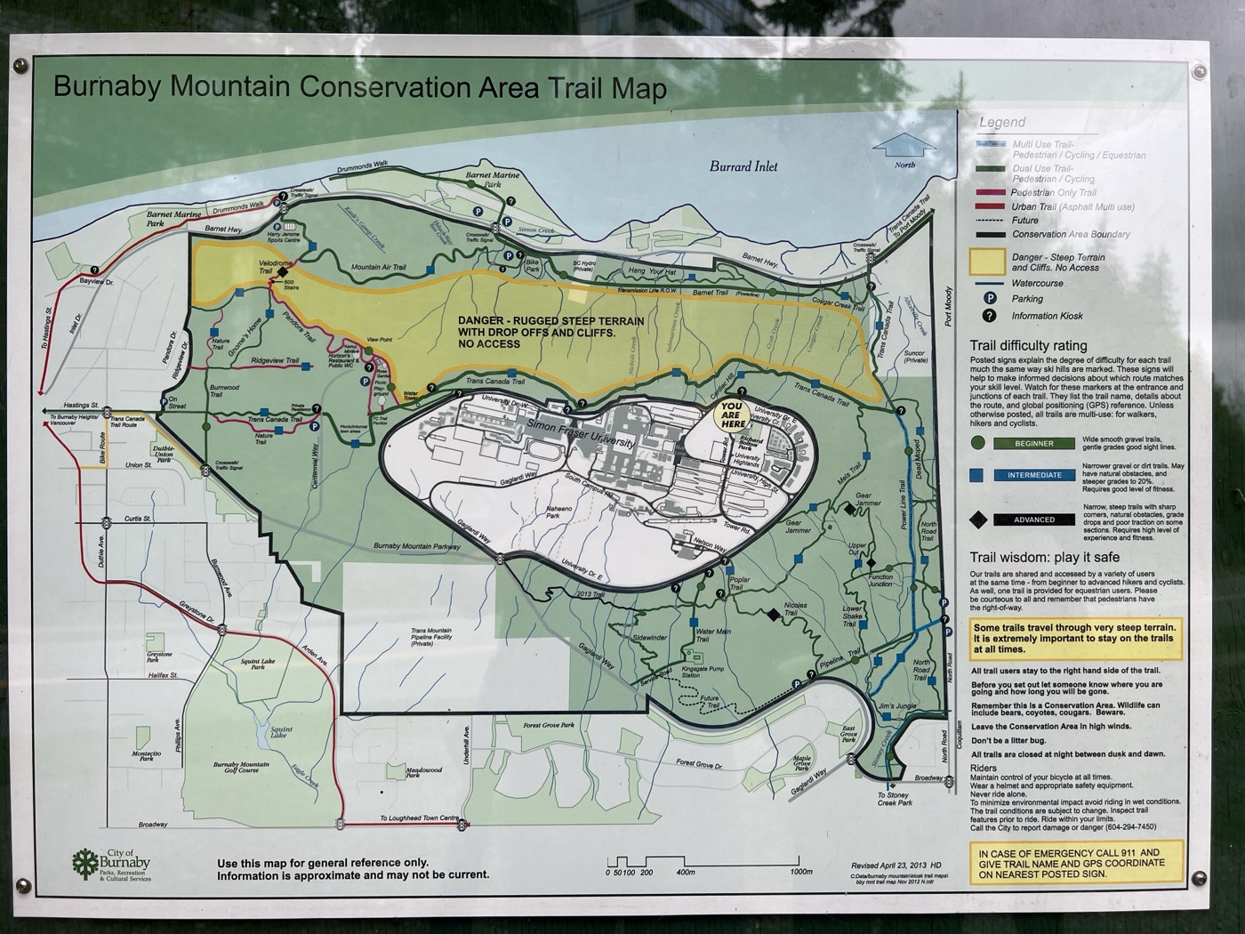
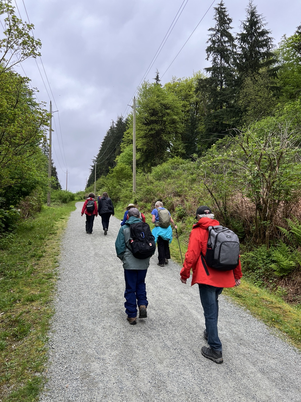
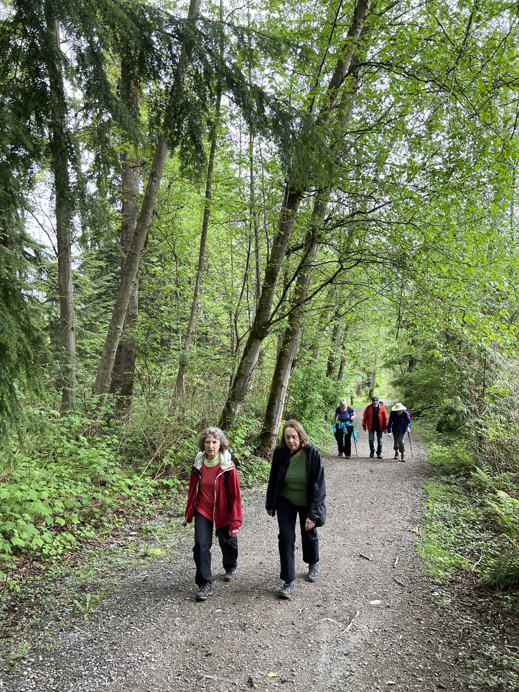
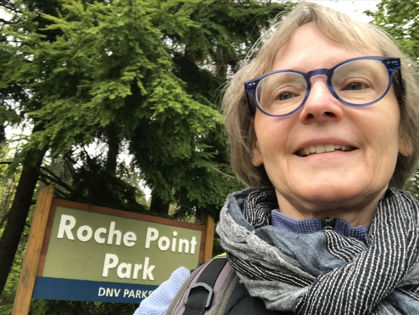
Our May Looper walk was organized and led by Annie and Jan, who had previously scouted out the trails surrounding Burnaby Mountain in search of a suitable route which incorporated the steepest of the hills. Nine of us met up at the usual 10:30 starting time, at the trailhead just opposite 7509 Pandora Drive, on an overcast day, with rain threatening. Other Loopers were more-or-less-simultaneously (if you ignore time zone differences) doing their own thing in other parts of the Looperverse: Jean on a solo walk in Deep Cove (in an attempt to avoid the worst of Burnaby Mountain’s ascents and descents); and a contingent of expatriate Loopers exploring ancient cart ruts and cave systems in Malta, under much bluer skies. Some brief bulletins describing those walks can be found at the end of this posting.
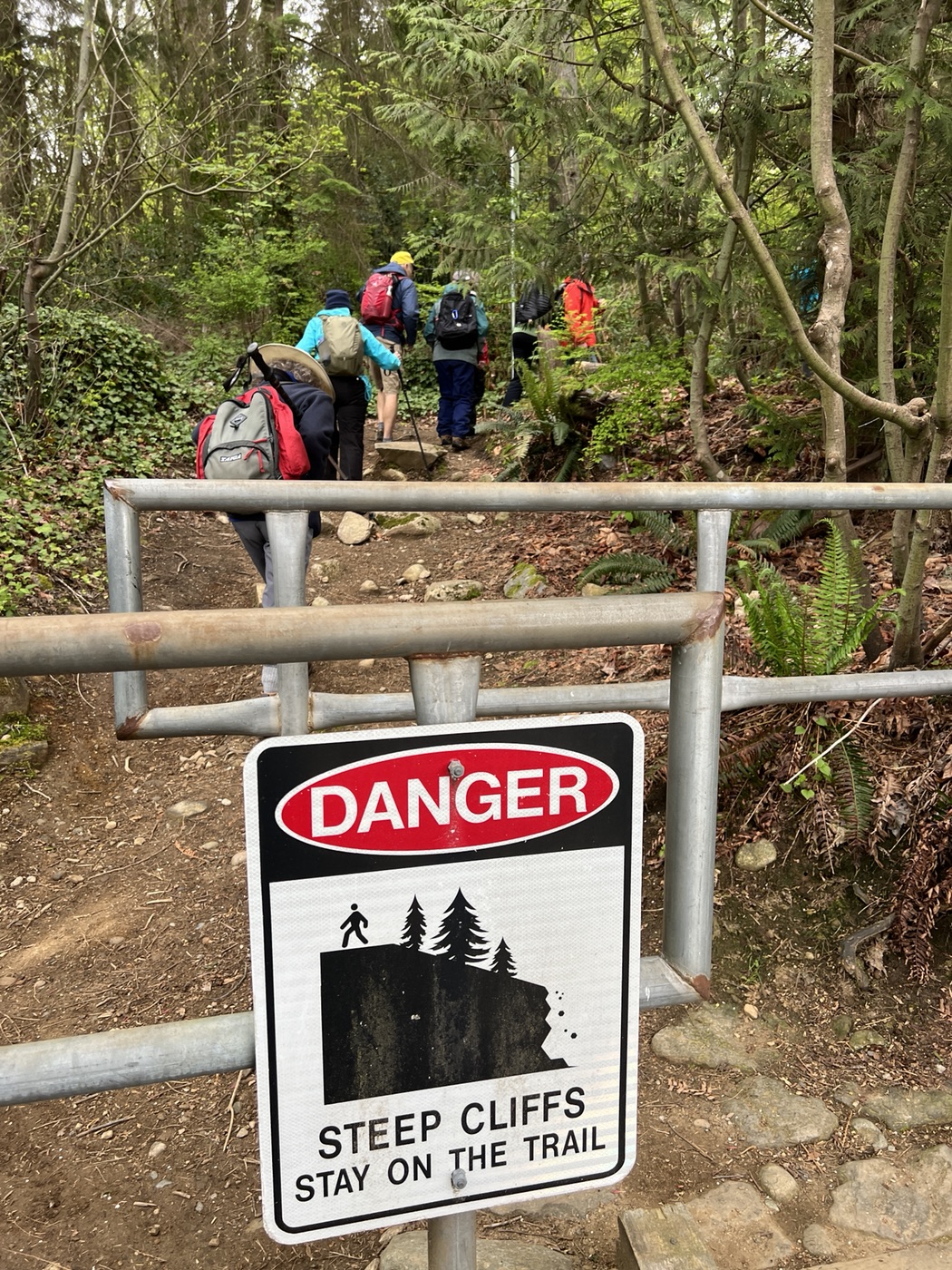
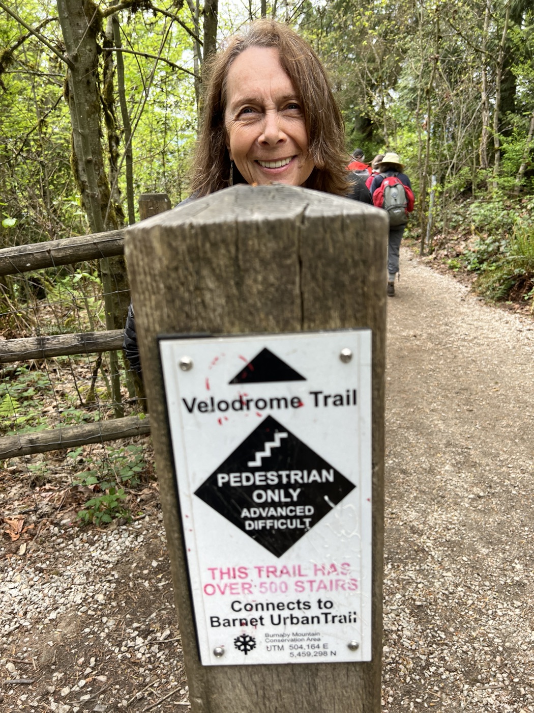
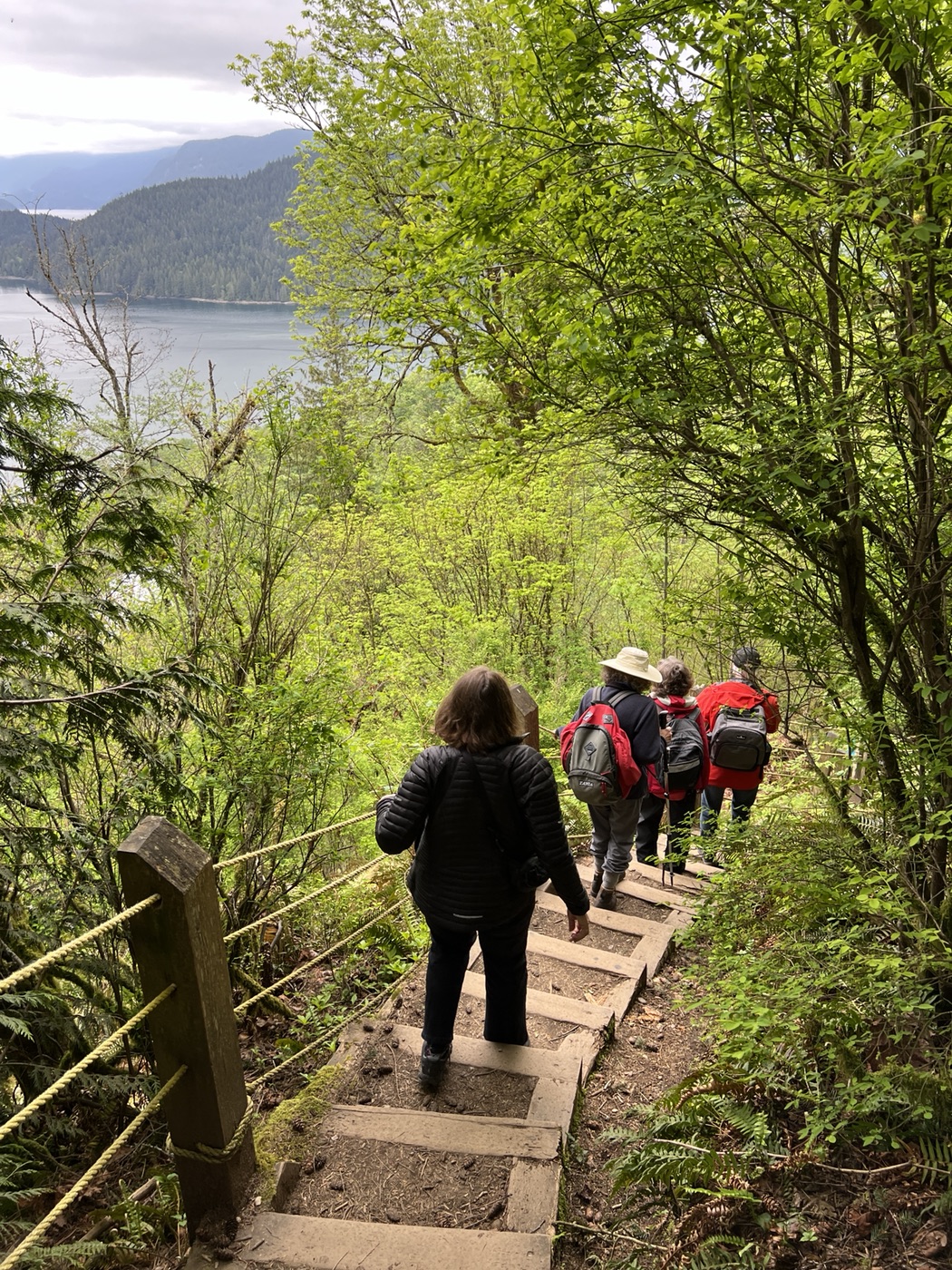
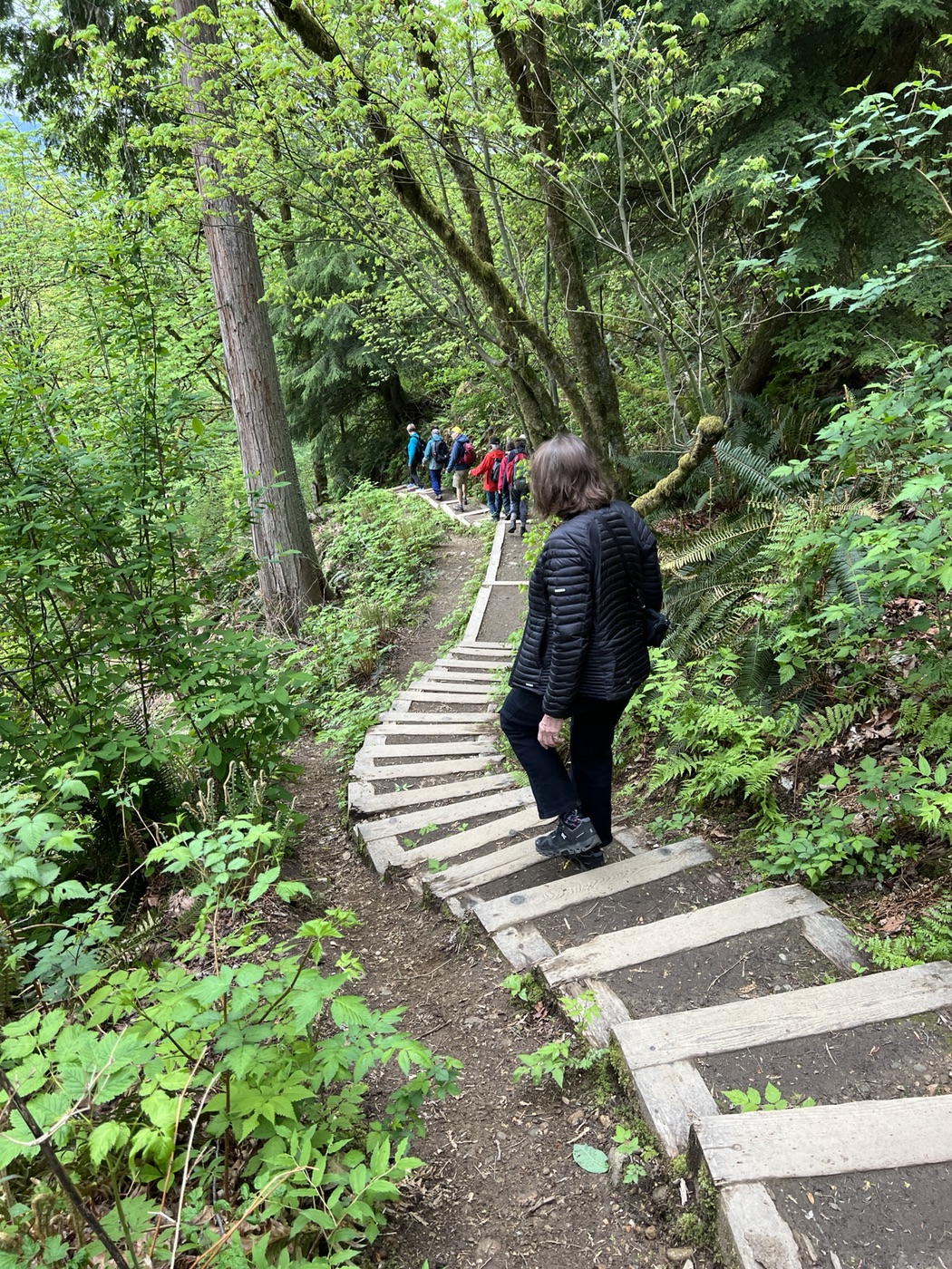
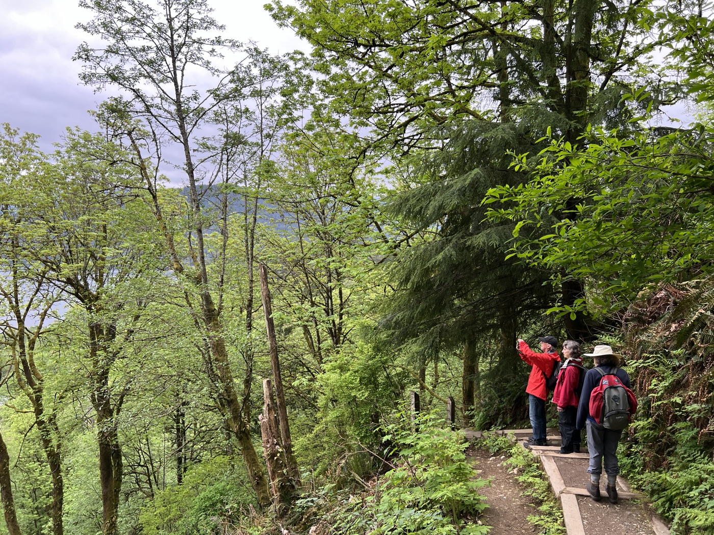
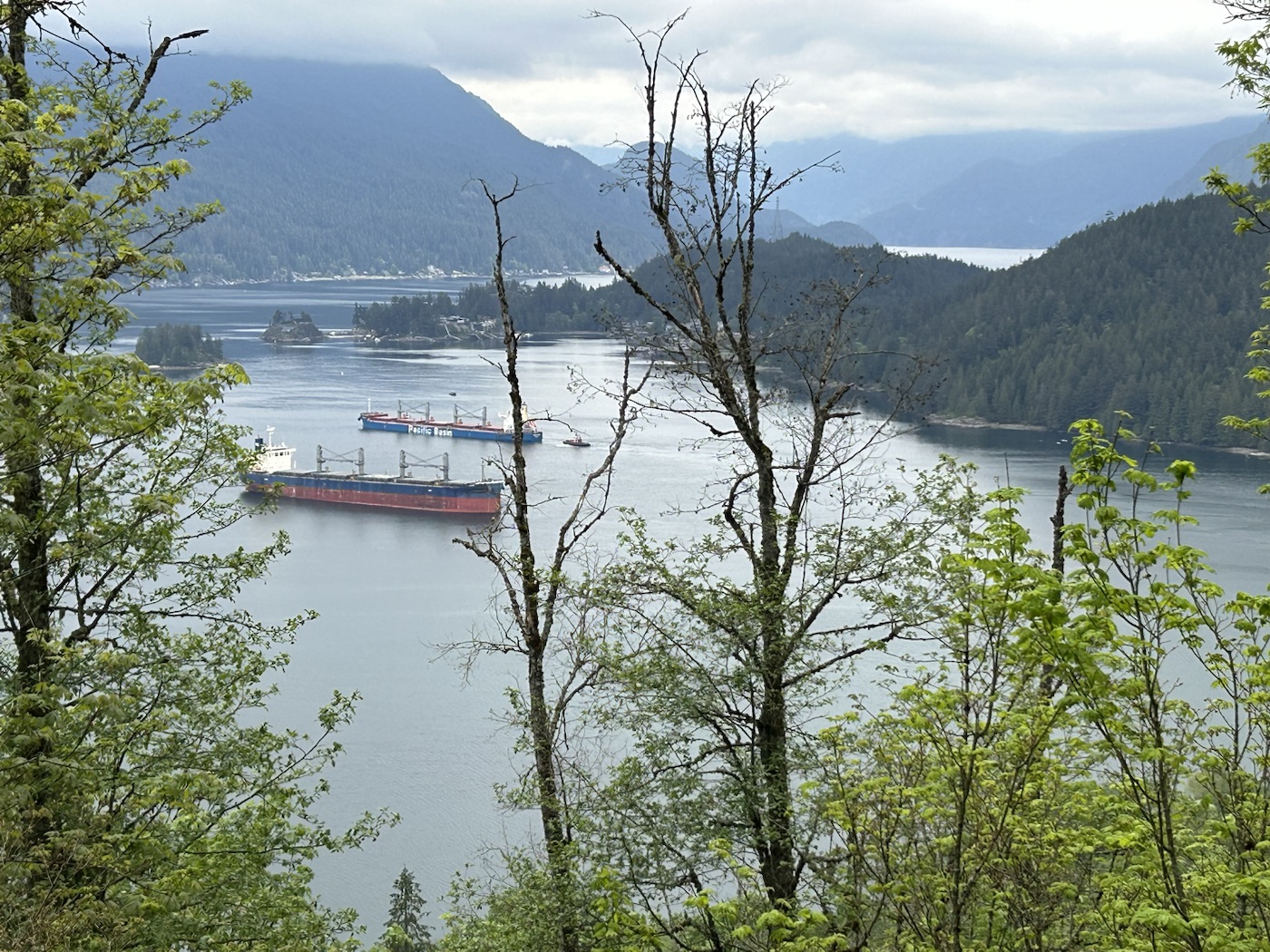
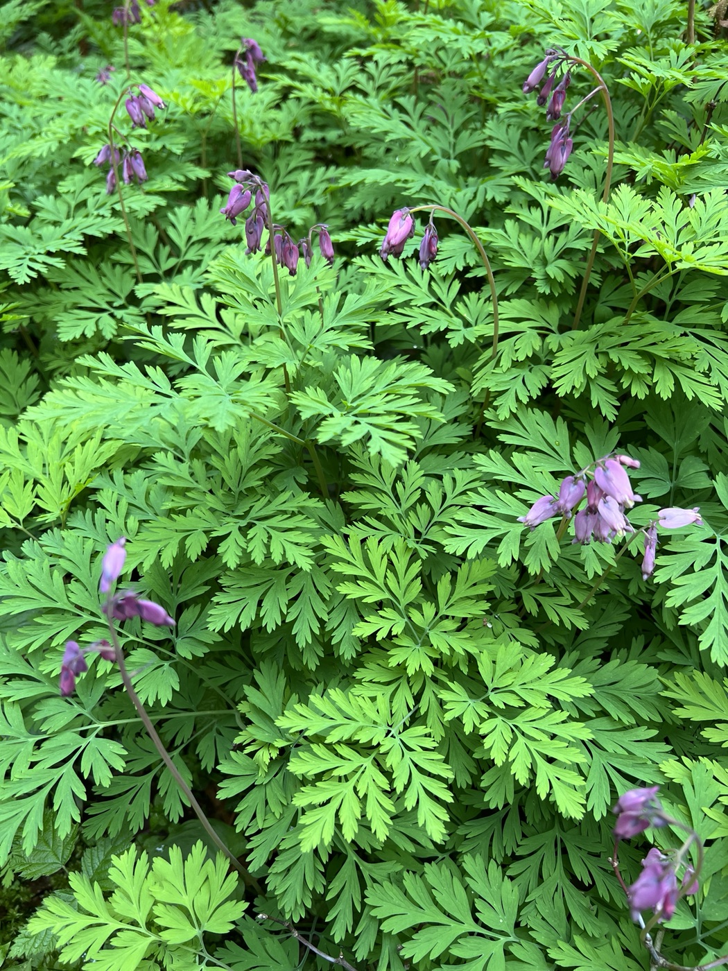
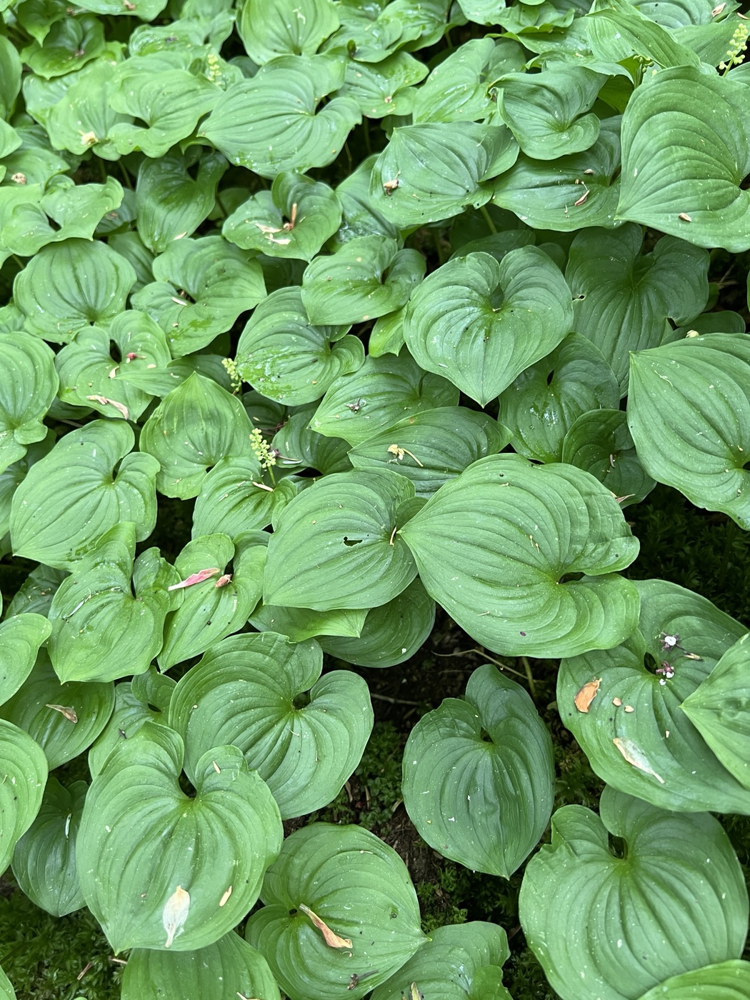
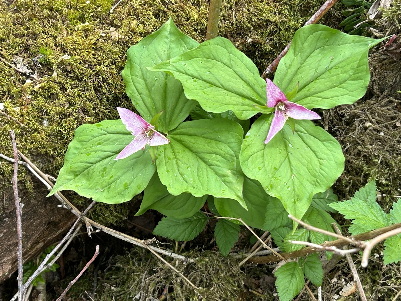
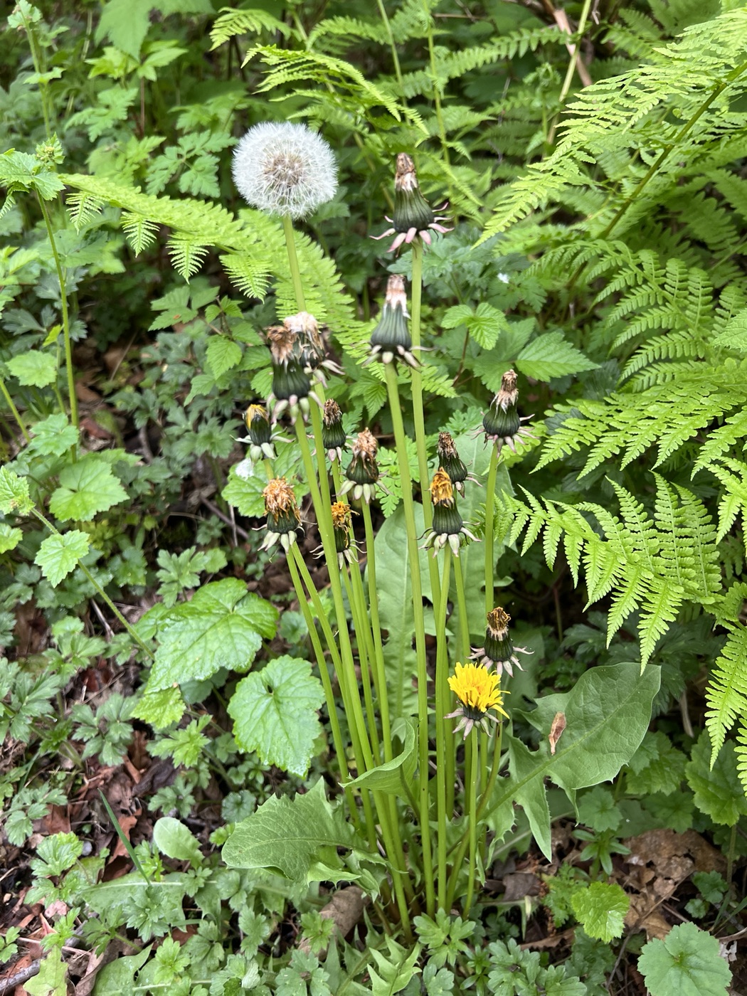
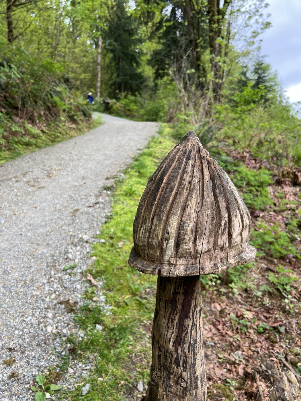
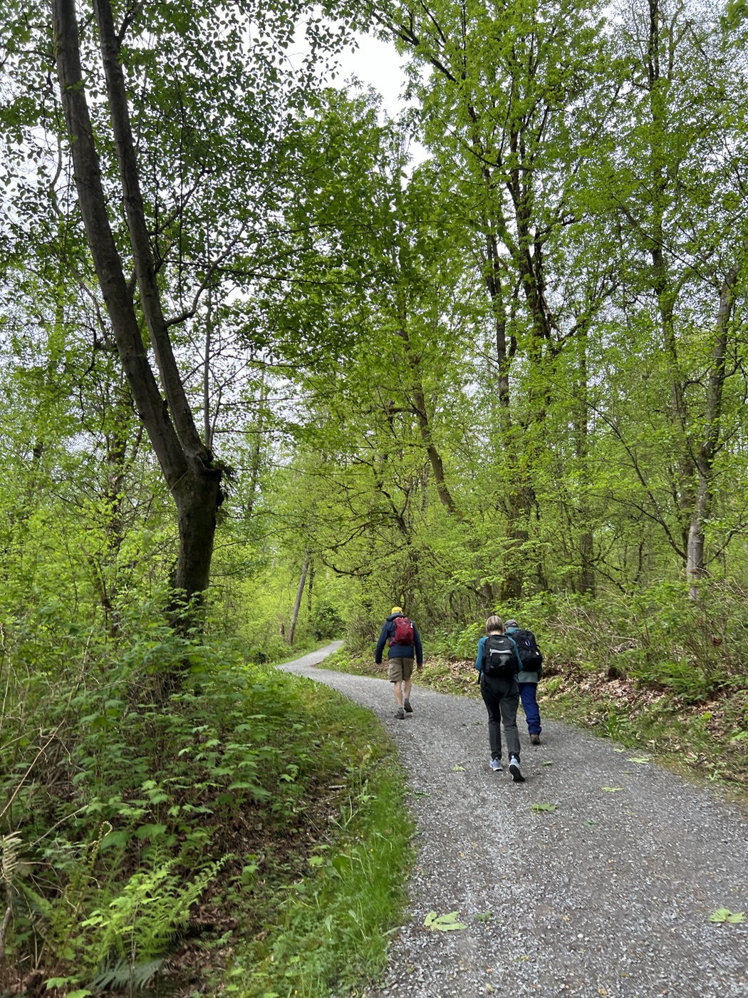
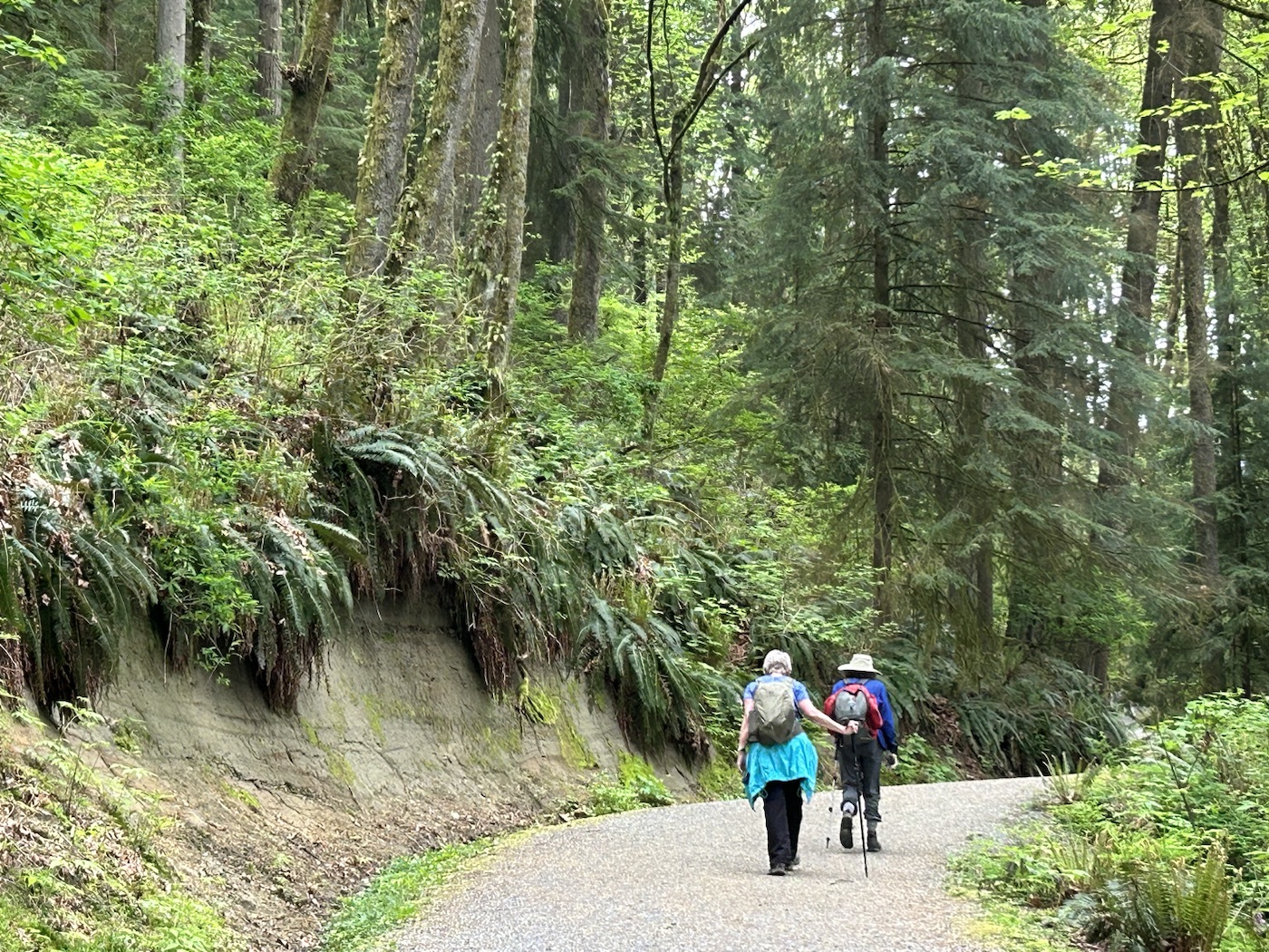
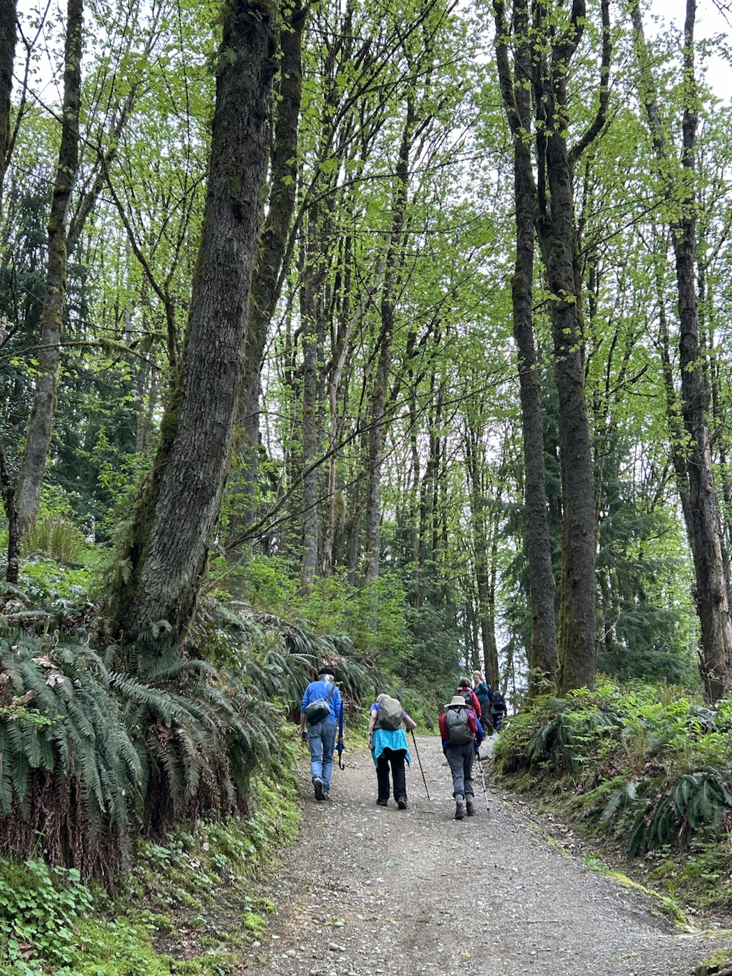
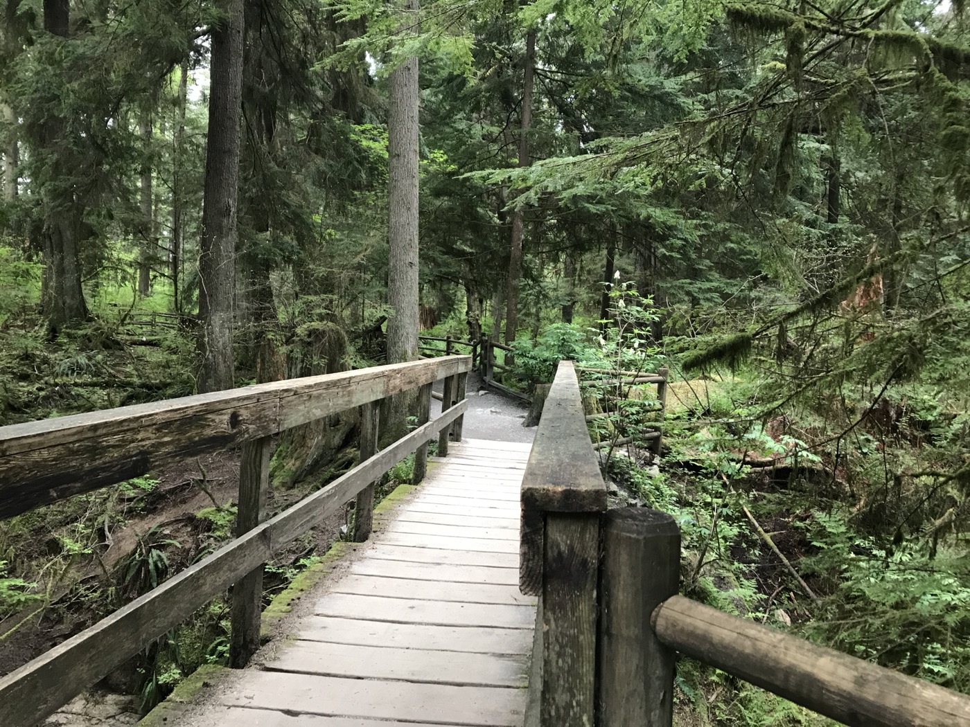
The Burnaby Mountain trail started out fairly gently, leading us uphill through vine maples, various ferns, and other seasonal flora which flaunted themselves in diverse shades of green. We soon came to the start of the Velodrome trail, a 500-step staircase leading down, which took us to the base of the steep bluff which marks the northern edge of Burnaby Mountain. Excellent views of Indian Arm were on offer during our descent.
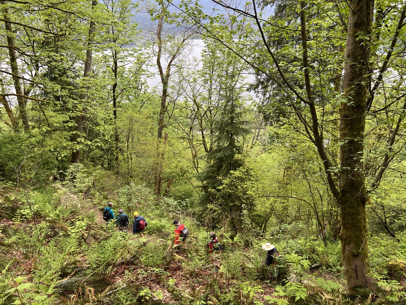

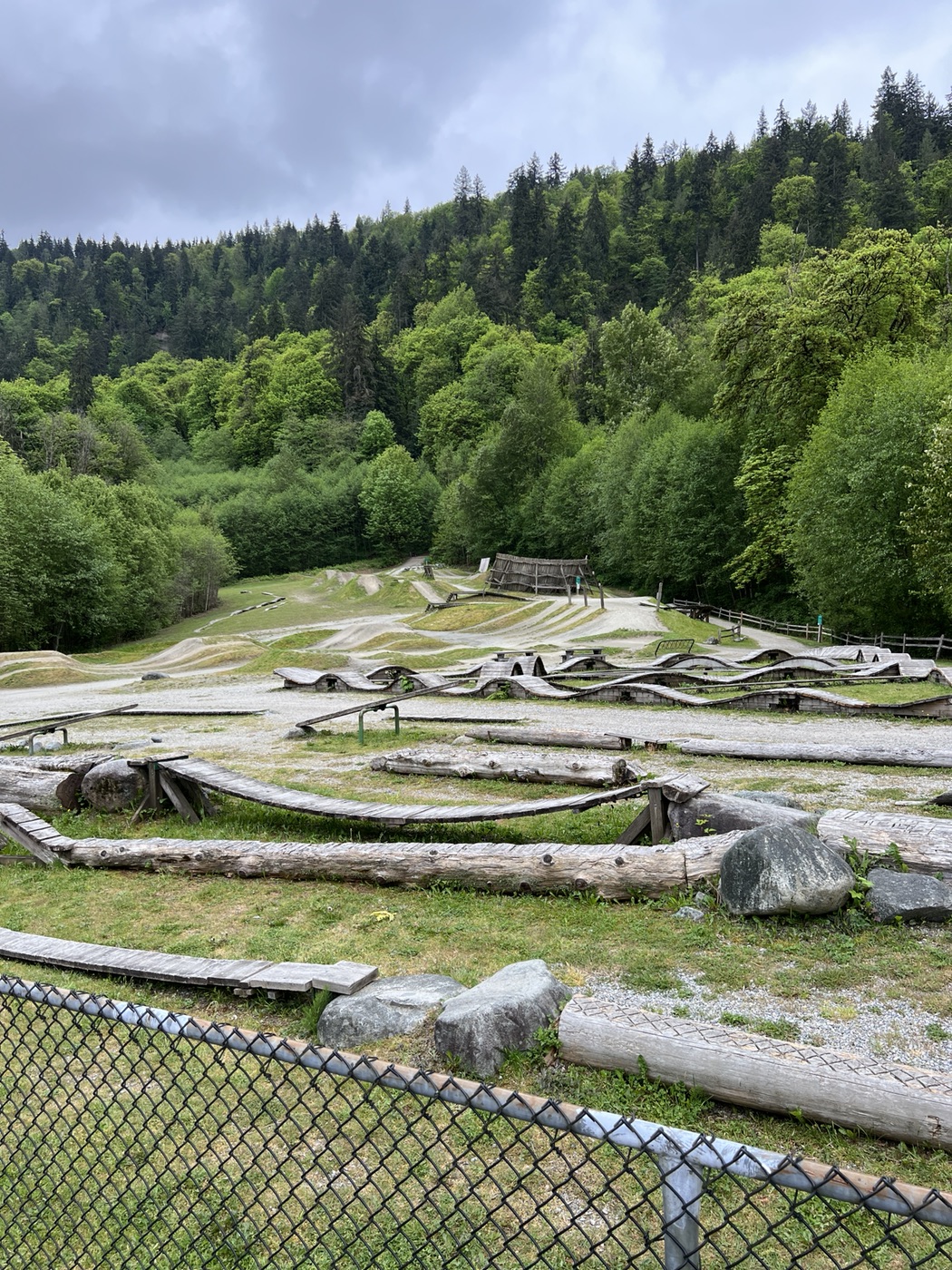
At the bottom of Velodrome trail we turned east to follow the Mountain Air trail, which led us to the Mountain Air Bike Skills course, featuring “a circuit of rollers, banked turns and features designed to be ridden completely by riders ‘pumping’–generating momentum by up and down body movements, instead of pedaling or pushing.” Unfortunately we’d forgotten to bring our bicycles along, so we simply continued east on foot along Barnet Trail to the point where it joins the Trans Canada Trail, the start of our ascent of Burnaby Mountain.
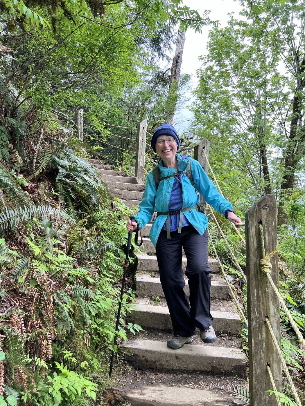
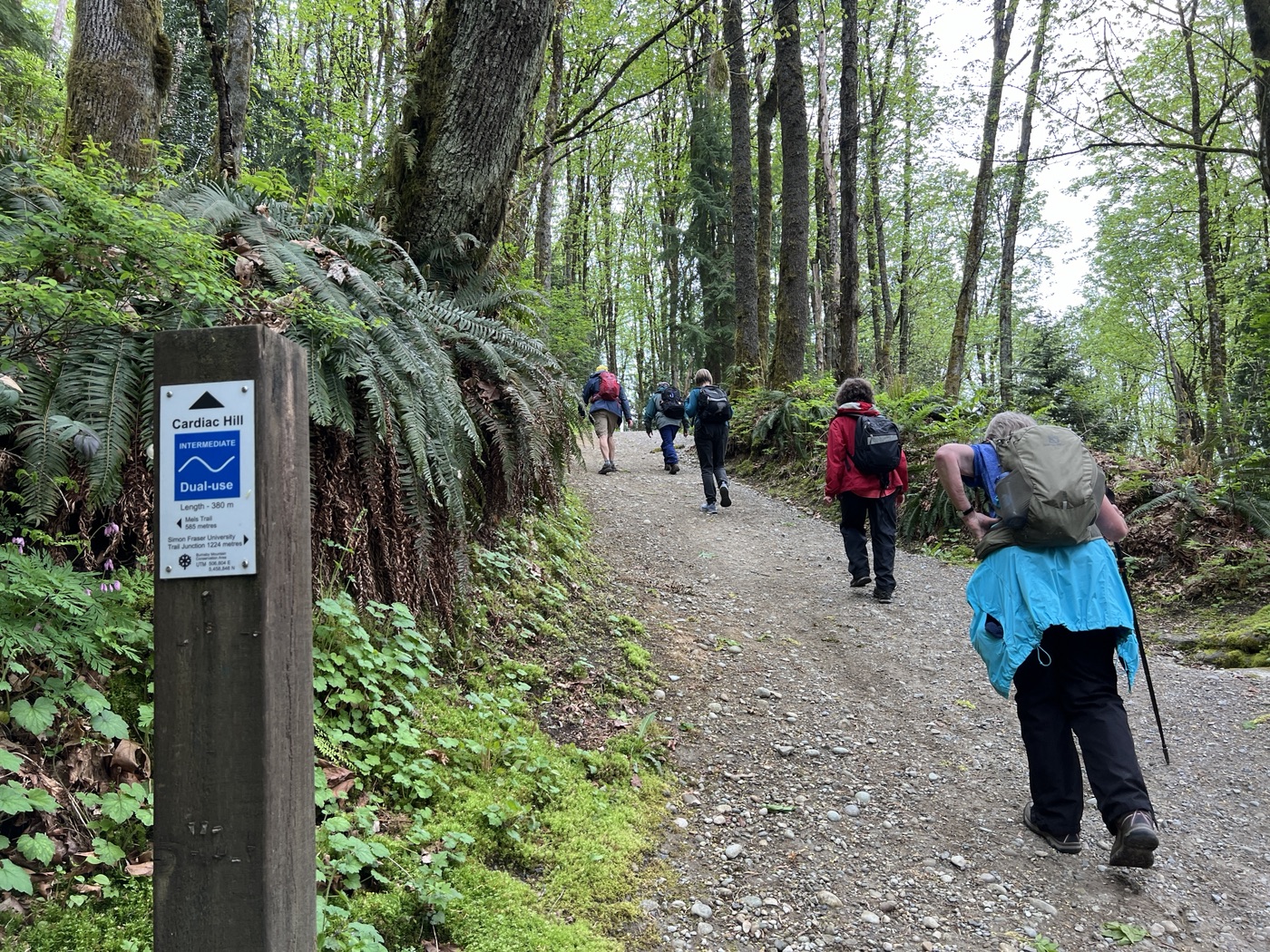
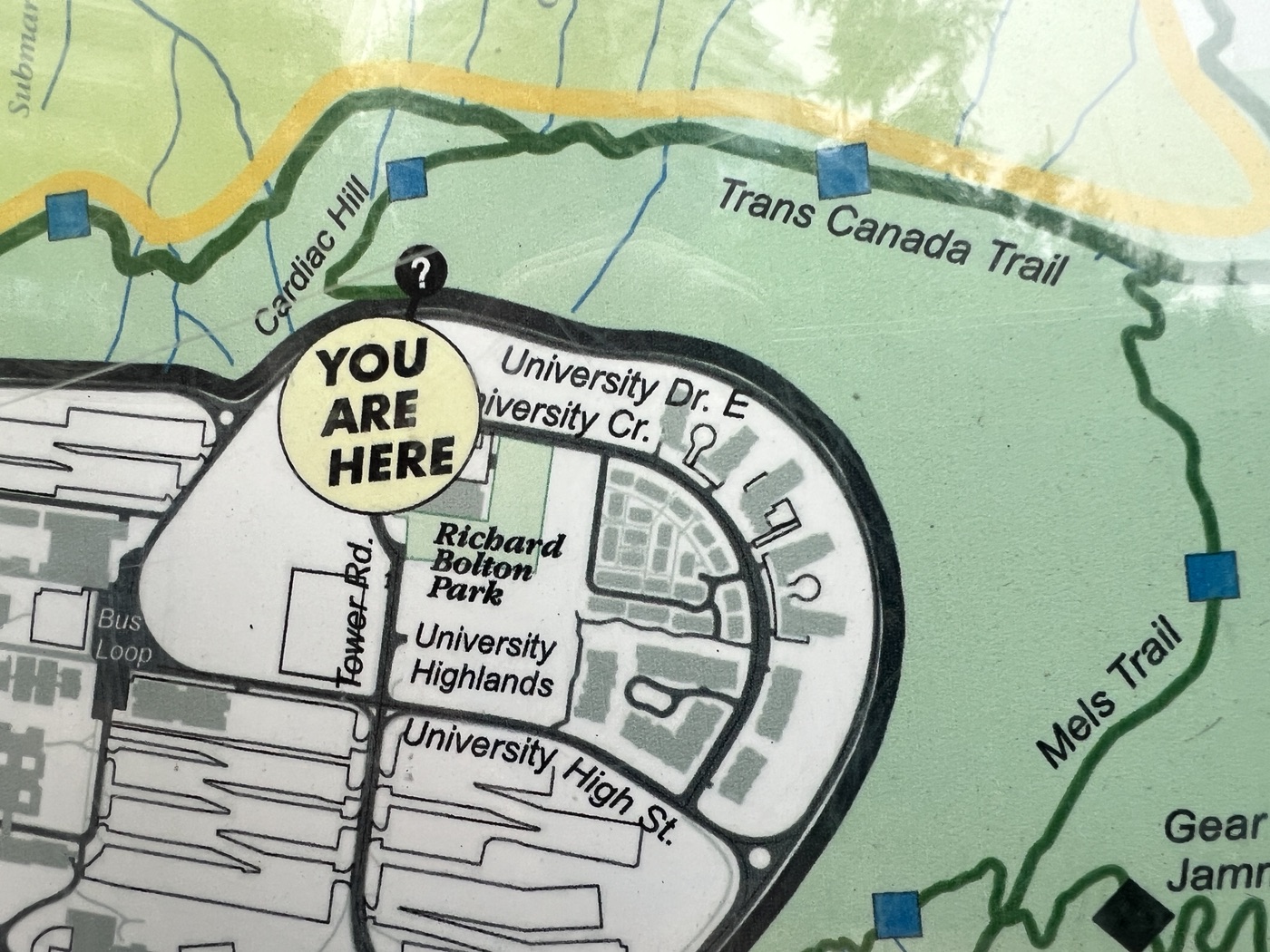
Just when we thought we’d got the steepest sections behind us, and were nearing the top, we found ourselves at the bottom of the aptly-named Cardiac Hill, a 380-meter section of trail which has been awarded “a Walk Score of 70 out of 100” by walkscore.com (“This location is Very Walkable so most errands can be accomplished on foot.”), which deposited us at the edge of the Burnaby campus of SFU, ready for a break.
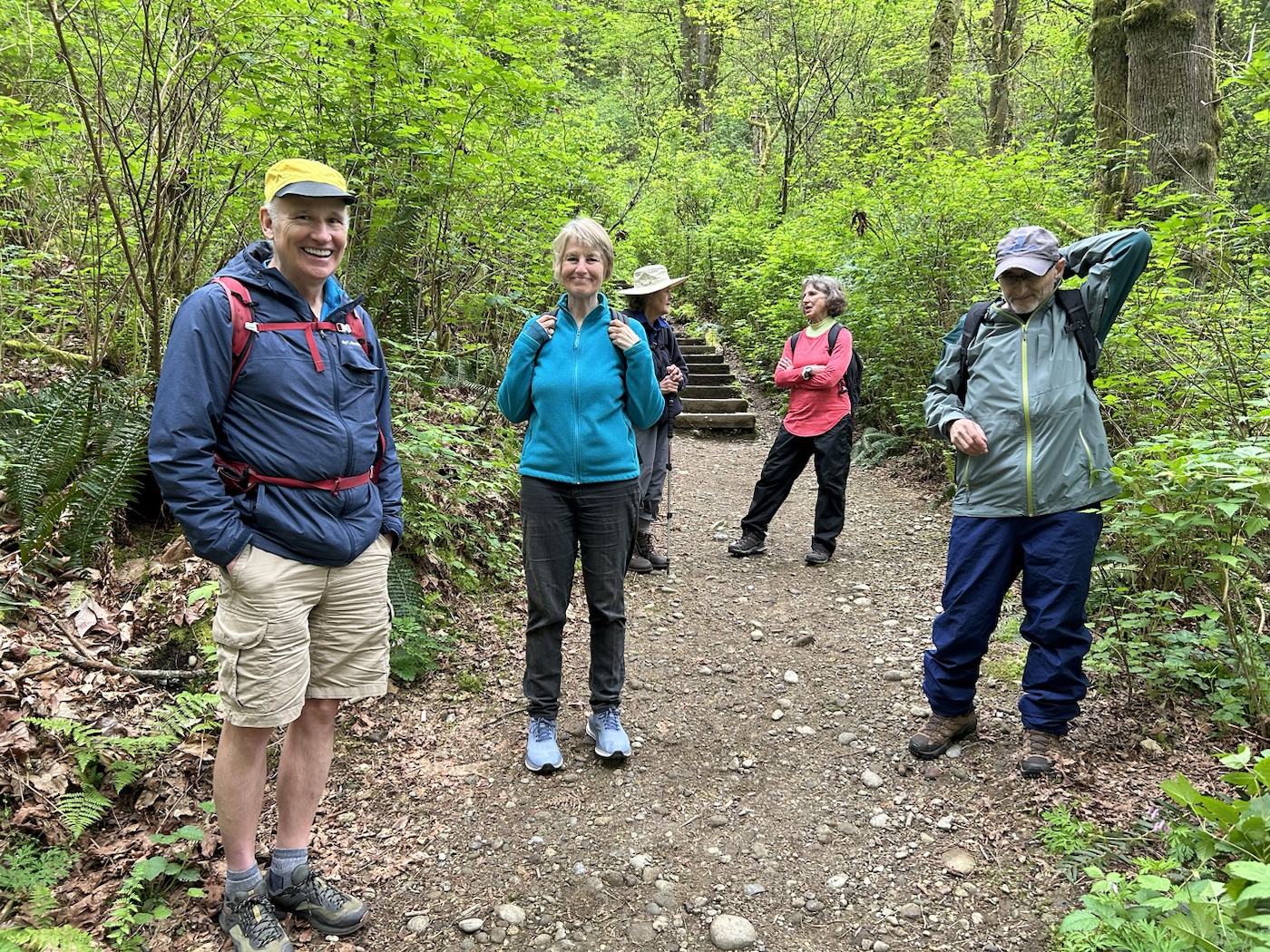
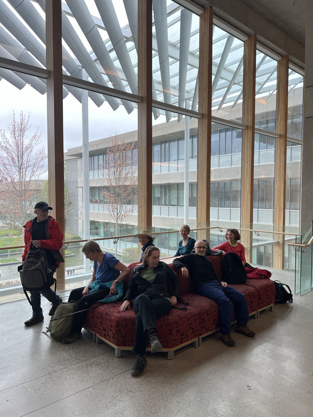
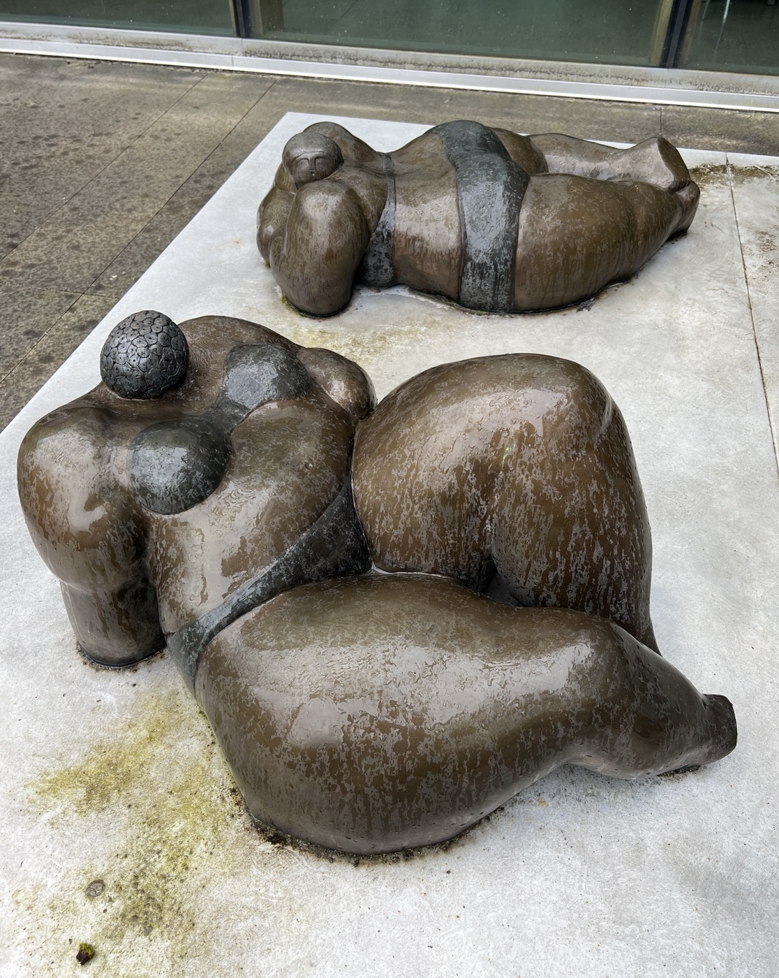
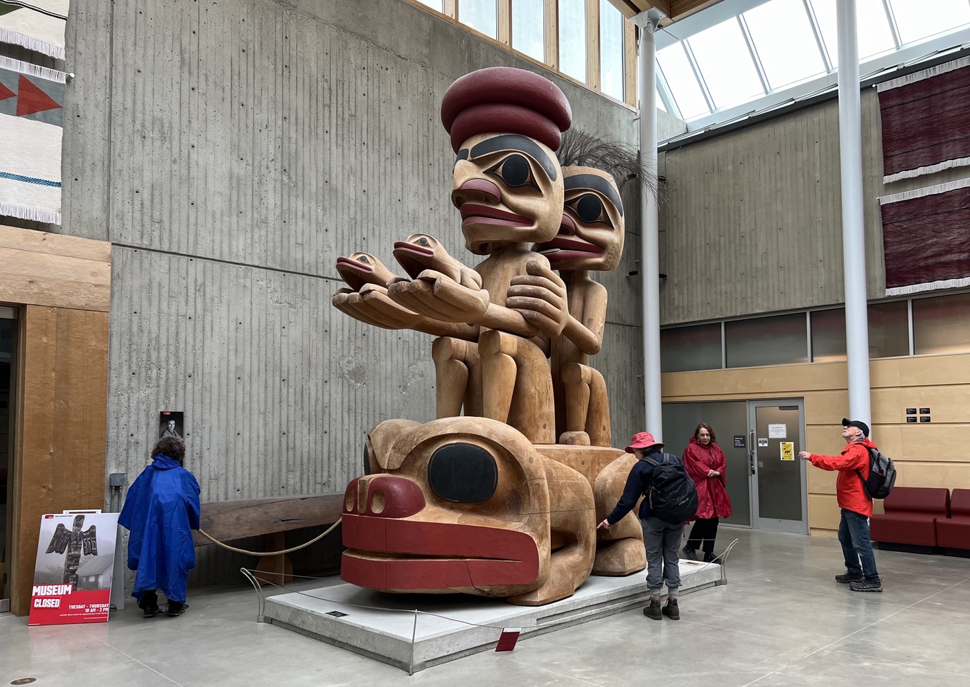
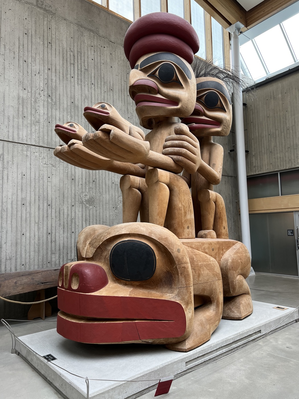
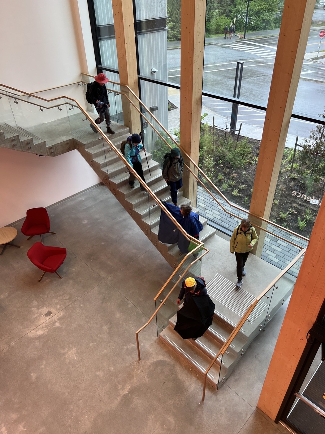
For our snack break we took full advantage of the comfy seating, the water fountains, and the washrooms on offer in Blusson Hall, where we could observe the start of light rain showers outside. Post-snack, we continued our walk through the halls of SFU’s AQ, passing an amazing sculpture titled “Frog Constellation”, by James Hart, located at the entrance to the Museum of Archaeology & Ethnology. By judicious route-finding we managed to avoid deploying our umbrellas as long as possible.

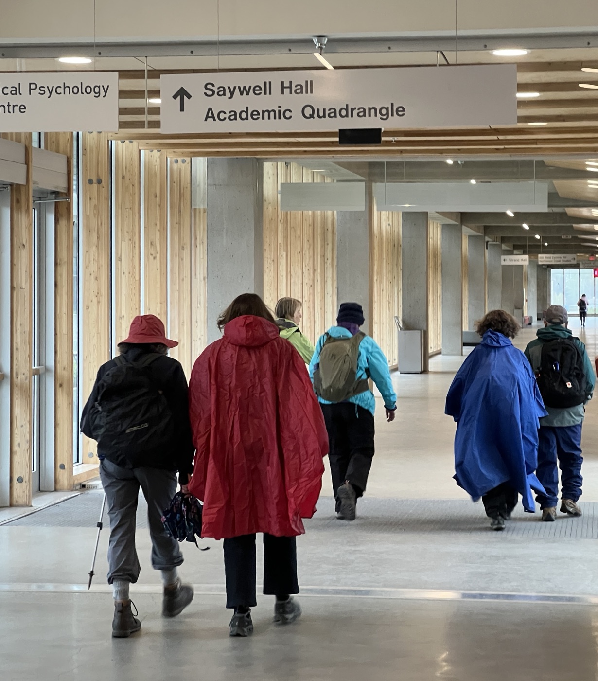

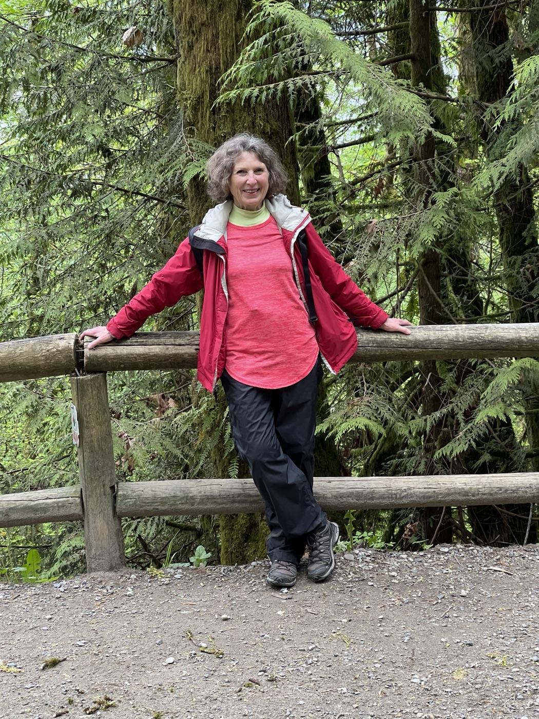
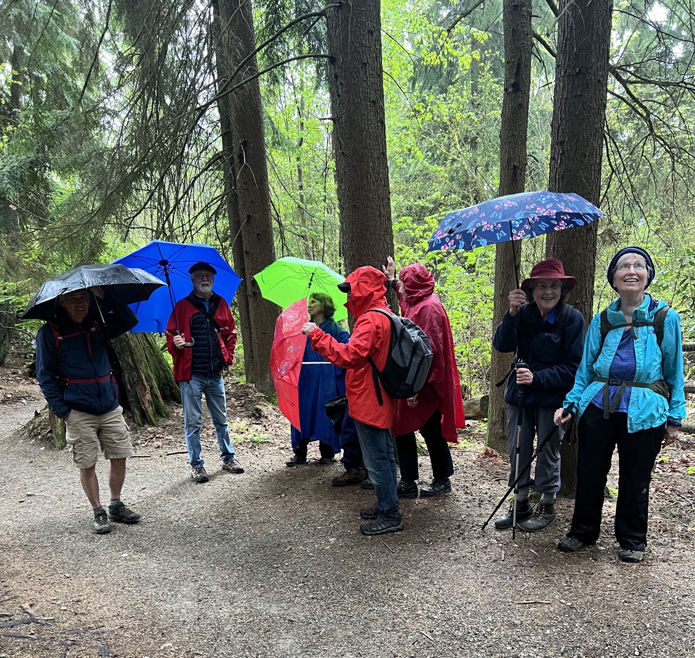
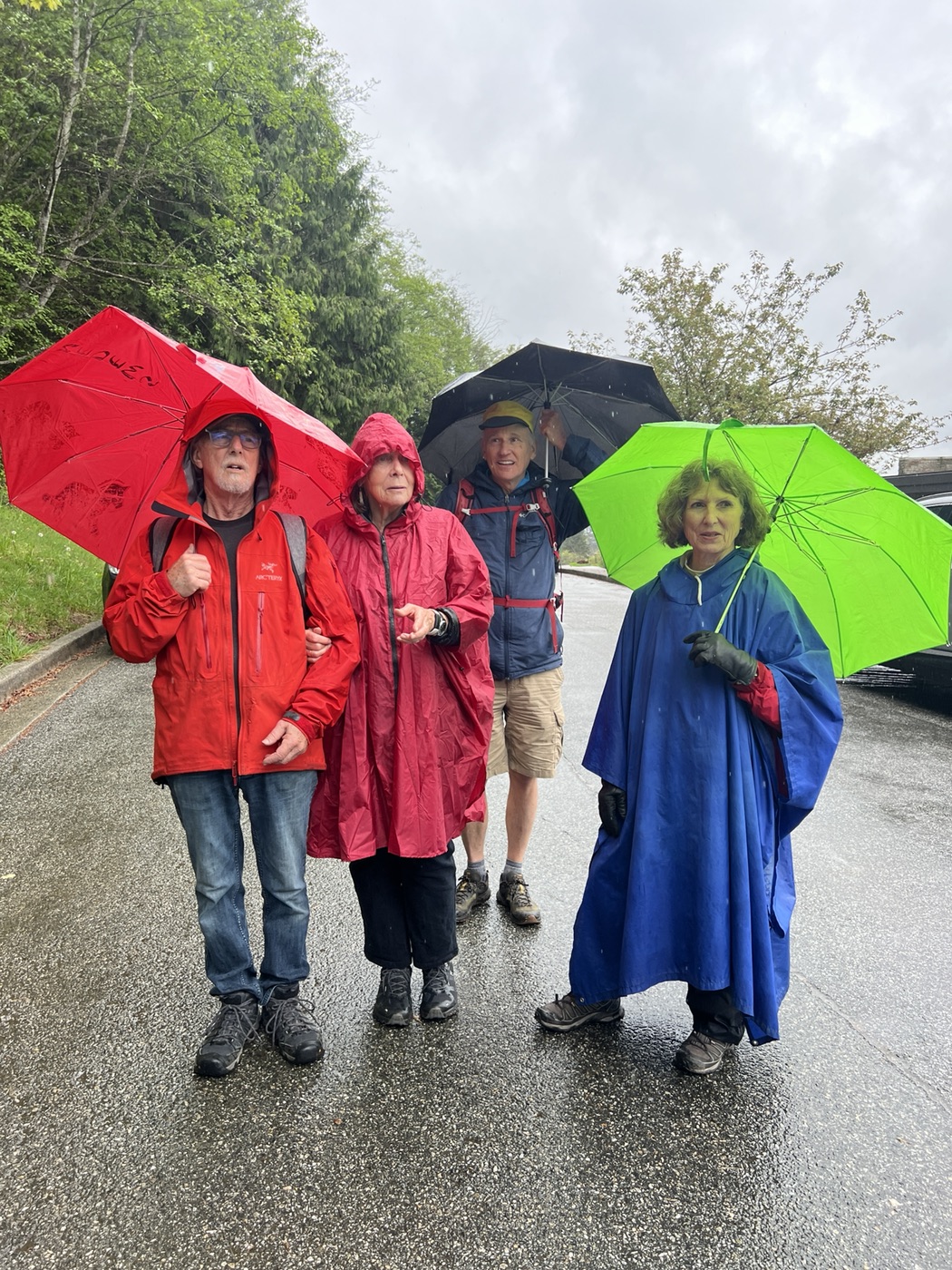
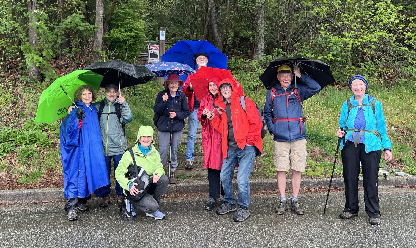
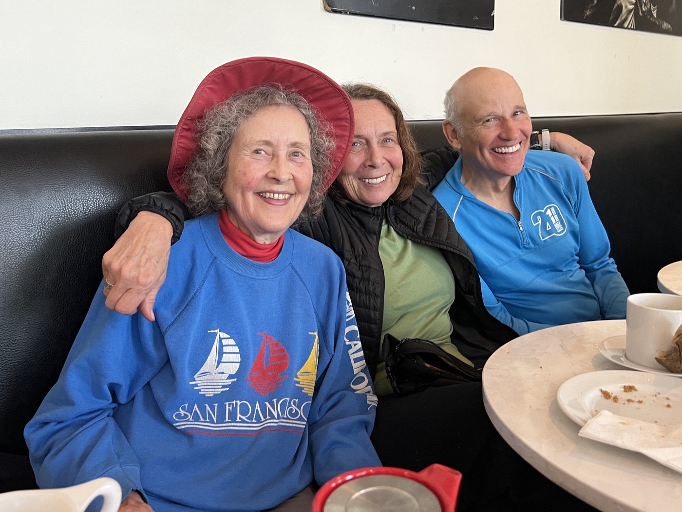
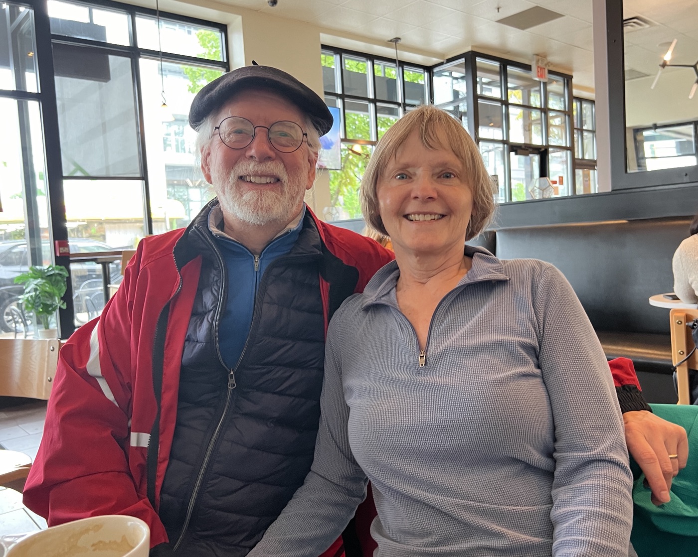
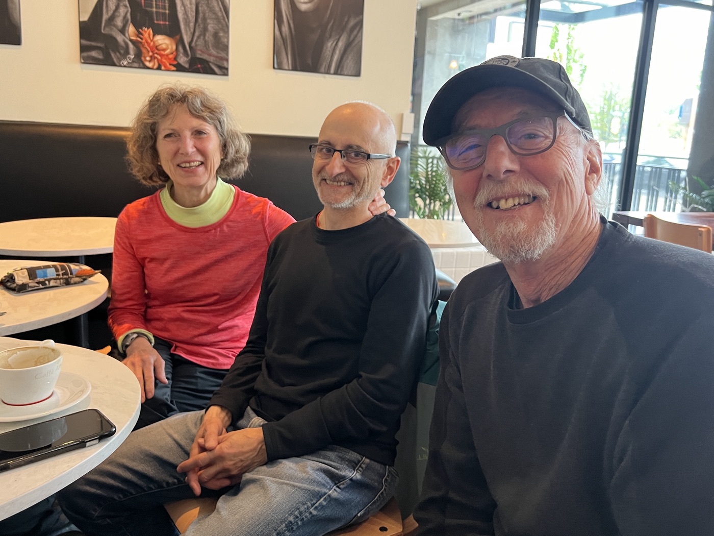
We finished our walk at about 2:30 pm, with umbrellas and rain ponchos out. Our various stats-gathering software packages were a bit at odds regarding: the total distance covered (let’s say approximately 11.5 km); the total steps (somewhere between 13k and 17k); and the altitude gained (either 39 or 102 flights). A local resident was persuaded to take a group photo to conclude our outing. Annie and Jan had a social commitment following the walk, but the rest—with Jean joining us—went for a caffeine and baked goods version of afters at Artigiano on East Hastings. A good time was had by all.
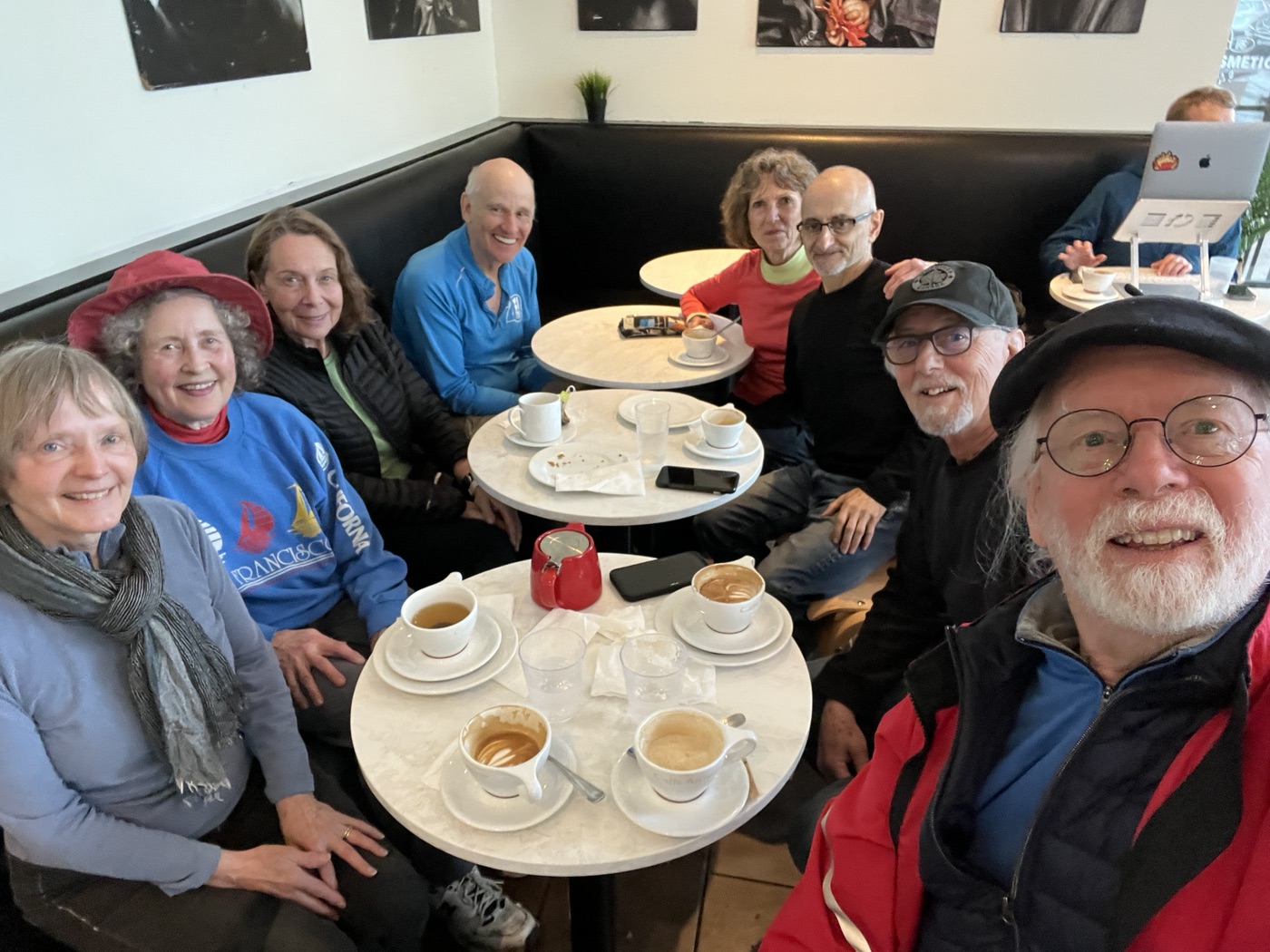
Photos by: Jan; David; Michael; unknown Burnaby resident.
Jean walks solo in Deep Cove
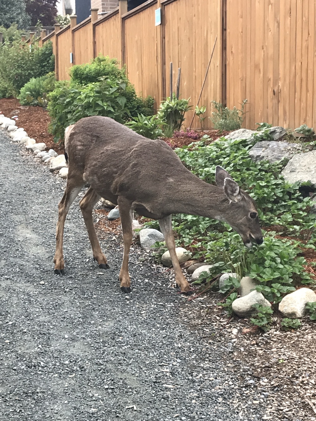
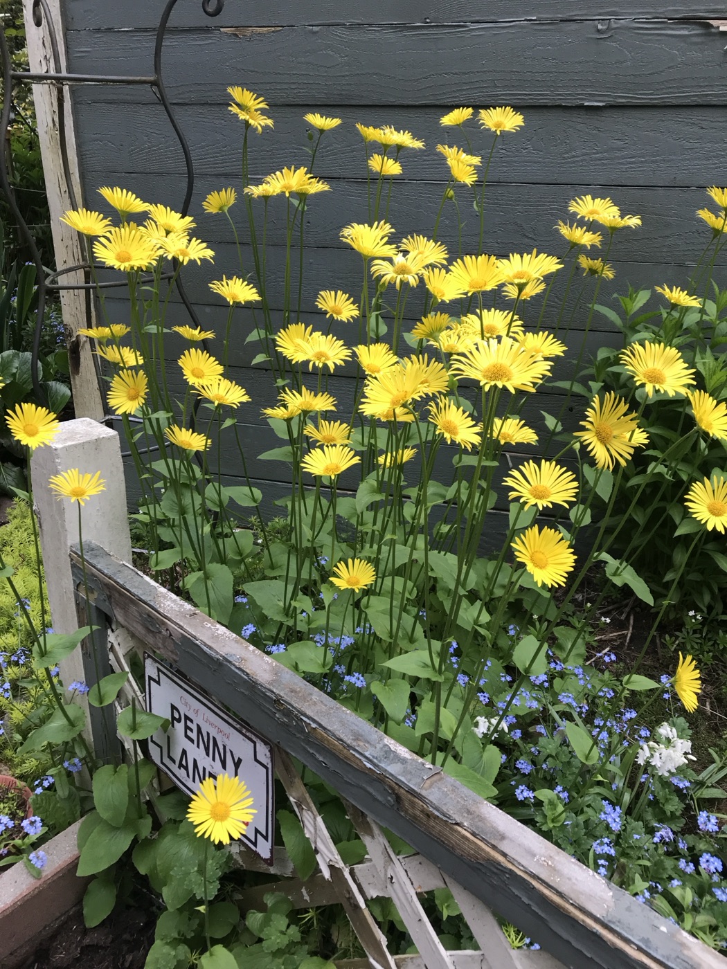
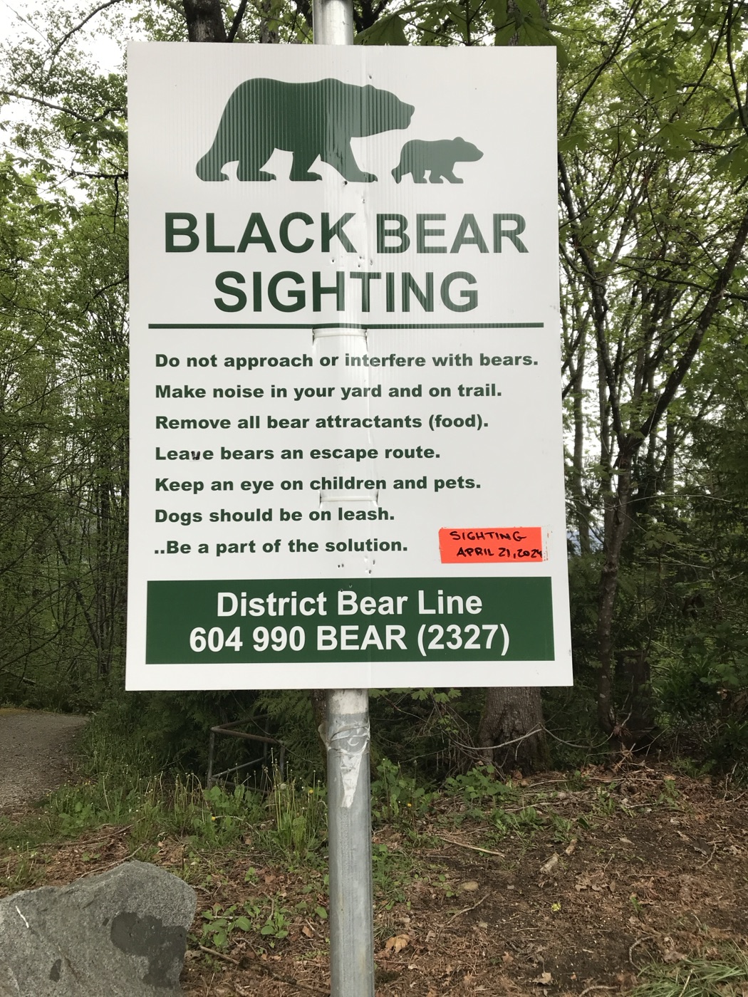
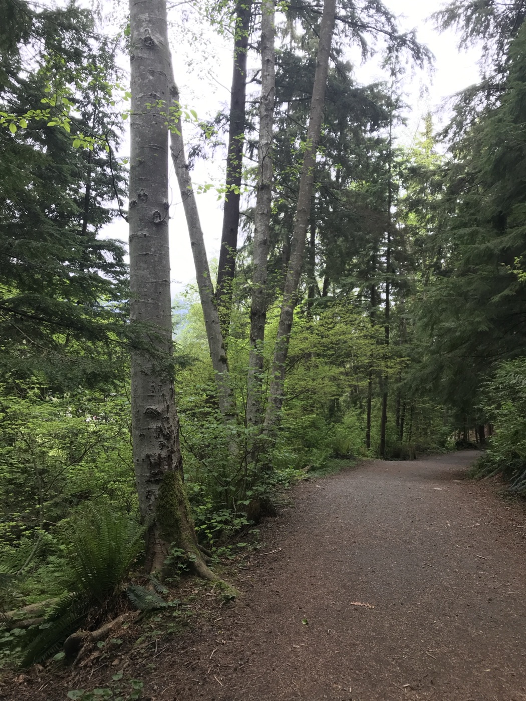
As noted above, while the rest of us slogged uphill and down in Burnaby, Jean went on a solo walk in Deep Cove (to avoid the worst of Burnaby Mountain’s ascents and descents); she contributed a selection of photos (below) to document her walk.

Loopers abroad: Malta
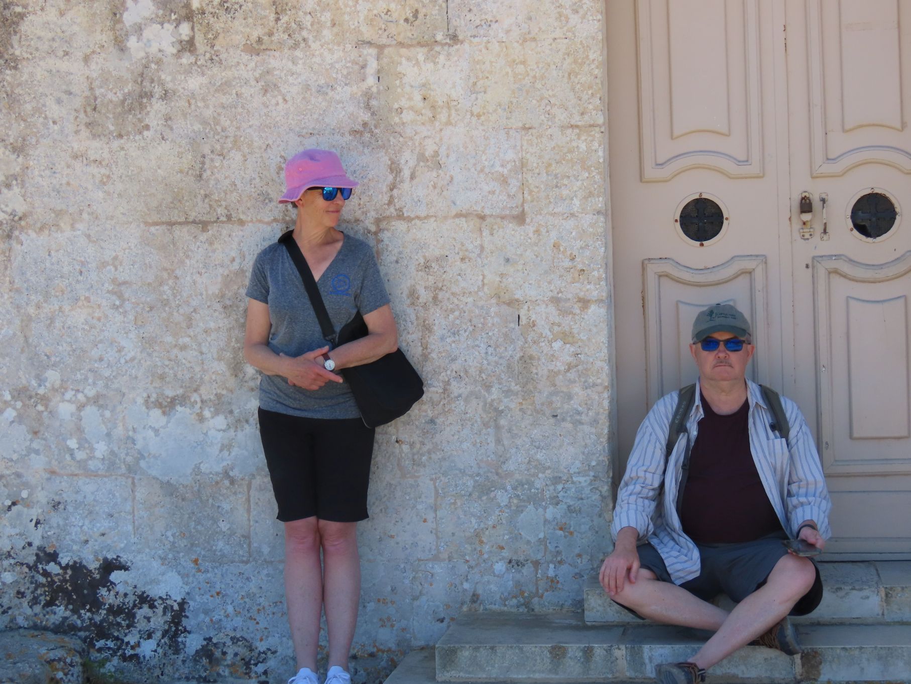
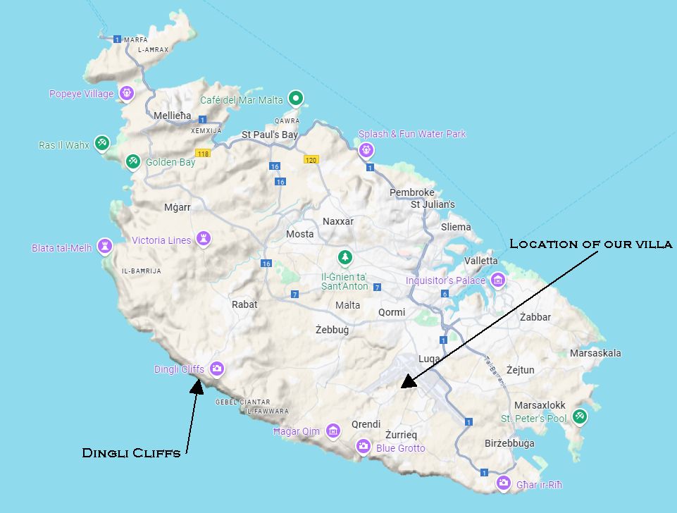
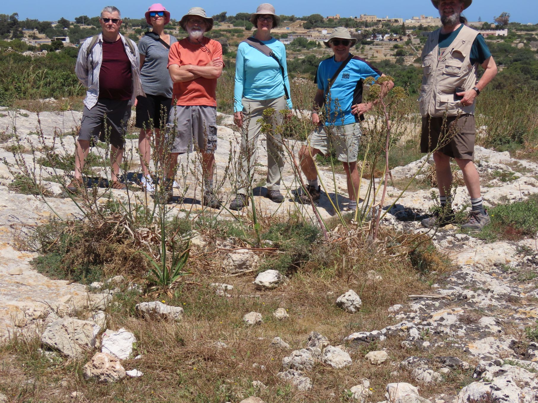
Jon writes: For the Malta contingent the location for our May walk was pretty much pre-ordained. In researching Malta before the trip, we came across references to a place called Clapham Junction. Most Loopers will be familiar with the name Clapham — it was Charles Clapham who wrote the books that were the basis for our first few years of walks. The Malta area actually refers to Clapham Junction in London England, one of the busiest train stations in Europe, but with the Looper connection how could we resist visiting?
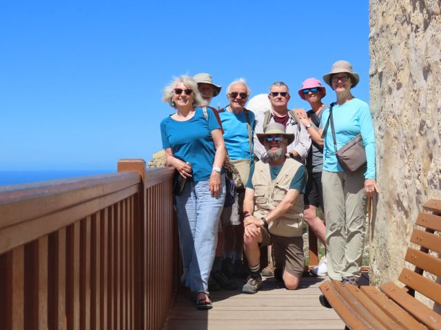
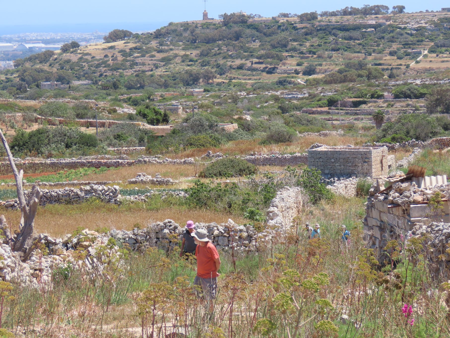
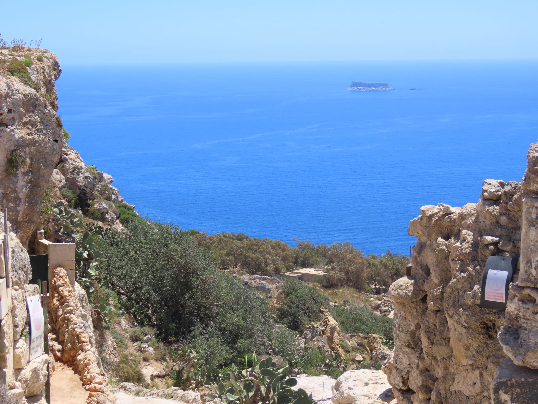
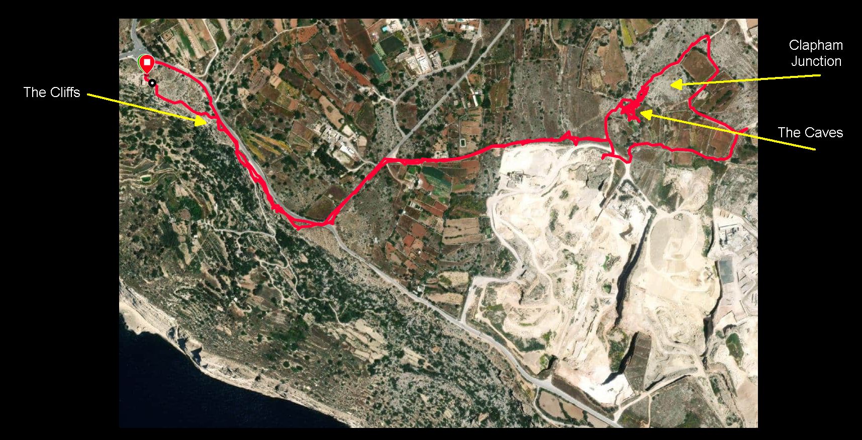
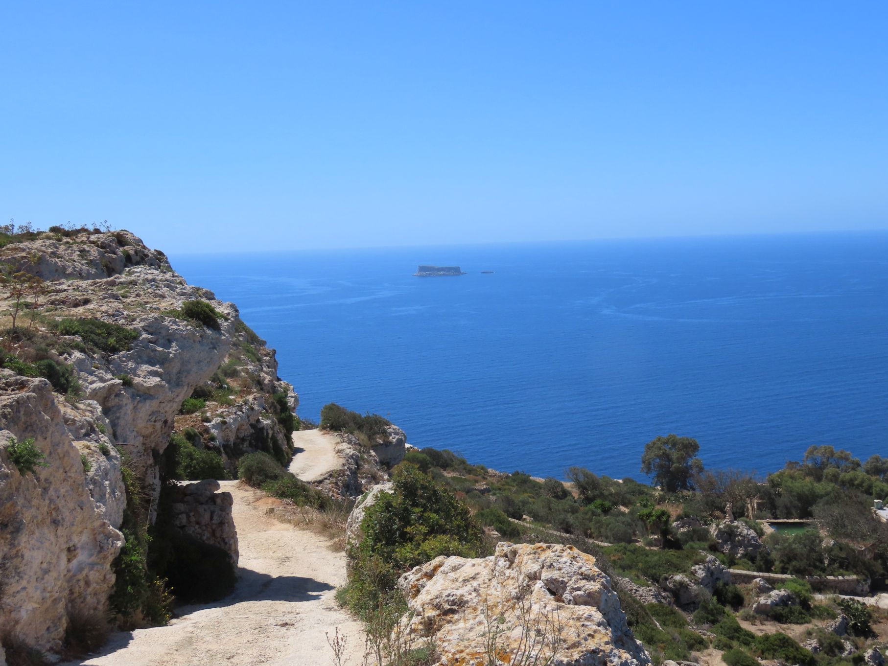
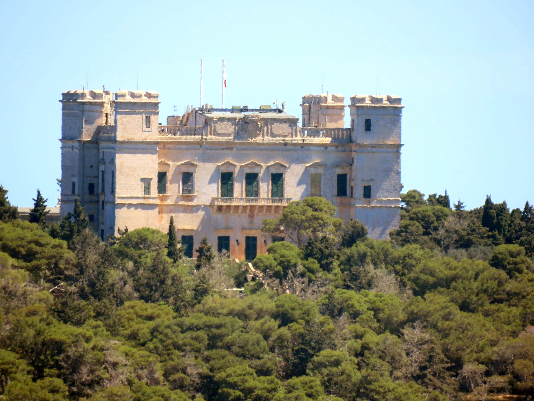
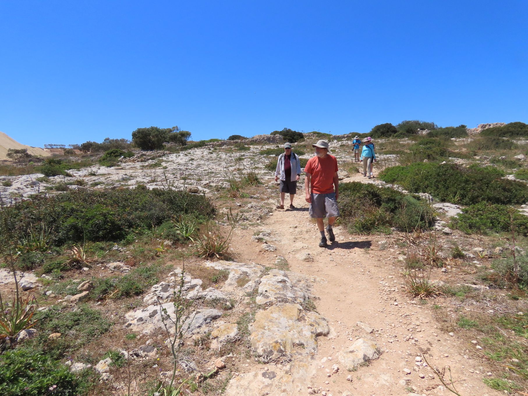
We Uber’ed to a viewpoint by a small chapel along the Dingli Cliffs. Located on the west coast, they are the highest spot in Malta and offer great views. After our starting selfie we headed out along the Cliffs for a short distance, admiring the view, and then turned inland along a side road. A short way along this road we found a trail heading off to the south.
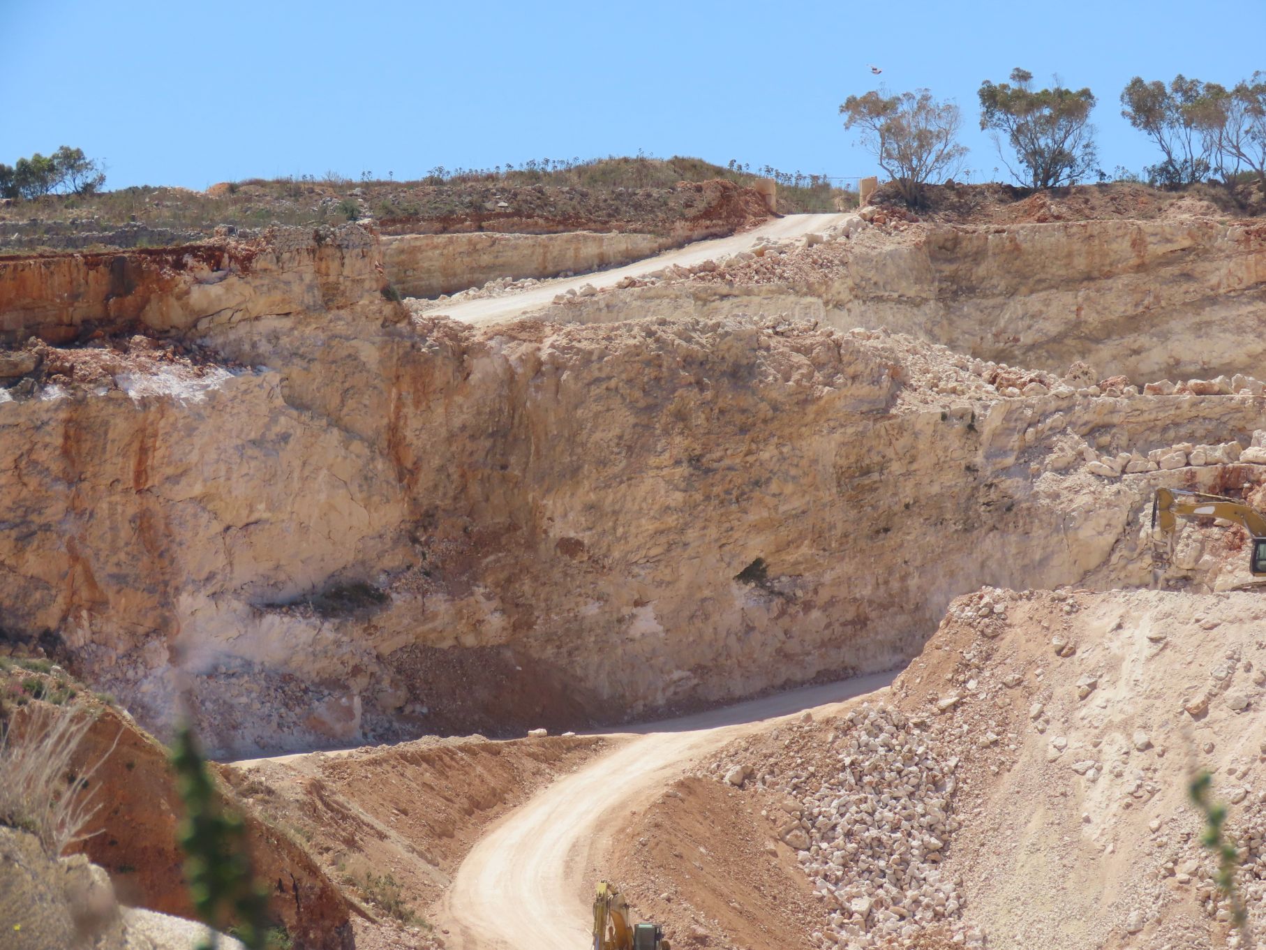
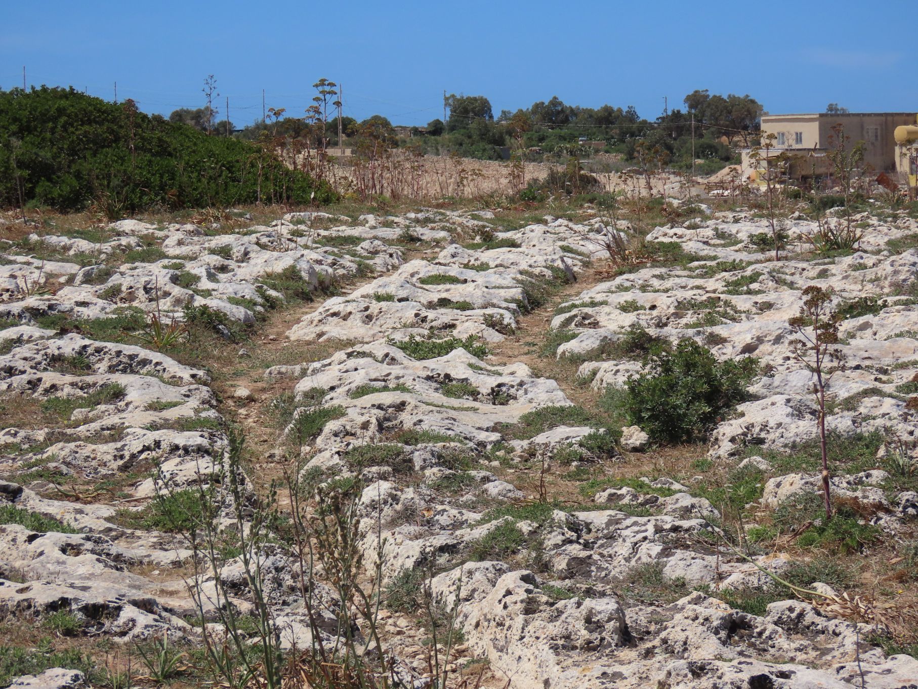
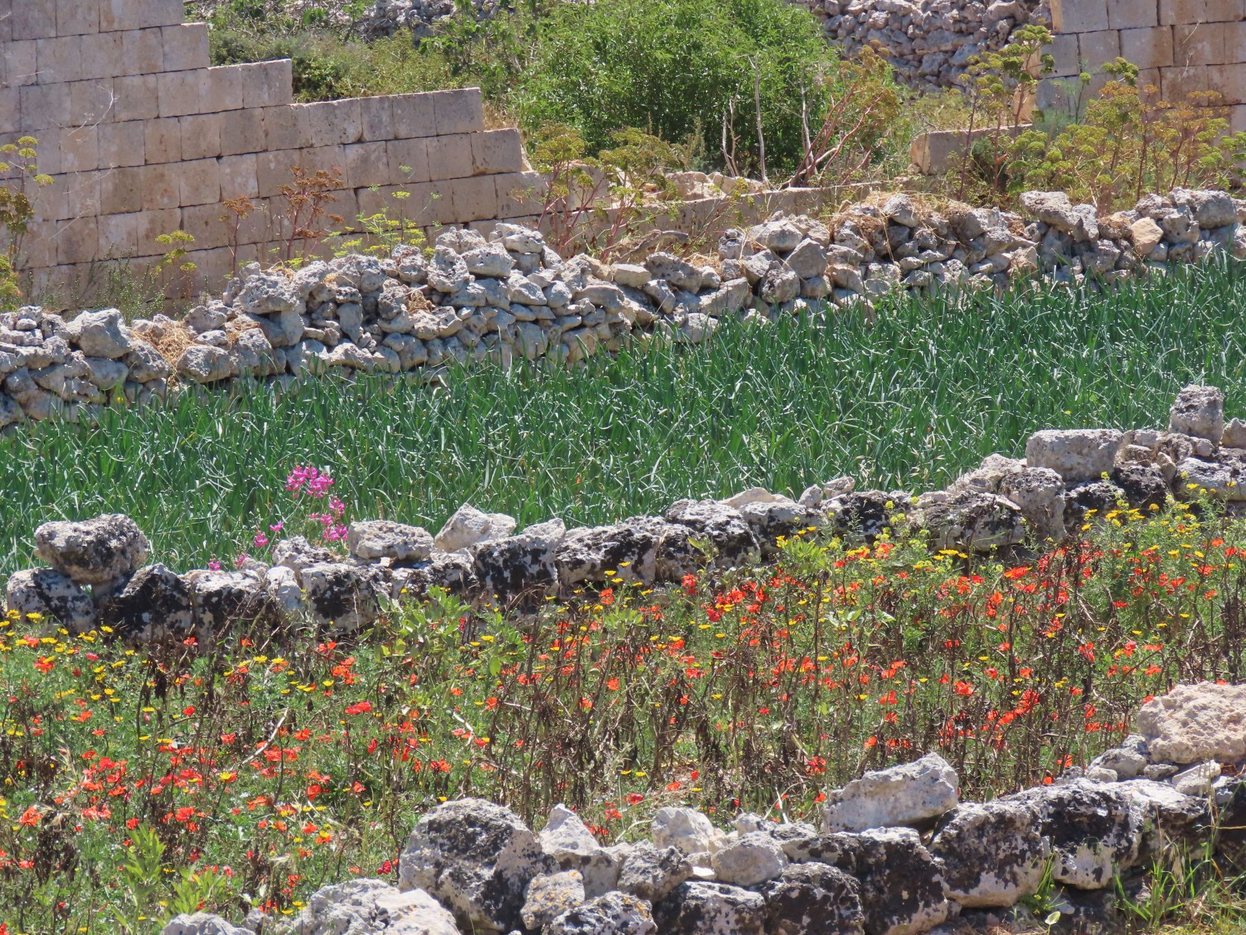
The trail took us past some farms and a large quarry and brickworks before we arrived at Clapham Junction. The name comes from a series of prominent parallel grooves in the rock, that appear to be cart tracks made centuries ago. When they were formed is uncertain, as is just how they were made, although according to Wikipedia:
Research published in 2008 describes them as caused by wooden-wheeled carts eroding soft limestone. An analysis was made of the stresses that would have been caused by a cart which would fit the ruts. Professor Mottershead of Portsmouth University said “The underlying rock in Malta is weak and when it’s wet it loses about 80 percent of its strength. The carts would have first made tracks in the soil but when that eroded, the cartwheels ran directly on the bedrock, making it easier for other carts to follow the same tracks.”

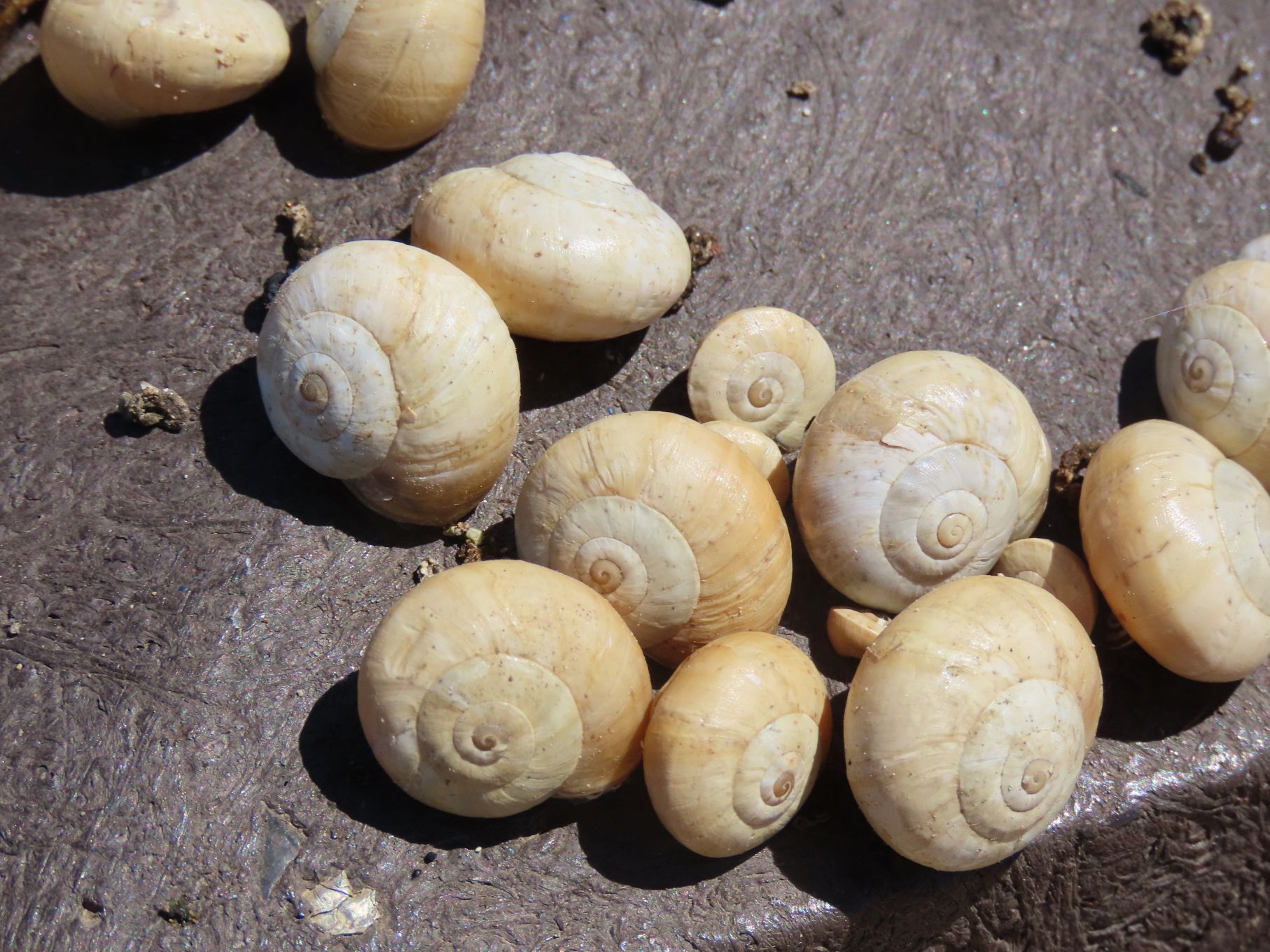
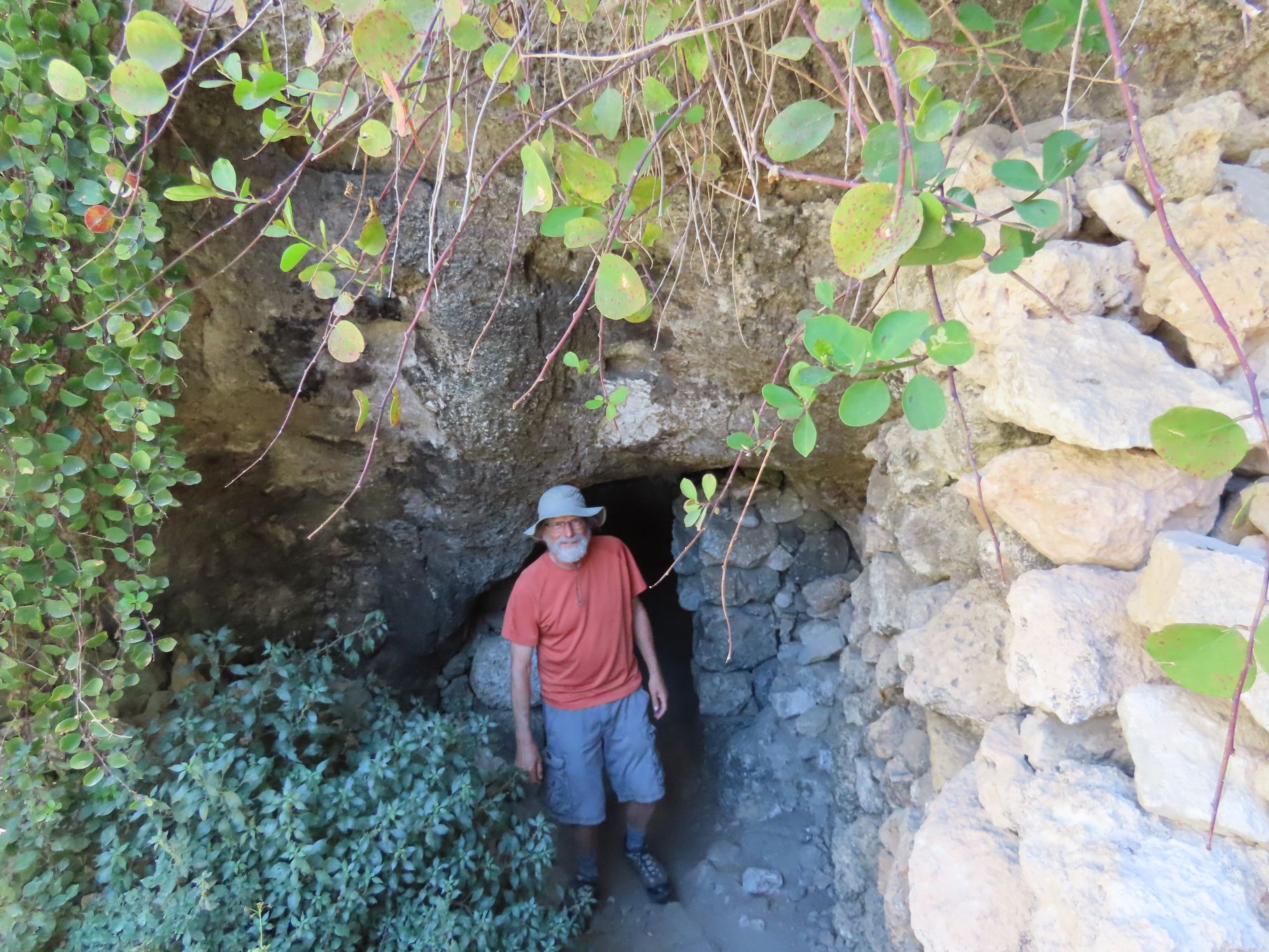
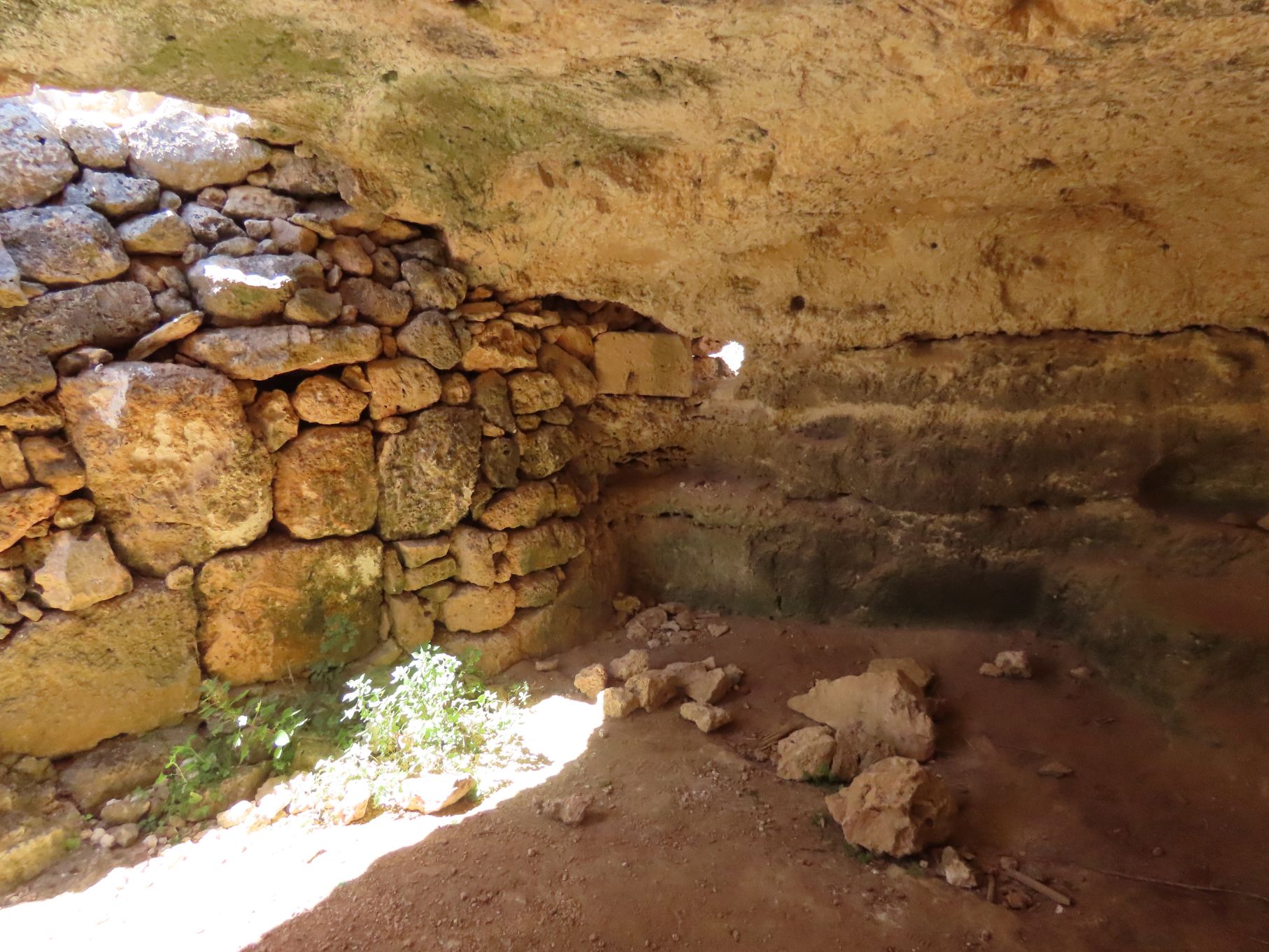
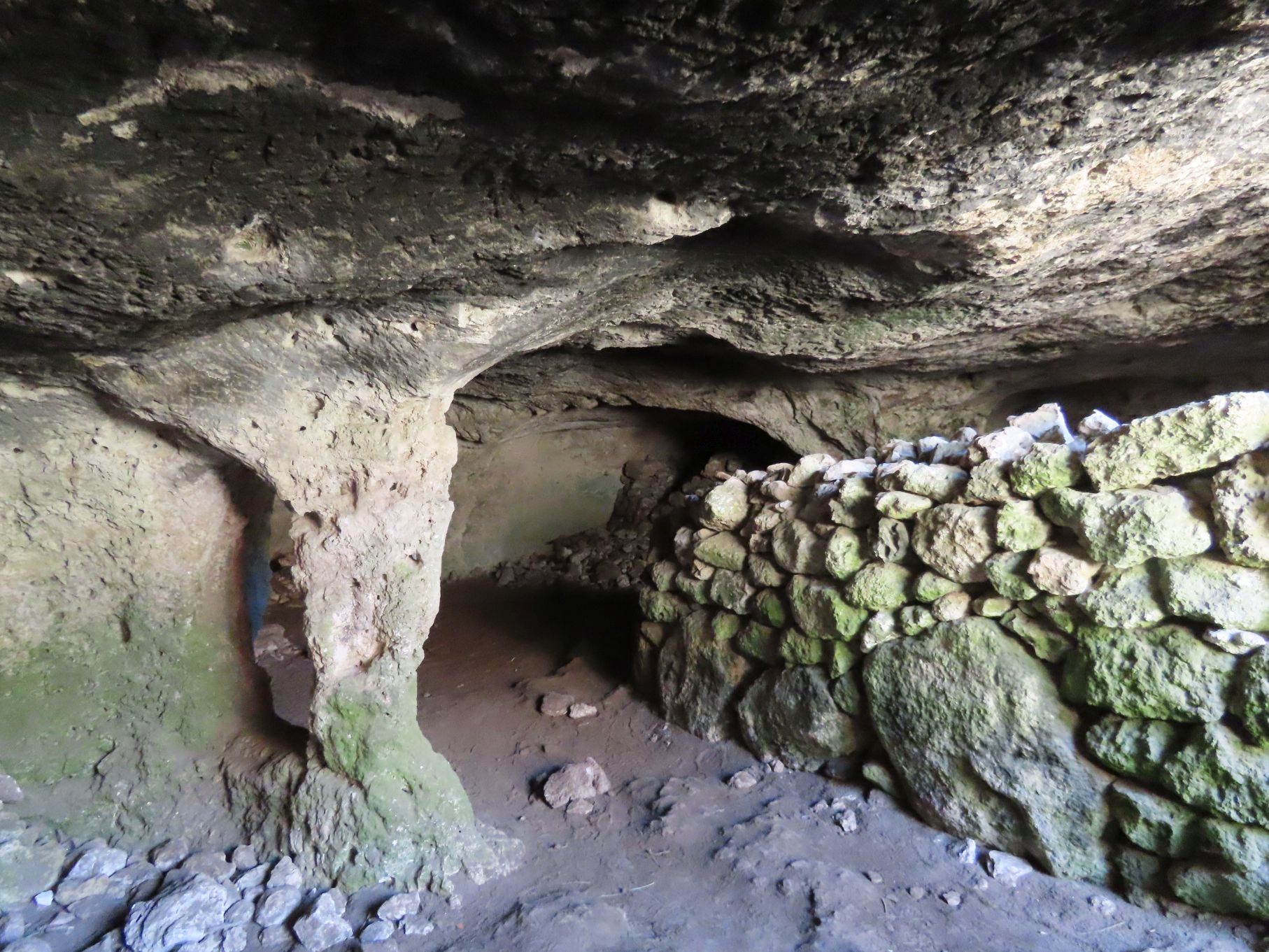
Nearby was a large depression in which there was a complex of caves called Ghar il Kbir. The caves date back to prehistoric times but were apparently occupied until the early 1800s. We spent a bit of time exploring the caves. Some had several rooms, while others had rock walls that had been constructed by the occupants.


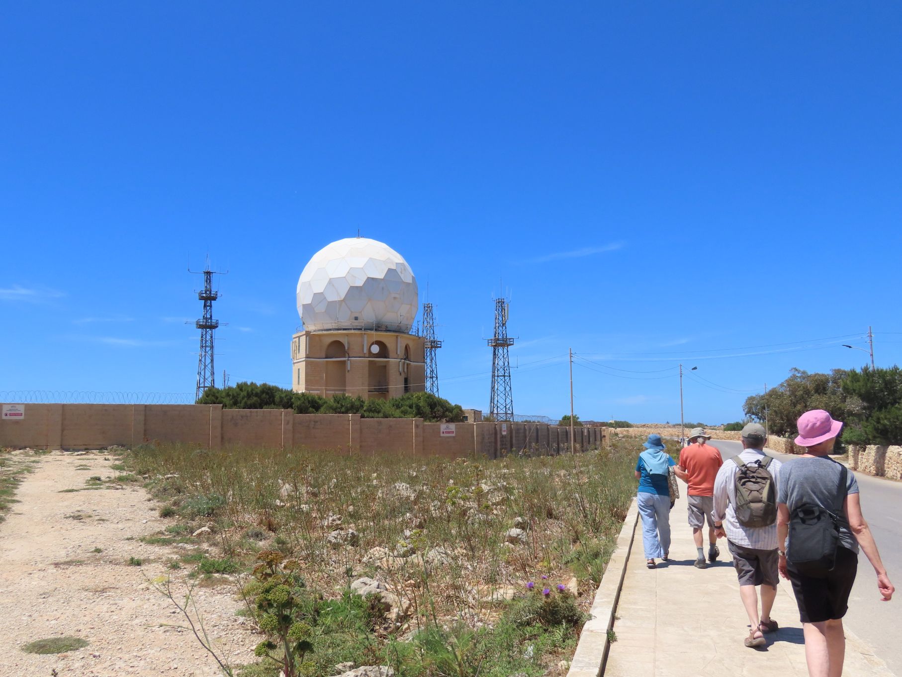
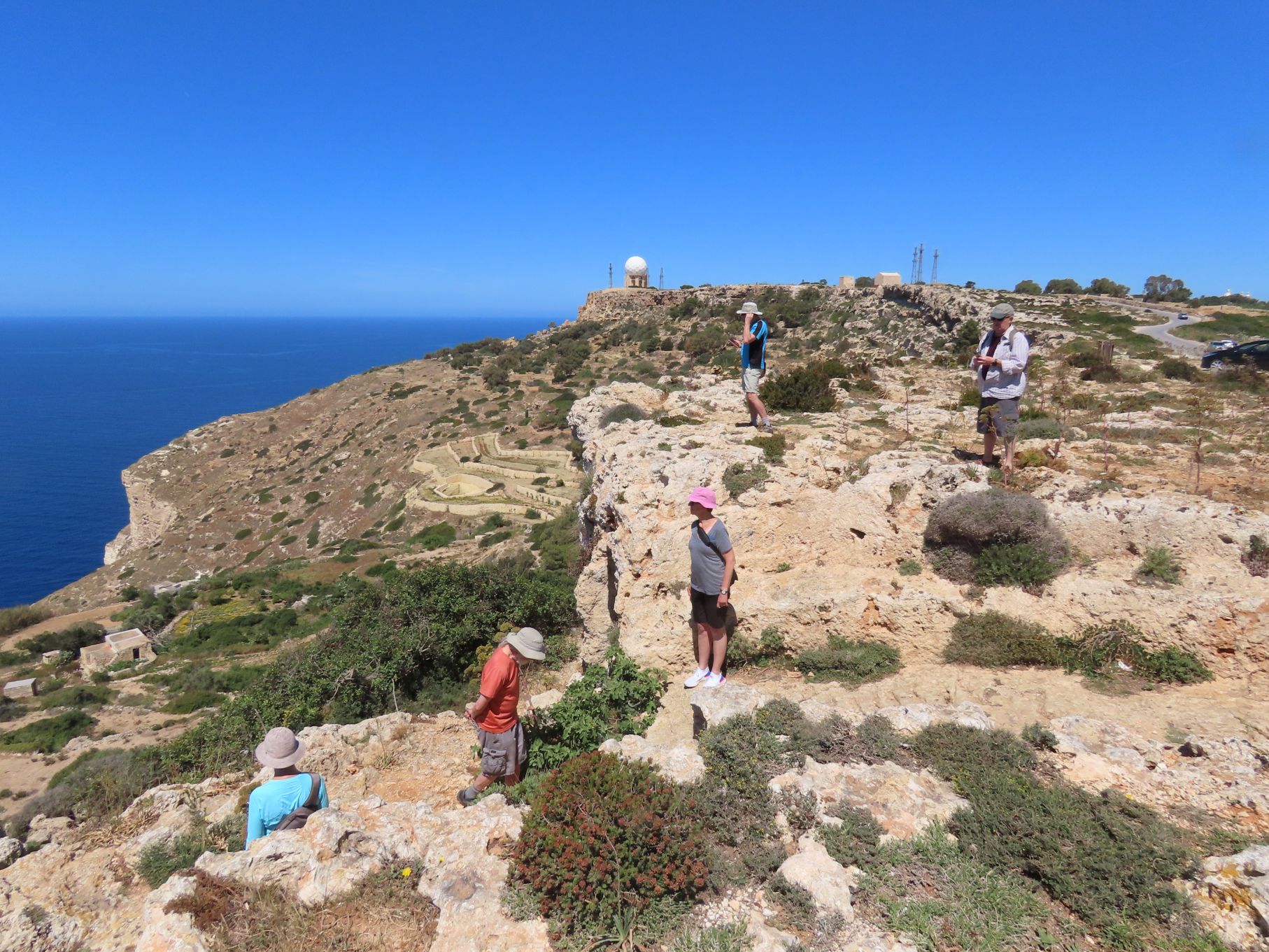
After visiting the caves, we found some more of the cart tracks and then continued a short distance before retracing our steps back to our starting point. We walked up the road, past a large radar dome, to a cliffside restaurant where we enjoyed afters.