
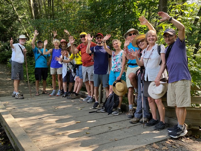
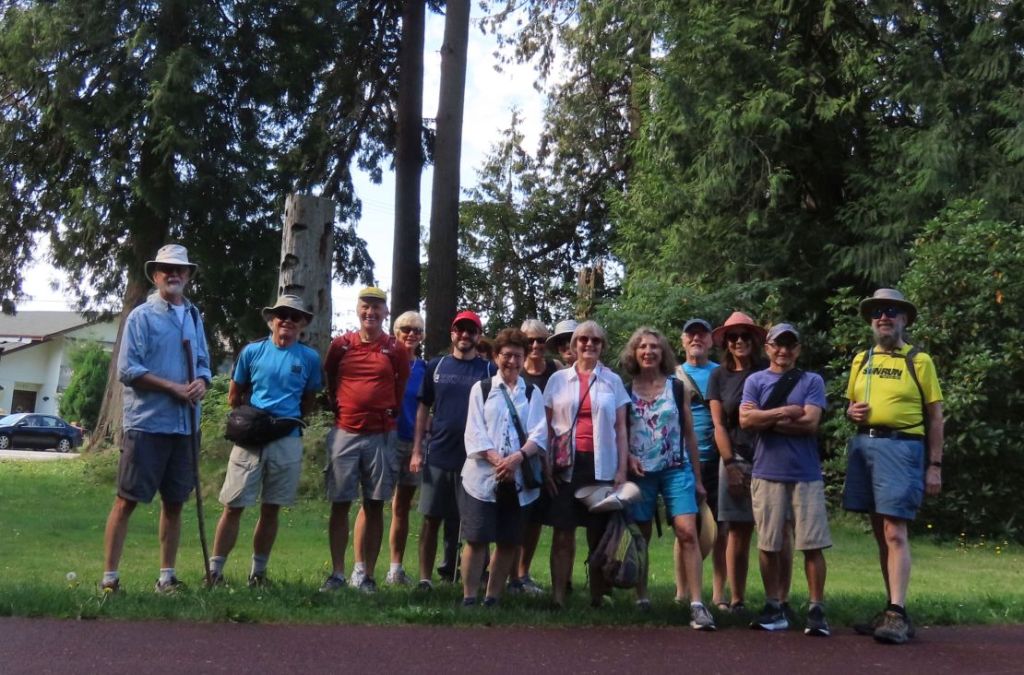
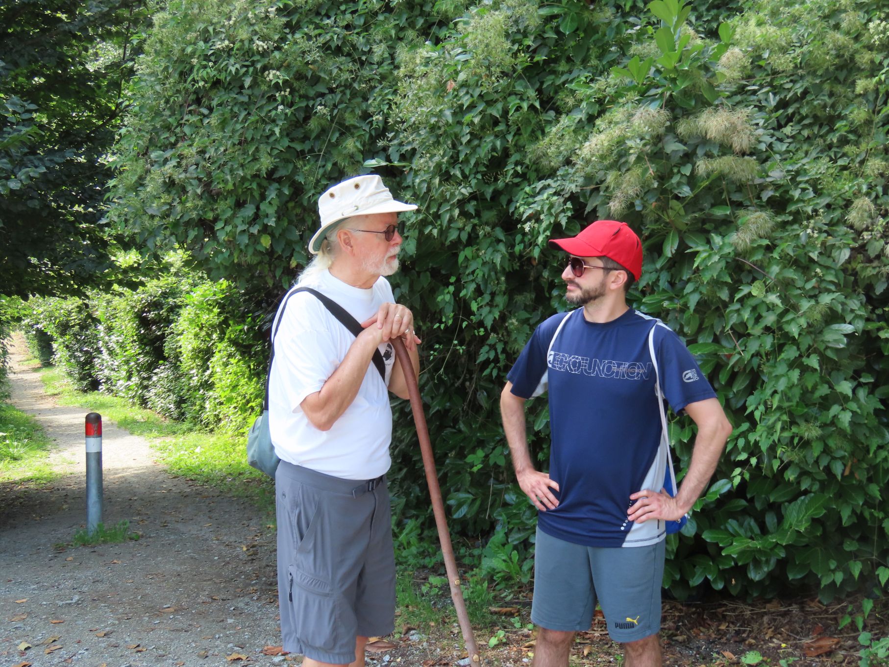
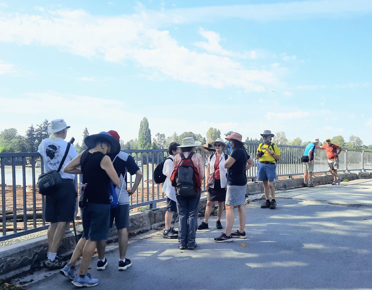
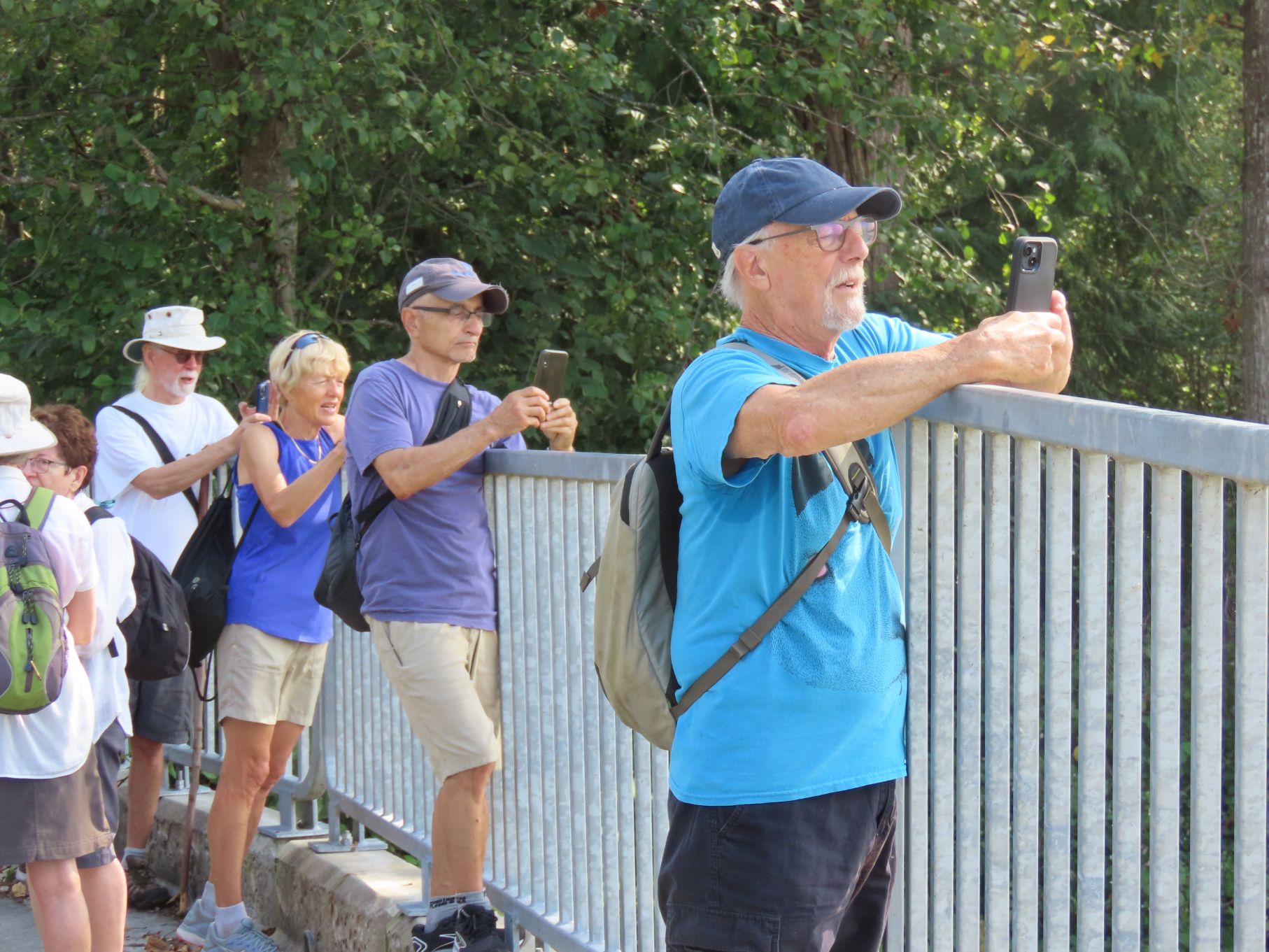
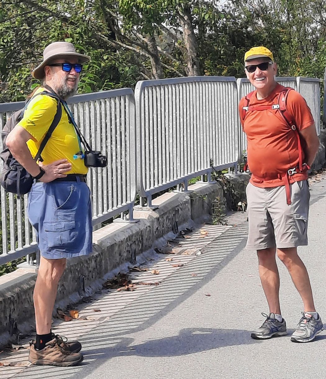
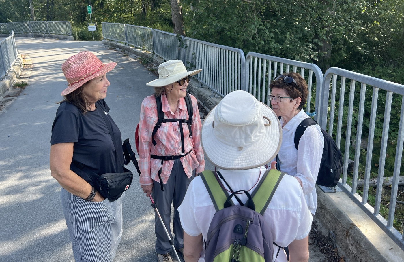
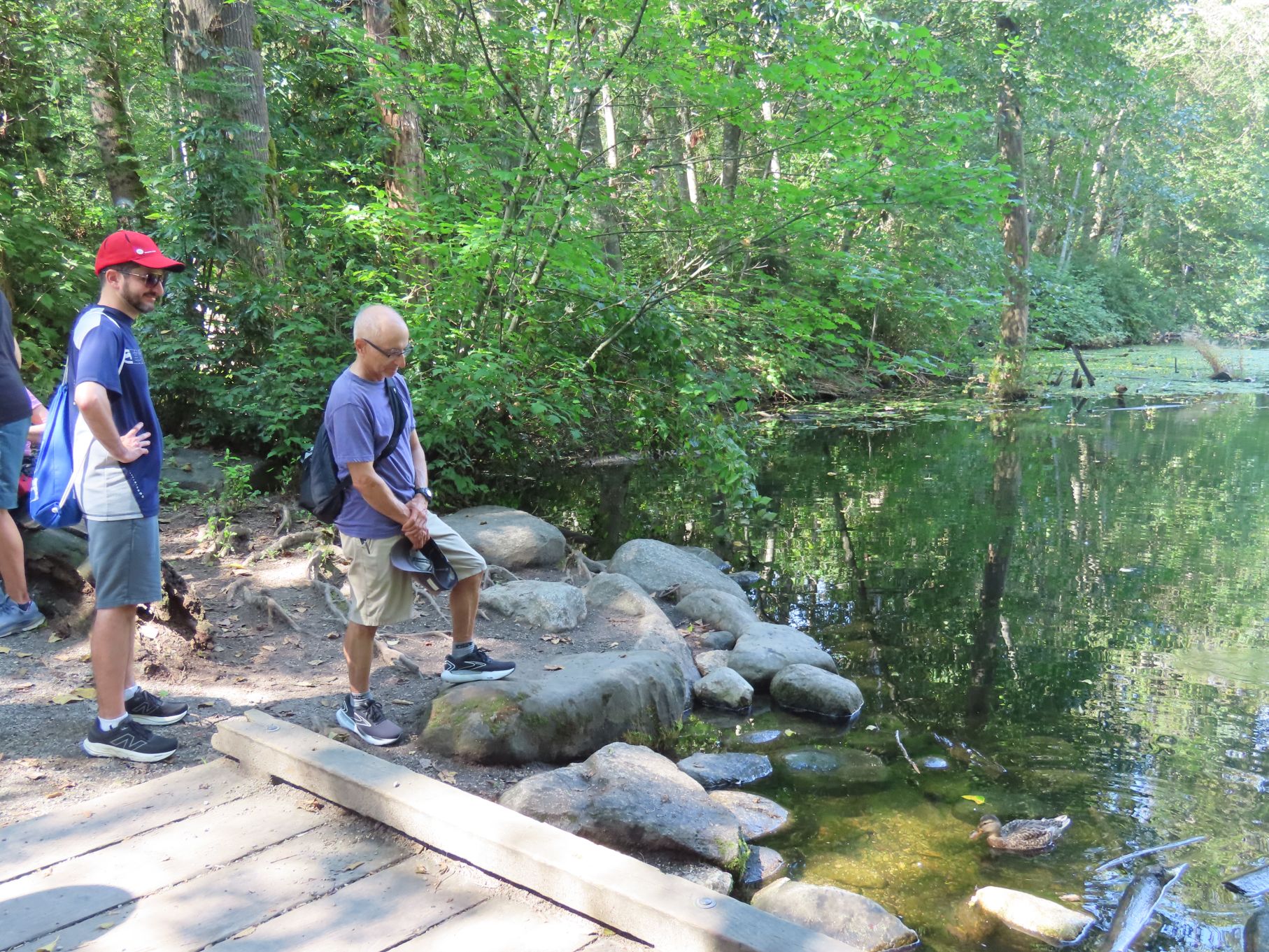
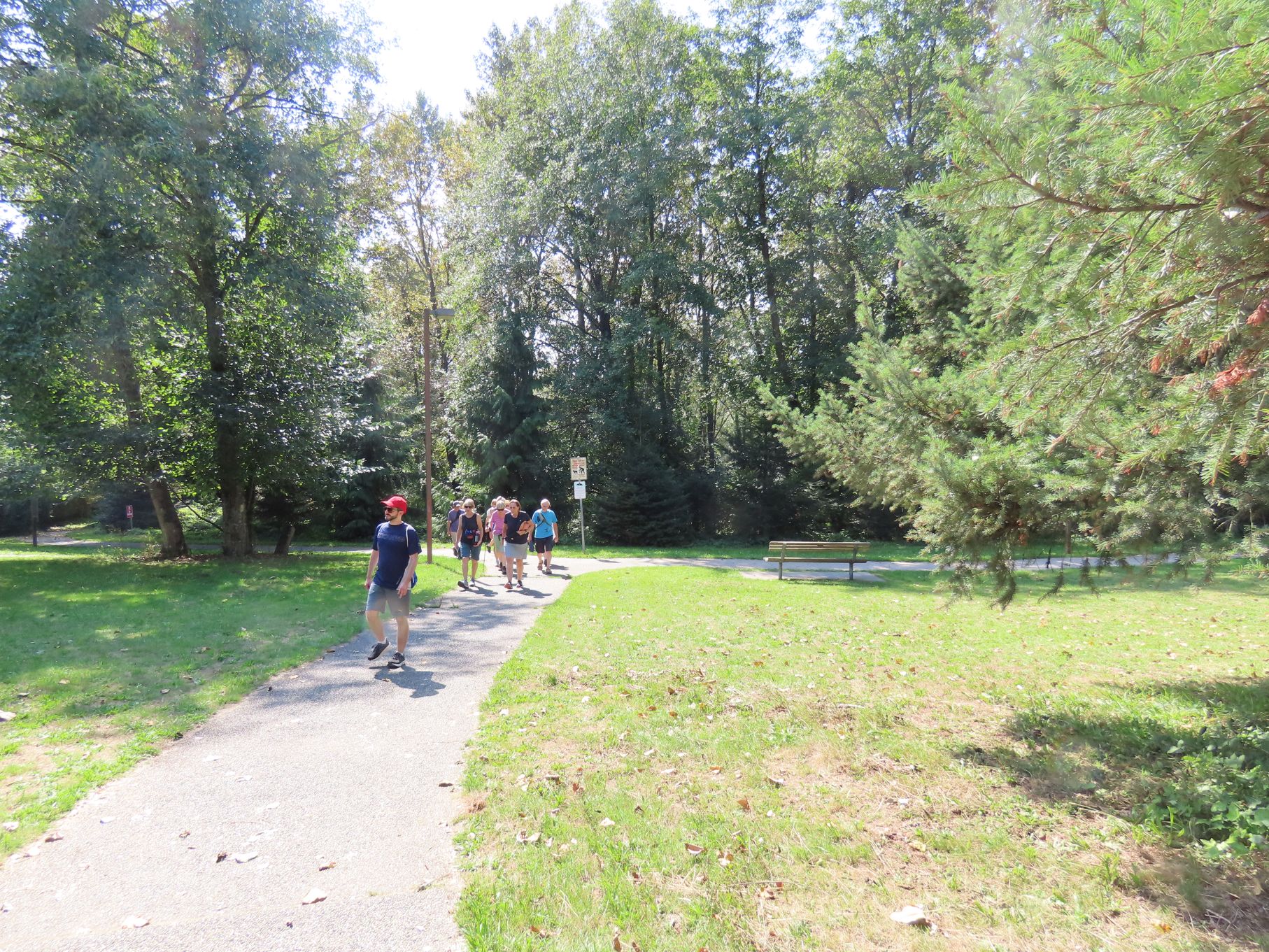
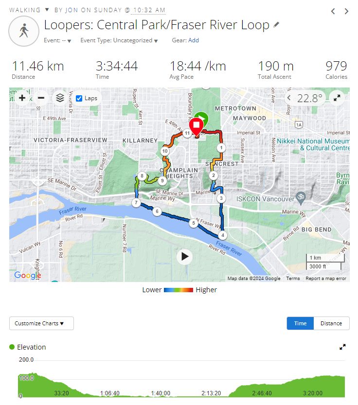
15 Loopers gathered, under sunny skies, at the southwest corner of Central Park in Burnaby for this month’s walk. Gordon, our fearless leader, soon had us organized and on our way. We proceeded east along the Central Park Perimeter Trail, proudly claimed by the City of Burnaby to be “the most comfortable trail in Metro Vancouver”. With its rubberized surface it was certainly pleasant to walk on.
Our route took us down the eastern edge of Ocean View Cemetery. Unlike other local cemeteries owned by the municipalities, Ocean View is a for-profit organization. For a starting price of just under $300,000 you can purchase yourself a “Custom Estate”, although you should probably act quickly as they are running out of space.
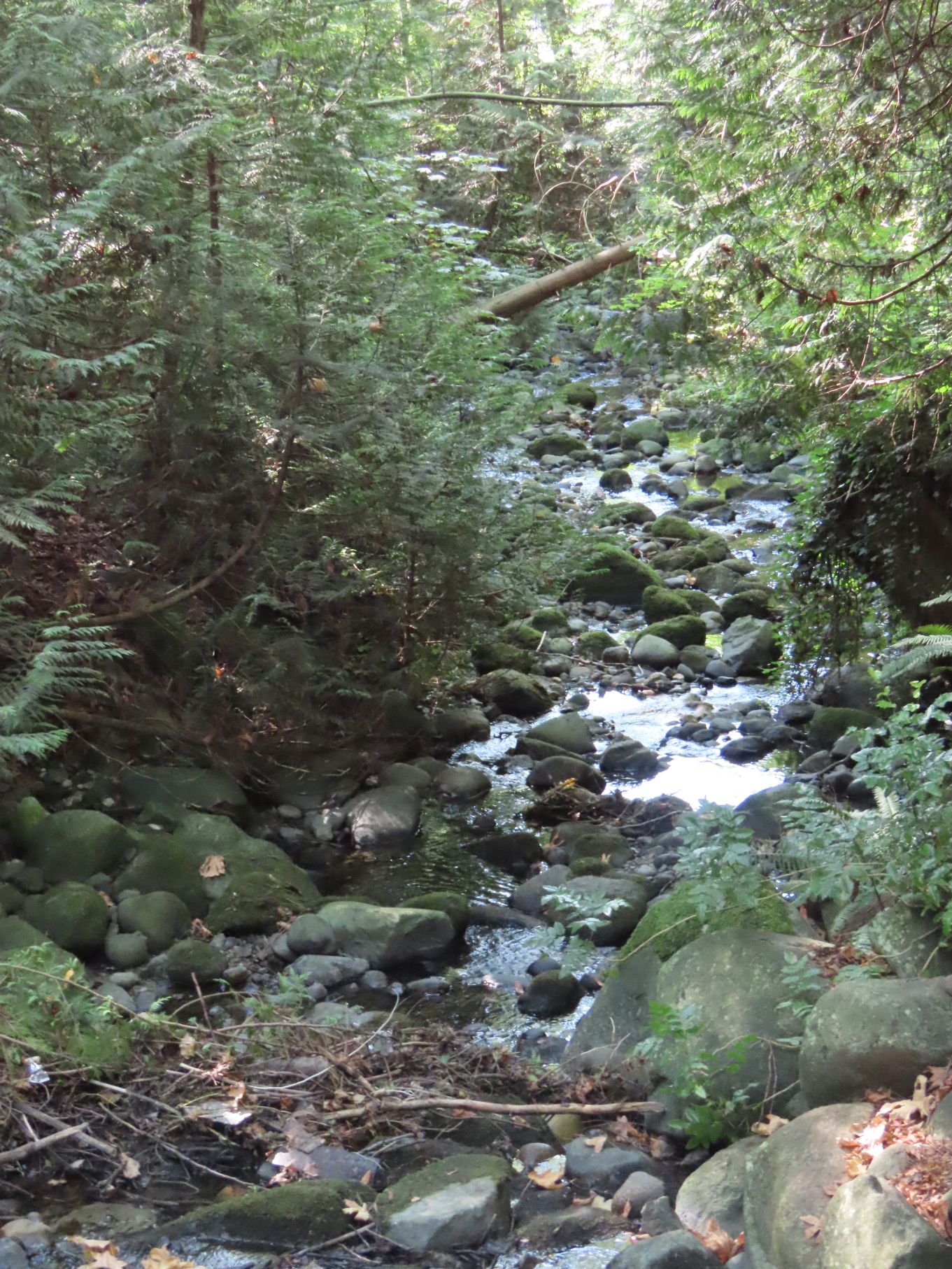
South of the cemetery we crossed Rumble Street and descended to Kaymar Creek Ravine Park. From The Waterways of Burnaby:
Named after Kaymar Drive this name replaced the name of Dump Creek used in the 1930s which referred to the garbage dump that filled the ravine above Rumble Street.”
The upper portion of the creek has been tamed by lining it with smooth rocks, which provide a soothing sound as one walks down the trail beside it. The bottom section has been left in its wild state.


After crossing old Marine Drive our path continued down a trail next to Glen Lyon Creek, another of the many creeks of Burnaby. Again from The Waterways document:
Named after the beautiful Glen-Lyon estate and mansion built by Duncan Campbell MacGregor in 1902 which is preserved as a designated heritage building beside this waterway.
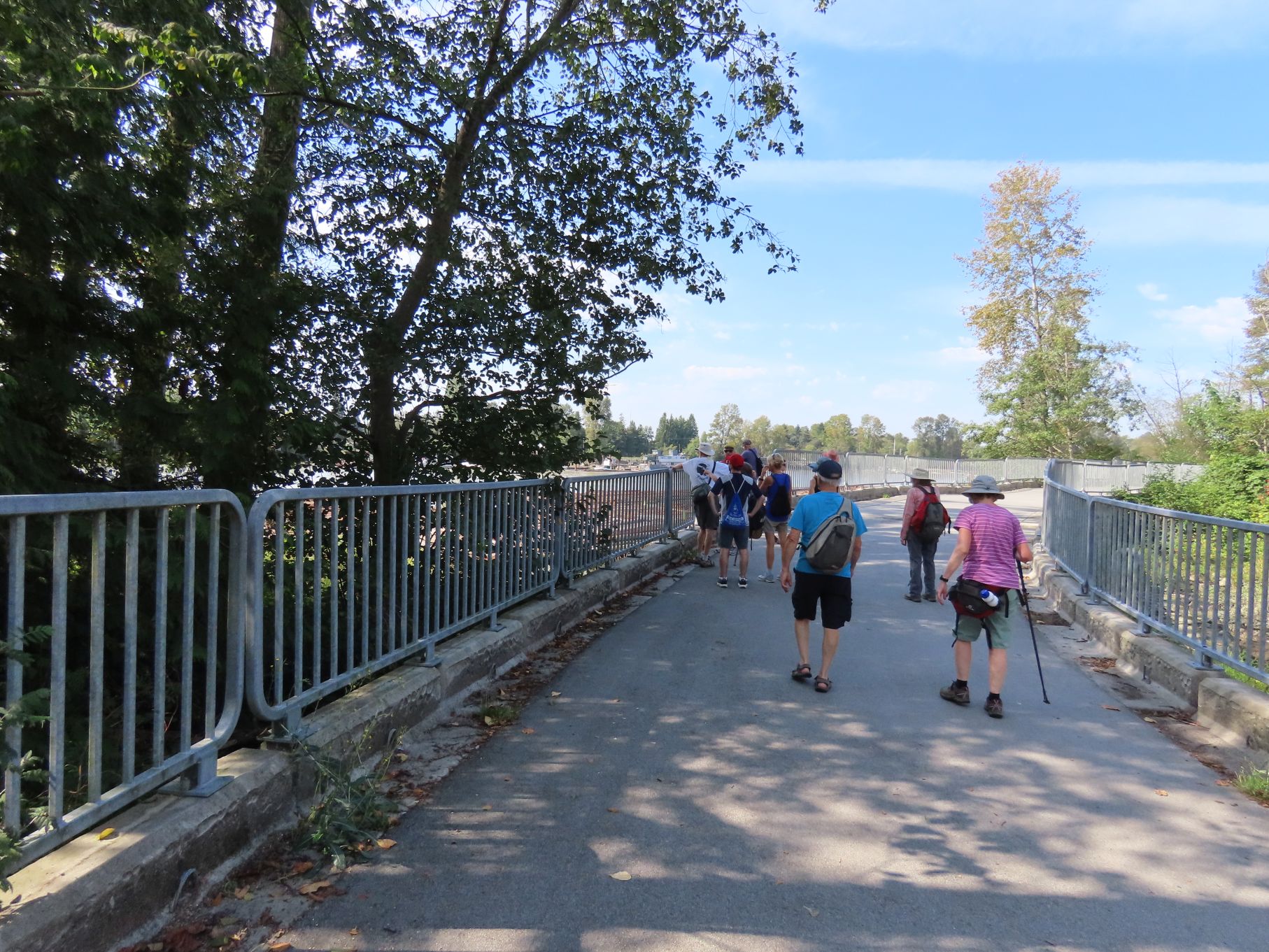
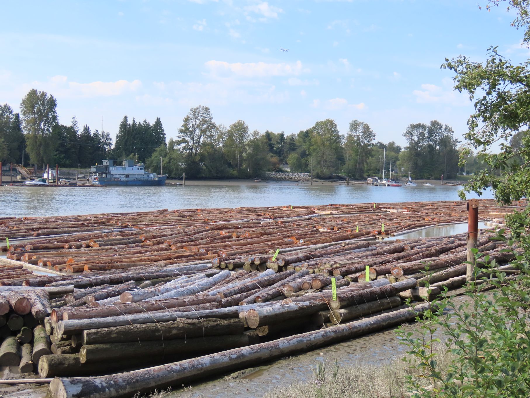
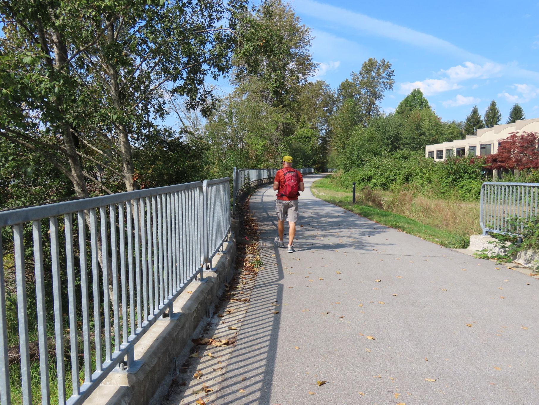
This trail was much flatter than the previous one, with the creek largely invisible most of the way. The trail crossed Marine Way via an overpass and continued down to the bank of the Fraser River.
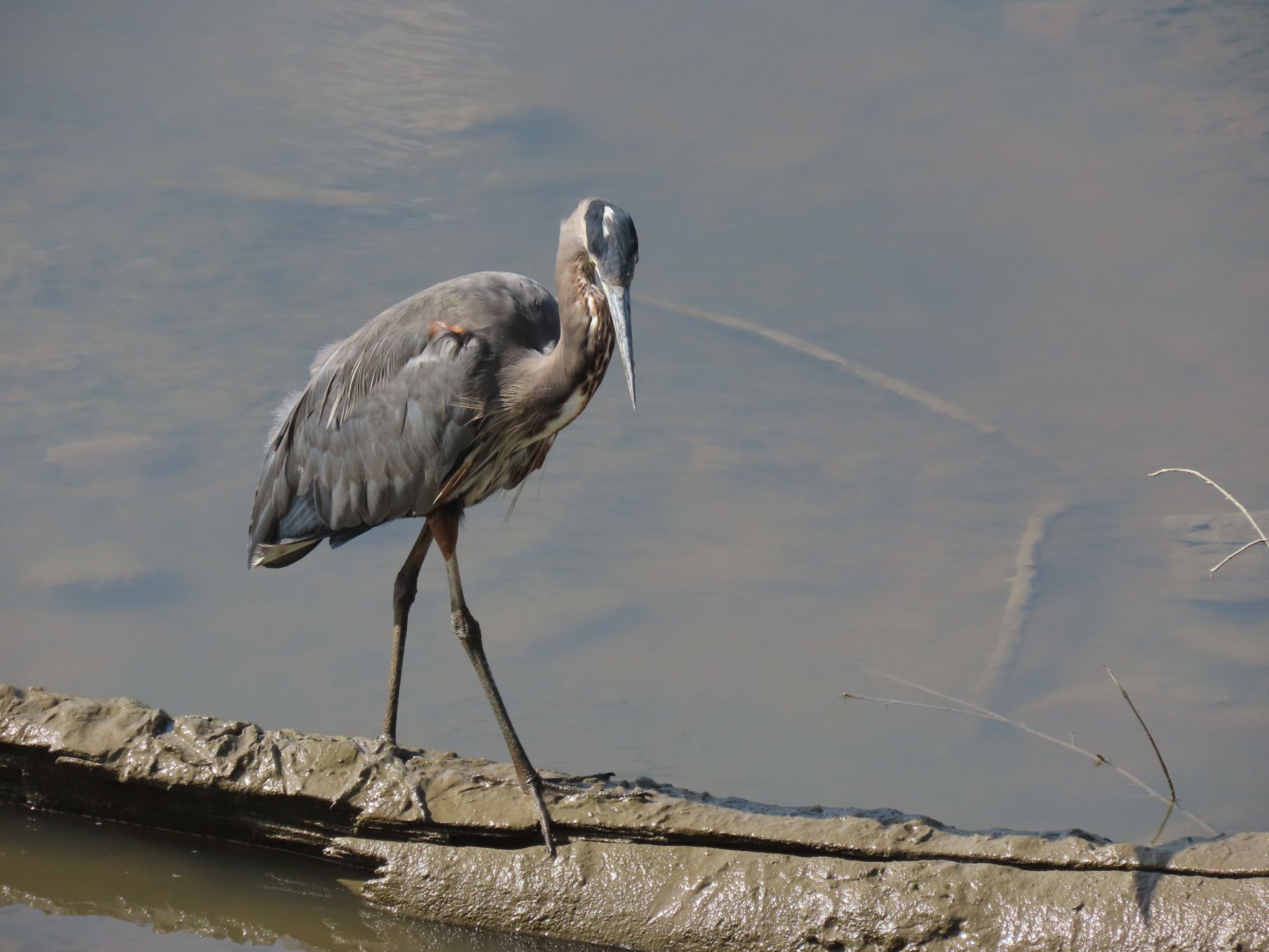
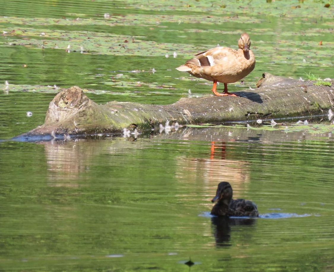
Upon reaching the river we paused to admire a photogenic heron before turning west and making our way to the Burnaby/Vancouver border (Boundary Road).


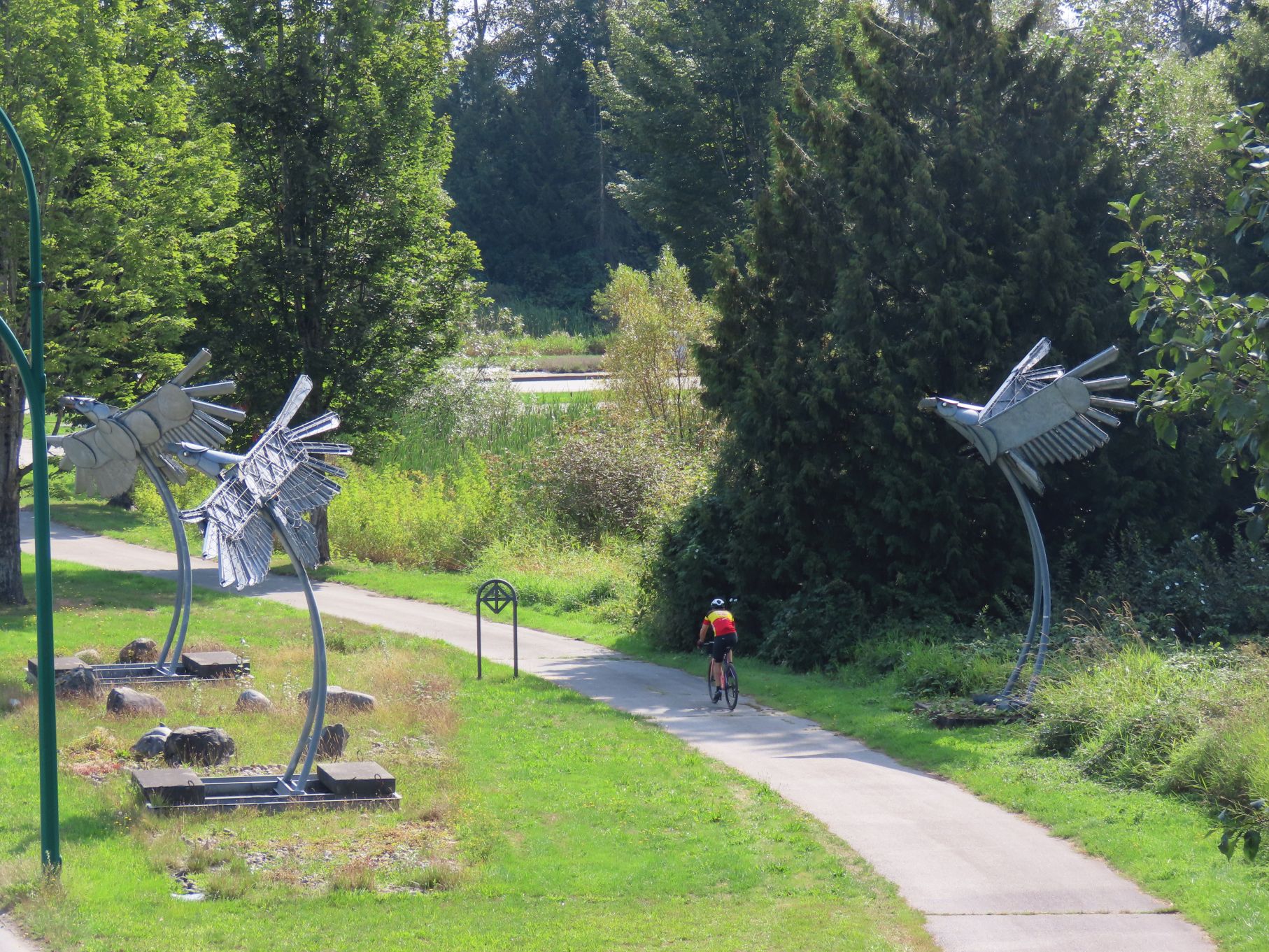
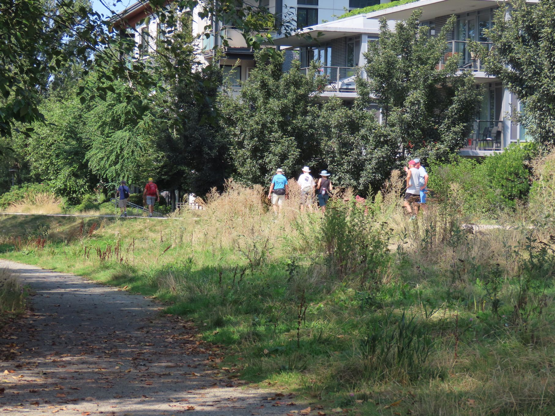
We continued west through what is now called River District in southwest Vancouver. Once the site of industrial lands and sawmills, it is now a rapidly changing urban area with a central business district featuring a number of high-rise buildings, and surrounding townhomes and condominiums. When fully built out it is expected that it will house some 15,000 people.
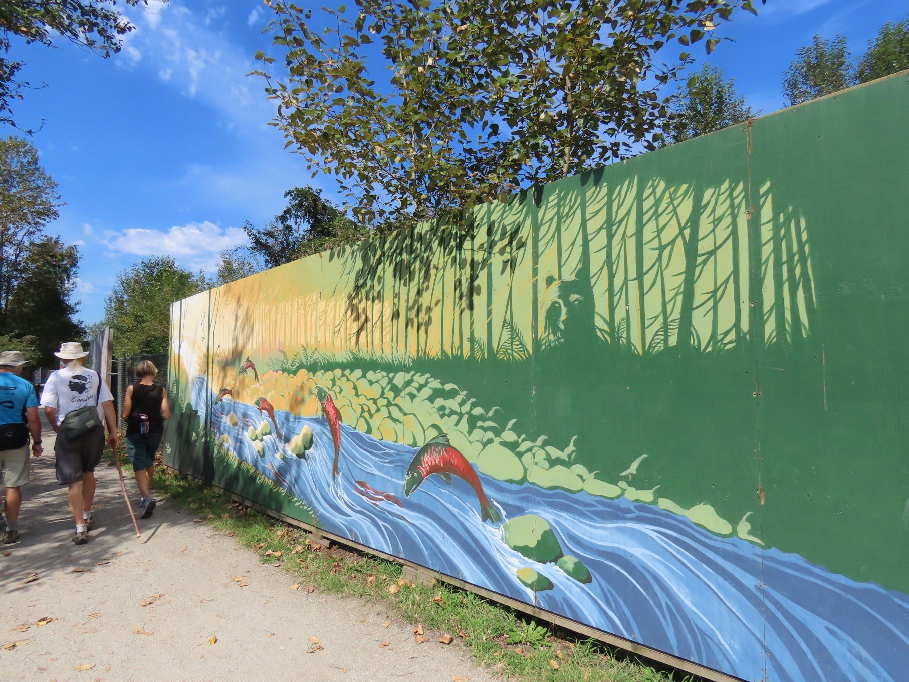
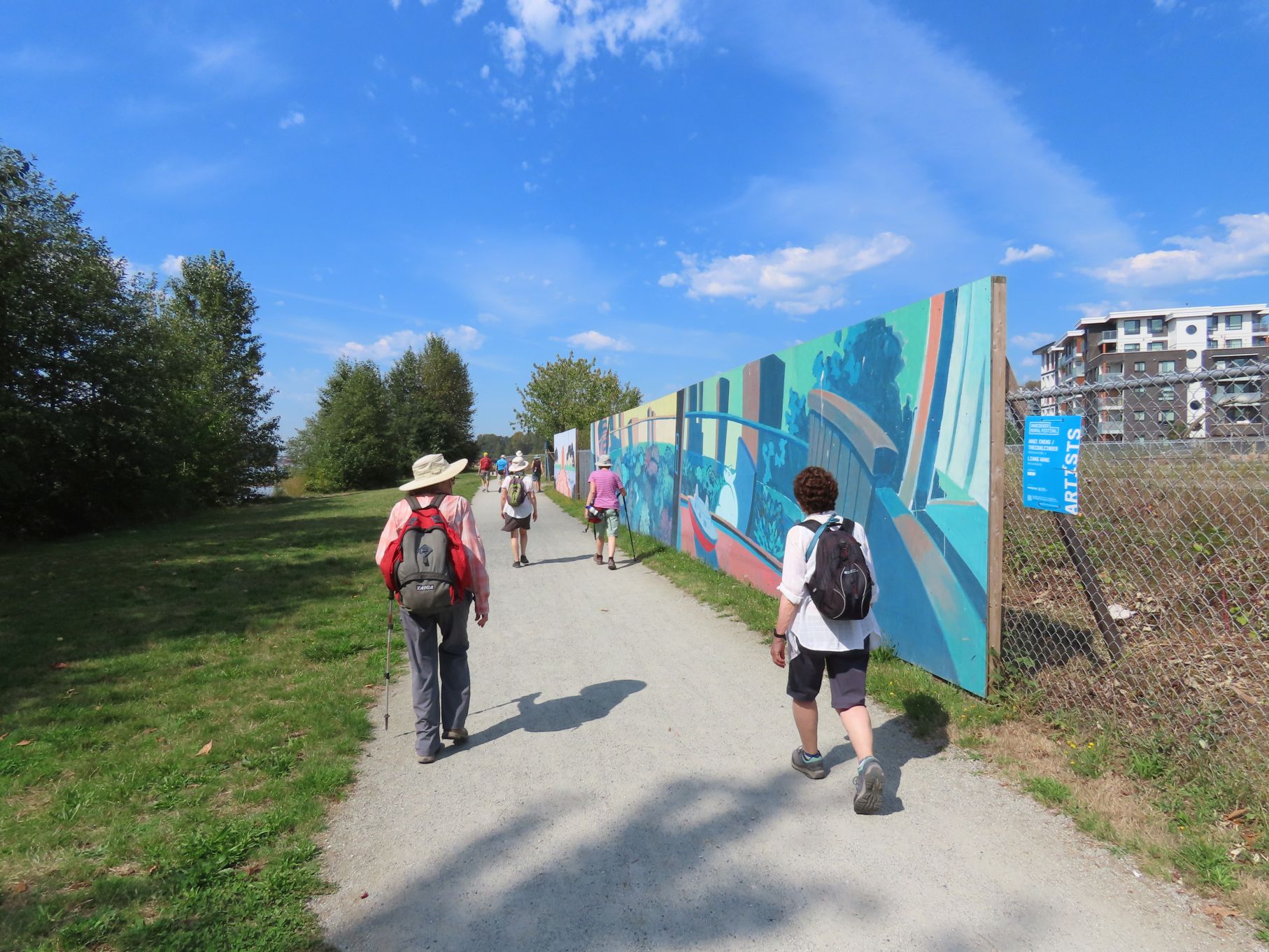

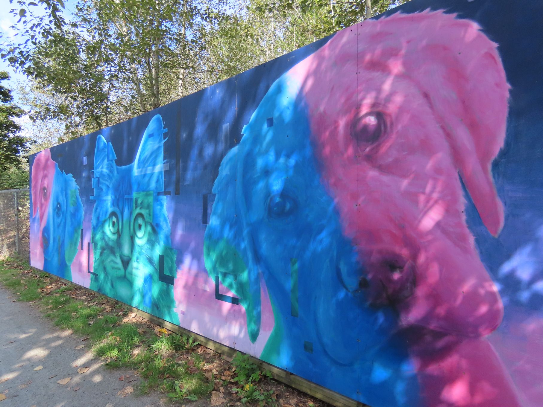
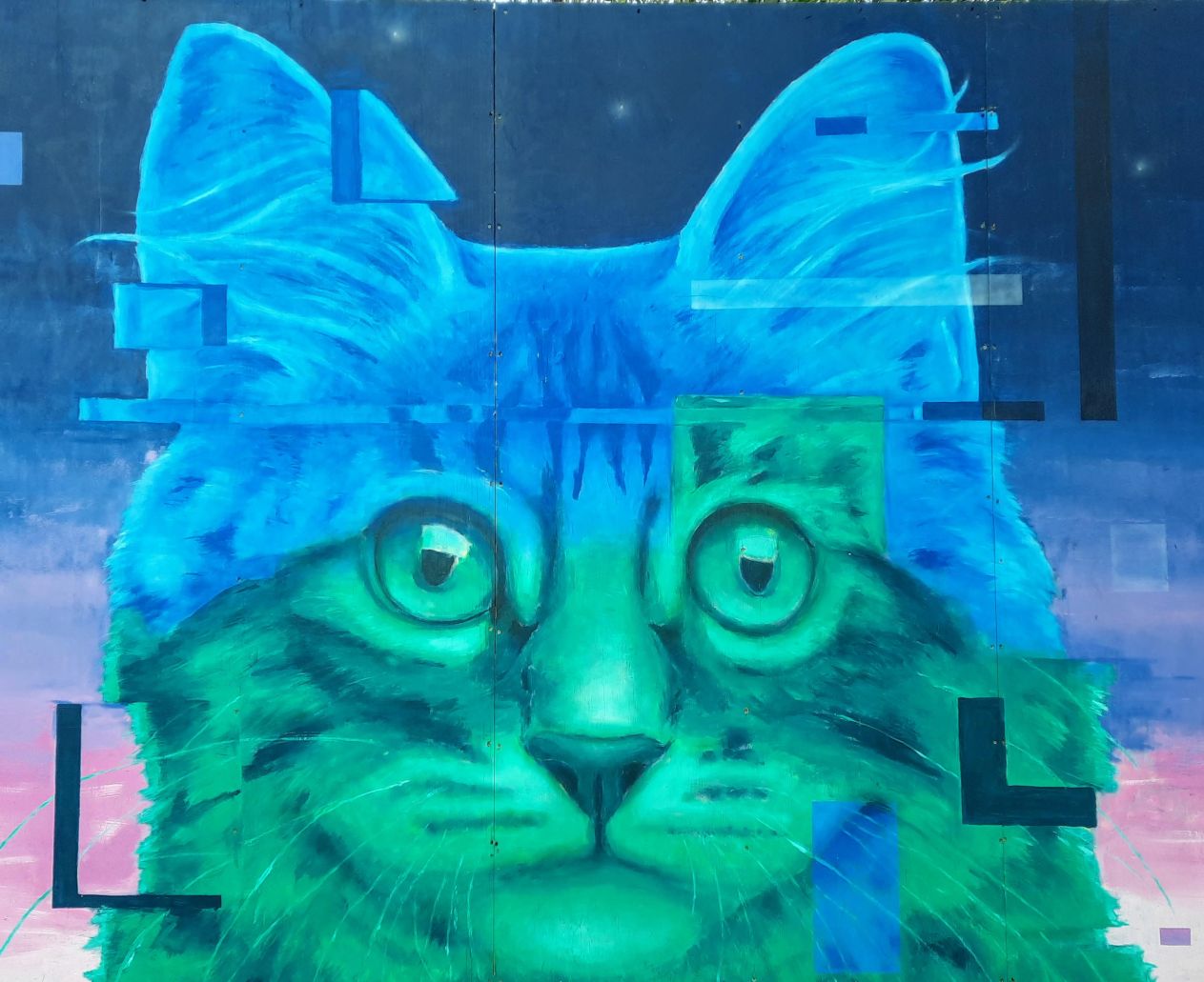
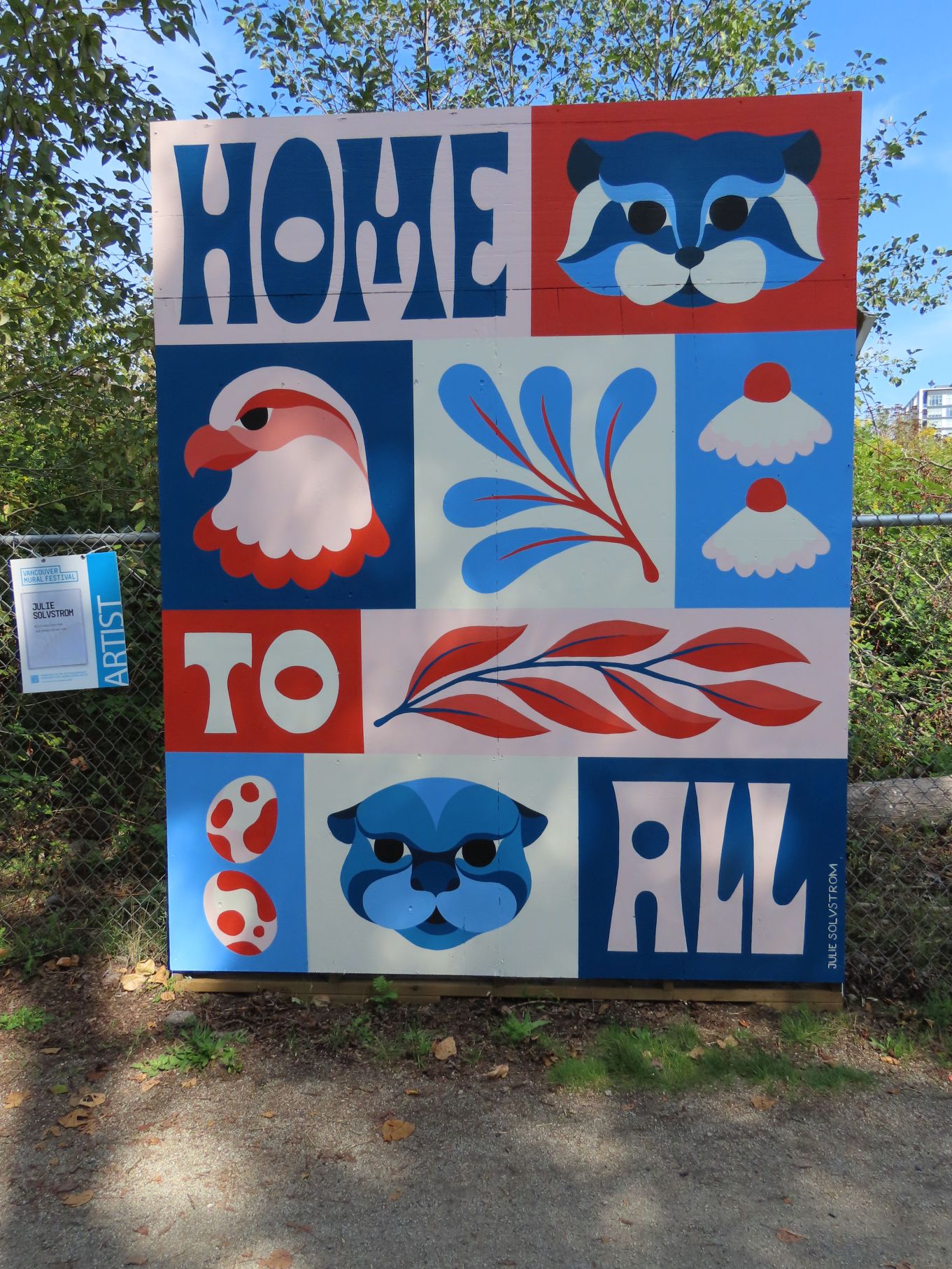
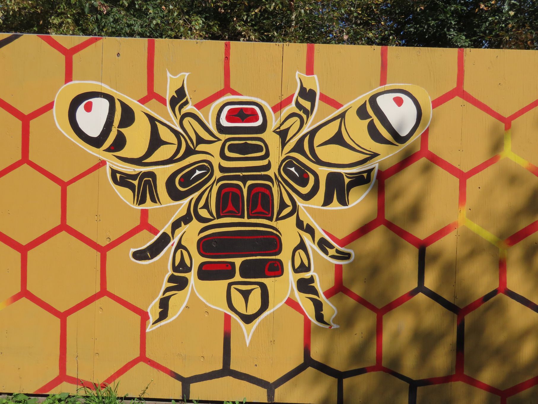
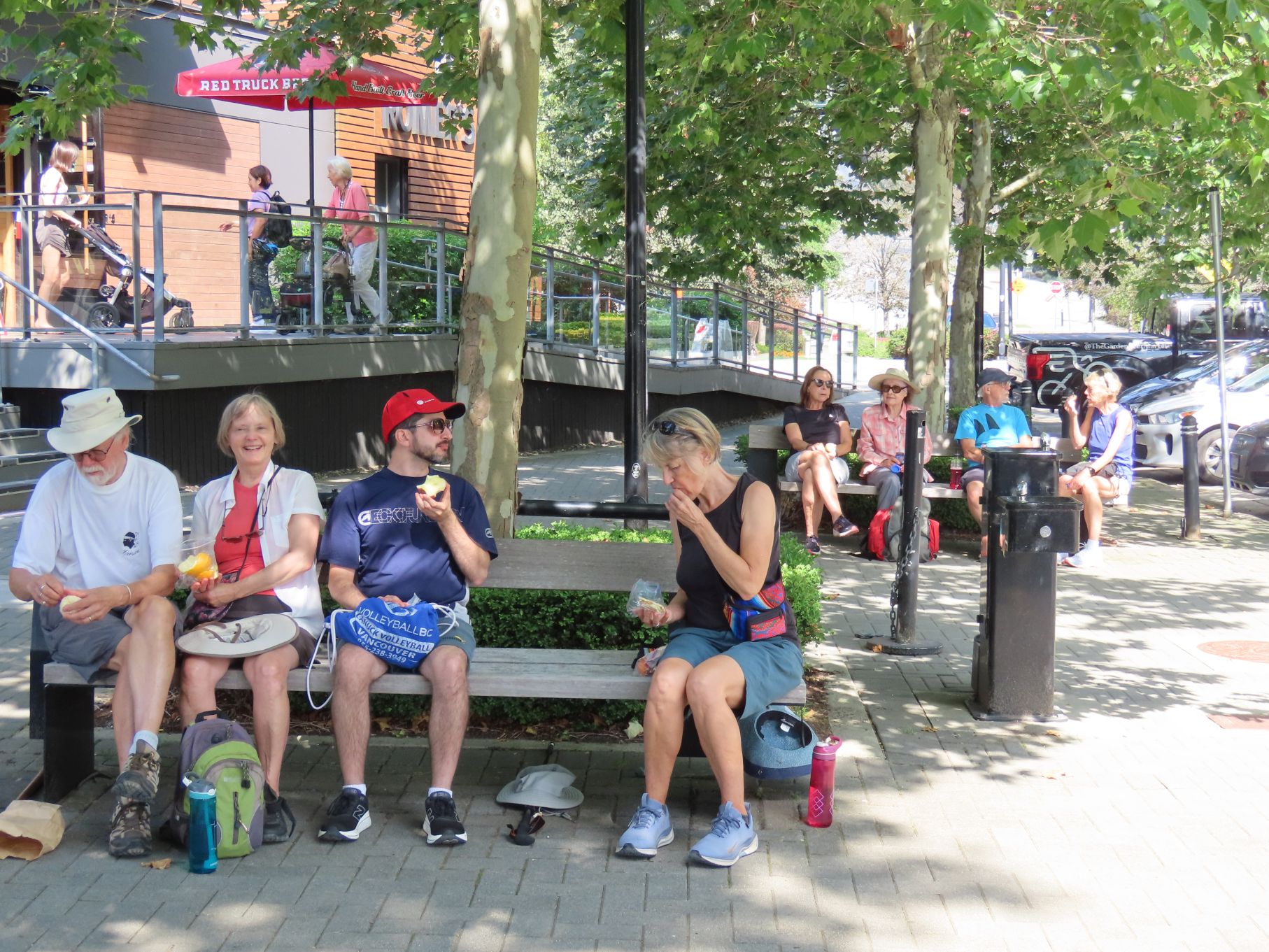
The path continued along the river, at one point passing a number of large murals, part of the Vancouver Mural Festival. When we reached the foot of Kerr Street, some shady benches provided a perfect spot for a snack break.
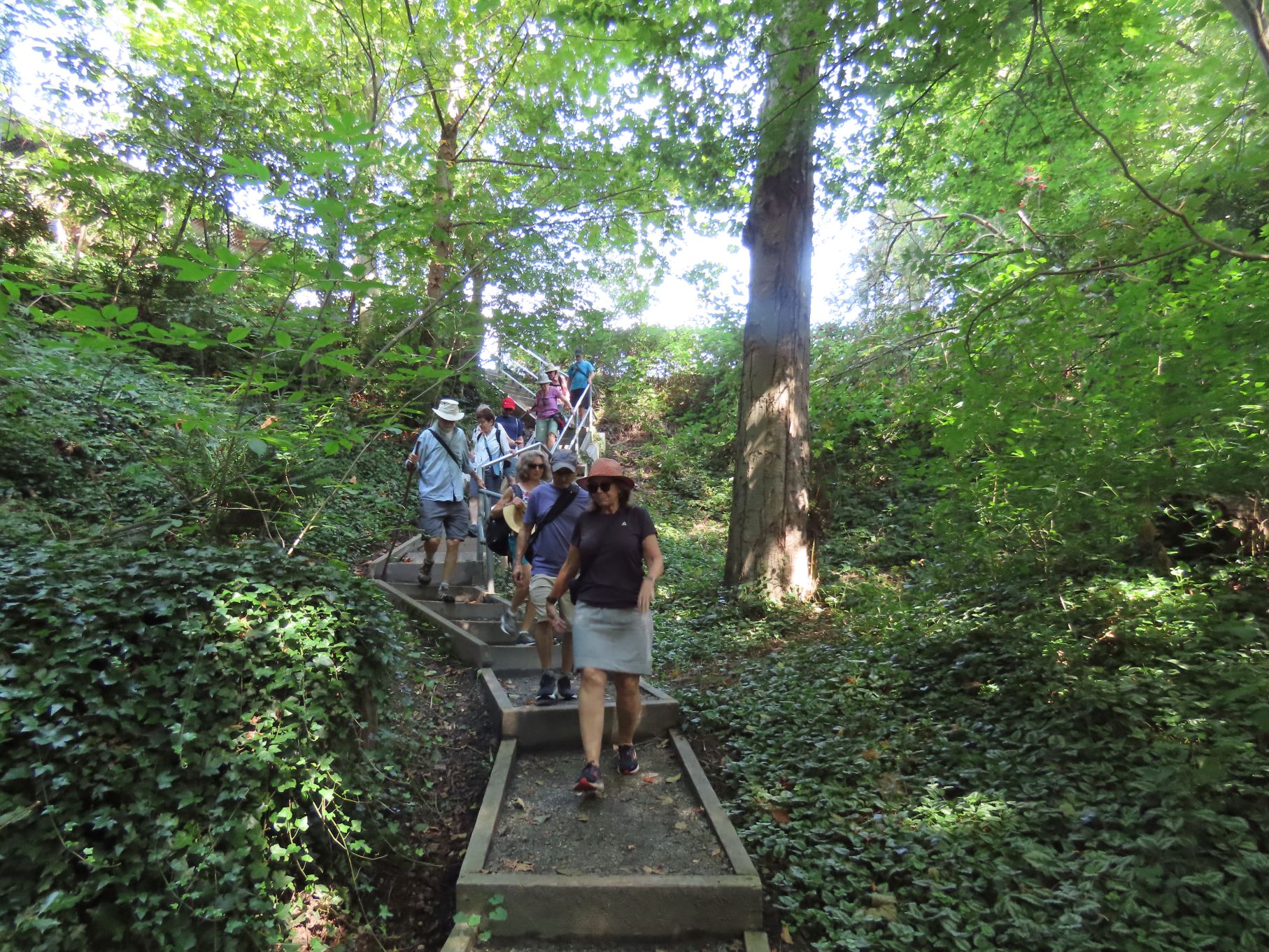
Refreshed, we tackled the steep, but mercifully short climb up to Marine Drive. From there we followed a trail up the east side of Fraserview Golf Course and then across into Everett Crowley Park. We made our way through the park, stopping along the way to enjoy Avalon Pond.
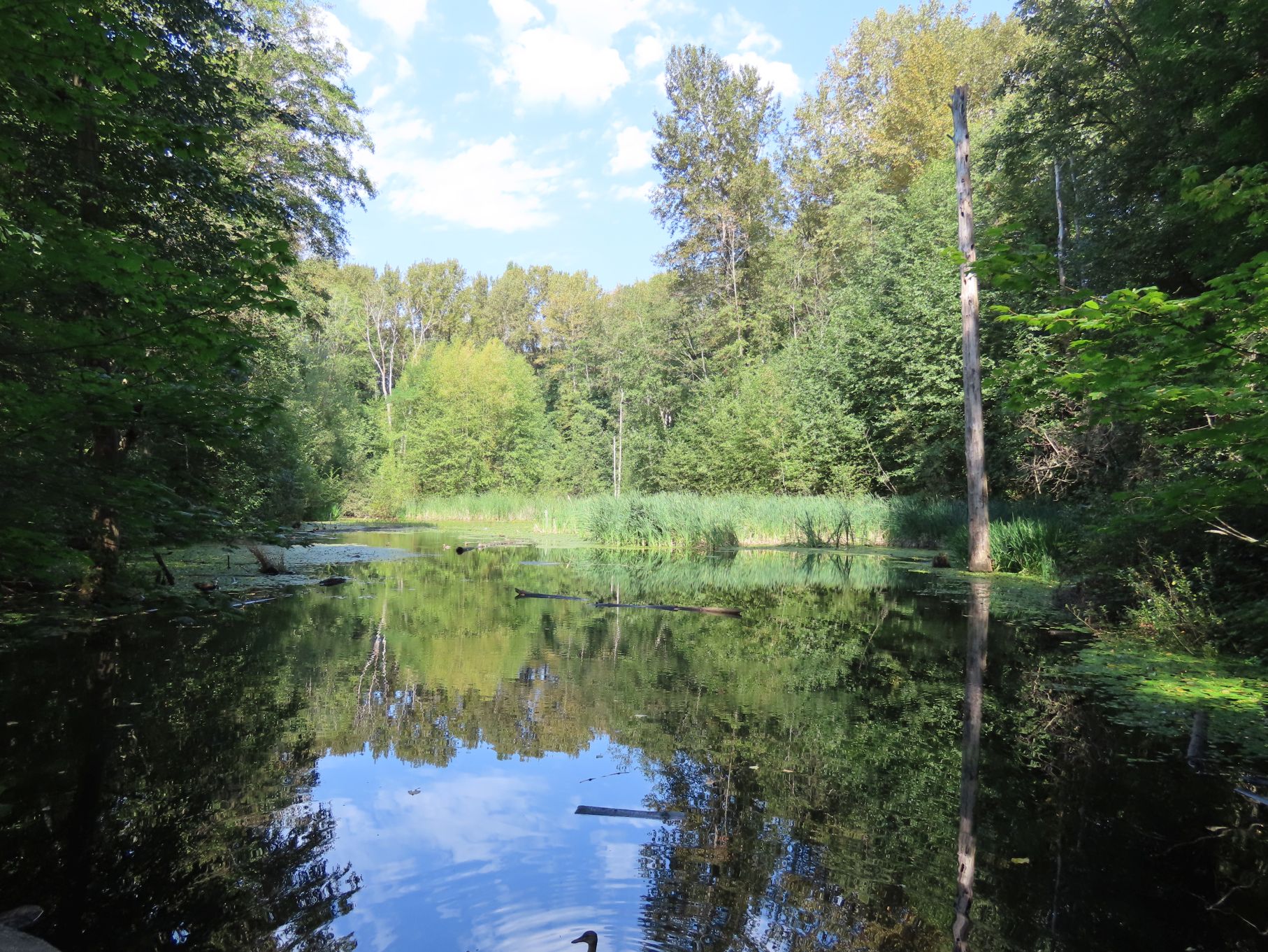


The pond is named after the Avalon Diary, which was located in the area and owned by Everett Crowley. He was also a Vancouver Parks Board Commissioner. Prior to being a park, the site was Vancouver’s main landfill until 1967. The area was then closed for 20 years, before becoming the current park in 1987.
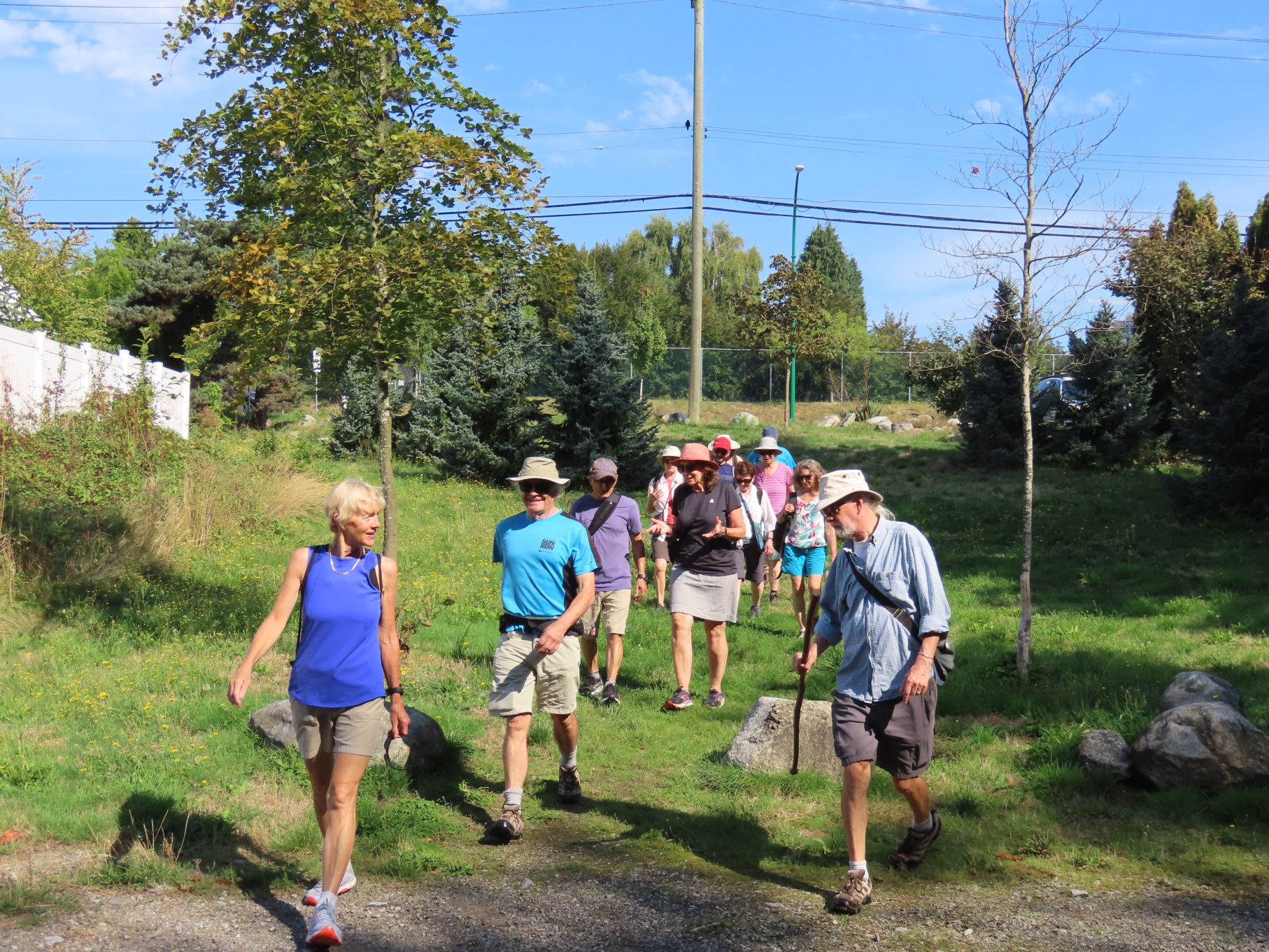
Upon leaving the park, we made our way via urban trails and streets through Champlain Heights to our starting point.
As has been the custom of late, we split into two groups for afters. The beer drinkers retired to Romer’s Burger Bar while the coffee crowd headed to Mon Paris Patisserie.
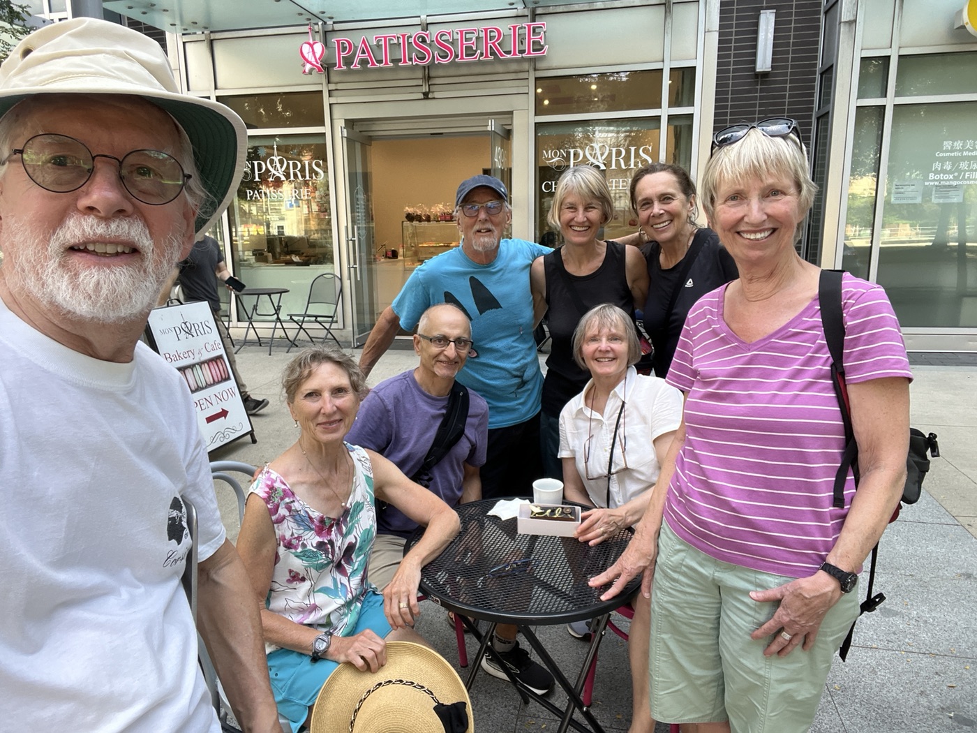
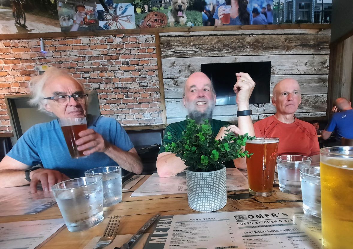
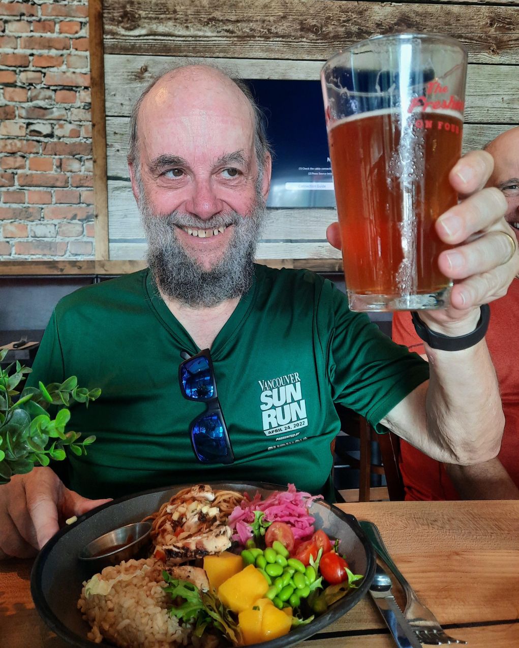
Thanks for the photos to: Jan, Adrianne, Michael, Jon
