

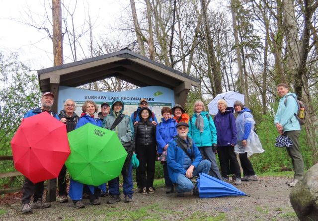
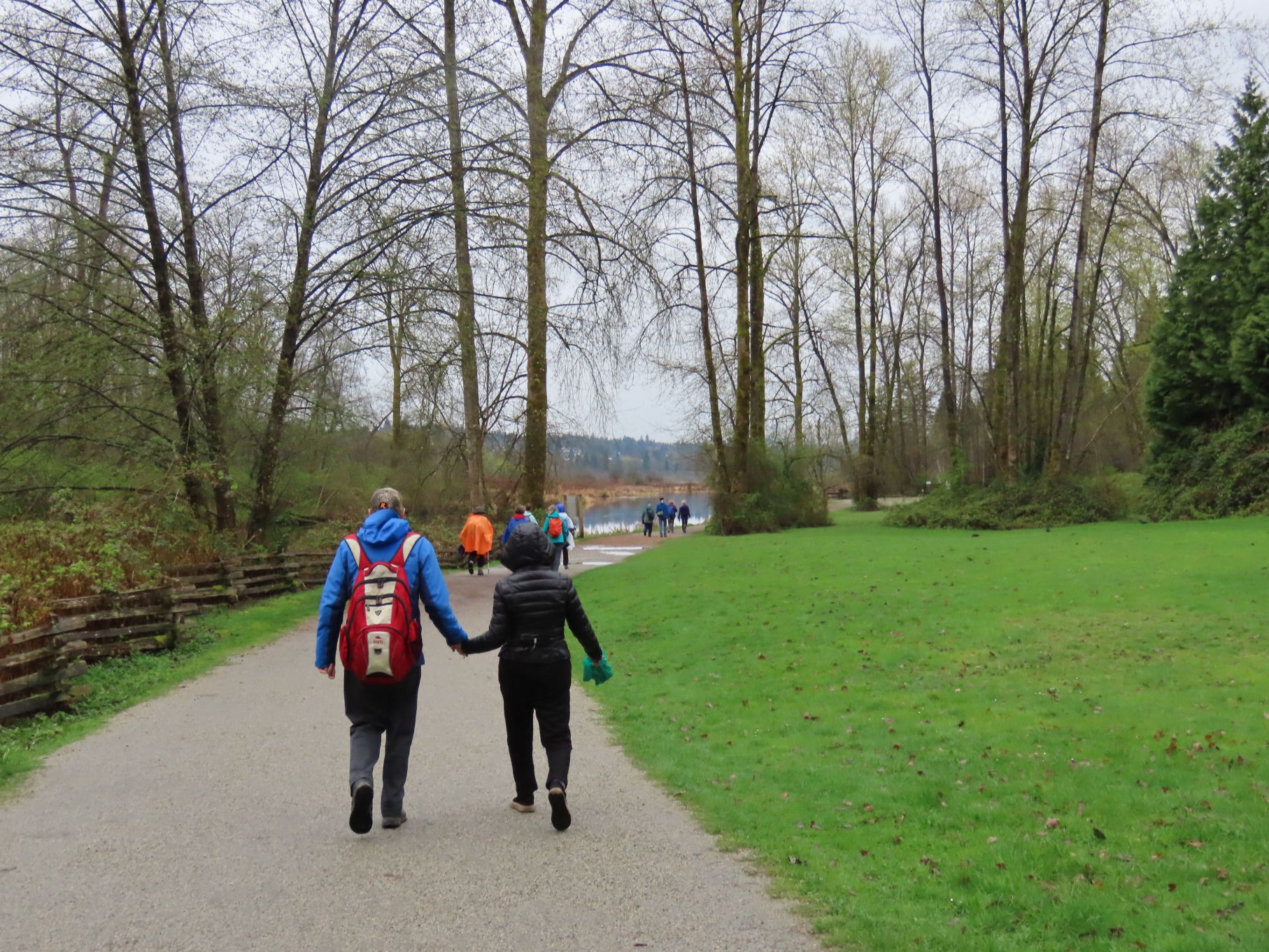
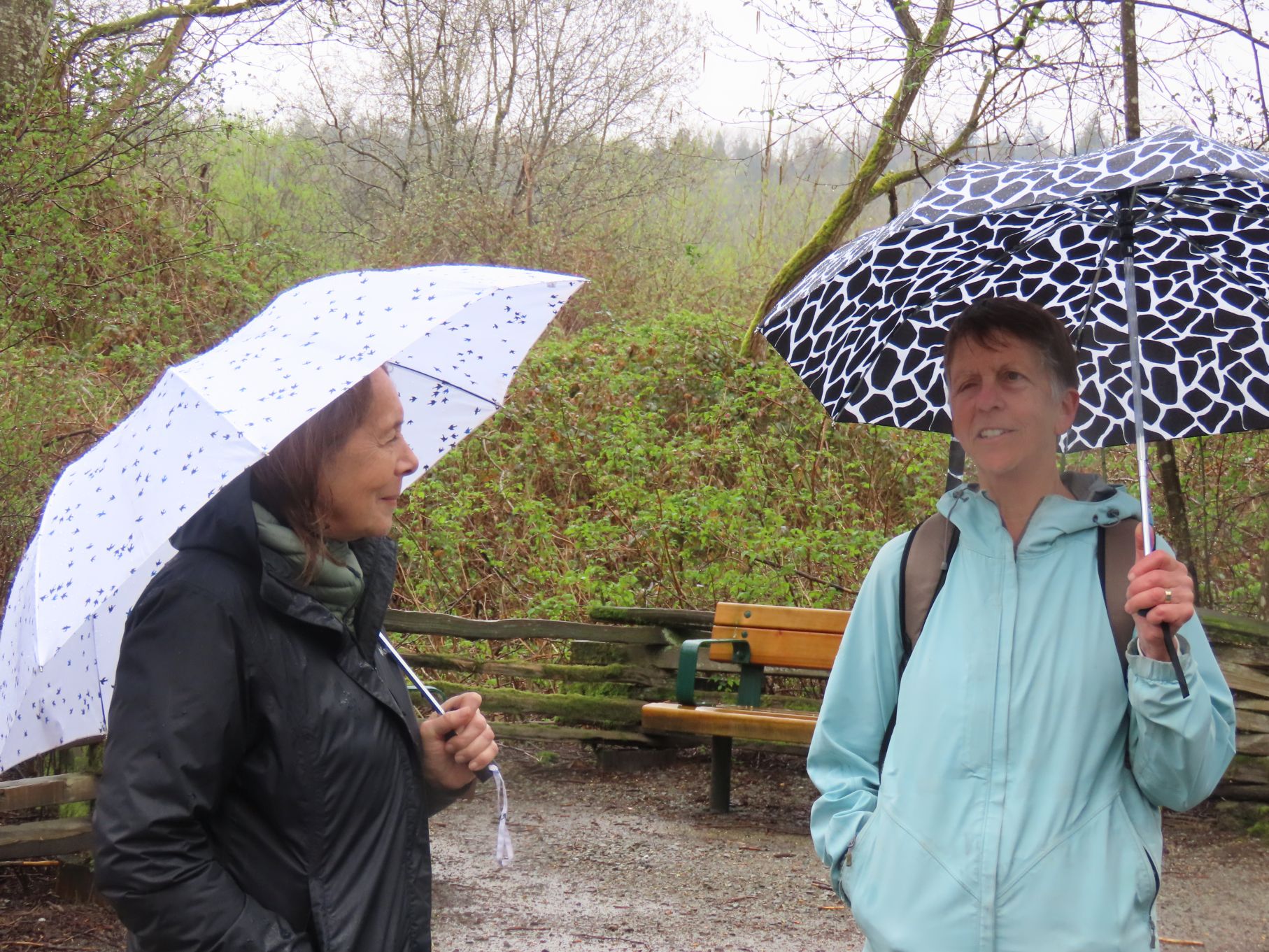
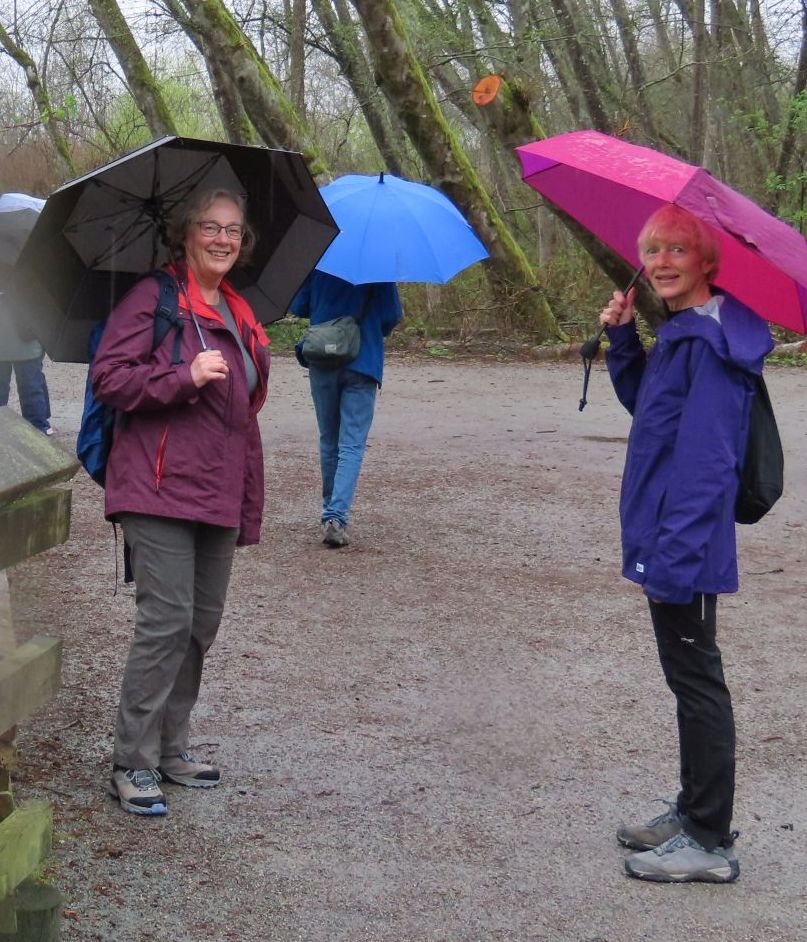
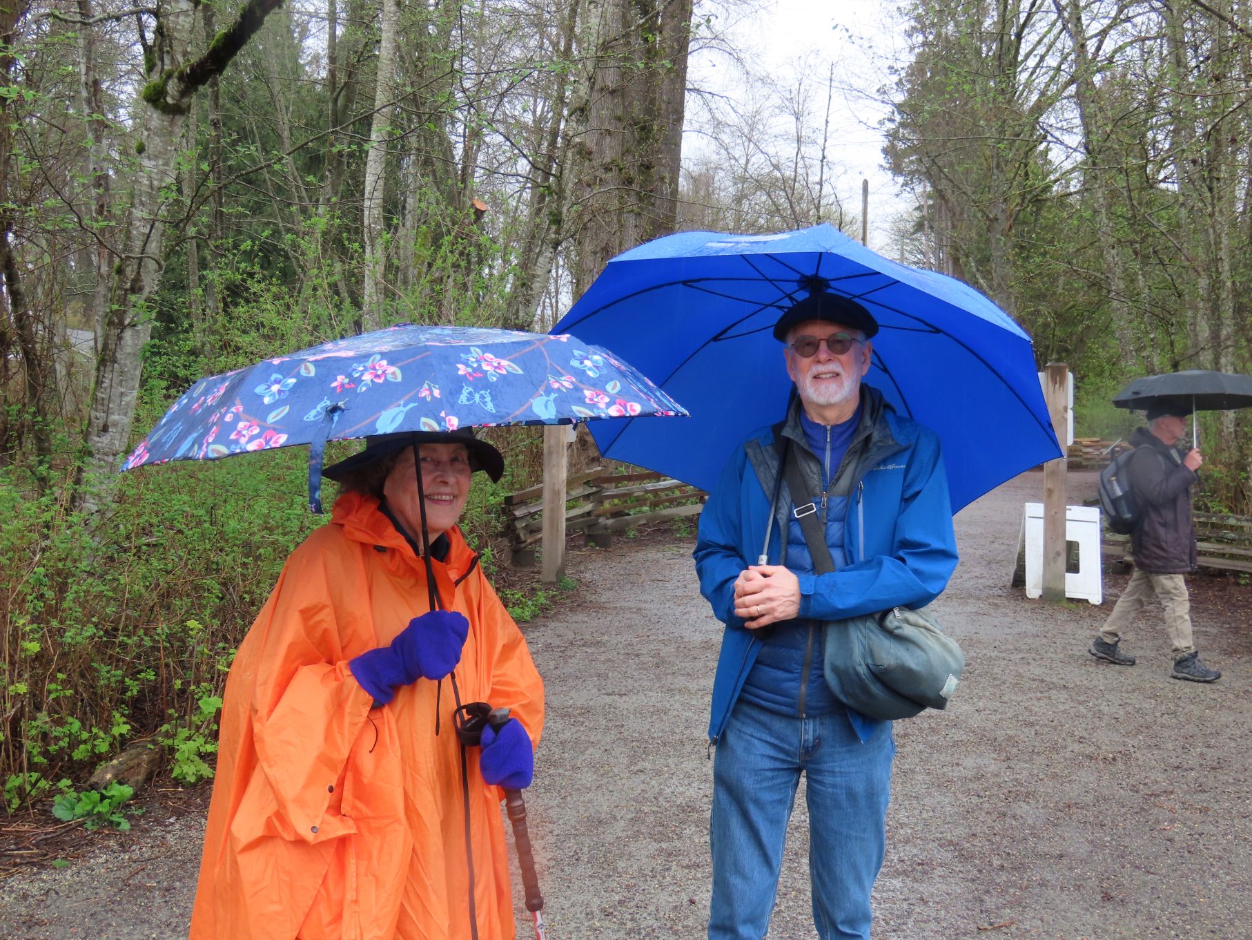
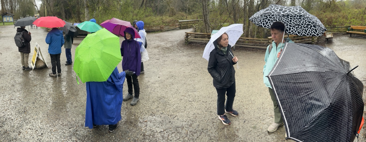
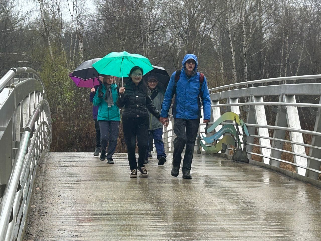
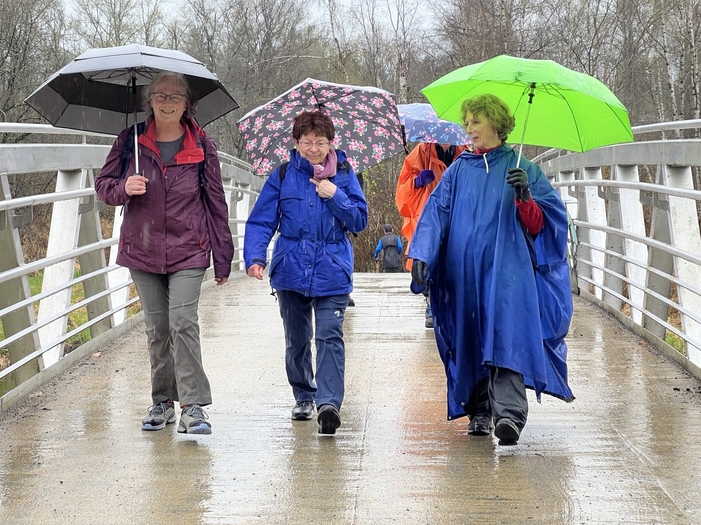
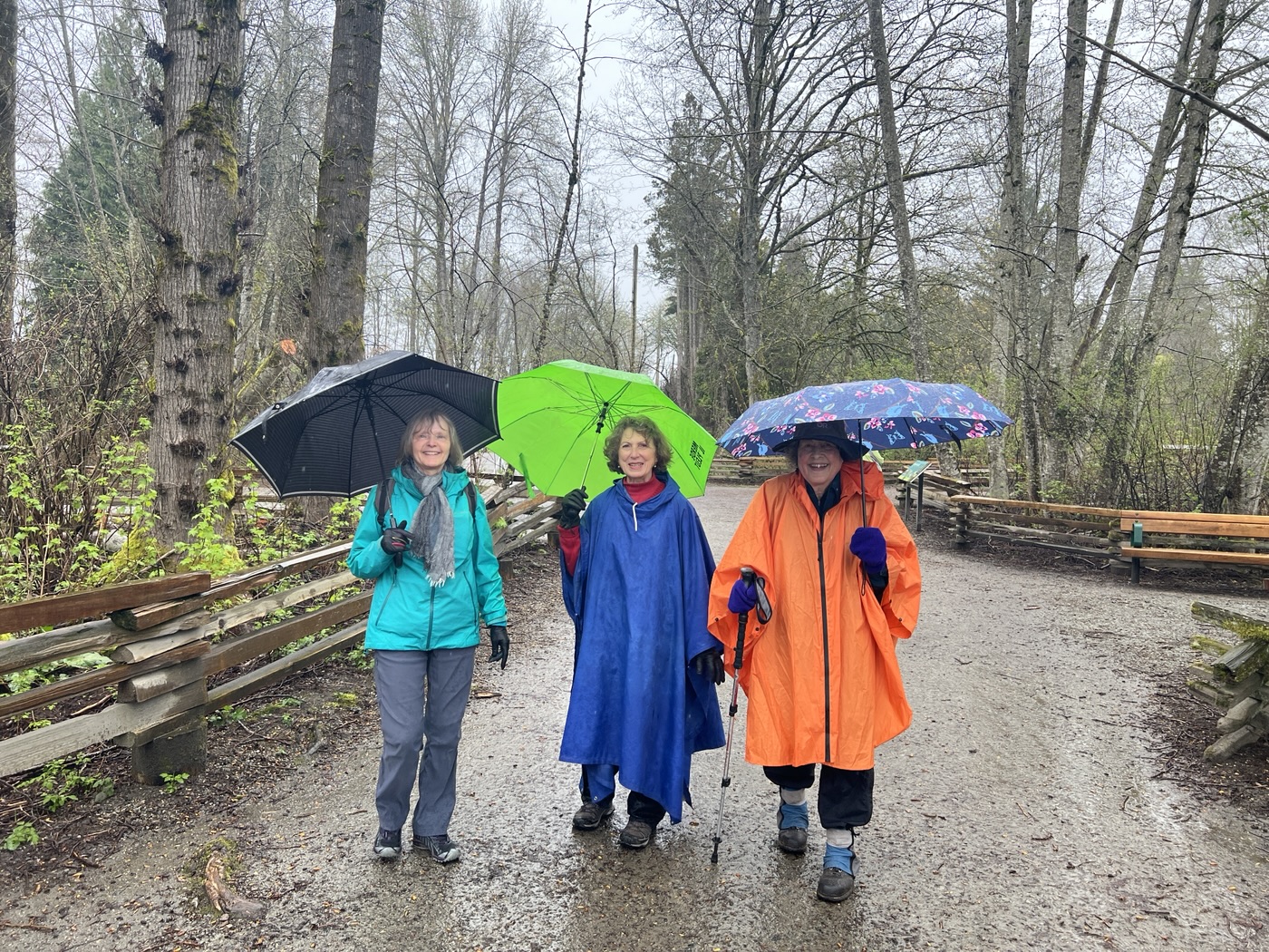
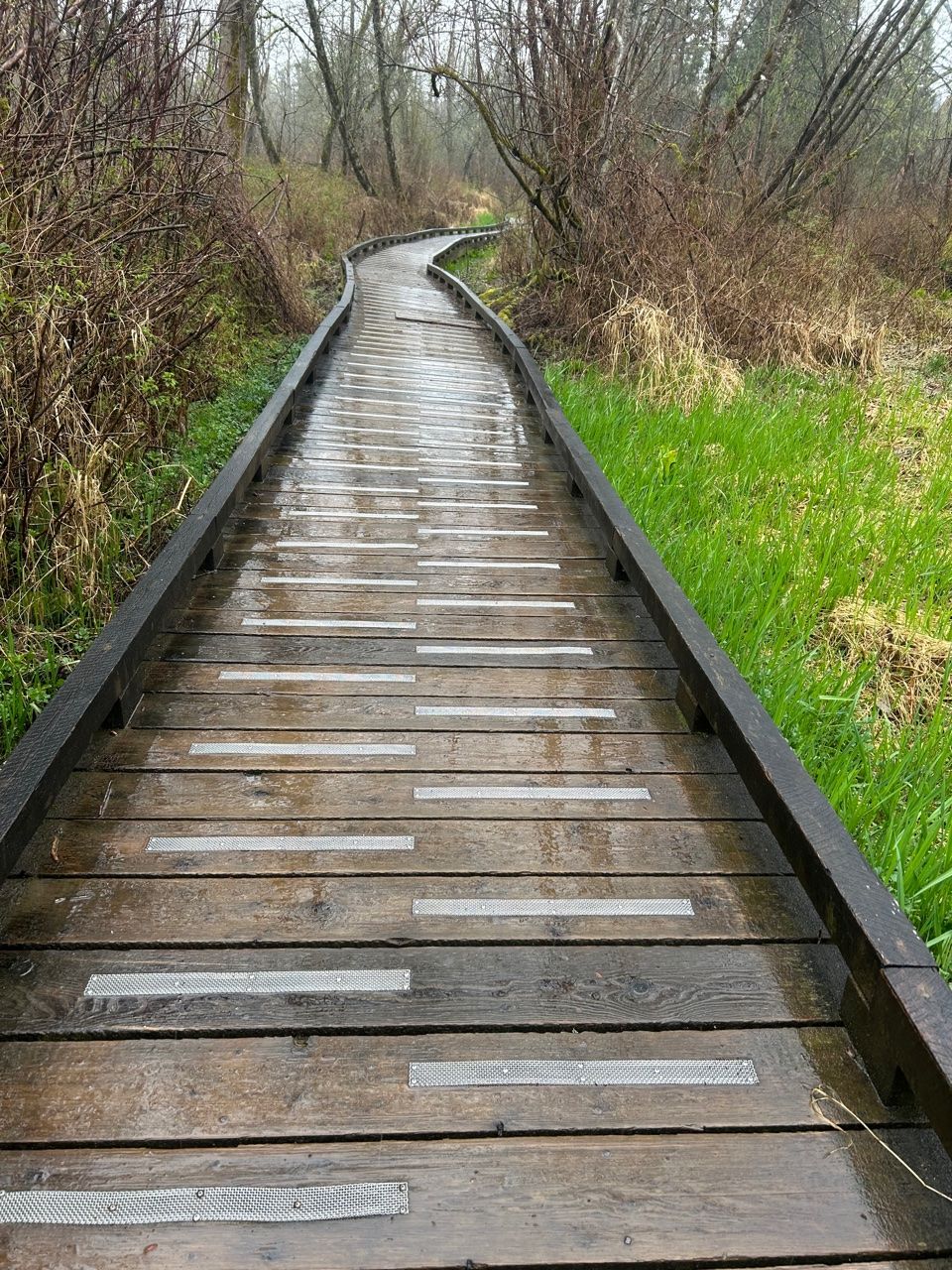
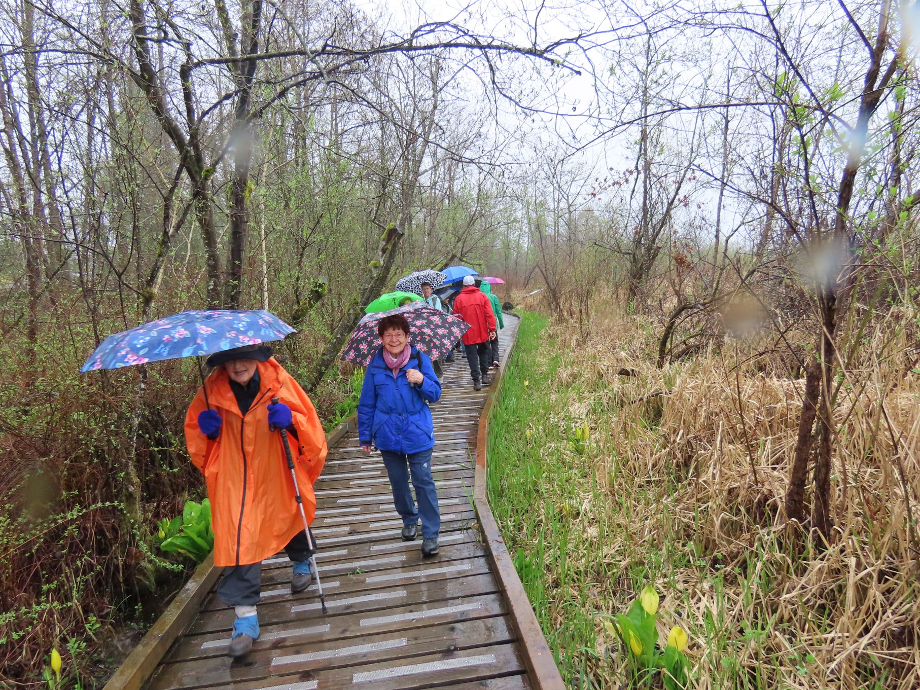
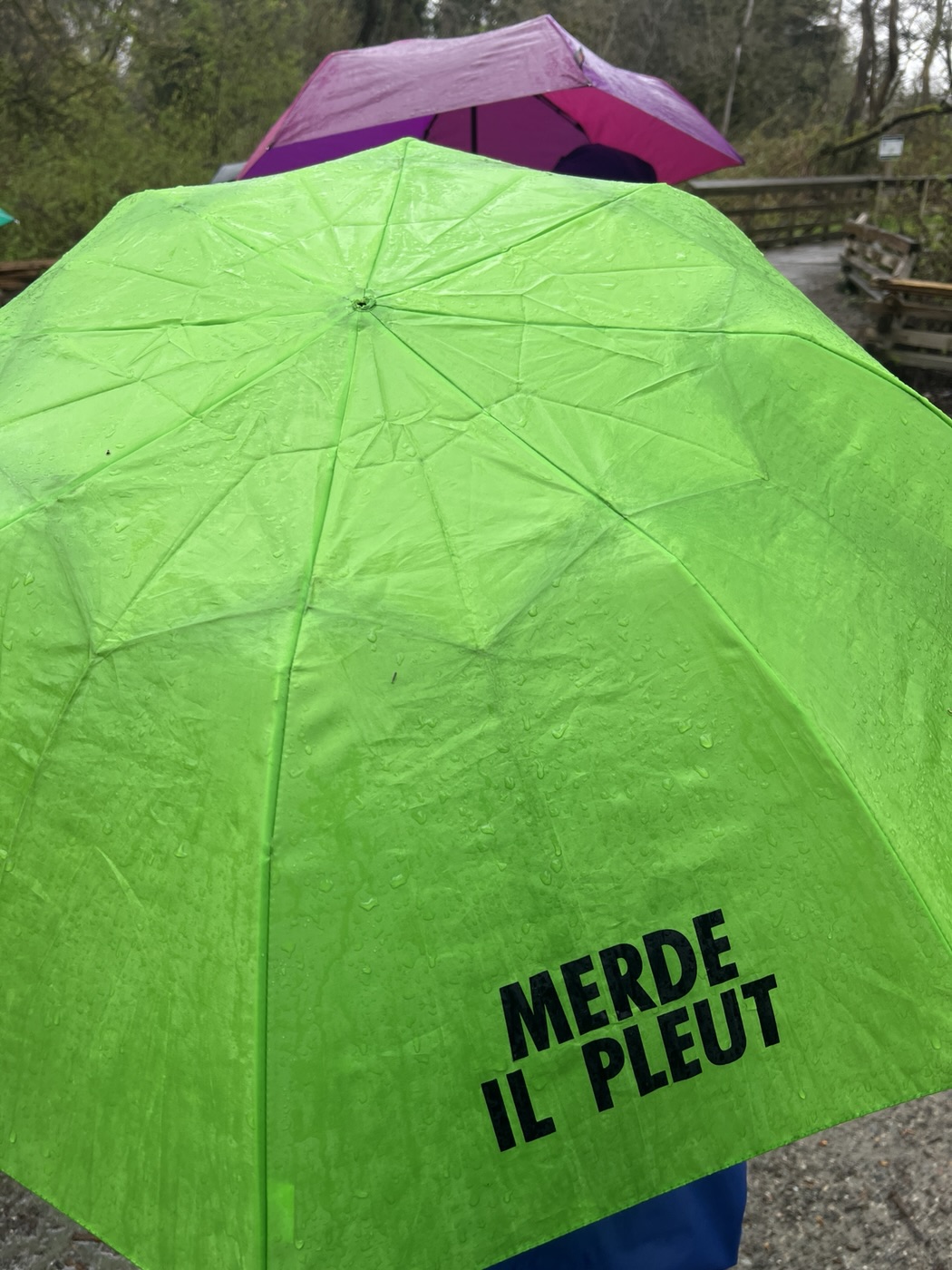
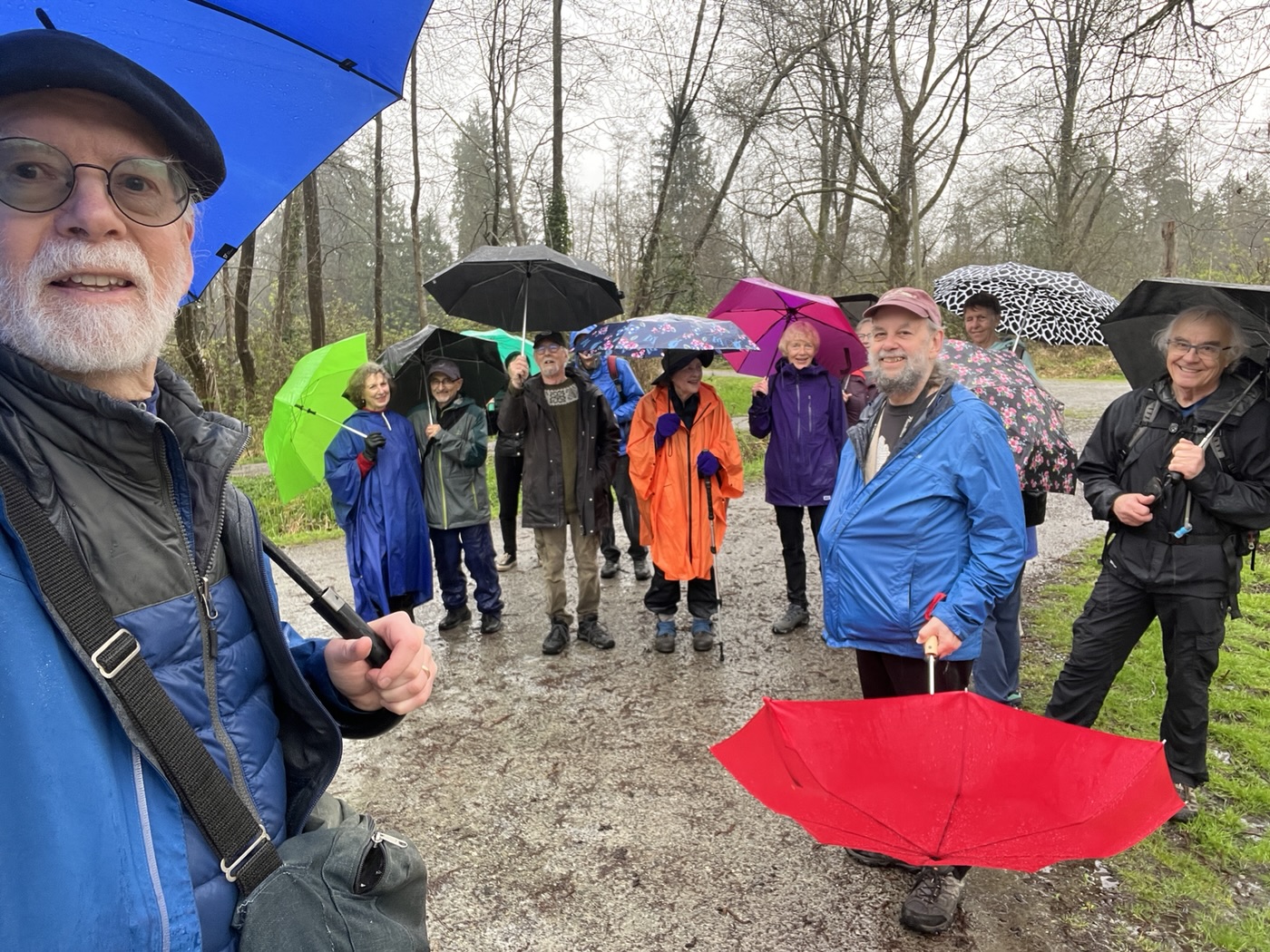
After a spell of sunshine several days long, sixteen hardy loopers met at the east end of Burnaby Lake on a day that promised and delivered nothing but rain, with a few breaks for … cloud. Gathering in the parking lot on Avalon Avenue we can assume that some at least of the cheerful small talk under umbrellas was about the weather.
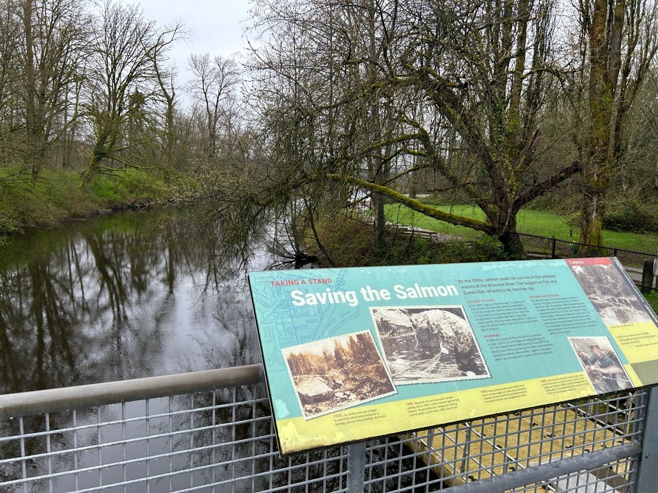
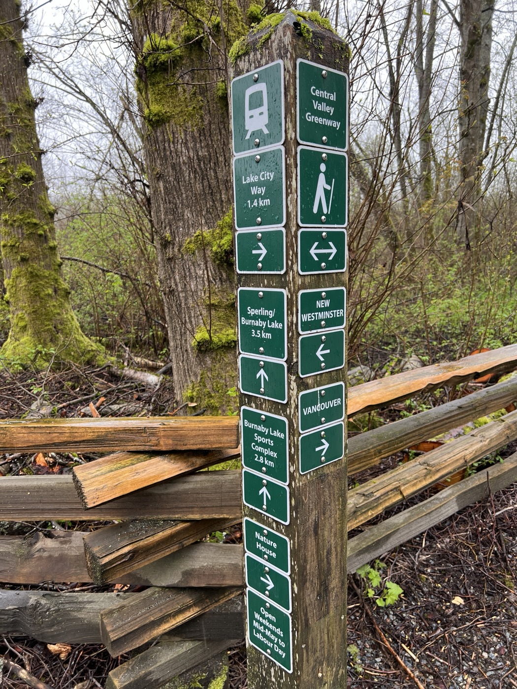
Undaunted (a favourite adjective in Looper blogs), we posed for the starting photo in front of the Burnaby Lake Regional Nature Park sign and set off northeastwards to cross the Brunette River via the Cariboo Dam – which controls the level of the lake. From here we turned sharp left to start our long westward trek, the first leg of our counterclockwise loop, which is on the north side of the lake, from the Brunette River on the east to Still Creek on the west.
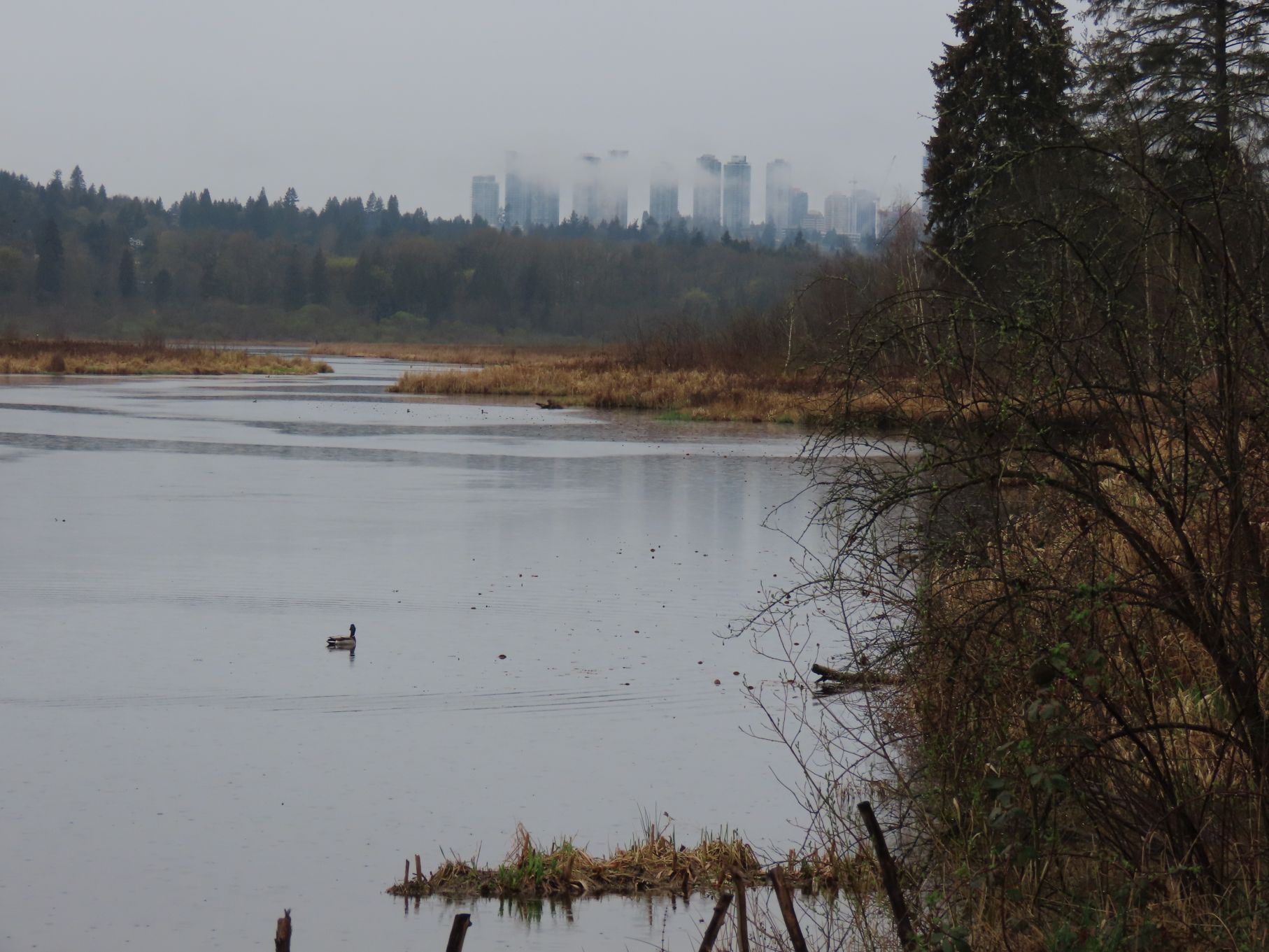
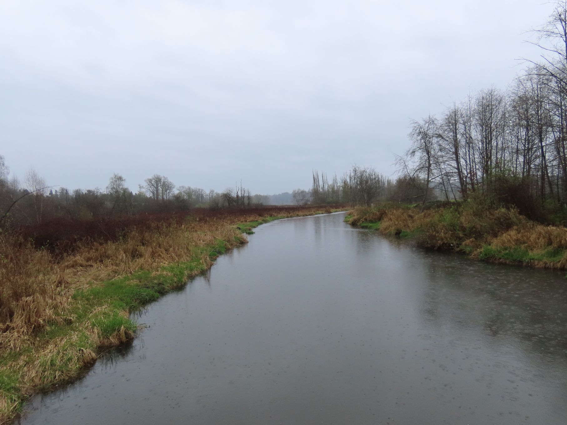
From the official website we learn: Burnaby Lake was created by a glacier 12,000 years ago. Traditionally a critically important site for Coast Salish gathering, processing and transportation activities, a century ago its shores were home to bustling sawmills. Today, a viewing tower on that same shore provides a bird’s-eye view for spotting wildlife.
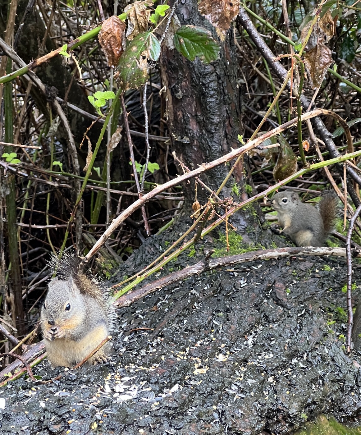

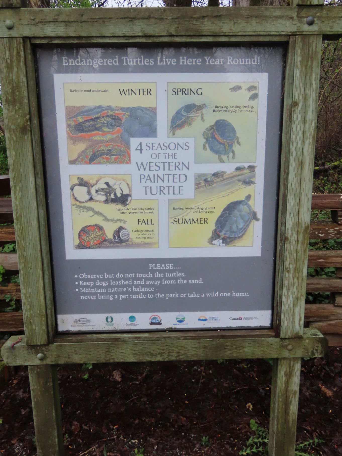
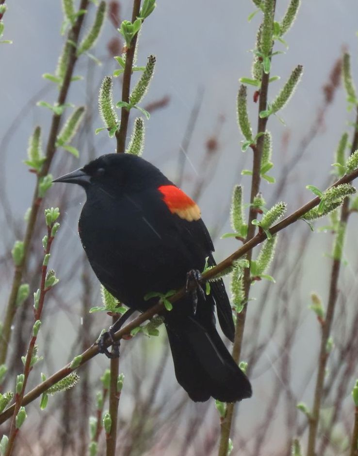
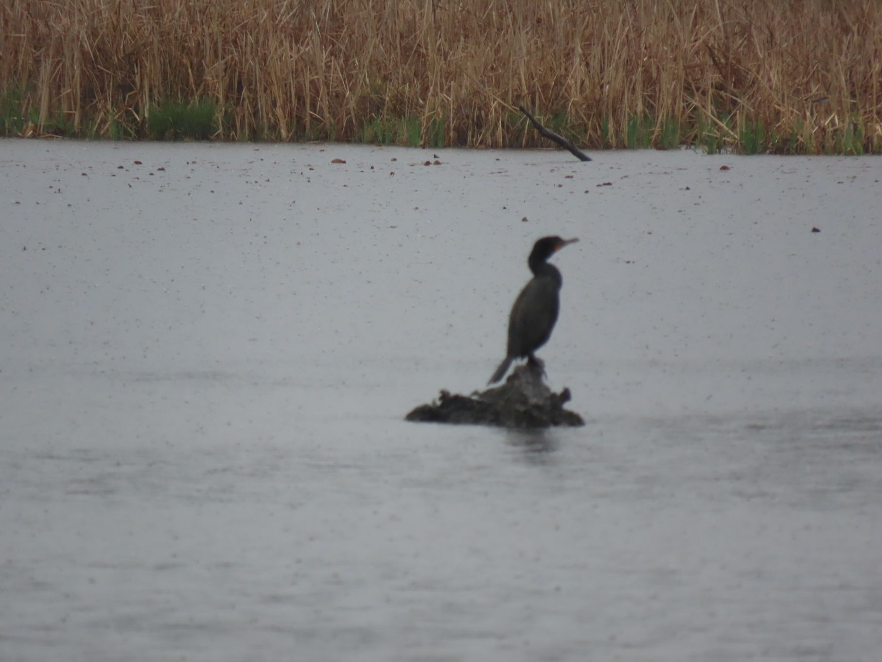
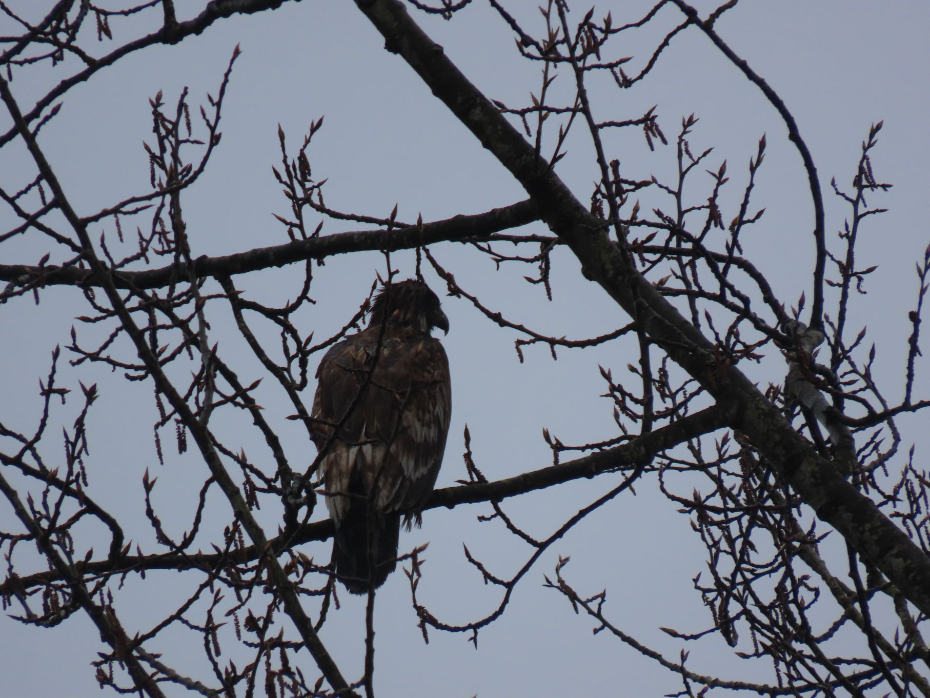
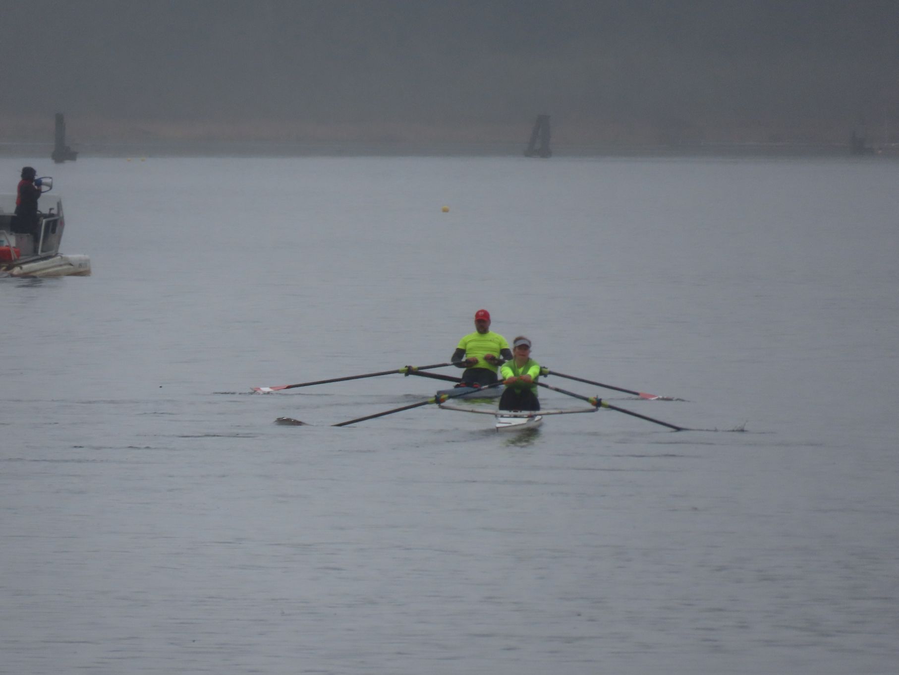
Loopers indeed spotted some wildlife. At the Piper Road education centre we stopped to view various waterfowl, including little Green-winged Teal, slightly larger and more colourful Wood Duck, even larger Mallard, and of course, the usual Canada Geese. Jon was able to spot the obligatory Great Blue Heron at some distance and snag a photo. This stop was also the first of two biological opportunities. A Douglas squirrel feeding on seeds scattered on a stump was the only wild mammal this blogger saw – and it seemed rather tame.
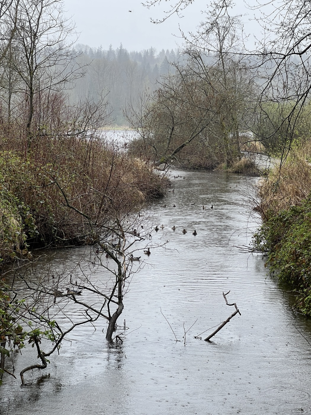
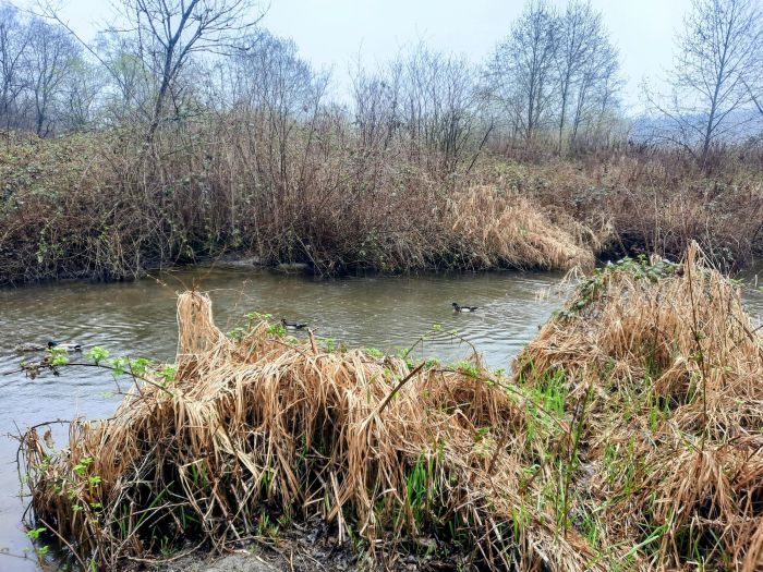
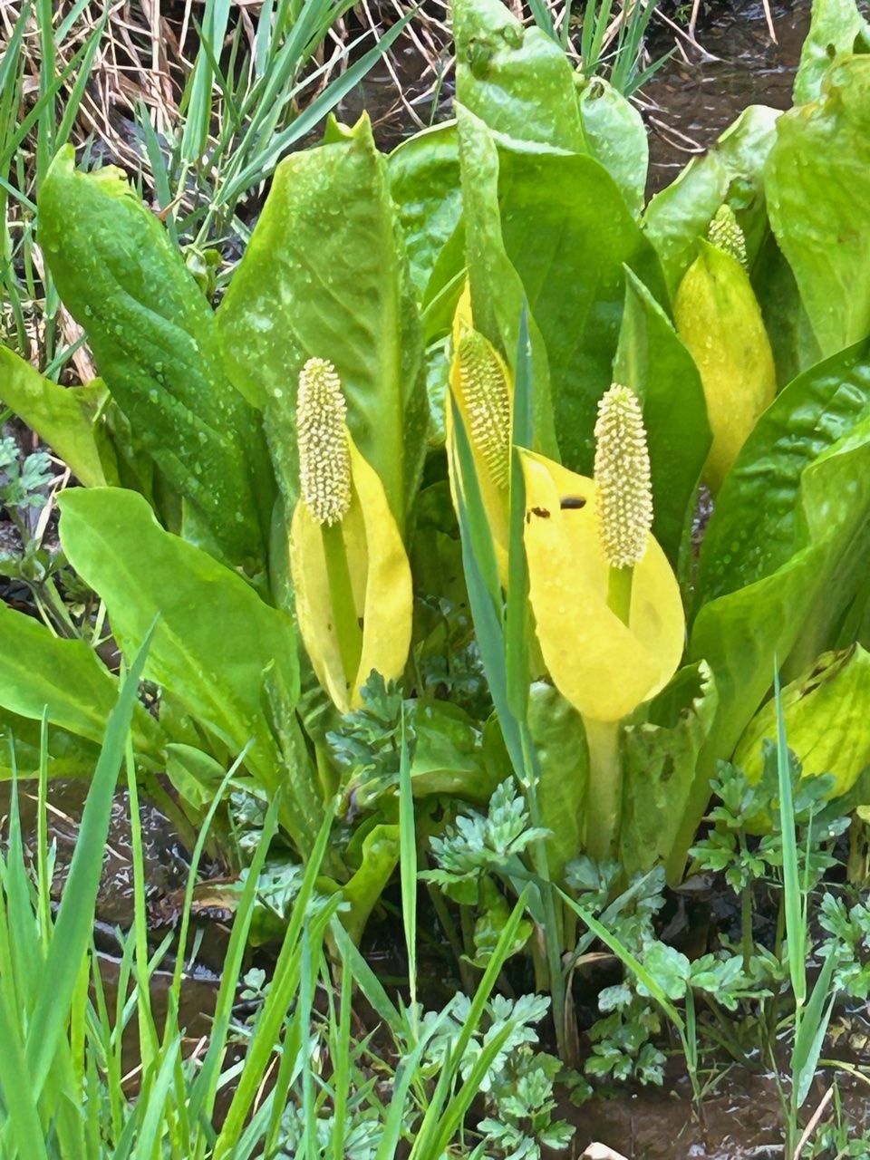
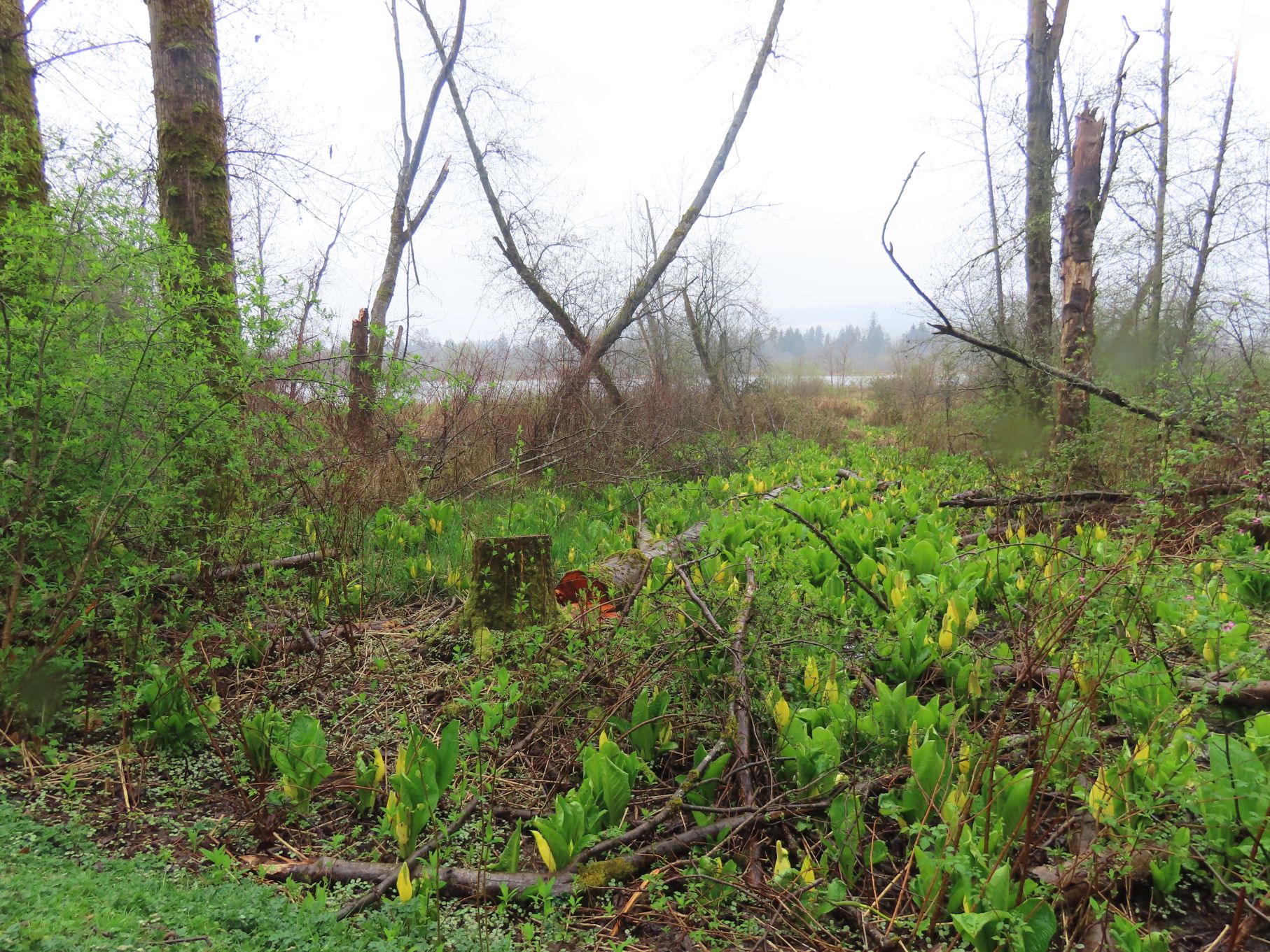
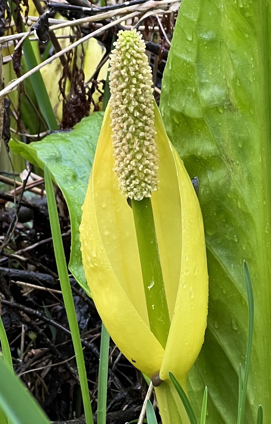
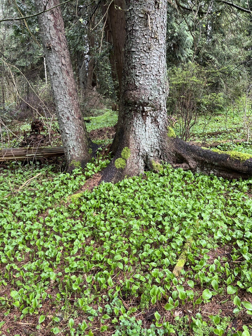
Botanical enthusiasts “came upon a crowd, a host of golden … Skunk Cabbage.” Salmonberry has started to blossom and the dreary, dried out and soggy masses of last year’s reeds and grasses are relieved by waves of new green everywhere.
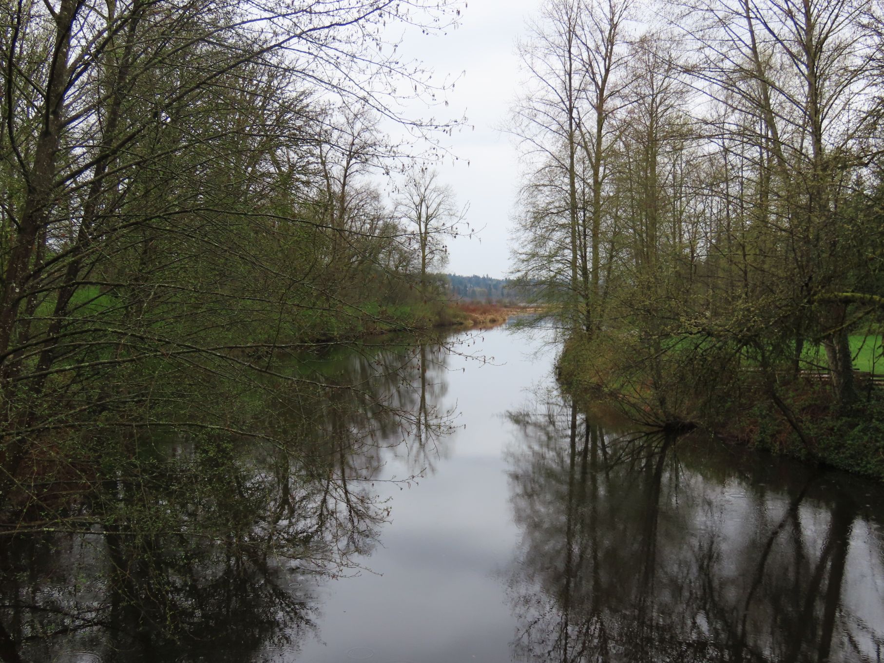
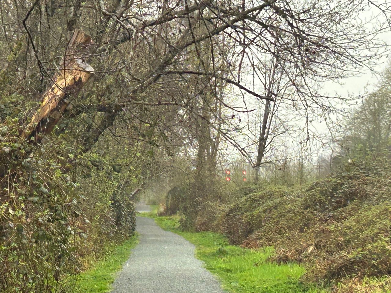
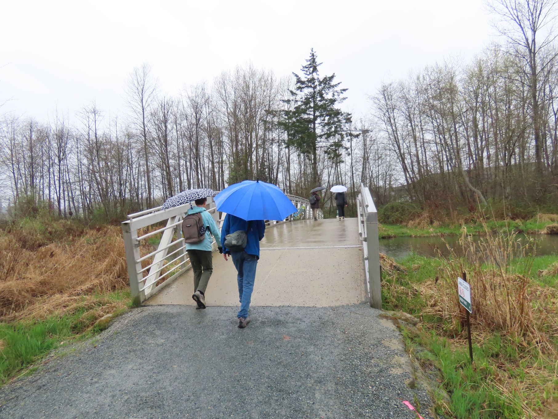
The long dead-straight stretch parallel to the railway line seemed endless – but we finally turned south to eventually cross the handsome aluminum bridge over Still Creek and begin the return leg along the south side of the lake.

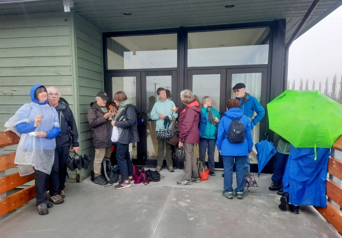
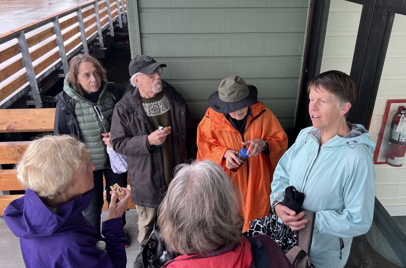
This included a very welcome, if not entirely comfortable, snack break in the shelter of the rowing club’s pavilion – approximately the 6km point of a 10.5km loop. And here we said goodbye to three loopers, who would meet us later for afters.
The rain was never heavy, and seemed even lighter on this final leg – an effect that may be the anticipation of afters in a warm, dry pub. Two of our number were unable to join us, so we were thirteen when we sat round the large table of the private room of the Sapperton District Taphouse on Columbia Street in New West. Lo and behold, aren’t our numbers made back up with the arrival of Dave and Angela a few minutes later – to rounds of applause, especially for Angela, who waved her new (temporary) crutch at us!
The loop took almost exactly 3 hours and no Looper was lost.

Credits: text by David S, photos by David S, Jon, Michael, Adrienne
