We’re still not walking in larger groups. So people designed their own outings again this month. Although the walk fell on Easter Sunday, many people left the chocolate bunnies at home and headed out.
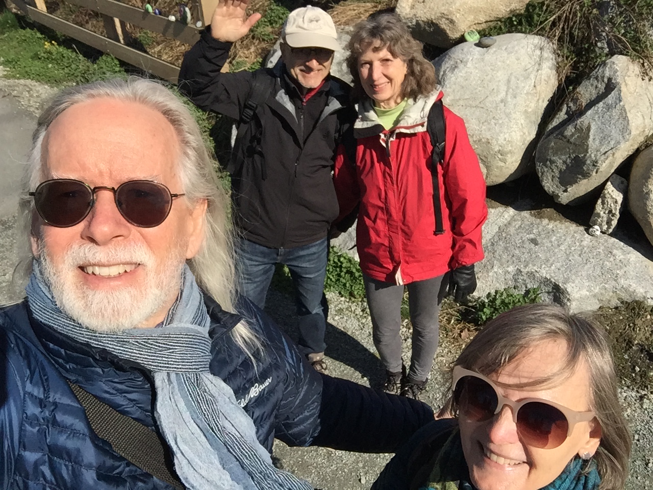
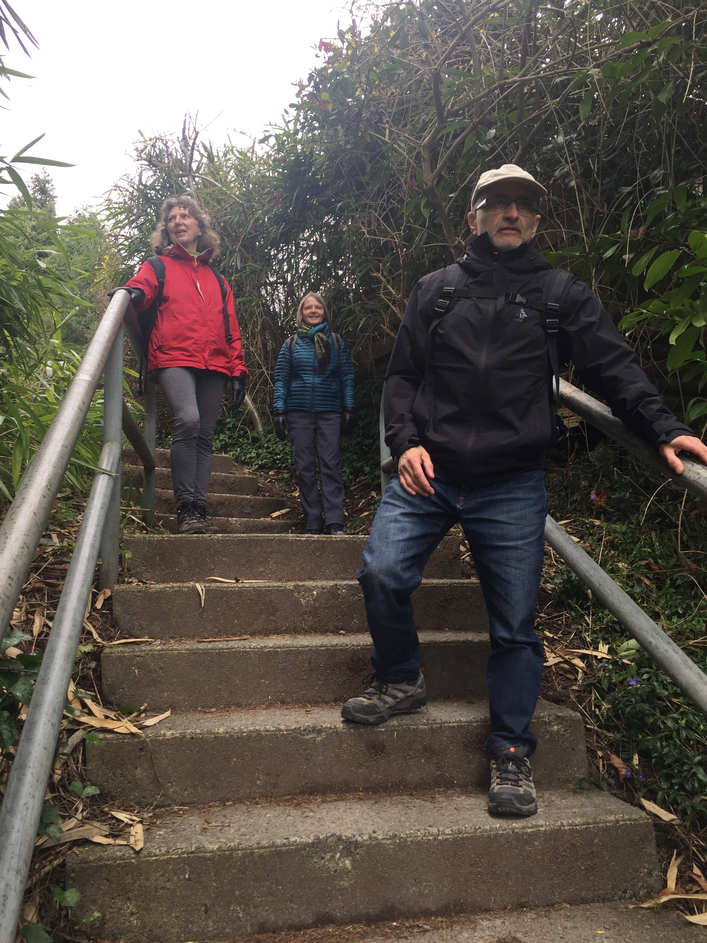
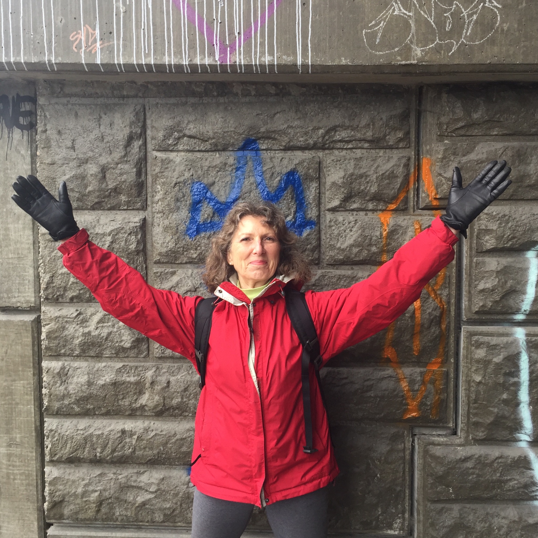
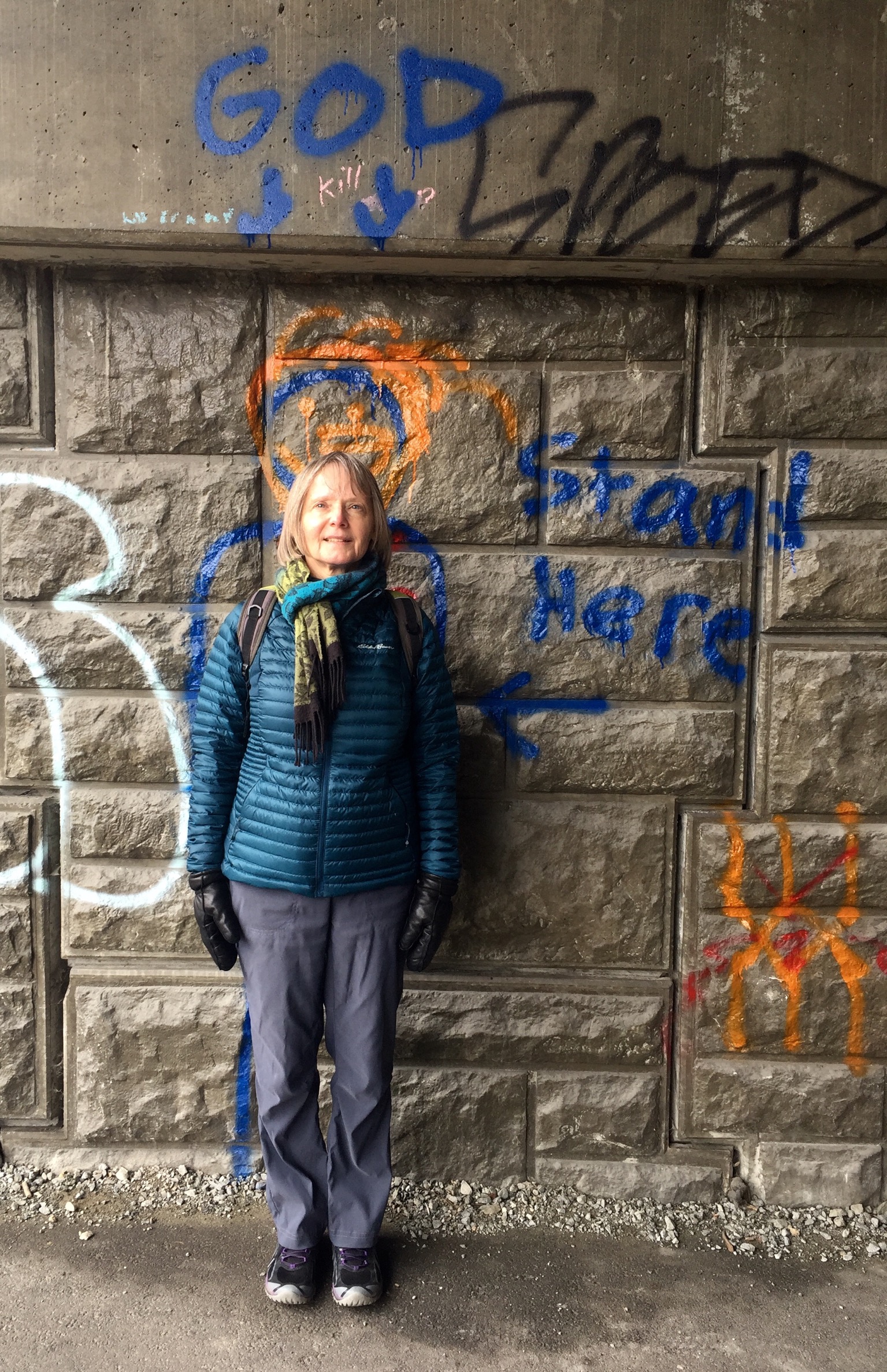
Michael and Jean, Fred and Joette: Bridgman Park – Princess Park – Lynn Valley Link
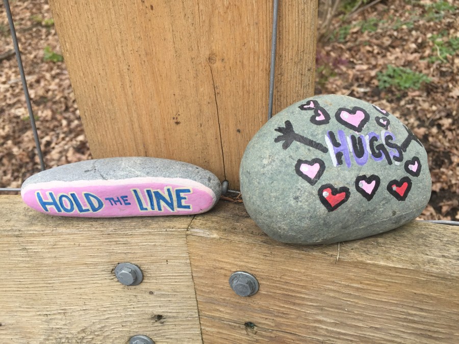
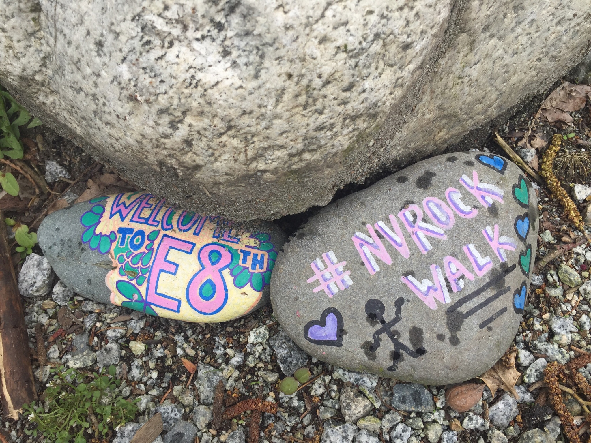
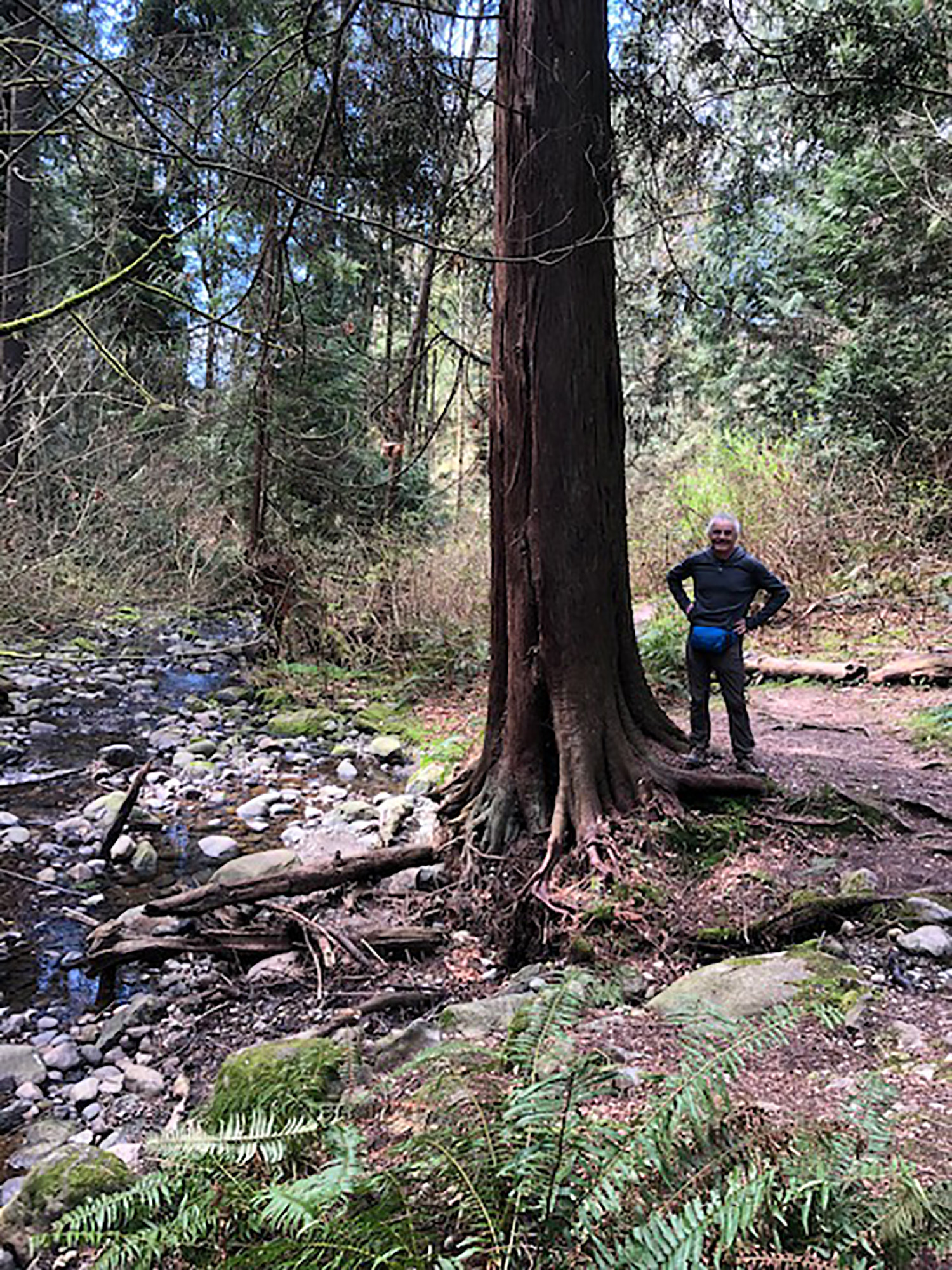
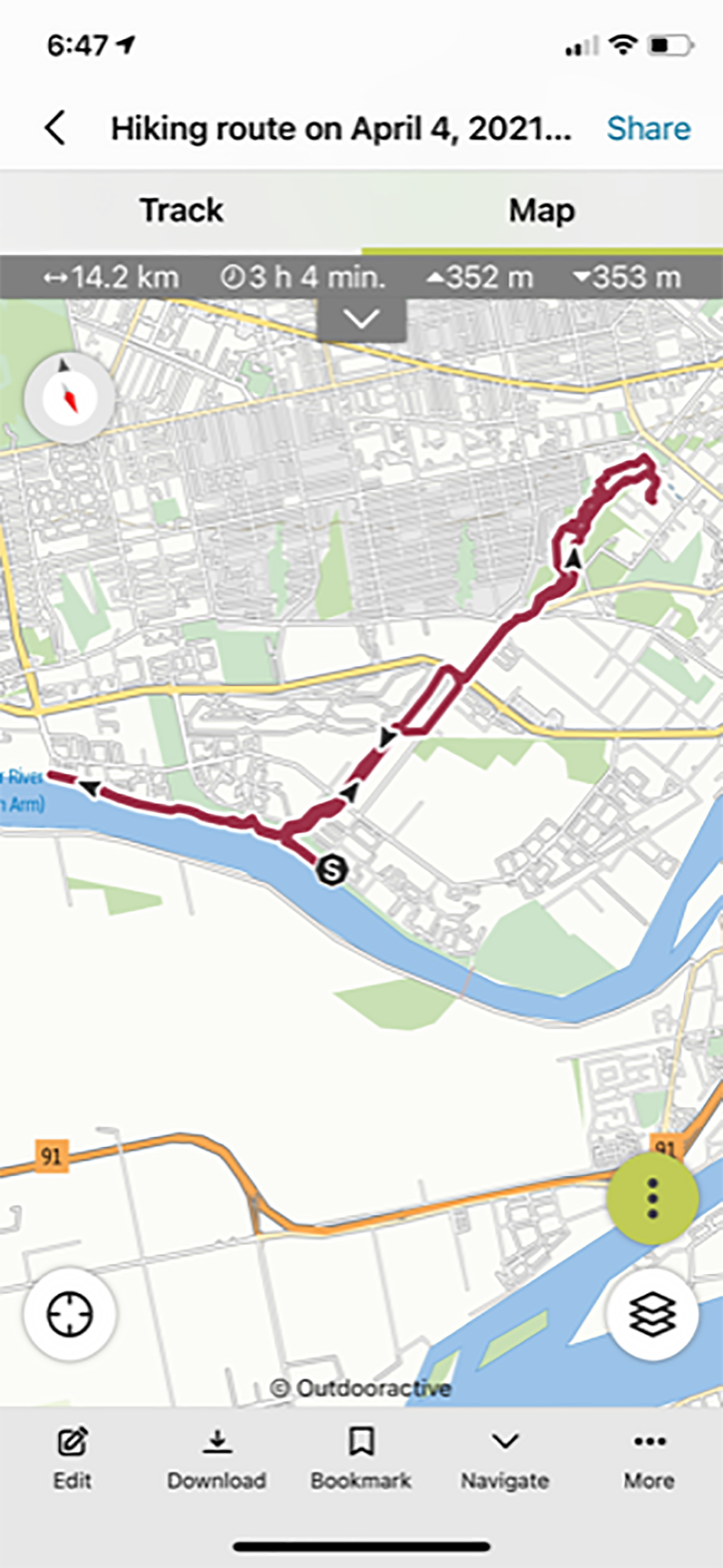
We followed a route that the larger Looper collective had walked in small groups in July of last year. Our starting point was Bridgman Park in North Vancouver, where Keith Road crosses Lynn Creek. After admiring the semi-famous painted rocks of the Rock Walk we followed the trail that wends (and/or winds) uphill through woods beside the Upper Levels highway, to Lynn Valley Road. After crossing under the highway we continued uphill to Princess Park, a perfect place to consume snacks and to observe an Easter egg hunt in progress.
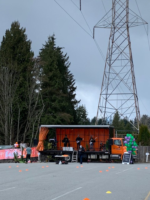
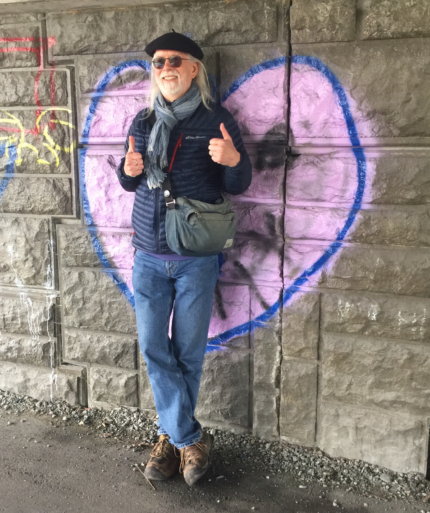
Then, downhill along the power line trail to Lynn Valley Road, where we stopped briefly to listen to a Christian rock band belt out Easter songs to a non-existent audience in the parking lot of Hillside Church. At this point we were following part of the Lynn Valley Link trail, which eventually led us to Lynn Creek, which we followed downstream to our starting point. As we crossed beneath Highway 1, each of us selected a suitable piece of graffiti art for a commemorative end-of-walk portrait.


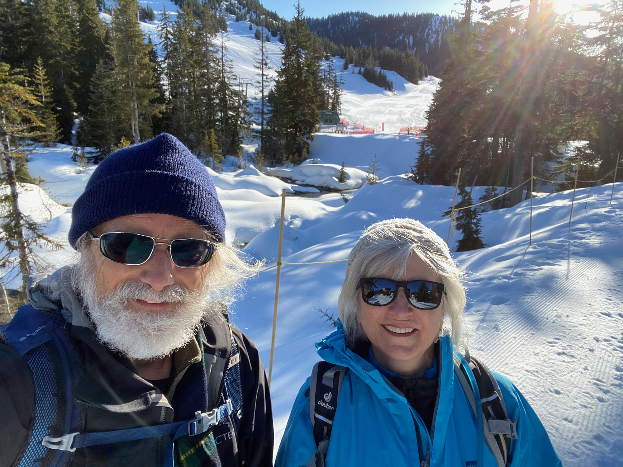
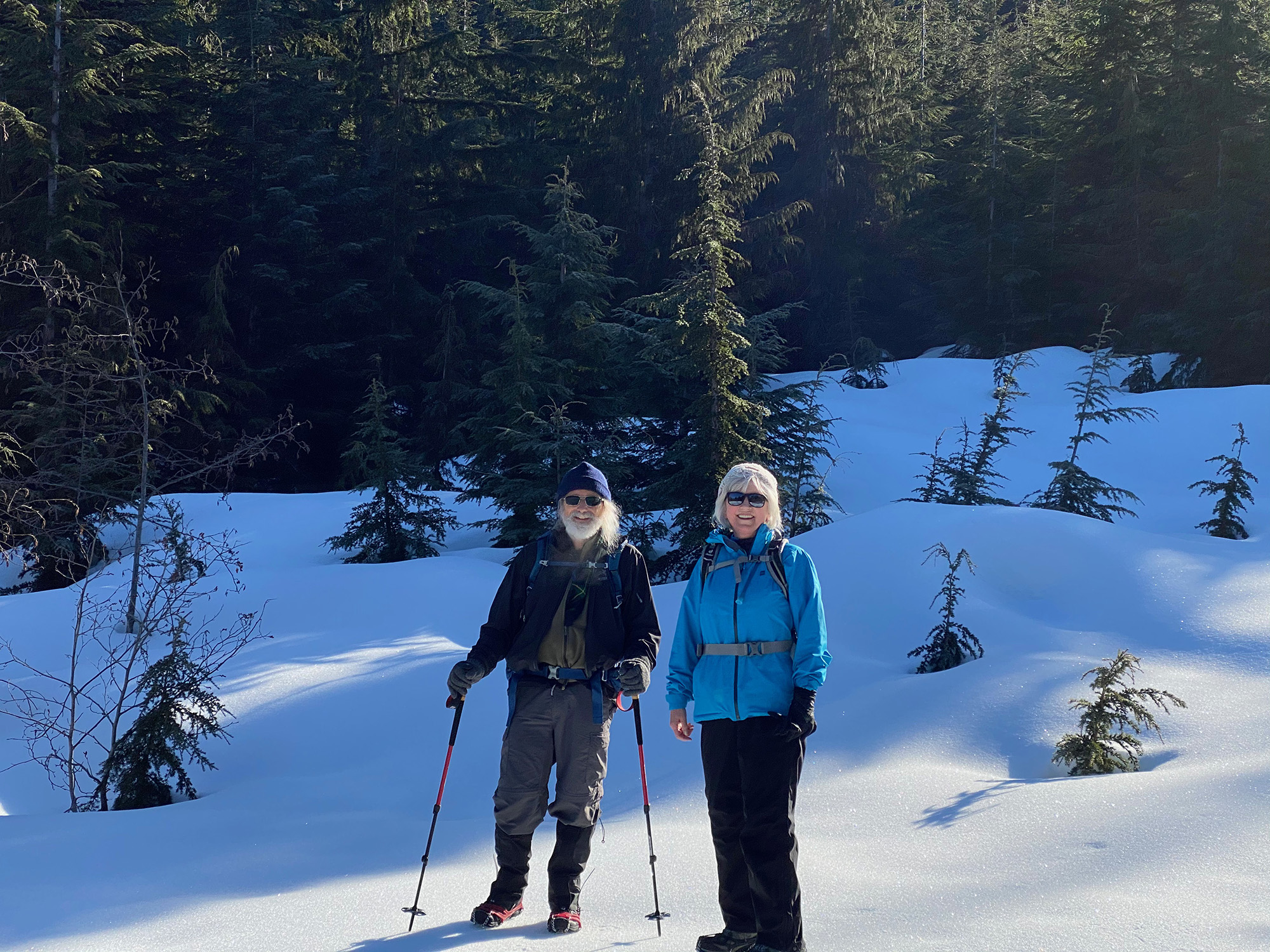
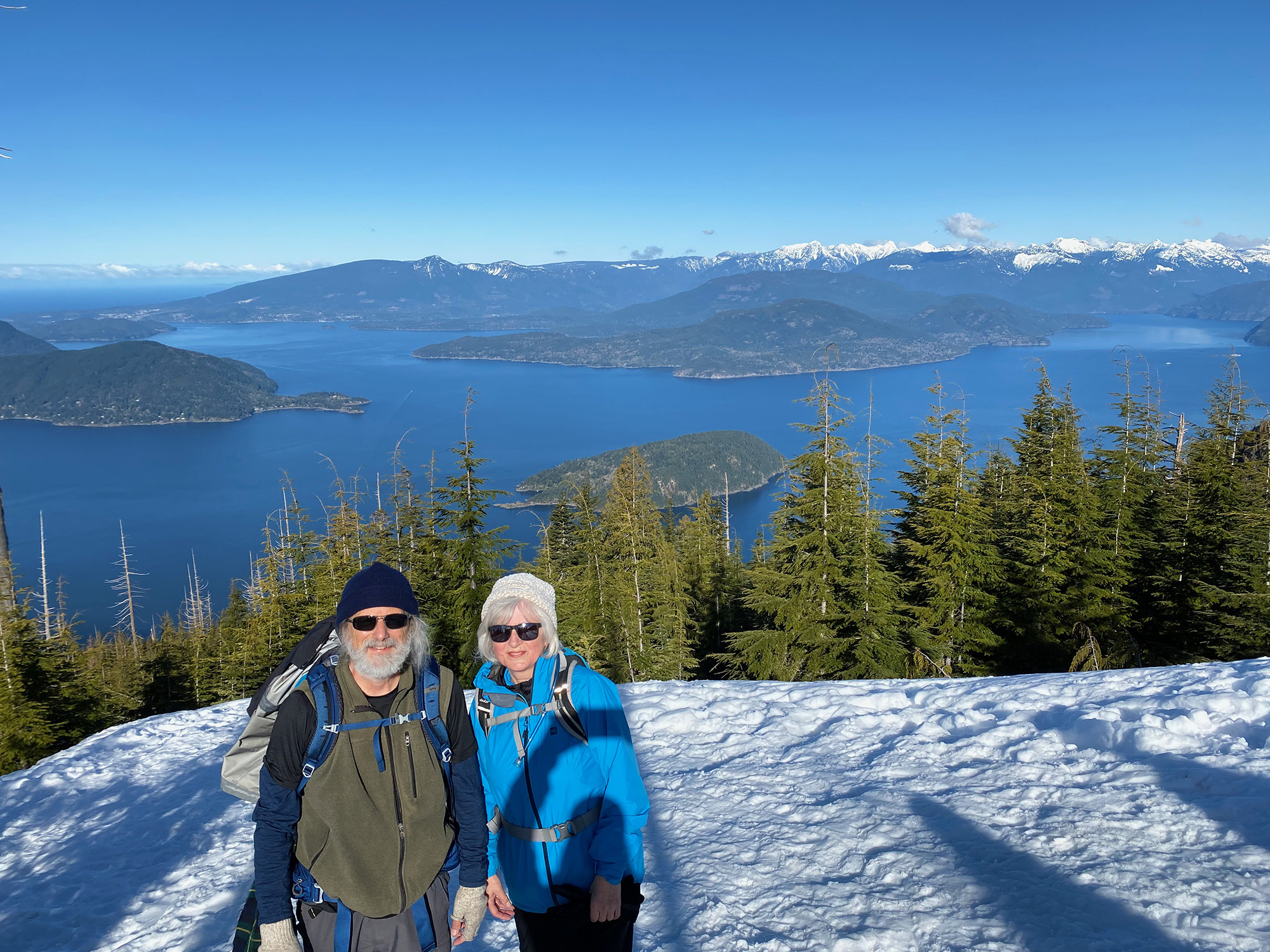
Dave and Angela: Bowen Lookout Trail
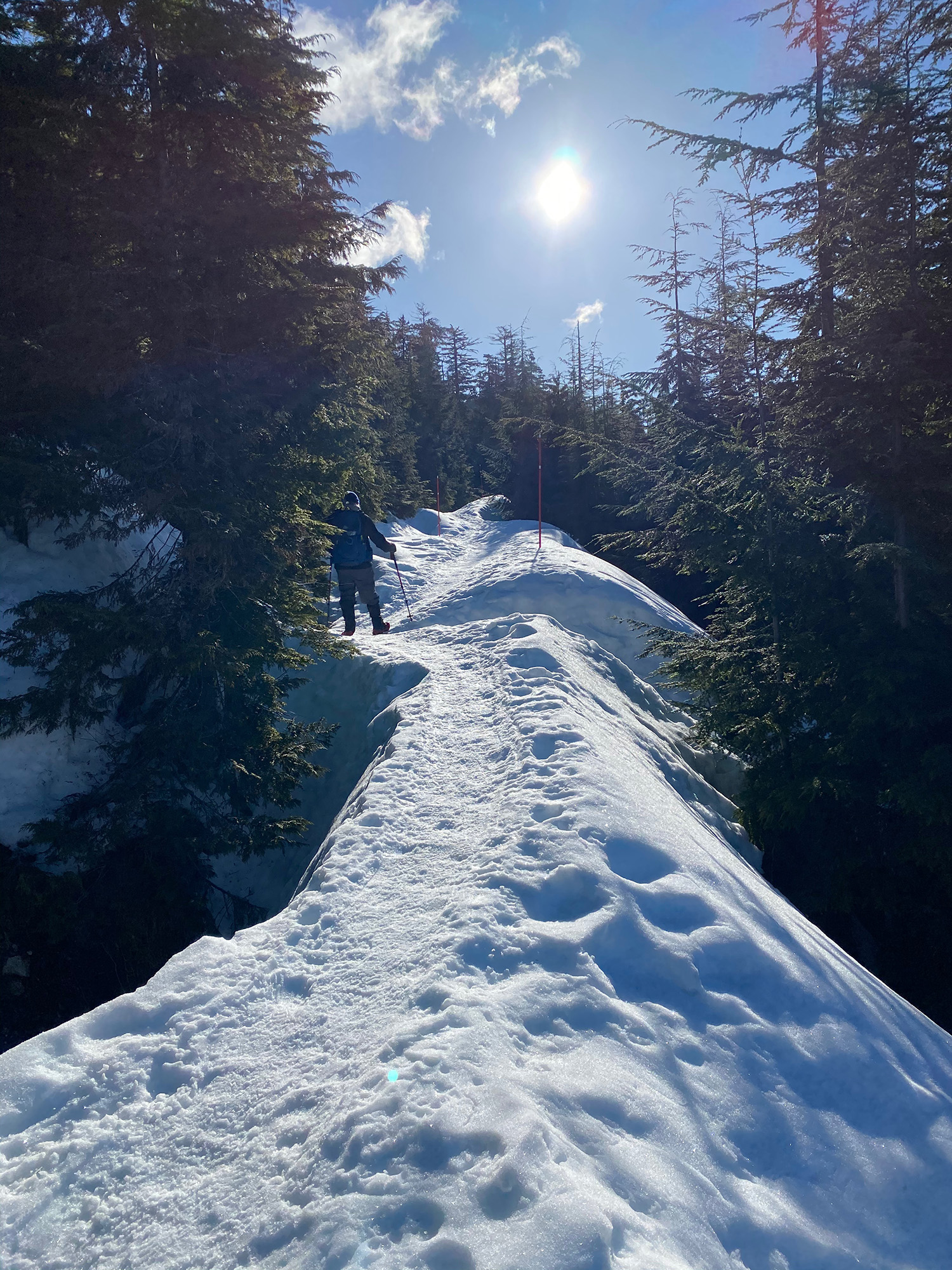
Because of the anticipated crowds, we arrived at Cypress Provincial Park at about 8:30. Putting on our micro-spikes, we walked past a lineup of skiers waiting for the mountain to open. Once through the gate, we had the mountain to ourselves — for a short while, at least.
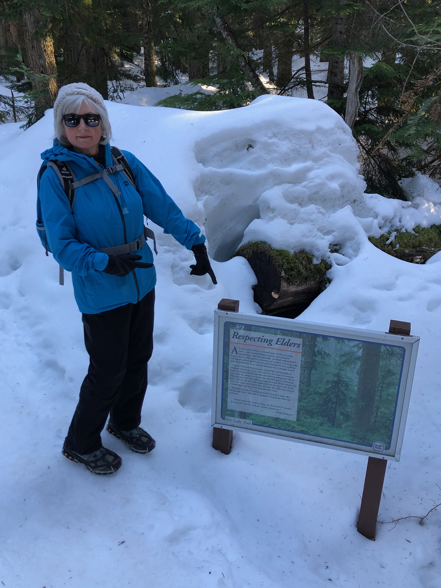
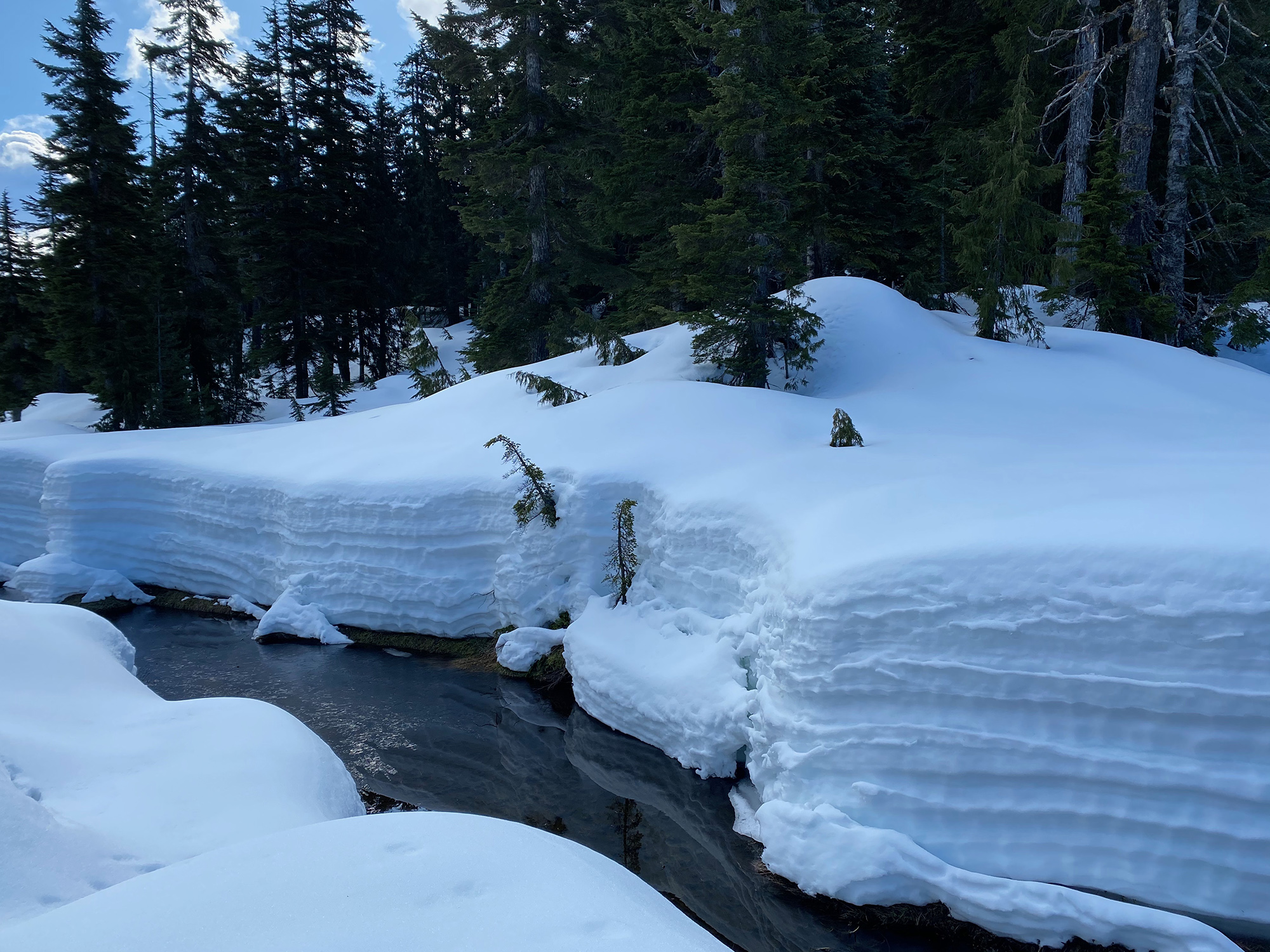
The conditions were glorious: clear blue skies, glittering frozen snow, and a firm surface with no risk of sinking. The trail follows the Yew Lake Trail into some snow-covered meadows, eventually heads into some old-growth woods, then out in the open again before heading uphill to the lookout.
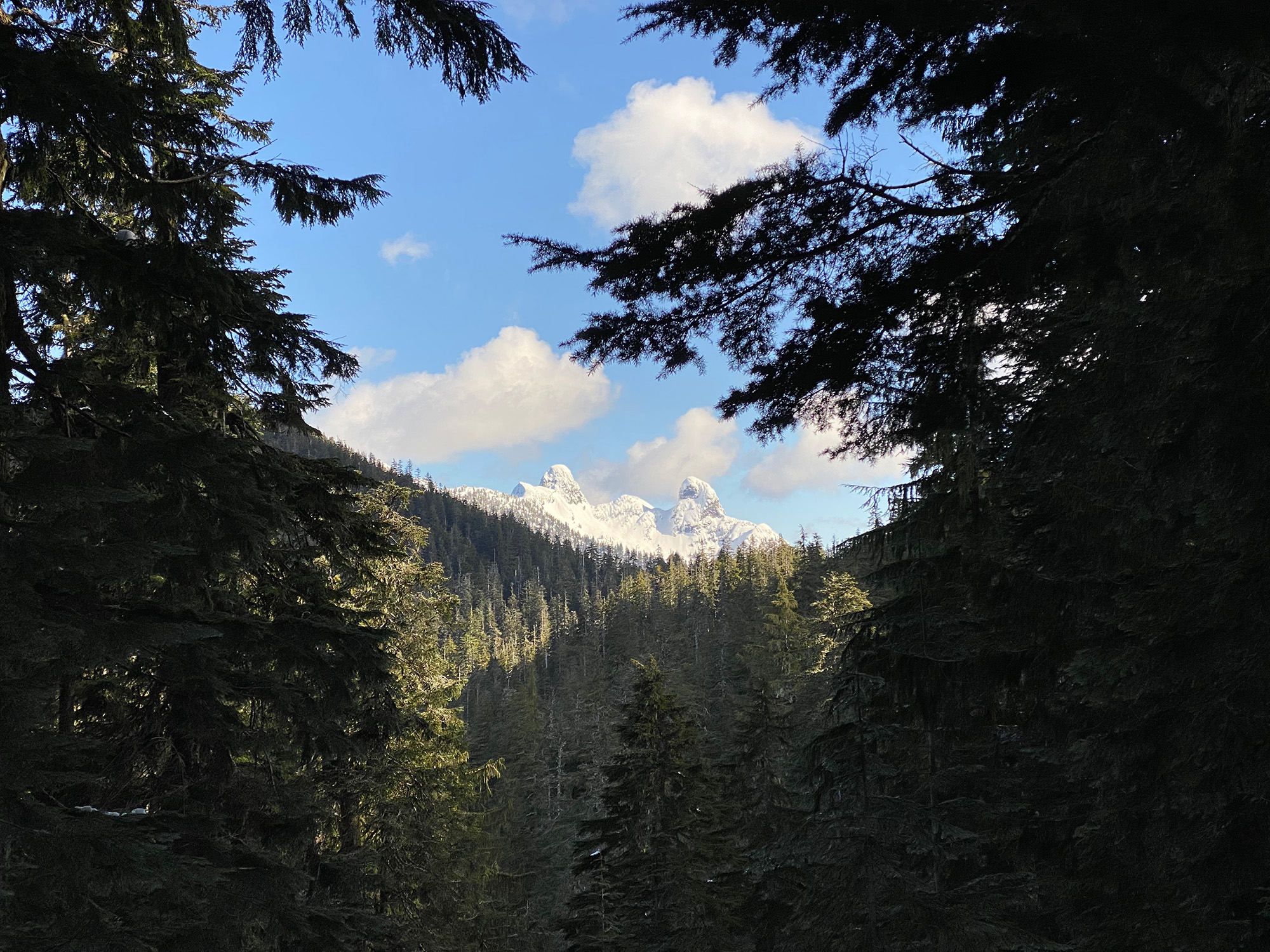
There were not many other people on the trail, and at the lookout itself there were only six or eight others. Great views of Black Mountain, Bowen, Gambier and Bowyer Islands, distant Keats and Anvil Islands, as well as Gibsons and some of the Tantalus mountains.
On the return, we took a side trip to the Howe Sound Crest Trail to a viewpoint featuring the (snow-covered) Lions/Two Sisters. Once back in the woods, we did a loop along part of the Old Growth Trail. Distance-wise, it was a shorter walk than Loopers normally do, but very rewarding.
On the walk out, we passed a good number of people heading up to the lookout and returned to parking lots packed full. The early start paid off.

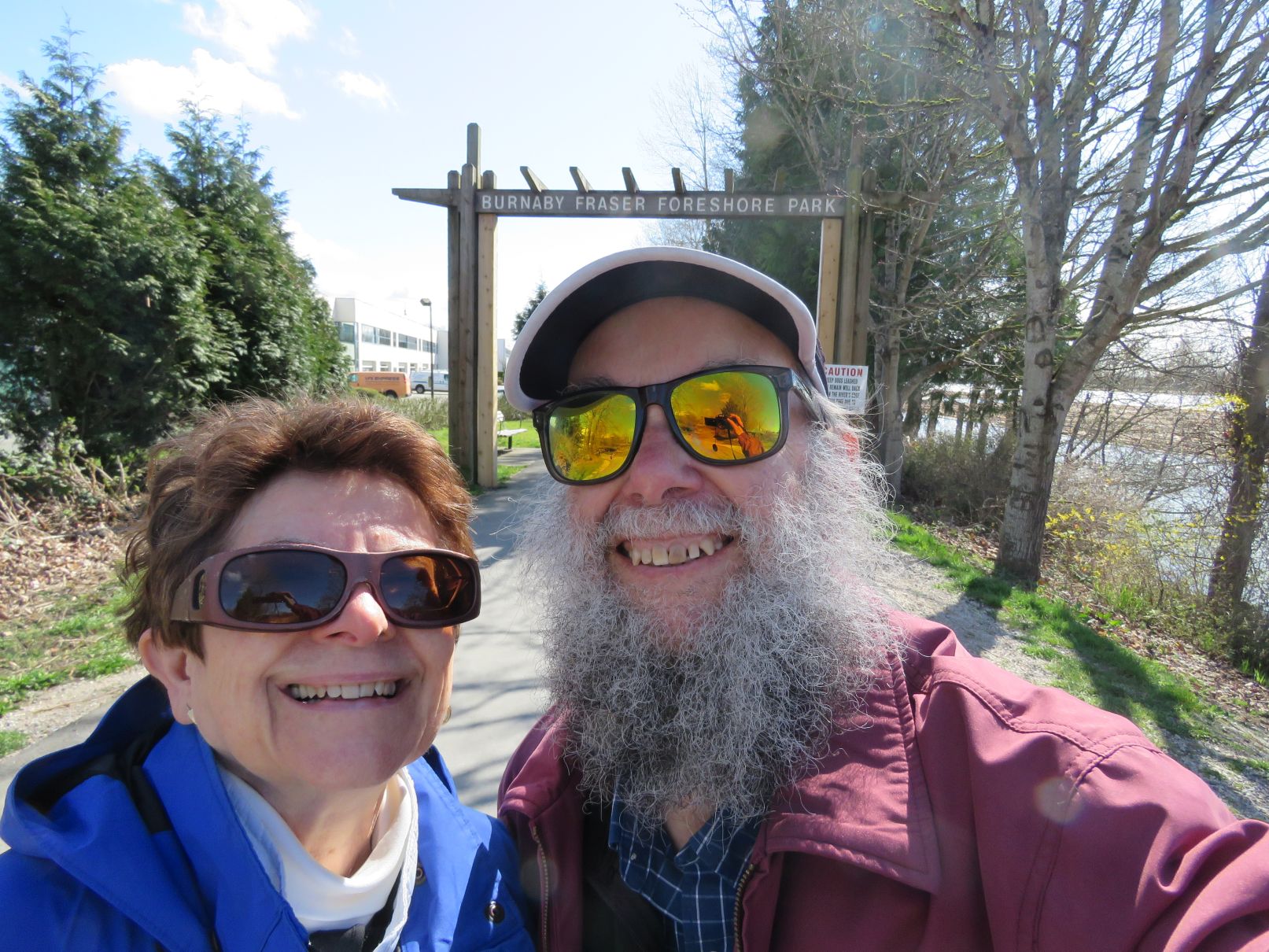
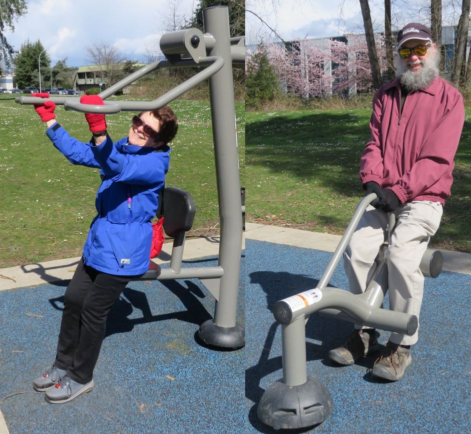
Jon and Liz: Burnaby Fraser Foreshore Trail
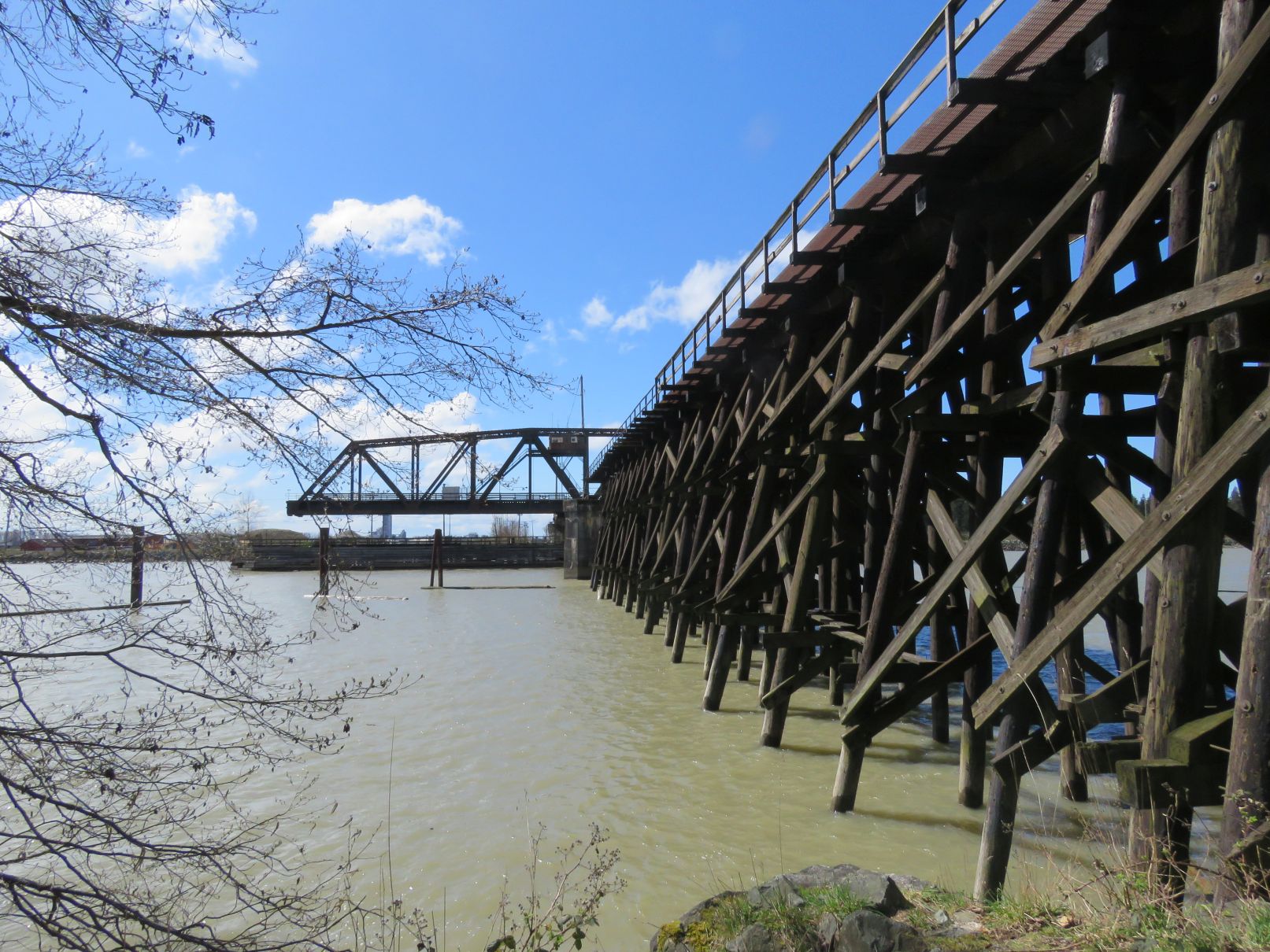
We walked the Fraser Foreshore trail from the foot of Boundary Road to near the eastern end and back again, about 9 km. Parts of the trail have been closed until relatively recently, as the dikes along the river were upgraded. It is nice that it is now open again all the way. The trail starts along the river with warehouses to the north. After about a kilometer the trail splits, with the new dike curving north and a more rustic trail continuing through the woods along the riverbank. The trail then opens up into an area with picnic shelters, washrooms, playground, and a fitness circuit. (Of course, we had to check out the latter.) After exiting the eastern end of the park, the trail continues again with warehouses to the north. It then plunges back into woods and ducks under a railway trestle.
Rather than continuing to the very end of the trail (previous excursions showed that there’s not much to see), we did a loop to the north around a pleasant meadow area before starting our return. On the return trip we took branches of the trail that ventured a bit more to the north whenever the opportunity presented itself. This provided different views from the outward trek. Along the way we saw a variety of birds and encountered two 3-legged dogs as well. It was a very pleasant walk, with a brisk breeze for some of the way.

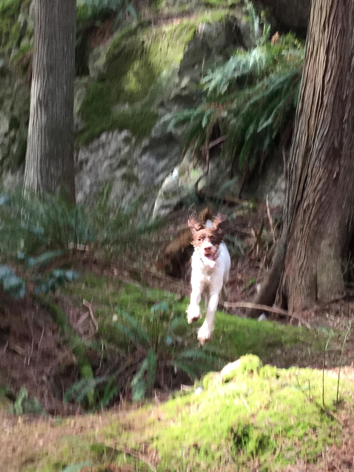
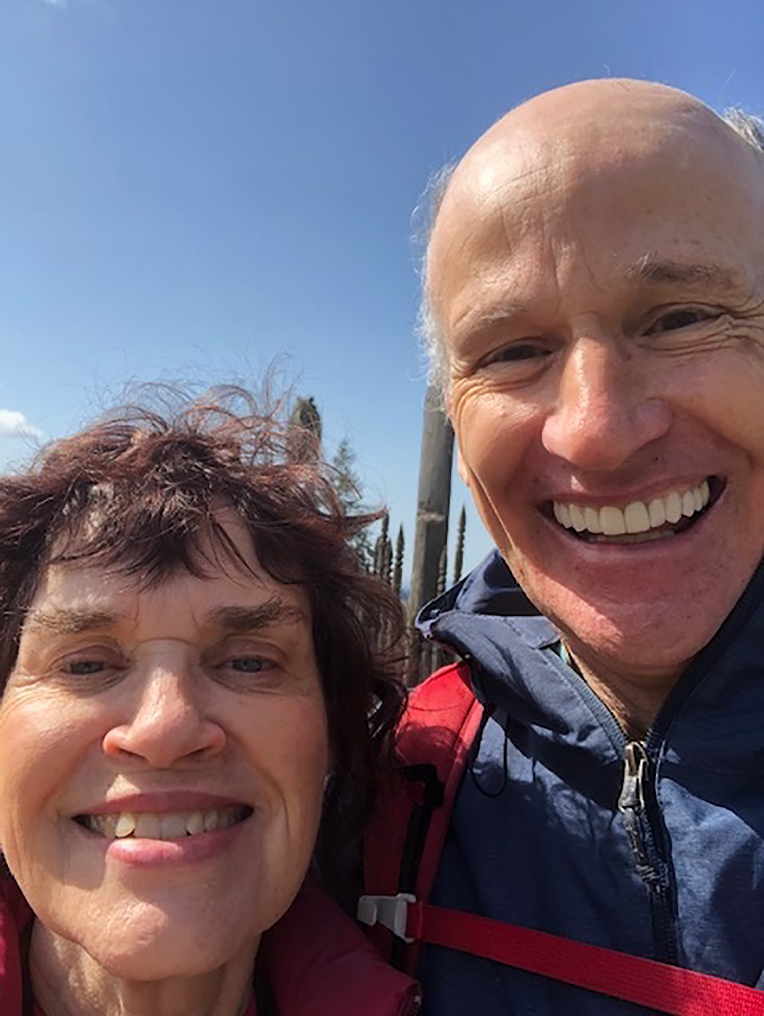
Kathy, Maisy, and Donny B: Deep Cove trails
We set out on Easter Sunday afternoon to explore some trails around Deep Cove and to train for the upcoming Sun Walk in 2+ weeks.
After a starting “selfie” under a large lily, we walked up a local street and into an unnamed trail heading straight up in elevation. Since we were all alone on such a busy weekend, Maisy was set free to romp in the uninhabited forest.
Emerging onto Indian River Drive and looking for a drink, Maisy narrowly avoided a vehicular catastrophe so she was back on leash for the remainder. We found the Boundary Trail and the Cinnamon Trail leading to Old Buck Trail. Kathy, apparently feeling frisky, suggested we climb up to the Baden Powell intersection before descending. We eventually returned via the secret trail and Cove Cliff Road. 9.5 km overall, so a good dry run for The Sun Walk! Maisy slept until morning, having covered substantially more terrain than we did.


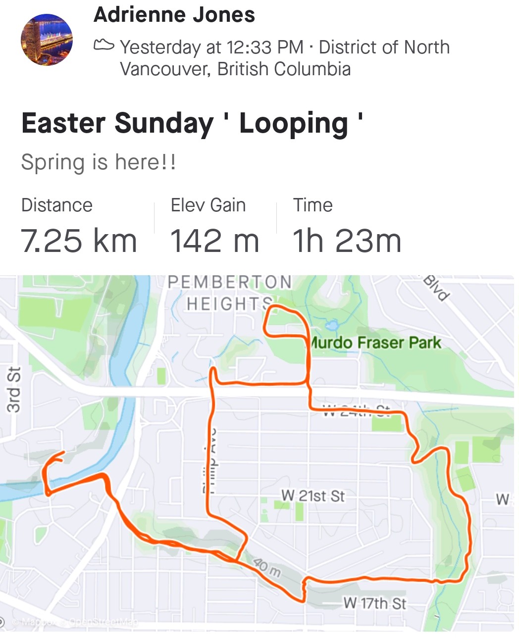
Adrienne: Bowser Trail Plus
My Easter Sunday “solo looping” this time was close by and enjoyable but distance limited by time constraints. But 7 km is always better than nothing. I chose and altered a route from the latest edition of 109 WALKS: Hike #17, BOWSER TRAIL PLUS. It involved quiet forest trails with minimal elevation, along with some local streets, and passing through small parks (that sadly did NOT have Easter egg hunts 😂!).
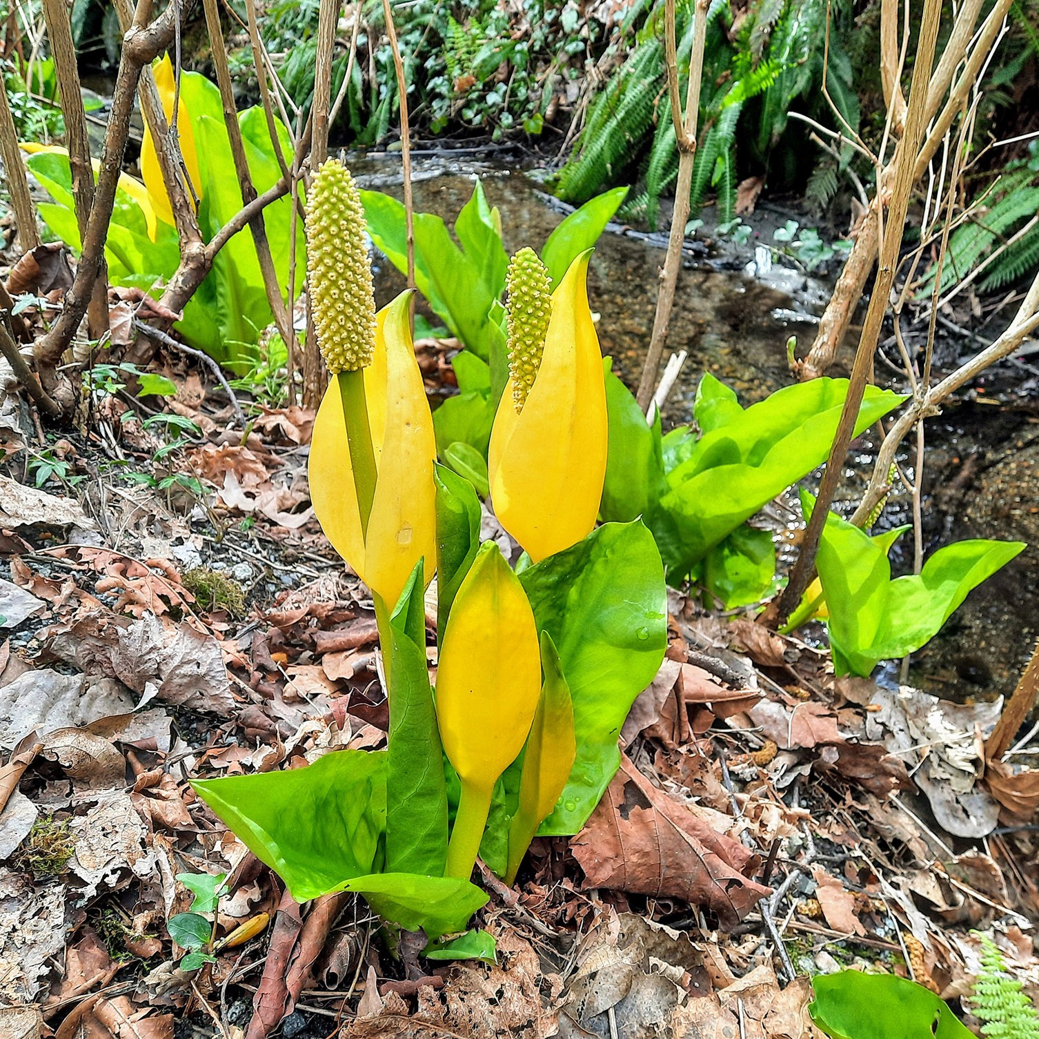
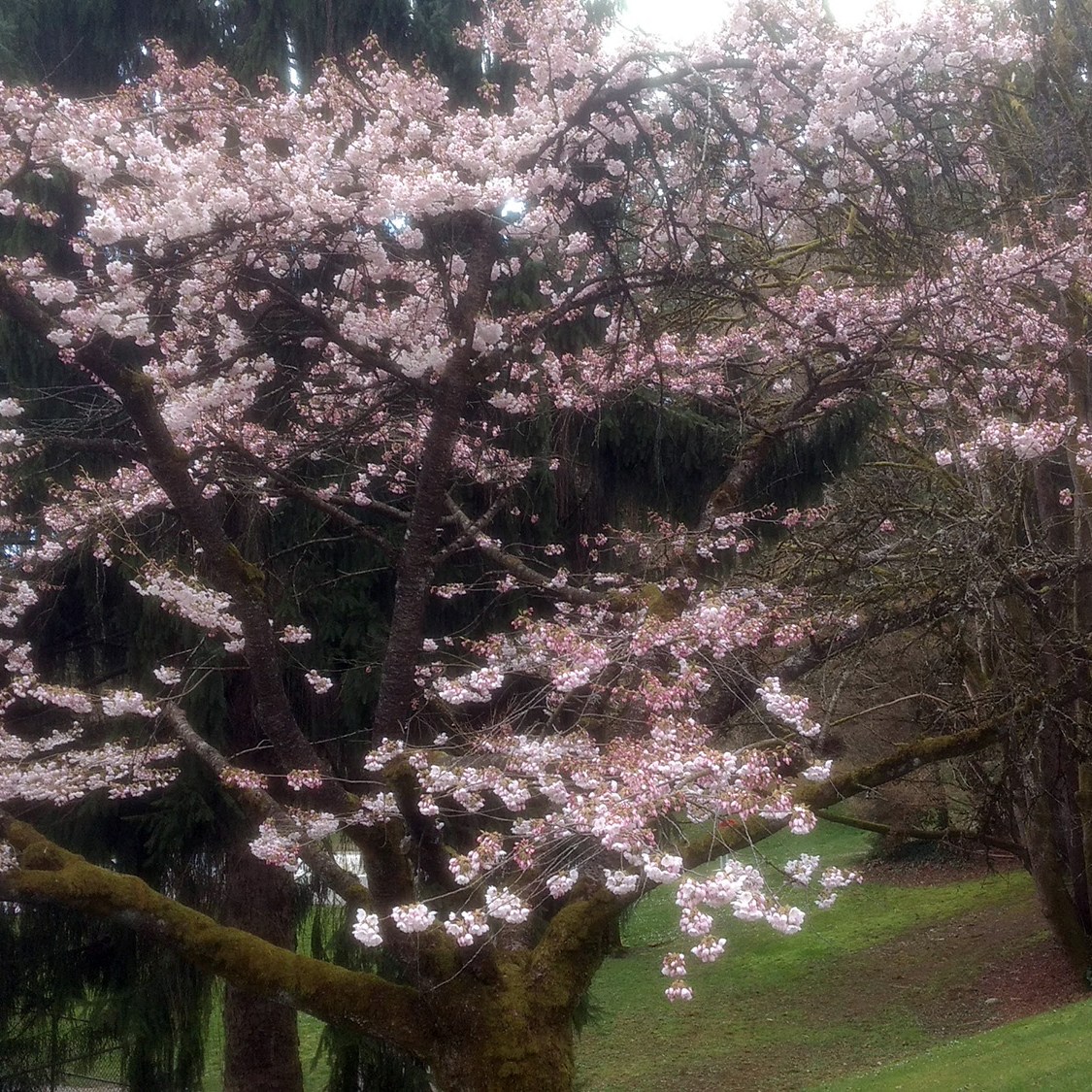
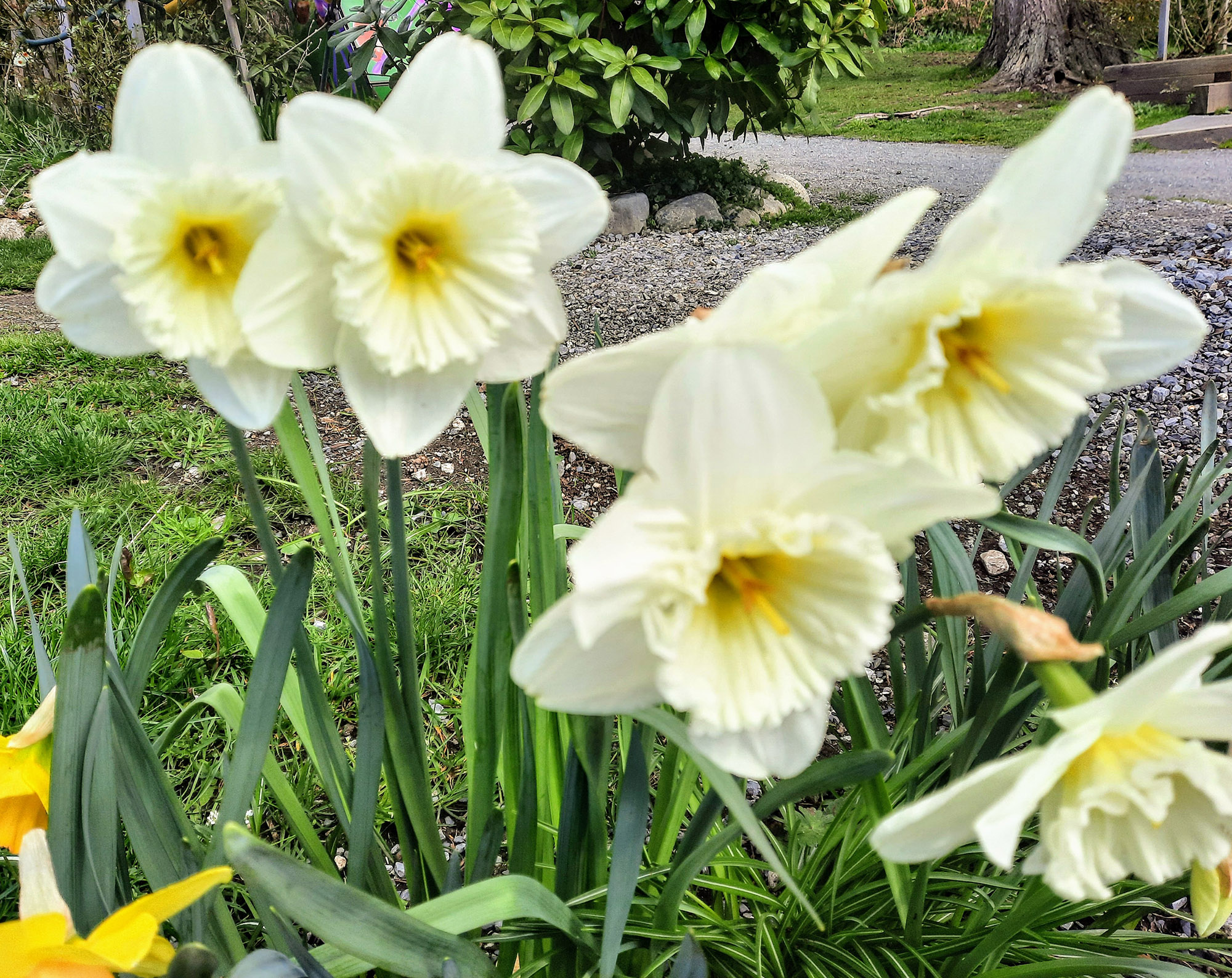
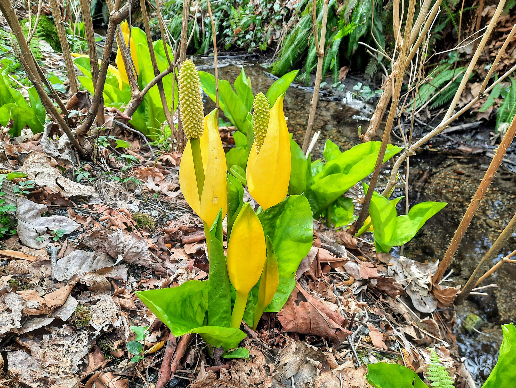
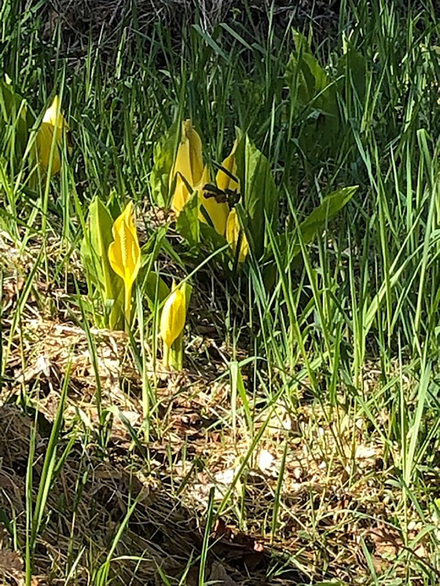
Decided SPRING is definitely here, especially seeing the skunk cabbage, as that is one of the first foods bears eat when they are out of hibernation.
And although Janet S. chose a broader loop nearby with some common ground, we did NOT run into each other!
Look forward to seeing you all hopefully next month.
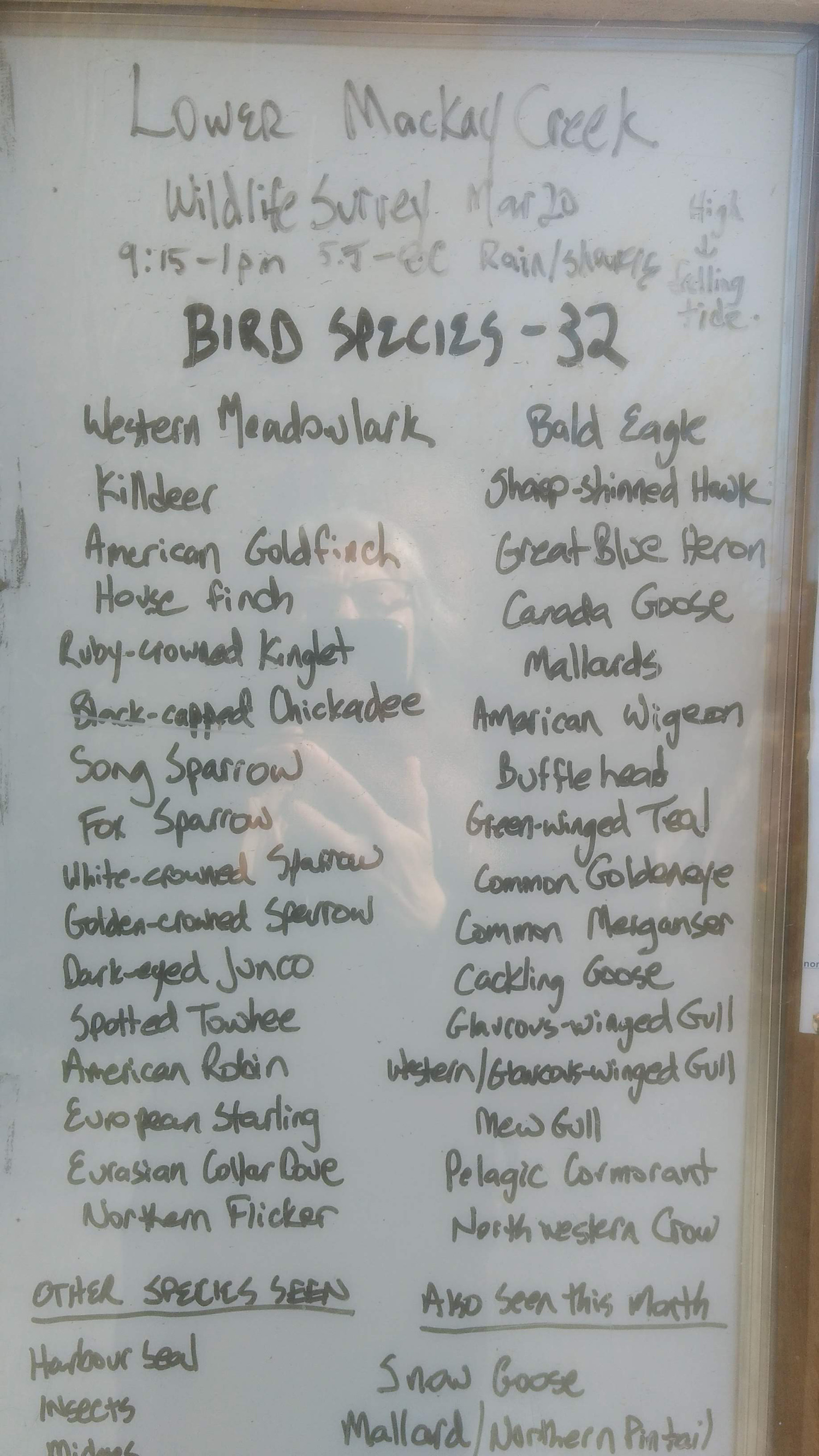
Janet S: McKay Creek and Mosquito Creek
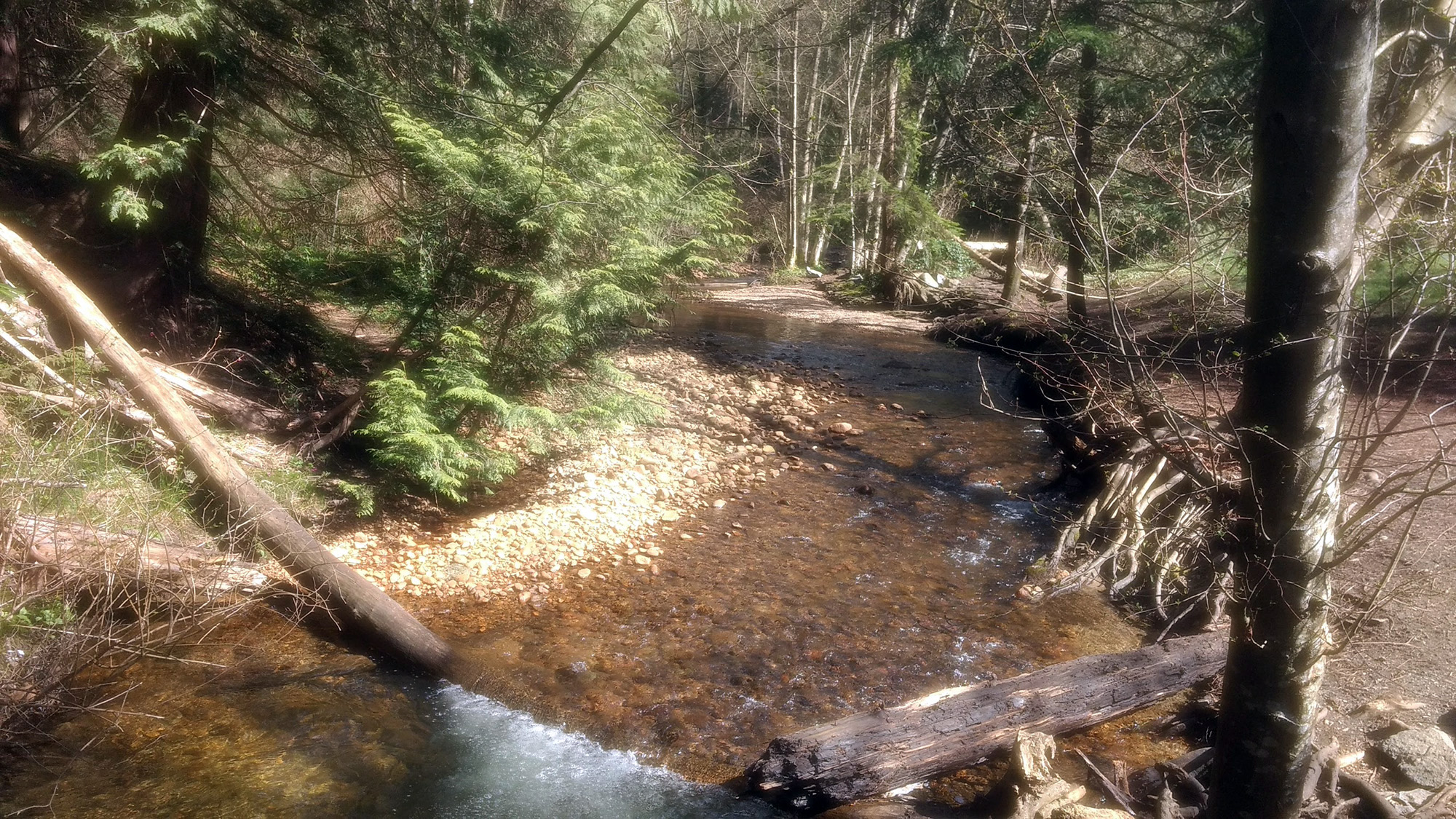
I walked up McKay Creek, past Edgemont Village and down Mosquito Creek on Sunday. It was very similar to a walk that we did last year, in our bubbles. There weren’t too many people on the trails. I got caught in a few showers, but otherwise it was a great day. And there were lots of signs of spring.

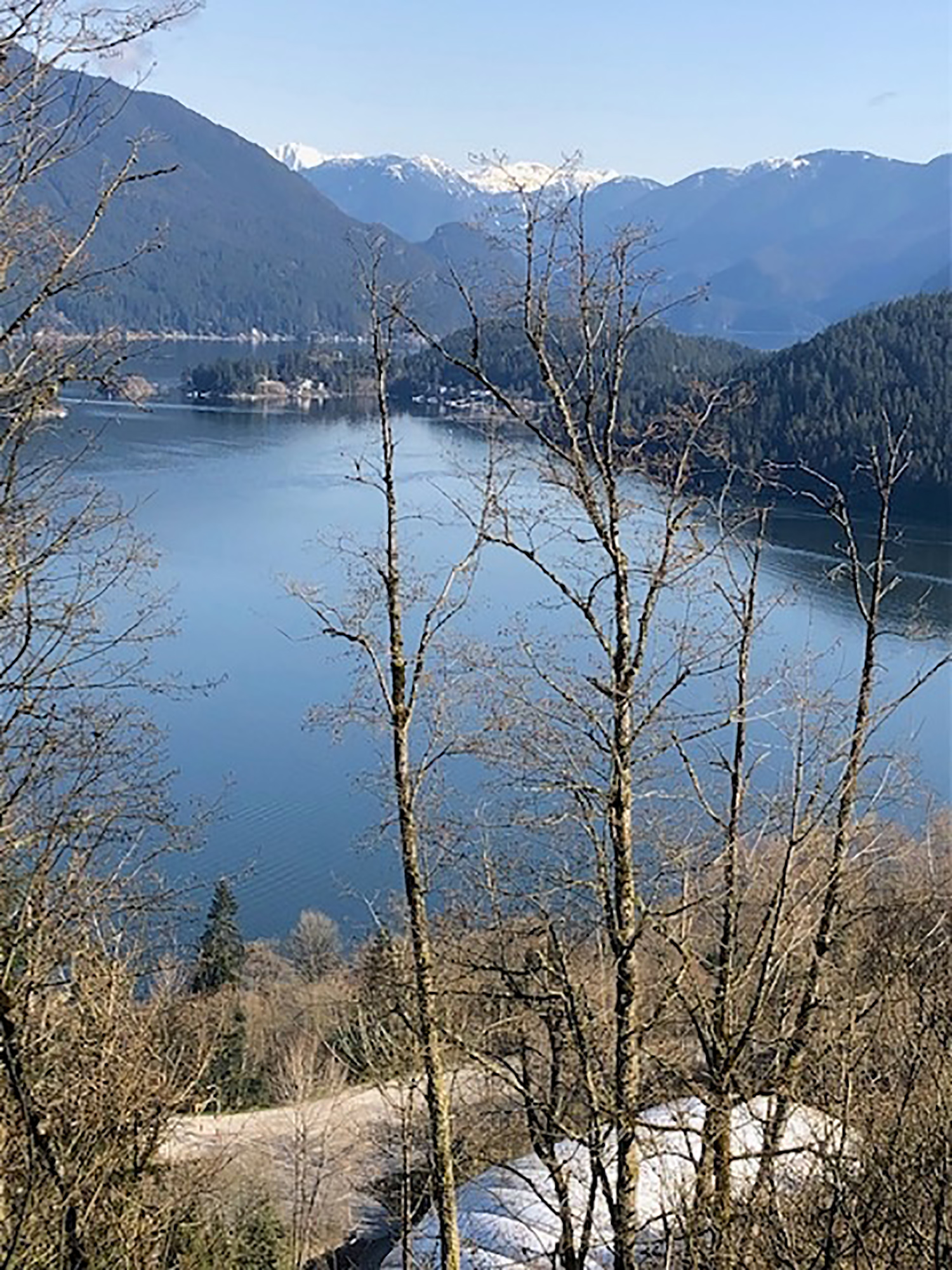
Gord and Joanne: Burnaby Mountain
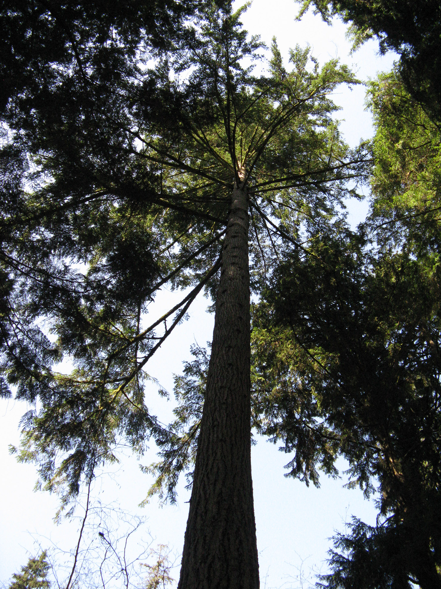
We decided to do a hike at Burnaby Mountain. It was a beautiful sunny morning — a bit on the cool side. We started on Pandora Drive and followed the Pandora trail up through the forest. At the junction, we turned left onto the Velodrome trail and went down a lot of stairs meeting other hikers, kids and dogs on the way up. After coming down, we turned right on Mountain Air trail, where we were deep in the forest — there were lots of information boards along the way which we stopped to read. They gave us details about the different species of trees we were encountering — cedar, Douglas fir and hemlock — the big three trees so prevalent on the West Coast.
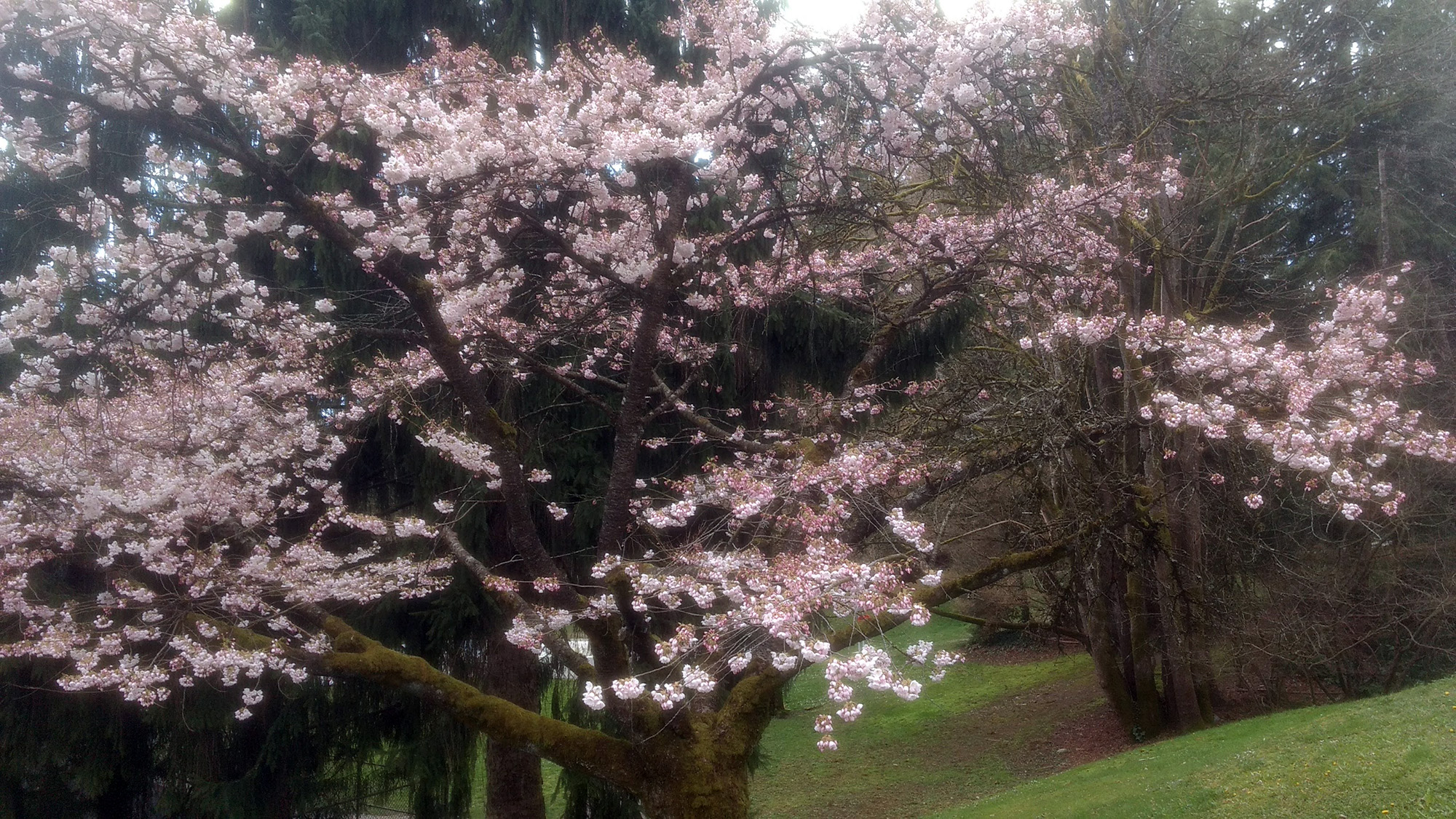
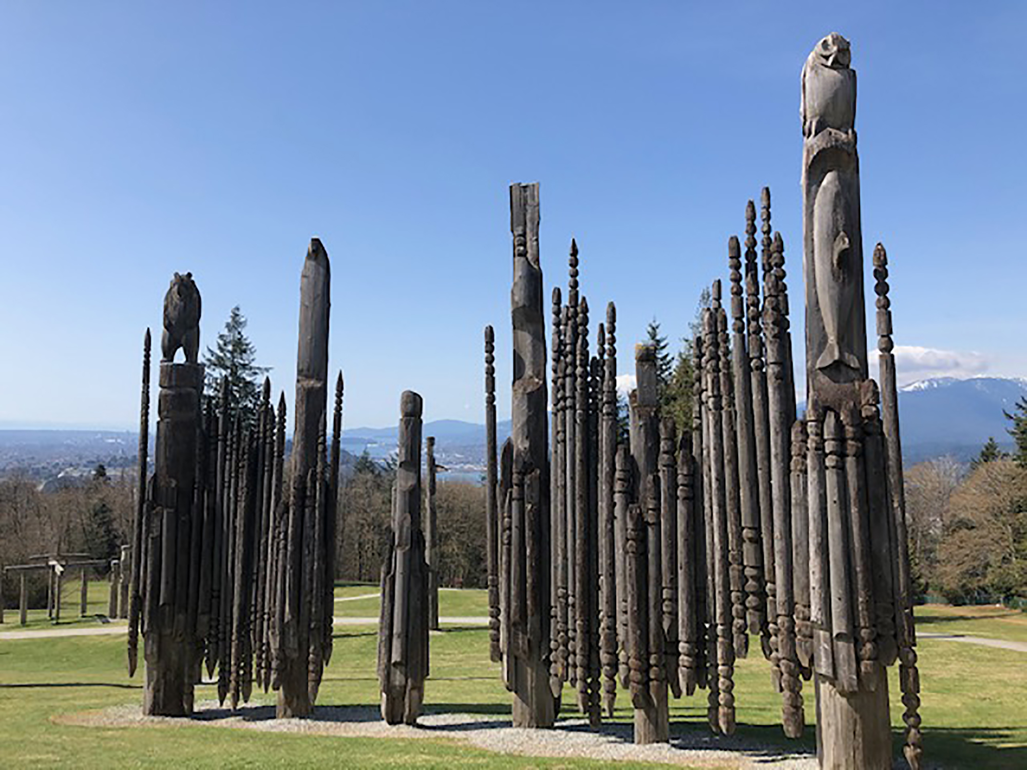
As we got onto the Barnet Trail, we came across a bike circuit for kids — full of ramps and hills — very busy — and then we turned right on the Trans Canada Trail. We followed the Trans Canada up, initially out in the open and then we plunged deep into the cool forest — ferns and running water on either side of us and we were just under SFU. Upon reaching the top, the views across to the North Shore were magnificent, there were spring flowers in bloom, very unusual totem poles to see (a gift from a sister Japanese city to Burnaby) and people and kids everywhere. Then we headed across the great lawn and picked up the Pandora trail which took us back to the car. A great day! Total distance about 12 km.


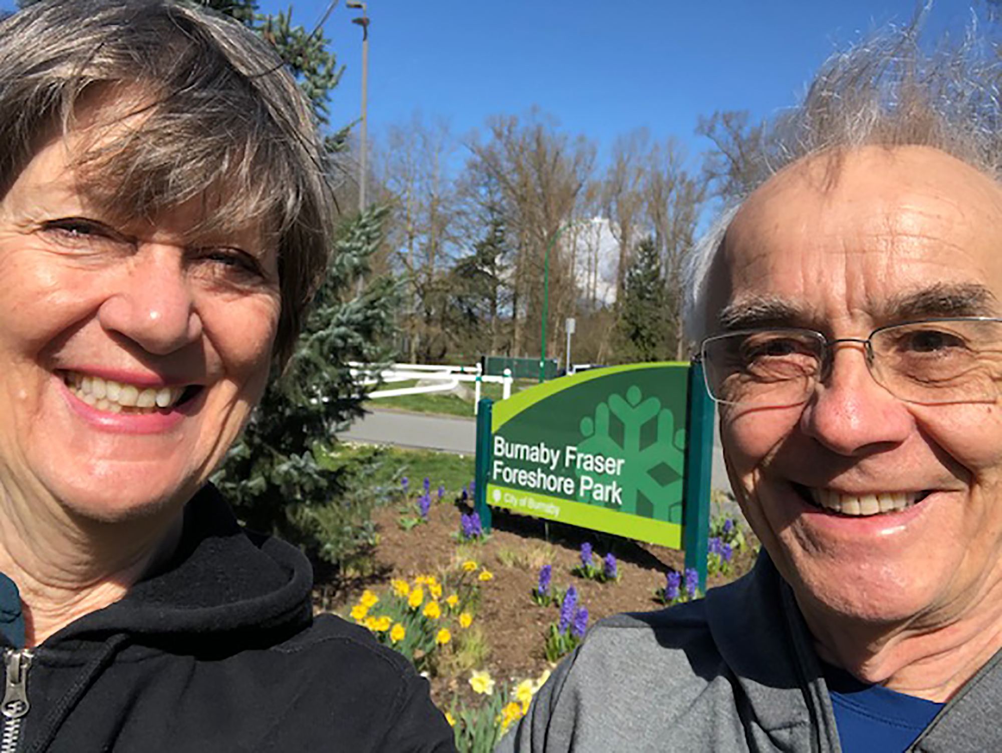
Alan and Julie: Burnaby Fraser Foreshore Park
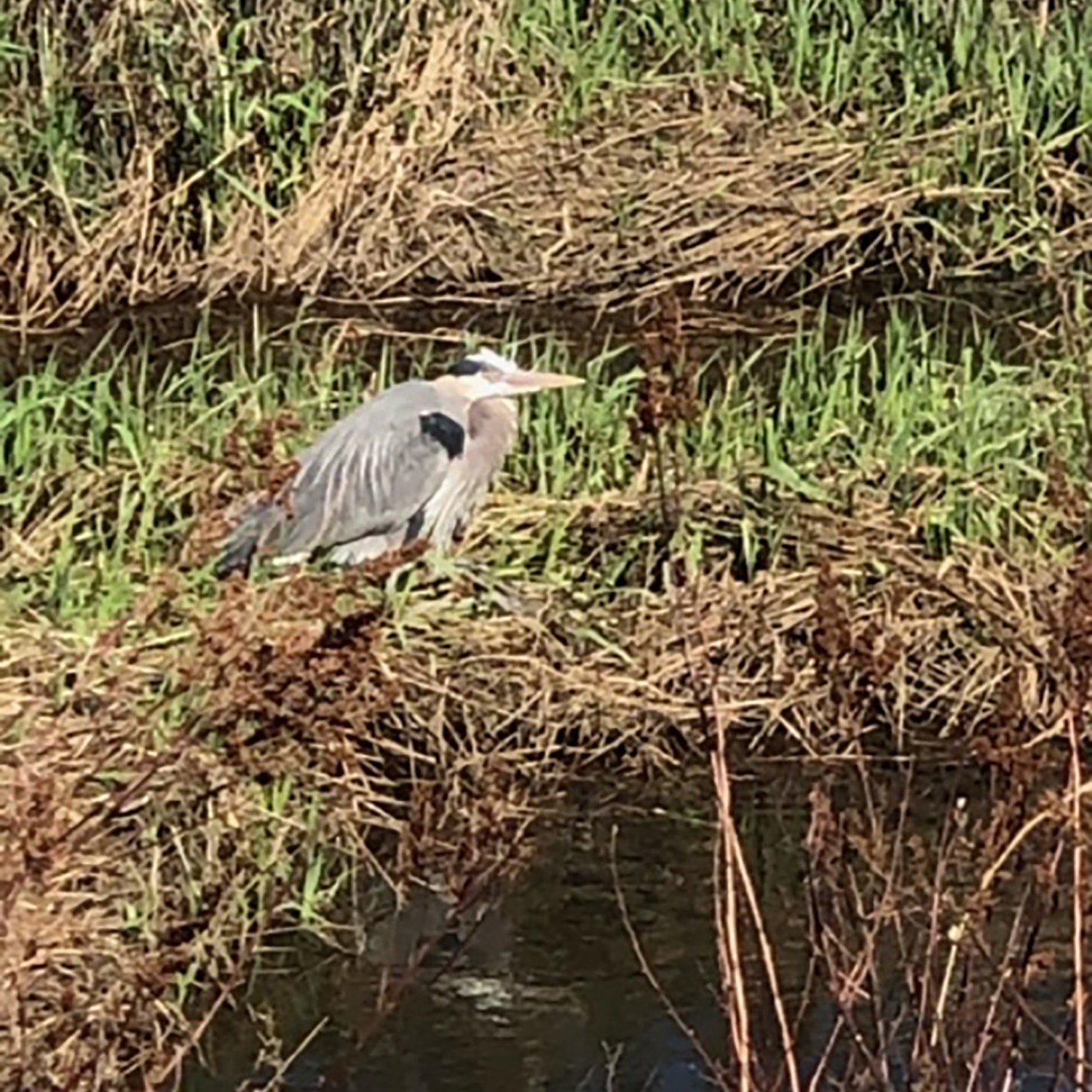
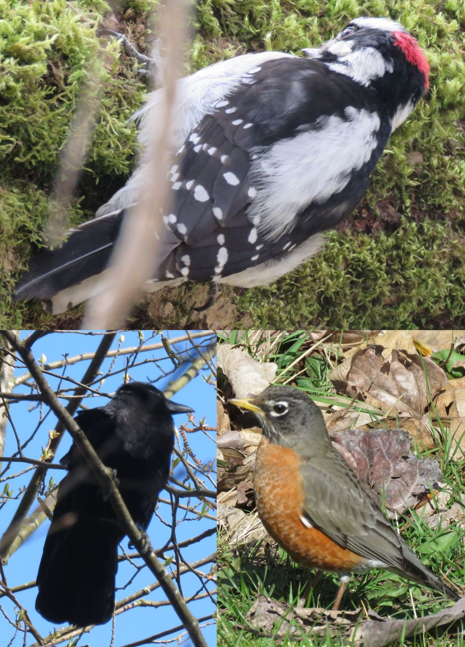
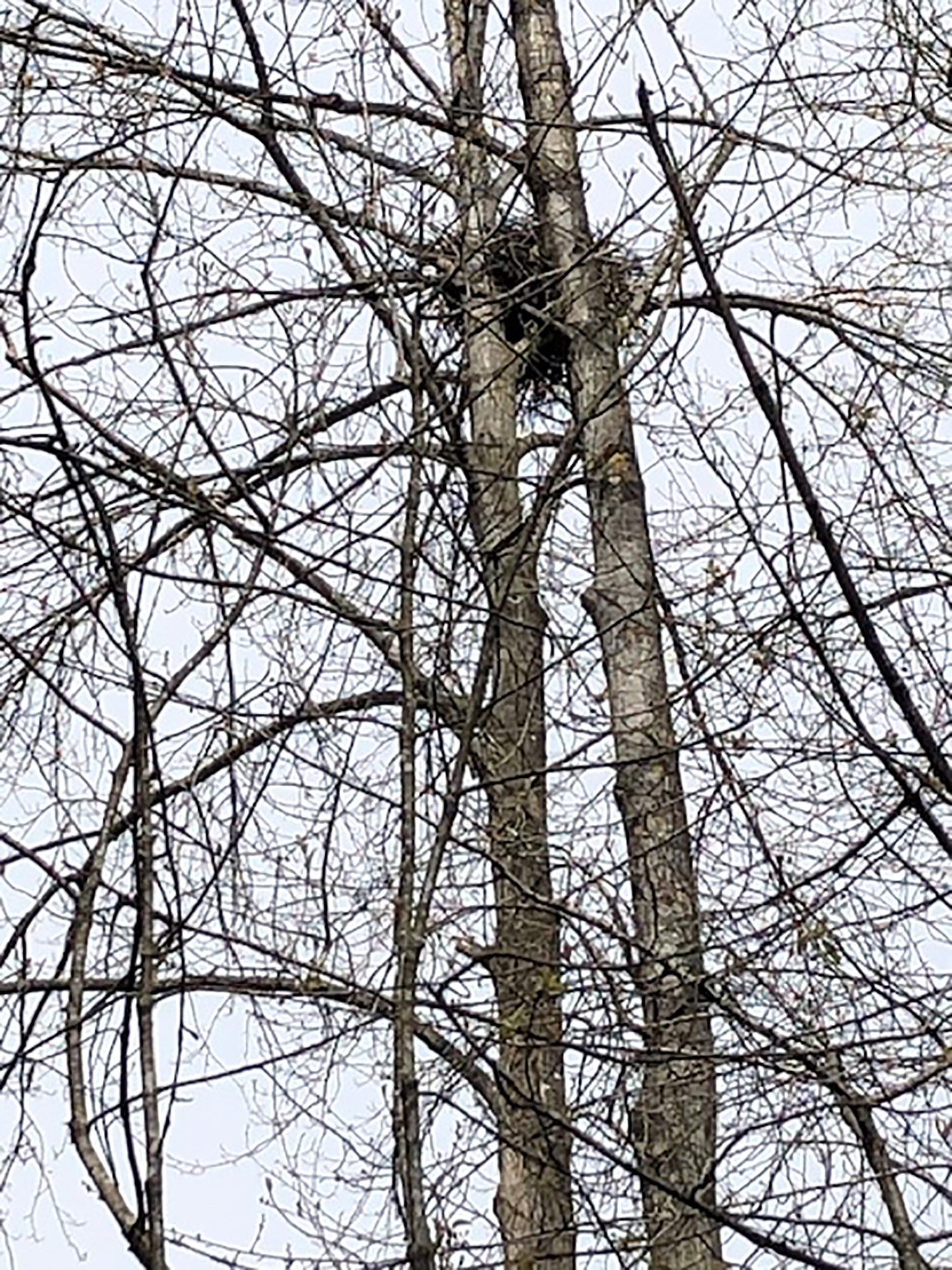
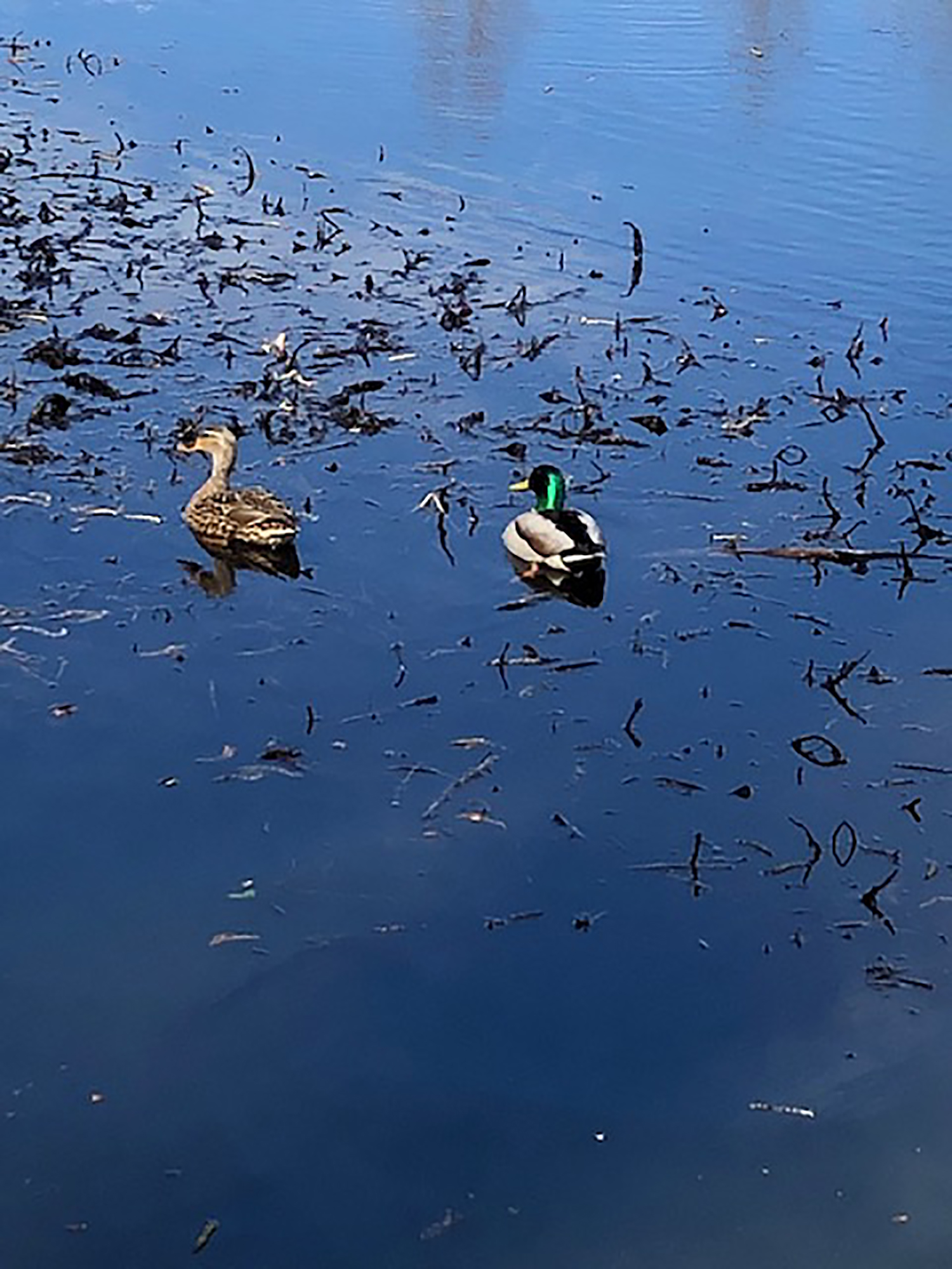
Alan and I parked our car at Burnaby Fraser Foreshore Park and set off up Byrne Creek to the ravine. We passed the famous eagle nest and noted many more bird species along the way, warning, paddling, observing, soaring, or plotting.
After crossing both Marine Way and Marine Drive, we entered the Byrne Creek Ravine trail just up Southridge and ventured up the east side. We quickly climbed to a precipitous height above the creek below, discovering a village of fairies’ doors and historic remnants of settlement, coming out at City in the Park, south of Edmonds.
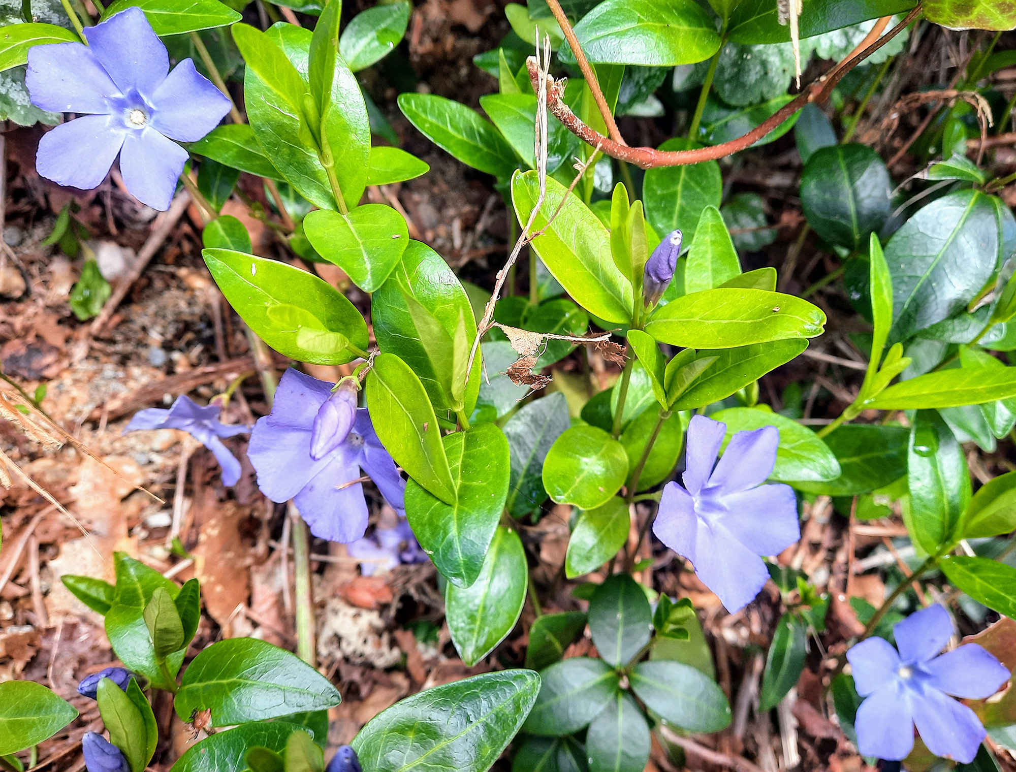
The west trail down brought us to the water with hardly a soul in sight, full of periwinkles, cedar, and ferns, silent as forests can be in the middle of a City. Realizing we had lost the trail, and yet forging on, we scrambled across fallen logs, up boggy spring-fed trails of skunk-cabbage, and finally made it to the top and proper trail. We continued downhill to the bottom of the creek again, but this time emerged into the sunshine of traffic and happy cyclists. We finished our 14 km walk by completing the foreshore trail to Boundary Road and back to the parking lot.


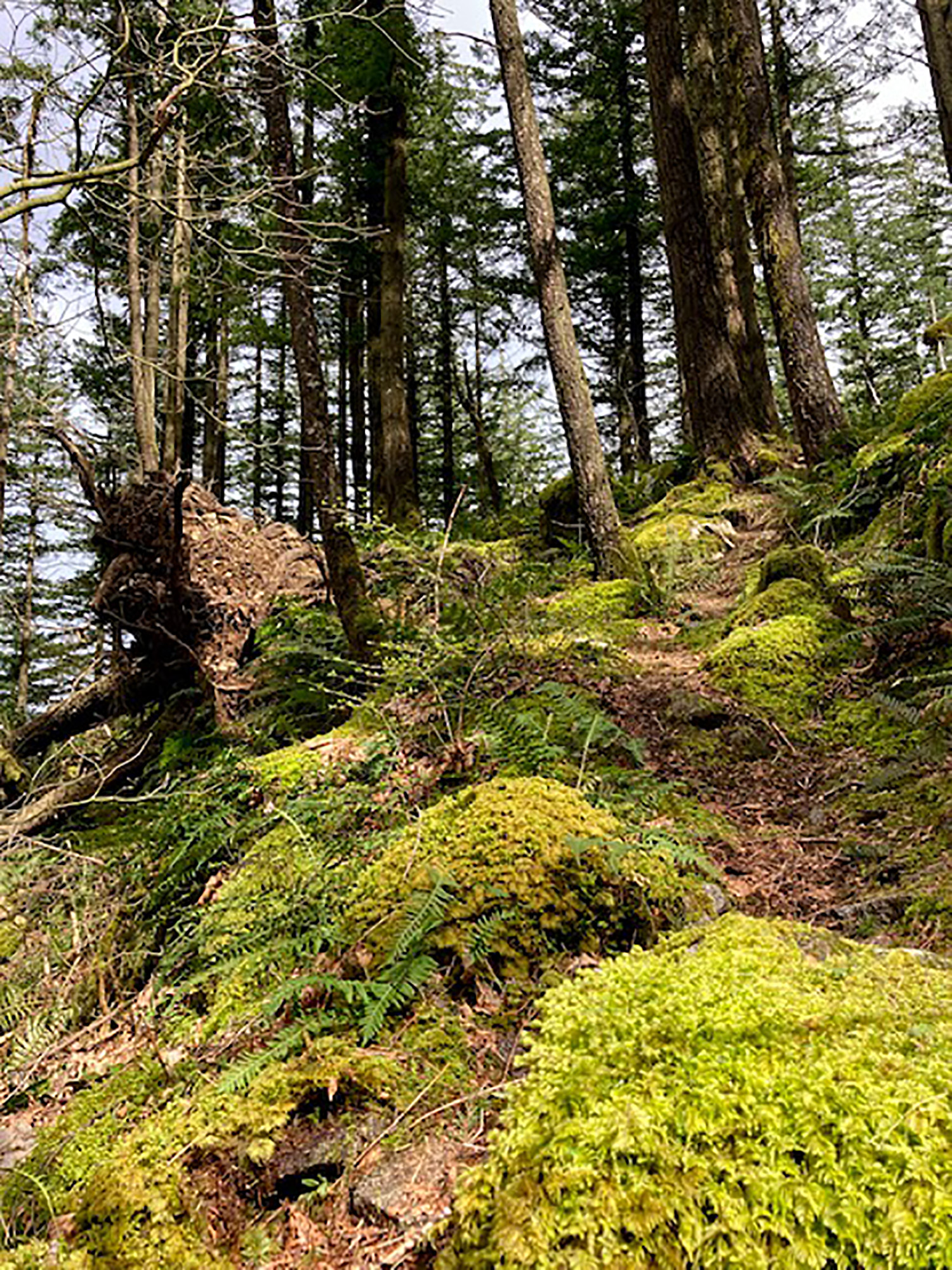
Carolyn: Landstrom Trail
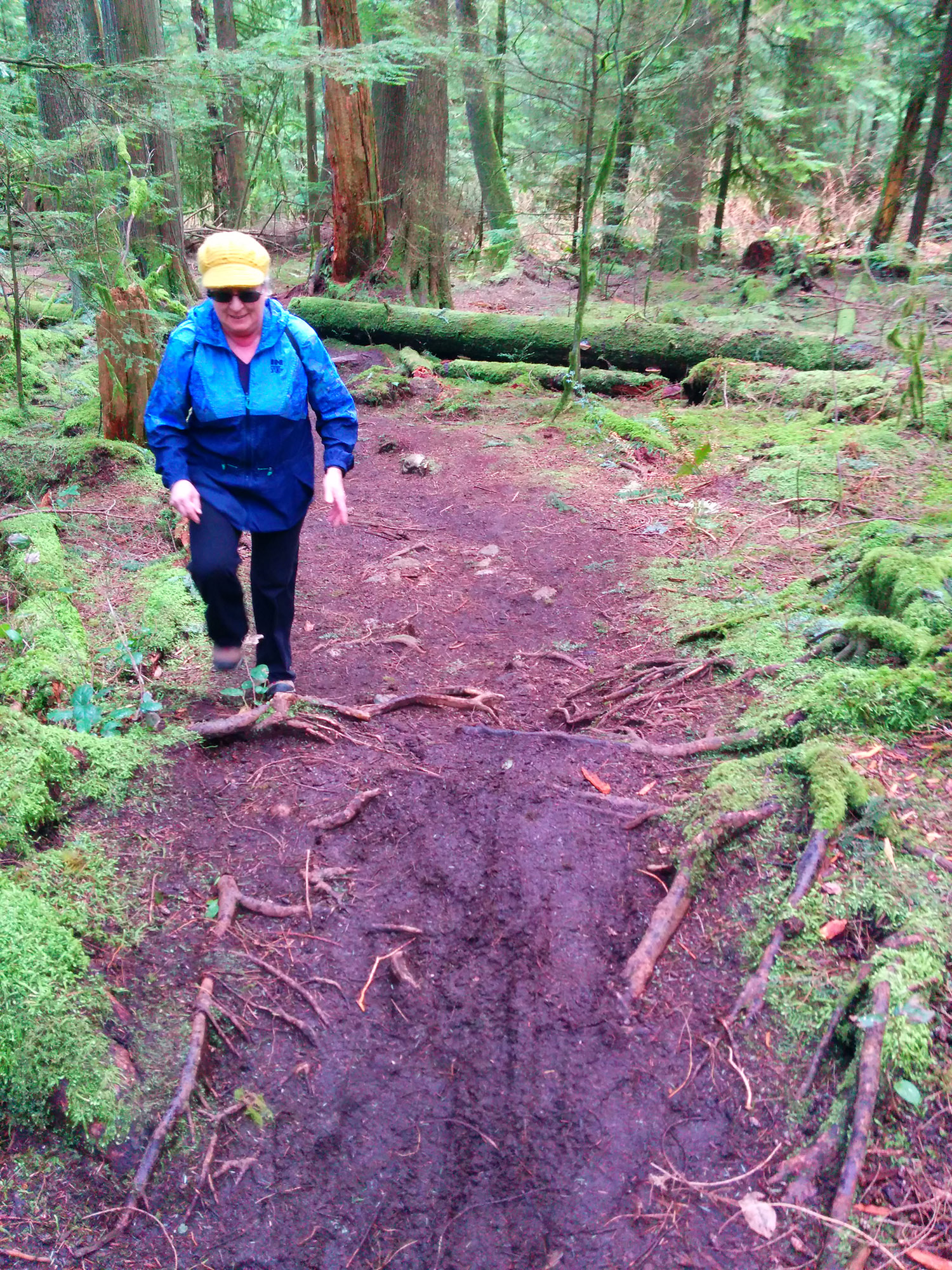
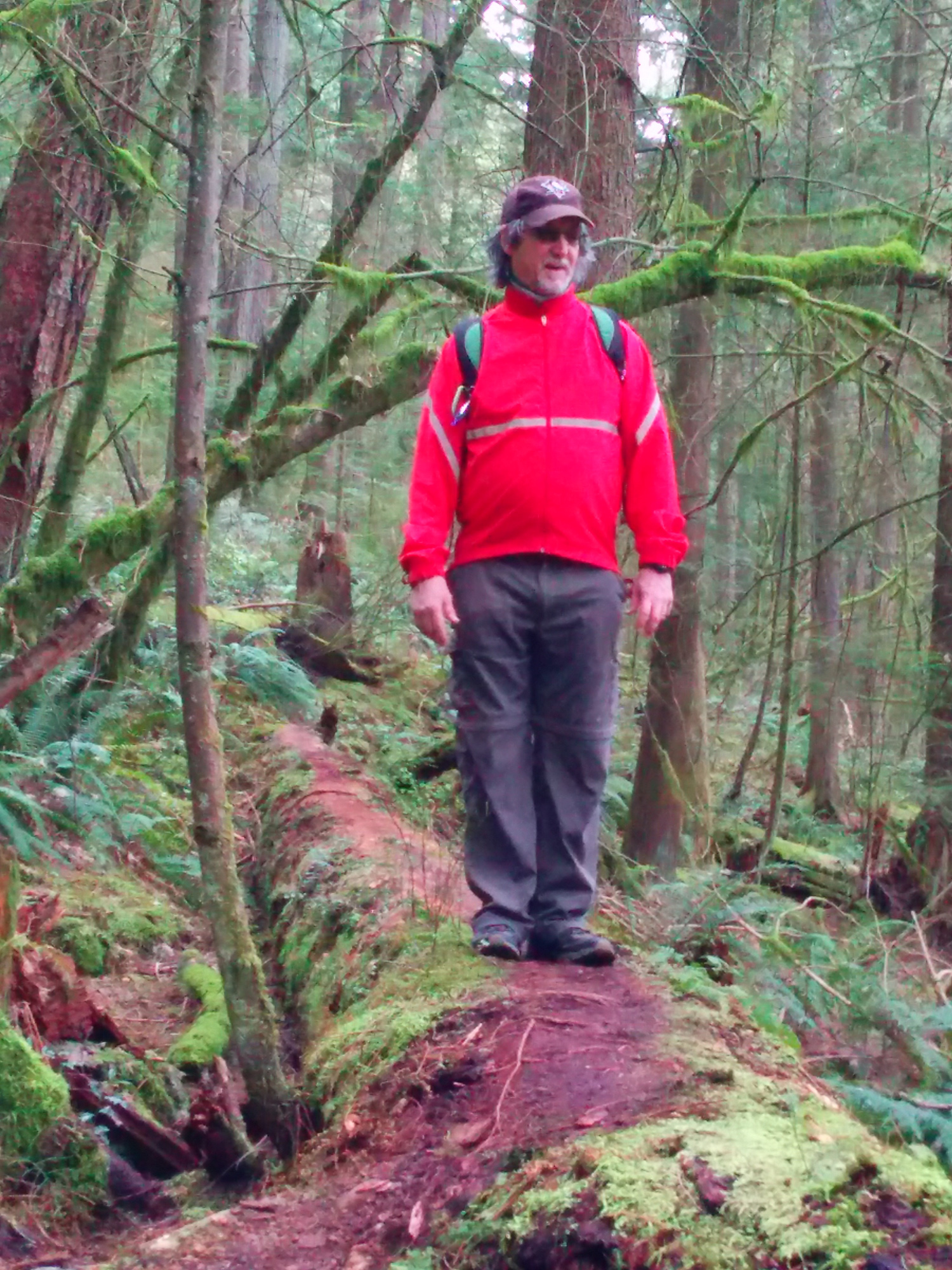
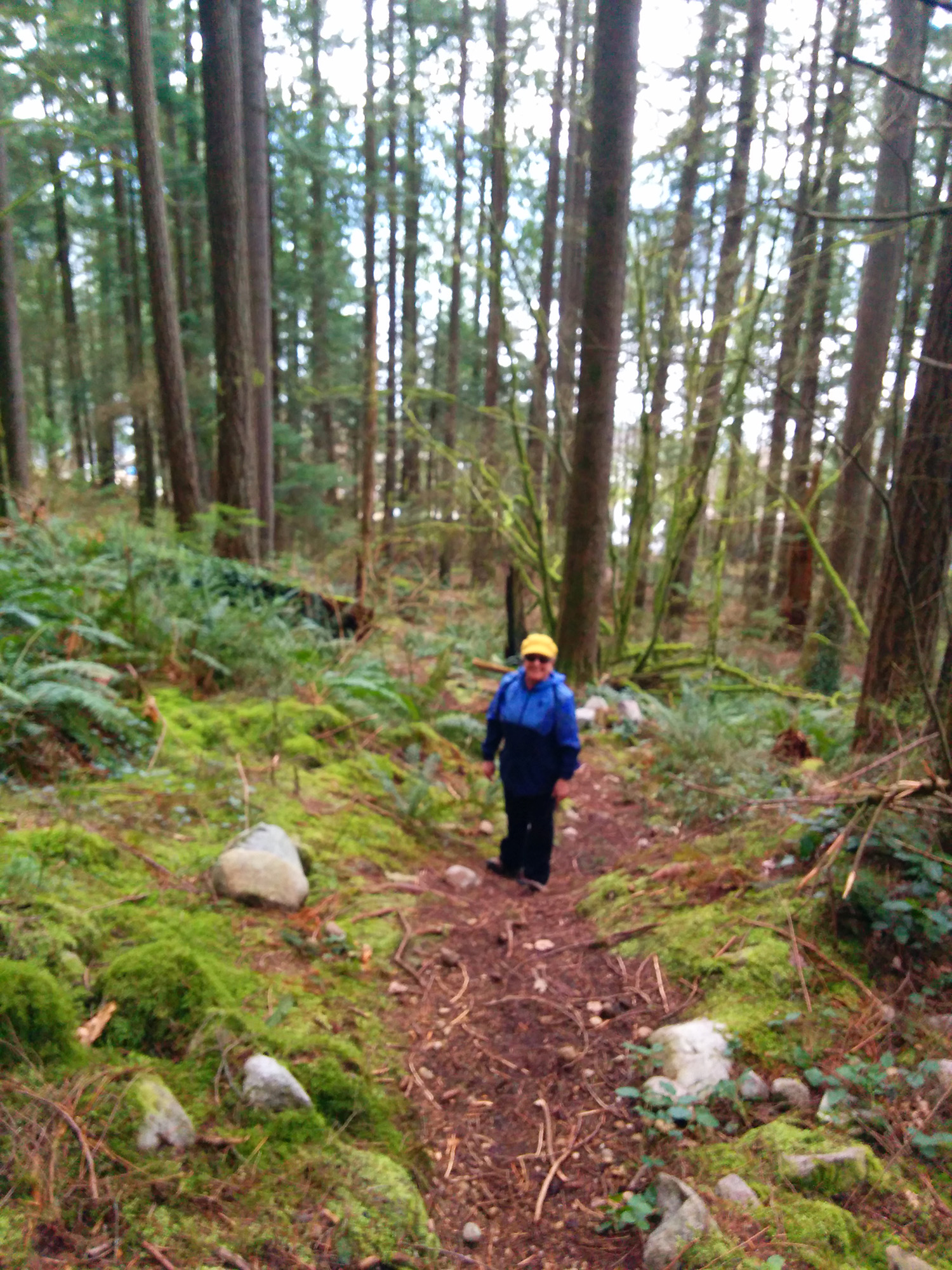
Of the Valley Loopers, one lively Looper headed for the Landstrom Trail (while two leisurely Loopers stayed home 😂). The trail is less than two km west of Hope on the #7 Highway.
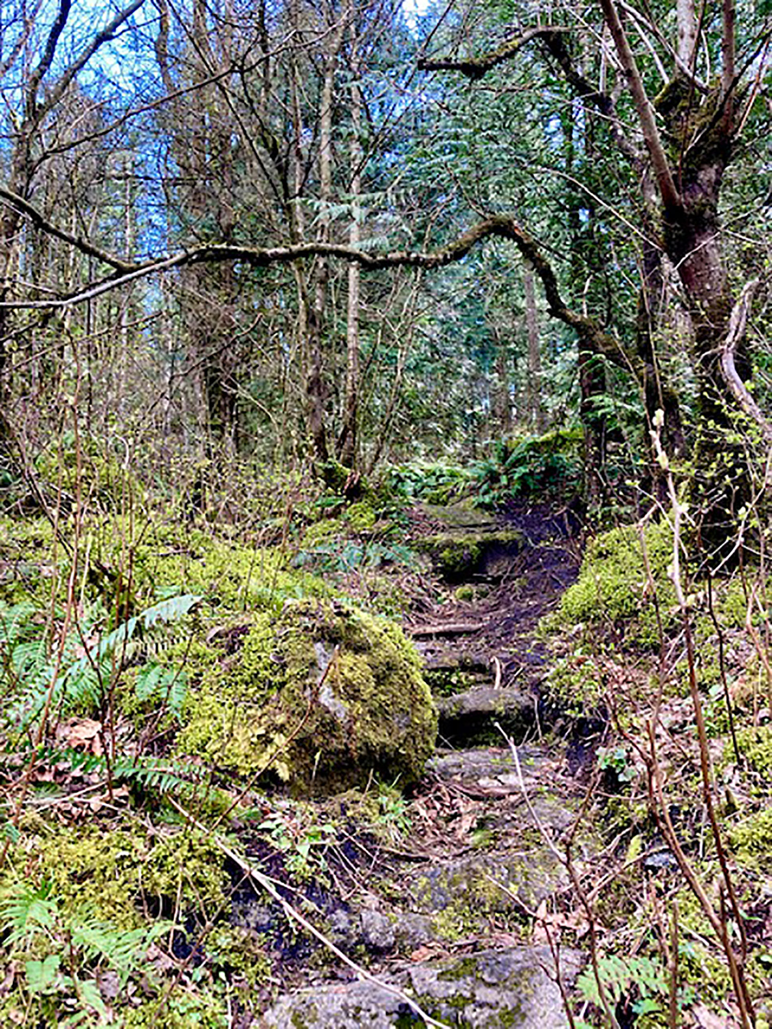
After crossing the railway track, one is enticed to follow a rustic, rock staircase, under an arch of gnarly tree branches, along a little stream to a forested path — one going straight ‘up‘ and one going to the right (parallel to the tracks). Don’t be fooled, stay left and go straight up because your heart and knees will be the better for it.
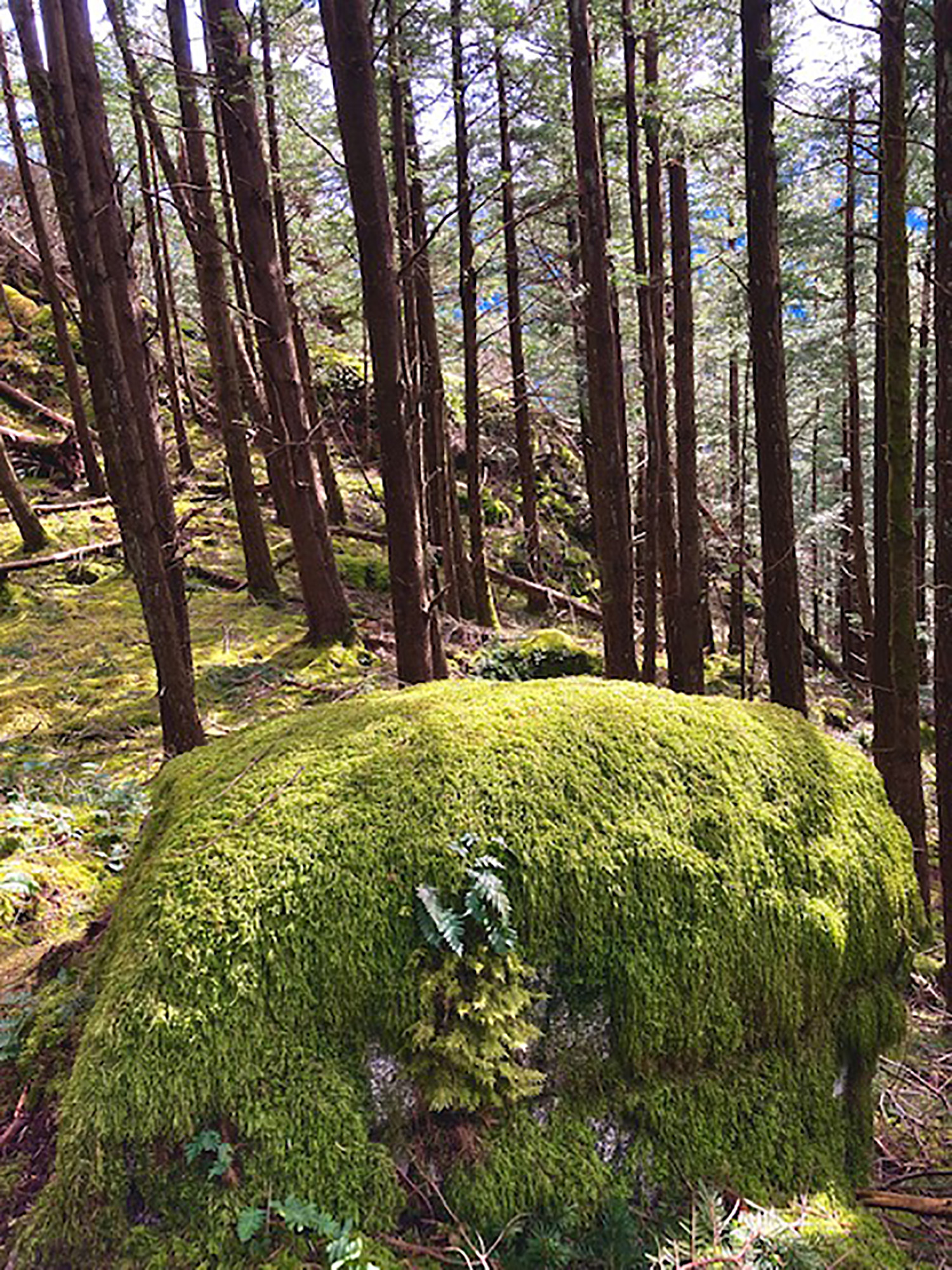
Also, the lush, vibrant, spring green of the moss covered rocks and hillocks delights the senses.
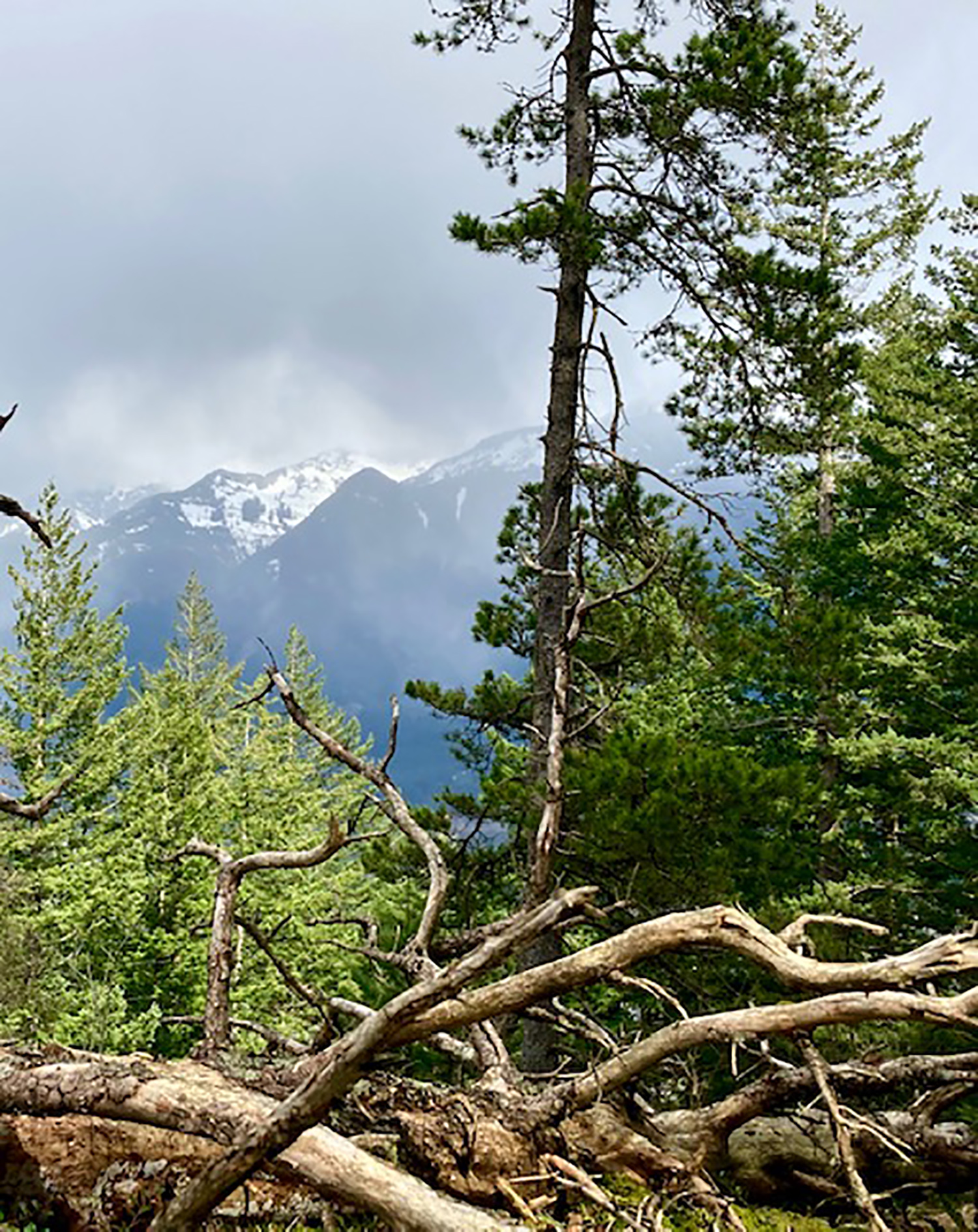
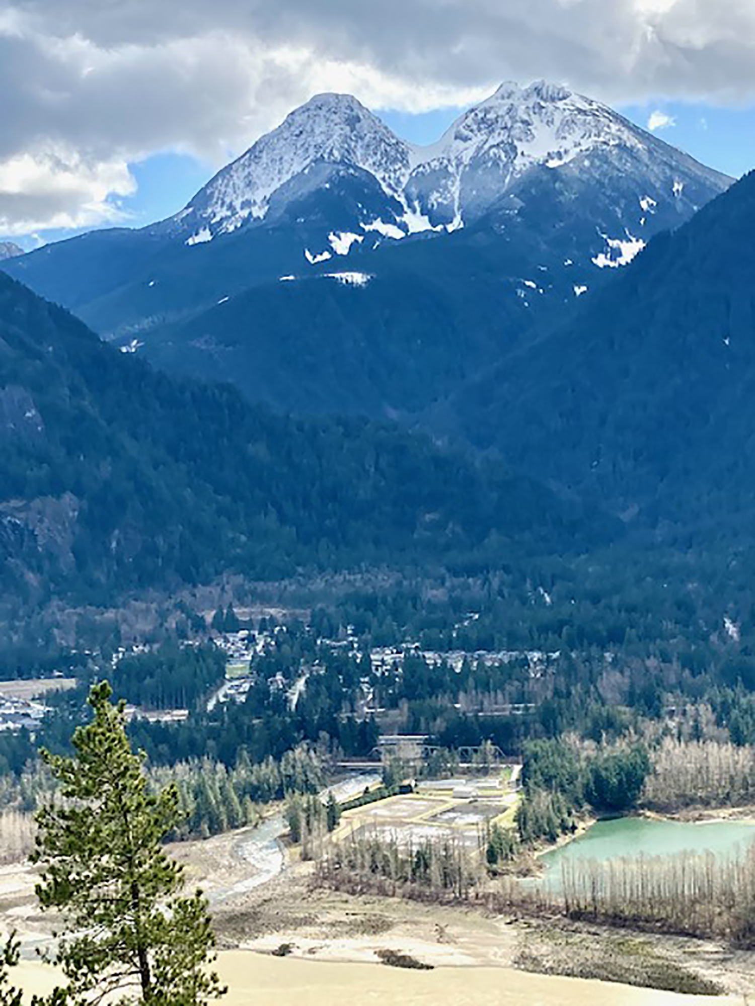
Arriving at the top, one is rewarded with a view east to the Cascades and a glimpse of Mt. Ogilvie, the sentinel of Hope. Sunday, it was shrouded in a sudden incoming spring shower.
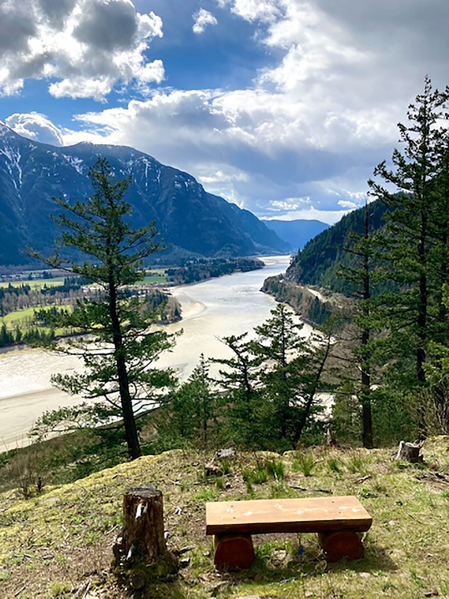
Turning west to walk along the ridge, under the brief sprinkle of raindrops, the path led to the next view point on the far west end. There, a lookout provides a panorama of the Silver Creek area of Hope and a chance to watch gliders ascend and descend from the grassy airstrip as well as a view of the mighty, silted Fraser River as it wends westward.
This spot is perfect to break for a lunch or if later in the afternoon, a picnic of wine and appies before heading down the trail. This Looper enjoyed a spot of tea, chocolate and sunshine.
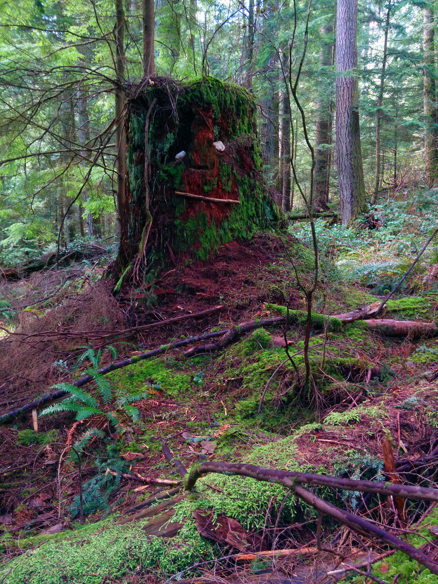
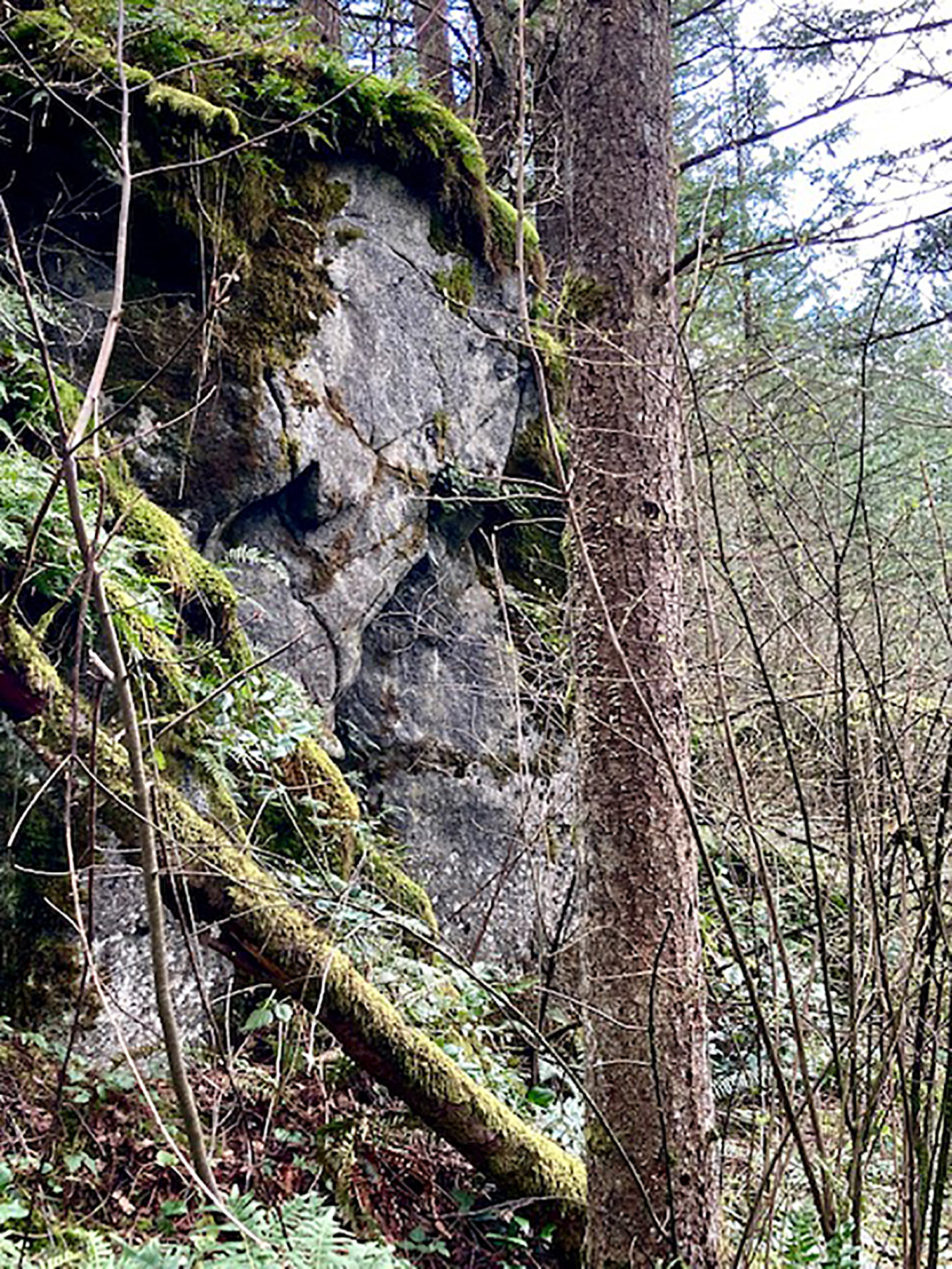
The route down includes more geographic delights including many sun-dappled boulders and giant moss covered cliffs, including ‘the Watcher’.
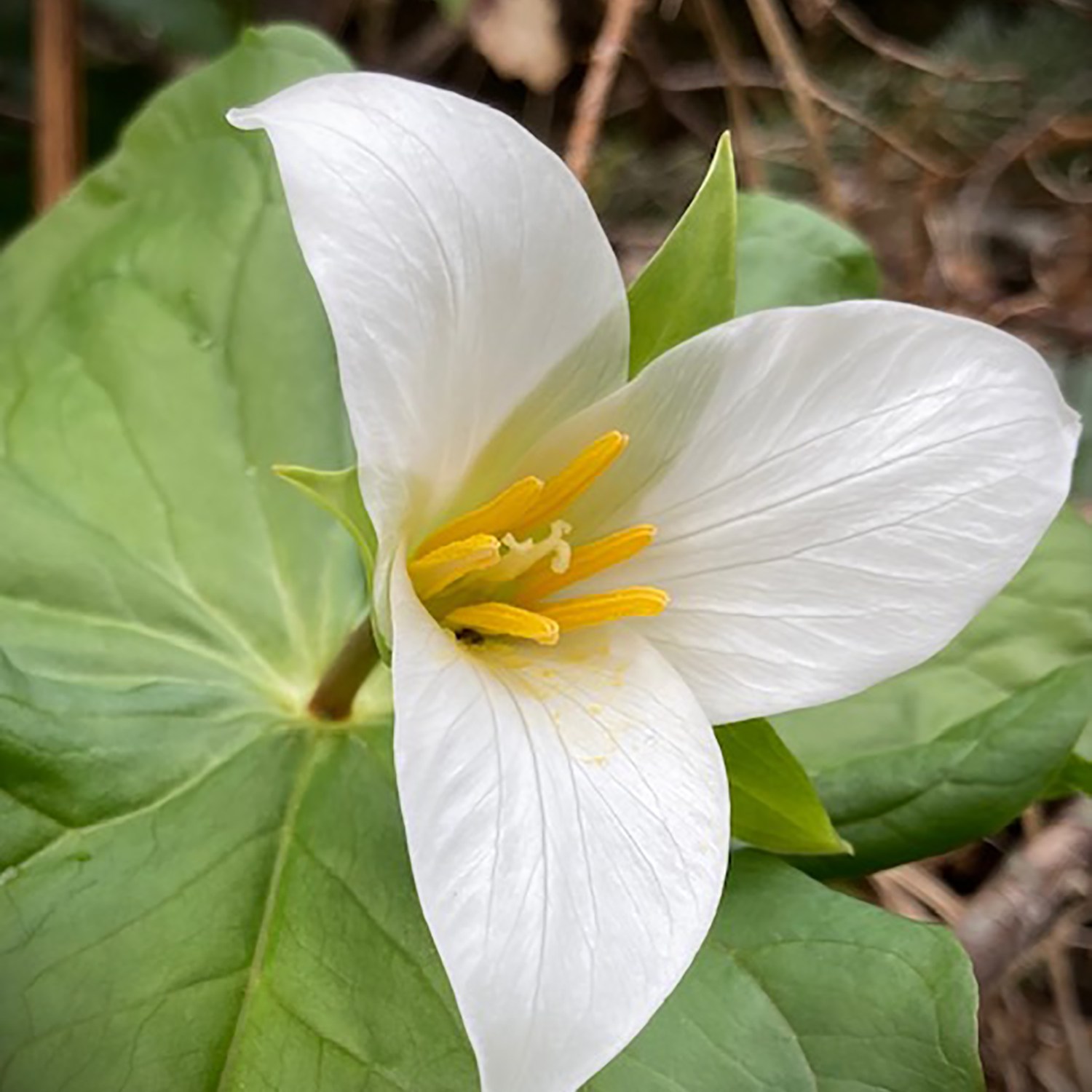
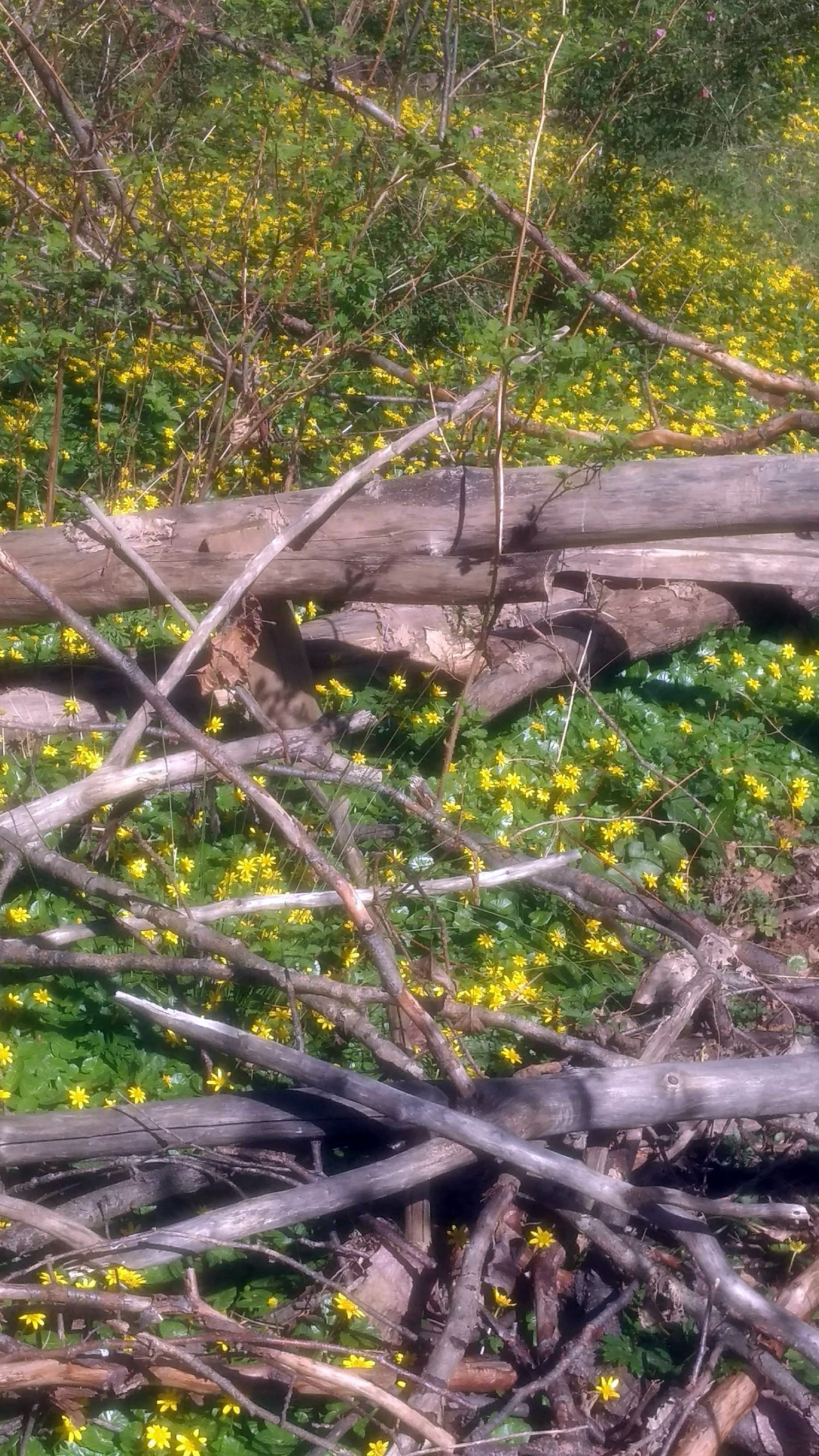
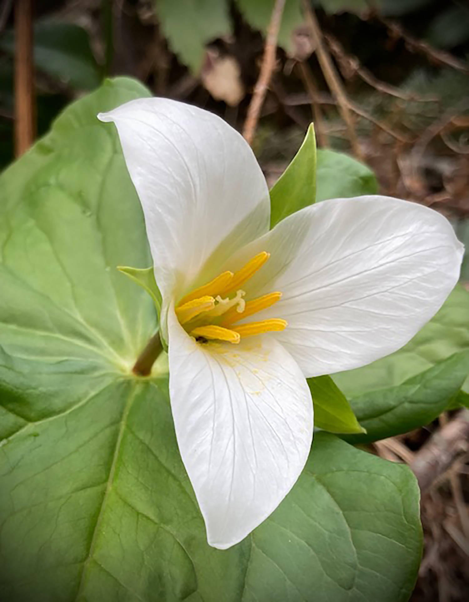
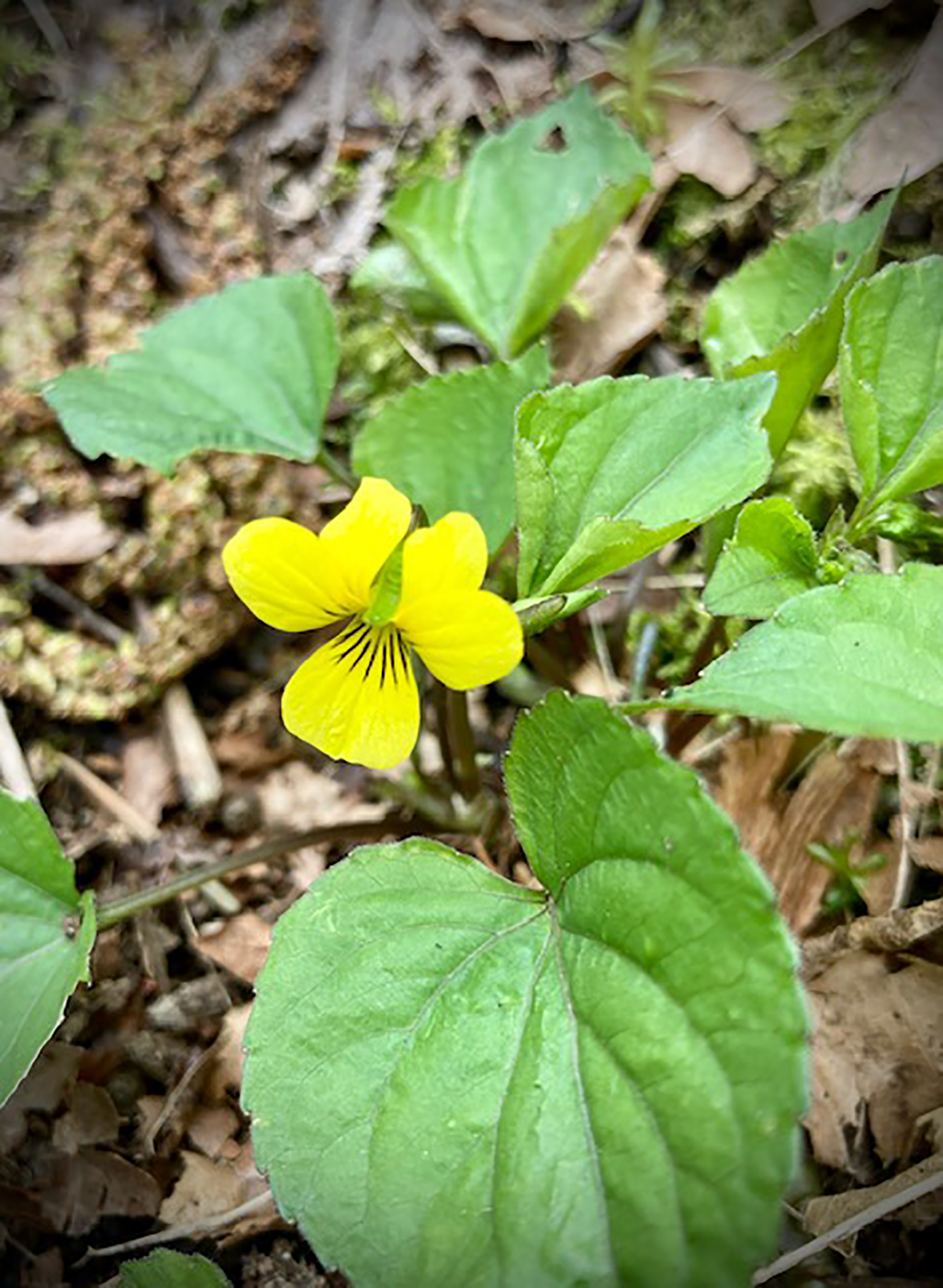
Also a treat were the first spring wild flowers, trilliums and wood violets.
The entire loop is only one hour and 45 minutes as a hike through. But add time for photos, lunch or wine and appetizers, depending on the time of day. Let me know if you’d like a tour!
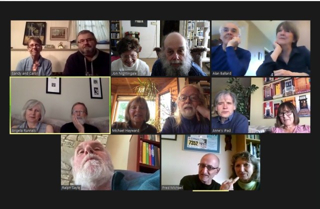
Zoom check-in
At the end of the afternoon, sixteen of us connected on Zoom to relate details of our walks, raise a glass, compare Easter chocolate hauls, and express our hopes to connect in person again before too long.
Editor’s notes
- Valley Looper Maurice is excused from participating this month, as he had just returned from a challenging three-day hike. (And no, of course he didn’t really need an excuse but it was a good one.)
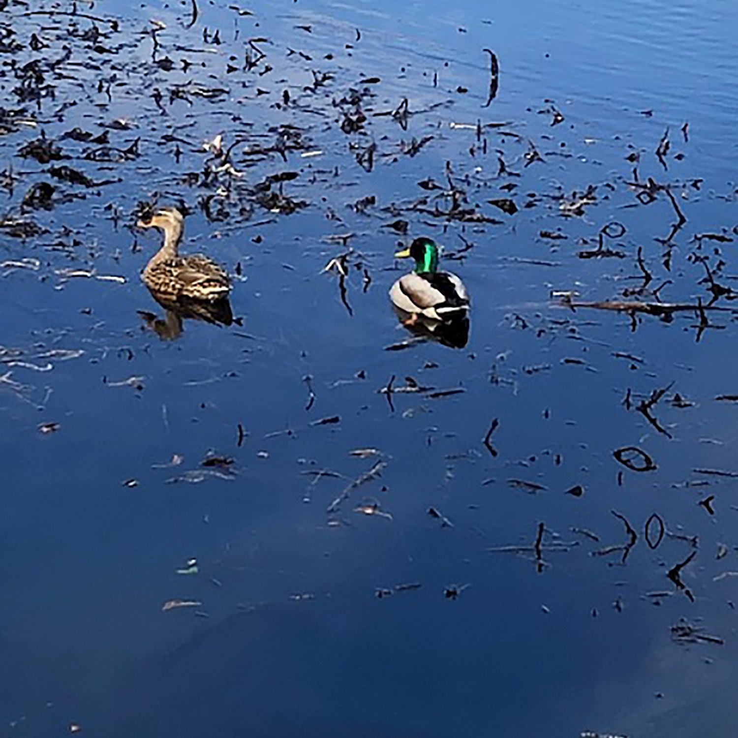
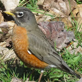
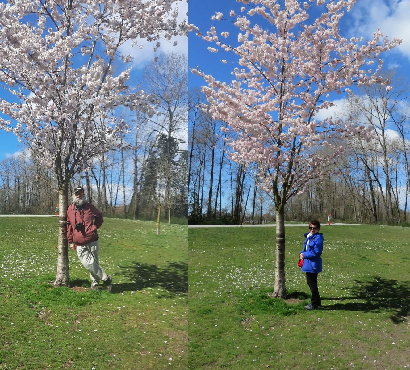
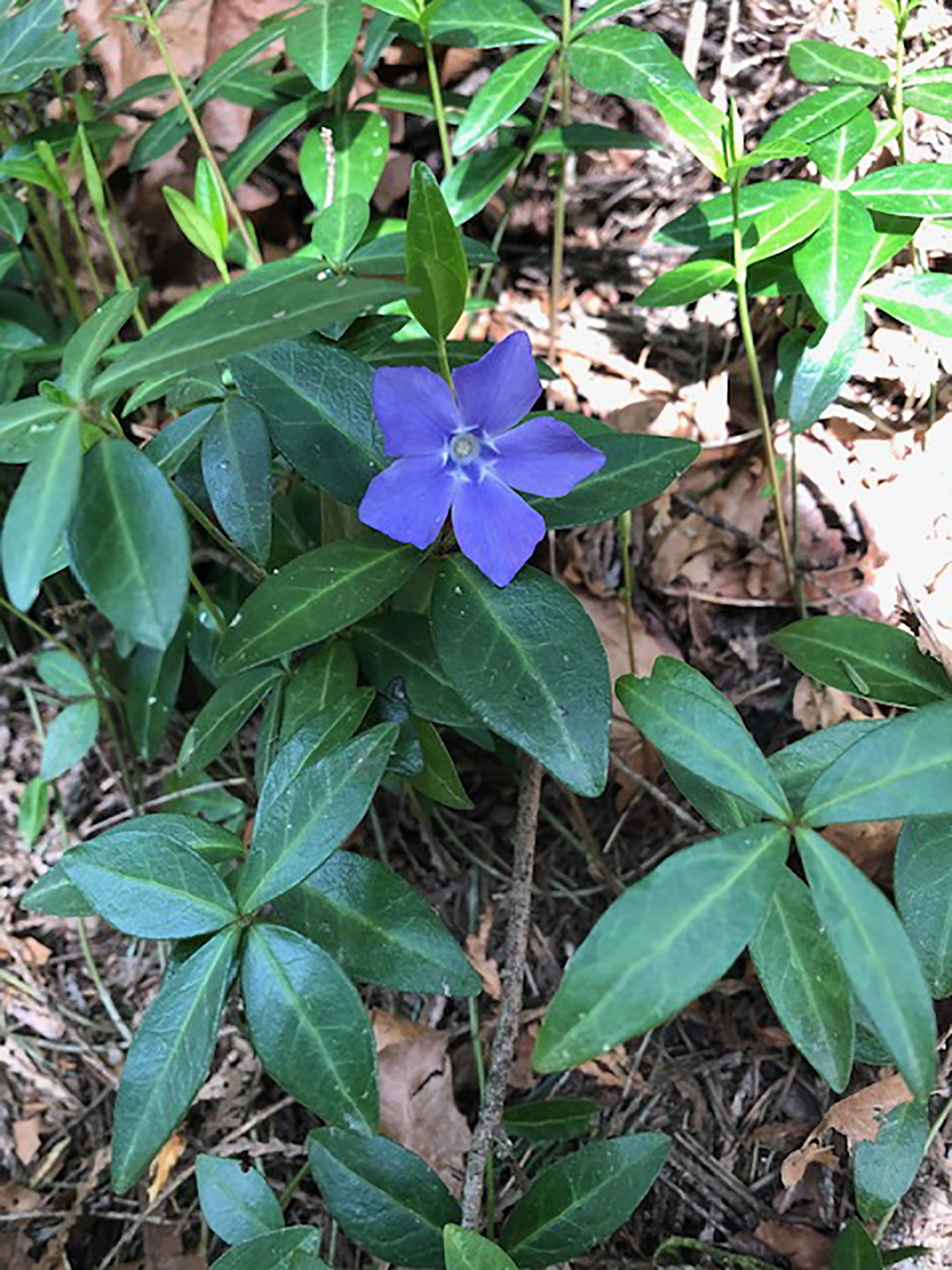
- The most often photographed item this month was skunk cabbage. Other themes that emerged were: birds and ducks, and spring flowers.