
You couldn’t ask for a better walk to end the year with: on a perfect fall day, with crisp air, and clear, blue skies.
For this, the final walk of 2022, most of us had chosen to park at the Gleneagles Community Centre just above Horseshoe Bay, and catch the 250 bus to the walk’s start at Lighthouse Park. As we piled onto the bus en masse (flashing our orange Compass cards), the driver sized us up and ventured: “I’ll bet that you’re all heading to the library” — since what else would a group of literate-looking seniors be up to on a sunny Sunday morning? Little did he know that we were not simply effete intellectuals; we were also elite athletes, about to set out on a strenuous 14 km walk over treacherous terrain!
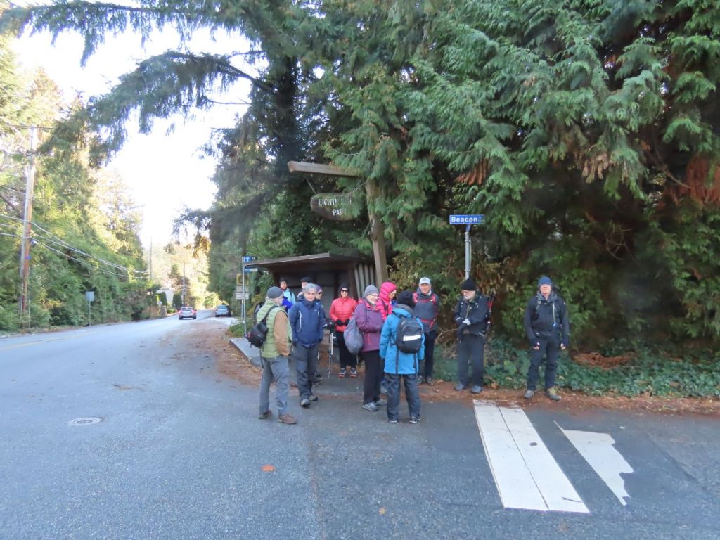
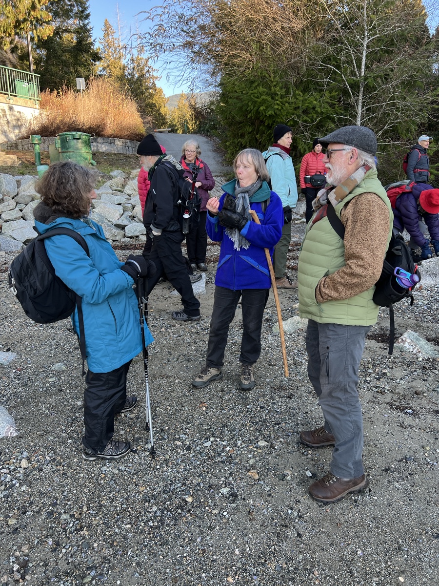
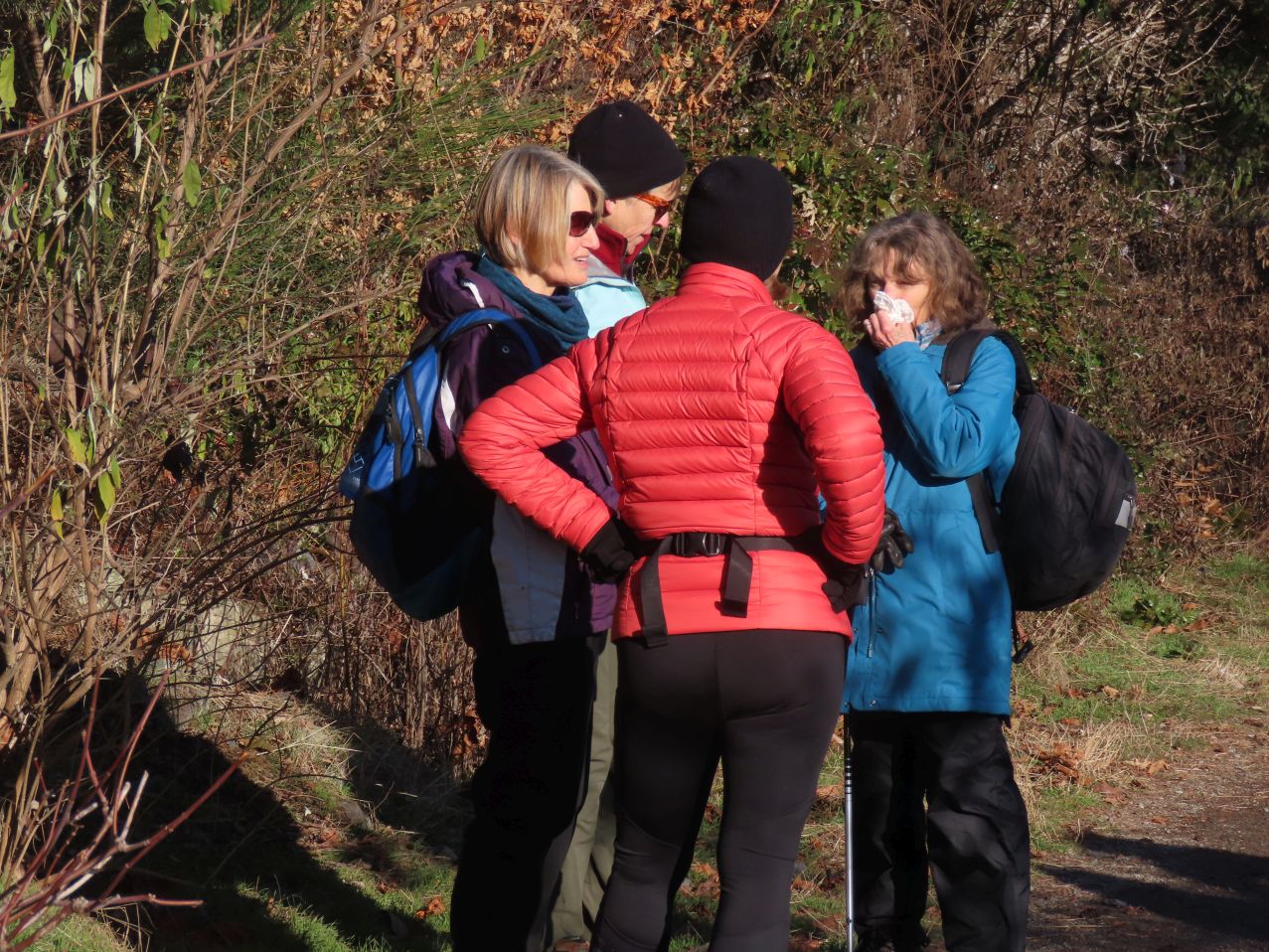
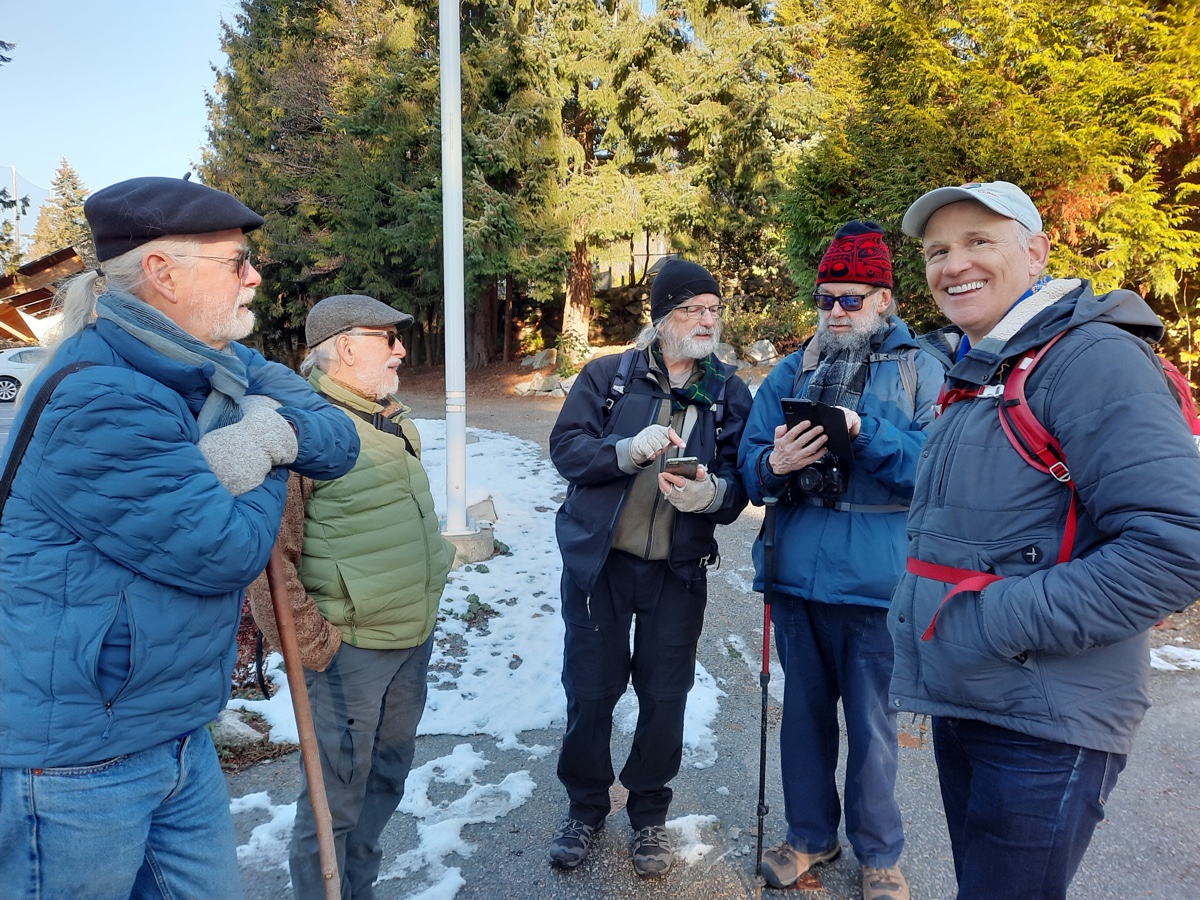
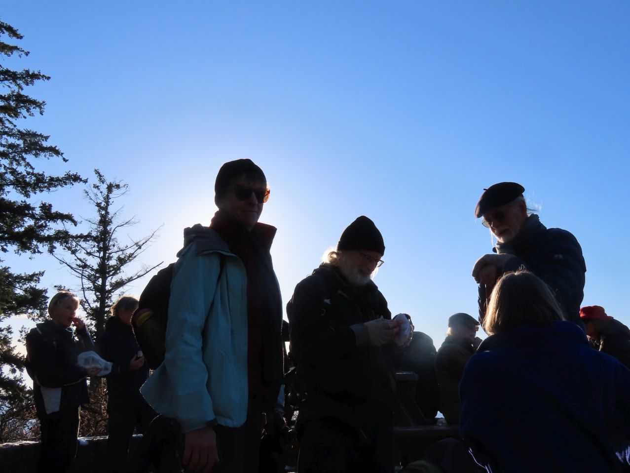
On the bus, Carol stayed up front to chat up our driver, learning far more than she’d bargained for about his life (he’d worked in the film industry before choosing the many challenges and generous rewards of a bus driver’s life). Descending from the bus at Lighthouse Park, this month’s Looper group numbered sixteen once assembled, a slightly lower count than on recent walks, since several of our regulars were forced to miss this walk due to other obligations.
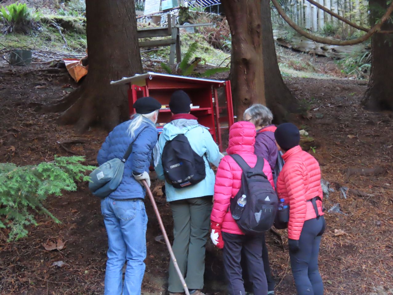
Several Loopers (including the author of this post) rank this as one of their favourite Looper walks: it has a wonderful mix of terrains: residential sections and woodsy trails, some ascending sections and some descending, a couple of secluded beaches, a variety of parks, several lovely views, interesting architecture, a bridge or two, the occasional yacht, a converted railway line, and not too much traffic—with a generous selection of well-stocked mini-libraries as a bonus! Many of us had walked the route from west to east in 2015, as the first segment of our “Horseshoe Bay to the USA” series of walks, but this was the first time that we’d be walking the route from east to west. Blog entries for those 2015 walks (plural, since there were two groups who walked the route, on different dates) can be found here (better weather) and here (the rainier of the two).
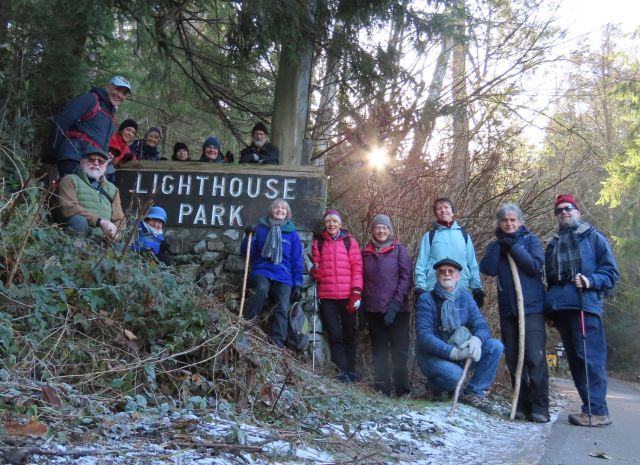
We gathered around the official Lighthouse Park sign for the traditional starting selfie (below). No doubt the mathematicians among you instinctively counted heads, and were wondering why one person appears to be missing. Look more closely though, and you’ll see that this is simply an example of expert camouflage in action.
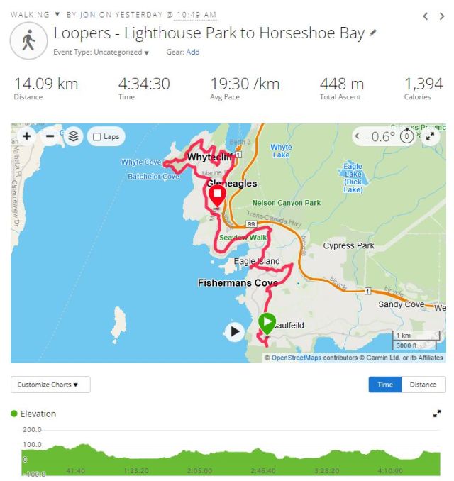
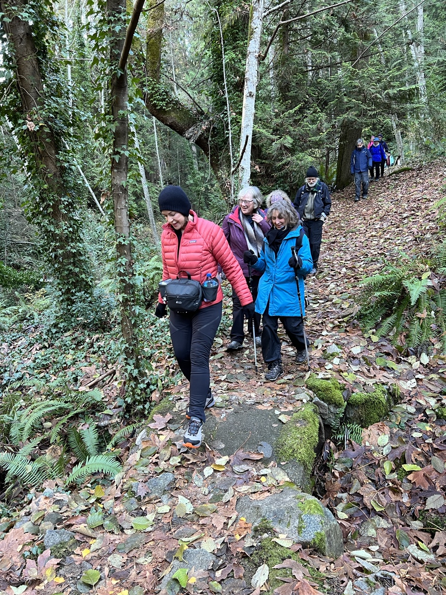
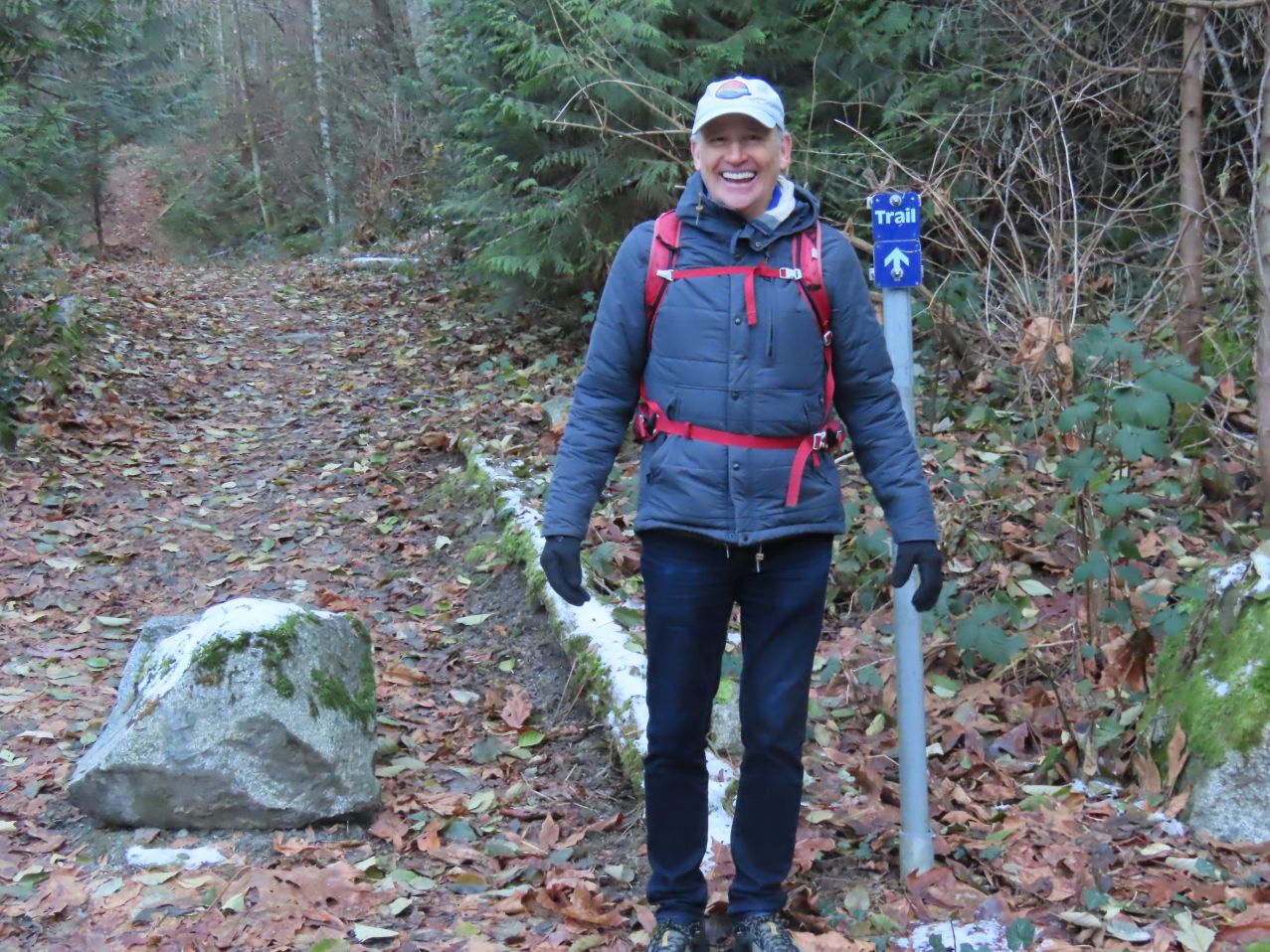
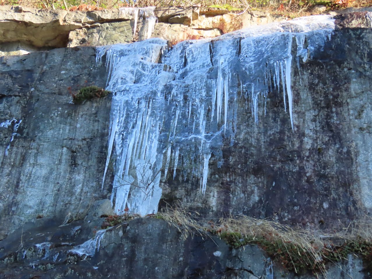
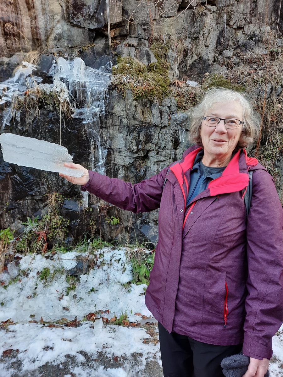
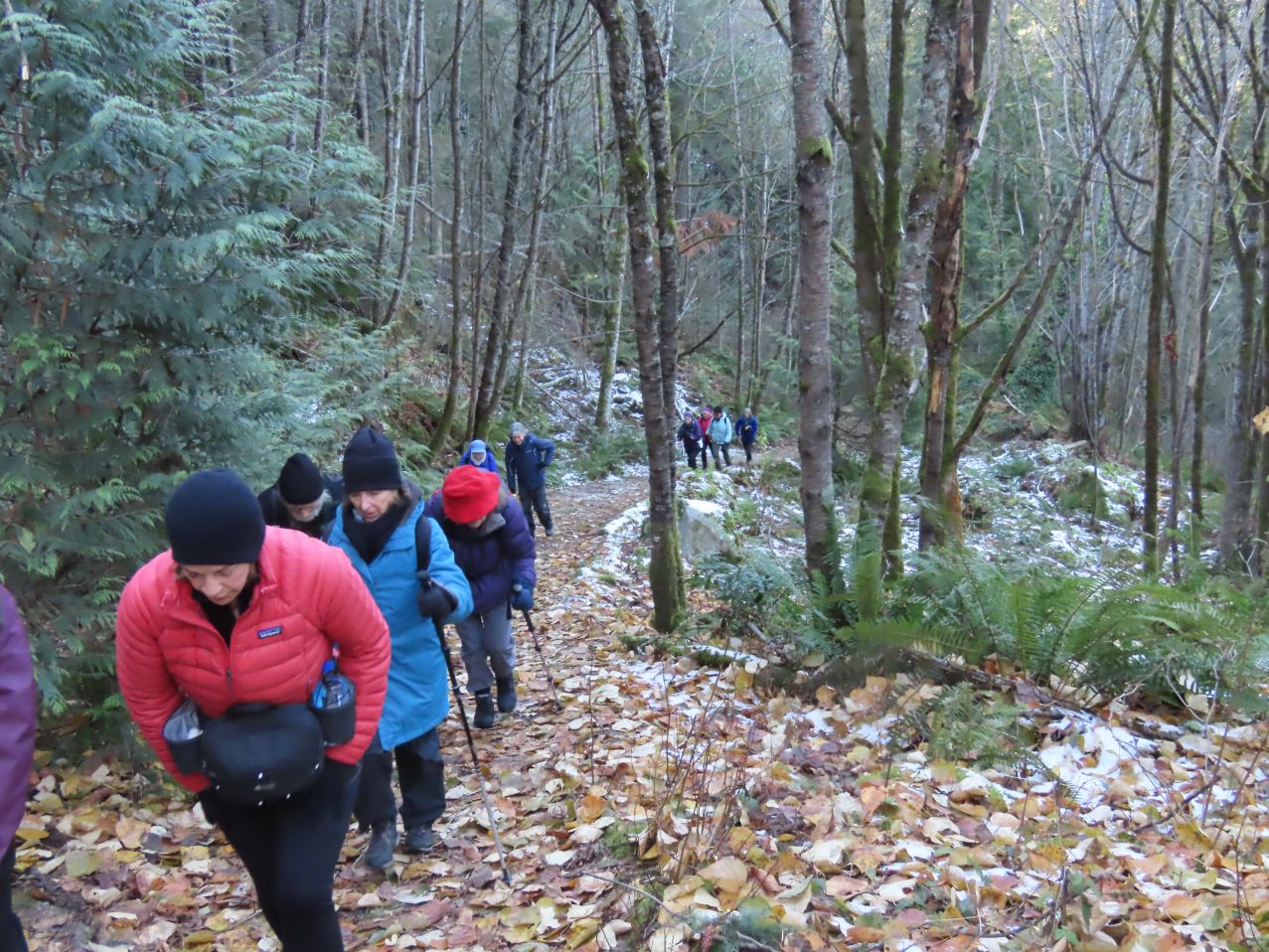
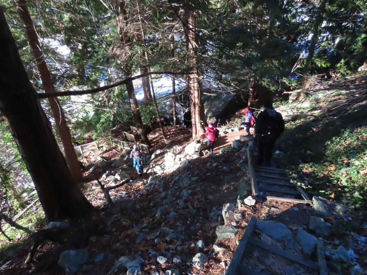
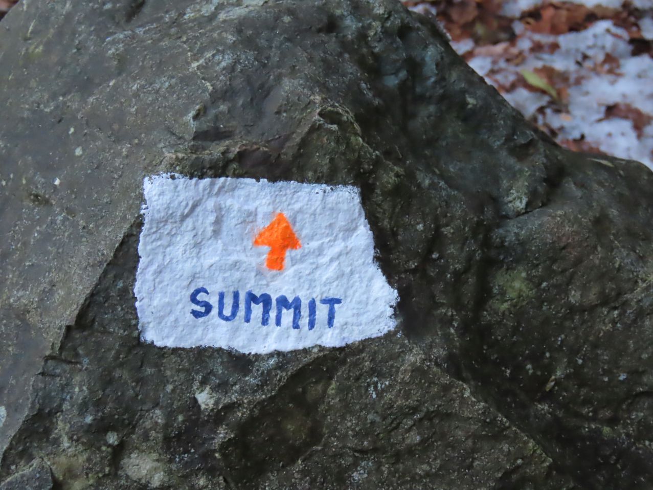
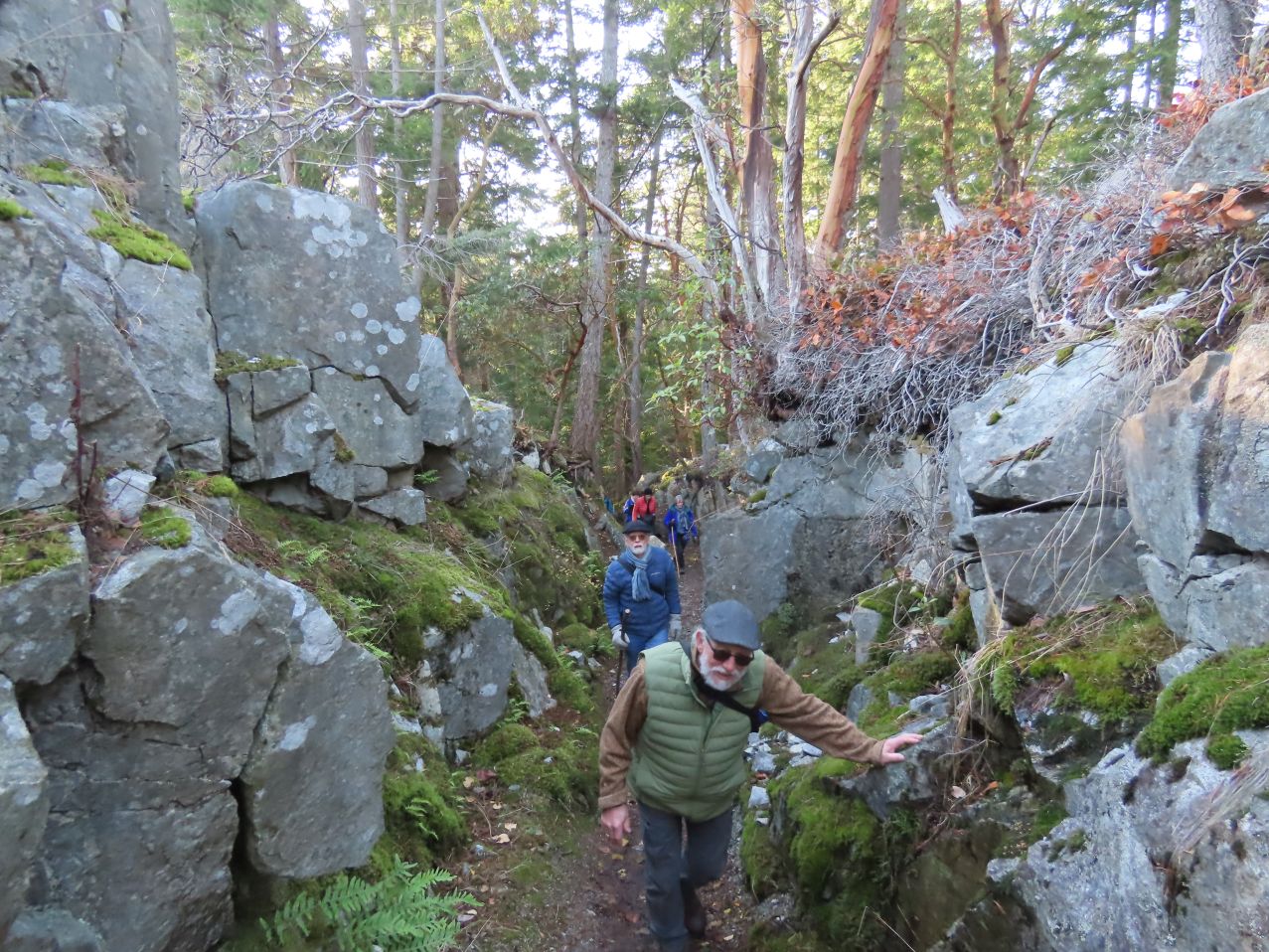
I’ll include Jon’s GPS summary of our walk below, rather than at the end of the post, to give a sense of the route’s circuitousness. Dave (and Angela, who was unable to be part of this outing, due to dogs) had reconnoitred the route earlier, generating a GPS track for us to follow (thus ensuring a reasonably good chance of everyone making it to the end, intact). Many people had brought spikes with them, in case of ice, as well as walking sticks, but apart from a couple of short sections, the footing was quite good.
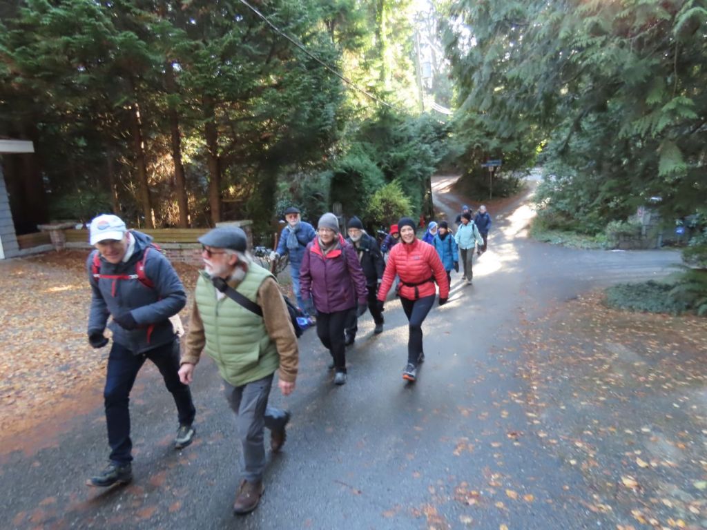
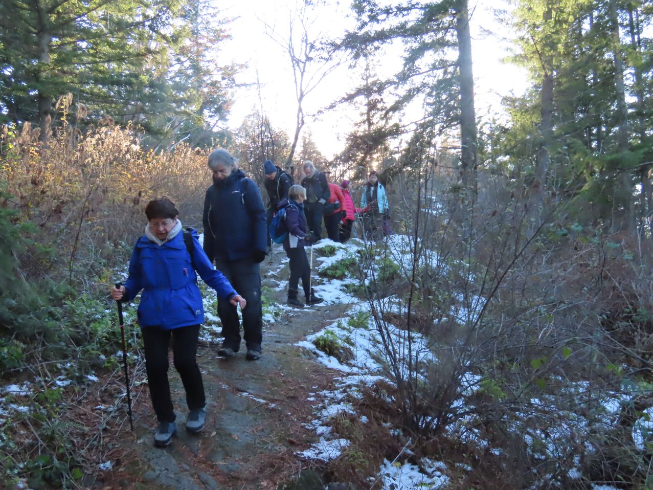
From Lighthouse Park we set out west, on Bear Lane, crossing Marine Drive at Crossway to connect with Keith Road, which we followed more or less westward, gradually ascending.

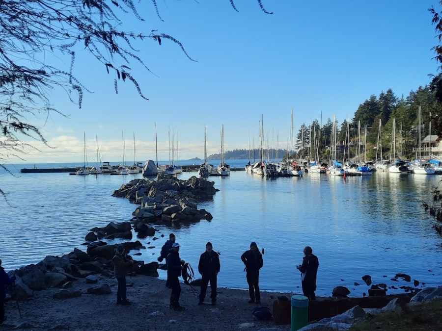
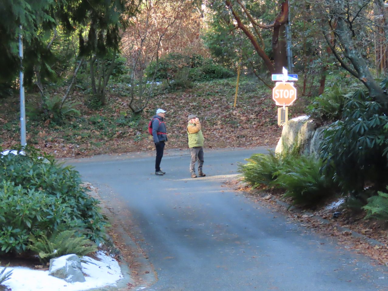
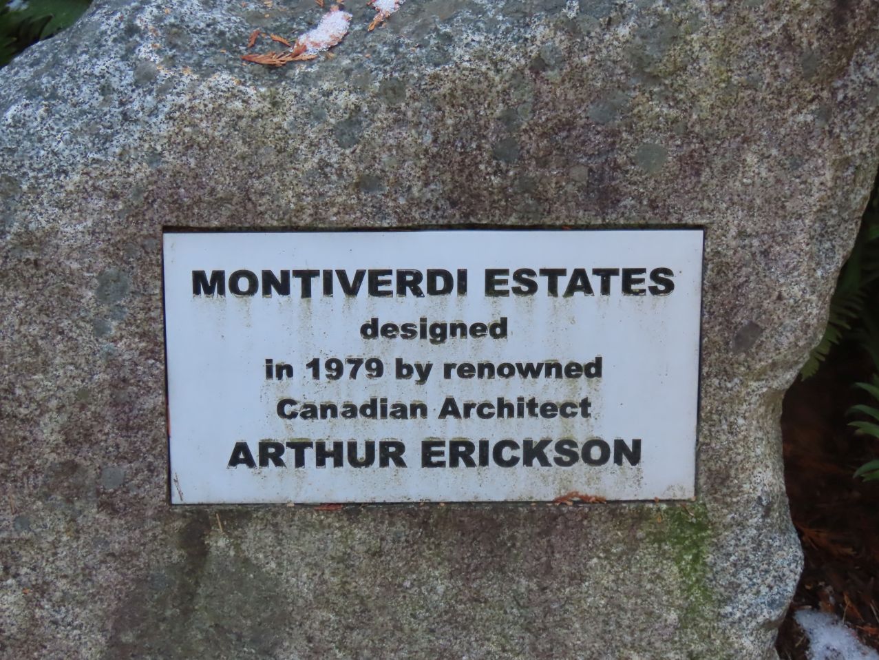
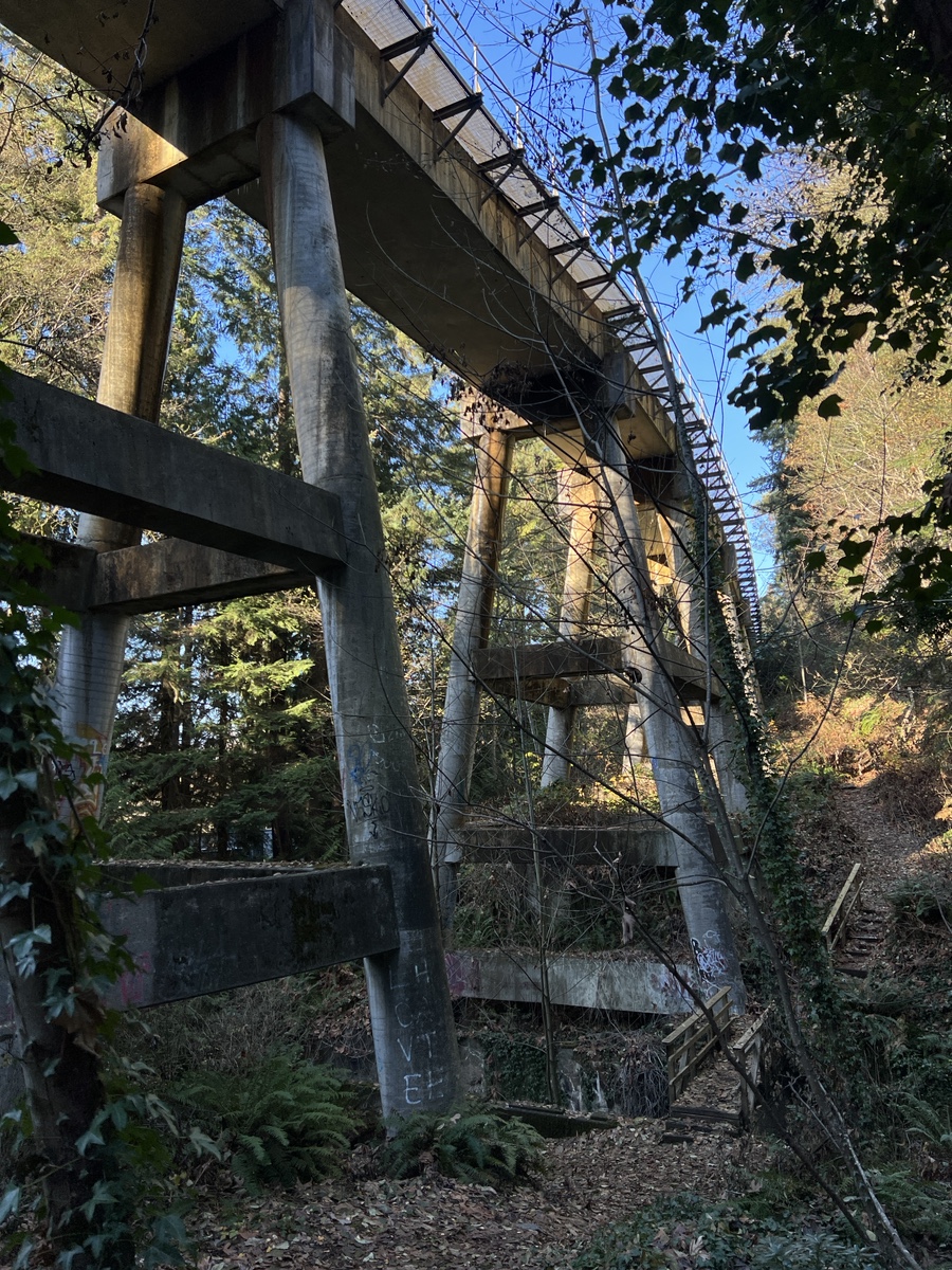
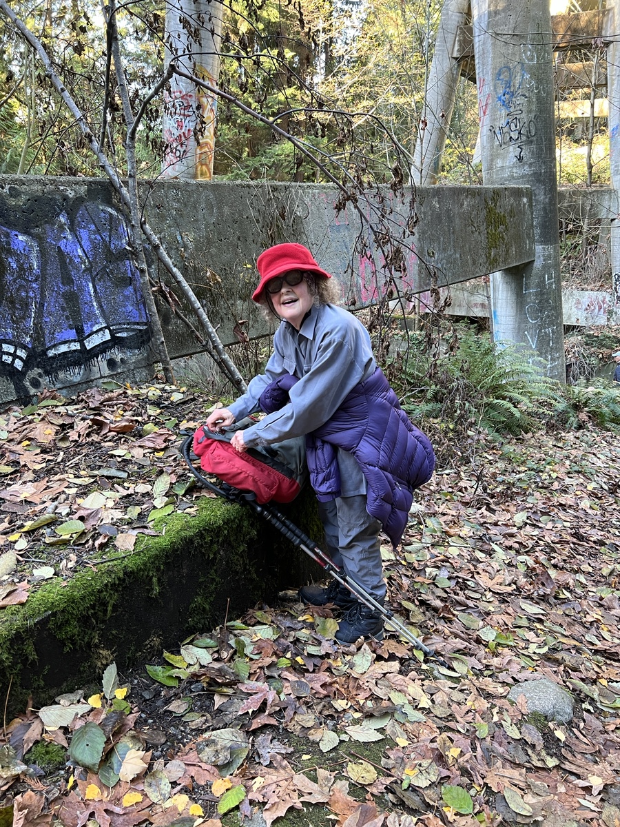
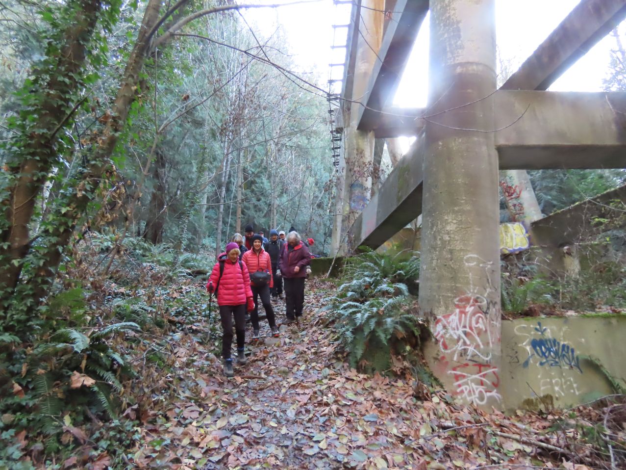
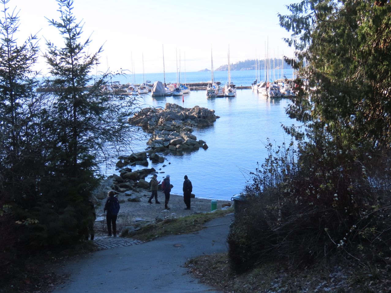
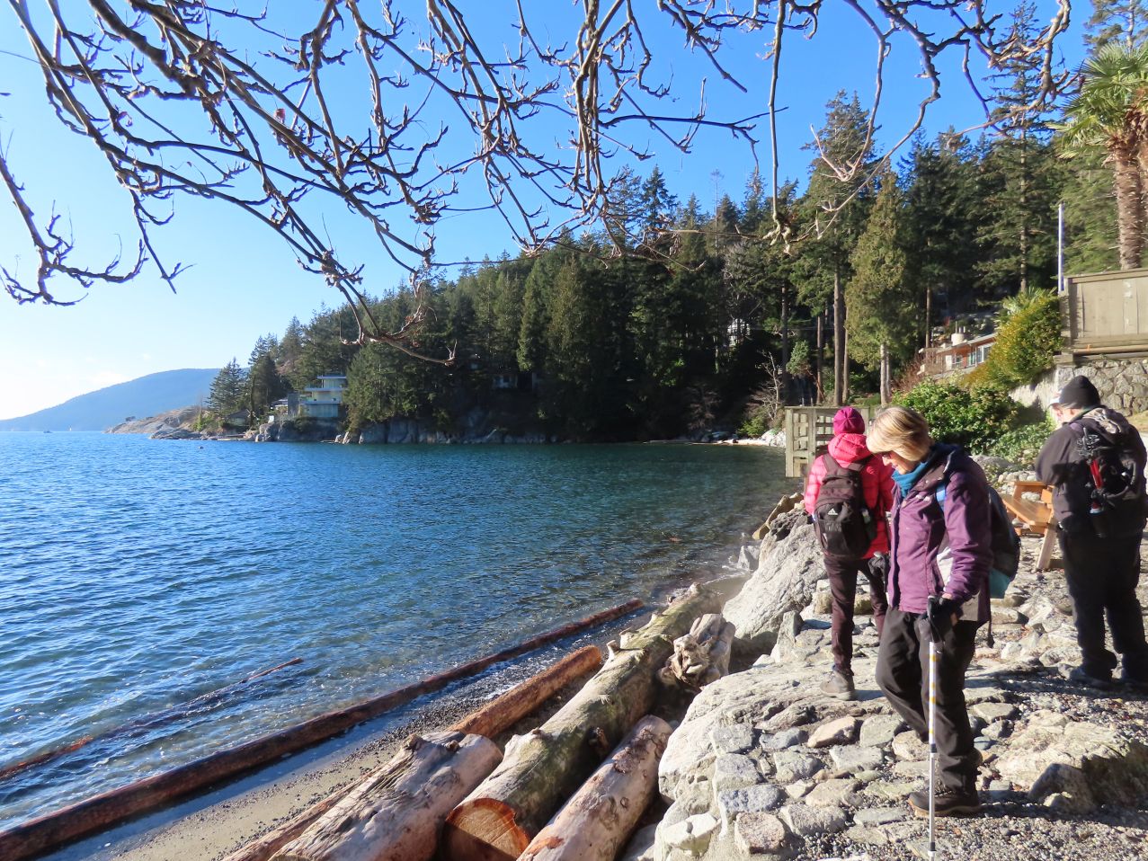
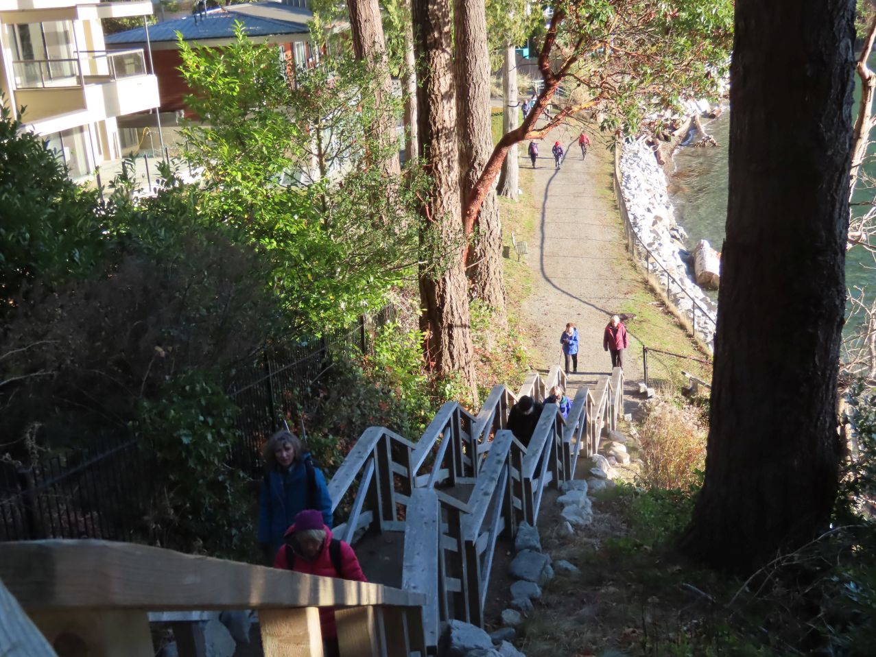
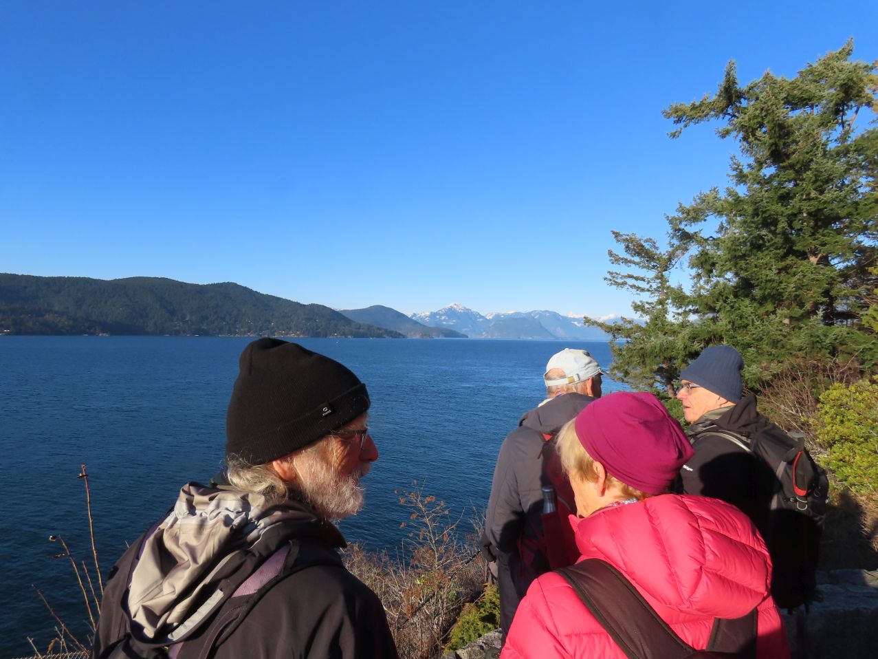
At one point we passed through Monteverdi Estates, an Arthur Erickson-designed housing development from 1979 (the houses sporting dramatic siting, clean geometric lines, as well as evidence of water penetration into the structure, all of which are typical of his work). Near the western end of Keith Road we took to the trails, descending along a rocky goat path to a point just below the railway trestle bridge. From there a further descent to Marine Drive, which we crossed once more, taking another local path through Park Verdun that took us (eventually) to the water’s edge at Eagle Harbour Park. Here we took our snack break, enjoying a fine view of the pricey homes on Eagle Island, and expensive boats floating just out of reach.
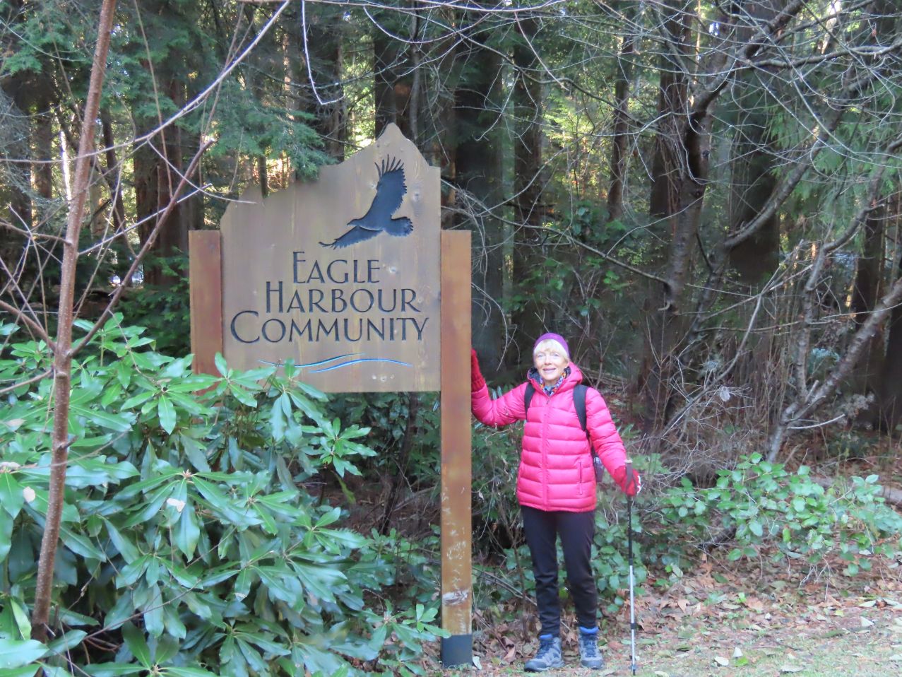

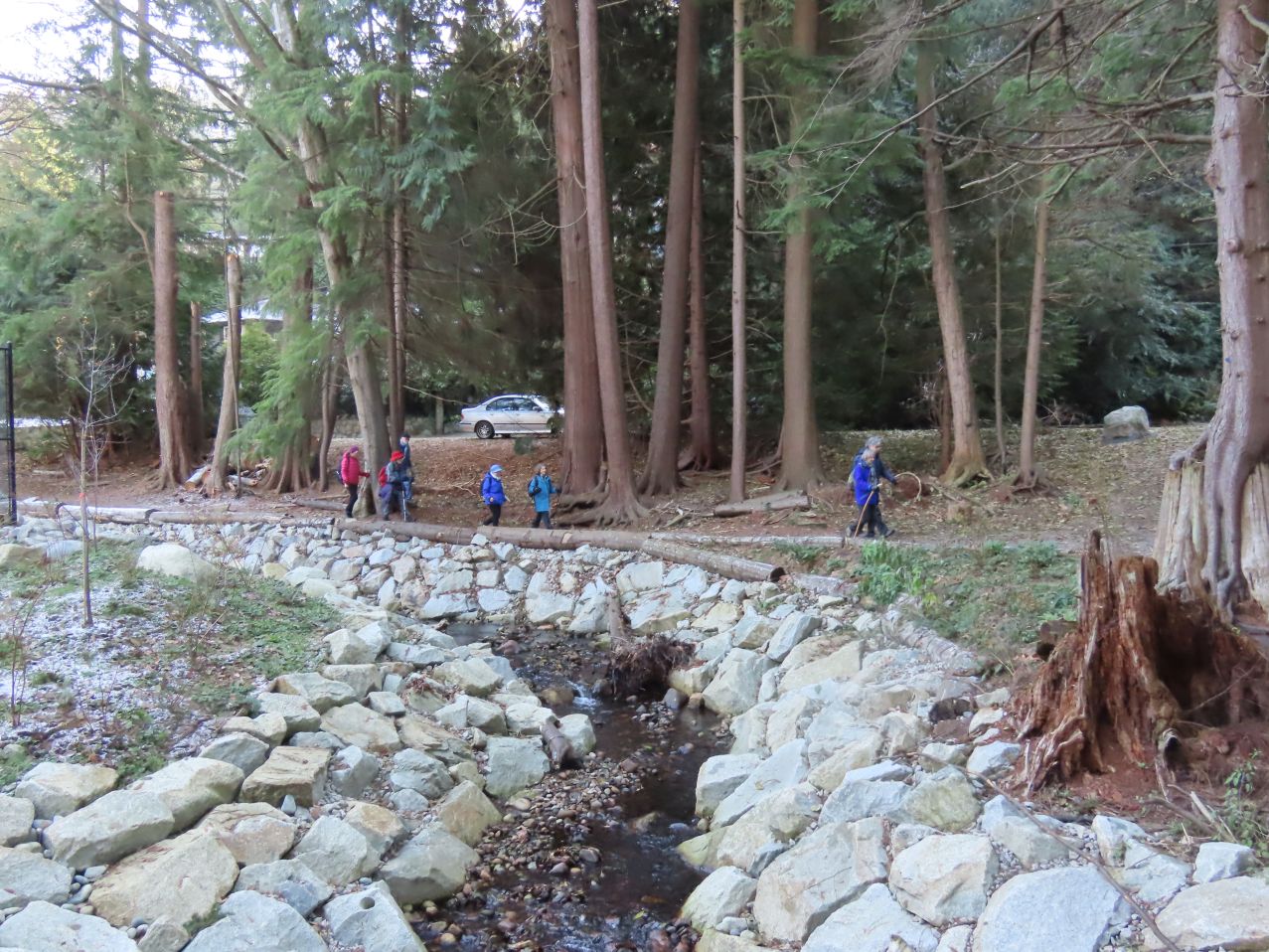
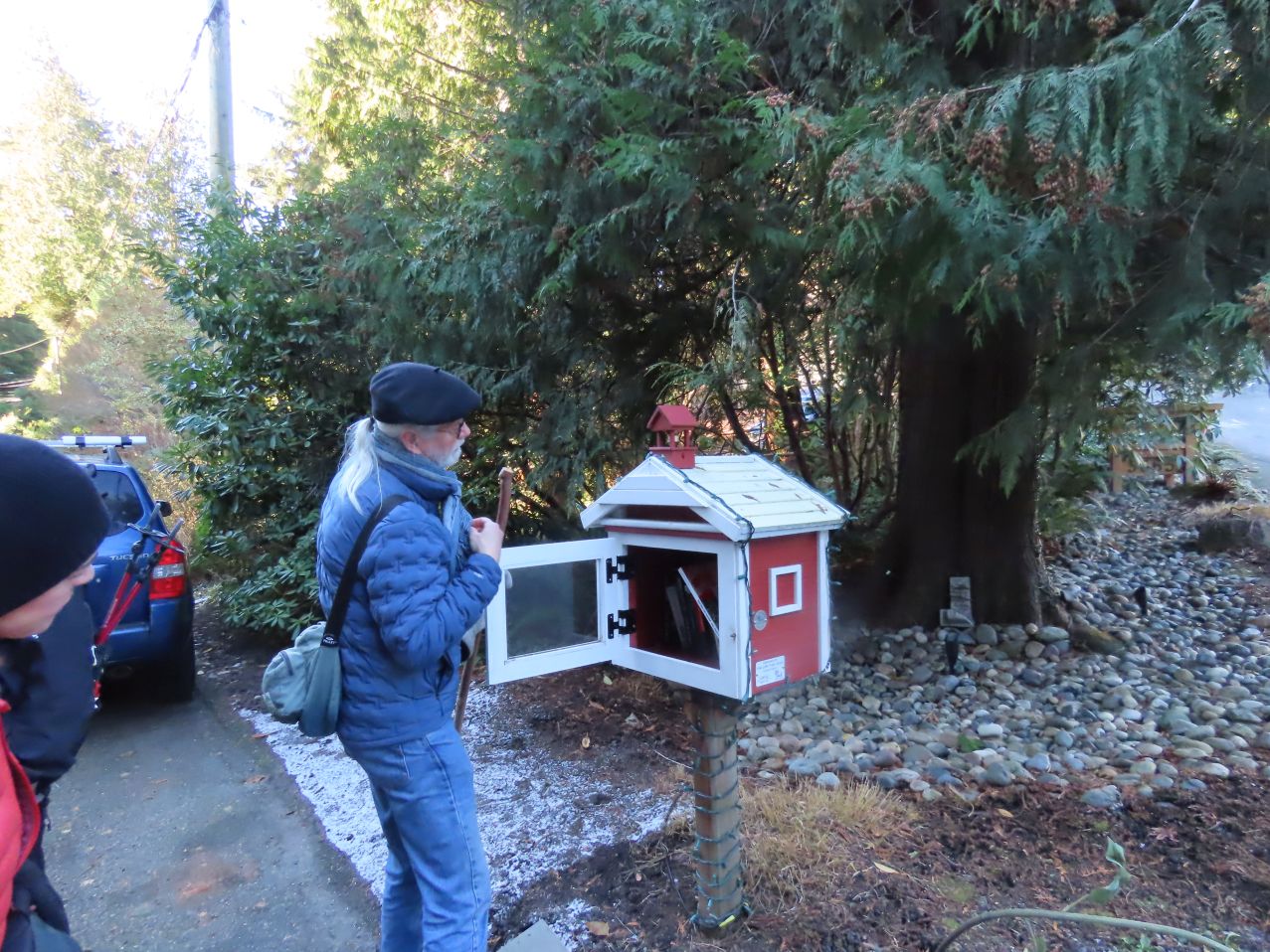


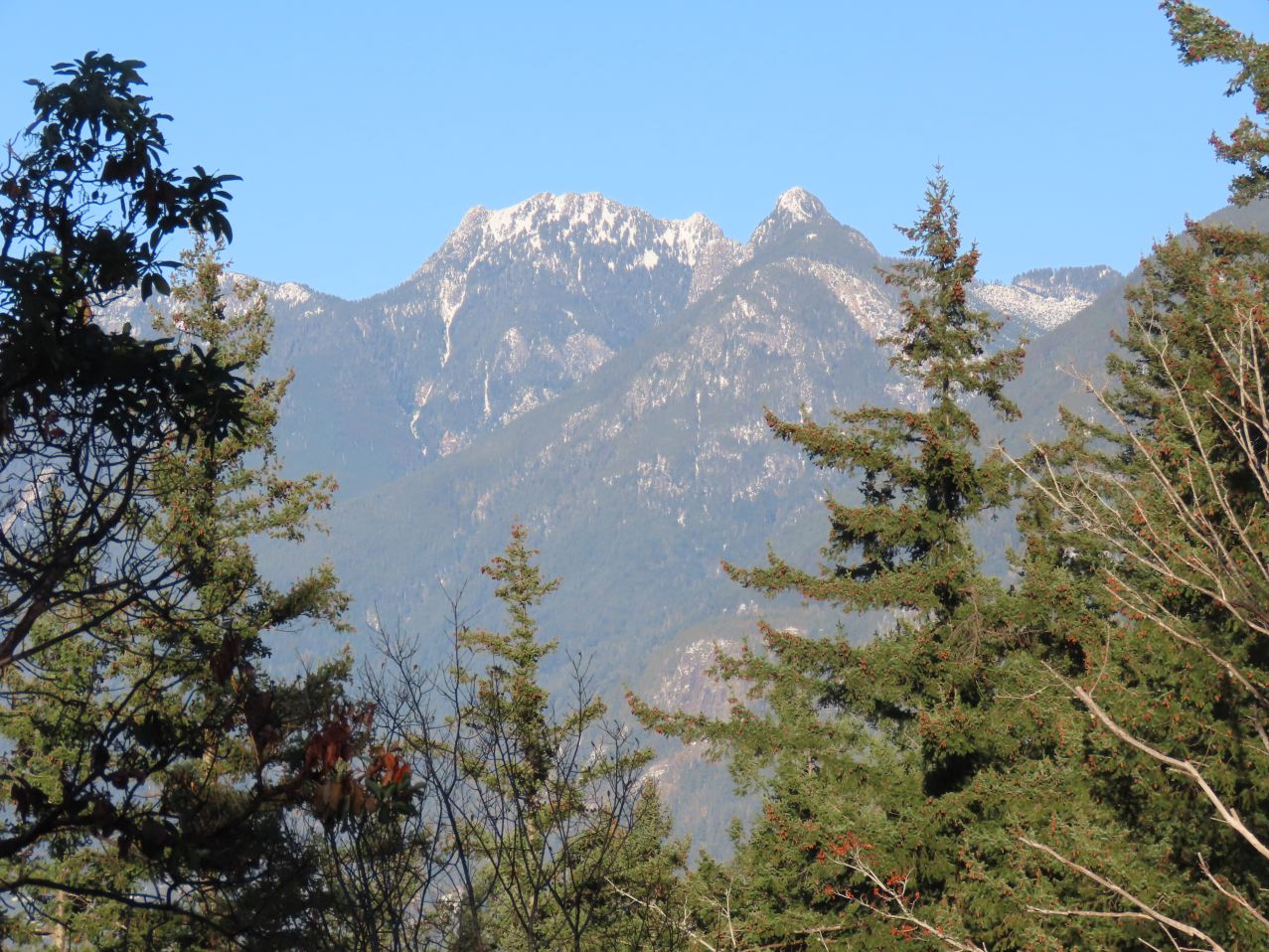
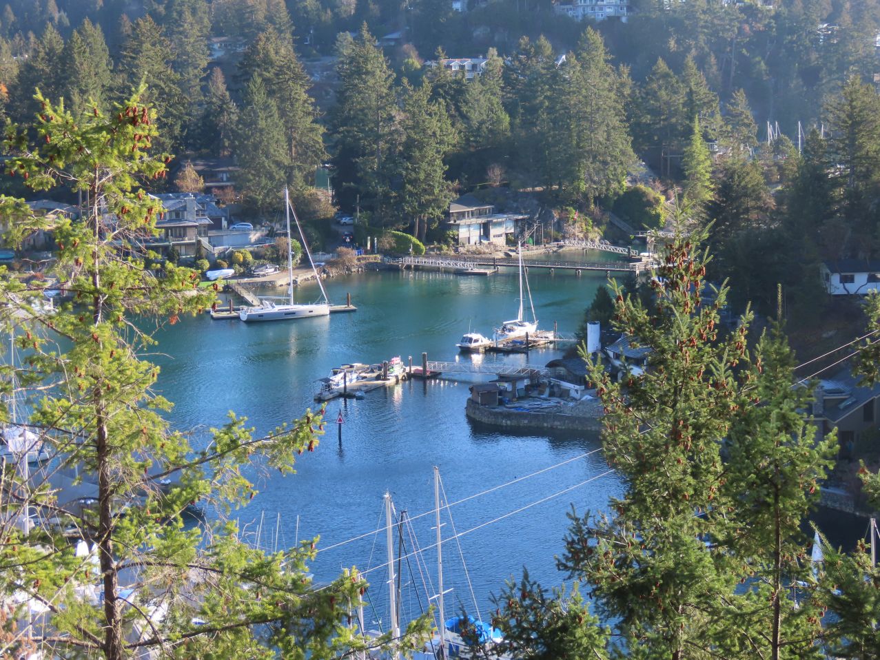
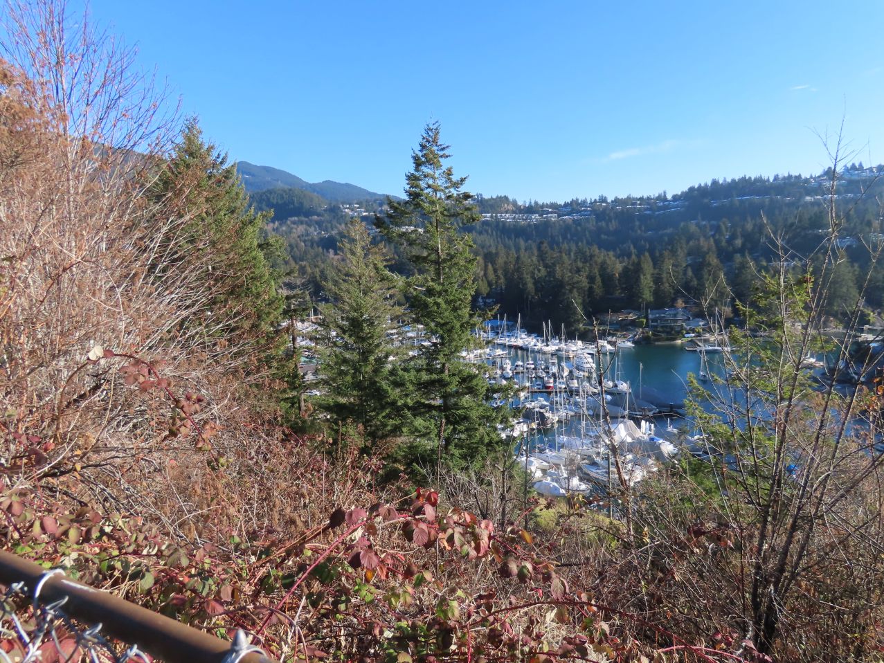
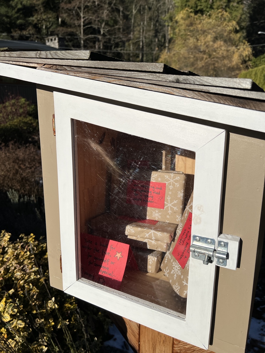
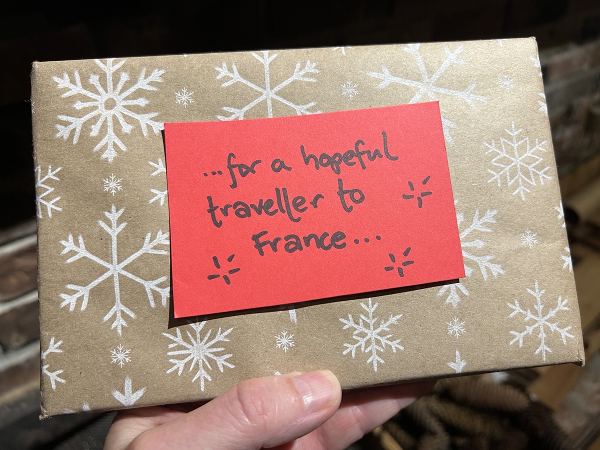
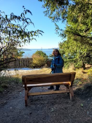
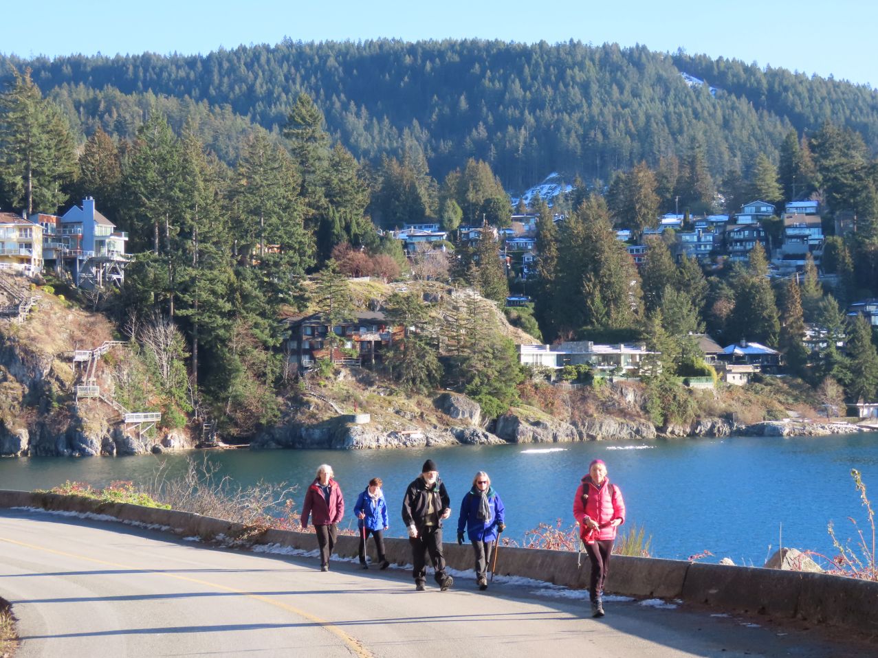
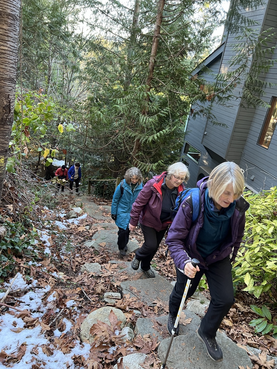
After snacking, we continued northwards on Eagle Harbour Road to Marine Drive, then along Cranley Drive (passing a beautifully tended mini-library, each book carefully Christmas-wrapped and labelled) to the start of what Google Maps names as The Great Trail (but which most seem to refer to as Seaview Walk). Much of that trail is along a former railway line, with great views to the south over Eagle Harbour. The trail ends near Gleneagles Community Centre, which would eventually be the end point for our walk (though not just yet!)
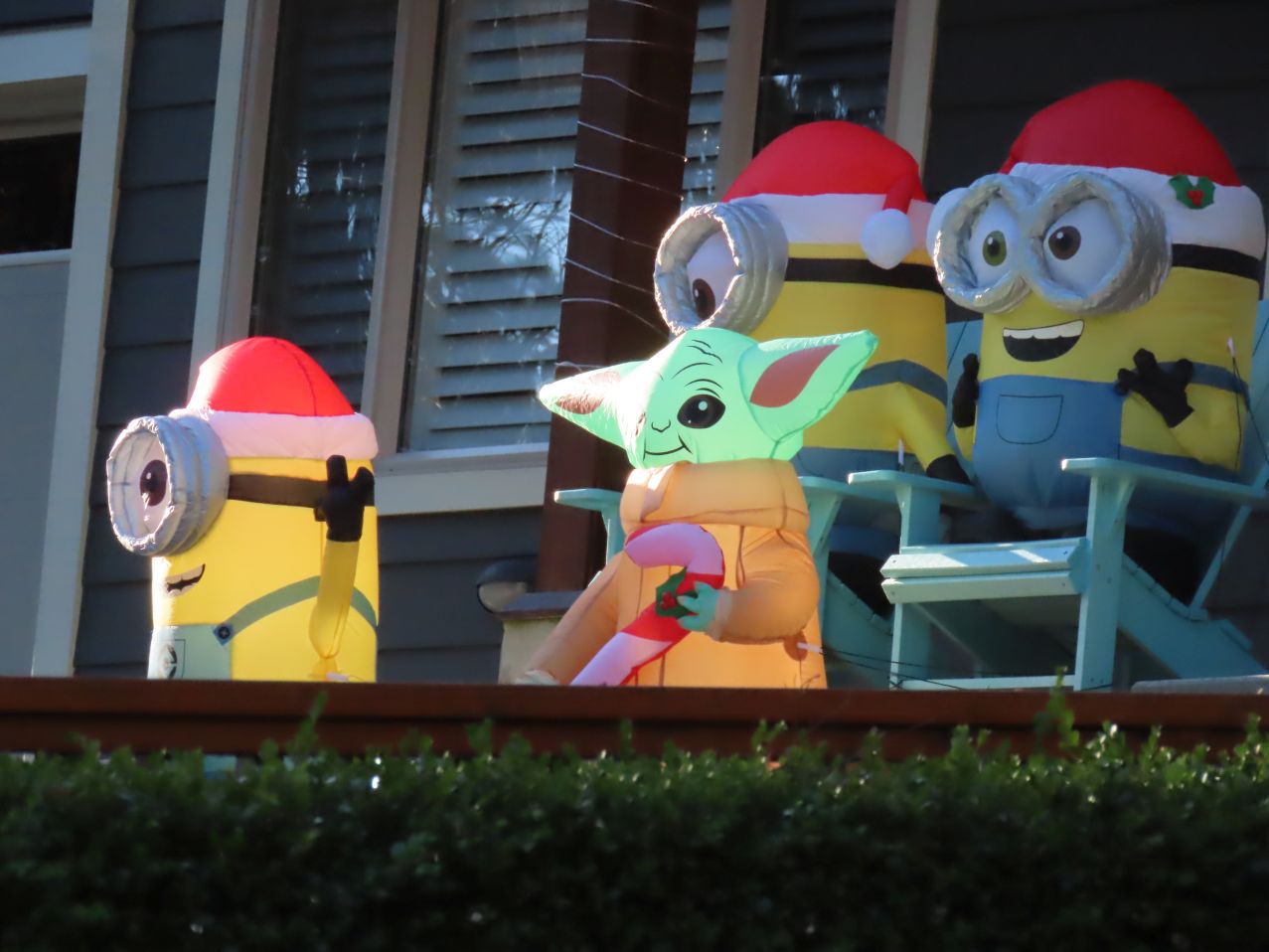
From Gleneagles we followed back roads (admiring one house decorated with those traditional Christmas figures: Yoda and his Minions) then down a nifty local walking trail to the water’s edge again, at Batchelor Bay (one of the Secret Beaches of West Vancouver!) From there it was just a short jaunt to Whytecliff Park, where we found yet another high-risk playground ride — a challenge which Looper Jon always seems unable to resist. This particular ride consisted of an enigmatic metal framework—two poles, one with hand-grips—with a small platform suspended between them, supported and elevated about the ground by sturdy steel cables. The operating instructions were somewhat vague, but once Jon was in the saddle he improvised nicely, eventually (in the opinion of the judges) managing to get the upper hand. At any rate, no bones were broken.


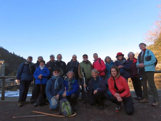
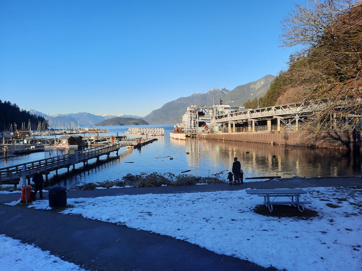
The walking route from Whytecliff Park to Horseshoe Bay follows a couple of rough and tumble sections of local trail, separated by local roads, which took us up and over a promontory or two and down into Horseshoe Bay, where we took our ending selfie: the last such of the year! Afters were (uphill from there!) at The Orchard, part of the Gleneagles Golf and Country Club, where we were joined by a few of those Loopers who had been unable to make the walk itself. All in all it was a fine end to another splendid year of Looping!


Rumour has it that next year’s walks will be a selection of our favourite walks from other years, so don’t forget to submit your suggestions for consideration. The deadline is looming. And in the meantime: have yourselves a merry little Christmas!
Photographs by: Jon, Liz, Jean, Michael, Adrienne, Larrie, Maurice, Dave, Diane.

Cannot find the camo Looper – need a clue!
Also, one wonders what wrapped French book was in the little gift library?
Great pix!
LikeLike
Pingback: 2023 June 11: Lighthouse Park to Horseshoe Bay – Loopers