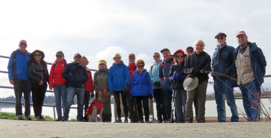
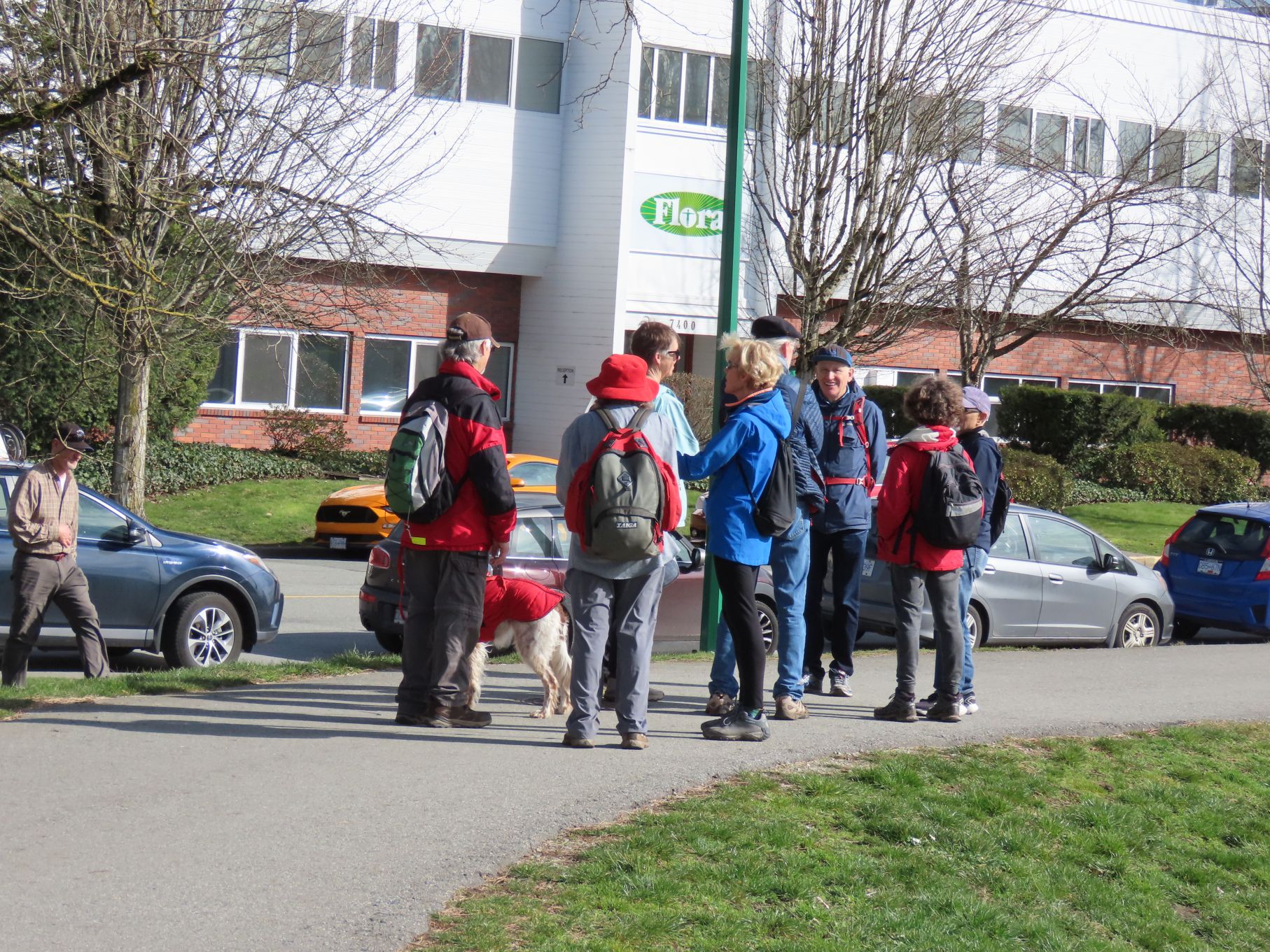
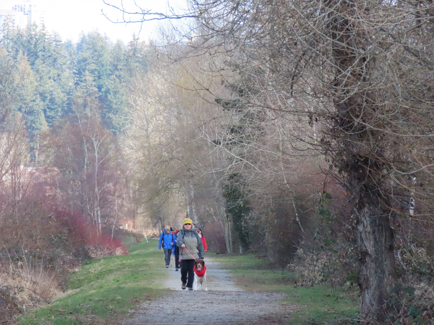
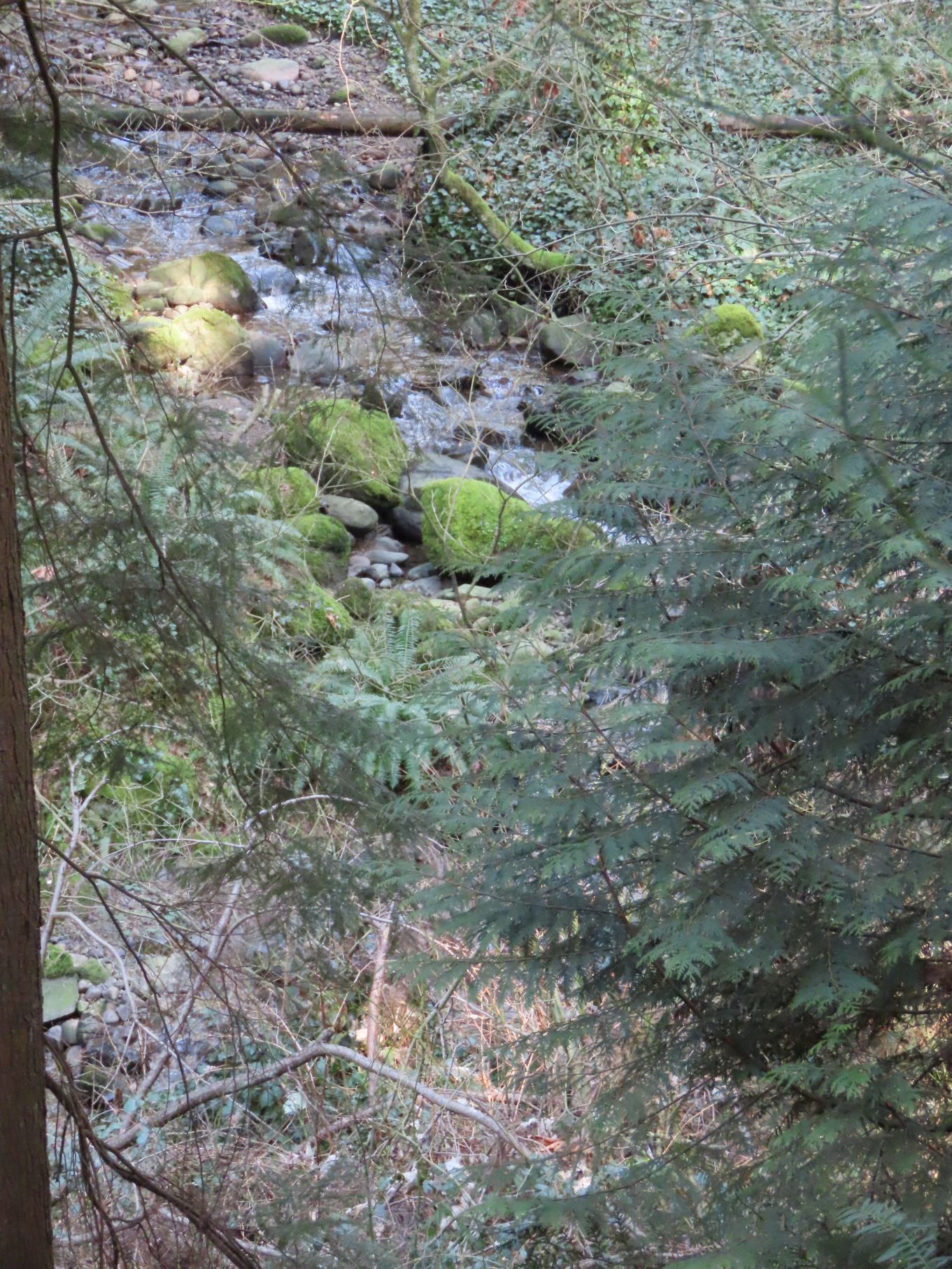
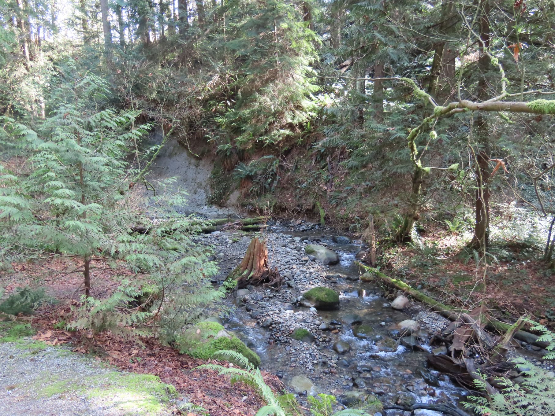
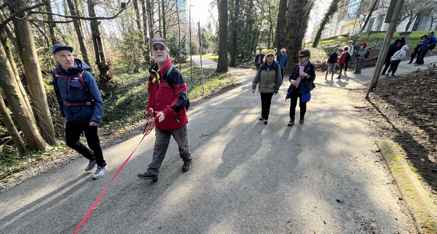
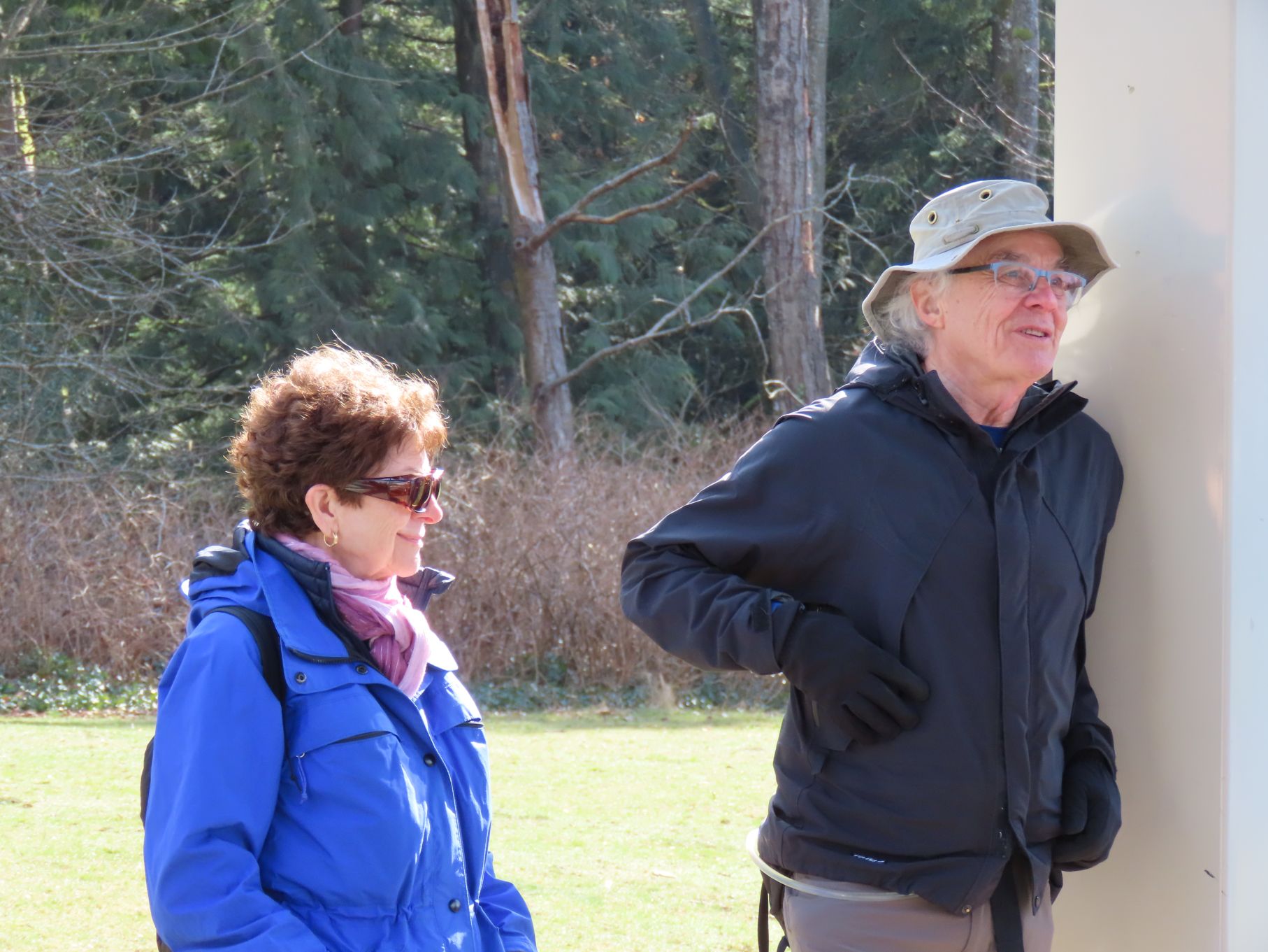
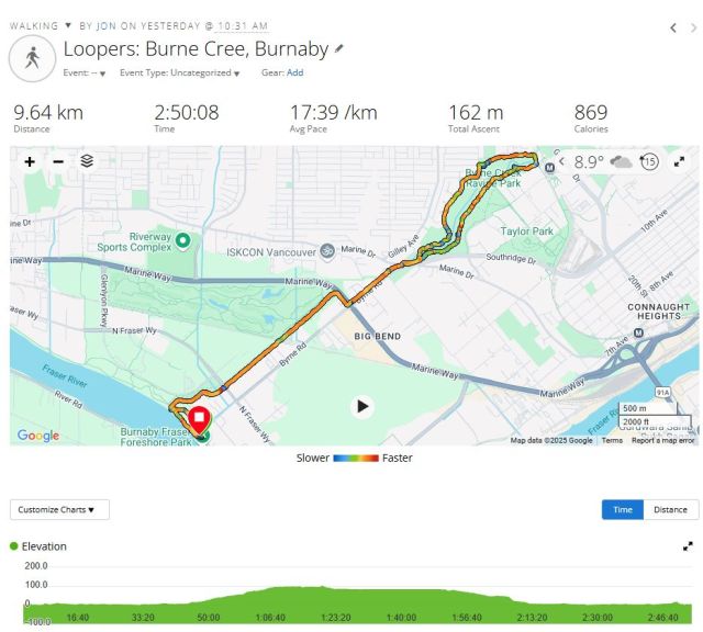
Honorary canine Looper Maisie had 16 non-canine companions walking with her on our March walk, which was led by Looper Gordon. The walk began at Burnaby Fraser Foreshore Park, on the north bank of the mighty Fraser River. It was a glorious day for a stroll, and while several of our “regulars” were absent (you know who you are!) we welcomed three new Loopers-in-training: Brian, Sheng Li, and Grace. After a brief stretch walking west along the river, we turned inland (translation: we turned right) to follow a footpath beside Byrne Creek, which at that point is a mere thread of water bordered by marsh.
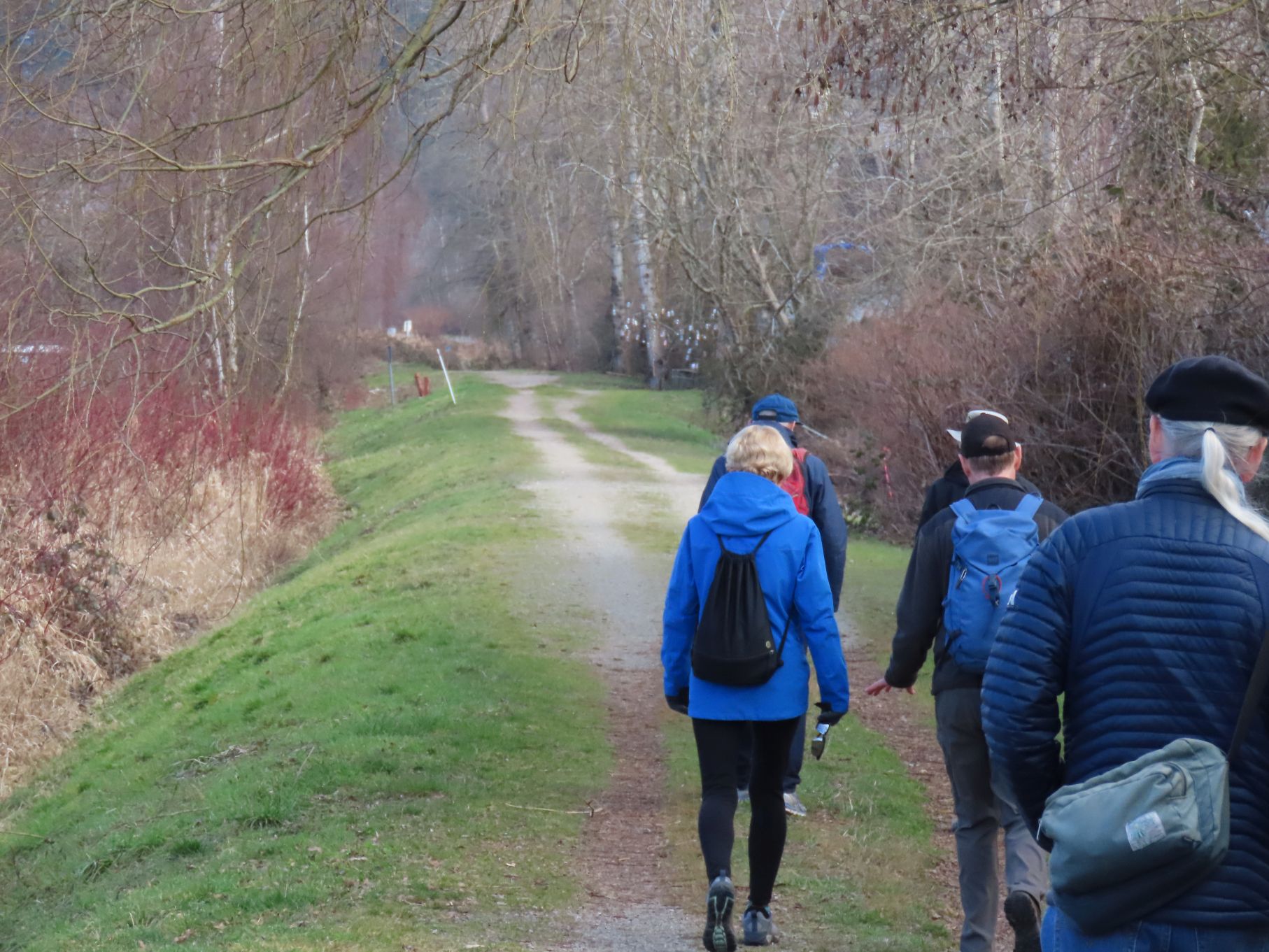
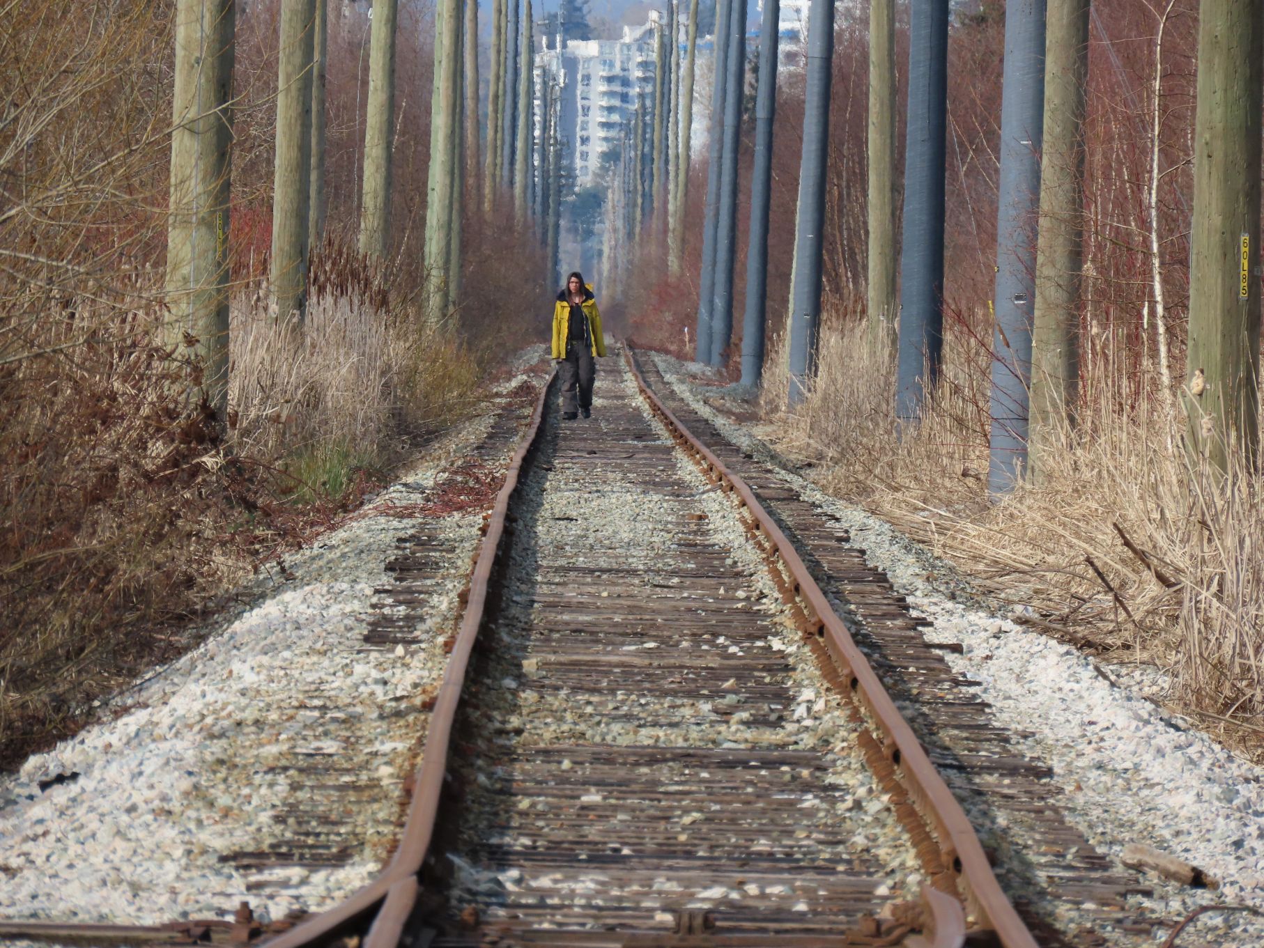
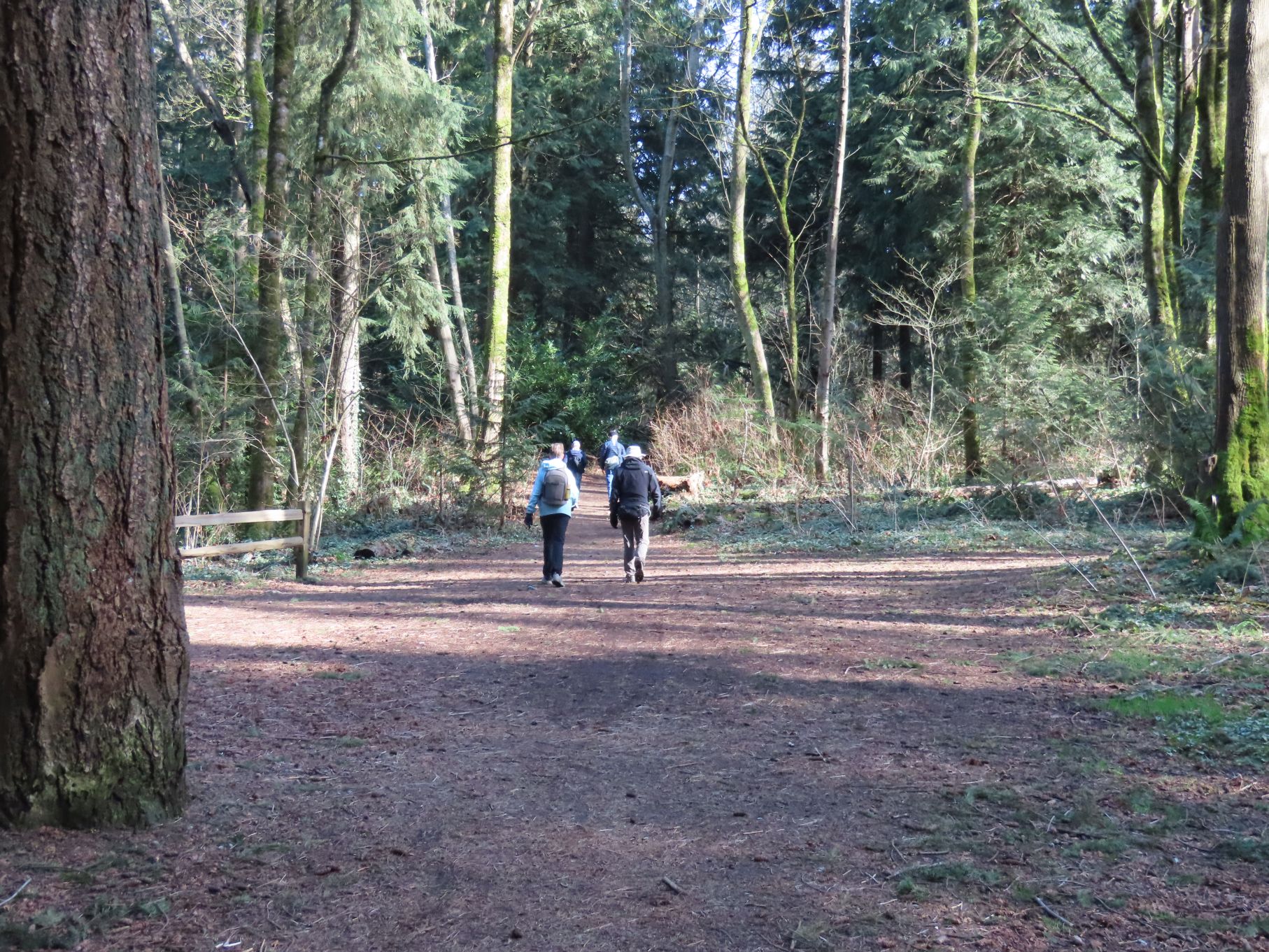
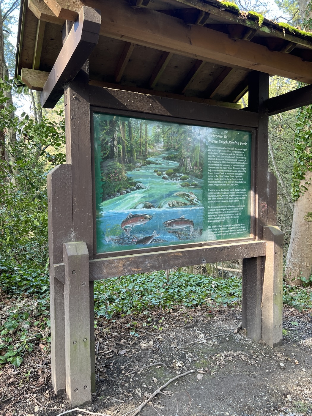
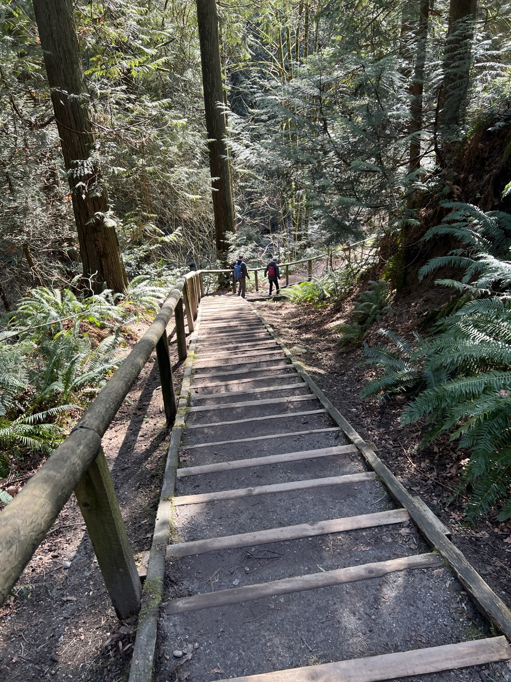
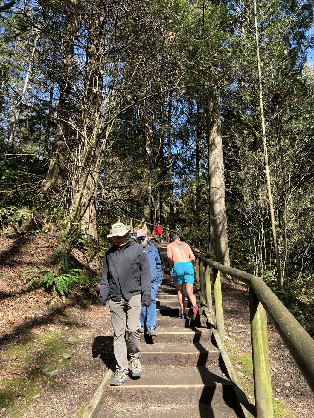
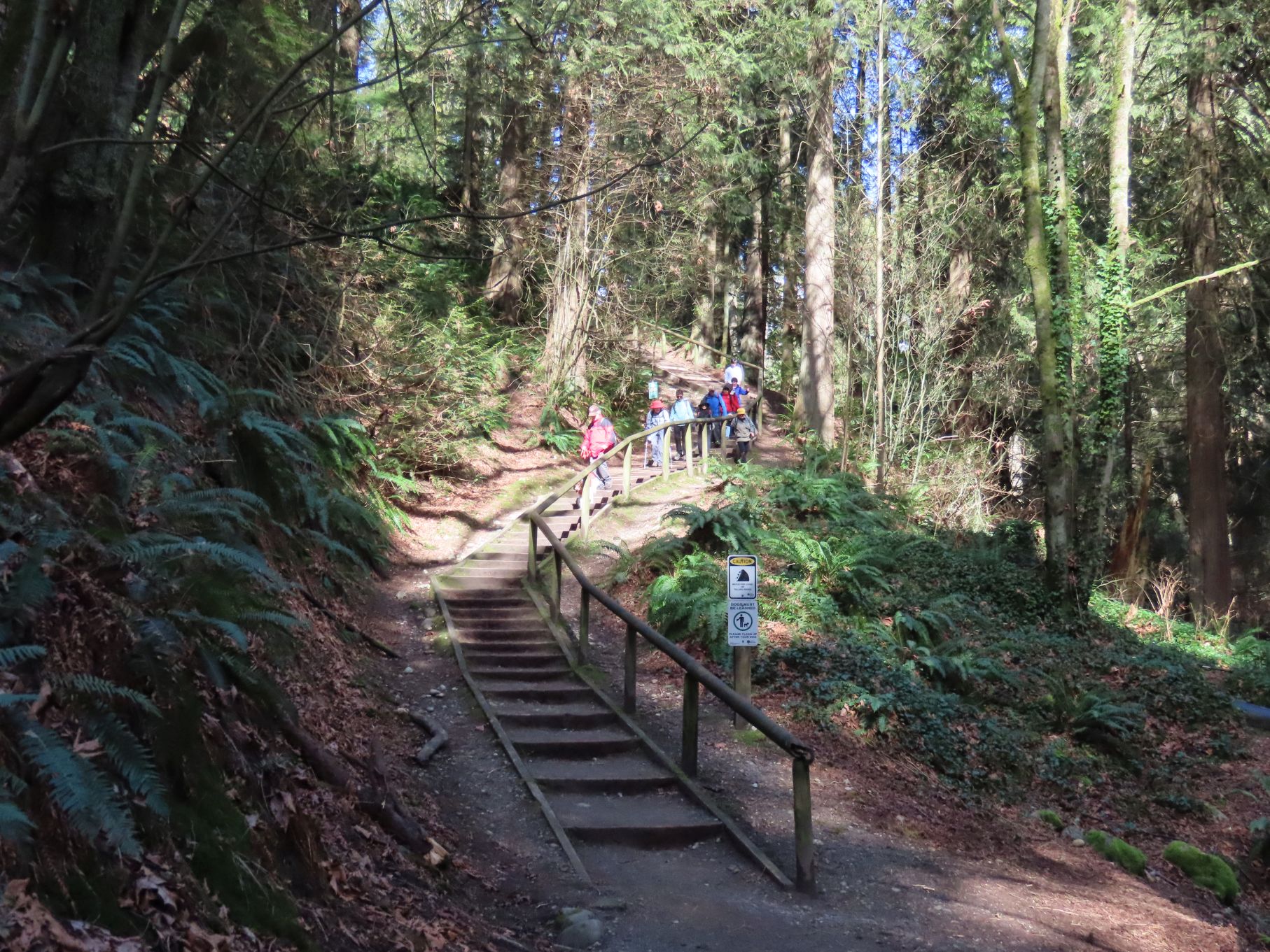
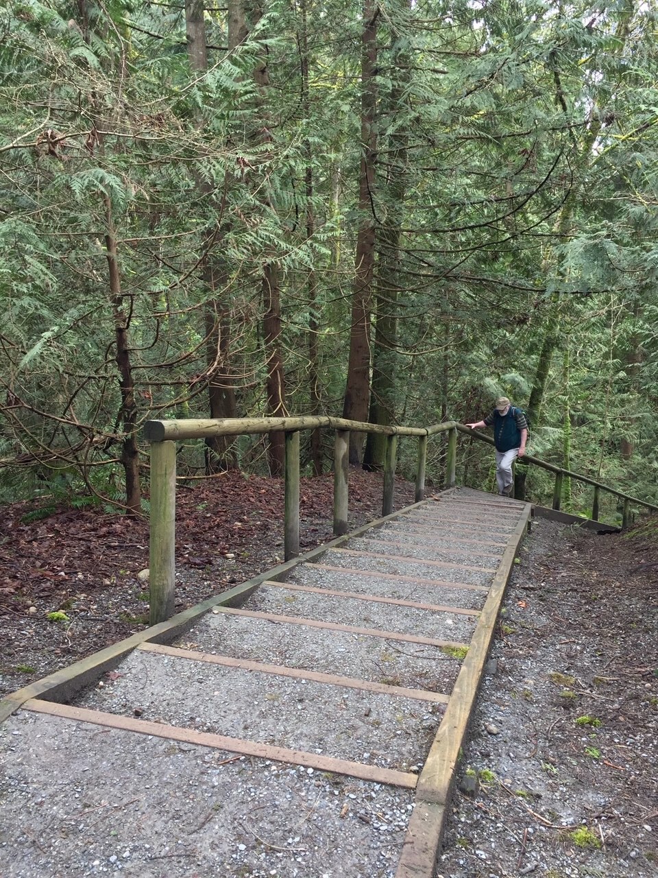
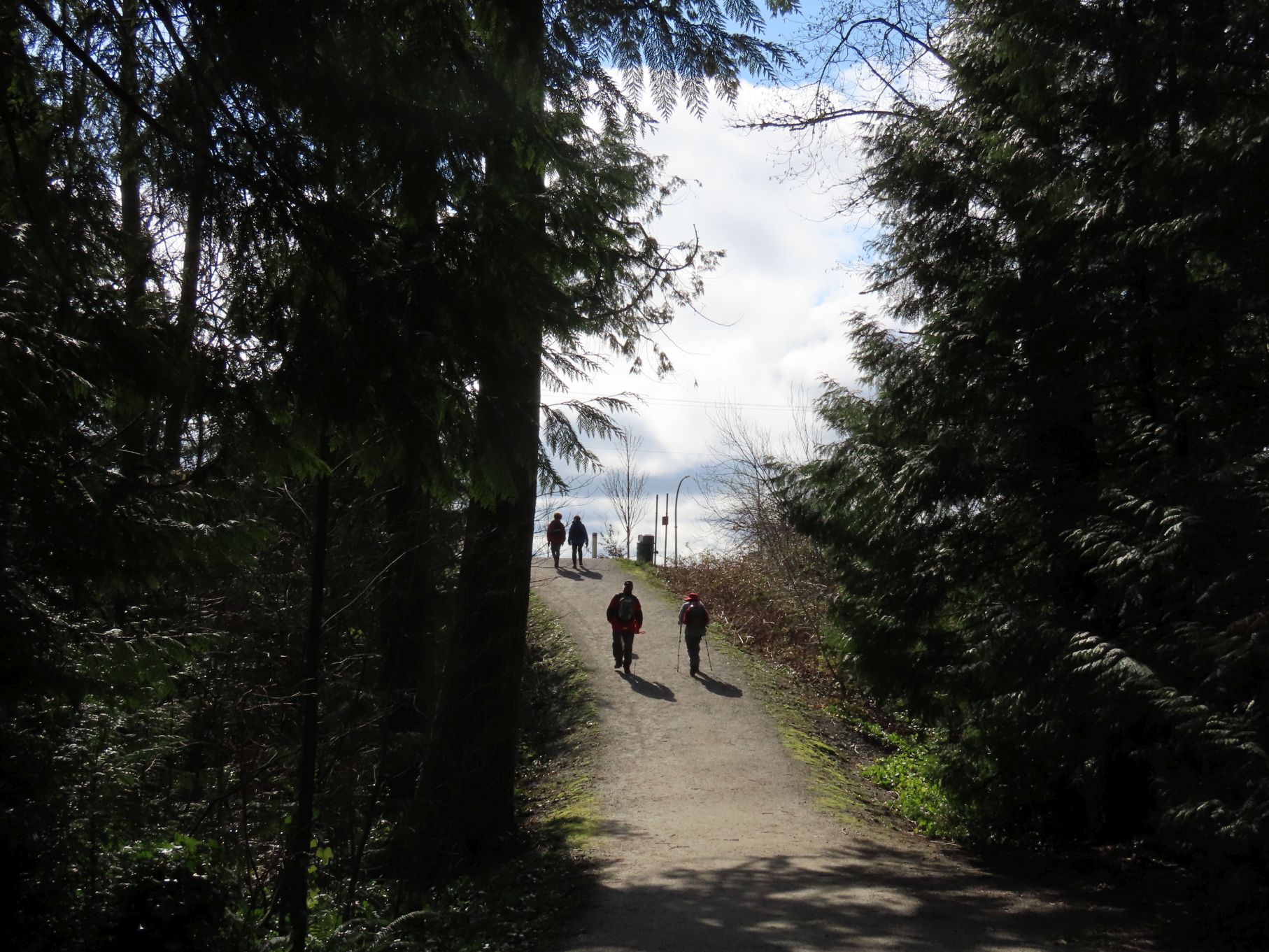
Gordon had promised those who had inquired that there was “just one hill” on the route; “a tiny hill” he claimed; “only 15 steps or so.” From the intersection of Byrne Road and Marine Way, this “tiny” hill (technically an escarpment) loomed, with Edmonds Skytrain station more-or-less at the top. Following the footpath we crossed North Fraser Way, some train tracks, arriving at busy Marine Way, which we crossed using the pedestrian crosswalk at Byrne Road. From there we continued for several urban blocks until we reached the relative peace of Byrne Creek Ravine Park, which offers two entrances at this end: one on the creek’s west side, and another on the east. Gordon’s route would take us up the east side of Byrne Creek Ravine Park along a steepish trail, and down the other (via a staircase of near-infinite length), into Byrne Creek Ravine. Byrne Creek Ravine Park is quite a lovely setting, made more so by the fact that it is a mere stone’s throw from the urban densities of Kingsway and Metrotown.
Near the top of the east side path, we discovered a mysterious L-shaped stone wall and clearing, which later research (including this Reddit thread) determined to have originally been part of “the country estate of [Christian] and Ida Effinger.” The flat area had likely been cleared and levelled to serve as some sort of games ground (or possibly a UFO landing pad). The overhanging trees are black walnuts, and help to create what one respondent described as “a Blair Witch vibe.” Which may explain why we didn’t linger.
Mysterious L-shaped stone wall (and possible UFO landing pad?)
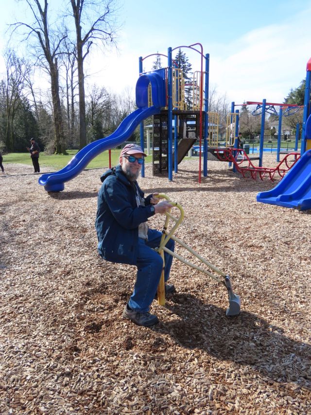
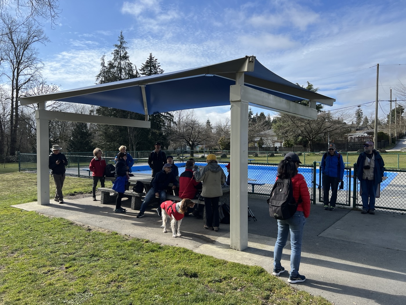
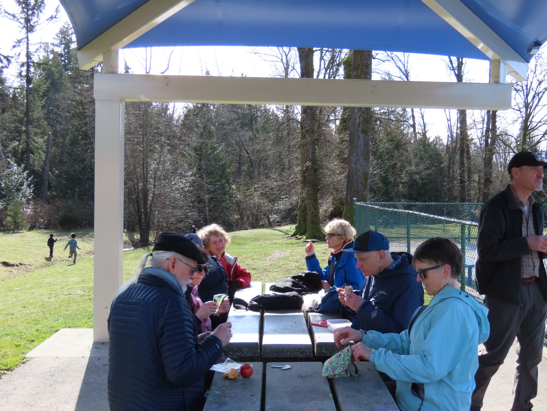
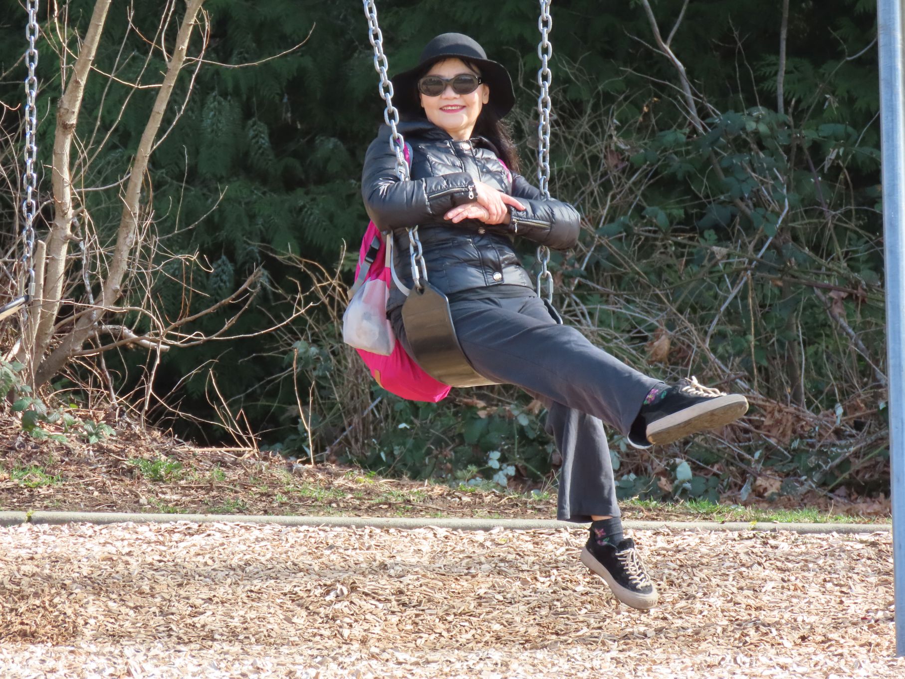
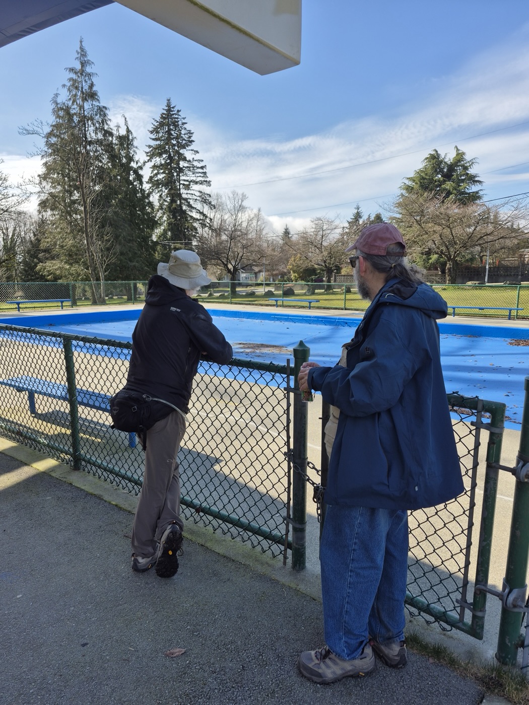
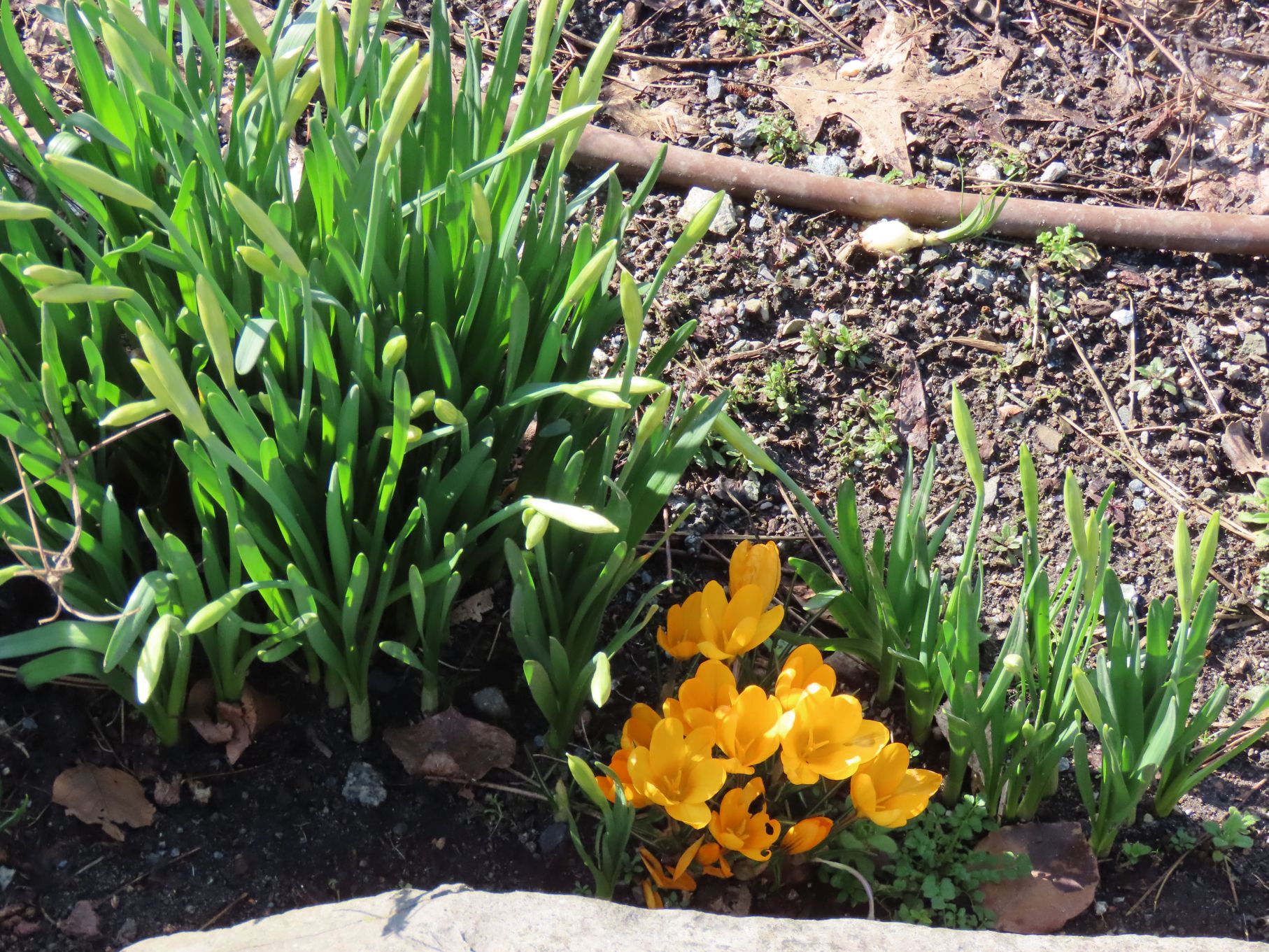
Near the top of the creek’s west side, Ron McLean Park (“Kid-friendly · Sports Facility · Tree”) proved perfectly situated for our mid-walk snack break. An empty wading pool gave everyone an opportunity to contemplate the void, and the playground gave Looper Jon a chance to demonstrate that he’s still basically a kid at heart.
Can you dig it?
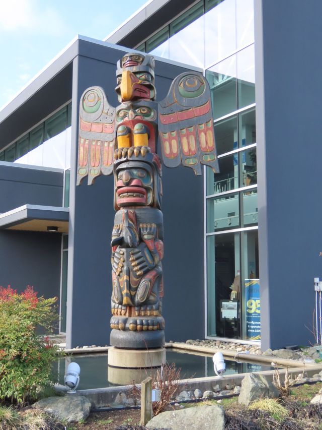
After our snack break we headed down the 200 (more or less) steps into the ravine. As some may remember, we had previously encountered these stairs 9 years ago in an uphill direction, on a Looper walk in March of 2016. During our 2025 descent of this staircase we were passed multiple times by a jogger who appeared to be searching—upstairs and down—for his shirt. At the bottom of the staircase we found Byrne Creek itself, just where it should be: nestled in its ravine with our path running alongside. This path led us back to Byrne Road, and from there we simply retraced our route, pausing to admire a totem pole in front of Jordans Flooring. Looper Carol did some research on this totem pole and has this to say:
Totem pole by Tom D. Hunt
Jordans Totem Pole was commissioned in 2009 and completed 20 months later by Tom D. Hunt, a master carver from Fort Rupert. This “traditional Kwakwaka’wakw pole was carved fully in the round” which means it was carved on all sides. The totem is displayed “in recognition of the contribution of the First Peoples of the Northwest Coast.”
Tom D. Hunt is a member of the Kwakwaka’wakw Nation and is the son of Hereditary Chief George Hunt and Mary Hunt. “Tom began apprenticing in Kwakwaka’wakw art with his father at the age of twelve and later worked with his brother George Hunt Jr”
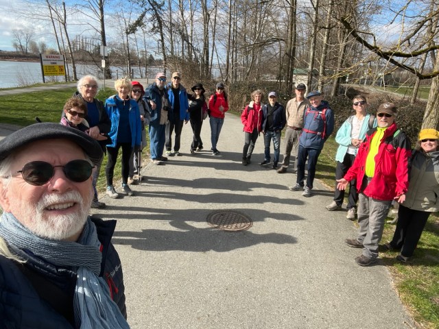
The walk ended where it began: at Burnaby Fraser Foreshore Park, where we took a final group selfie, just for the heck of it.
Ending selfie
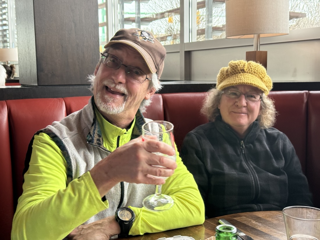
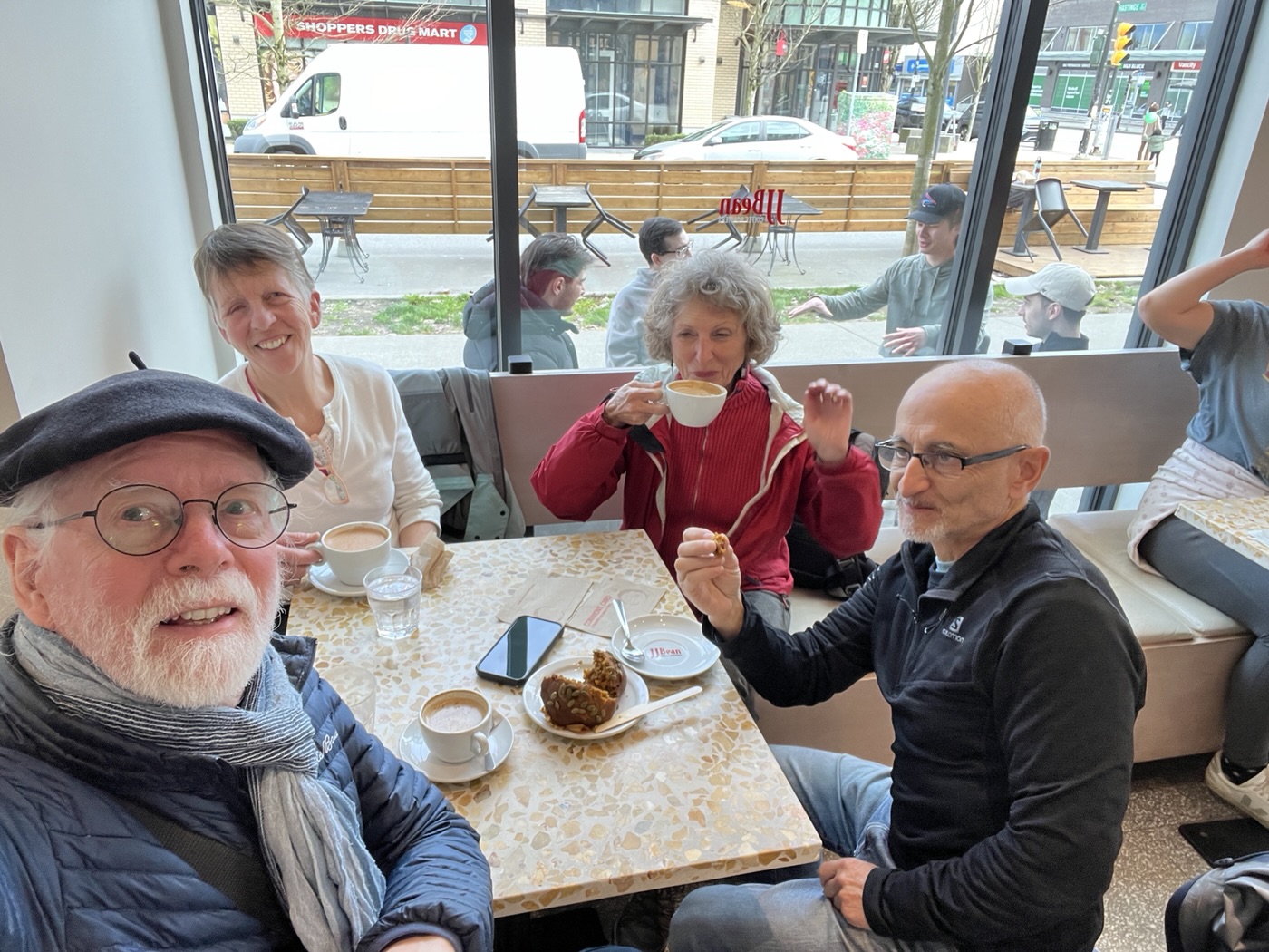
Pubbish afters took place at a nearby Cactus Club, with Angela R joining; a caffeinated version took place at J.J. Bean on East Hastings.
Route map
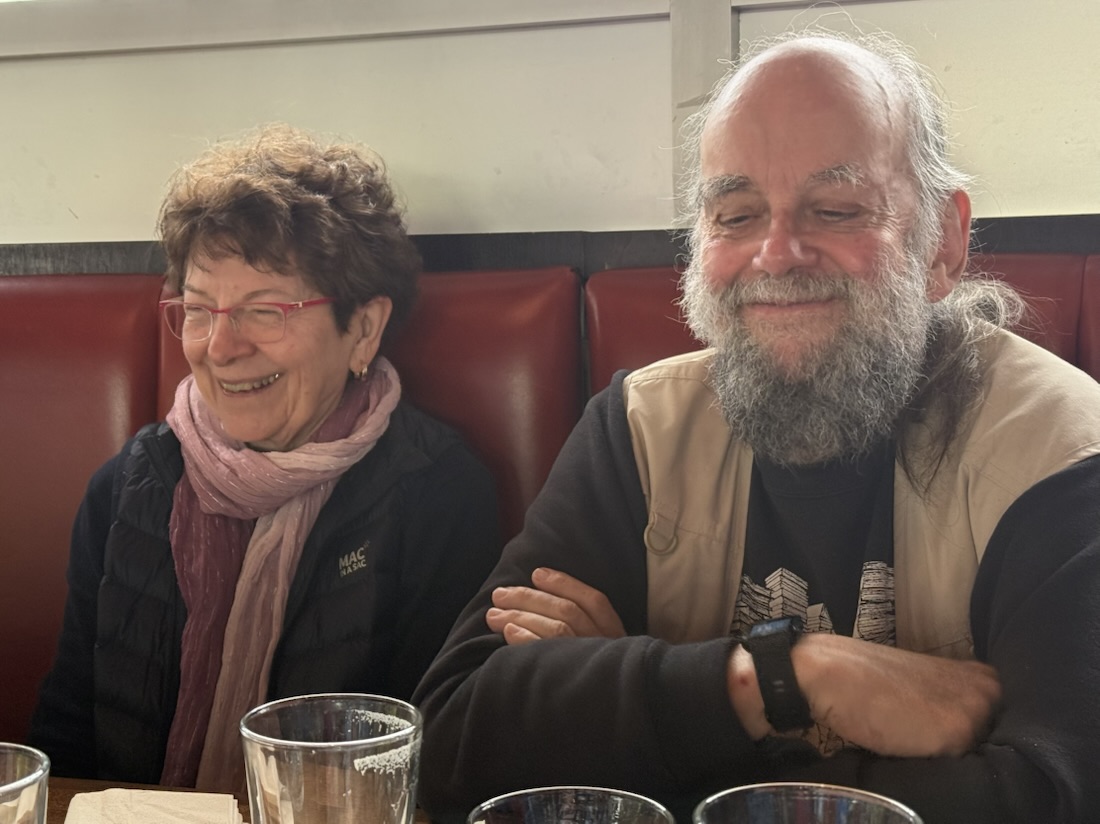
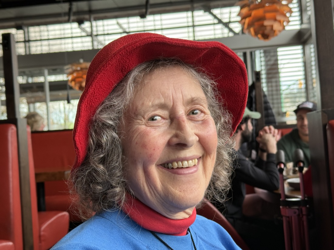
Photos contributed by: Jon, Angela, Carol and myself.


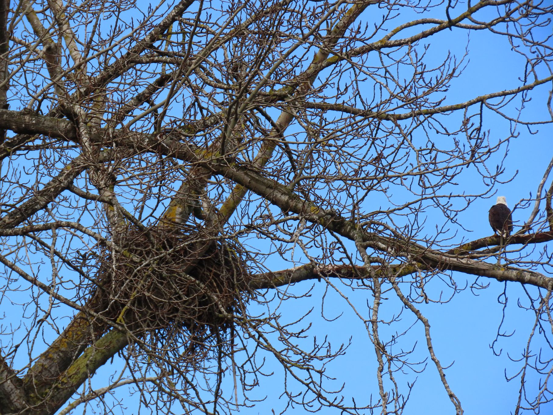
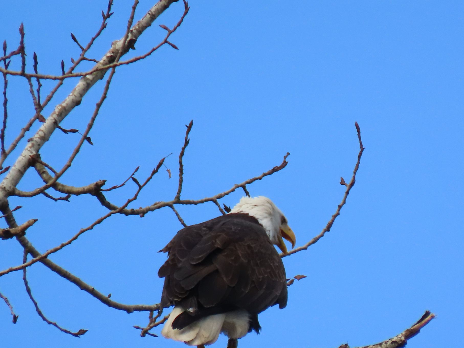


Lost in time, indeed!
LikeLike
😊
LikeLike