
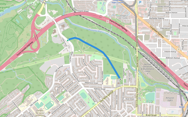
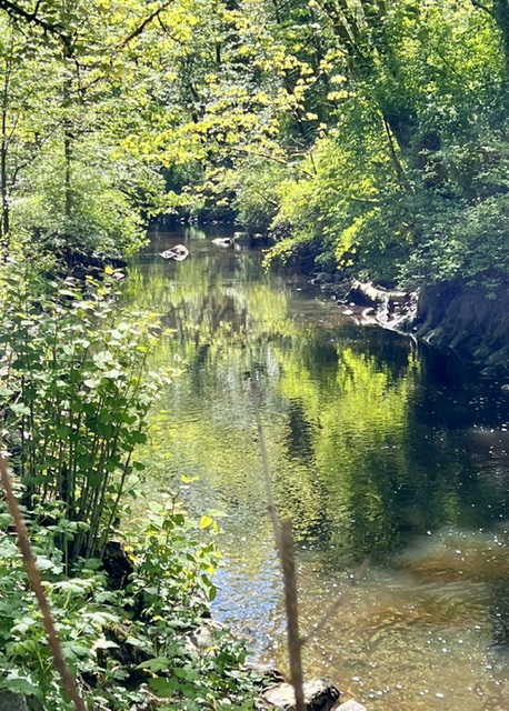
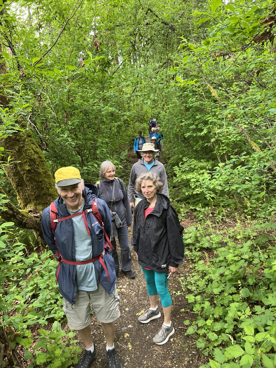
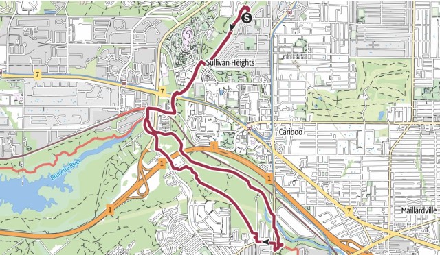
The May 4th Looper walk was led by Jean and Michael (May the Fourth be with them!), who had chosen a route based on a subset of the walk we took in February of 2022, which was thoroughly described by Jon in the blog entry for that walk. If you consult the map at the end of that posting, you’ll see that we walked a heroic 16-plus km on that occasion—ah, to be young and vigorous again!—and the route map described not one, but three loops. This month’s shortened version was a single loop, the loop made possible by our return along a little-used trail that follows the route of the old Burnaby Lake interurban railway, on the south side of the Brunette River (see route map of this trail just below, in blue). More about this trail later.
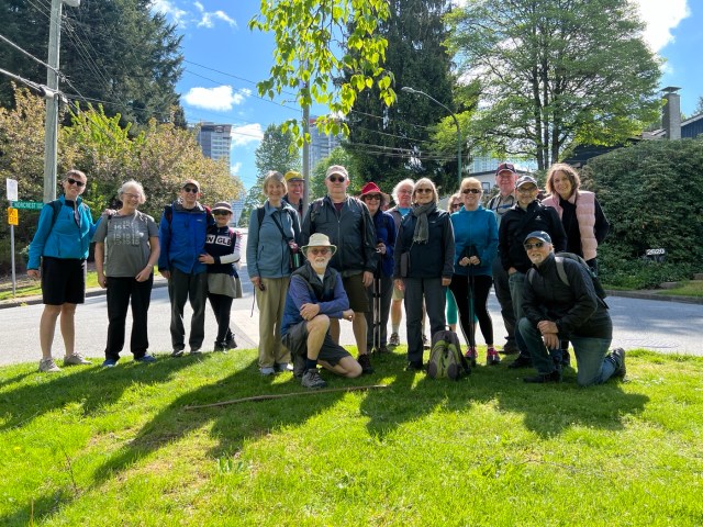
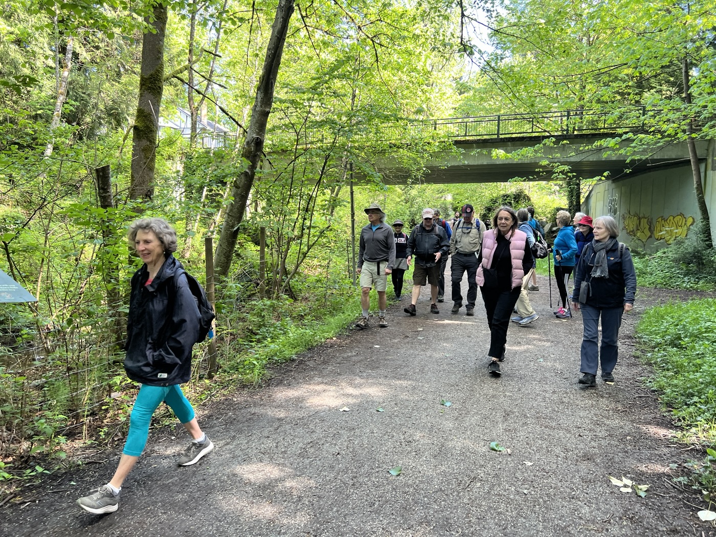
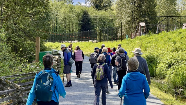
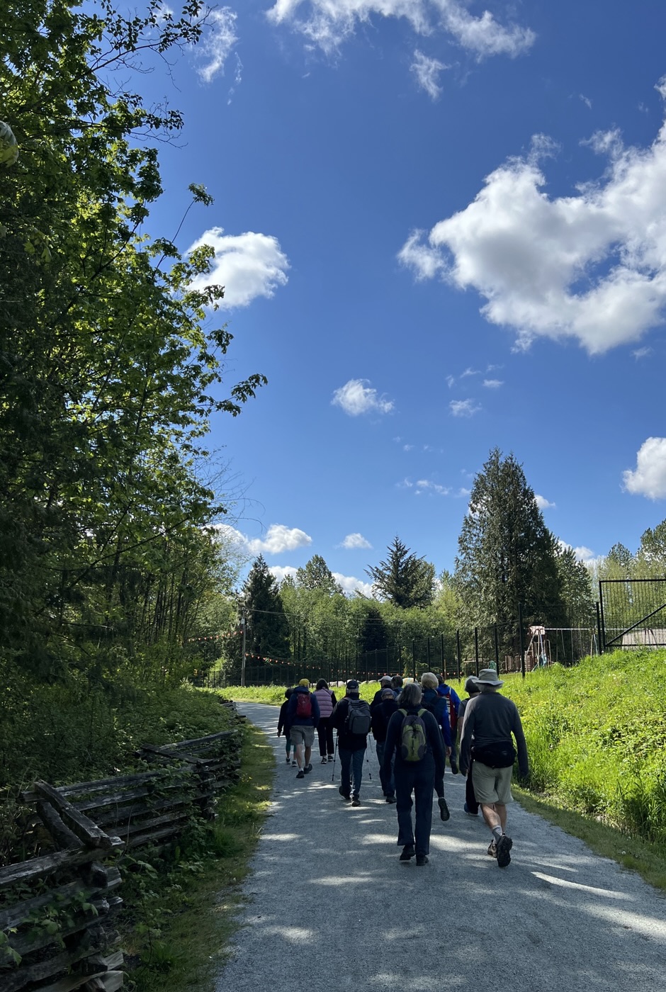
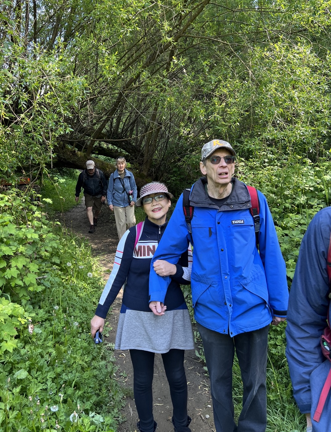
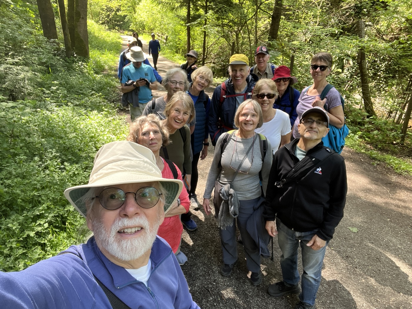
Seventeen Loopers met up at our starting point, on a residential street just east of Stoney Creek. Several Looper regulars were absent for various reasons, though a pair of them appeared magically at Afters.
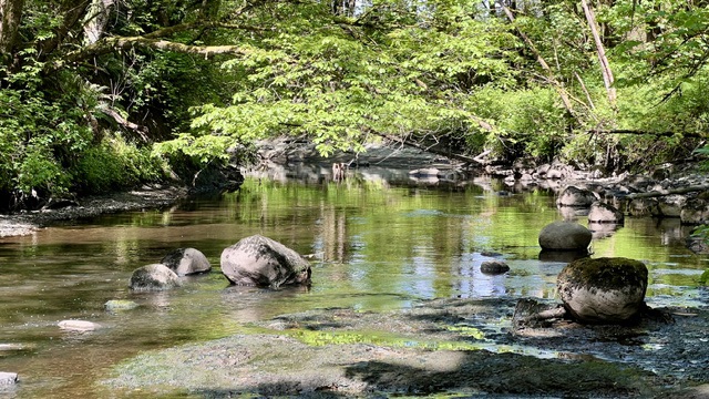
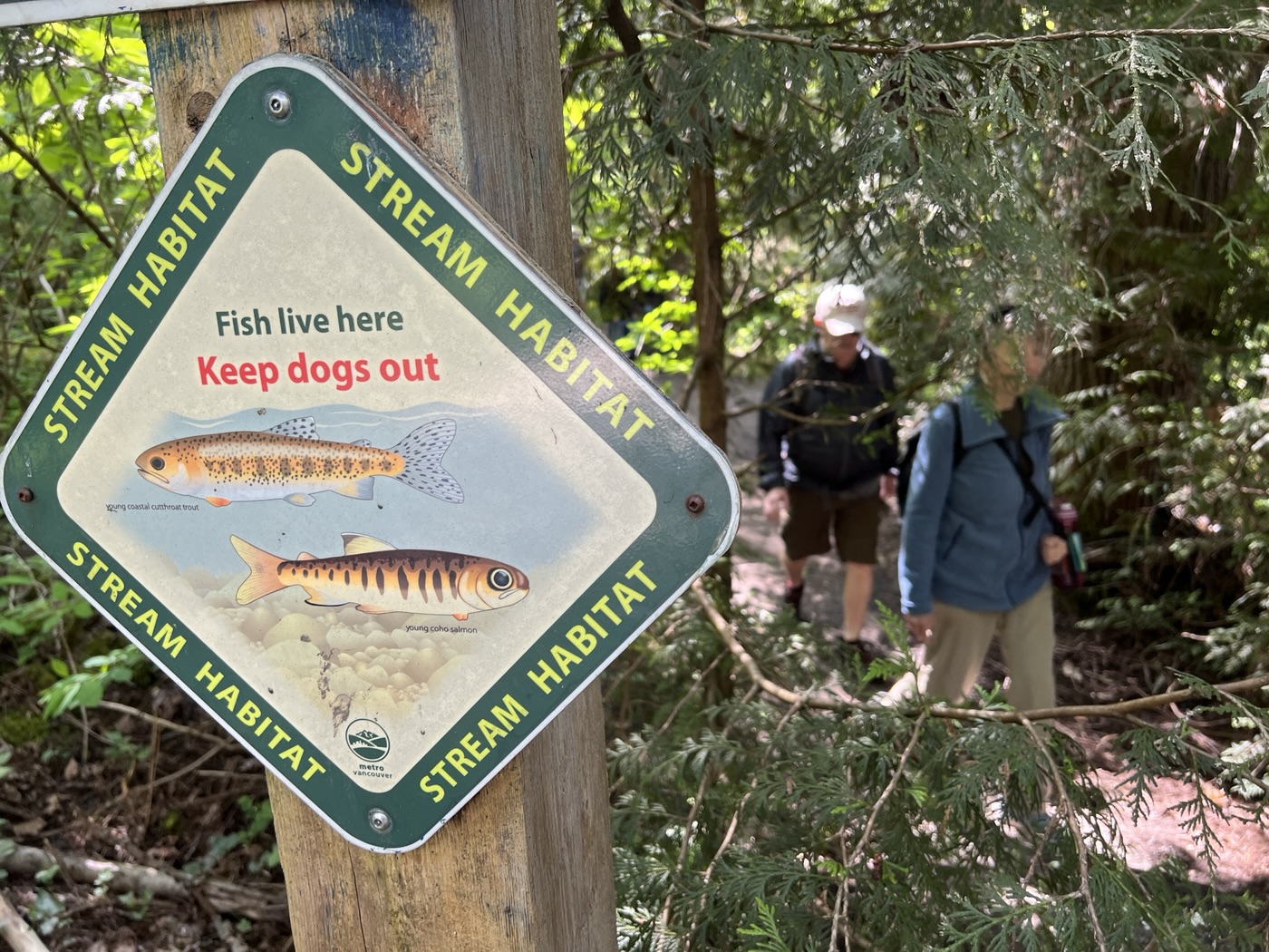
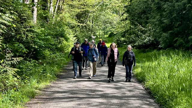
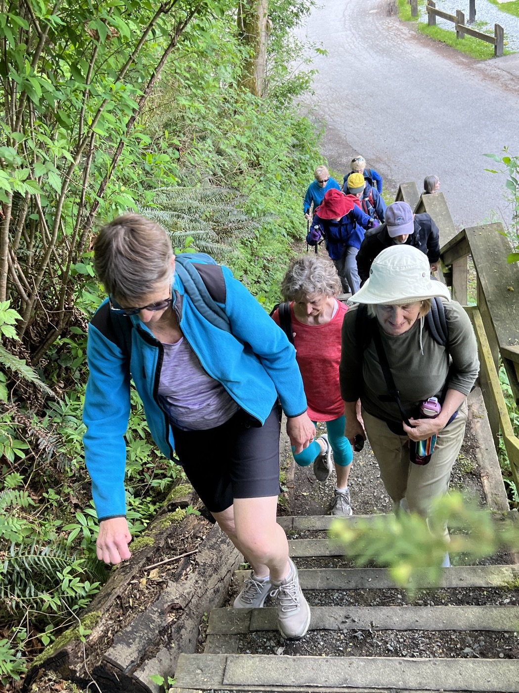
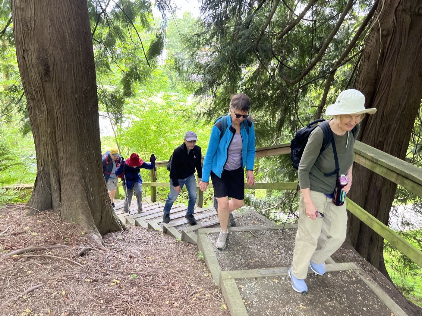
After posing for the traditional starting selfie, we set out, taking a hidden staircase which connects to the walking trail along Stoney Creek. In our excitement we failed to note that Adrienne had been delayed en route (which explains her absence in the group selfie above). Fortunately, thanks to the miracle of text messaging, we realized our error soon after starting out, and paused until Adrienne caught up. No Looper (deliberately) Left Behind!

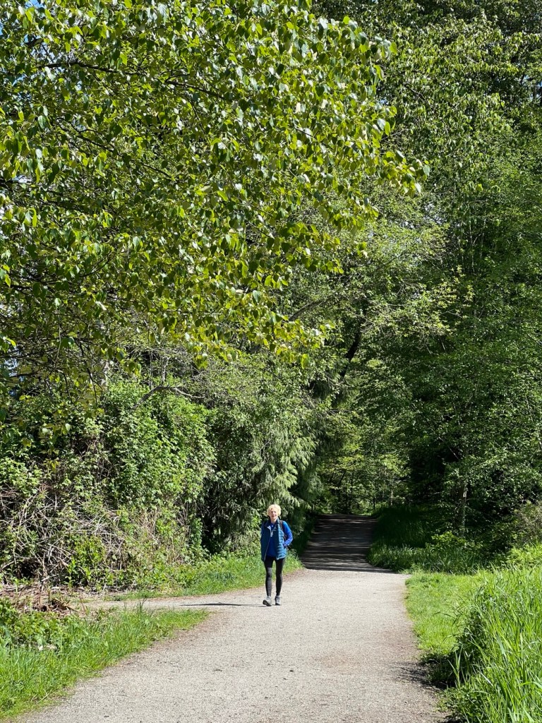
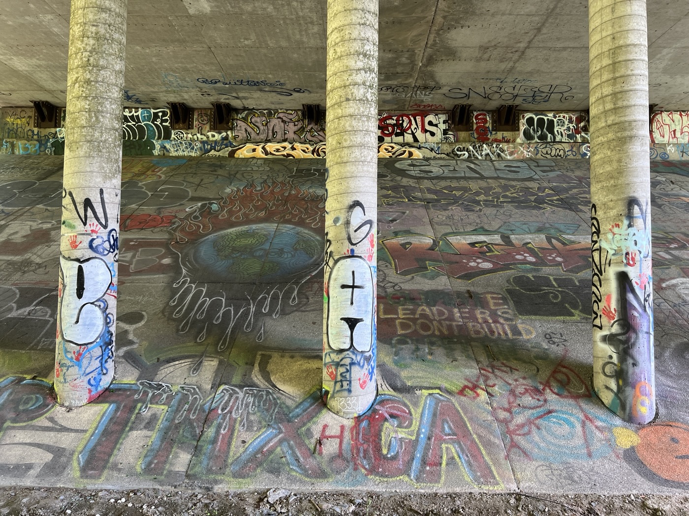
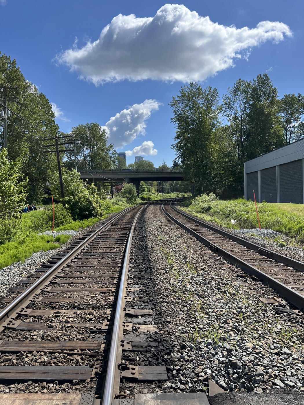
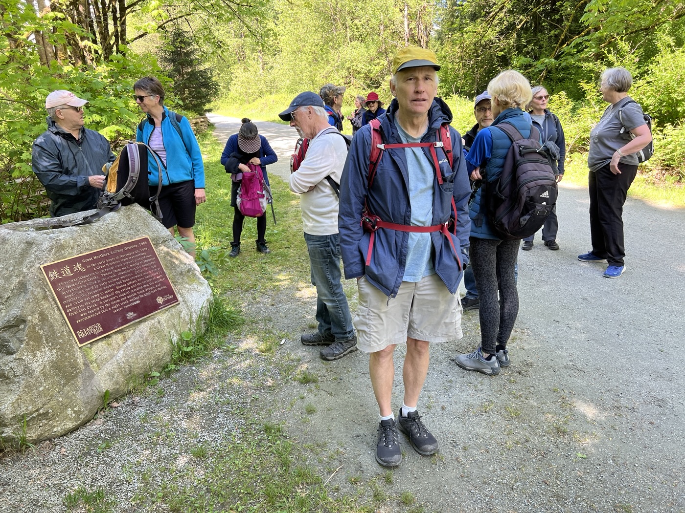
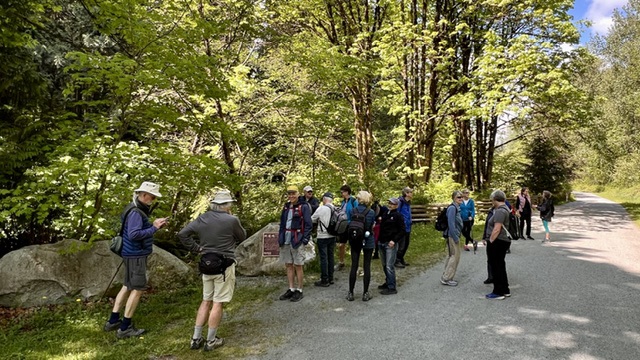
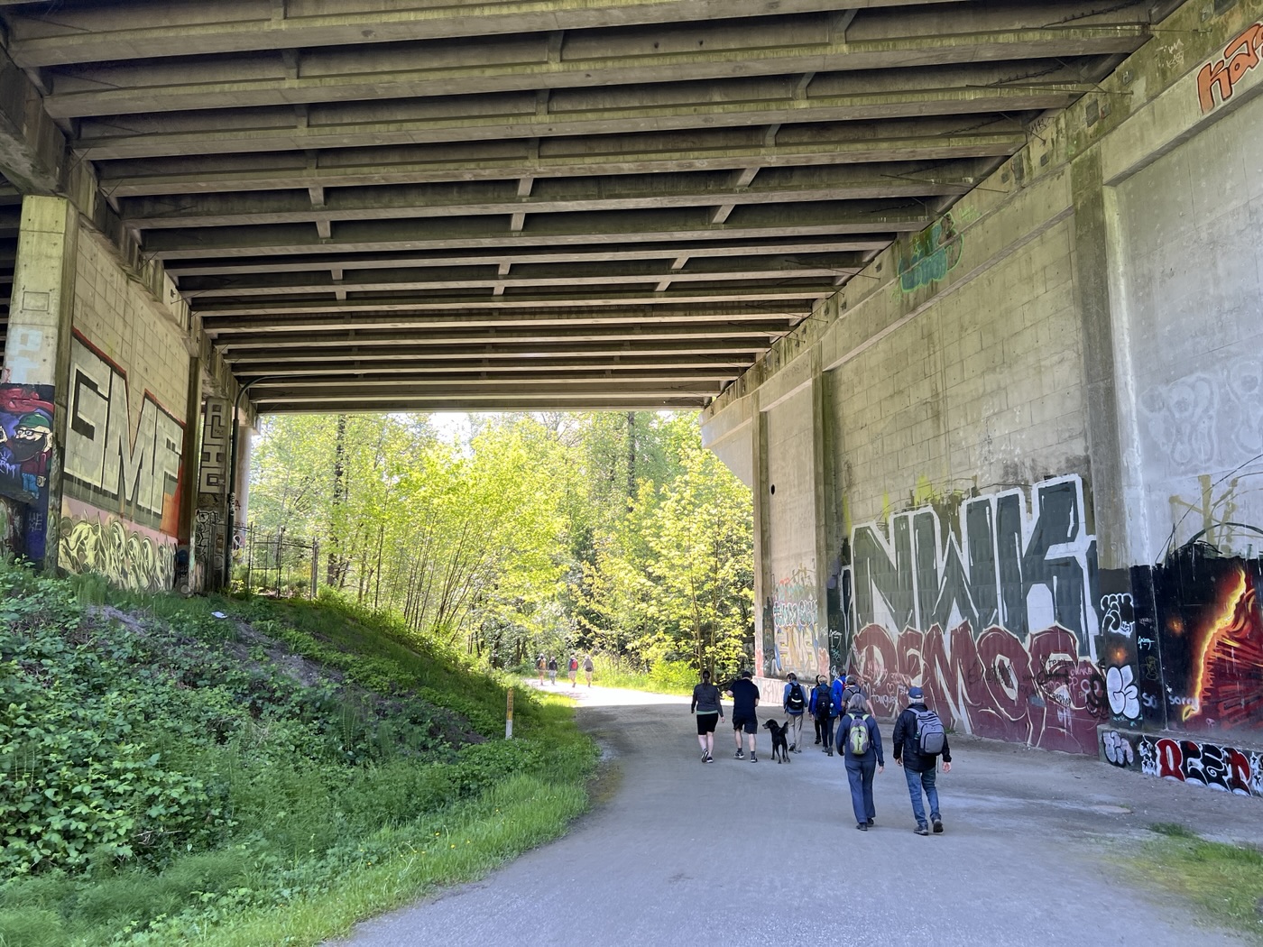
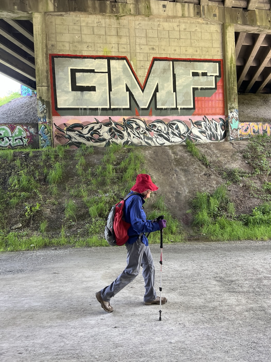
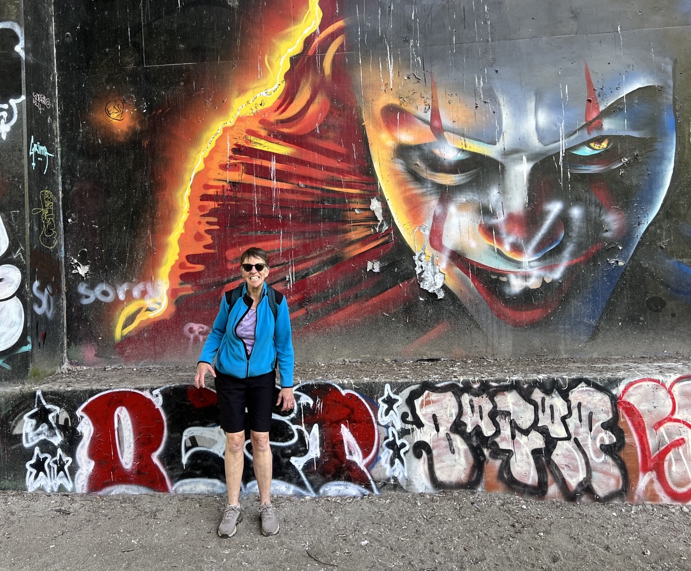
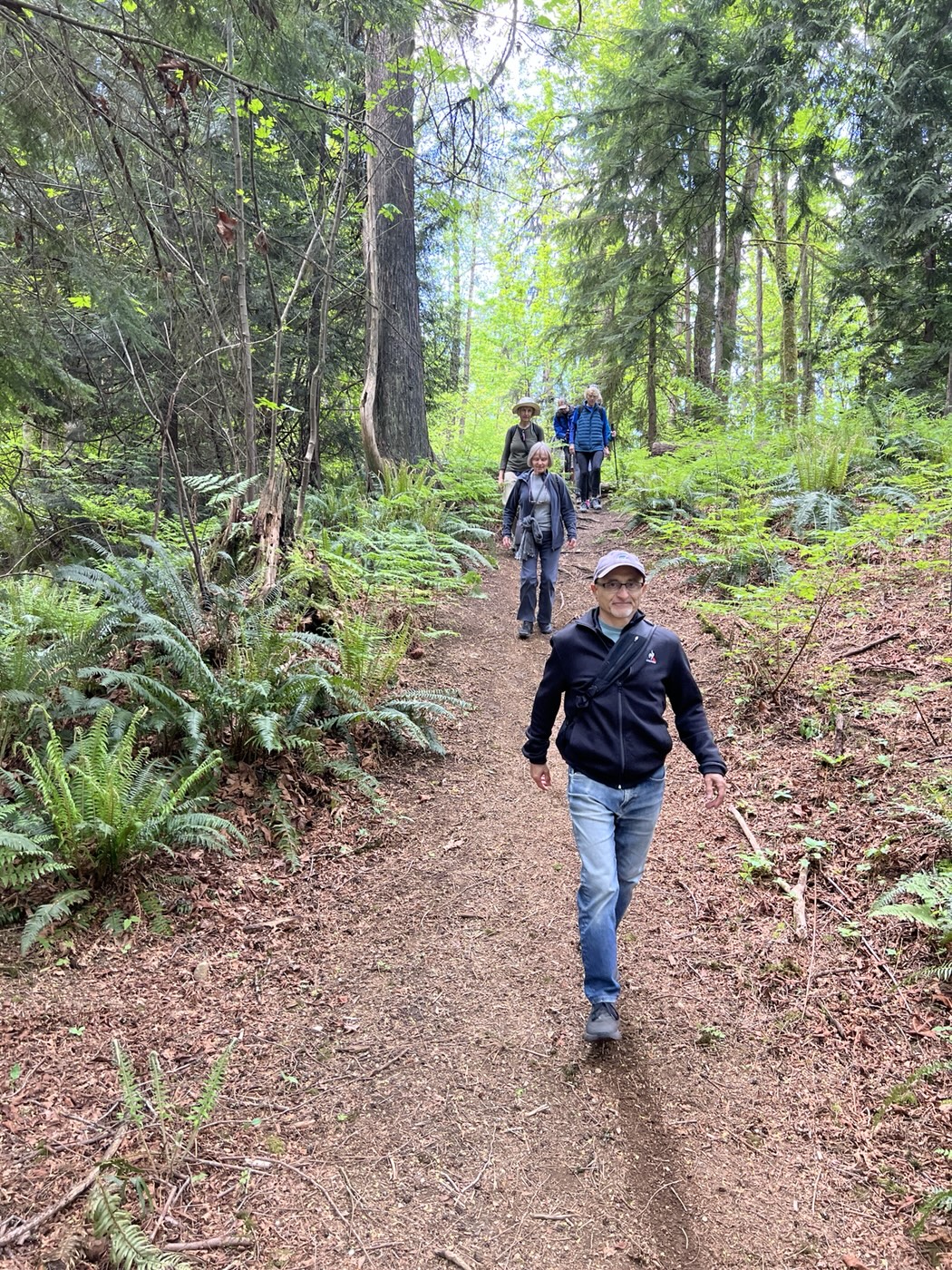
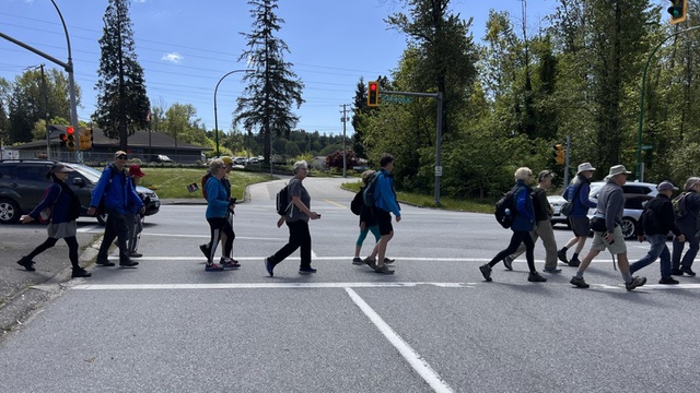
The Stoney Creek trail crosses under Lougheed Highway, where a variety of fine graffiti art is displayed, and ends at Government Street. After crossing Government Street, and the railway tracks (at Cariboo Road), we headed east on the Central Valley Greenway trail, which follows the north side of Brunette River to North Road. As before, we paused to admire the memorial to the Great Northern Railway Disaster of 1909.

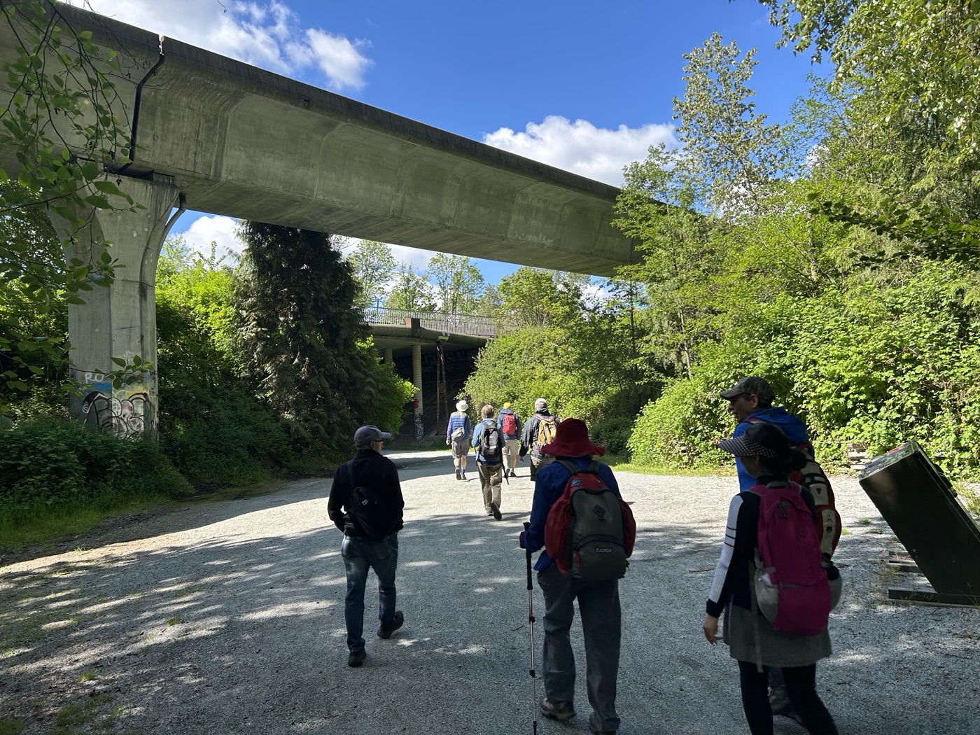

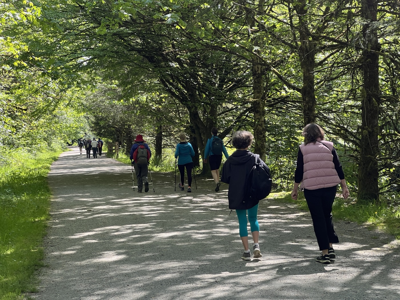
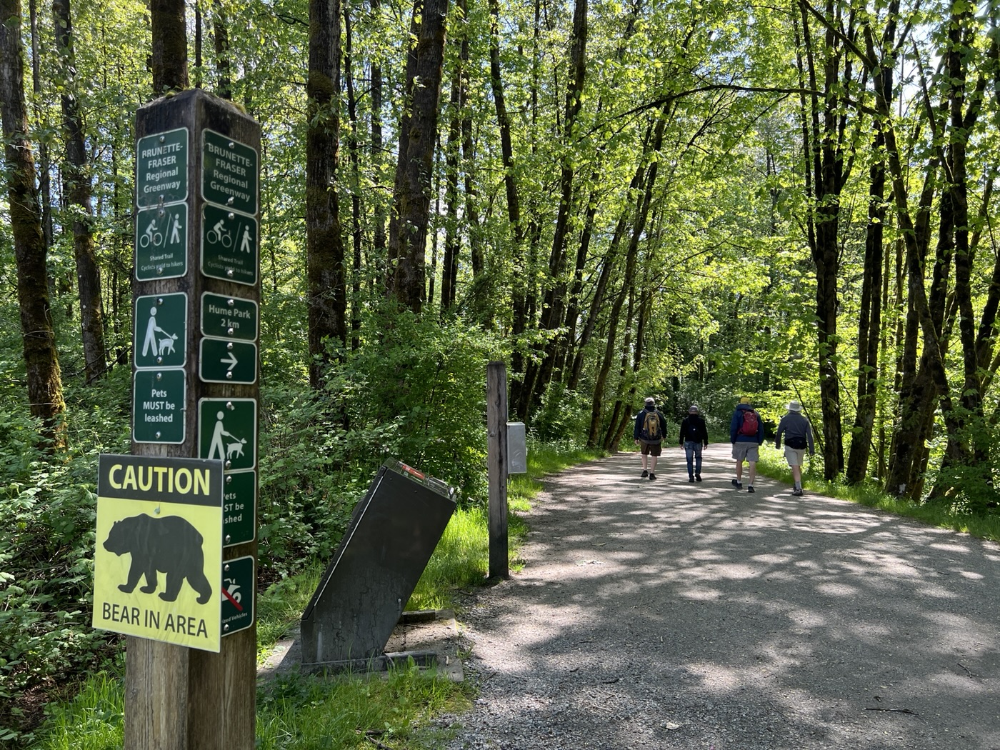
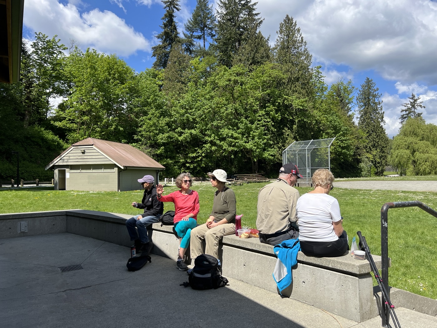
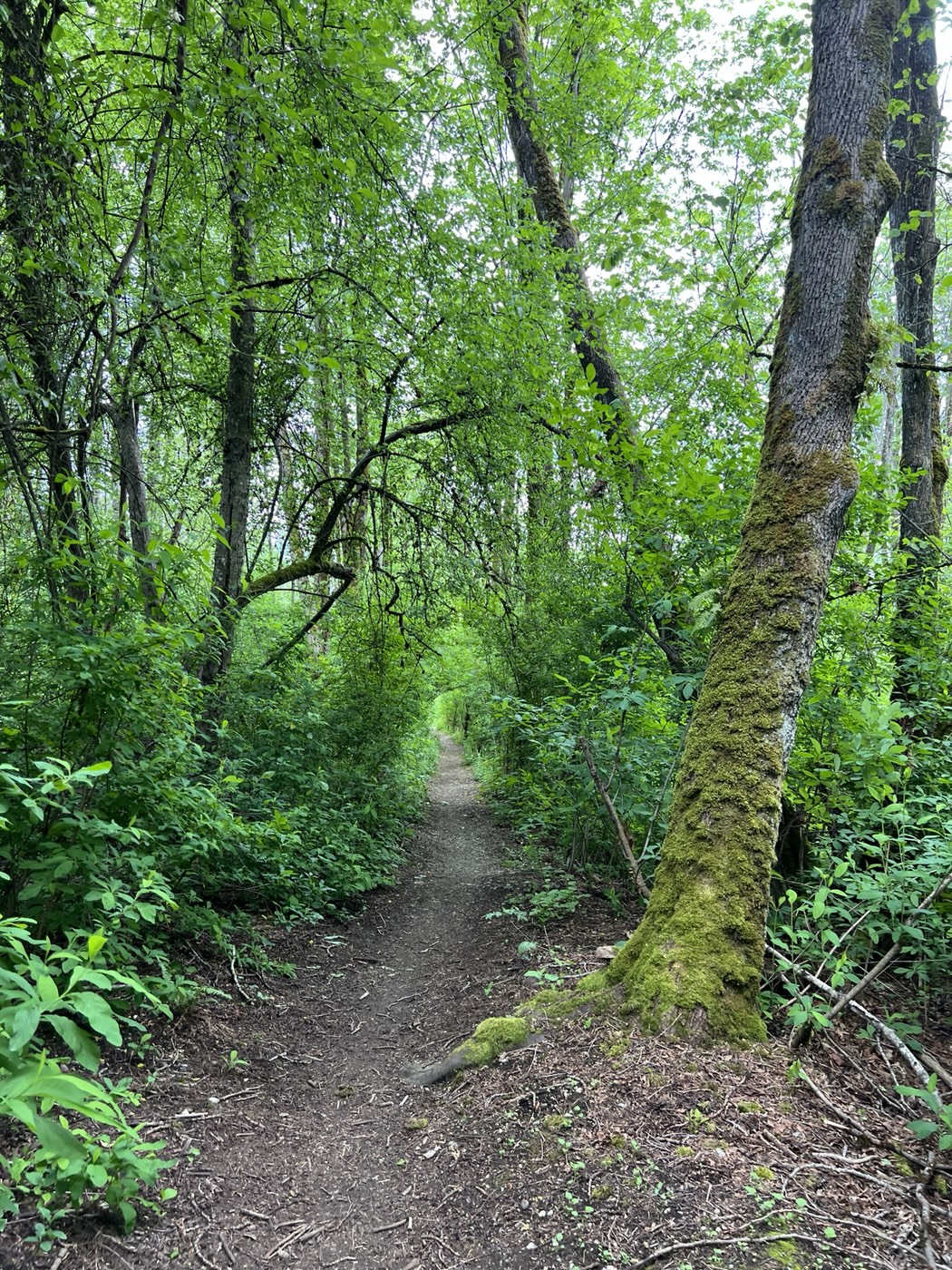
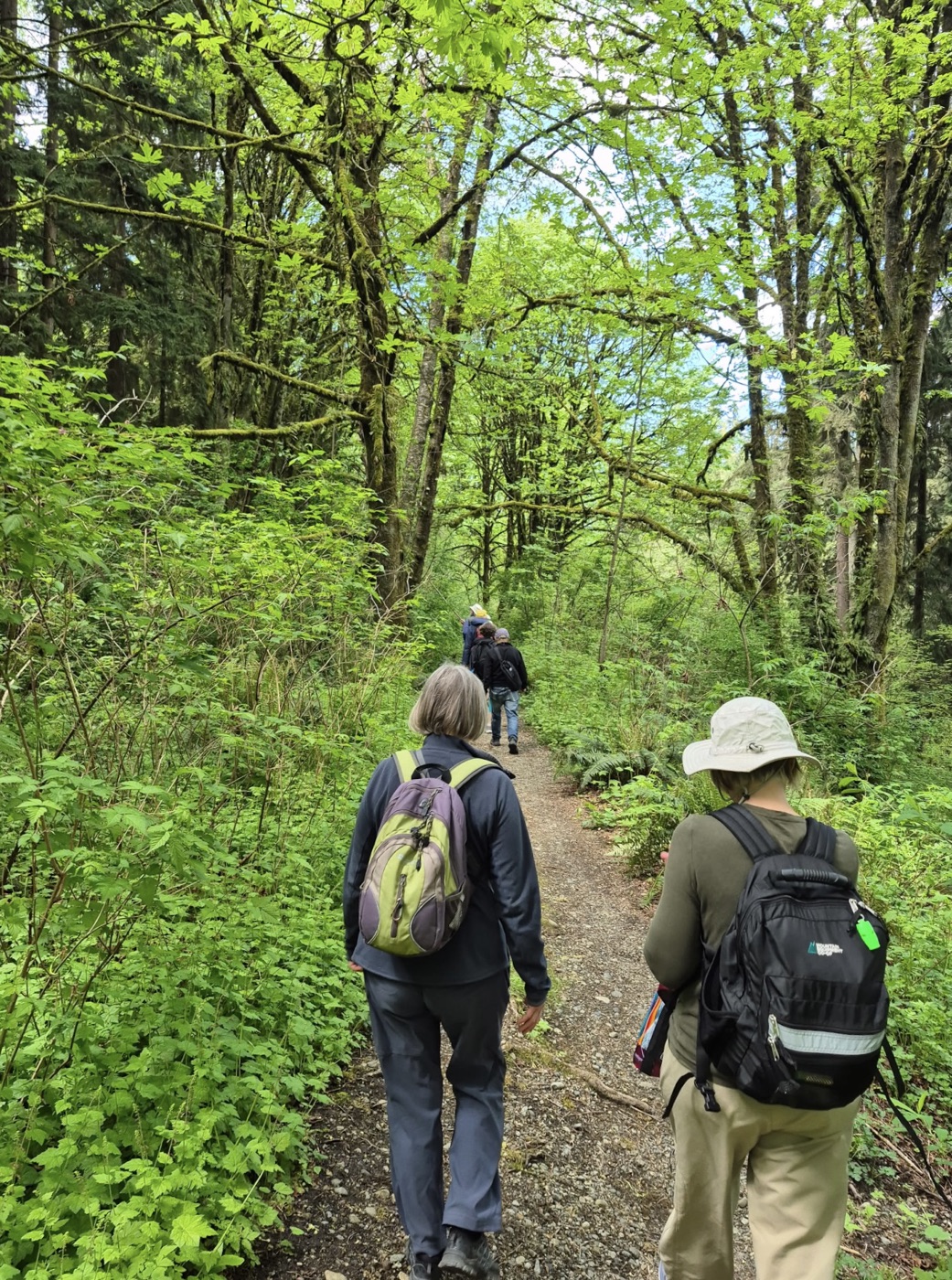
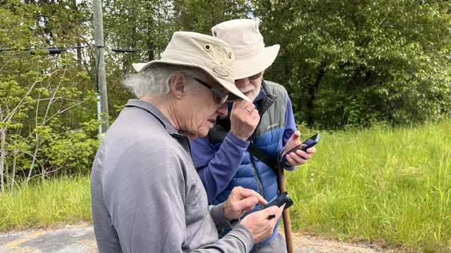
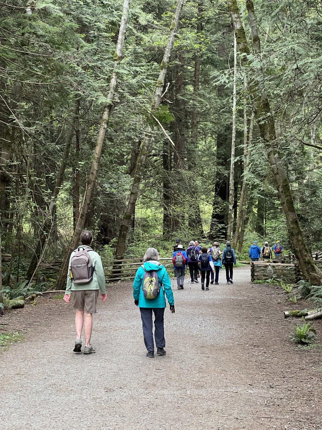
Crossing North Road, we entered Hume Park, where we took our snack break at the covered picnic area. After the snack break, we climbed the stairs to North Road (aka East Columbia Street), and then proceeded uphill along Holmes Street to Craig Ave, to locate the start of the path which follows the old Burnaby Lake interurban line. The path starts about a block down Craig Ave, and wanders through the woods. Alan used the Outdoor Active app to help us navigate through the underbrush to the parking lot of Cariboo Road Christian Fellowship. Exiting the CRCF parking lot, we turned right on Cariboo Road to cross Highway 1.


Speaking of the old Burnaby Lake interurban line, Jon did some research for the 2022 blog post, which I excerpt here:
The old Burnaby Lake interurban line once ran from New Westminster to Commercial Drive. (For those interested in things historical, there is a YouTube video of a tram running along the line from downtown Vancouver to Sapperton. At about the 13:45 minute mark of the video the tram approaches Cariboo Road and then travels along the stretch where we walked.)
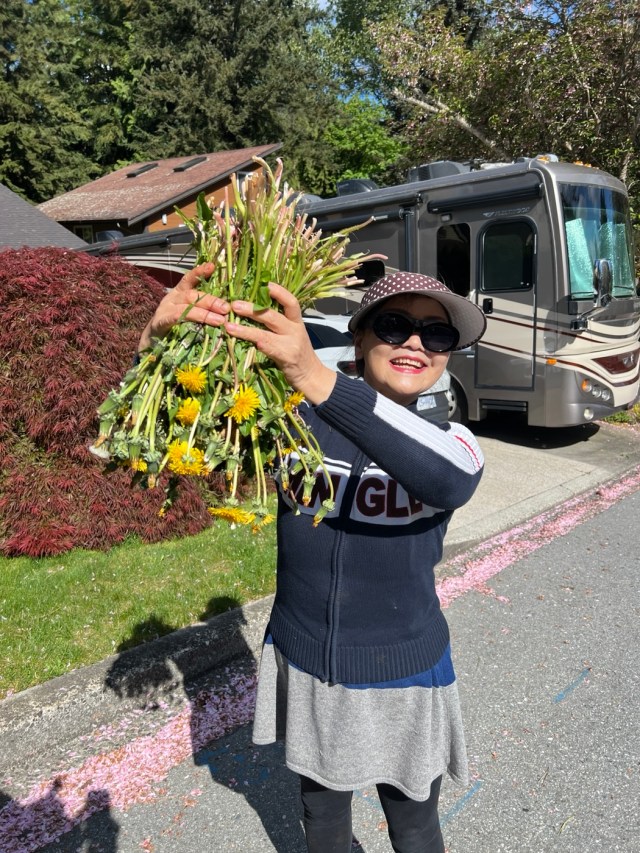
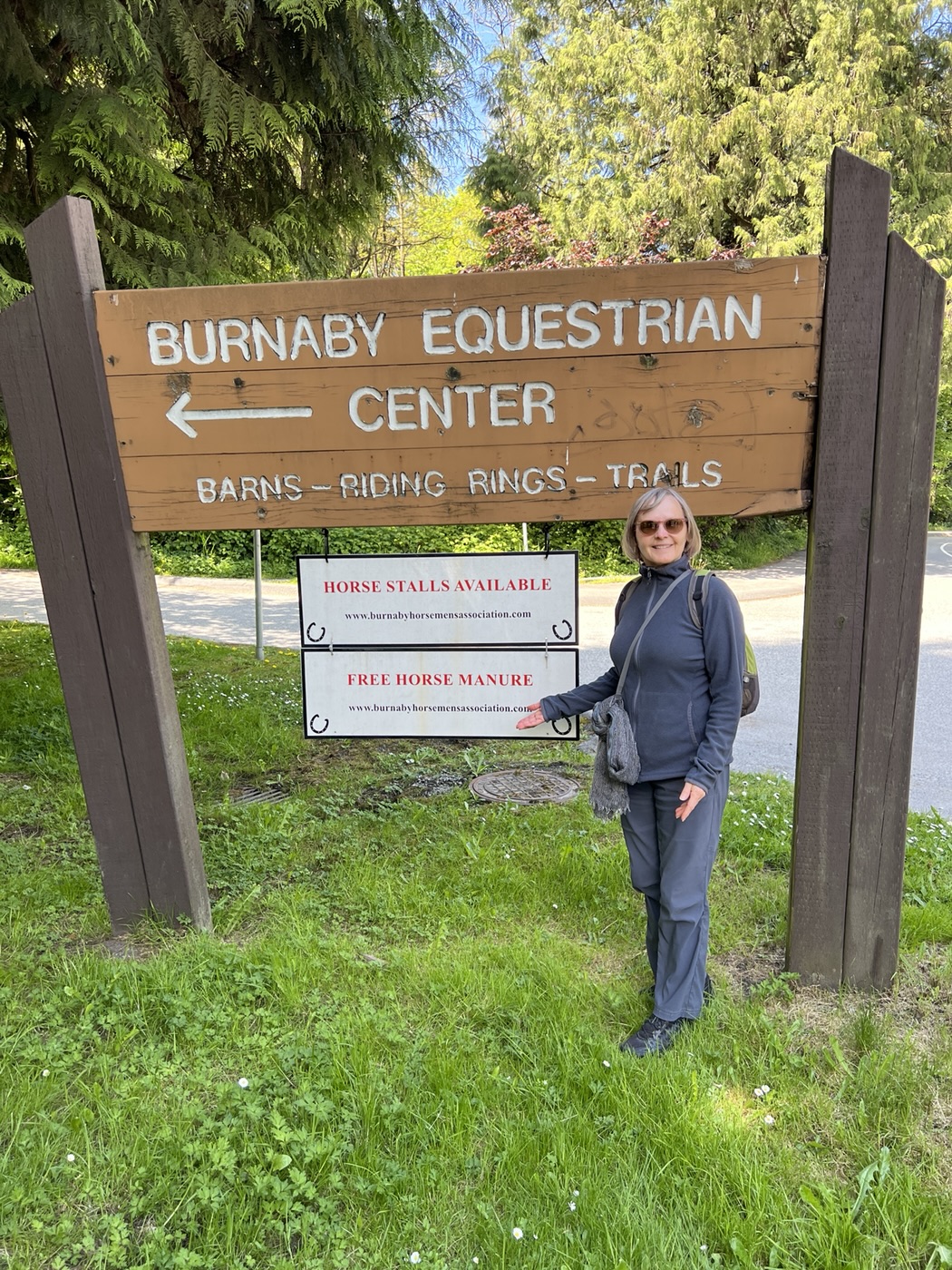
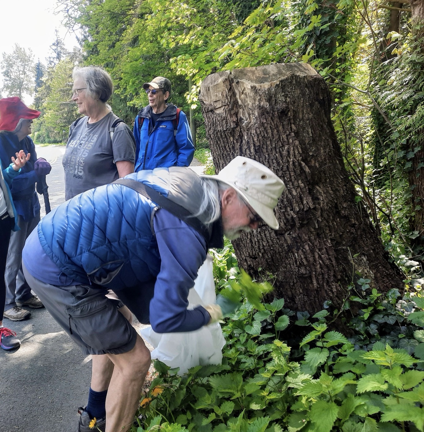
After crossing Highway 1 there was some discussion of the best (and safest) way to reconnect with the Stoney Creek trail, since there are no designated pathways in this area. In the end we chose to walk facing traffic along Cariboo Road, passing beneath Gaglardi Way. During this section we noted (but did not take advantage of) an opportunity to get free horse manure, but paused briefly to allow Michael and Jean to forage for nettles.

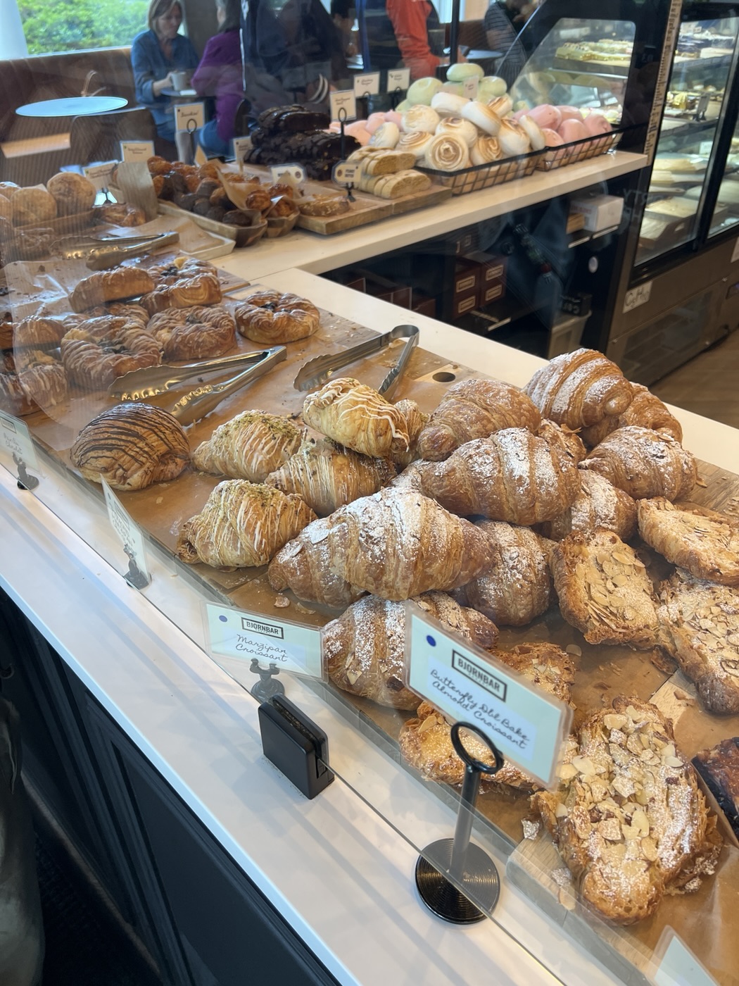
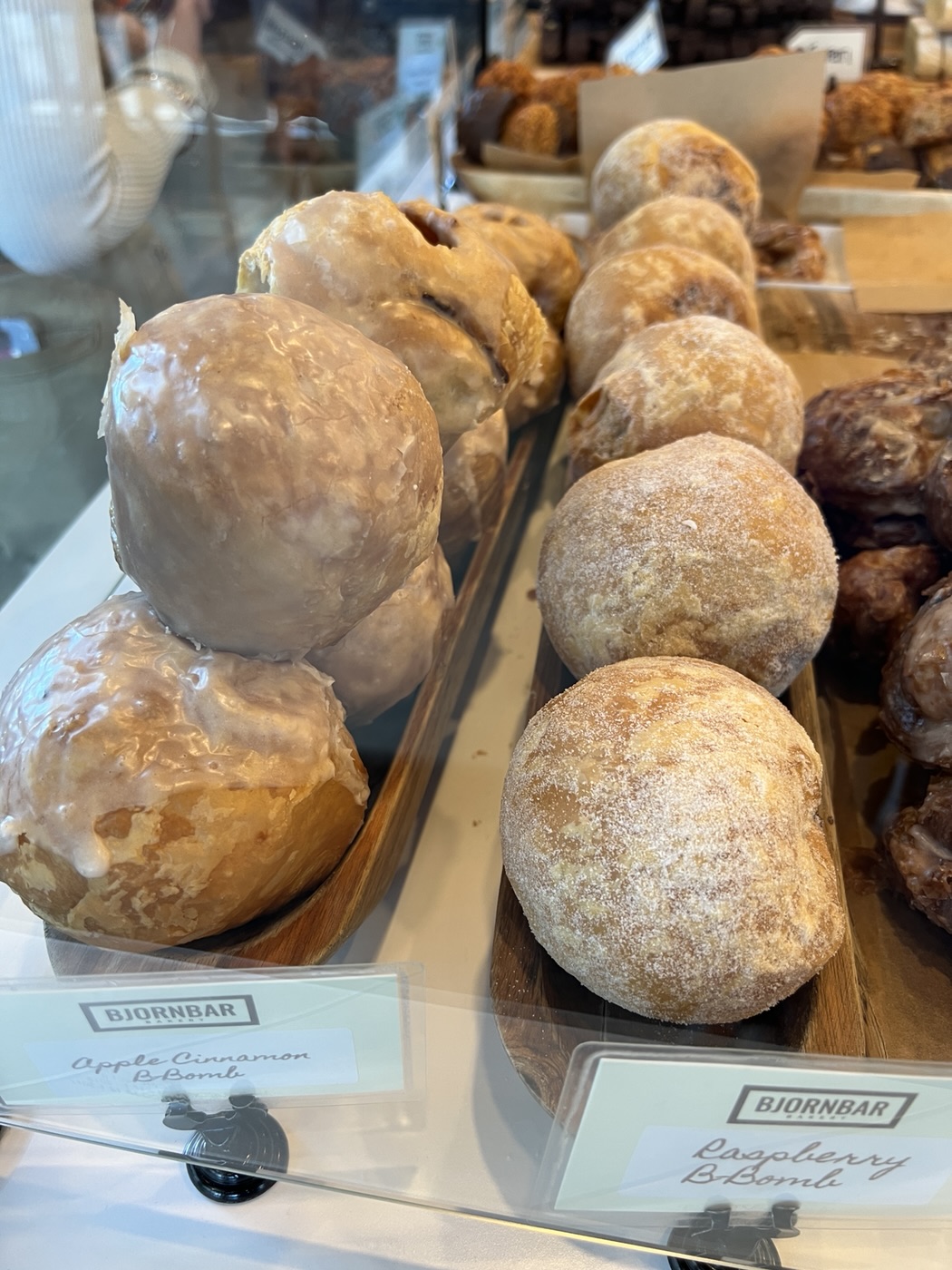
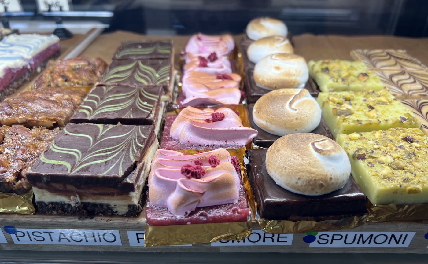
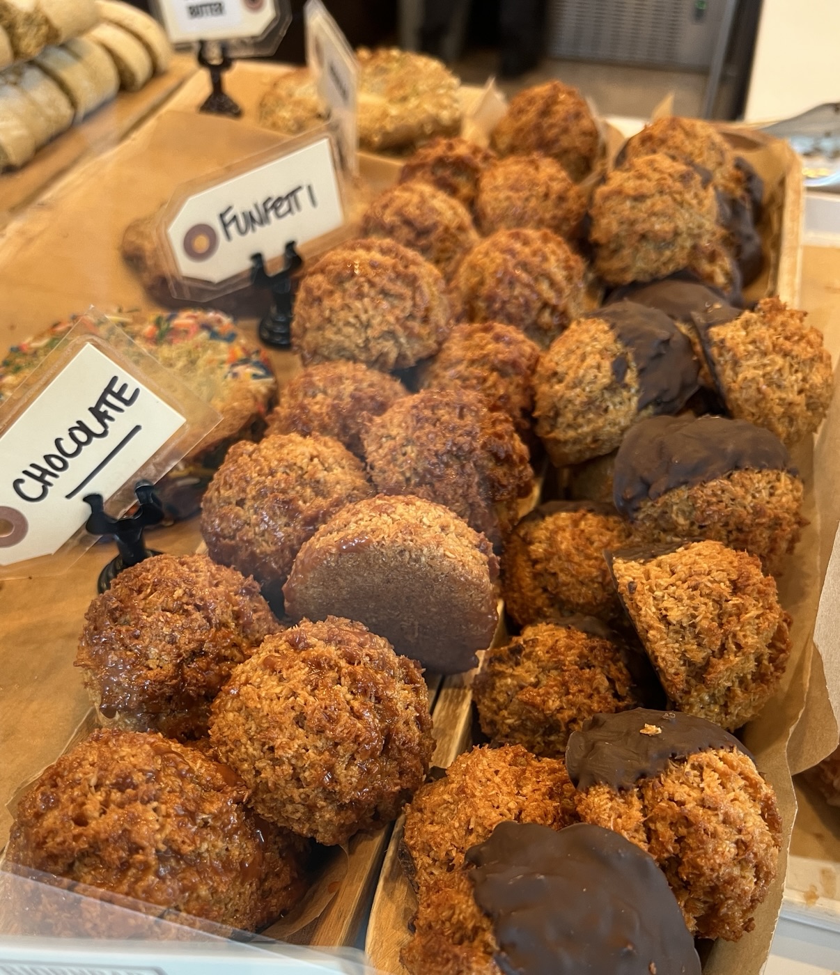
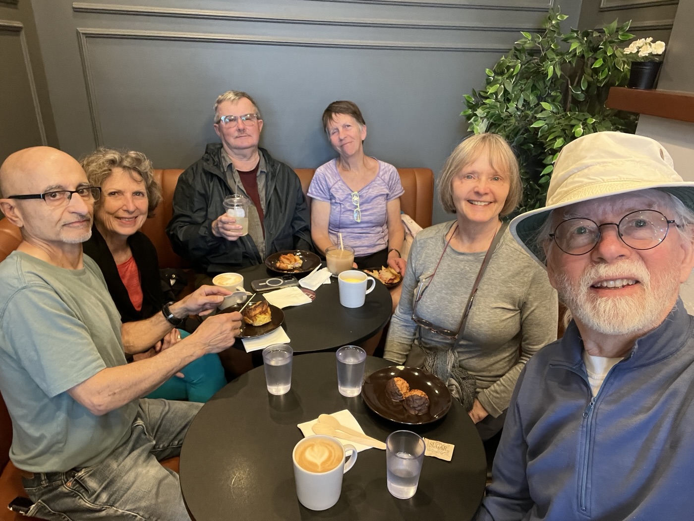
The final leg of the walk was our return up the Stoney Creek trail, back to our cars. After taking an ending selfie, we headed to one of two Afters locations (depending on your beverage preference). Caffeinated Afters took place at BjornBar Bakery on North Road (copiously documented below); non-caffeinated Afters took place at The Taphouse Coquitlam, where Dave and Angela joined (an undocumented event). And a good time was had by all!


Photos by: Michael, David S, Adrienne, Carol, and Bruce.
