

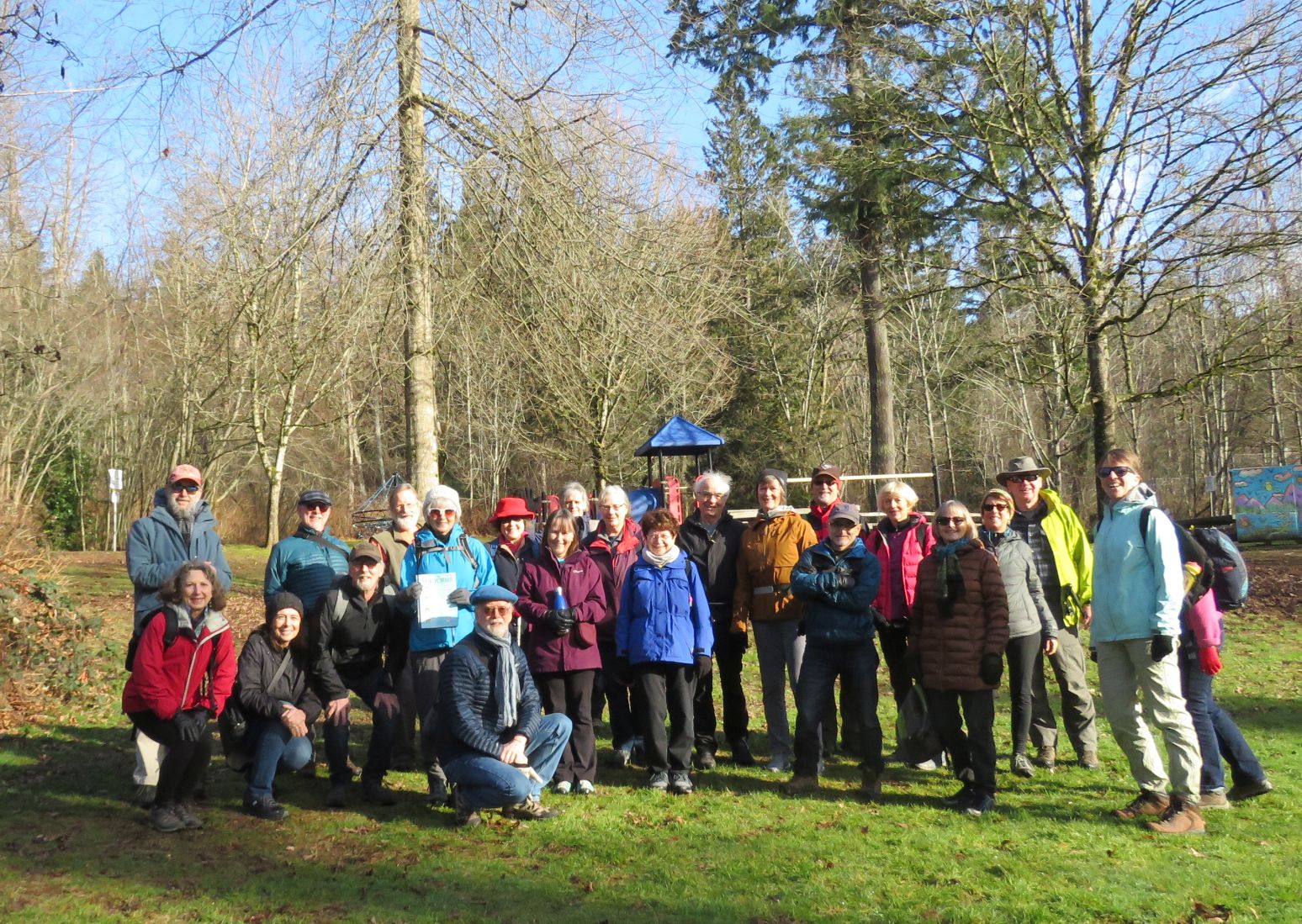
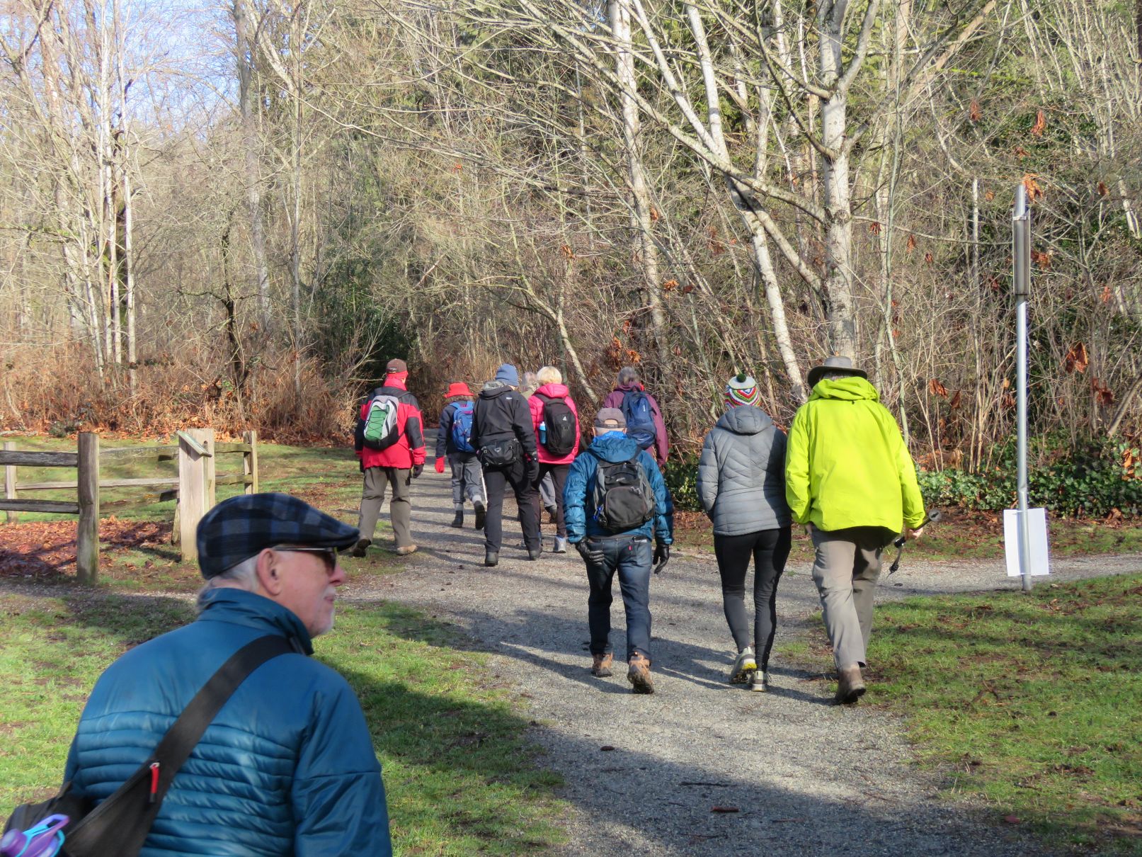
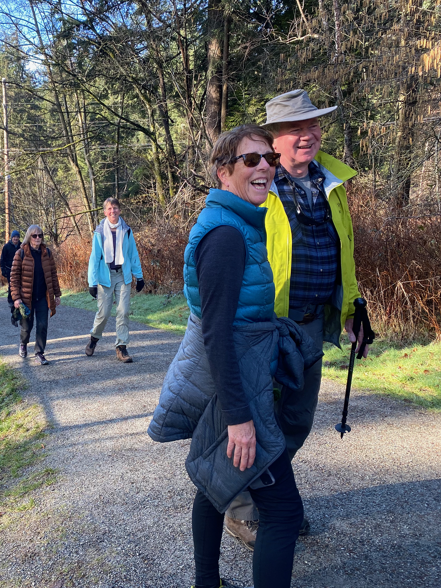
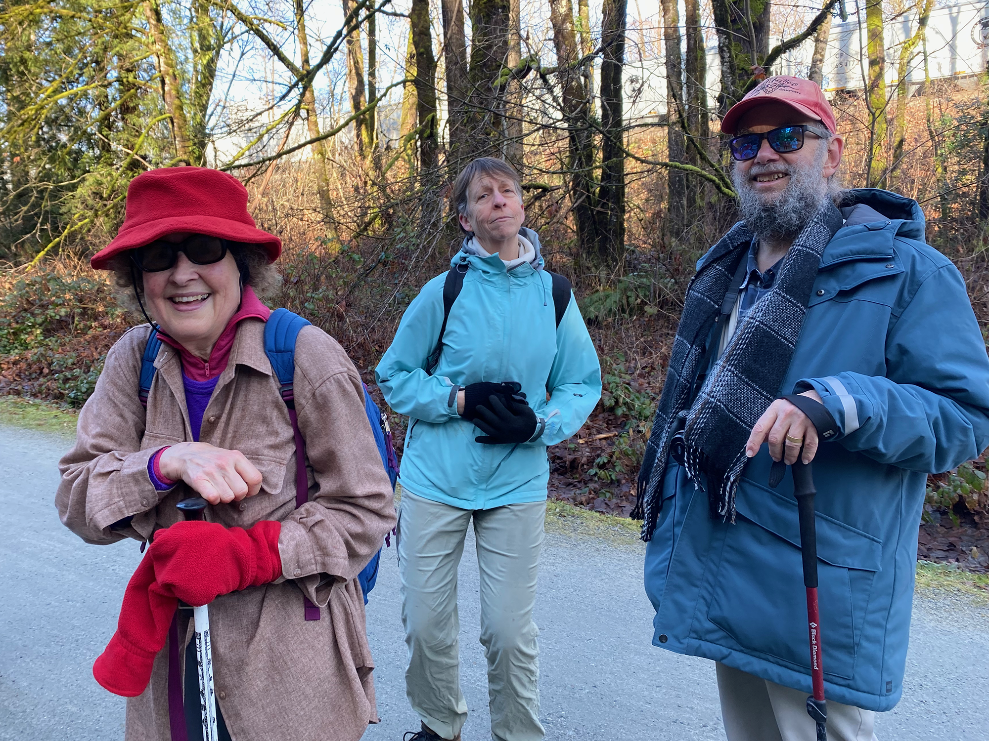
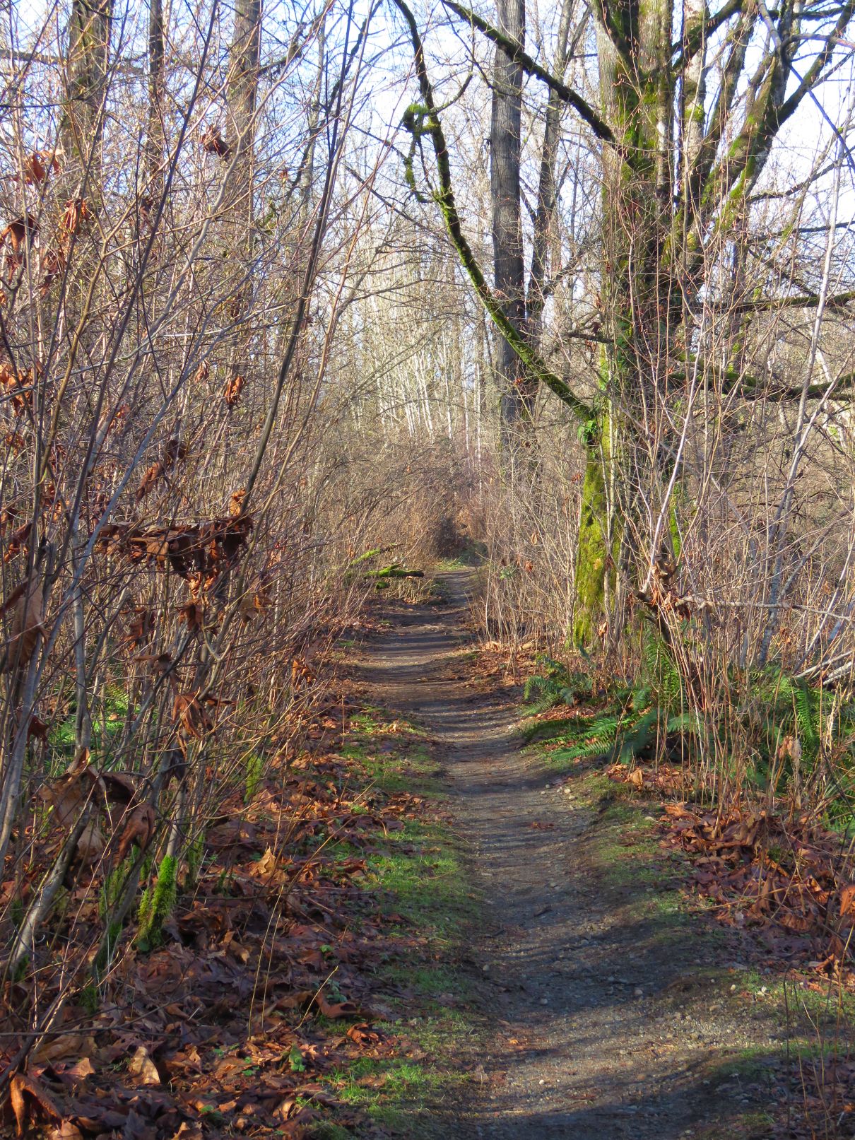
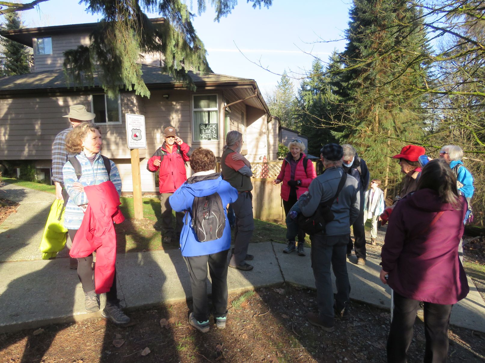
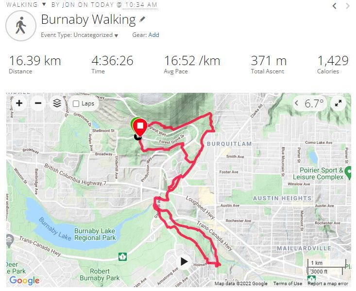
Twenty-three Loopers convened at Forest Grove Park on the south slope of Burnaby Mountain. It was a beautiful sunny morning and the sun stayed with us throughout the day. After a round of introductions to a couple of new Loopers, the group posed for the starting selfie and then headed out. First challenge of the day was dashing across busy Gaglardi Way. From there our route took us on a trail to the east through the woods to another trail which descended southward, parallel to North Road, where it met Stoney Creek.


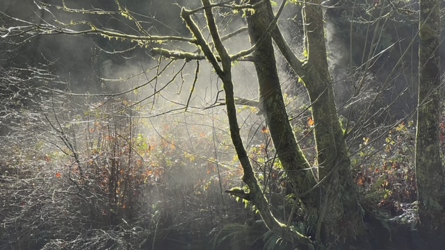
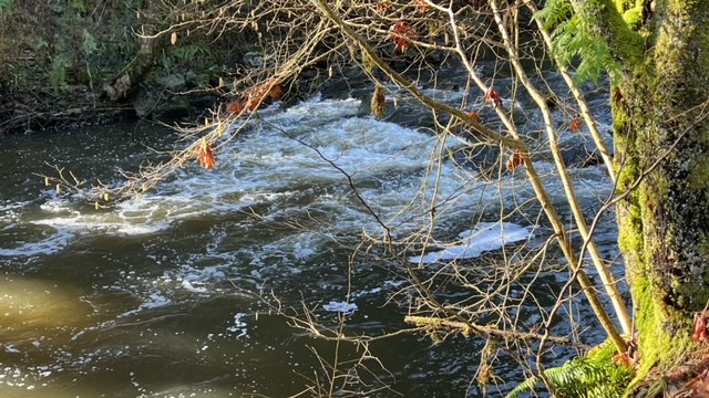
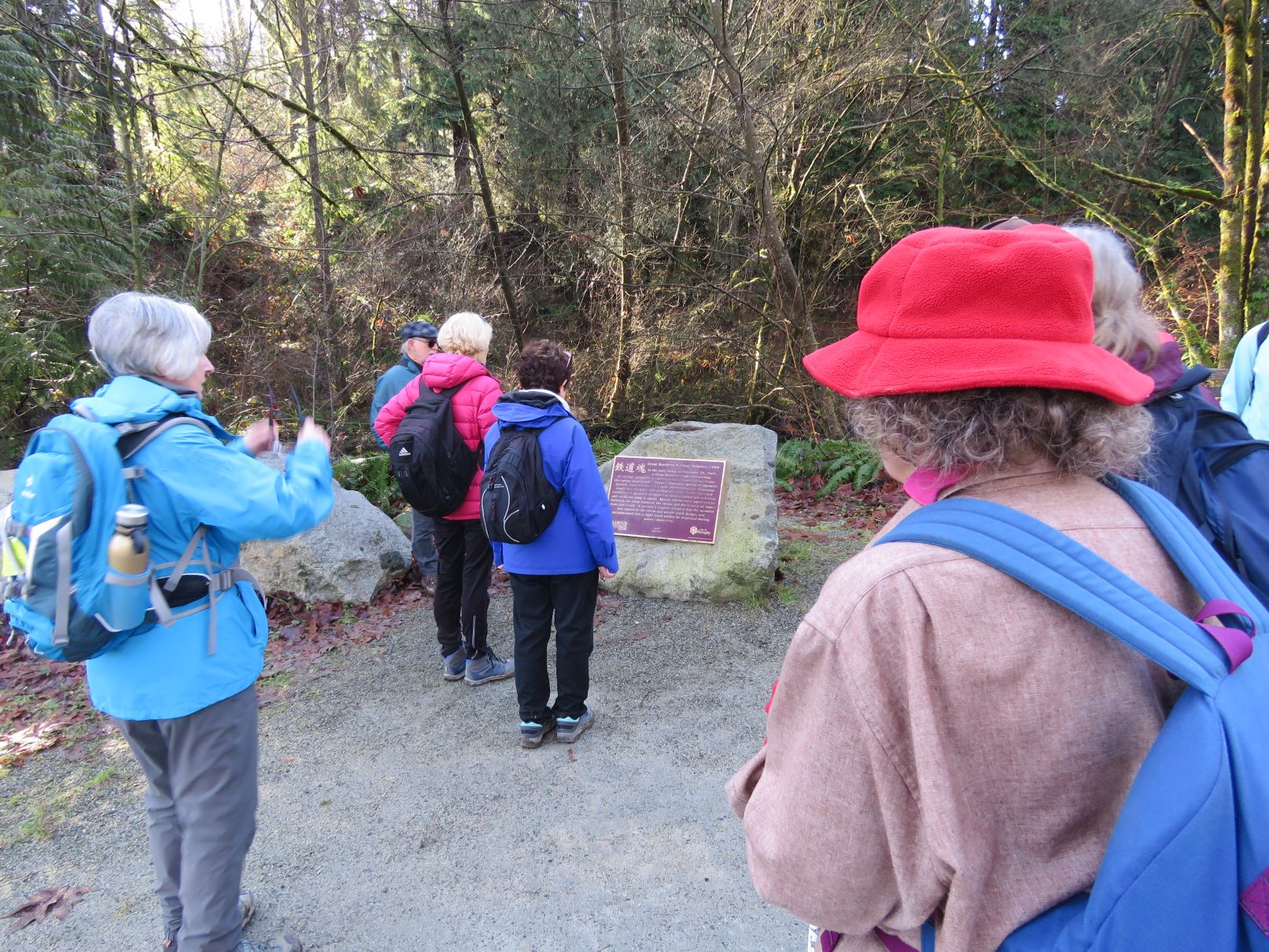
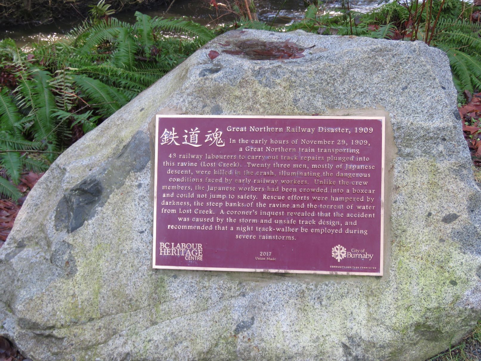
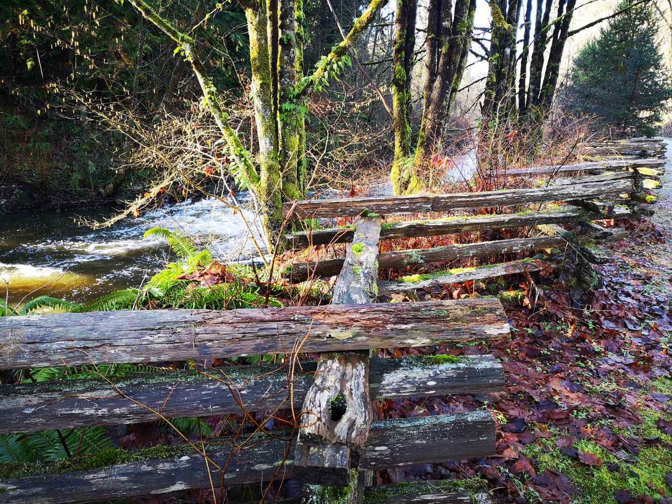
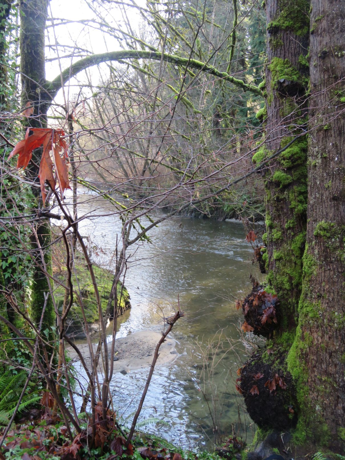
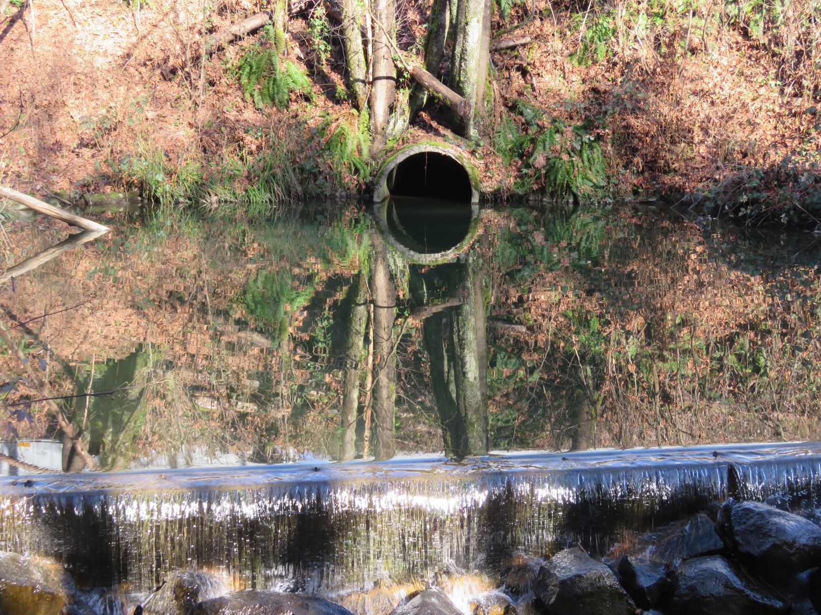
We followed the creek south, eventually passing under Lougheed Highway and arriving at Government Street. A short diversion to the west and down Cariboo Road took us to the Brunette River section of the Central Valley Greenway. This section, down a quiet ravine, was very pleasant with the sounds of the river to enjoy. After crossing under Highway 1 we came upon a plaque commemorating an early 20th century railway disaster.
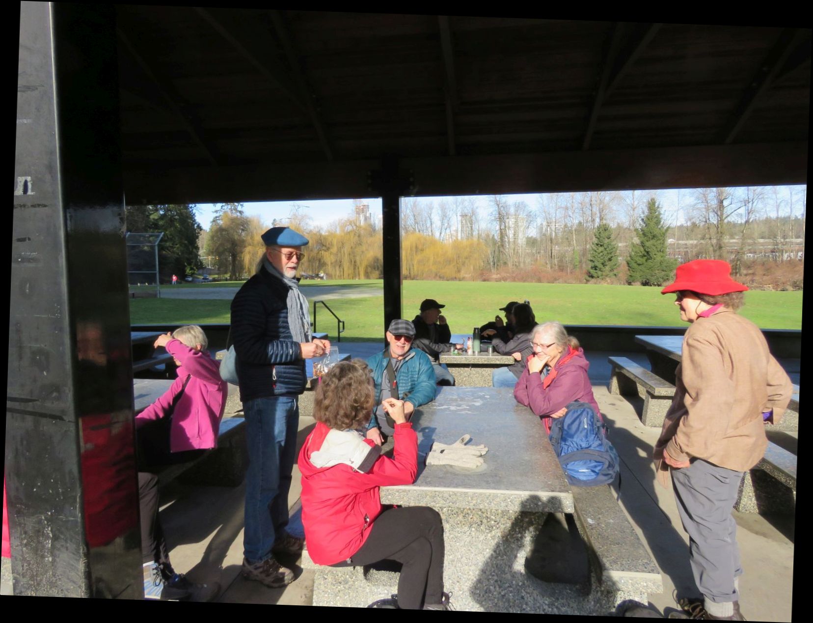
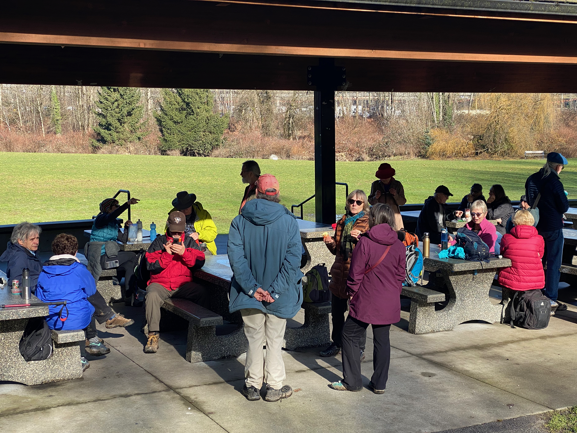
From there it was a short walk to North Road and Hume Park where we stopped for lunch, taking advantage of the picnic shelter and restroom facilities.


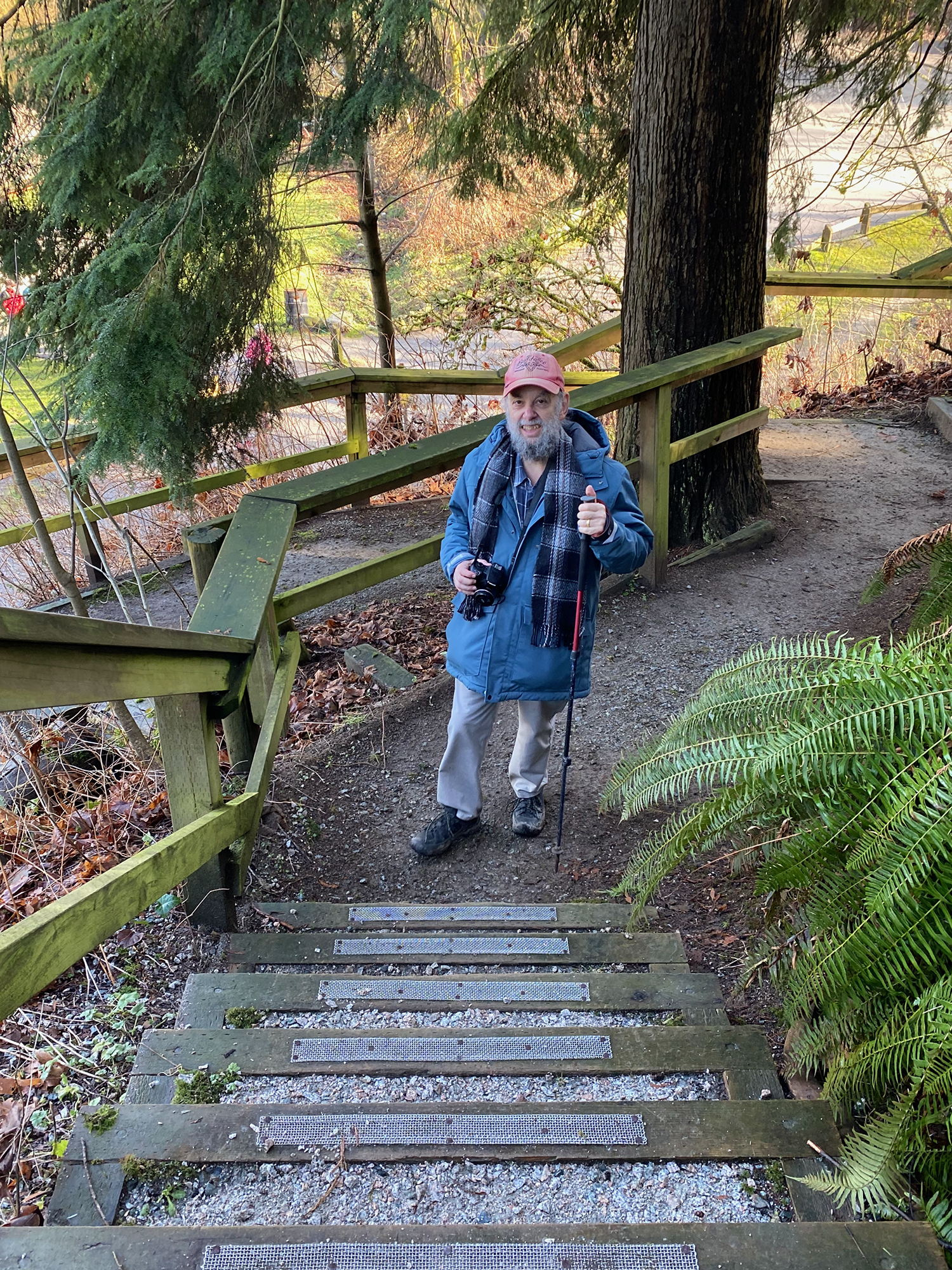
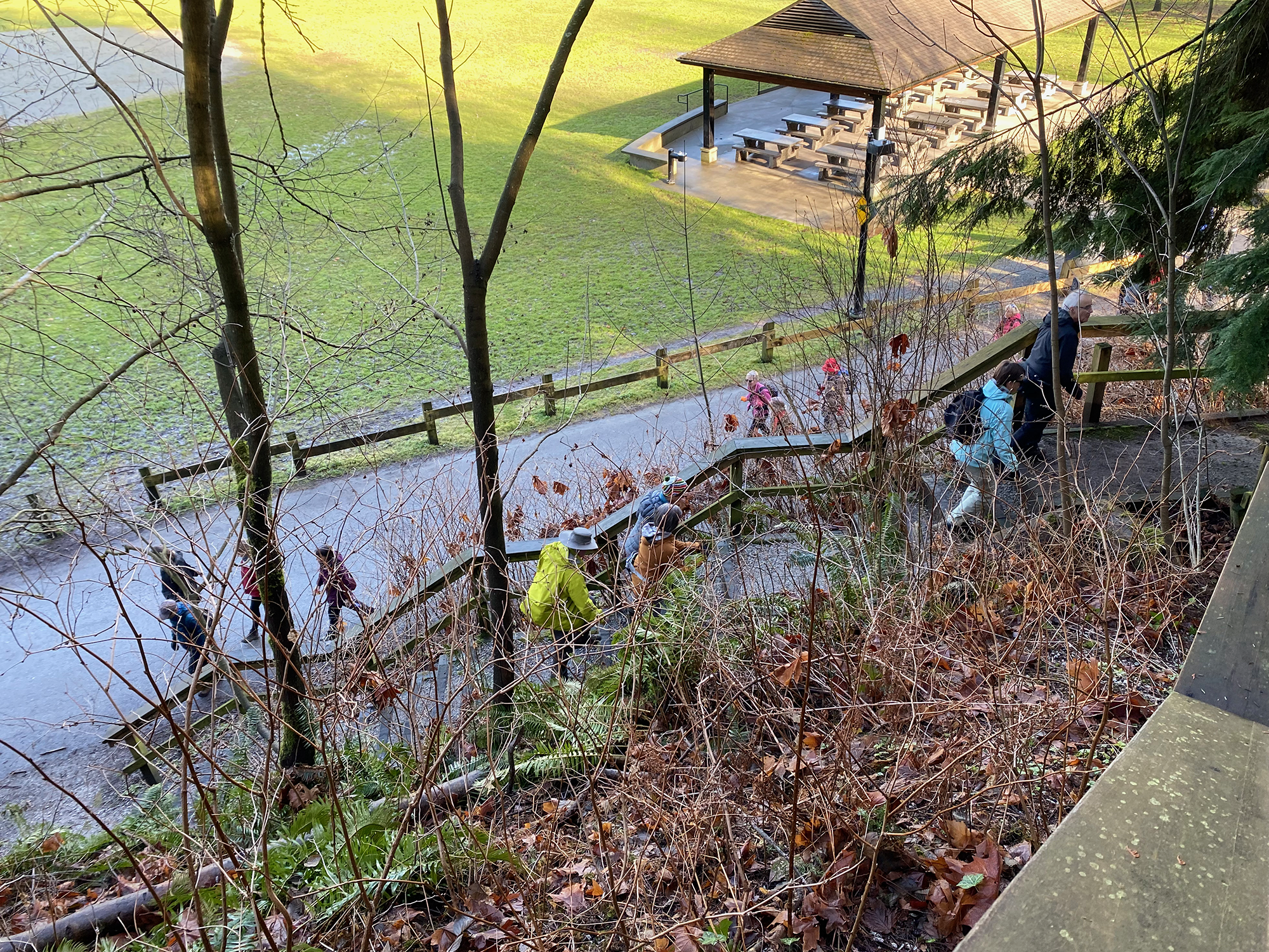
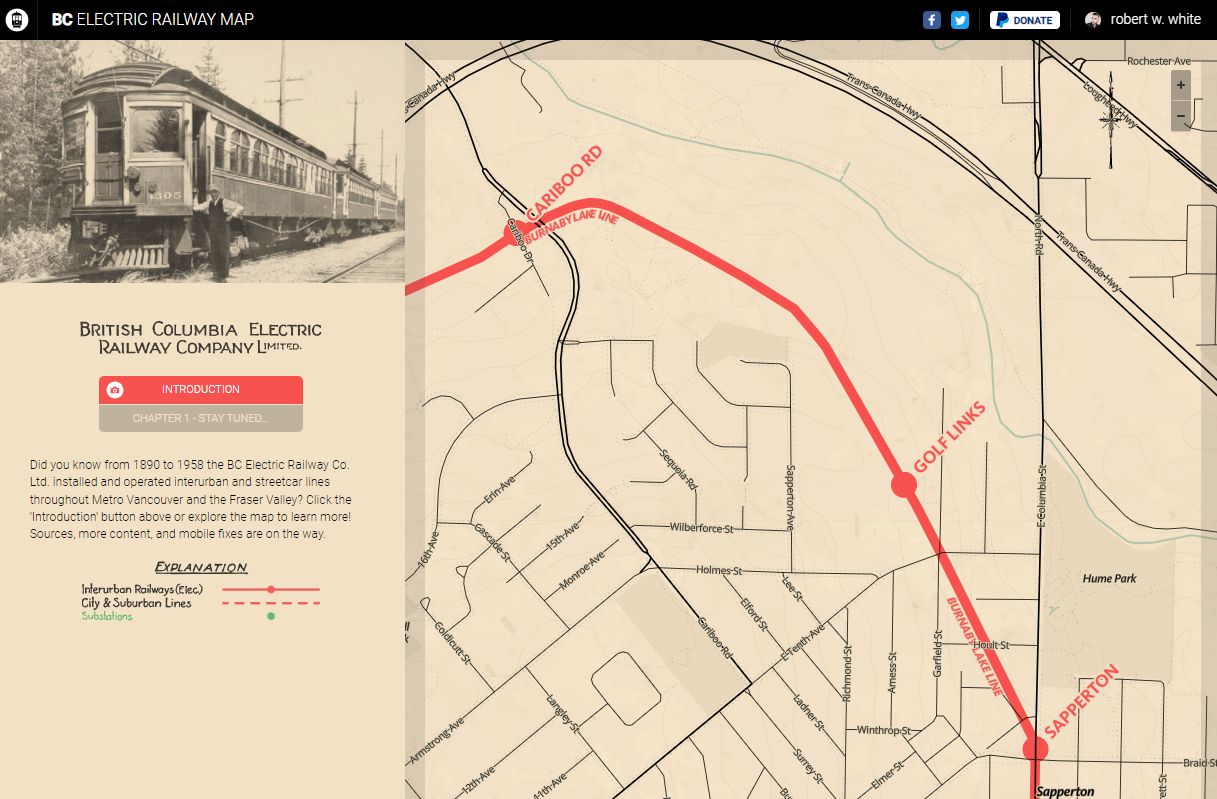
We departed Hume Park via a stairway up to Columbia Street. From there we made our way uphill to a trail that followed the route of the old Burnaby Lake interurban line that once ran from New Westminster to Commercial Drive. (For those interested in things historical, there is a YouTube video of a tram running along the line from downtown Vancouver to Sapperton. At about the 13:45 minute mark of the video the tram approaches Cariboo Road and then travels along the stretch where we walked.)


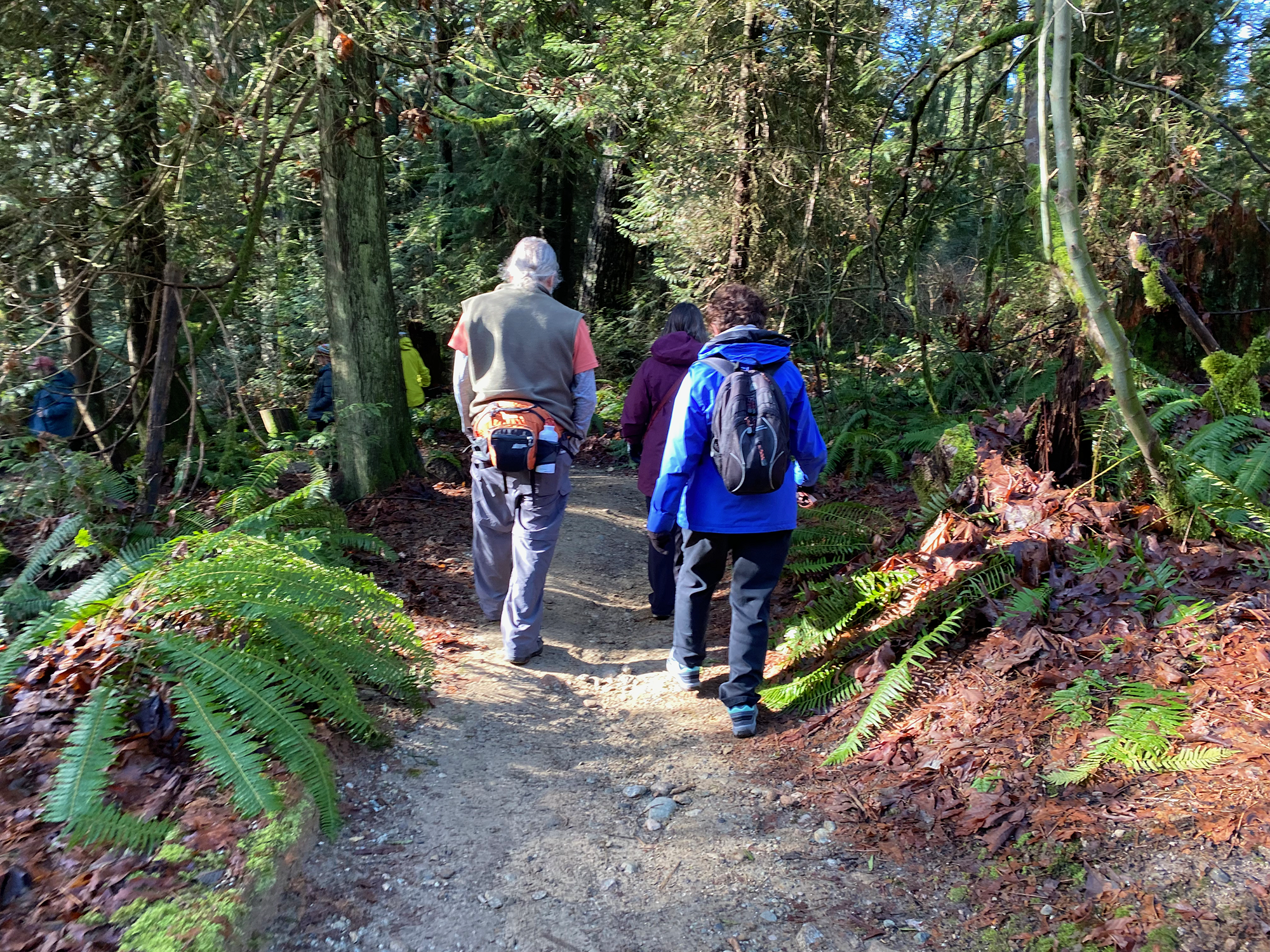
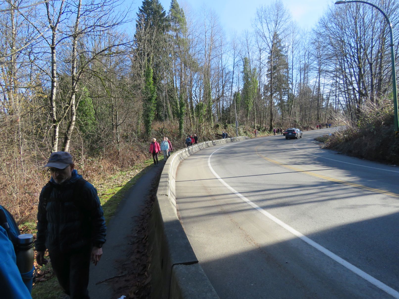
Upon reaching Cariboo Road we re-traced our outbound steps, ascending part way up Stoney Creek, before crossing the creek and taking a slightly different route to avoid a muddy section we had encountered on our way down. Our diversion took us through a housing development, where one Looper took a bit of a nasty spill. After a brief pause to make sure there was no serious damage and to allow for recovery, we pressed on. (It is curious to note that Looper mishaps seem to occur more often on sidewalks than on rough trails for some reason.) We returned to the Stoney Creek trail for a stretch before taking a different trail to the west which took us back to our starting point.


The outing was a little longer than some, a bit over 16 kilometres, and featured 3 loops; large ones at each end and a tiny one in the middle.
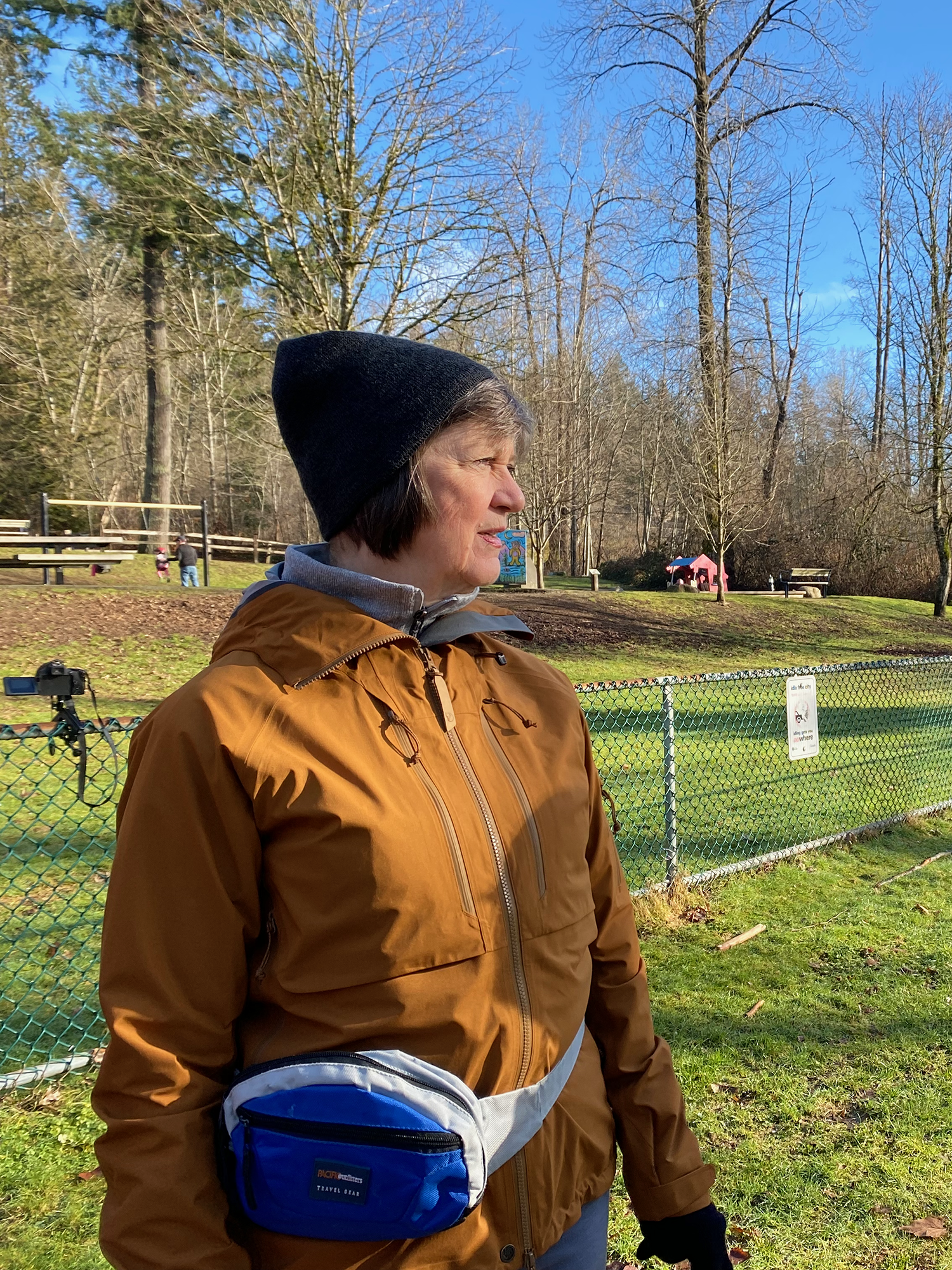
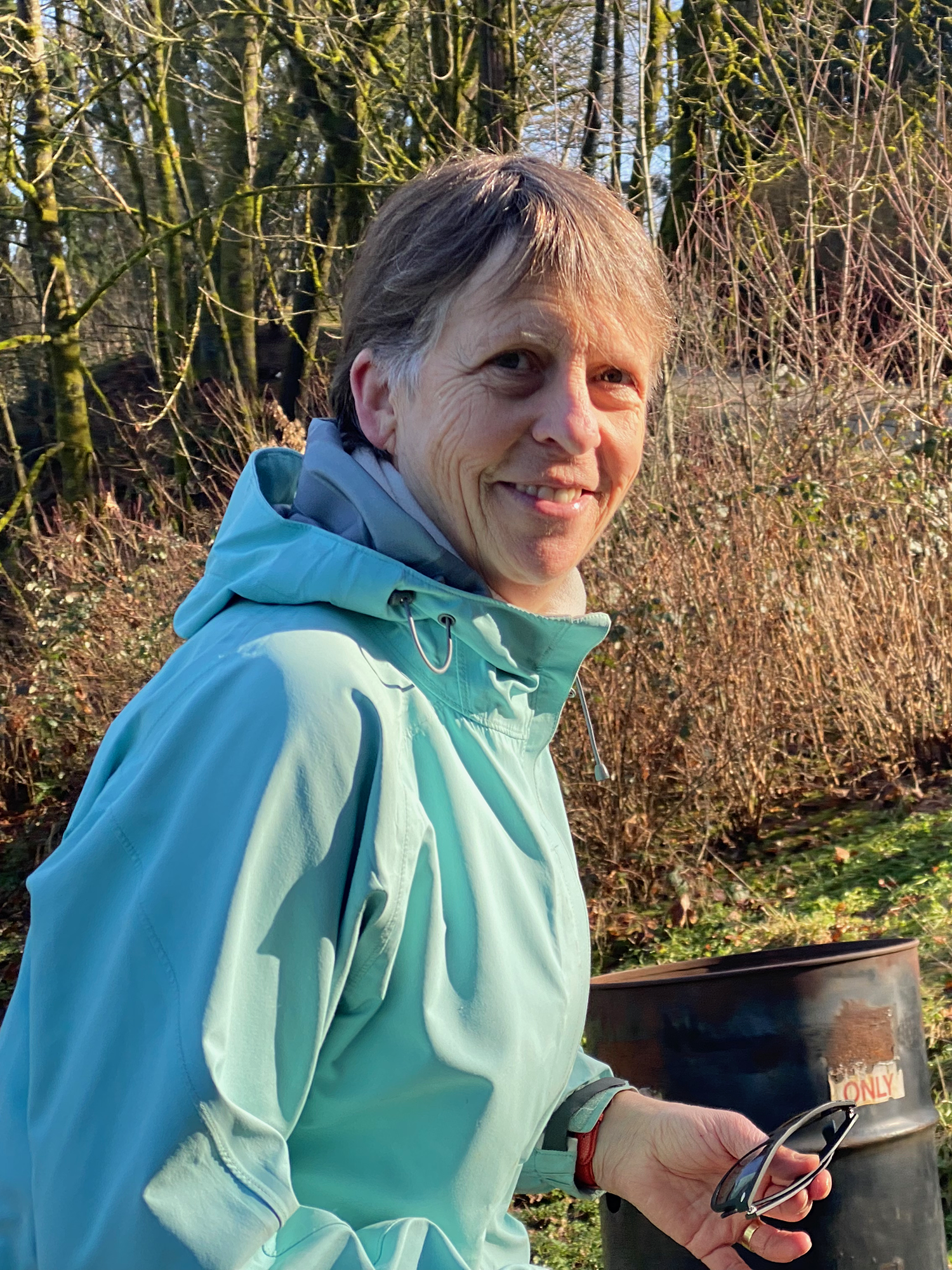
Photos by Angela, Adrienne, Larrie, Bruce, David, and Jon
Thanks to Carol for the Interurban map link.

Thanks for a great blog Jon! You created a memorable journal entry for our walk and the photo contributions from fellow Loopers add so much too. Annie
LikeLike