
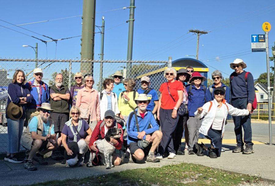
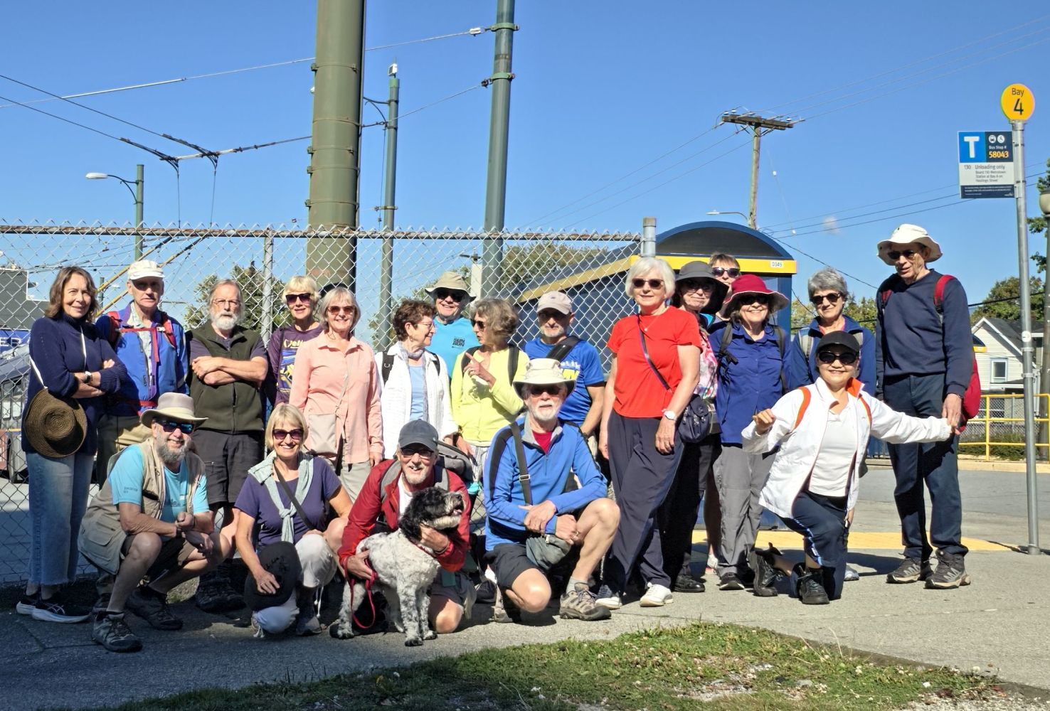
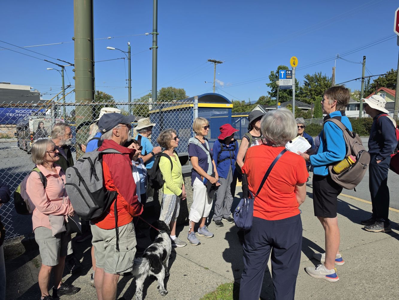
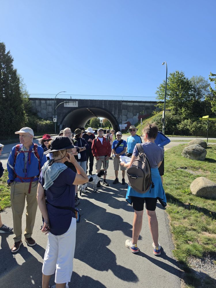
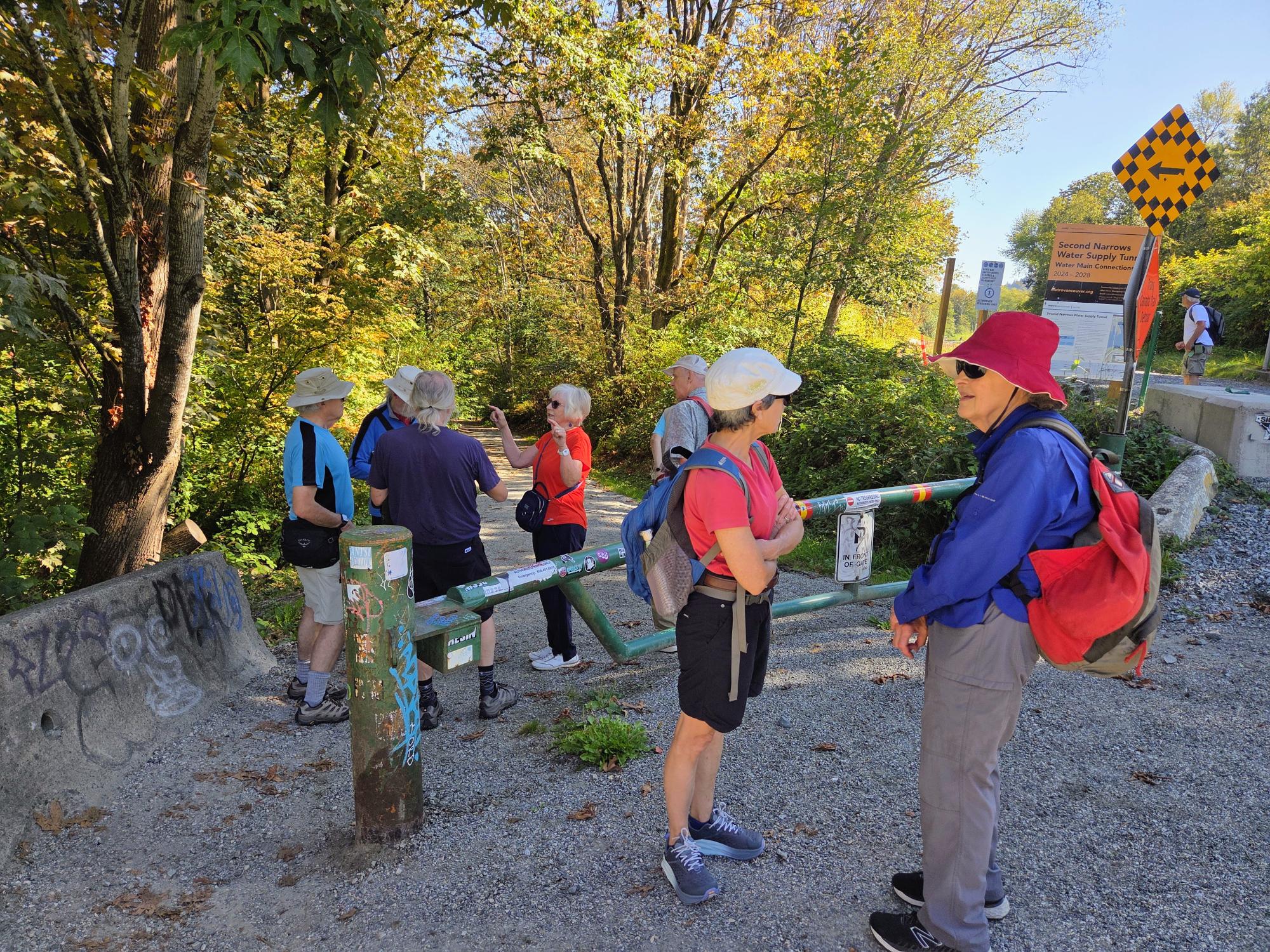
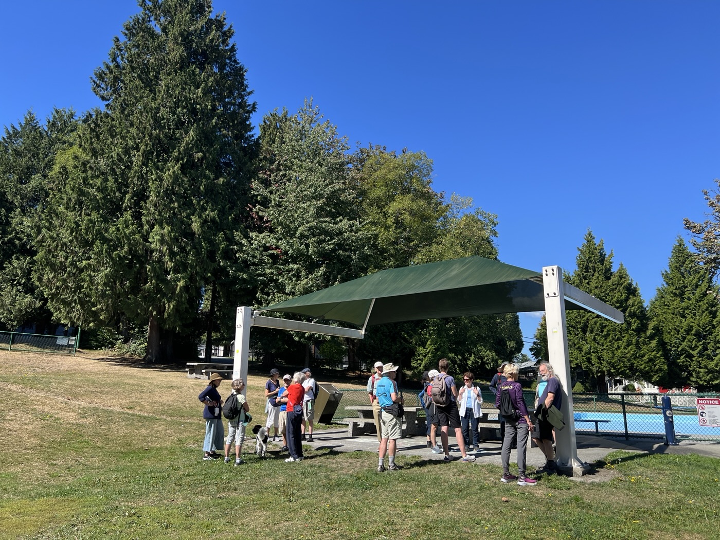
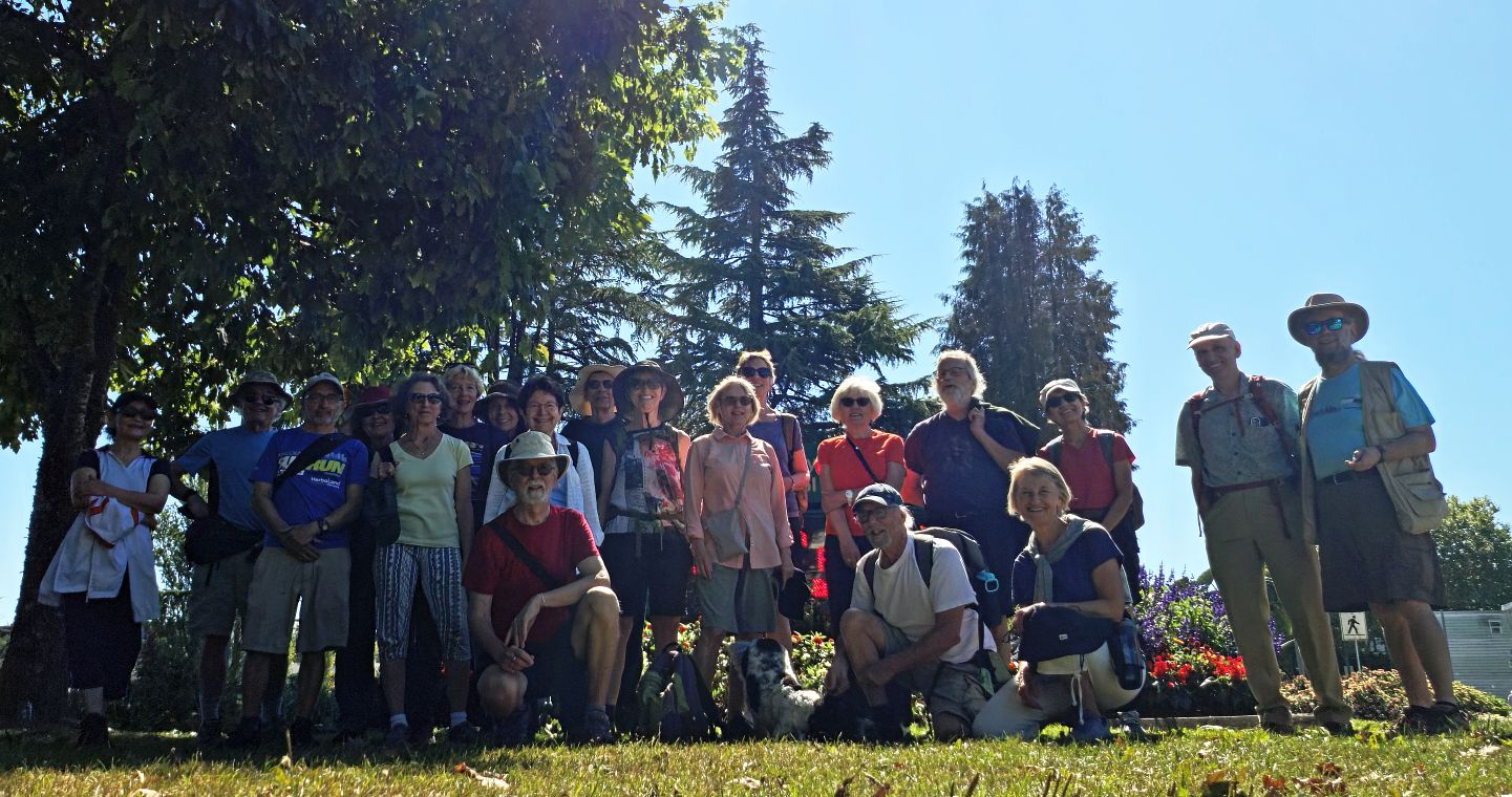
Twenty Loopers gathered next to the Kootenay Bus Loop in North Burnaby for this month’s walk. Once we were assembled our leader, Carol, gave a brief introduction to the day’s route and some history behind it:
This walk was based on one in a series of Lower Mainland walks described by Bob Sarti (1943-2020) – this one in the Vancouver Sun June 11, 1993. Sarti was a left-leaning columnist who also wrote for the Georgia Strait. He wrote about conditions in the BC Pen, and took part in the Poverty Olympics. One of his pseudonyms was Ann Archist.
He was keen to promote walking and better transportation in these columns. His editor was a bit reluctant to run the columns saying “I know there’s something subversive in there, we just can’t find it”
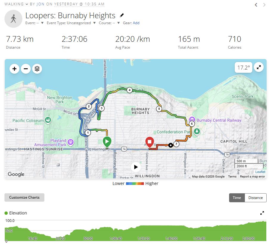
We headed north on Kootenay Street and then west on Dundas Street to Cassiar. Burnaby Heights is a residential area consisting mostly of single-family homes and duplexes in a variety of styles. There are a number of heritage homes in the area.
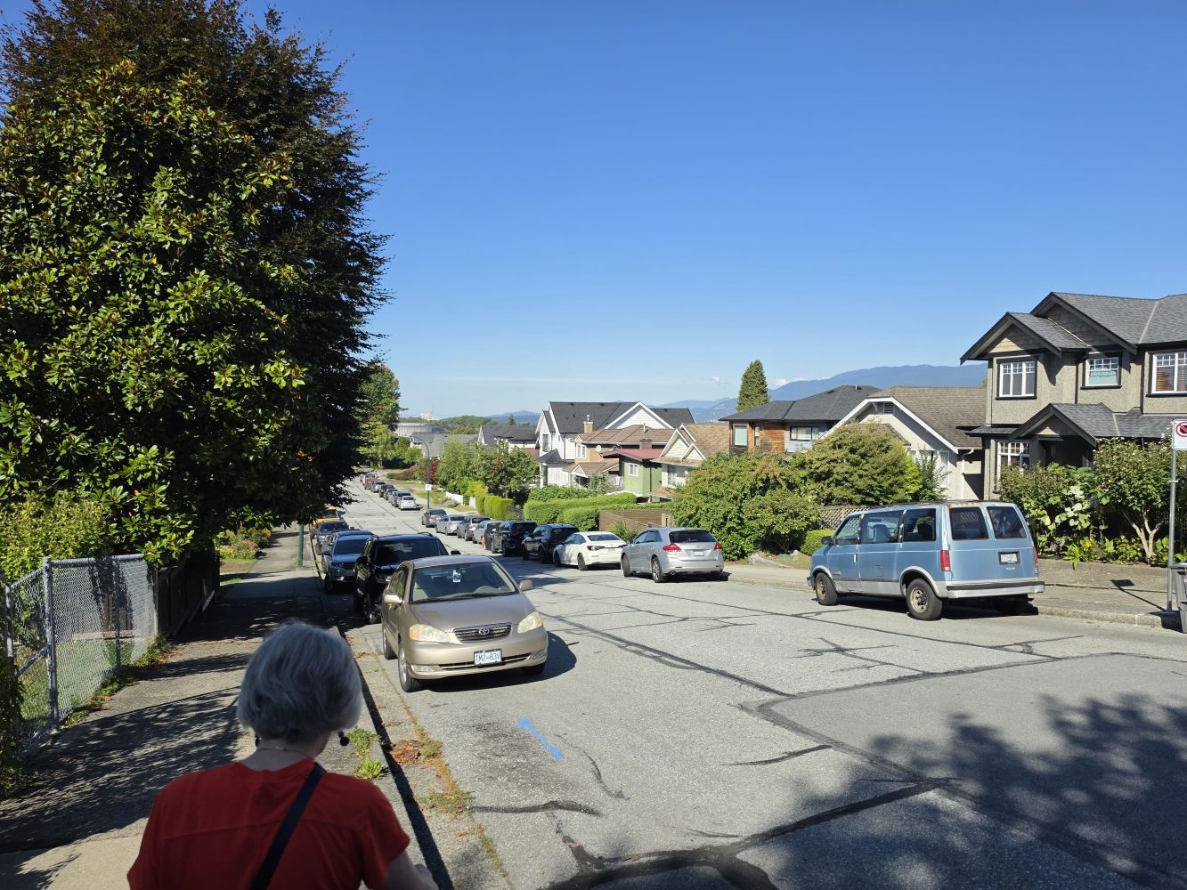
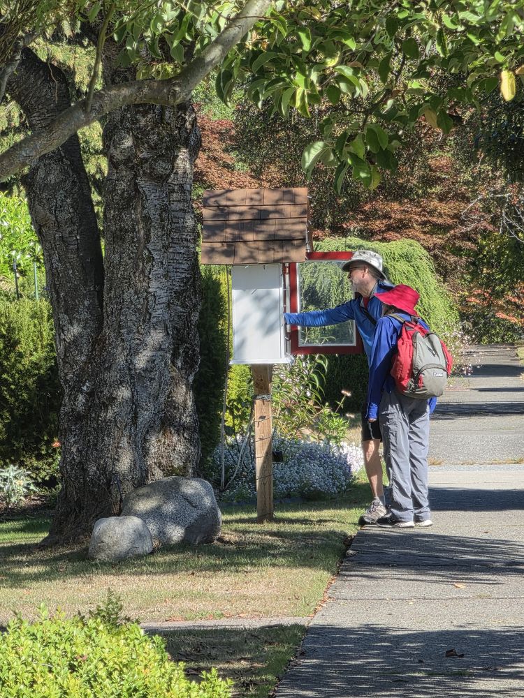
We crossed Cassiar Street and over the north end of the Cassiar Tunnel. To the southwest was Empire field, site of the old Empire Stadium, and beyond that the PNE Playland which was operating in full swing. Descending, we stopped near New Brighton Park. This area was originally called Hastings Townsite and was founded in 1865. A commemorative plaque in the park states:
Here Vancouver Began. All was forest towering to the skies. British Royal Engineers surveyed it into lots, 1863, and named the area “Hastings Townsite” to honour Admiral Hastings, British Navy. Everything Began at Hastings. The first post office, customs, road, bridge, hotel, stable, telegraph, dock, ferry, playing field, museum, C.P.R. offices. It was the most fashionable watering place in British Columbia. New Brighton Park. Retains the name of a hotel built here in 1880 known as the new “Brighton House”.
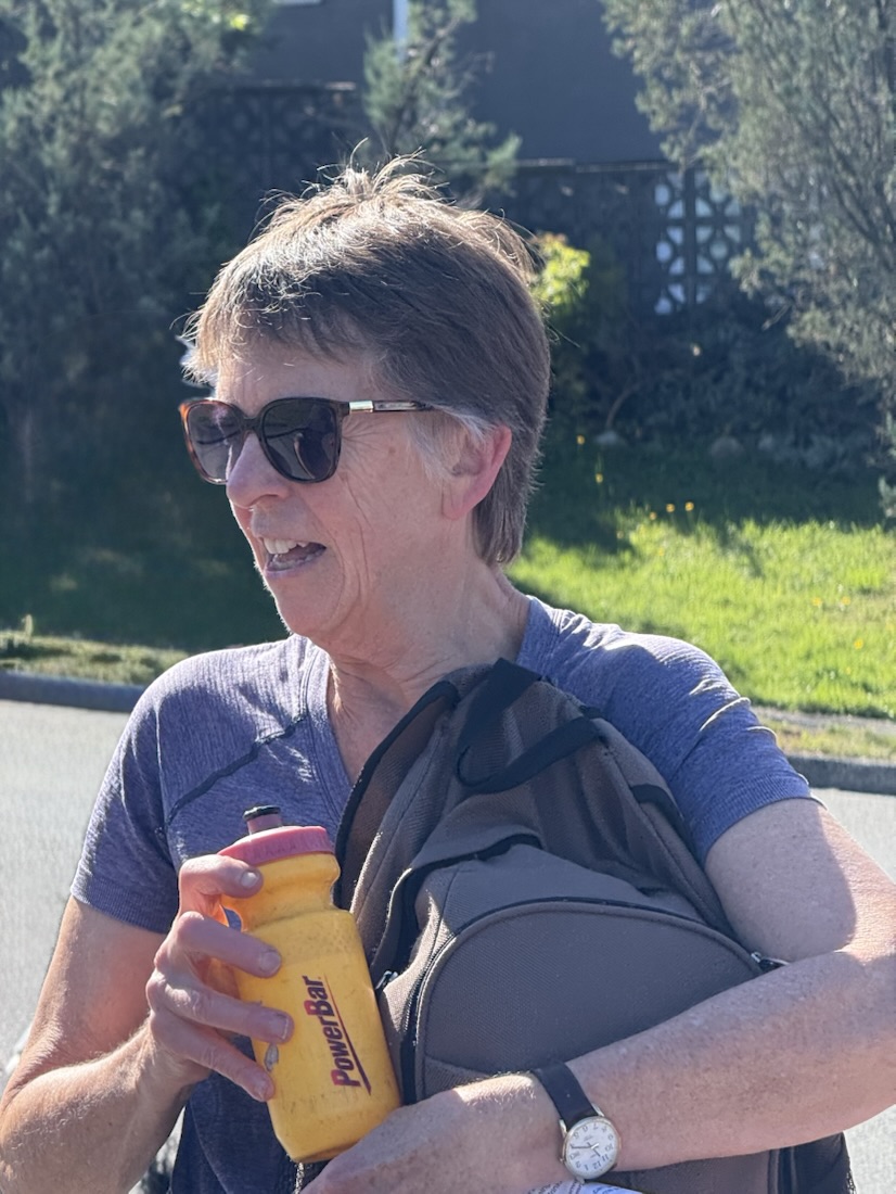
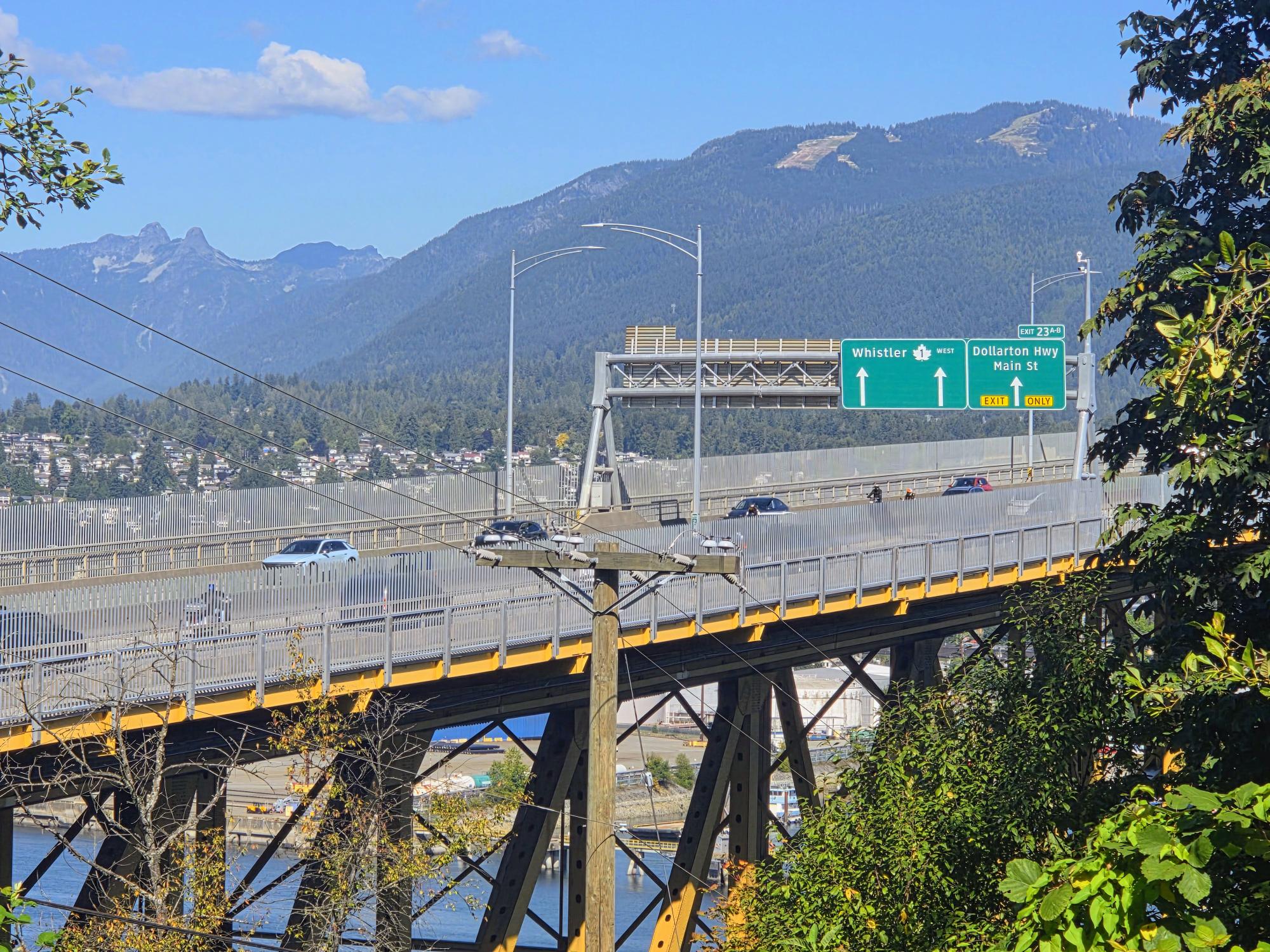
To the north, Highway #1 crosses the Second Narrows Bridge. The bridge was renamed the “Ironworkers Memorial Second Narrows Crossing” on June 17, 1994, to honour the eighteen workers who died in an accident during construction, along with one rescue diver and four other workers who also died during the construction process.
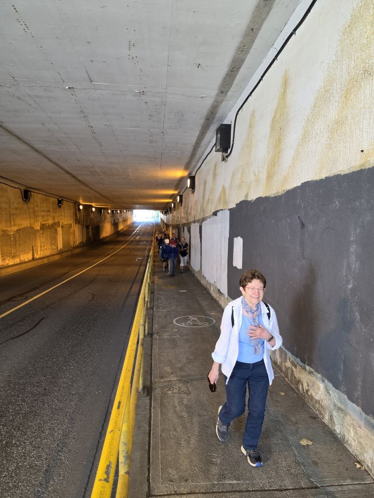
A trail passes under the bridge, but it is currently closed, so we made our way through the Skeena Street tunnel under the highway and back up to Burnaby Heights.
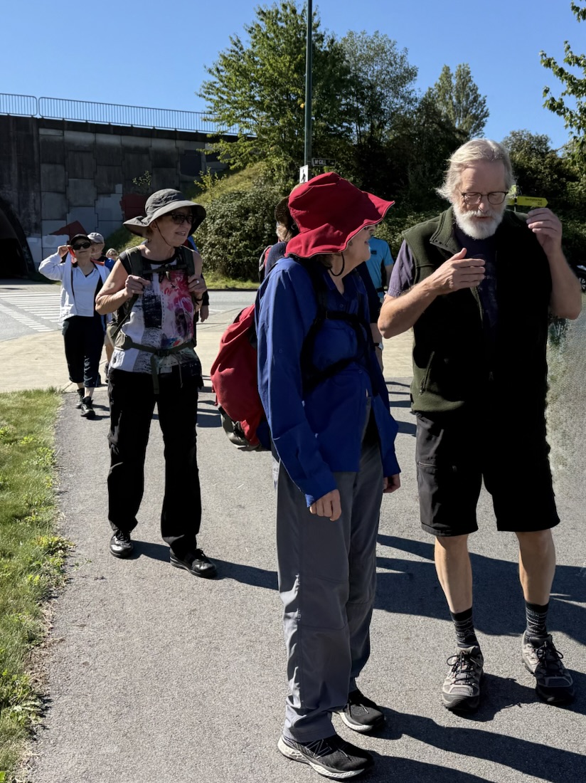
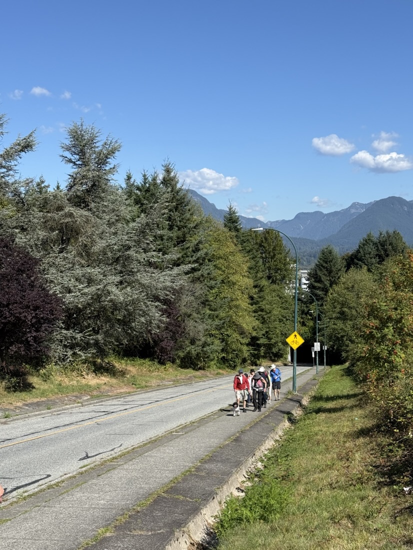
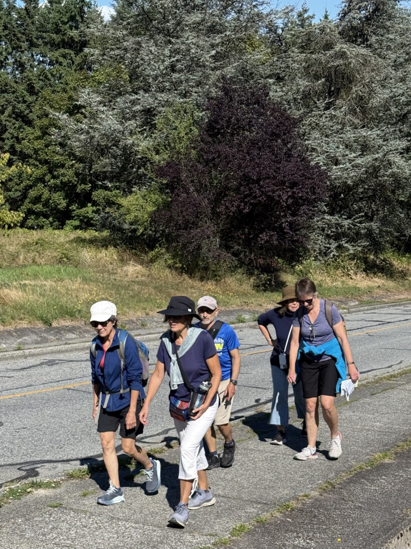
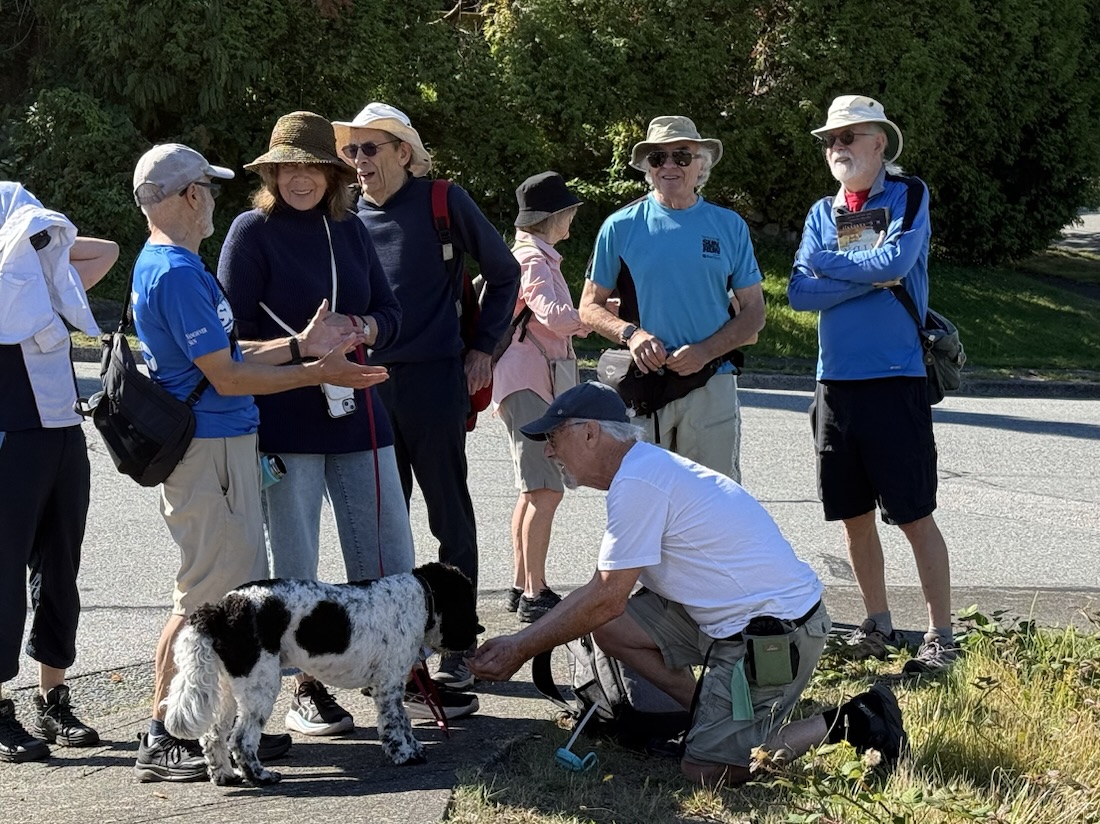
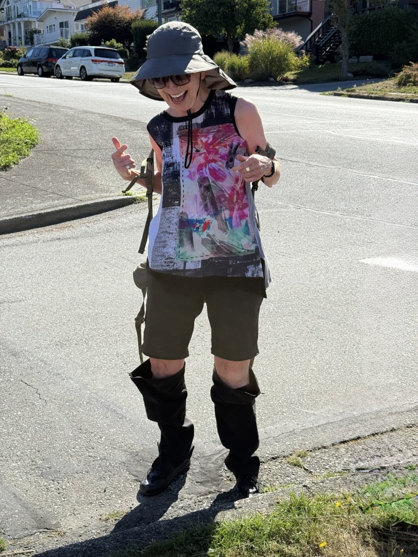
As we travelled north to Burrard Inlet there were views of downtown Vancouver to the West and to the north shore mountains.
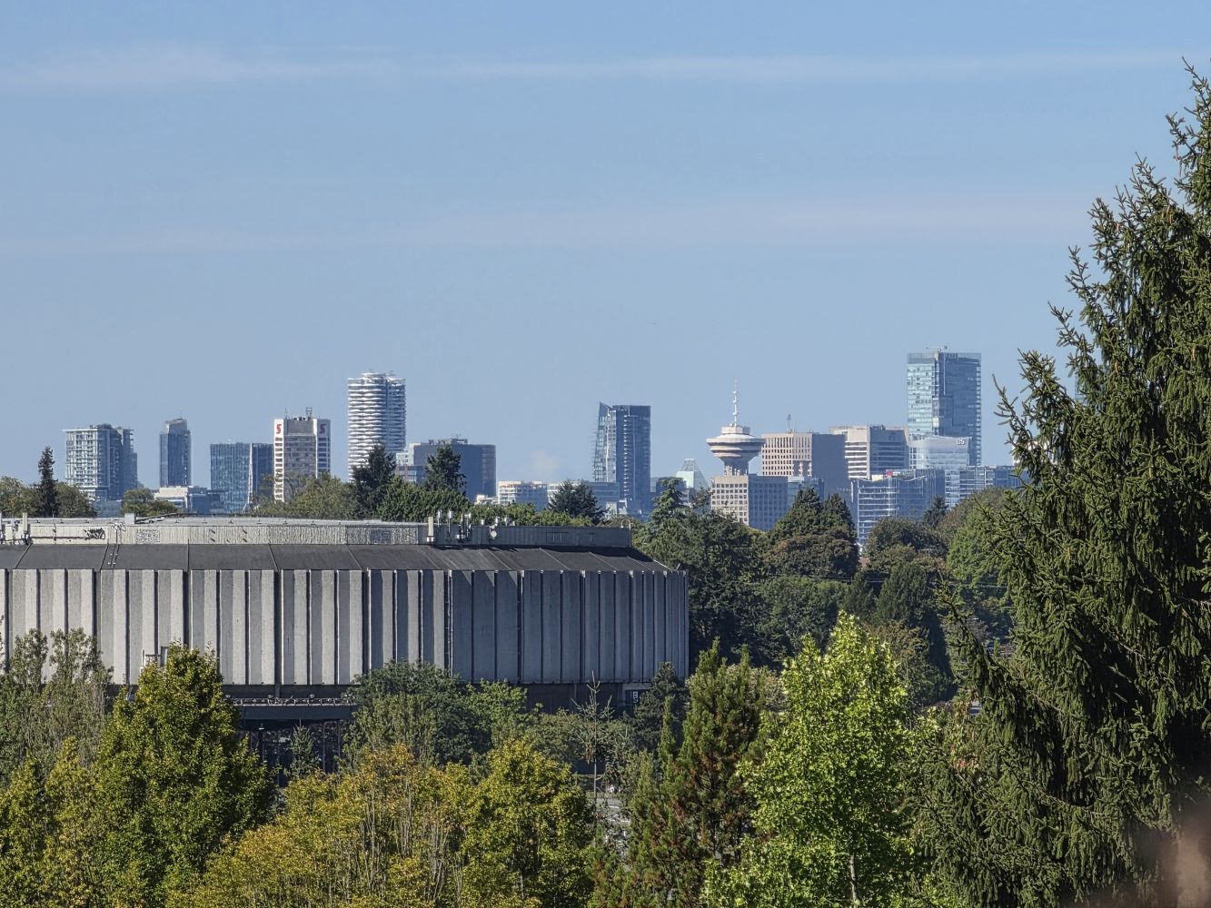
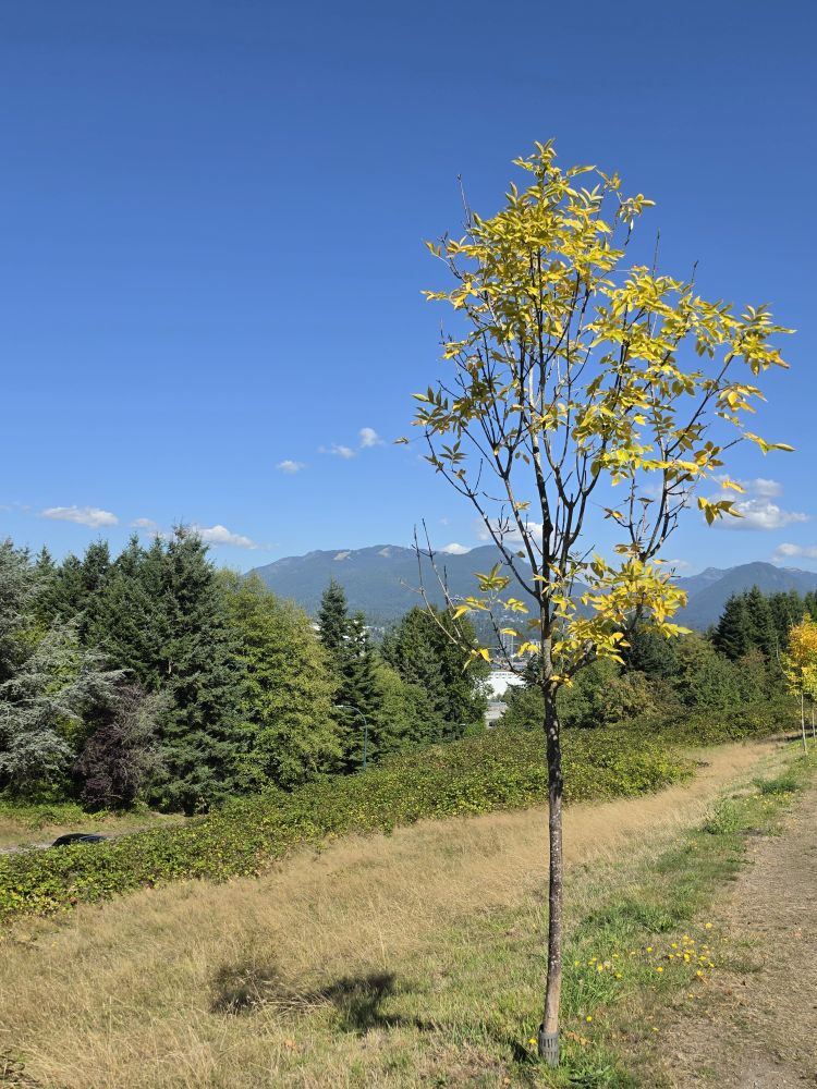
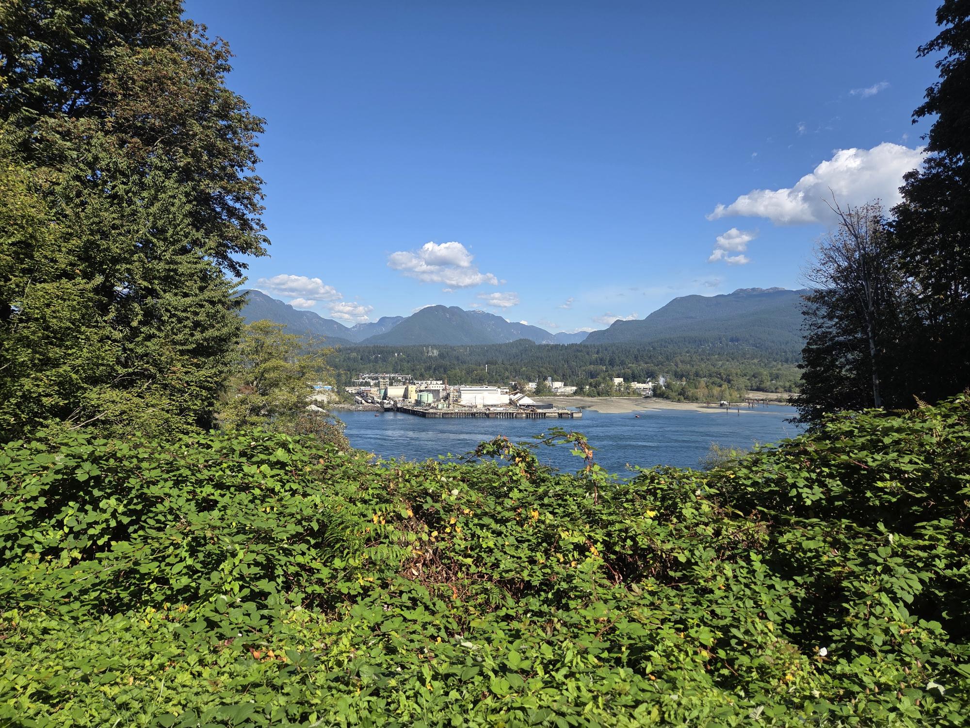
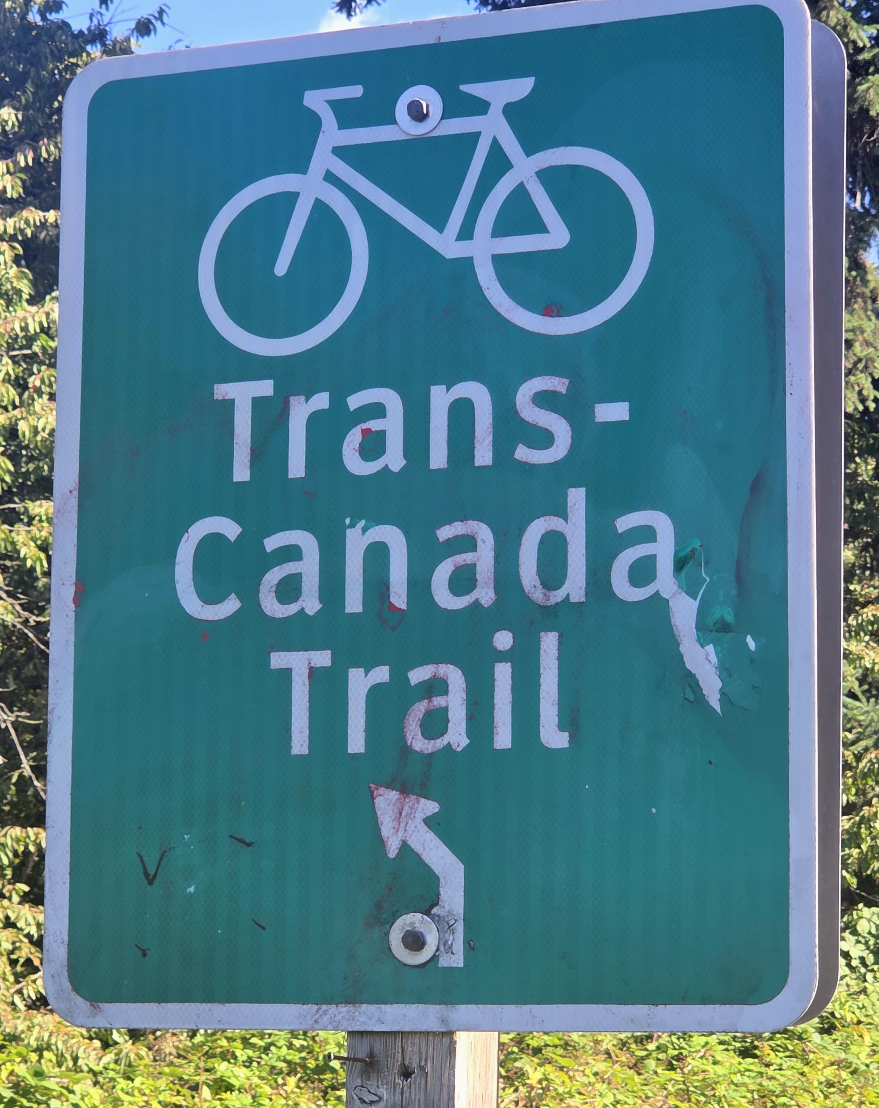
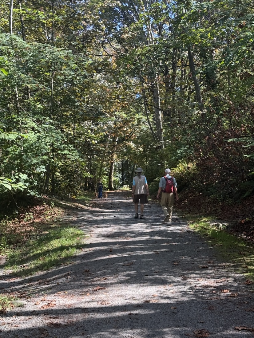
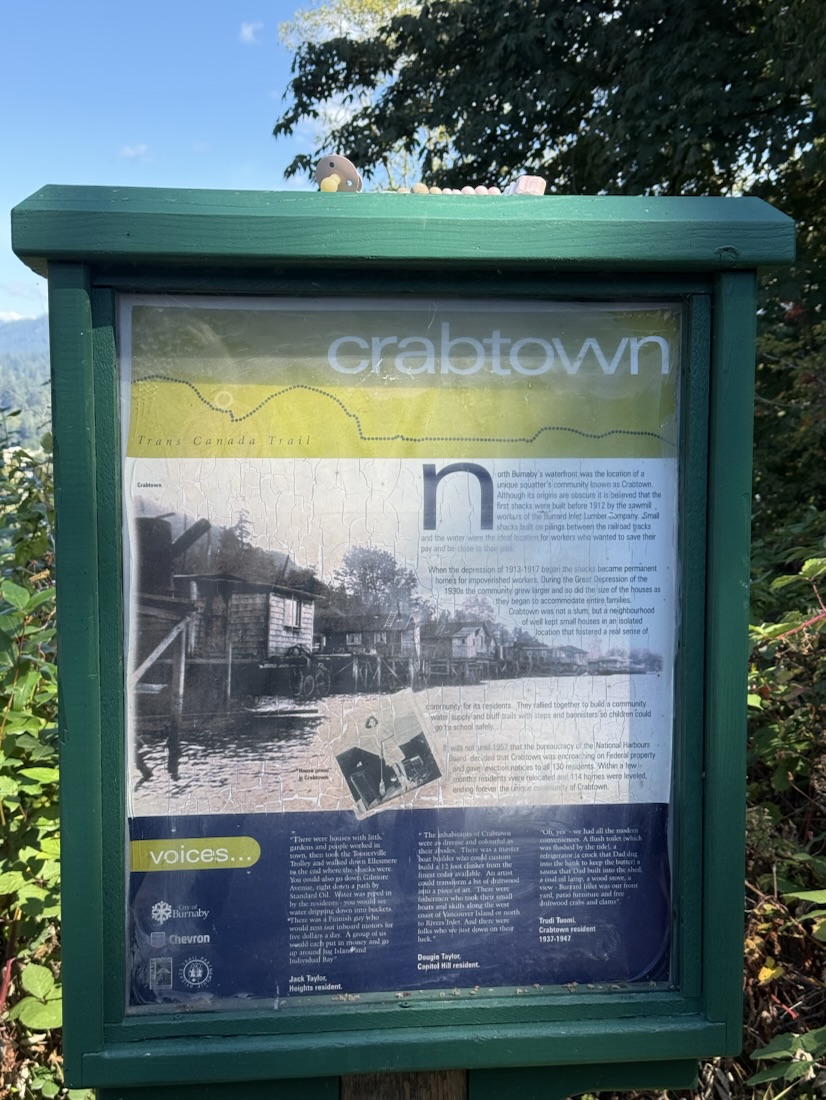
We descended through woods to the Trans Canada Trail along the inlet and followed it to the east.
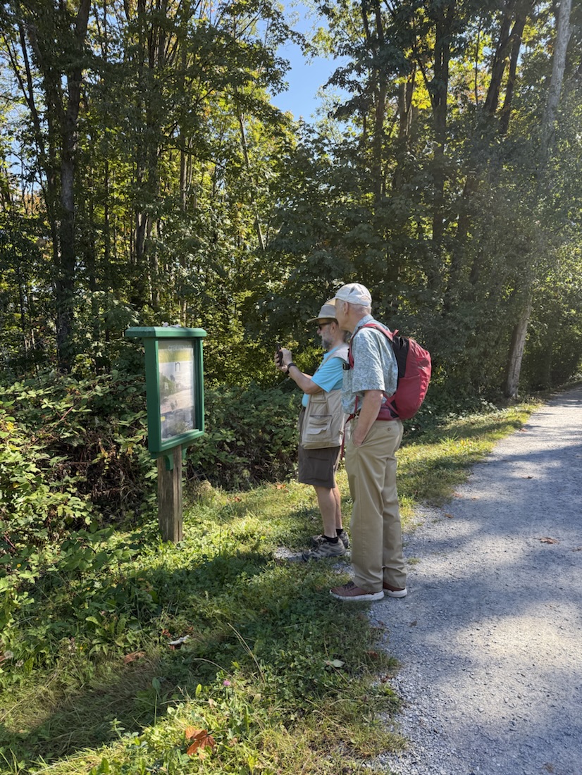
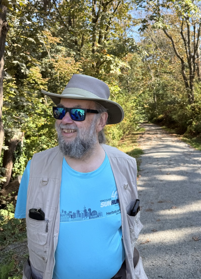
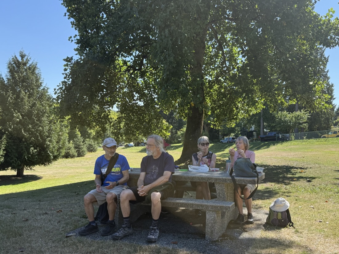
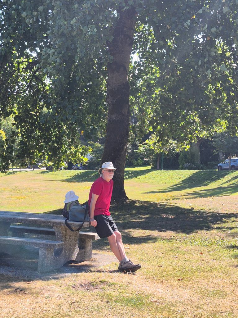
Upon reaching McGill park we paused for a snack break.
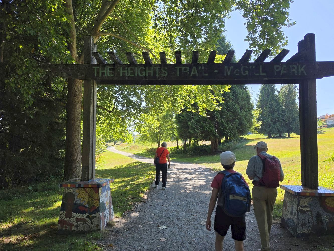
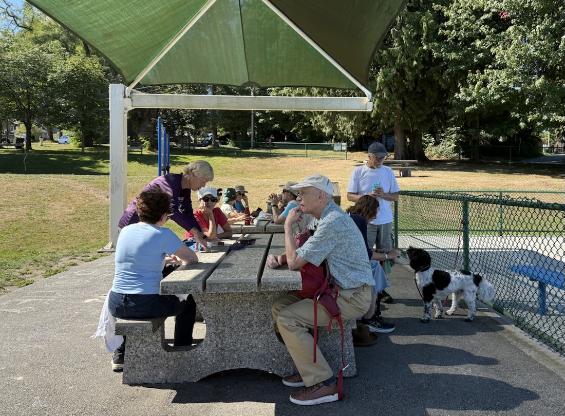
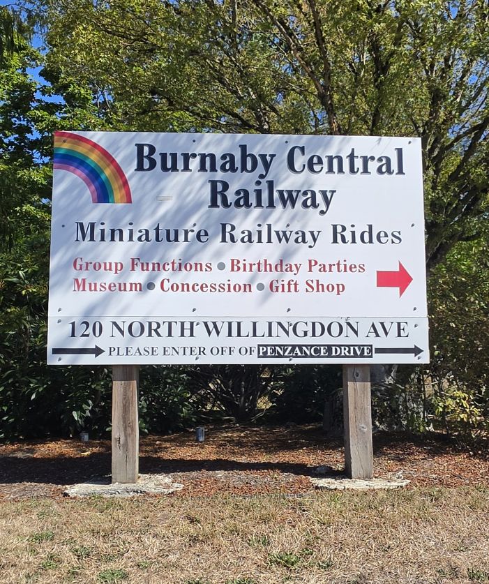
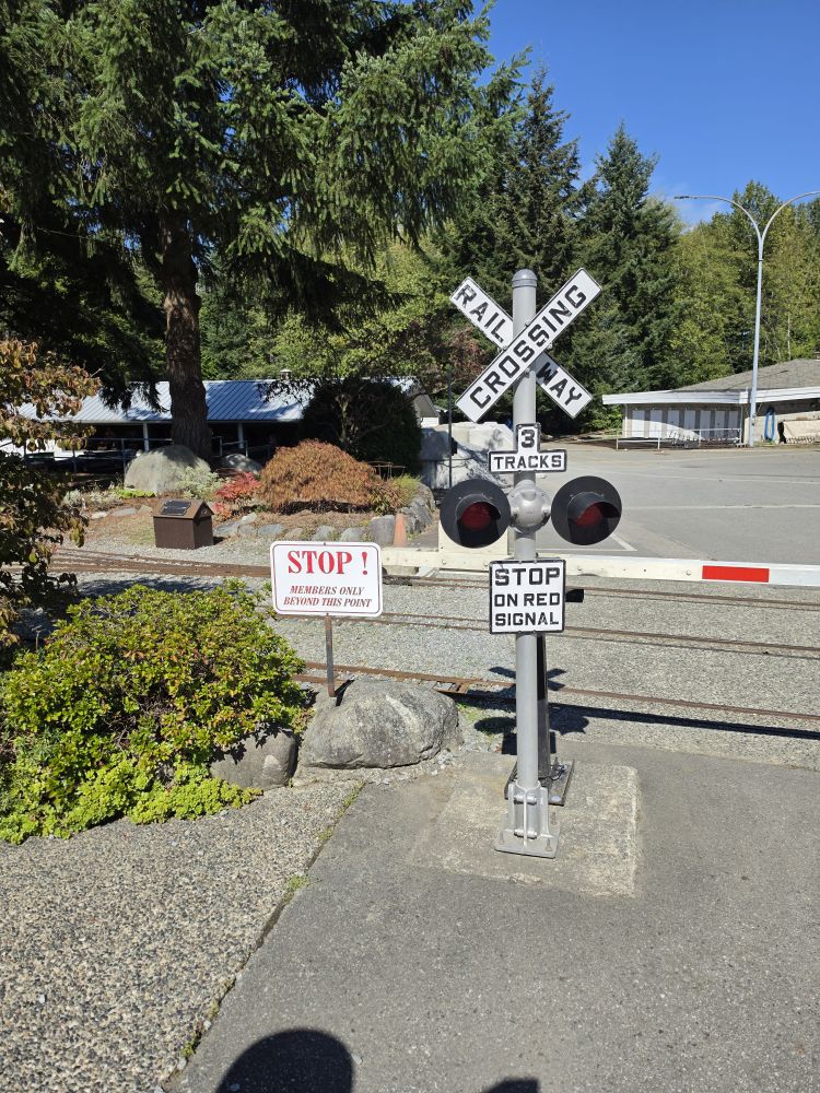
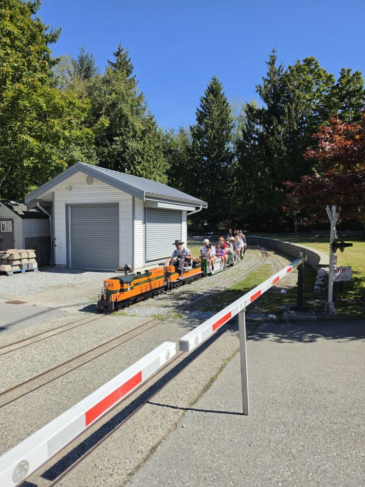
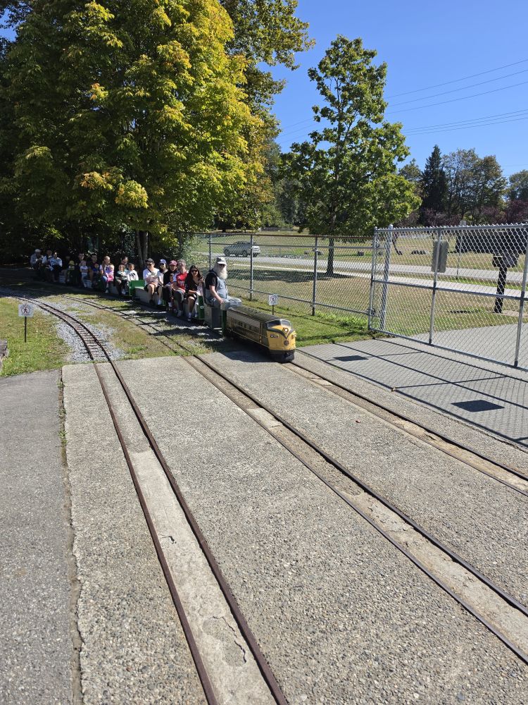
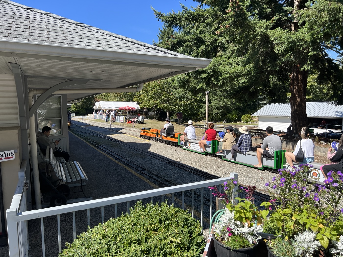
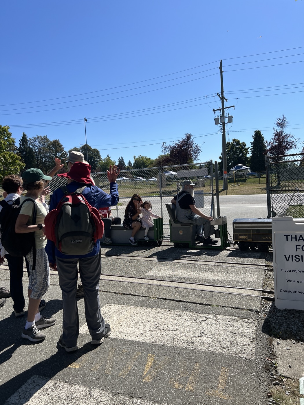
We then carried on to Confederation Park and the Burnaby Central Railway where we stopped to watch as several trains passed by. The railway, run entirely by volunteers, is apparently in desperate need of new folks to help keep it operating. Judging by the crowds we saw, it is a very popular attraction.
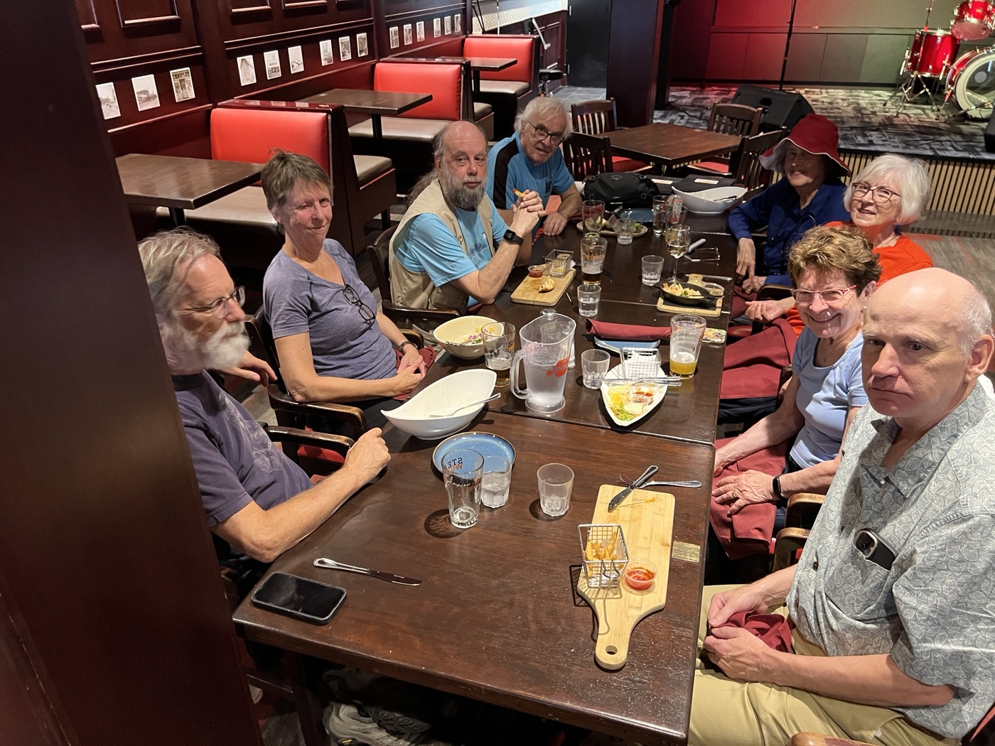
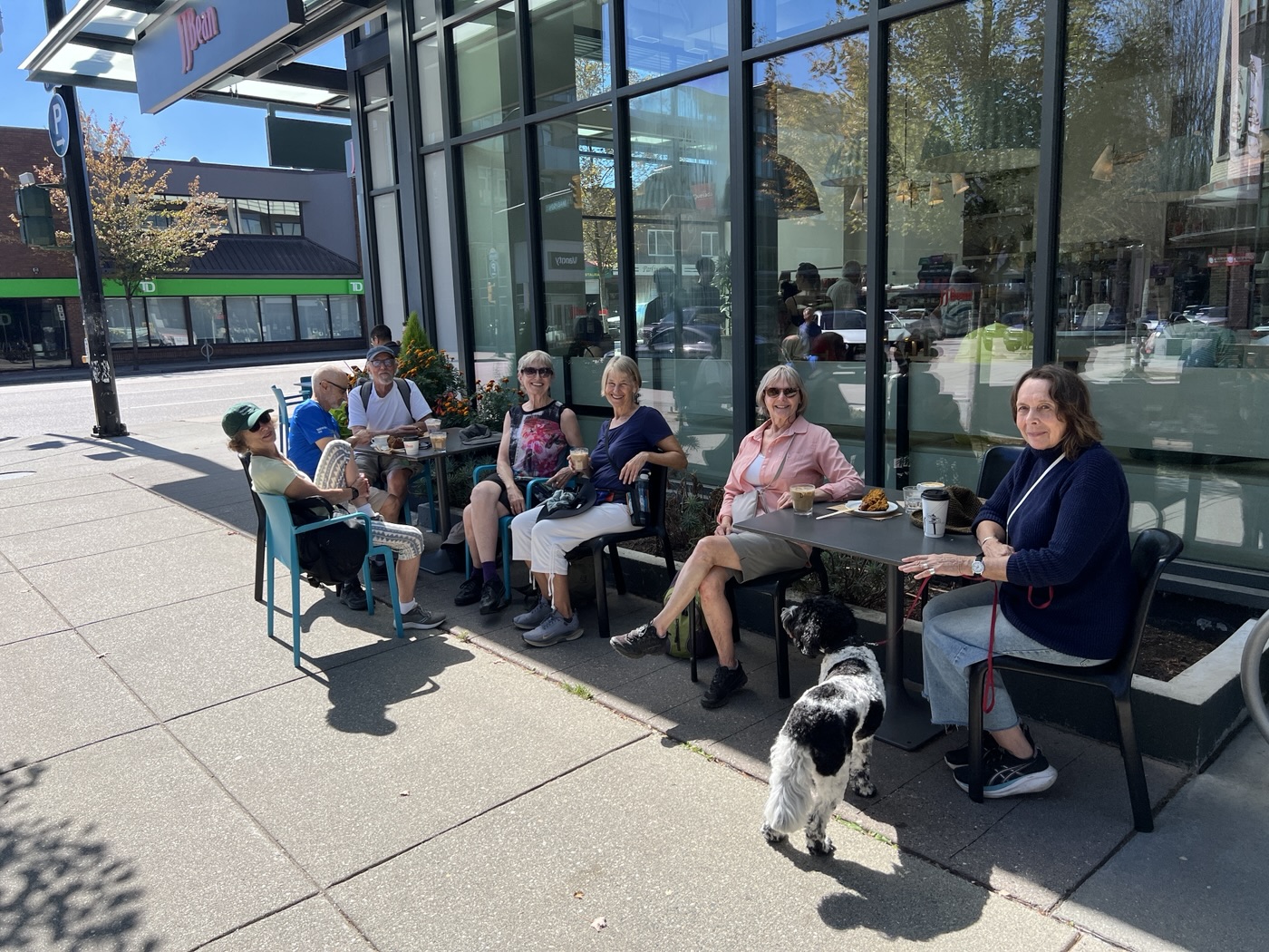
We officially ended the walk by the Eileen Dailly Pool with an ending selfie and then went off for afters; one group to J.J. Bean for coffee and the other to the Admiral Pub for stronger libations.
Words by Jon and Carol, photos by Adrienne, Angela, Michael, Jon, and Carol

