To comply with current provincial regulations, we are walking in our bubbles again this month.
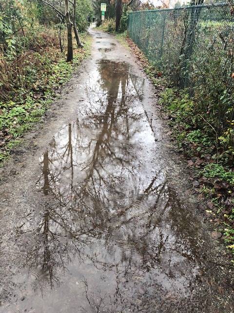
The general experience was that the weather was better than expected on Sunday, but the prior days of rain meant that pretty well everyone mentioned a lot of MUD.
Adrienne
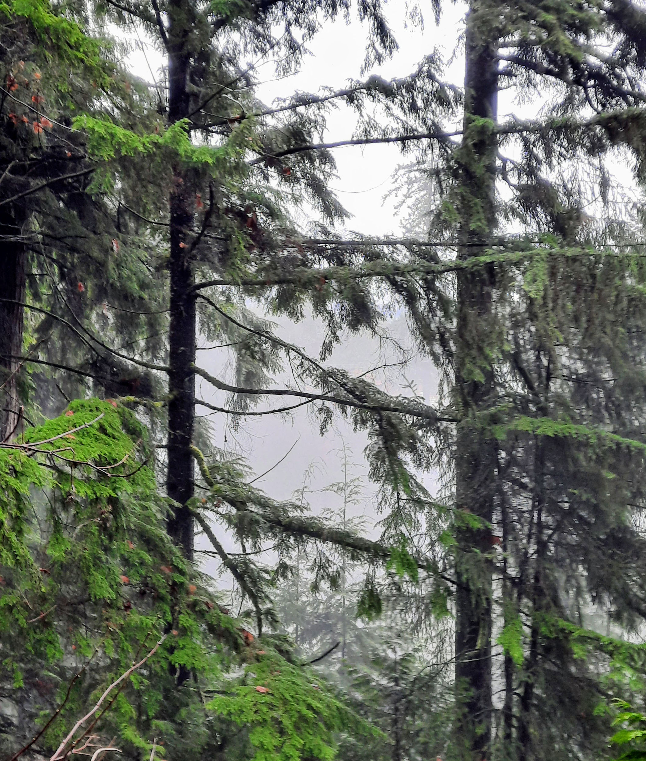
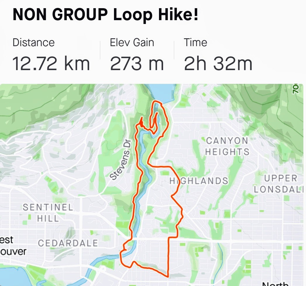
I just went out the back from my place and through Capilano River Regional Park — as it is officially known — otherwise the Cap Pacific Trail.
The main trail had a fair number of users, everyone being out after the soaking of yesterday, but by ducking down to Shinglebolt trail, and near the river, there were fewer people but more spray, and the mud was variable, depending where one was. All good!
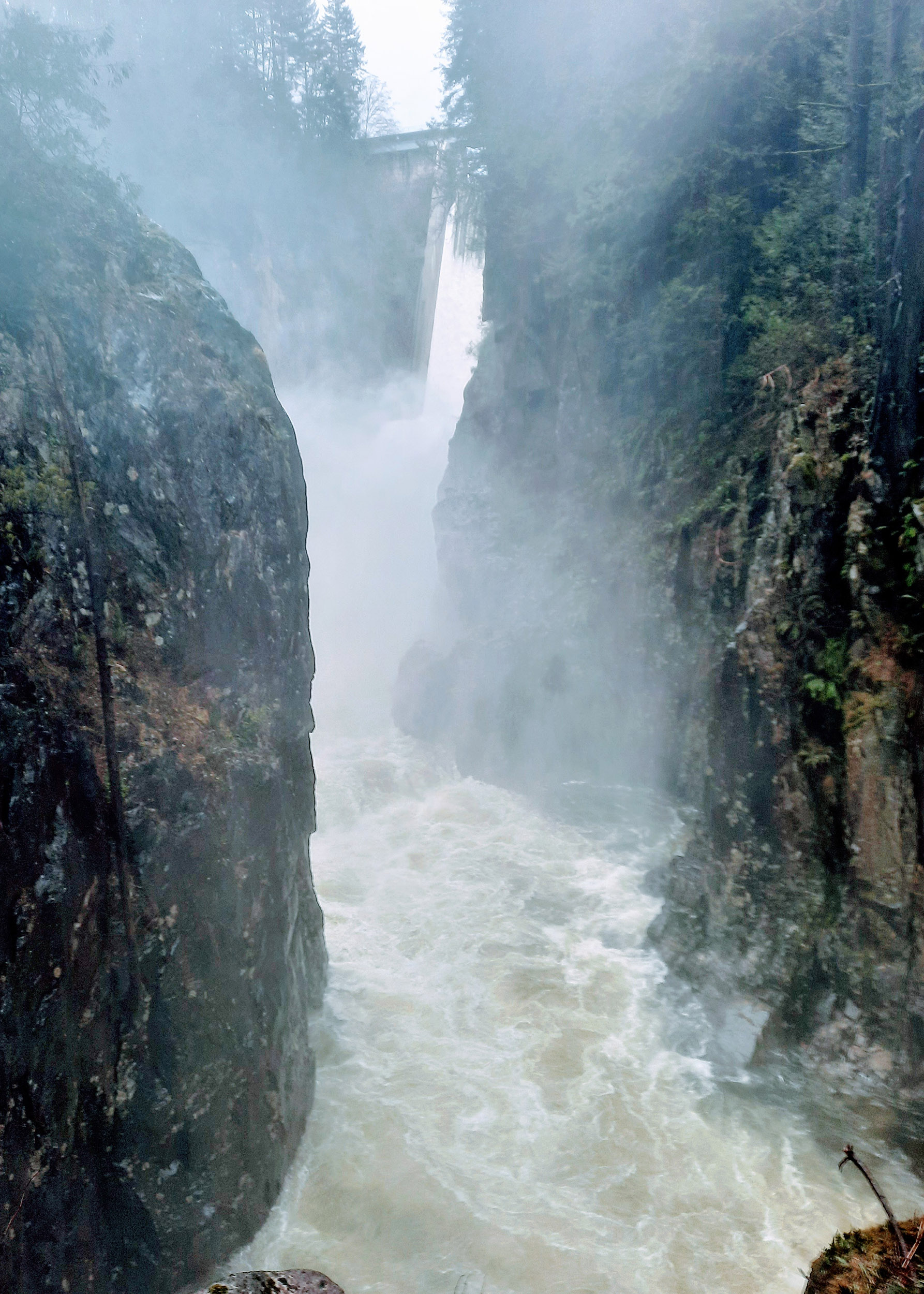
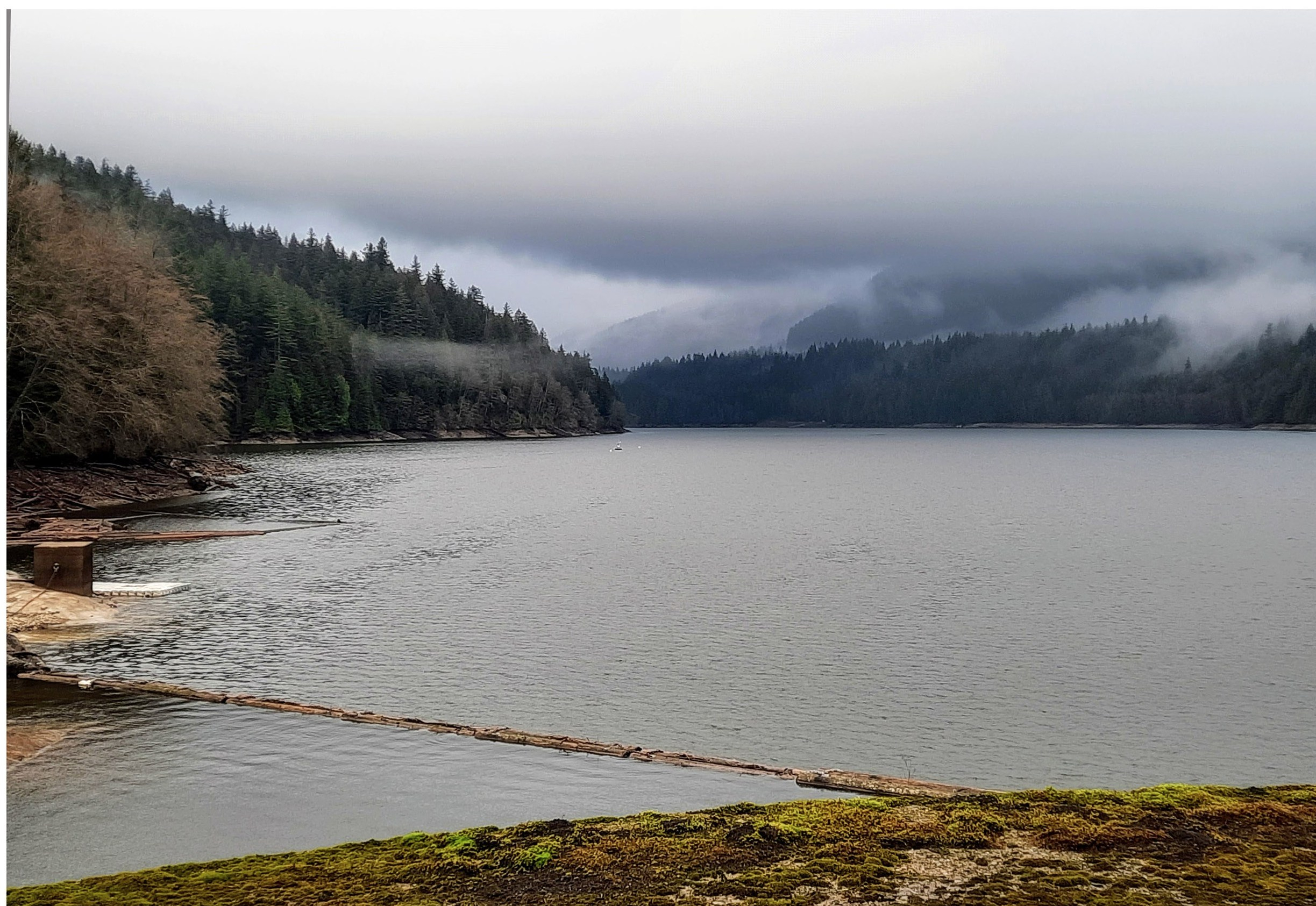
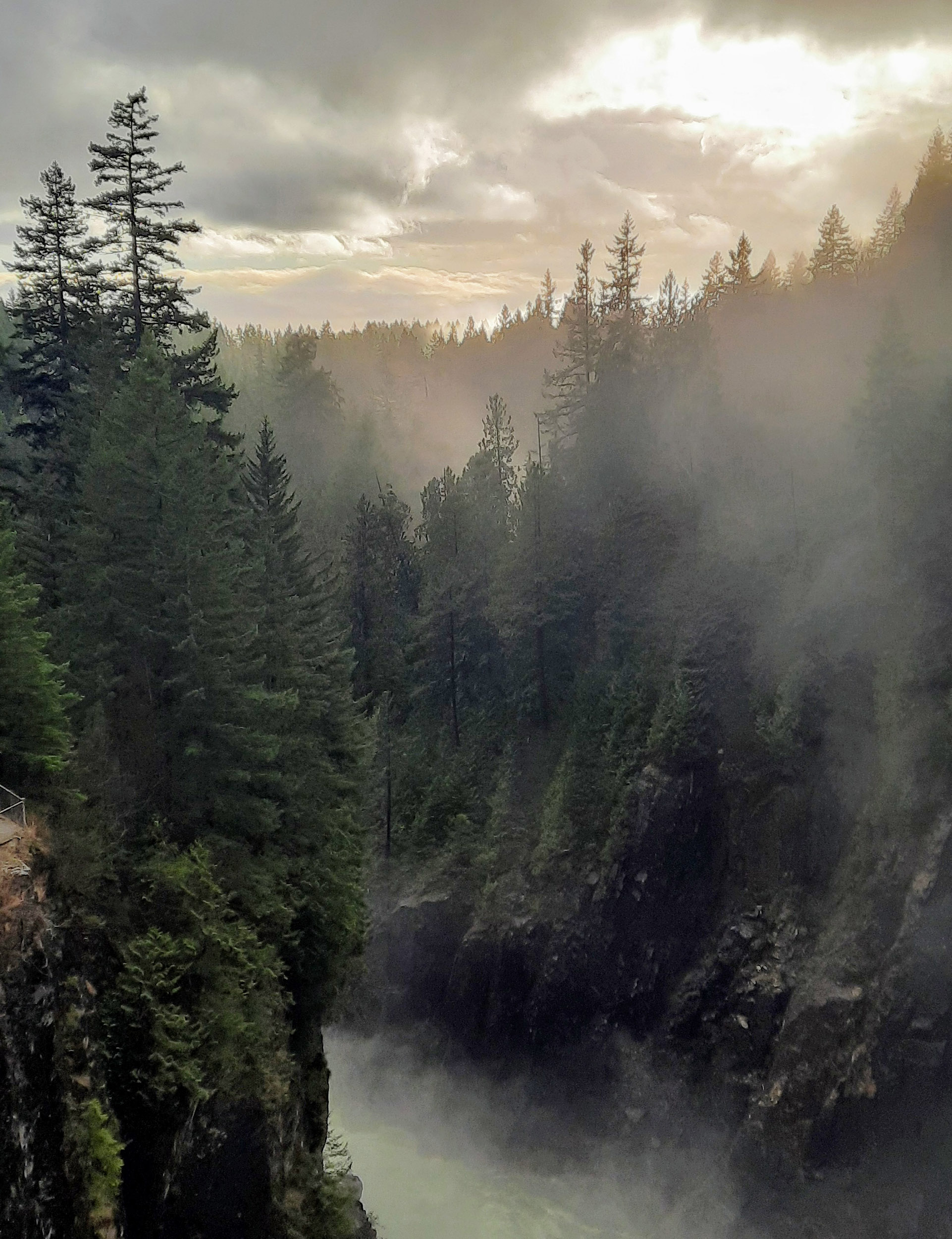
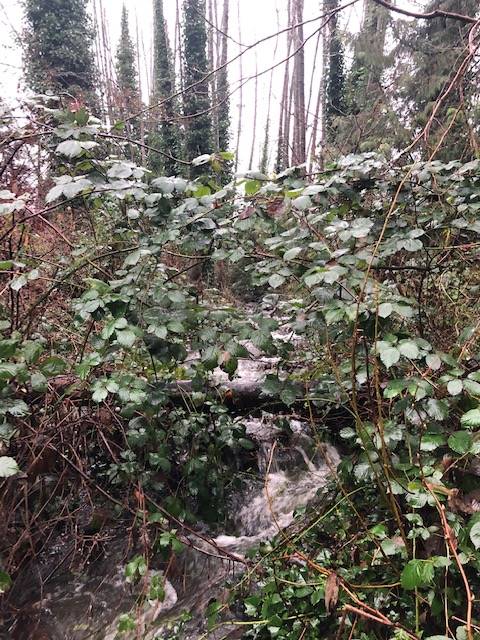
Happy to make it to Cleveland Dam, with NO soaking. Huge water runoff, but alas no spotting of the Lions peaks behind the Capilano reservoir (see pix). BUT there was some sunshine spotted across the water to the south!
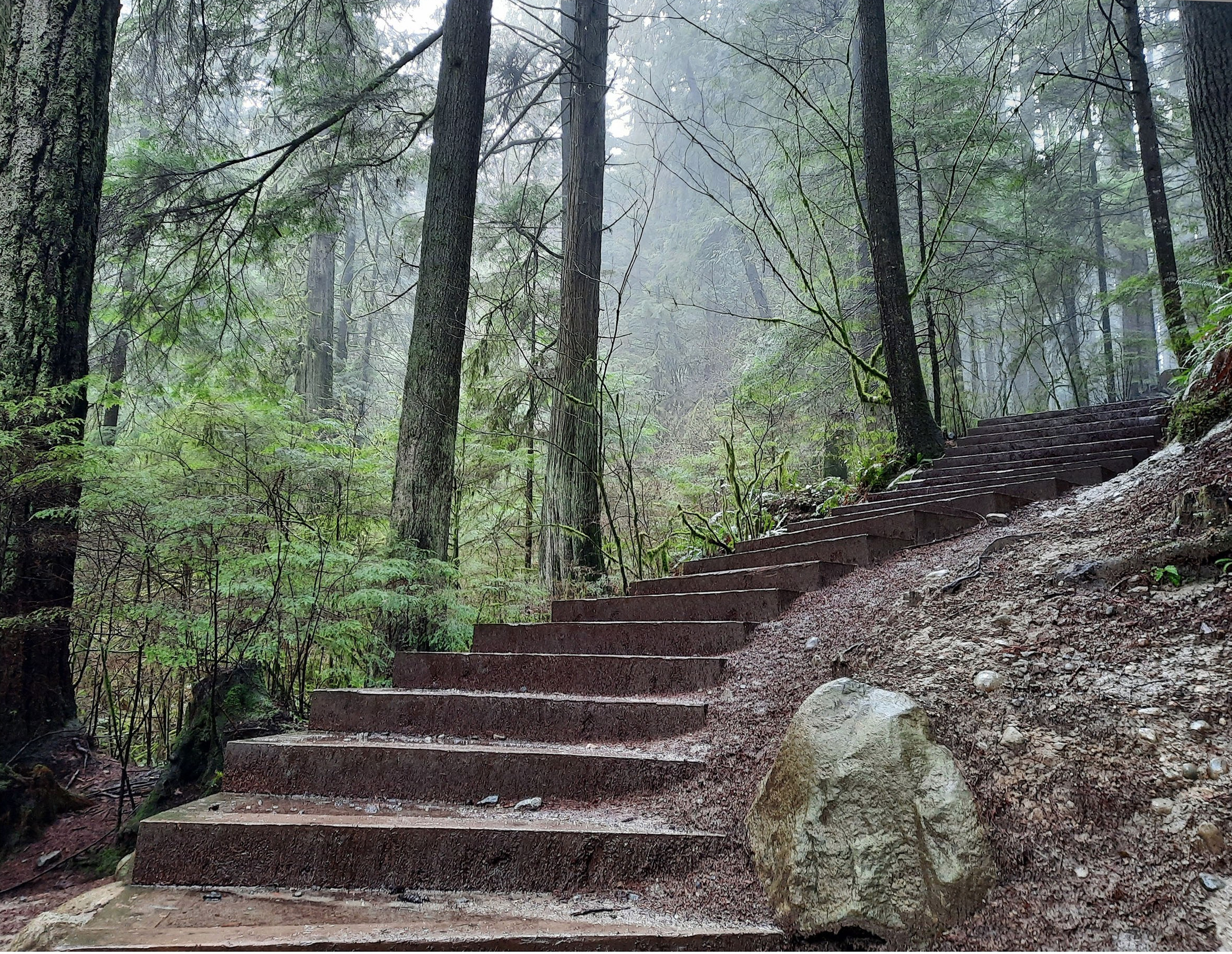
Then down the east side of the Cap River (past the salmon hatchery). Much quieter… Detour to Edgemont Village for “some refreshments”, then headed down a staircase from there to Murdo Fraser Park. (Many will remember the duckless DUCK POND from a previous walk.) Still no ducks.
Across the highway on the orange bridge overpass, a walk through Pemberton Heights neighbourhood, then down a staircase onto Bowser trail going west, eventually across Capilano Rd., and home… Still DRY!!
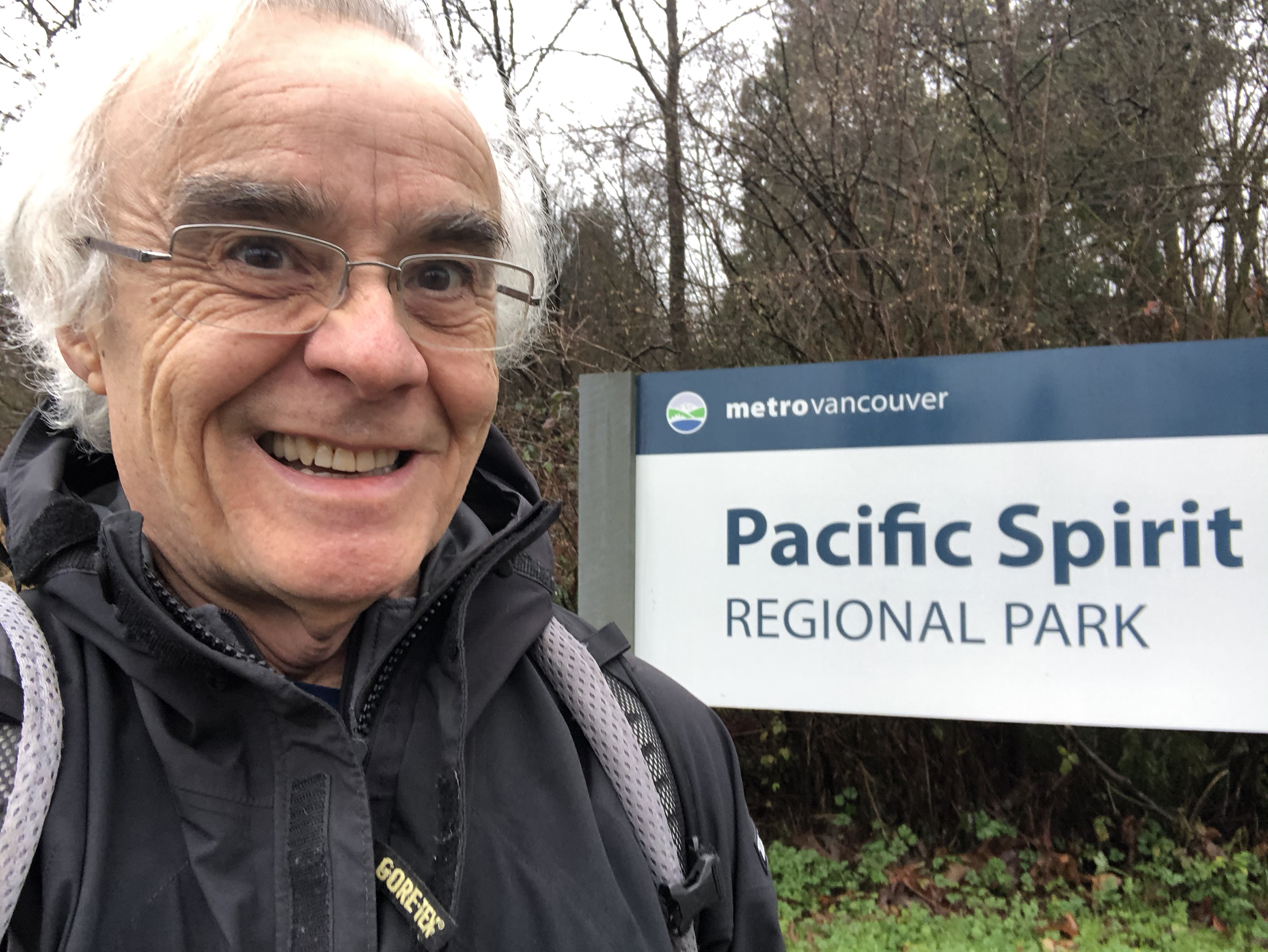
Alan
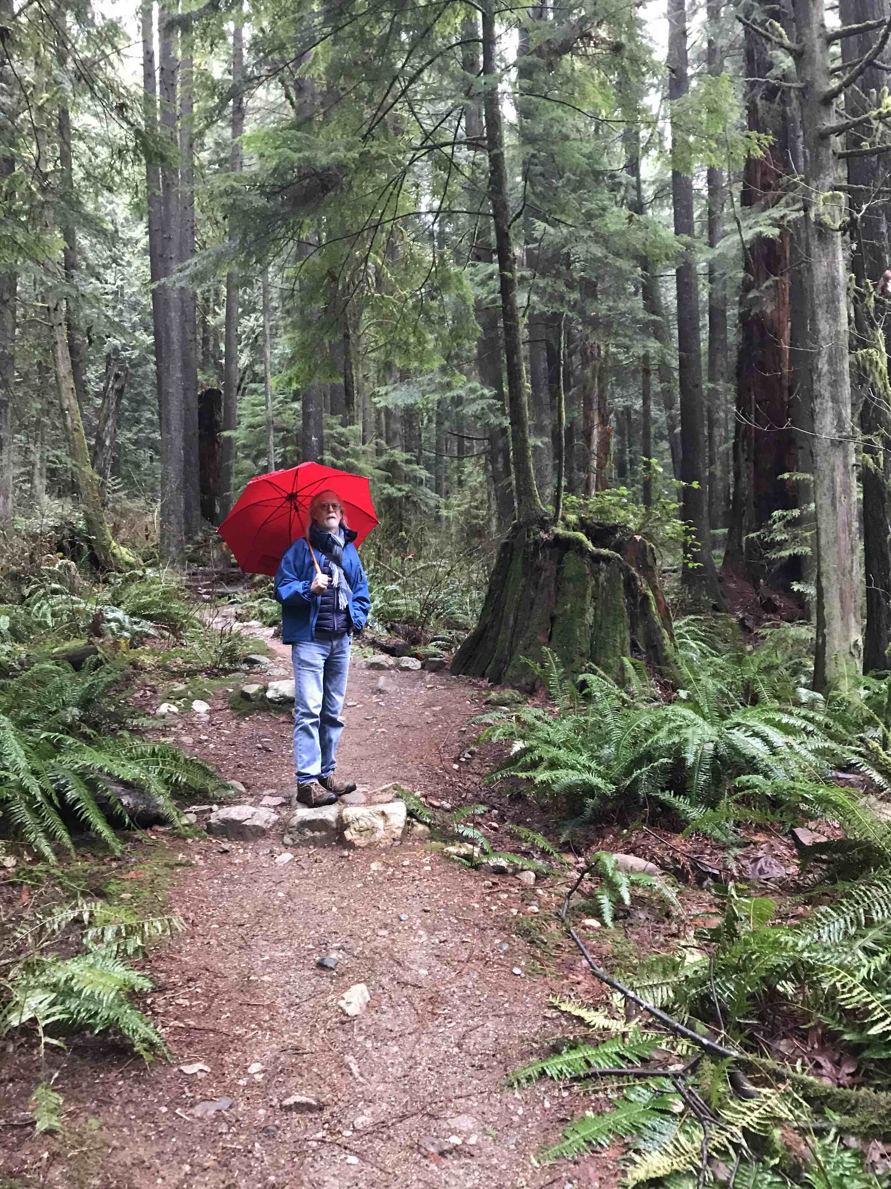
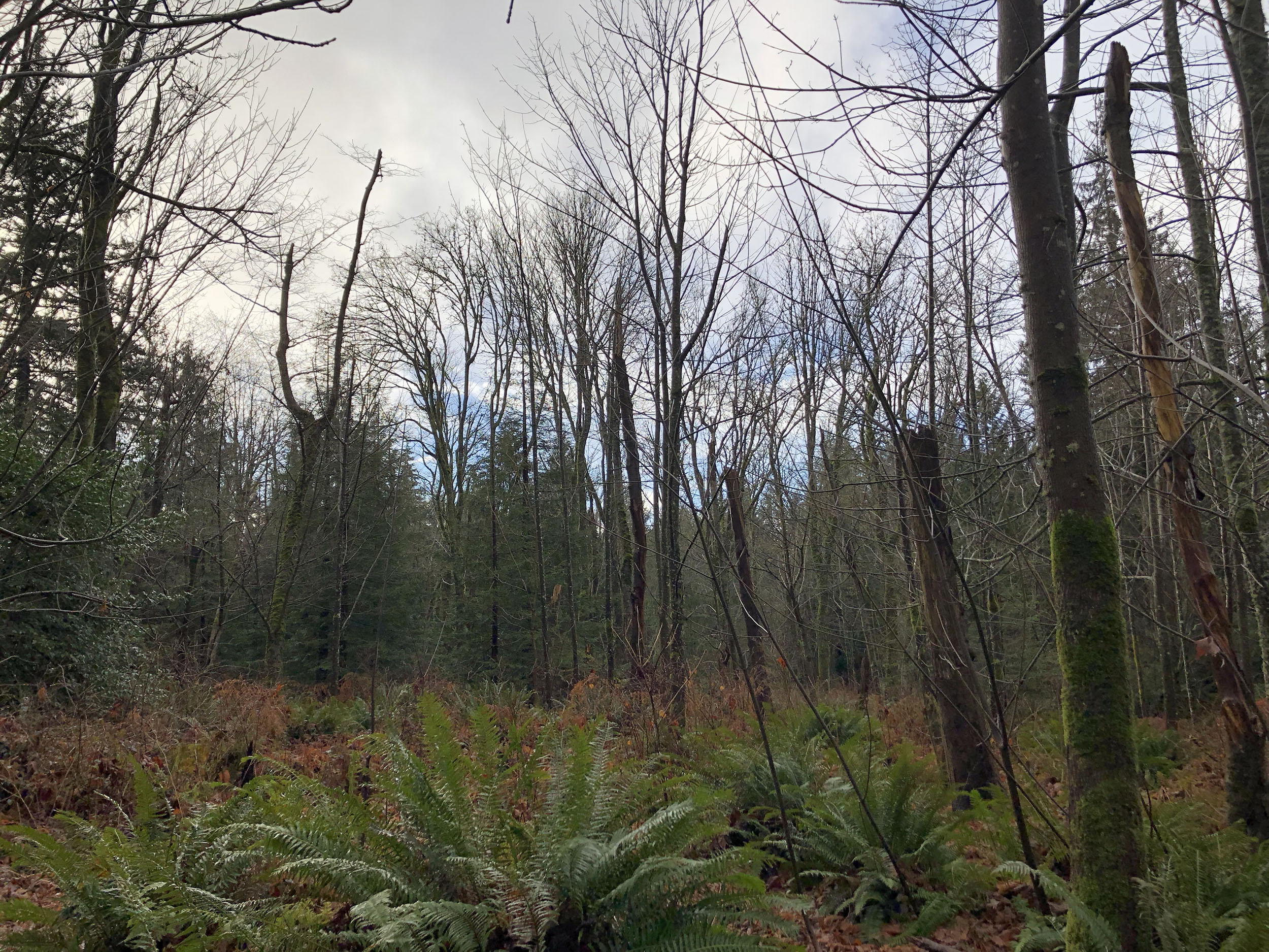
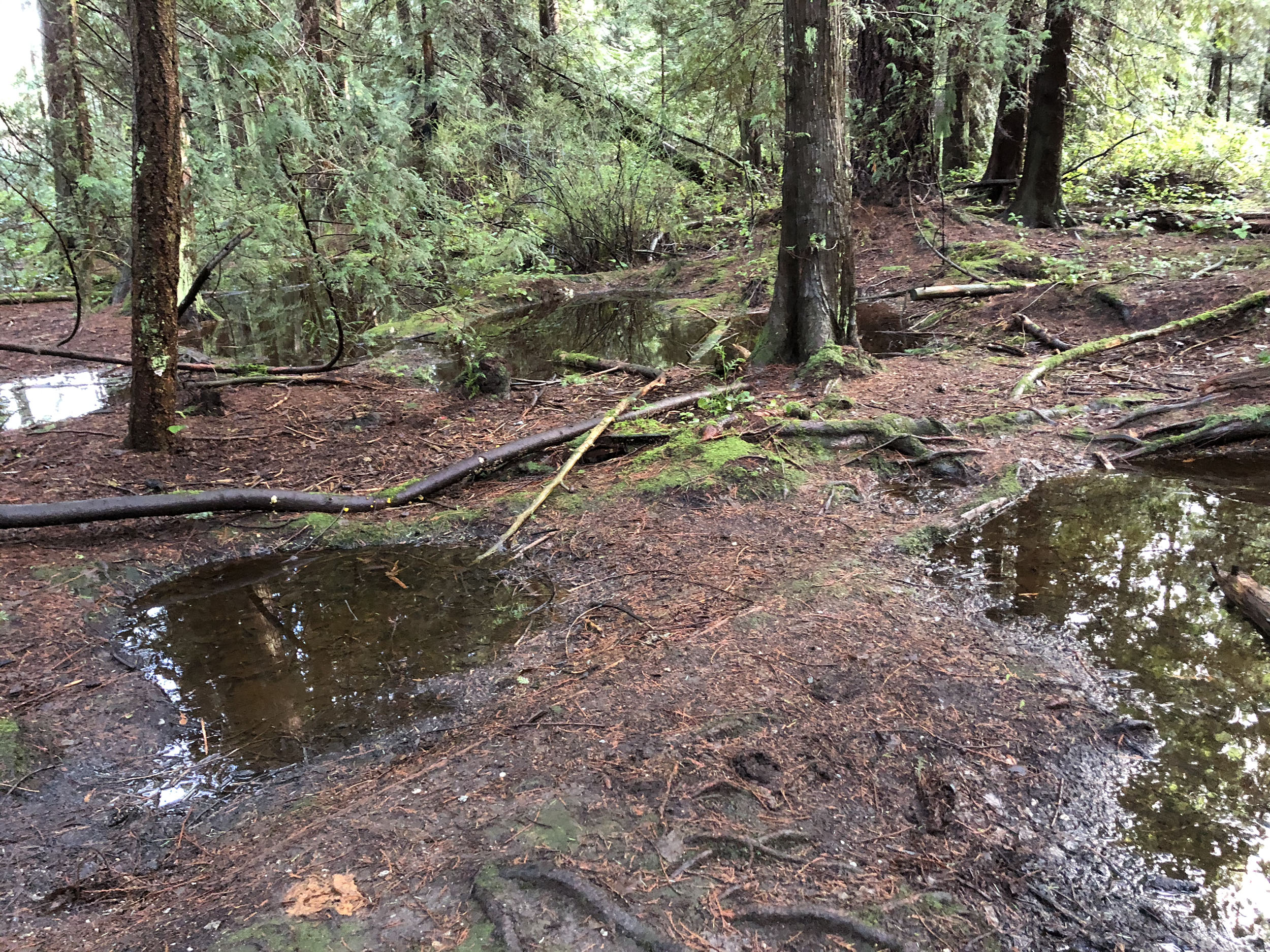
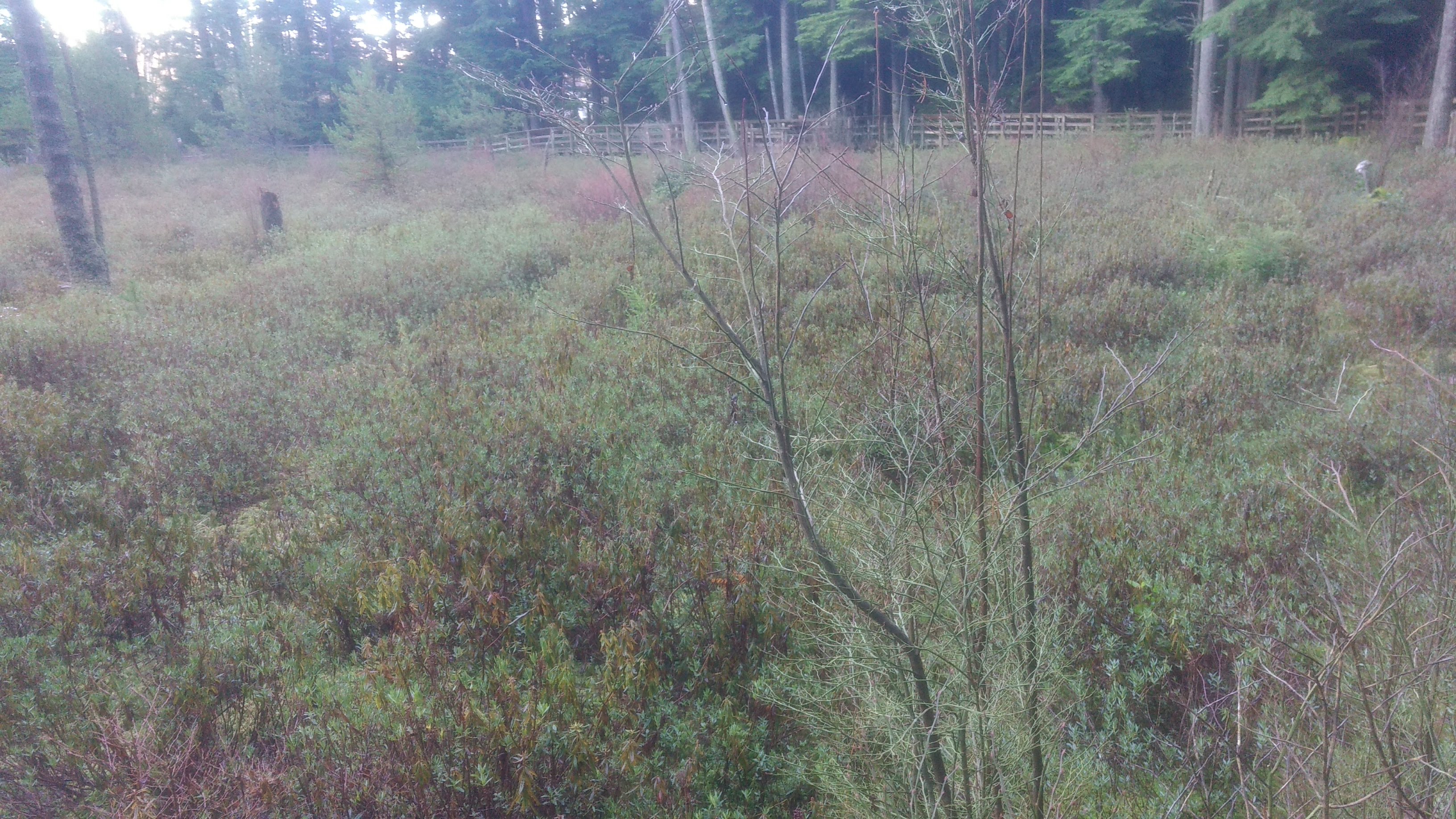
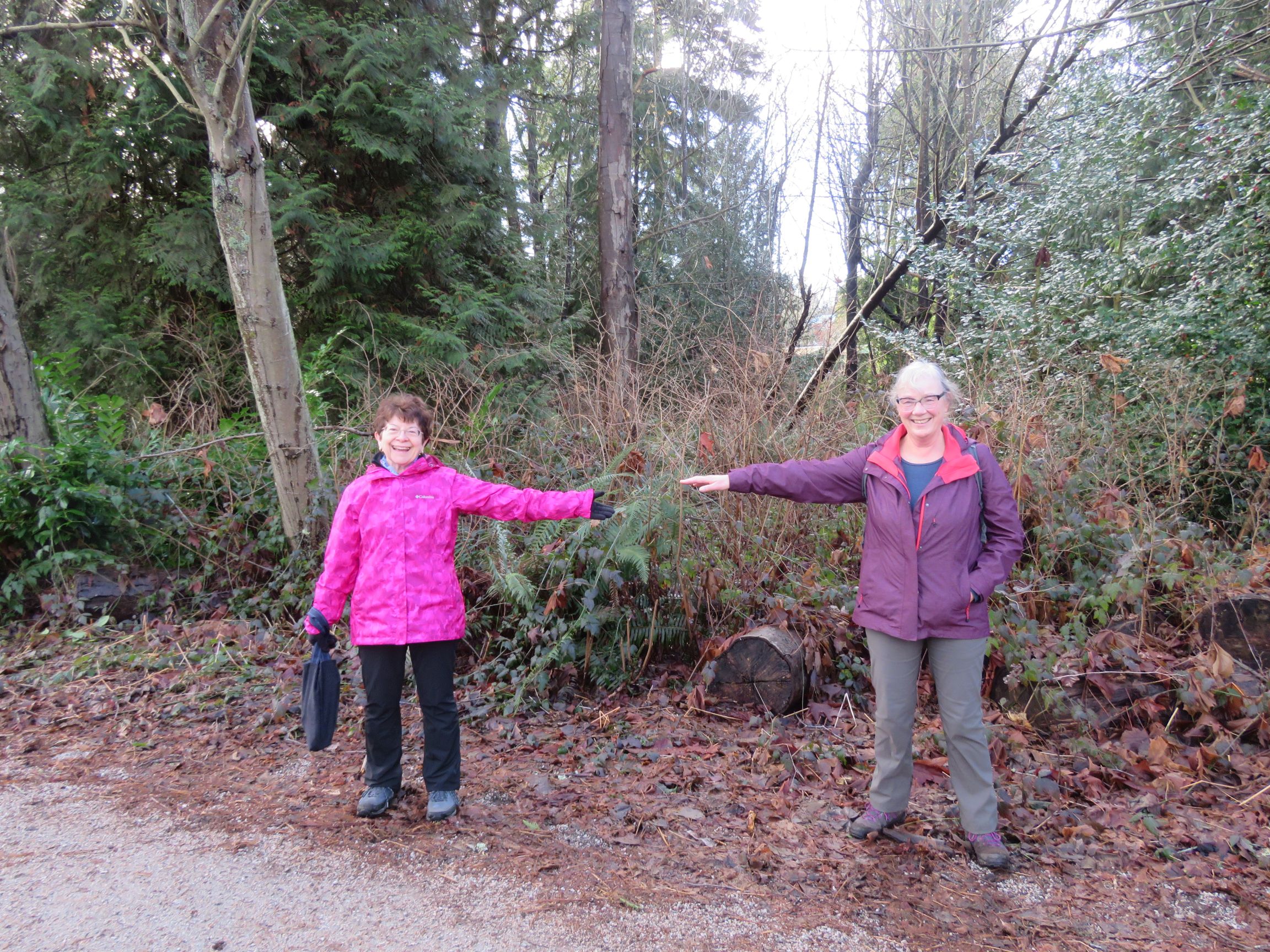
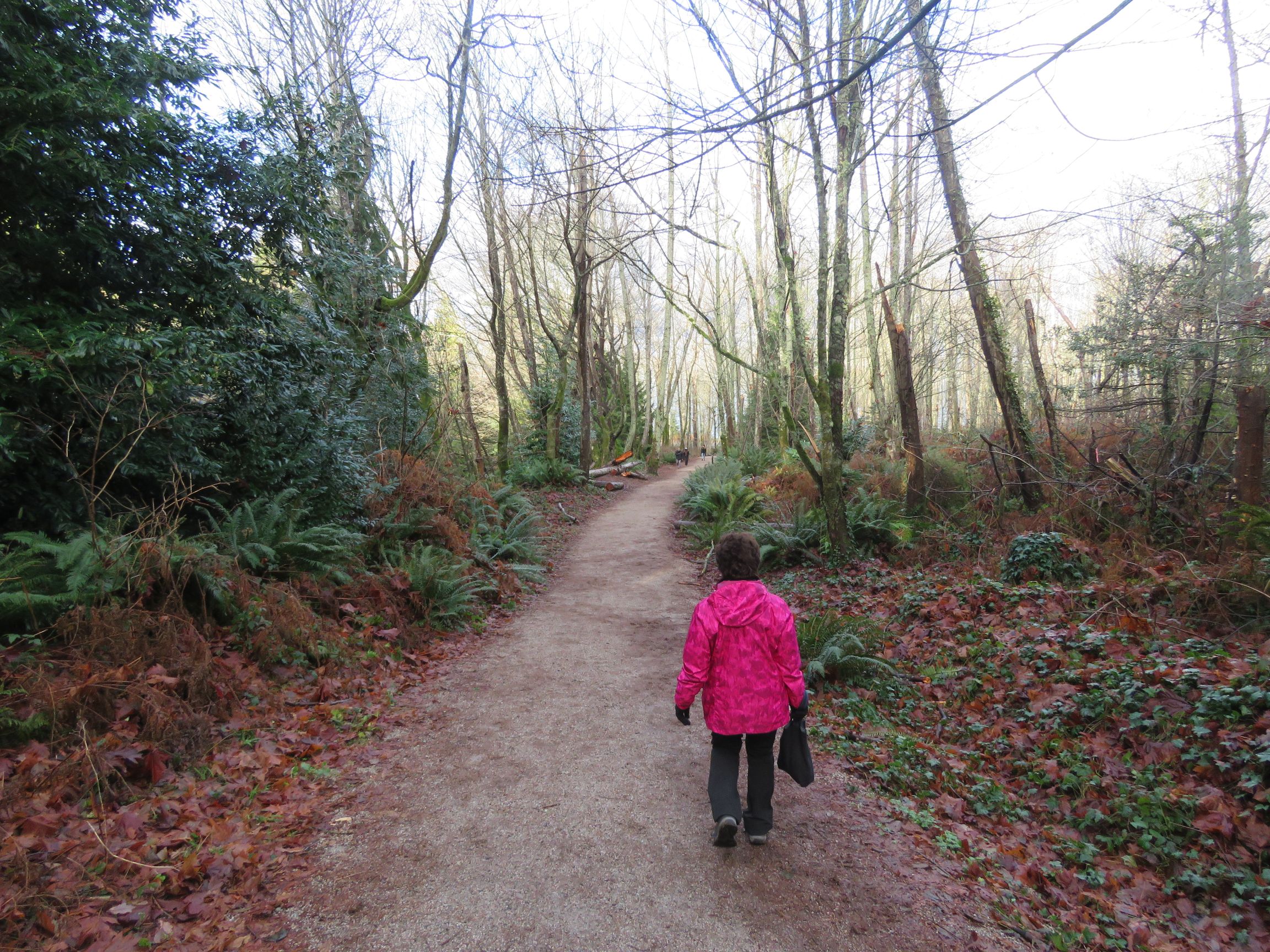
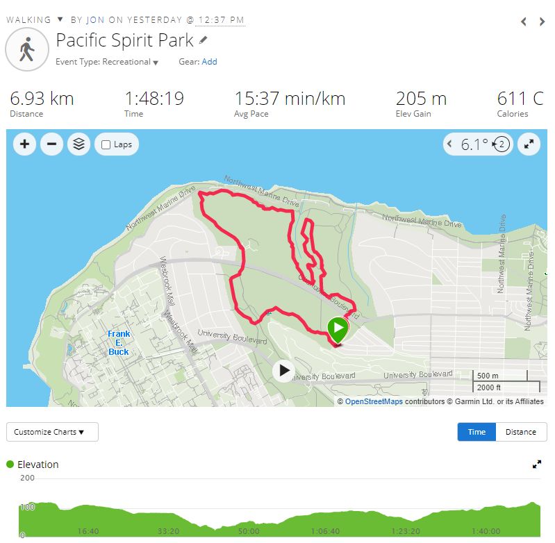
I went for a forest walk through Pacific Spirit Park. The hardest part was deciding what to wear, since the weather report online said it should be OK, but the weather out the window was a downpour at 10:00 am. I took rain gear, but didn’t need it. It was very lightly raining when I started but got better as I went on.
I entered the park at West 16th and Imperial Drive, and headed south via a couple of trails, down to the SW corner. From there I took Salish north all the way to its end, then back south down Cleveland to the end and finally back across a couple of trails to my starting point. A nice loop. The park is always pretty boggy, but there was even more surface water than usual today, not surprisingly, though the trails were in good shape except at a couple of spots. I don’t know the exact length because my tracker went nuts, but roughly 14km based on time.
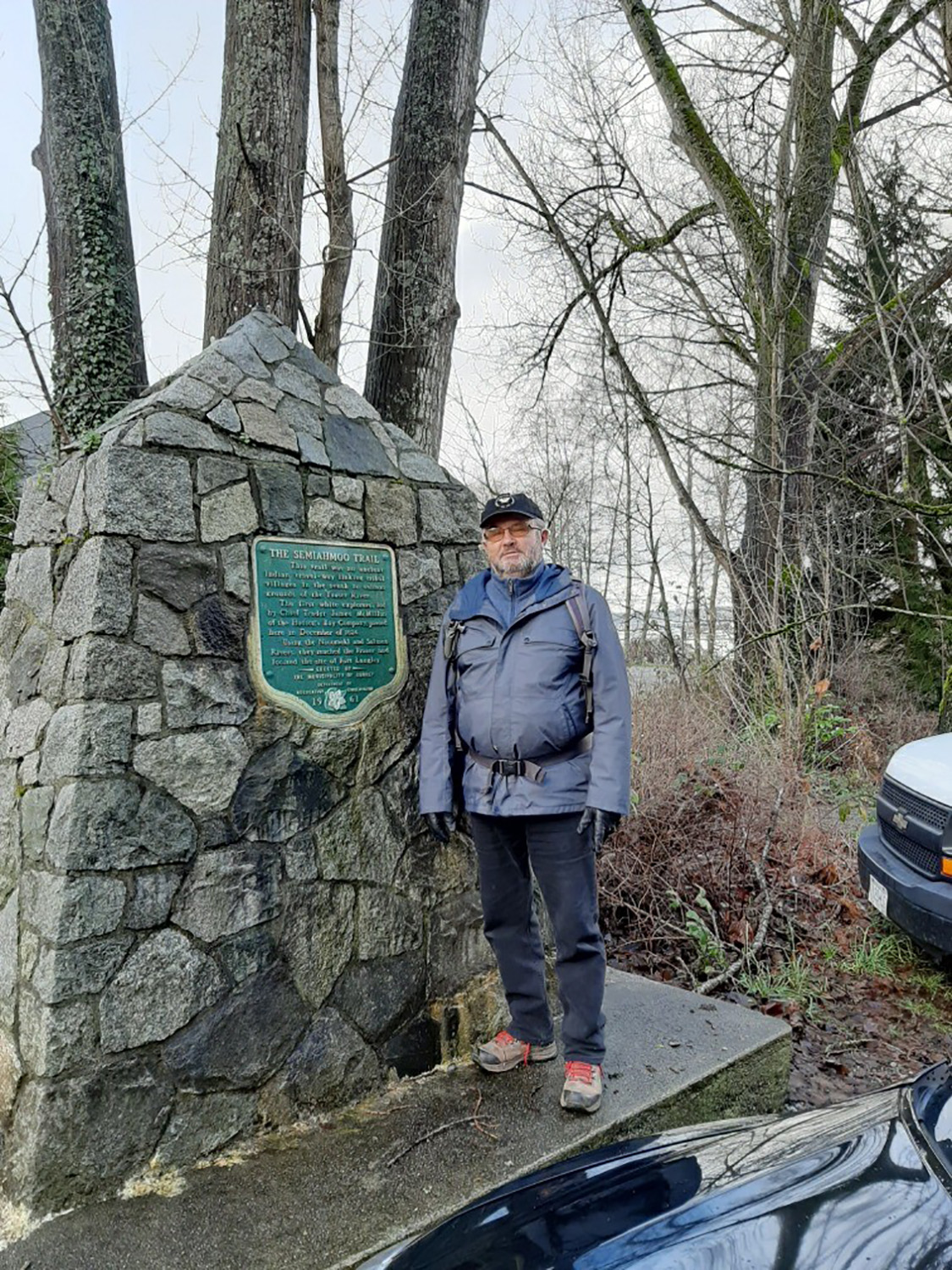
Carol and Sandy
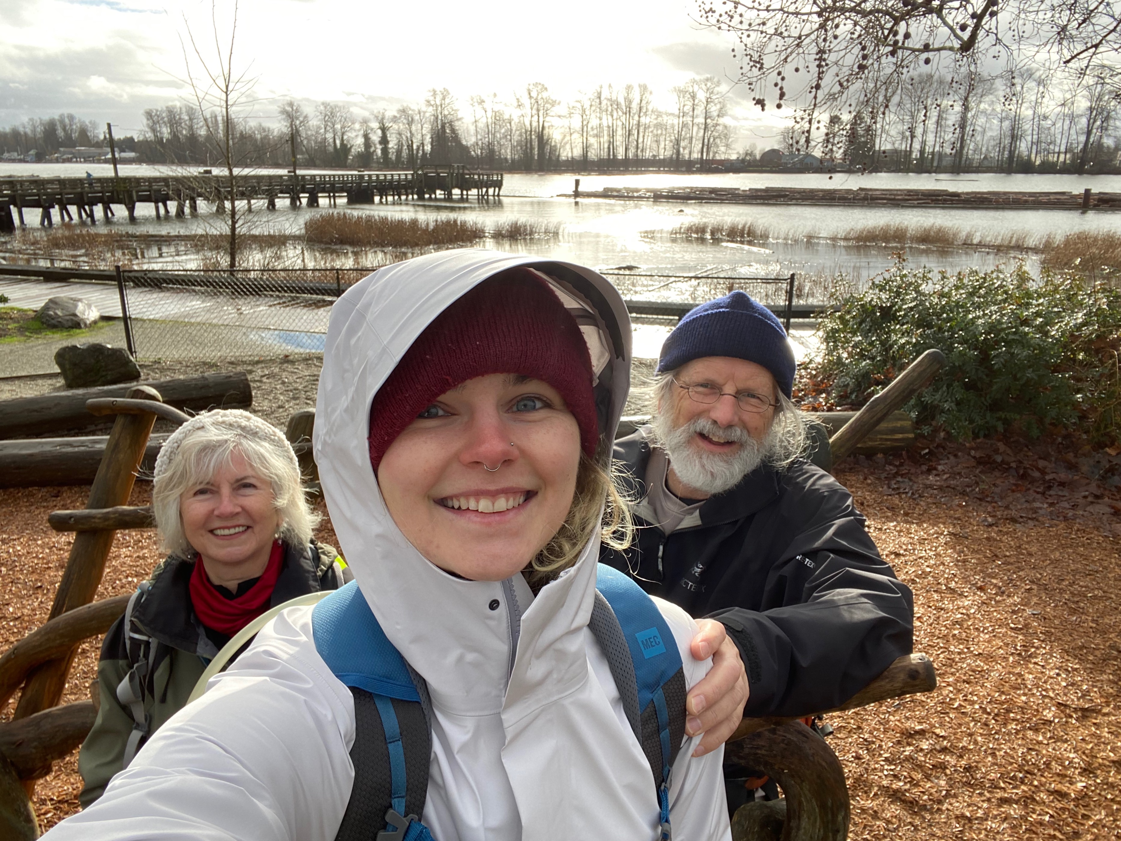
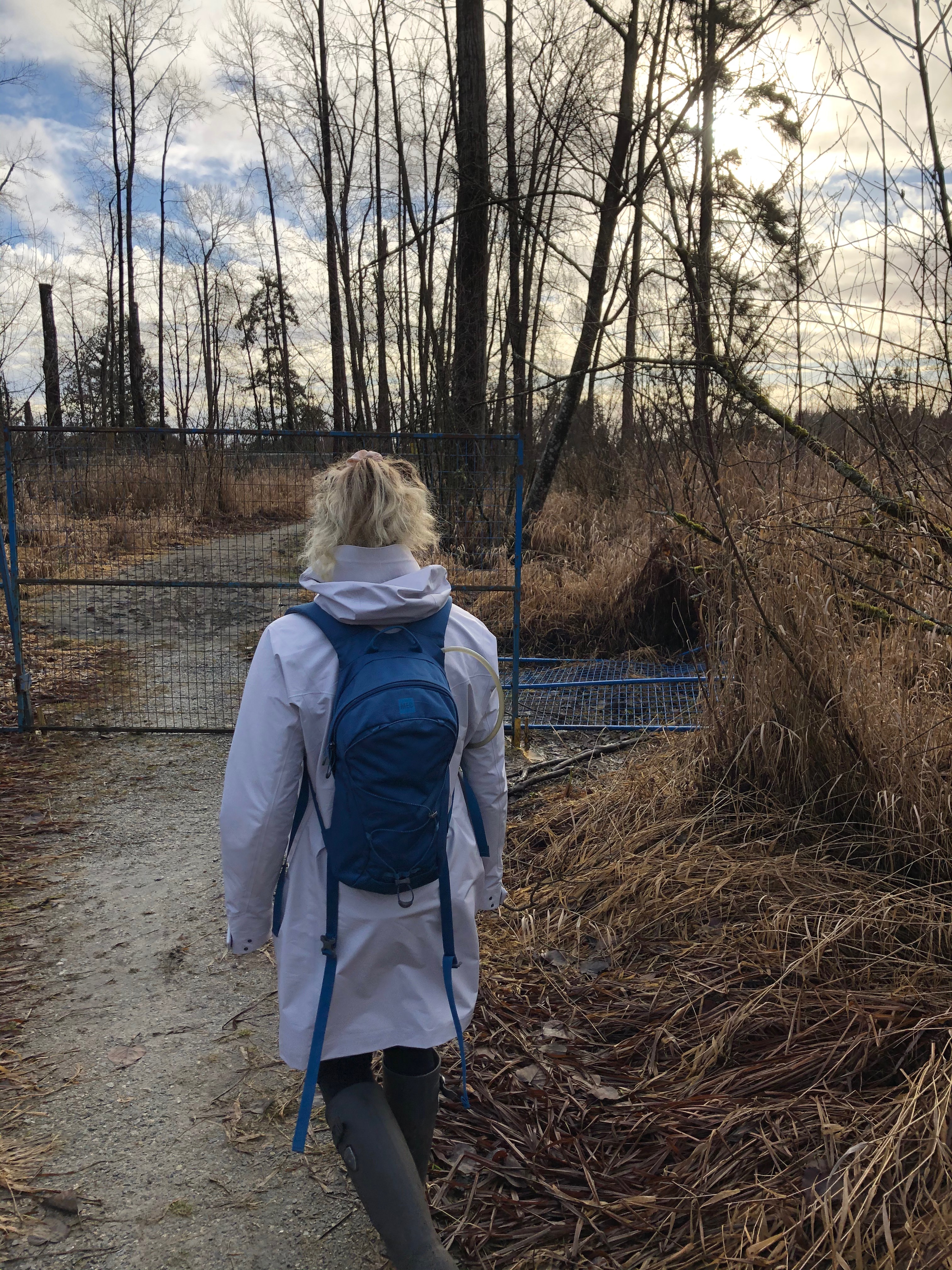
We set off for Crescent Beach, hoping to find sun — or at least no rain. Just at the Hwy 99 King George turn off, we spotted the Semiahmoo trail, and a parking spot. All looked very pleasant at first, but then we started seeing some signs of trouble.
The first warned of golfers and flying golf balls.
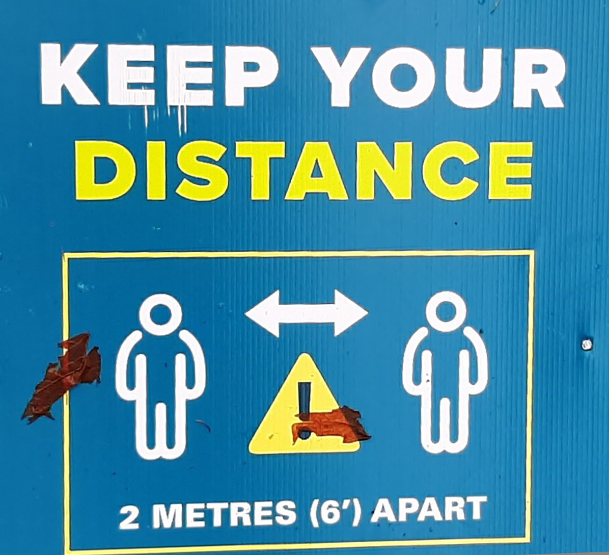
Then we were warned to keep our distance.
Finally, we saw an advert for a fight club – using oars – “Learn to row”.
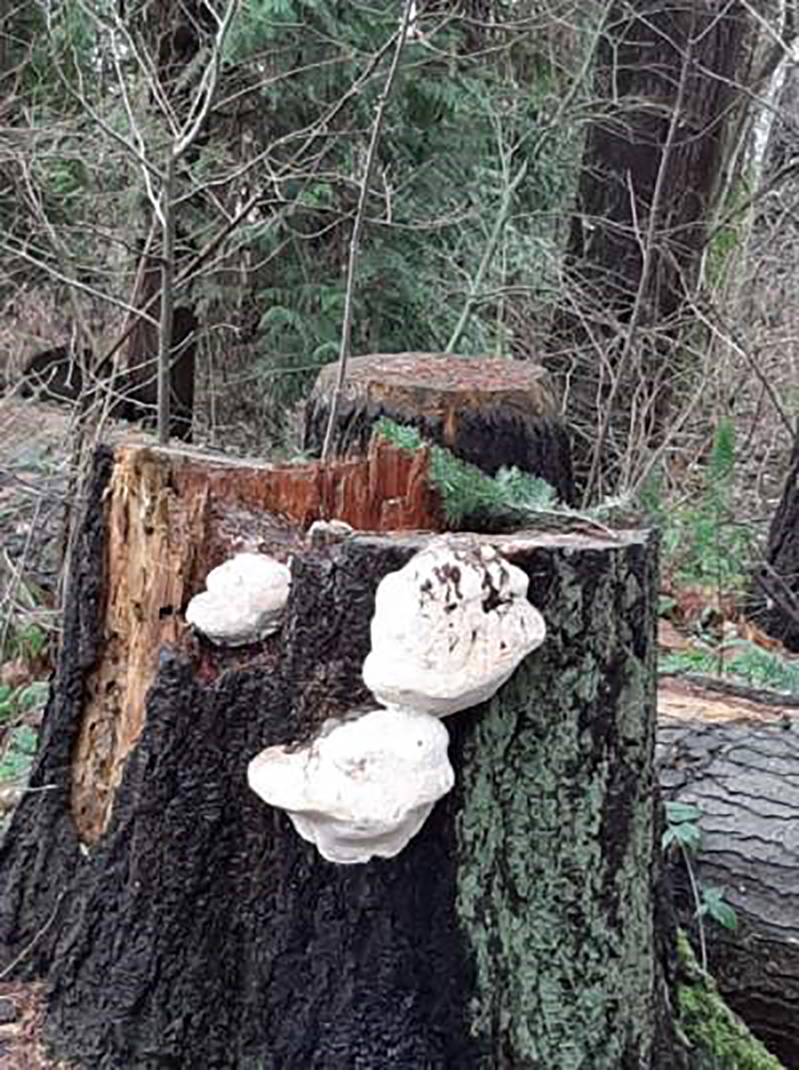
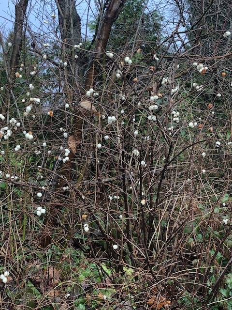
We spotted some pale specimens leaning on a tree, but missed our Looper friendly fun guys.
But later, we saw bird watchers, starting out on a new Big Year? One said that she was trying to spot a yellow-billed loon that was rumored to be in the area.
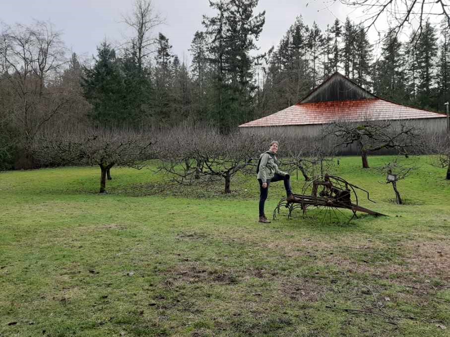
We saw an ideal pond for skating — if weather temp drops. And looked around the historic Stewart farm.
A beautiful walk.


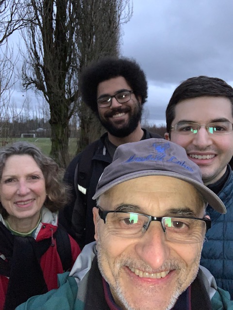
Dave, Catherine, and Angela
We did the Loopers Fraserview Trails walk. We chose the route partly to escape the anticipated North Shore rain and partly to allow Angela to experience the route, as she was out of town for the group walk last February. There were lots of trees, but it wasn’t dense forest: more of a mix of trails (with lots of muddy puddles, as mentioned by others), urban streets, and the path along the river.

Fred, Joette, Aaron, and Austin
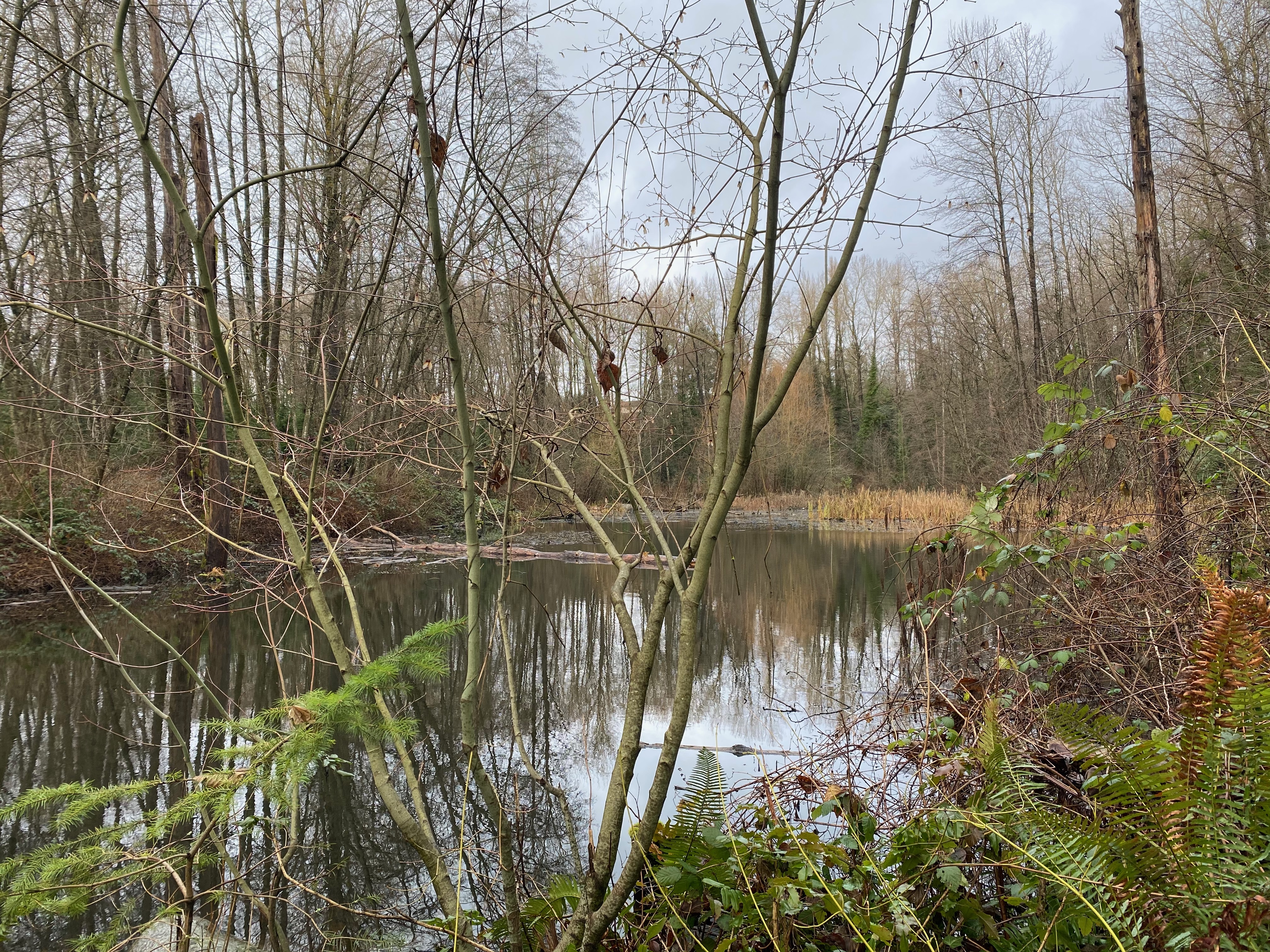
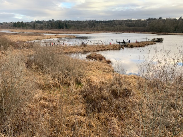
Our walk: Burnaby Lake, 10.3km, about 1:45hr with a stop at the viewing platform on the north side.
- We were a group of four with our son, Aaron and his cousin, Austin in attendance. Having postponed our walk until the afternoon because of the rain, we headed out at about 2:30 and had a completely rain-free outdoor experience. I think we all agreed this was the highlight of the walk! Seriously, it was a very pleasant tramp with lots of people enjoying the late afternoon sunshine.
- Burnaby Lake is a lovely park with a lot of variety and it manages to convey the wilderness-in-the-city experience. Yes, Wilson Avenue runs along its northern border and Highway 1 along the south but the sheer size of the lake and surrounding marshland make it easy to embrace the illusion. To top it off, wildlife is in abundance with lots of water fowl, herons, Canada Geese and Black-capped Chickadees.

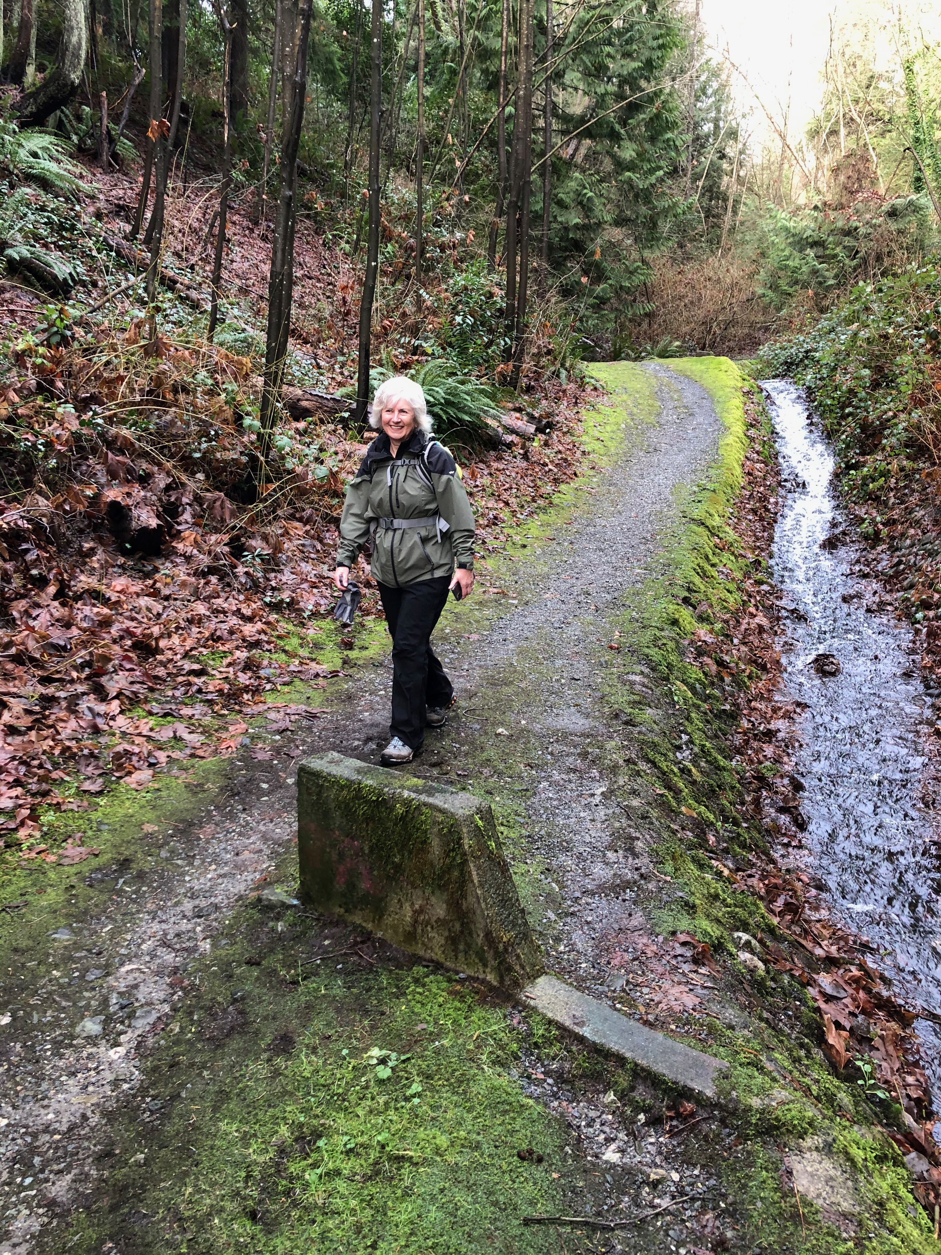
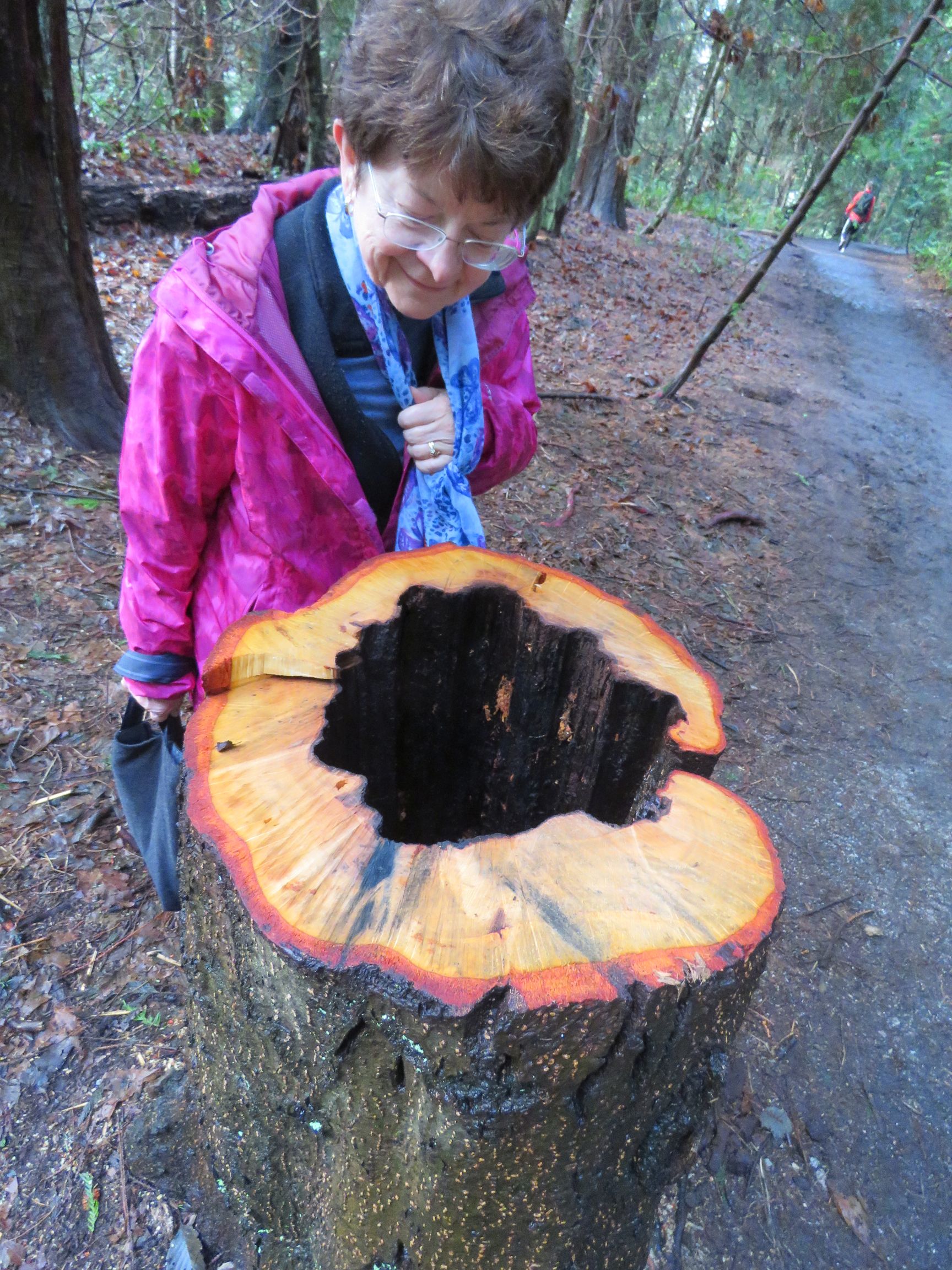
Gord and Joanne
It was raining fairly heavily this morning, so we decided to walk the Langara trail which loops around the Langara golf course. We parked on Cambie Street and walked in to pick up the trail, going first counter clockwise. It was raining and our umbrellas were up for protection. The trail was muddy and full of puddles which we dodged continuously. Off to the left, hardy golfers were out on the links. The trail went south along Cambie where we encountered a rushing torrent of water (aka “waterfall”) flowing in a deep culvert at the base of some trees. We then headed east along the Masumi Mitsui bike route passing a new residential development and an elementary school. At the end of the bike route, we headed north along Ontario Street passing the tennis courts and Langara Golf clubhouse – again many golfers were out practicing their putting and golf swings. Now at the north end of the loop, we passed the back of Langara College and some townhouses. Along the way, we saw a few hardy souls out walking and jogging the trail. The weather was mild for the first week of January — global warming?? Back at the start, we did a second loop, going clockwise and when we ended, the sun was starting to come out. A great walk for a soggy January. Distance about 5 km.
Janet S
Yesterday was really a nice surprise, weather-wise.
I walked from home to Pacific Spirit Park. I went along the Admiralty Trail in the north of the park, and then headed south. I had been wondering if I would bump into any of my Kits neighbours, and indeed I did see Liz and Jon on the trail, a very nice surprise. I meandered through the park to Camosun Bog, and then headed home.

Jon and Liz
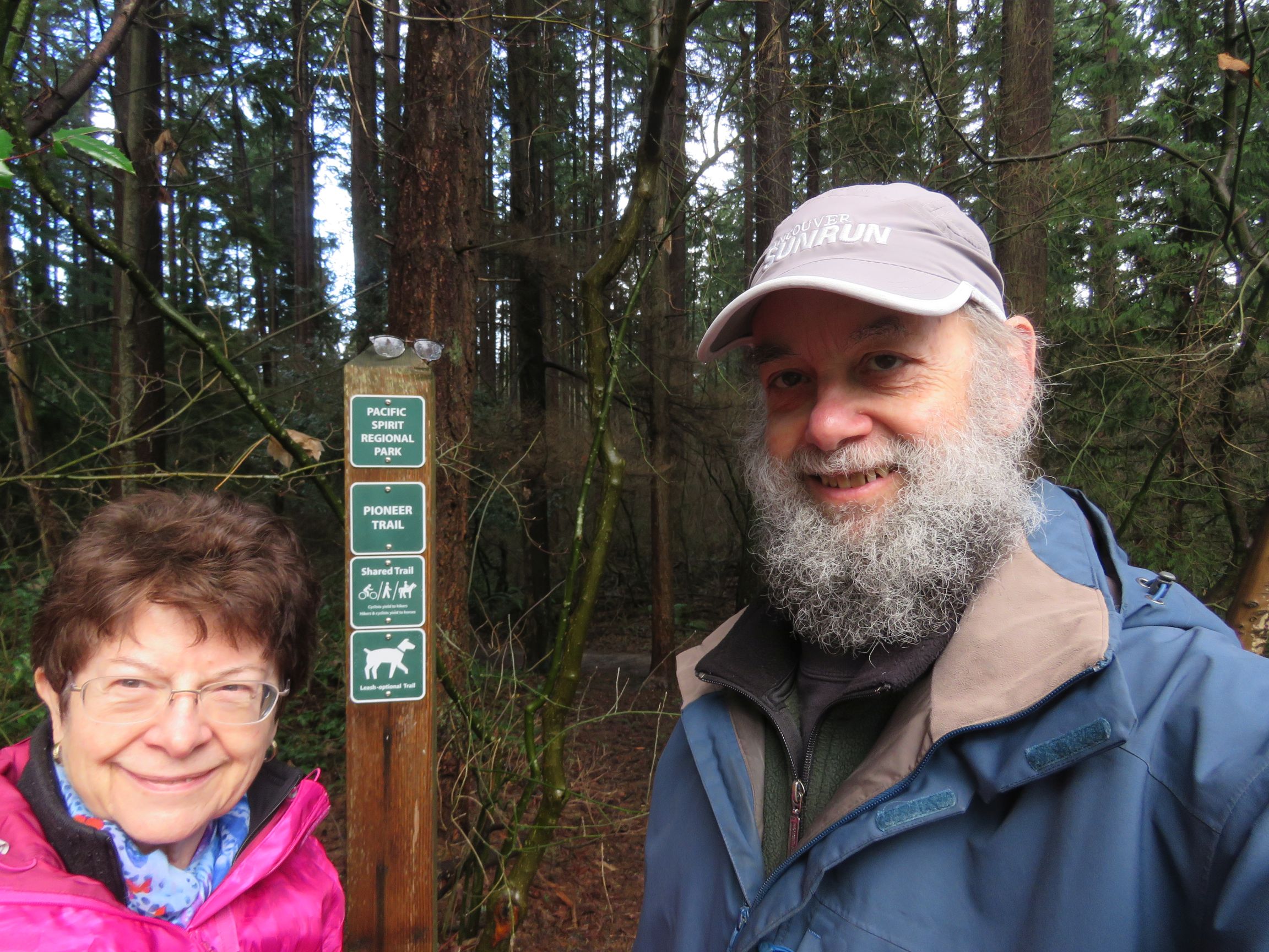
We wisely decided on a later start for today’s outing, because by the time we headed out a bit after noon the sun had started to break through the clouds. I had chosen to visit the north side of Pacific Spirit Park, partly on the theory that it is generally less busy than the south side. Judging by the number of cars parked at various park access points along the way it was likely a wise decision. We did encounter a fair number of people (and canines) but it wasn’t at all crowded. We entered the woods via the Spanish Trail, off College Highroad, west of Blanca. We followed the trail east through the woods and past a marshy area where beavers are known to live. Ascending, we reached Swordfern trail and followed it north to Chancellor Boulevard.
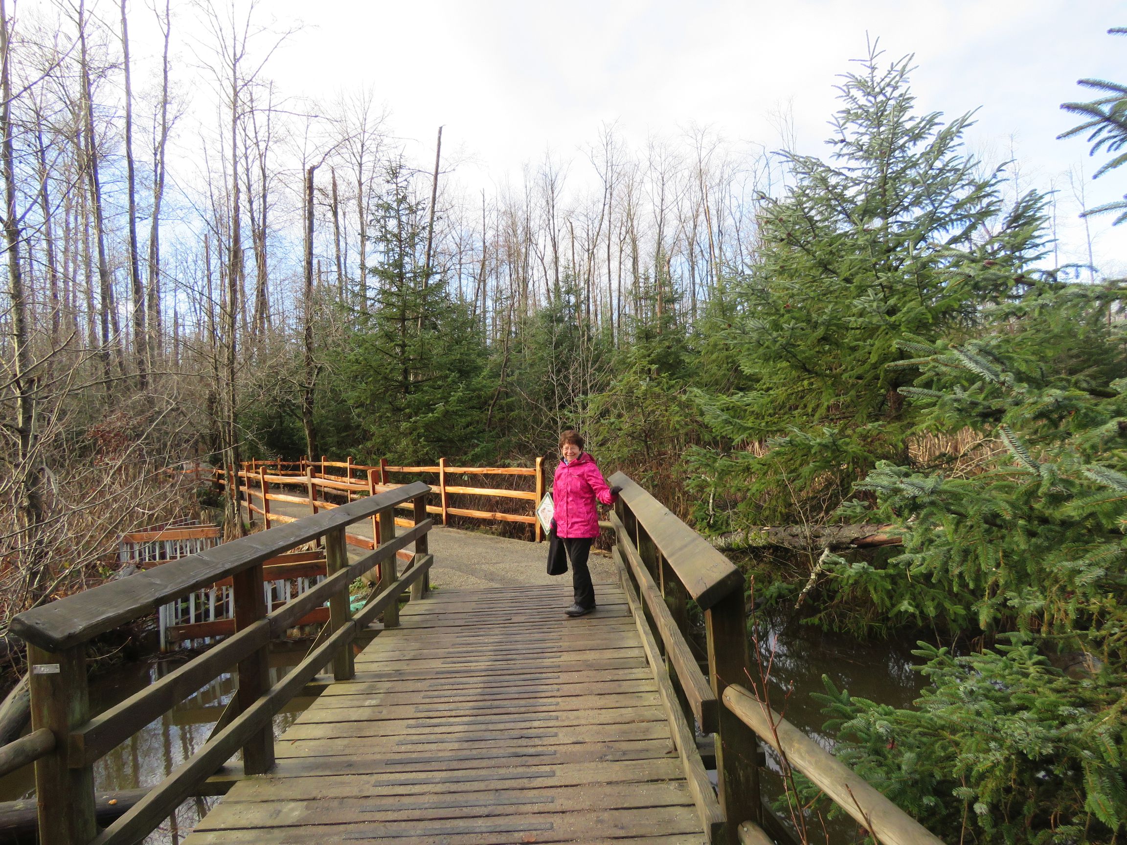
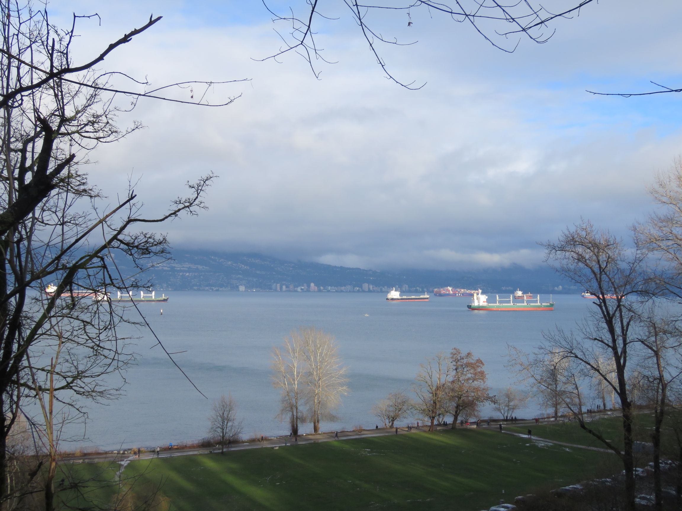
Just after we crossed Chancellor and started down Salish Trail we met a fellow Looper, Janet S, headed in the opposite direction. After a brief socially-distanced conversation we proceeded on our prospective ways. After descending to Spanish Banks we climbed back up via Admiralty Trail which had a number of quite muddy sections (not surprisingly given the recent rains). That trail is overdue for some maintenance. From the trail we had nice views over English Bay. On reaching the major canyon that drops down to Spanish Banks we went up the West Canyon Trail and then back down the East Canyon trail, cutting across to Pioneer Trail. Finally we made our way back to Spanish Trail, crossing Chancellor again and completing the loop.
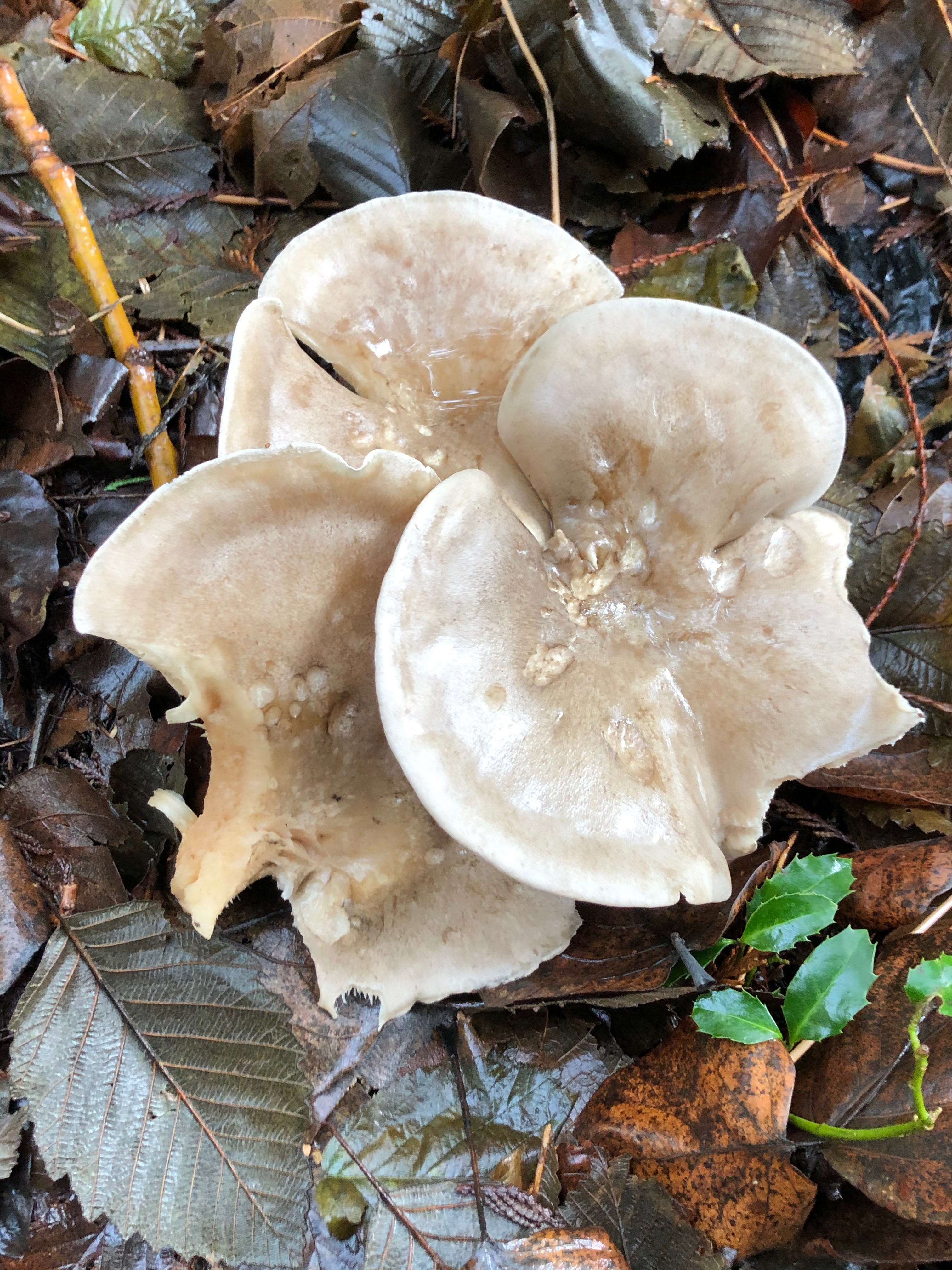
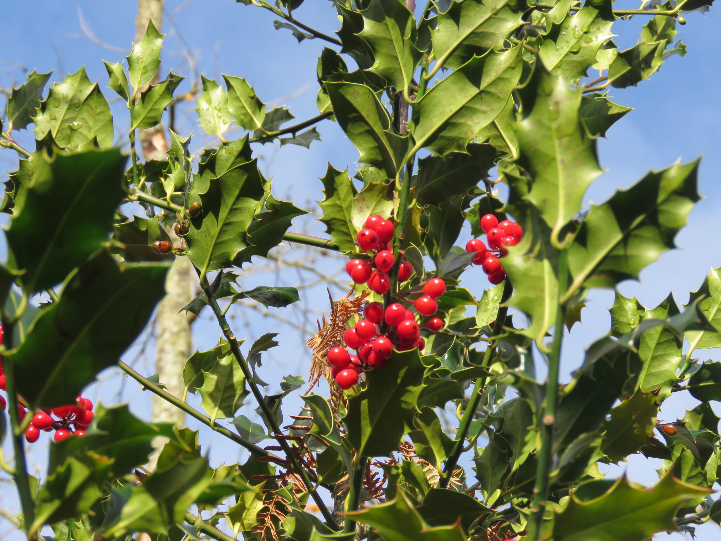
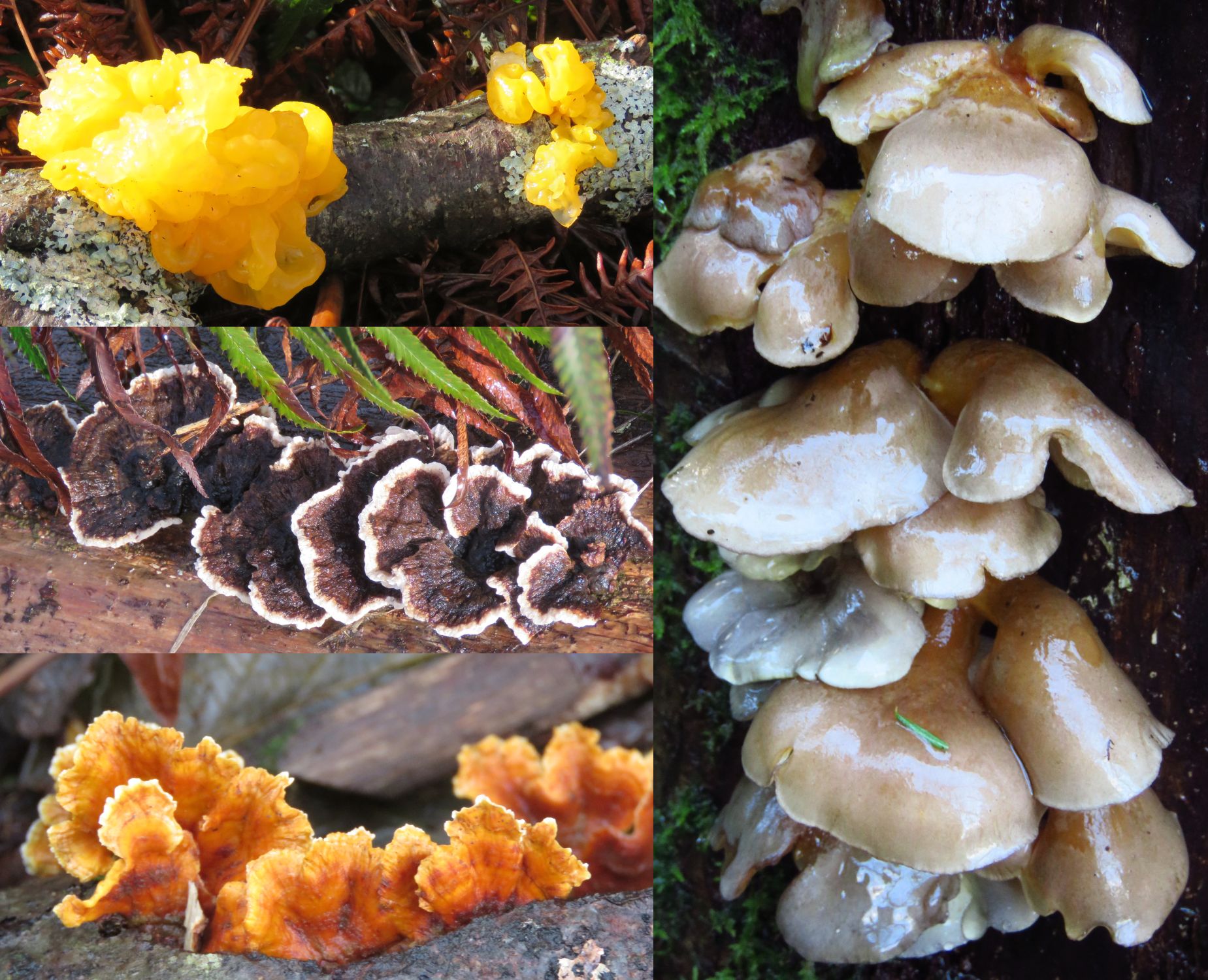
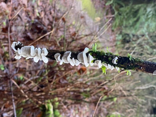
Pacific Spirit provides a good variety of both woods and terrain. The section south of Chancellor is a swamp area and mostly deciduous trees. There are also a number of holly bushes. The north side is more rugged, with several canyons cutting through it, and still a few very large trees about. We observed a good variety of fungi along the way. All in all a very satisfying (and dry) outing.
Maurice, Anne, and Carolyn
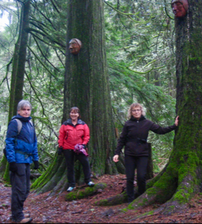
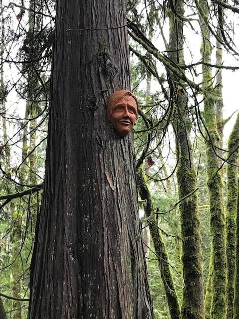
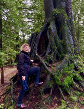
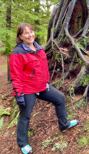
We ventured out to Harrison to seek the Spirit Trail, which is situated 2 km outside the village. The overhead conditions were cloudy and damp. Carolyn suggested this walk as a local artist had placed clay faces onto the trees. Personally I found it rather spooky, with them watching our every move..!
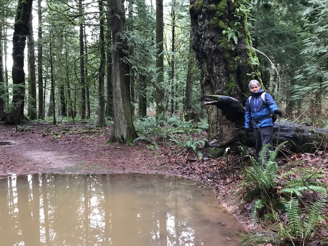
Underfoot it was soggy and many large puddles hindered our movement along the route; however, due to our tenacity and the thought of the wonderful spread at the end of the day, courtesy of Carolyn, good progress was made.
One of the highlights was a tree which decided to fall as I was passing by …. and luckily it collapsed parallel to me with a thunderous roar!
A good day out was had by all.


Michael and Jean
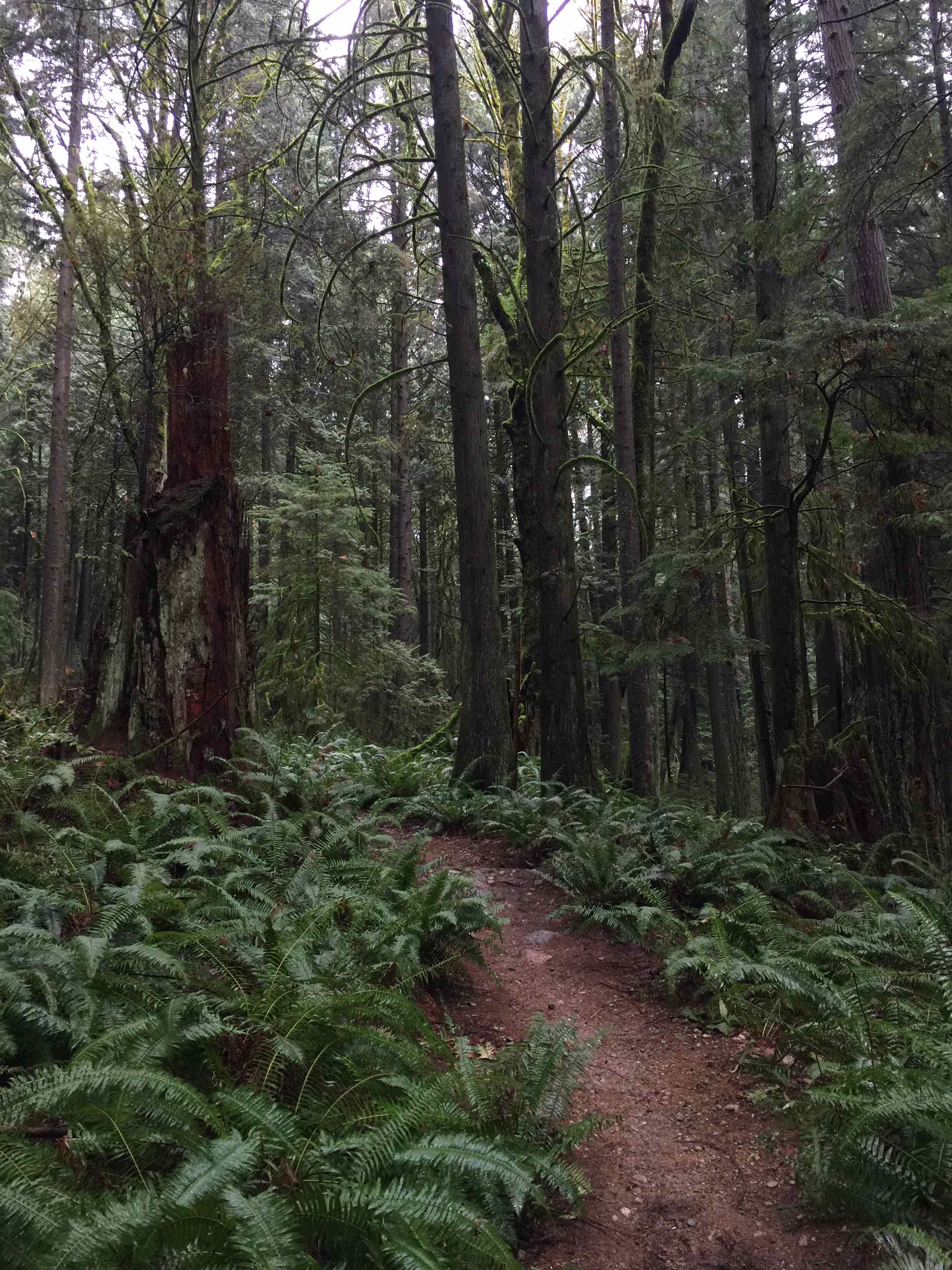
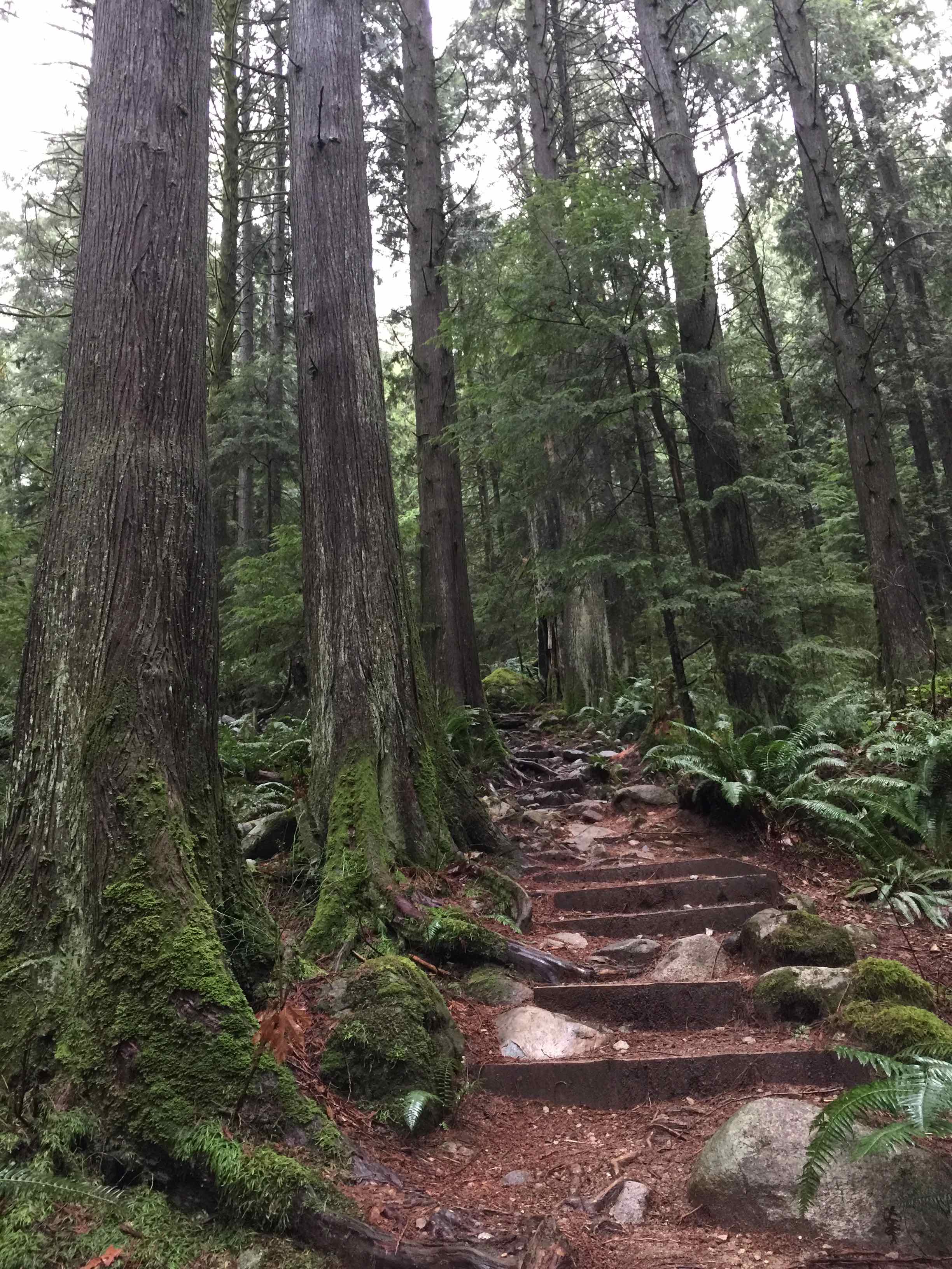
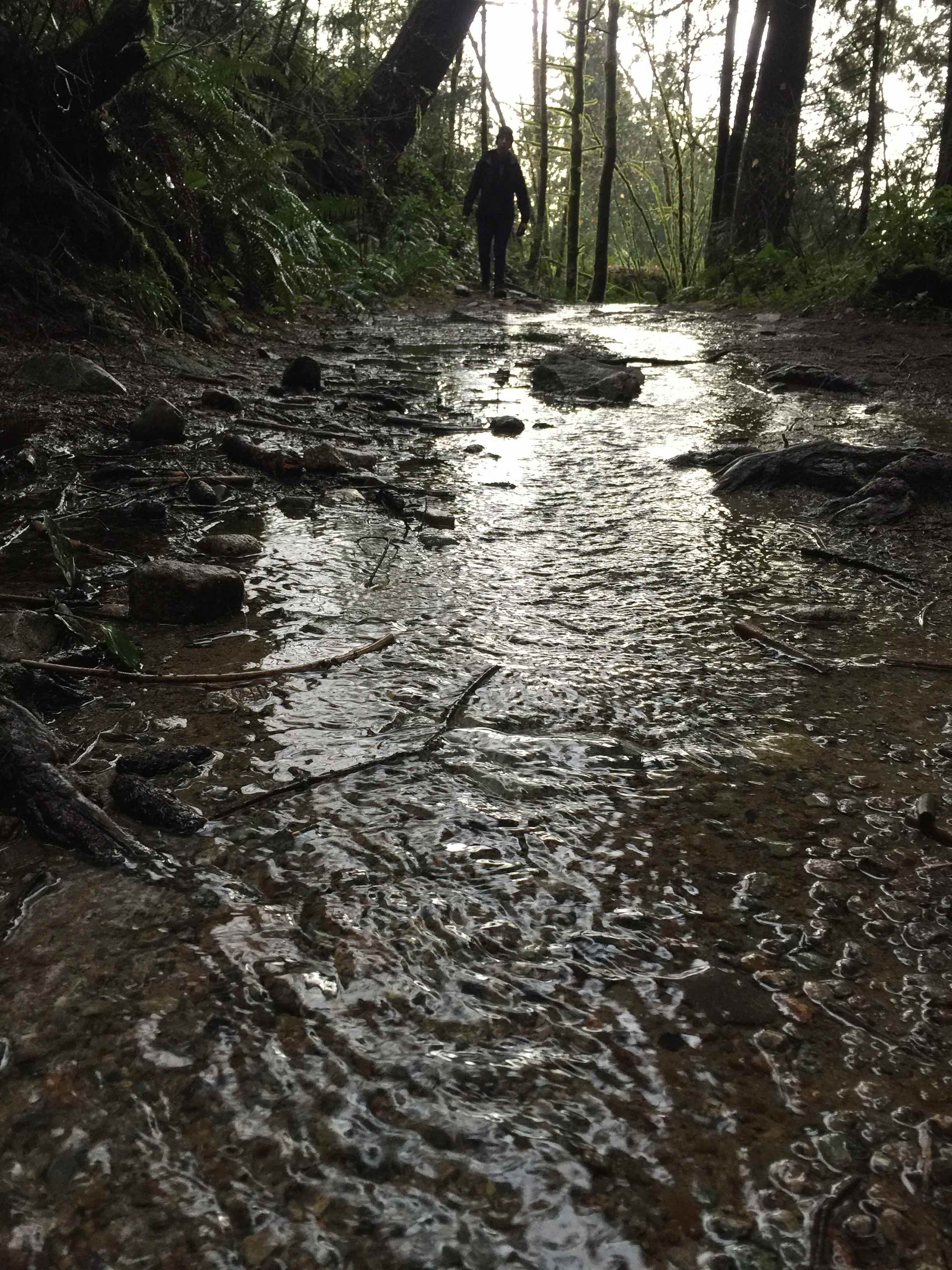
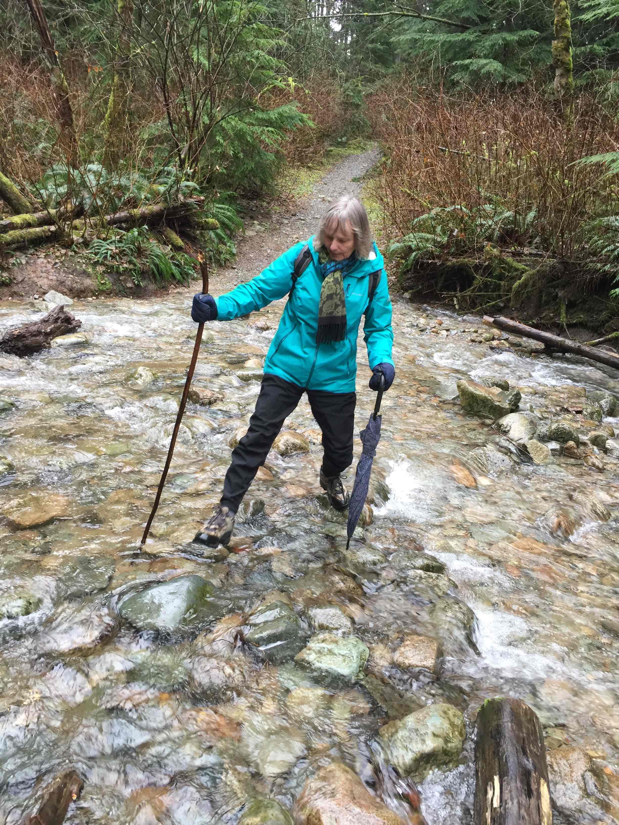
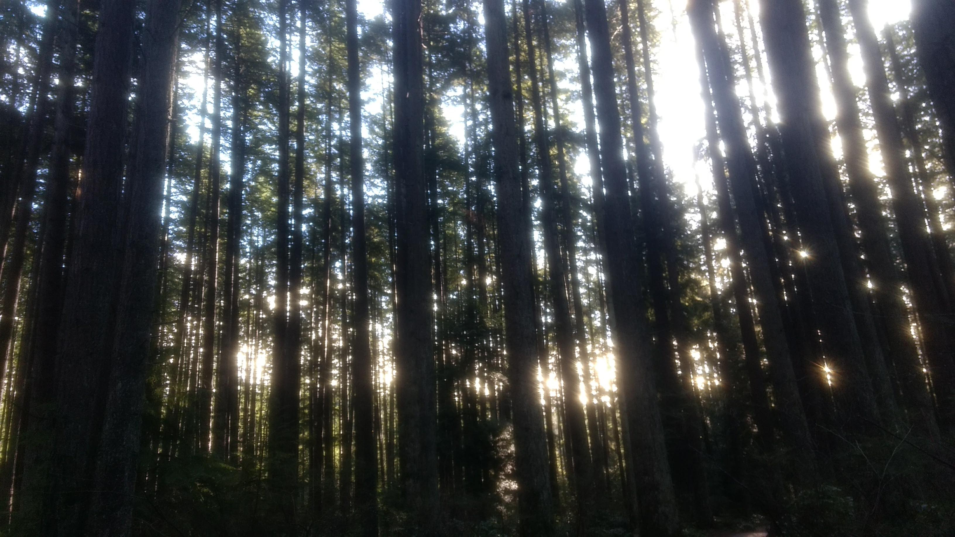
Our first 2021 Looper walk was through the closest forest we could find: the trails along the lower slopes of Mount Seymour. To simplify matters, we left a second car at the end point, then set out walking: up Old Buck, followed by a left turn at Bridle Path. Heading in a generally westerly direction, we forded several streams en route (looks like “water” might be this year’s Looper theme as well). After approximately two hours (8 km) of walking, we concluded our outing with coffees (and a treat), basking in the unexpected sun.