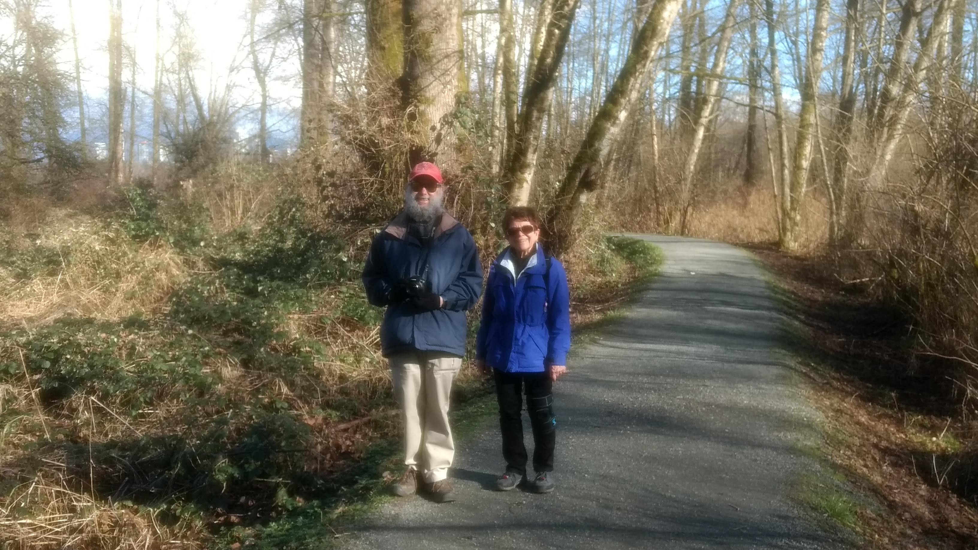
Two days before our February Looper walk, Dr. Bonnie Henry announced that the orders which have restricted daily life and socialization in B.C. were going to stay in place indefinitely. “We need to protect the progress we have made,” she stated; which, translated into Looperese, meant that this month’s walk was to be another example of Loopers Looping Together, Apart.
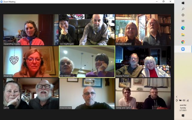
It seems, in fact, that this February’s walks set what is possibly a new numbers record: more than 26 Loopers and their confrères walked “Together-Apart”, in 13 separate expeditions, in parks and on shorelines scattered all over the Lower Mainland, ranging from the North Shore to south Surrey, and from the Vedder River in the east, to the Ladner dikes in the west. Later that day, many of us gathered virtually, via Zoom, to share our stories (see above). Here, in approximately random order, are illustrated accounts of our outings. Karina starts off, since she has Special News to share!
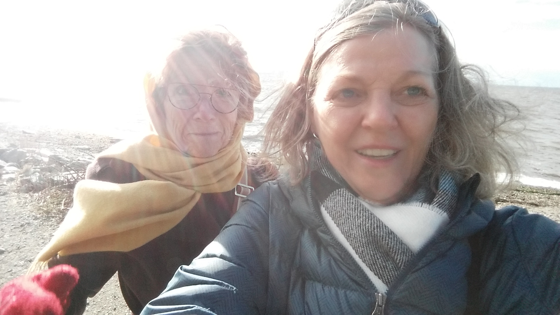
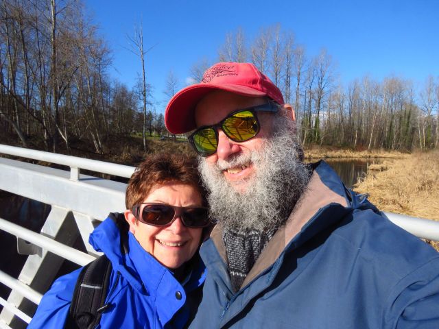
Karina and Elizabeth perambulate in Crescent Beach
Elizabeth and I decided to walk around Crescent Beach today. It was very busy on such a beautiful sunny day with many people walking with their children and dogs. We had a very leisurely walk which ended with coffee and a cinnamon bun at the Crescent Coffee House.
I shared some exciting news with everyone at the after party Zoom call. I’m moving to the Netherlands to be with my partner Jos. Many of you will have heard me talking about him and our visits back and forth for the past 5 1/2 years. I will be moving to Moergestel which is a small town between Tilburg and Eindhoven. My house is sold and I’m in the process of selling all my furniture. If all goes well (pandemic allowing), I will be leaving in mid-April. I’ll participate in the Loopers walk until I leave and then will share pictures of our walks in the Netherlands.
Thank you all for your friendship as we’ve walked together (or apart) for the past several years. I look forward to keeping in touch and you are all welcome to come for a visit. My email: Kboenders <at> hotmail.com.
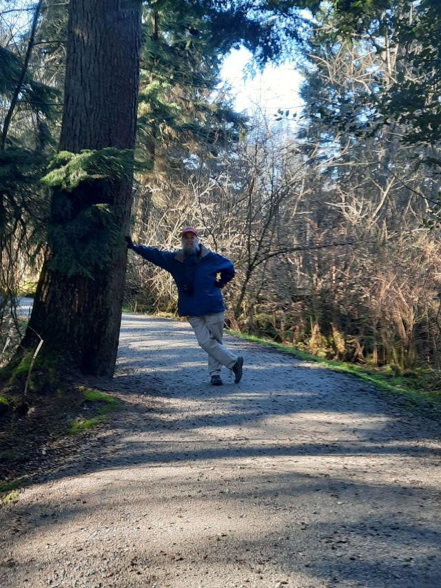
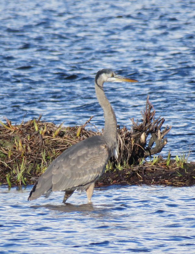
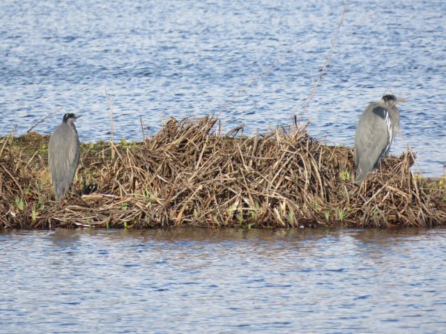
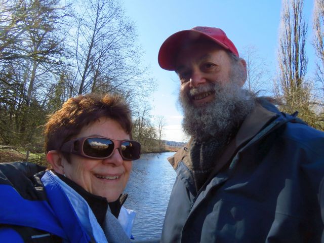
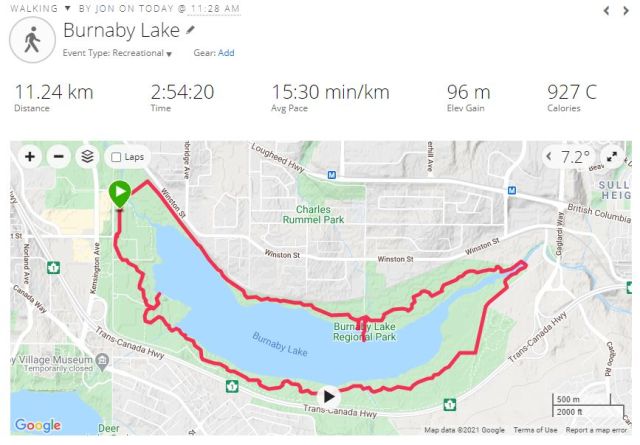
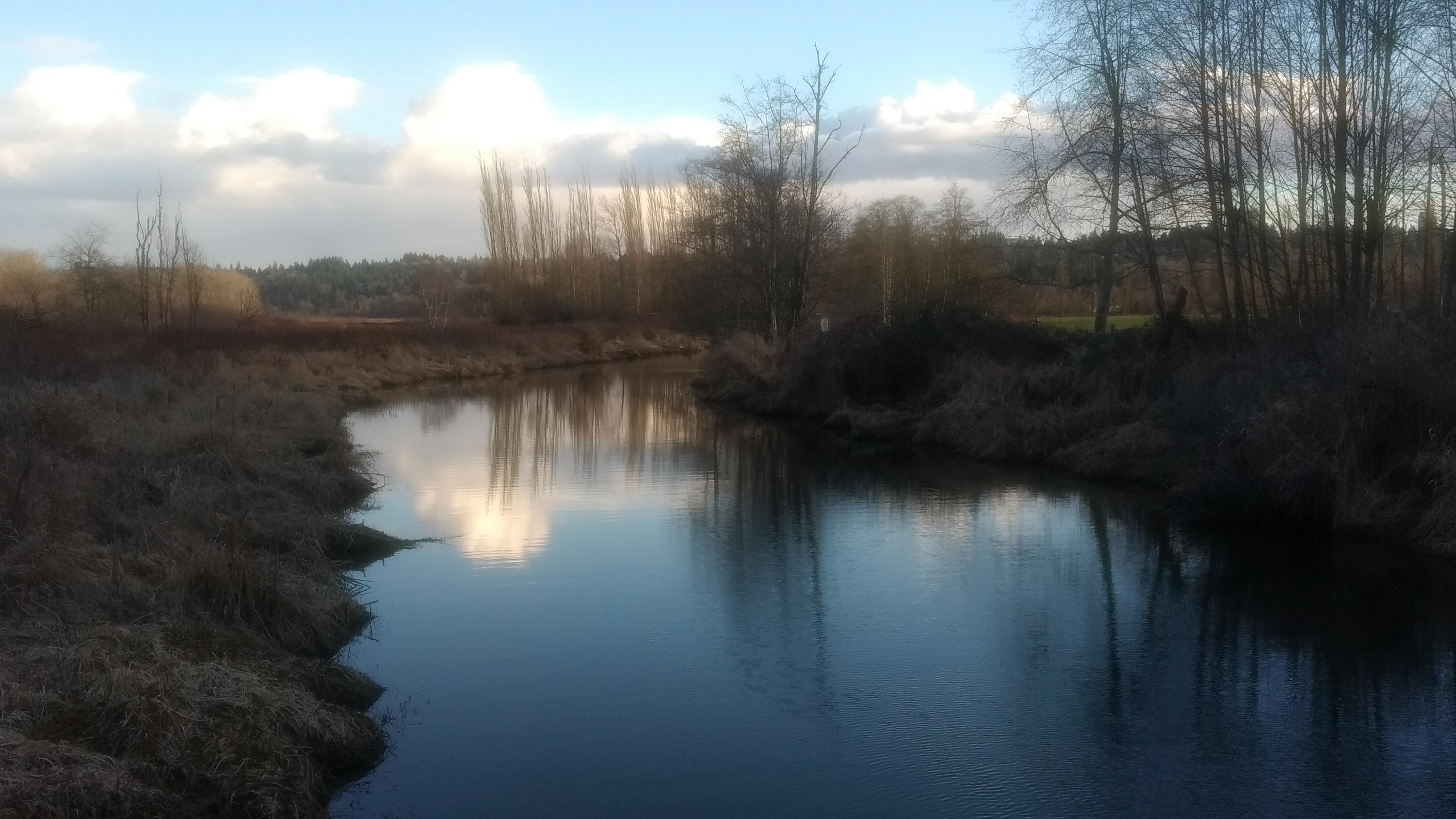
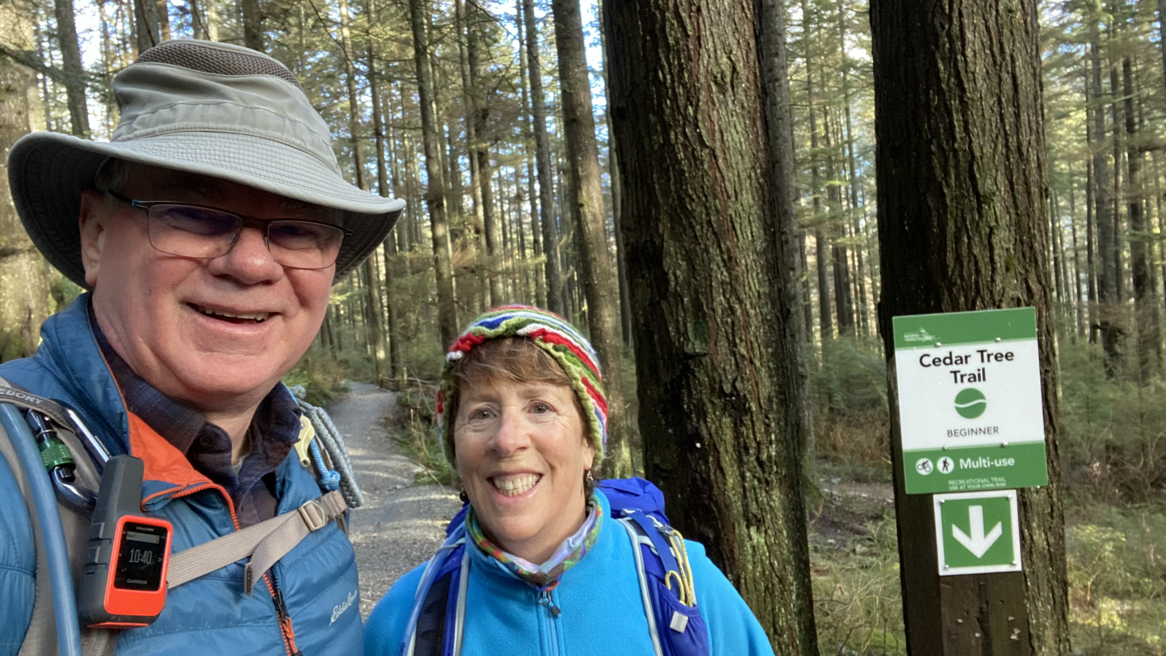
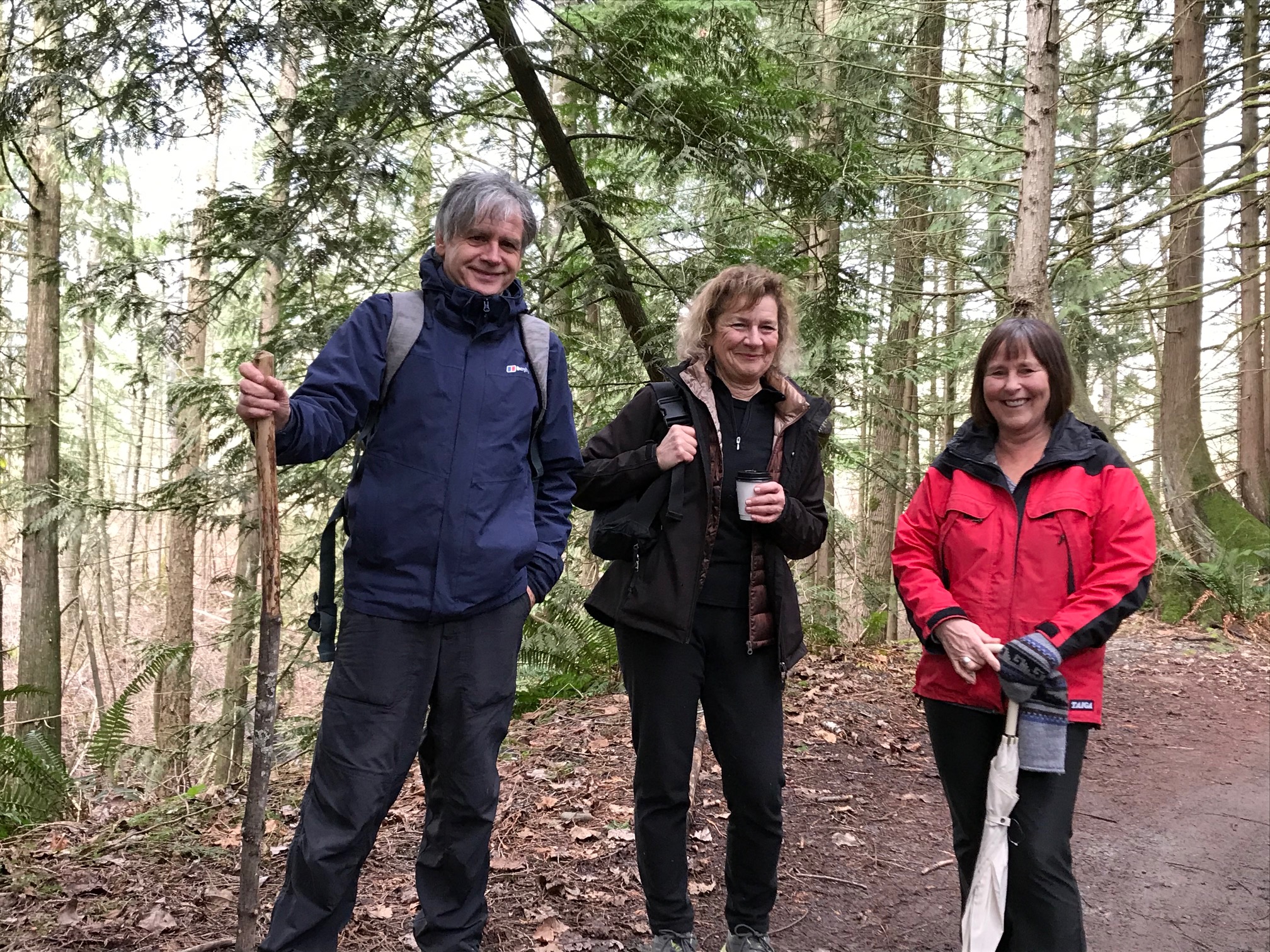
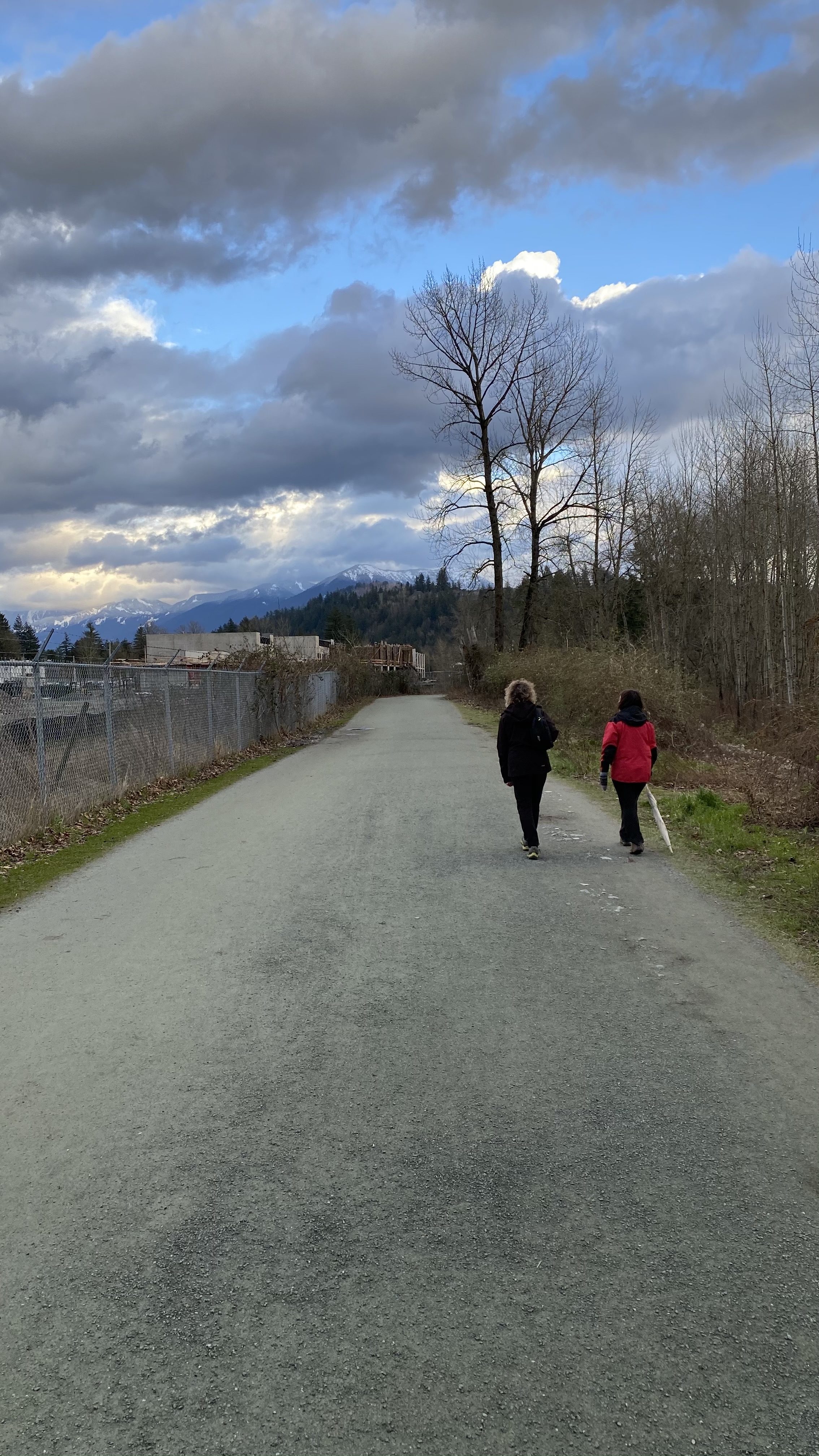
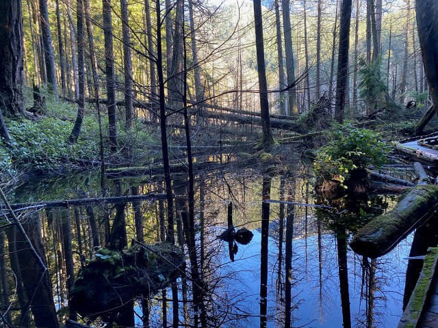
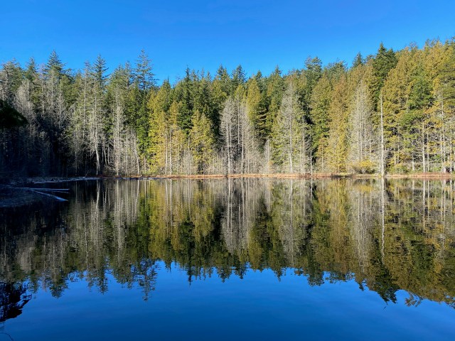
Jon and Liz circumnavigate Burnaby Lake
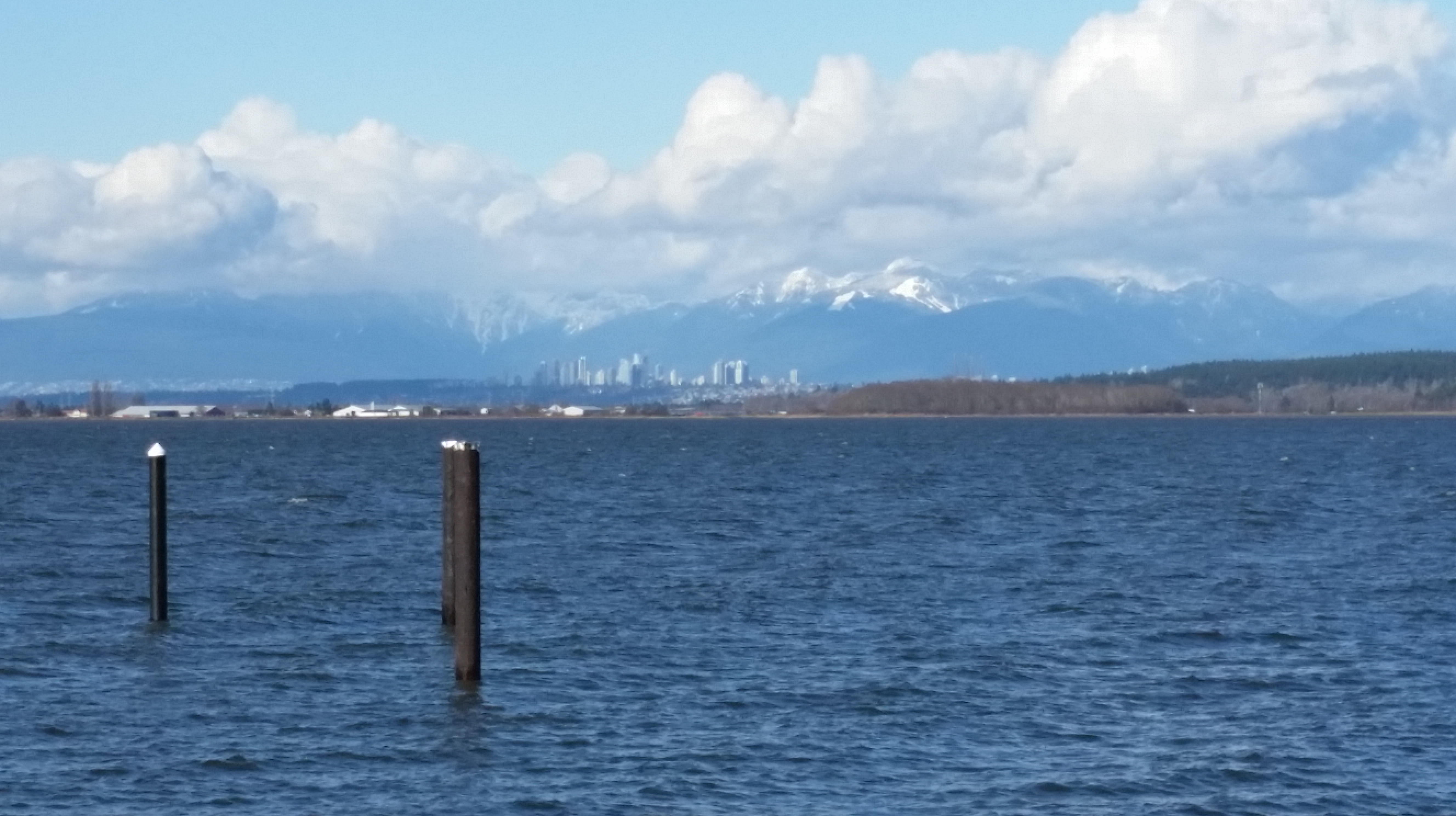
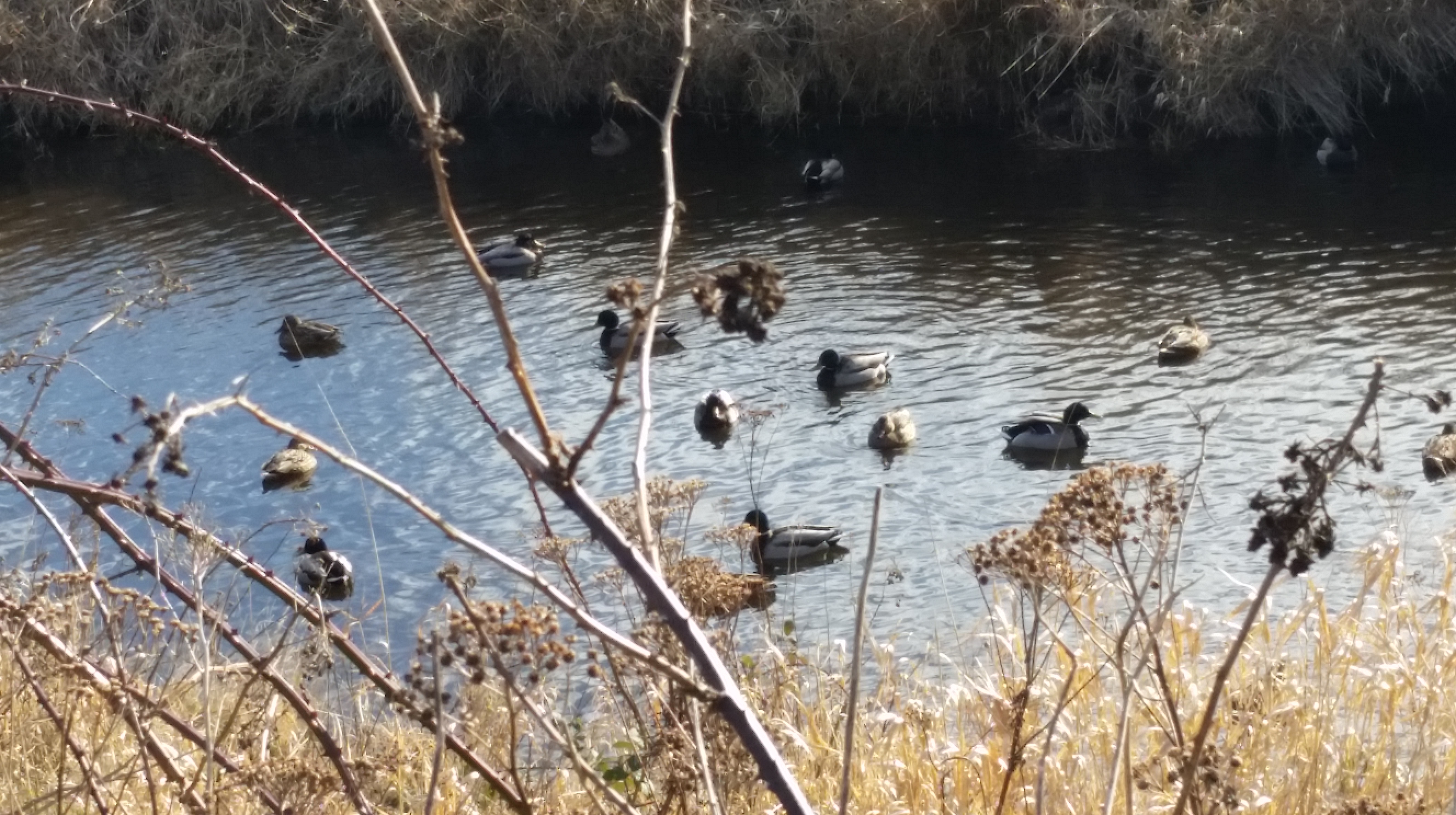
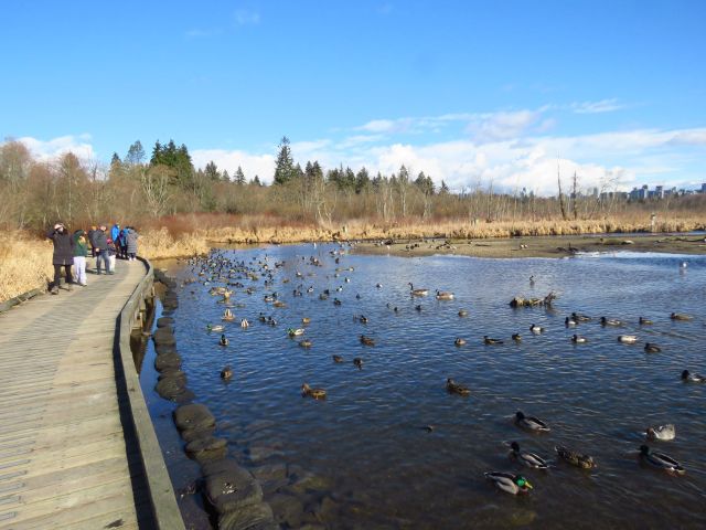
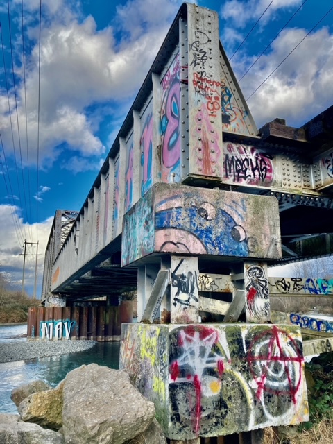
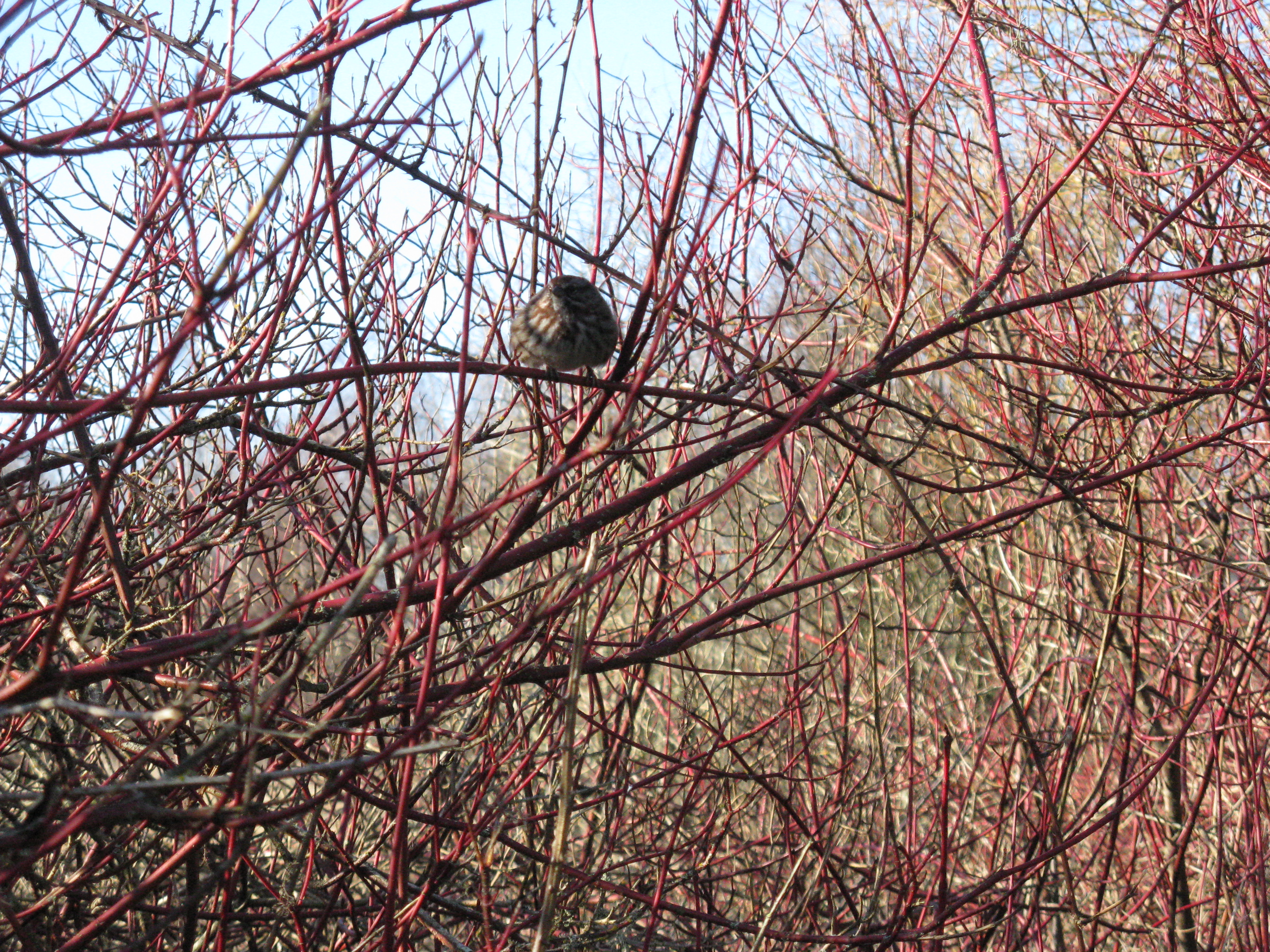
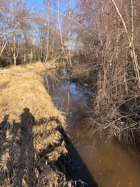
Liz and I decided to do the walk around Burnaby Lake today. We were amused on our drive over when we had to stop near QE Park to allow a flock of Canada geese to saunter across the road. We parked at the sport complex to the west of the lake and then headed north and east, pausing at the bridge over Still Creek for our starting selfie. They are doing a lot of work on the railway line just north of the park so it is much more open on that side than I remember from previous visits. Once we reached Piper Spit we stopped to see if we could spot the Harlequin duck that was rumoured to be around there. Many other duck varieties were on display, including a Mandarin duck, but no Harlequin.
Pressing on, we stopped for a mid-point selfie on the Cariboo dam at the east end of the lake before heading west down the south side. The south side was a little less busy than the north, and a little more rustic. About 2/3 of the way along we ran into a fellow Looper, Janet Smith, who was headed the other way with some friends. This was the second month in a row our paths have crossed! Pressing on, we found a spot with good views across the lake and over to the north shore mountains. I finally spotted 3 herons on a small island in the lake, having despaired to that point at not seeing any – the day was saved!
After crossing the bridge over Deer Lake Brook at the west end of the lake we turned back north, past the rowing pavilion, to our starting point. It was a pleasant and satisfying 11km outing.
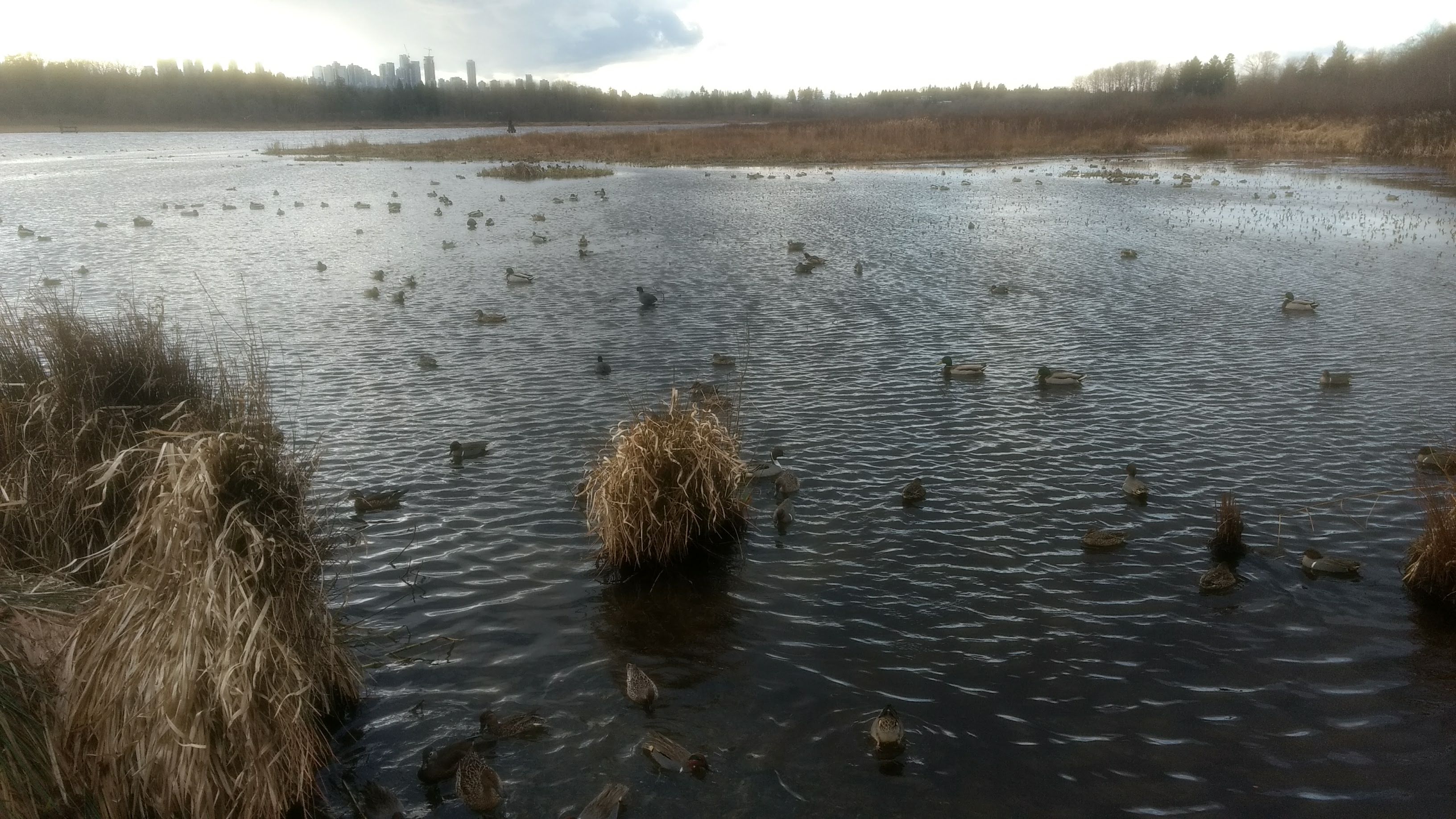
Janet S (and an unknown number of friends) at Burnaby Lake
I had a very pleasant walk around Burnaby Lake on Sunday. It was a beautiful day. Once again, I passed Jon and Liz on the walk! And I was very happy to see the colourful Mandarin duck swimming around (although I didn’t get a photo of it).
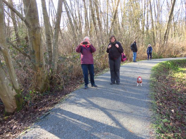
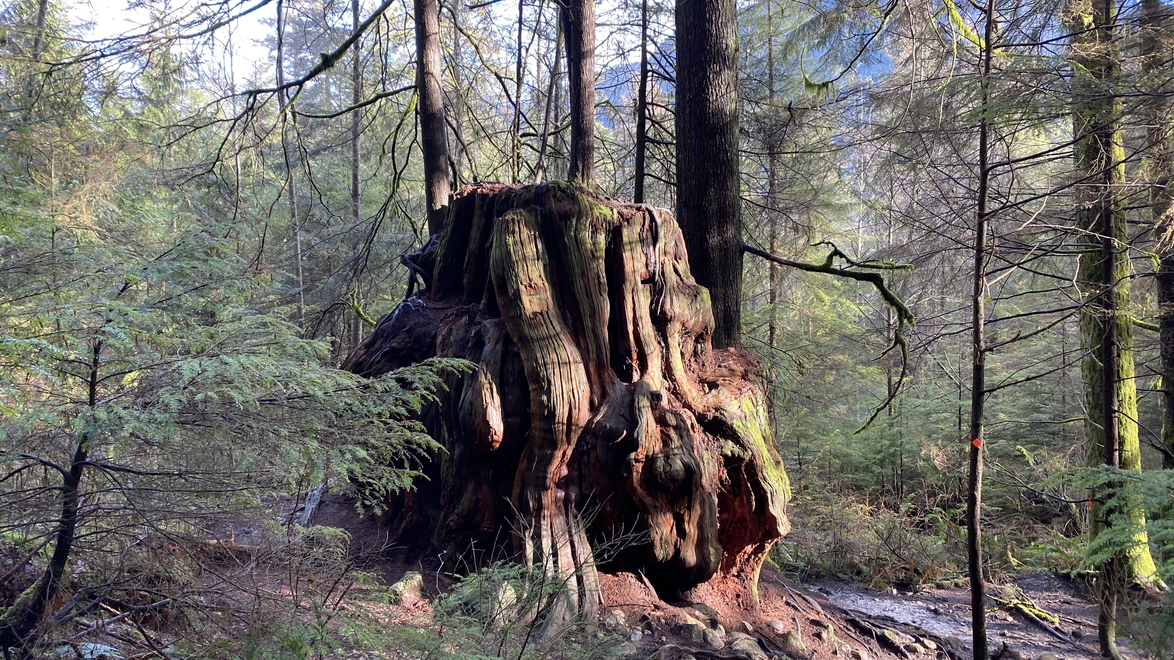
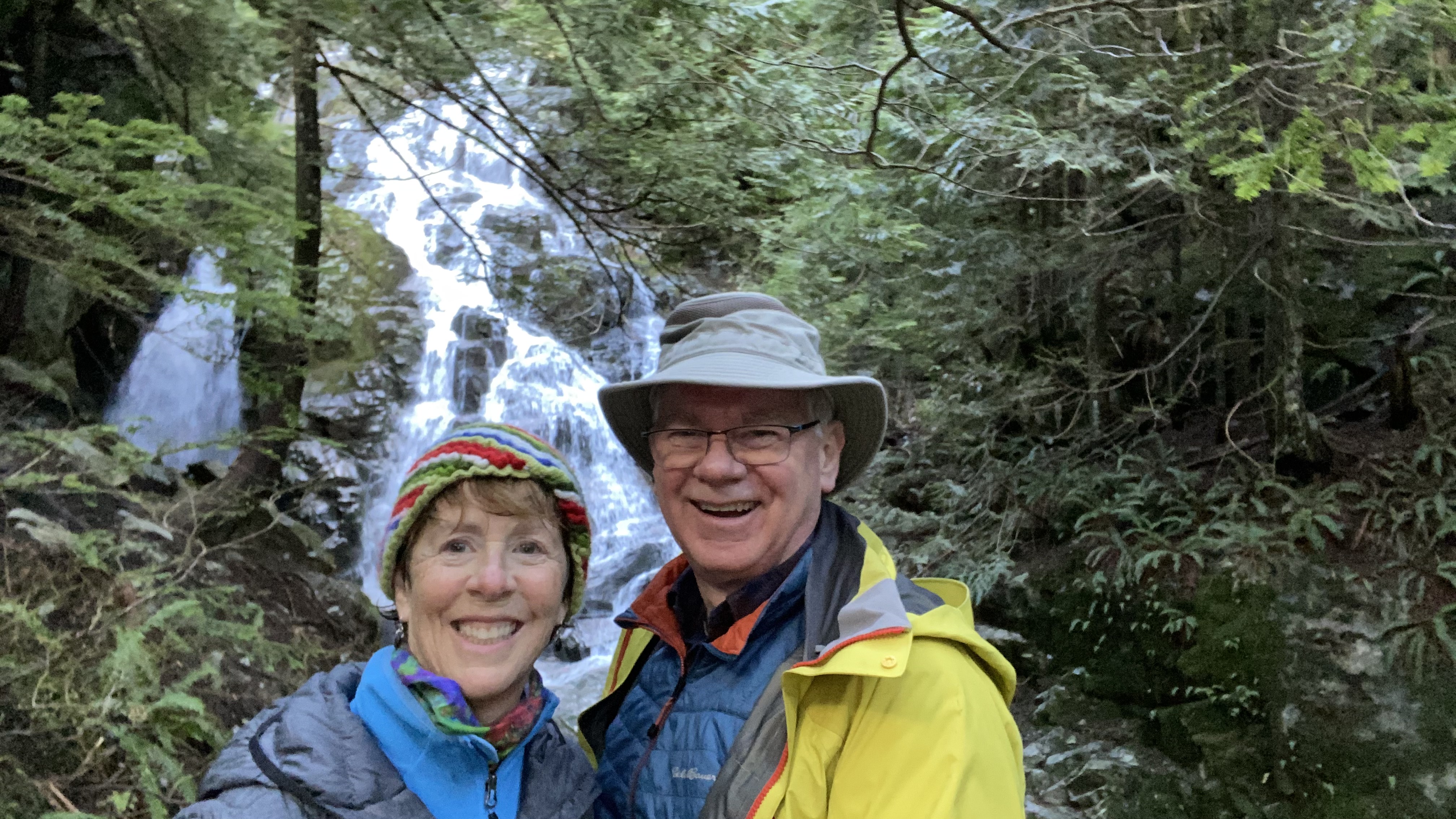
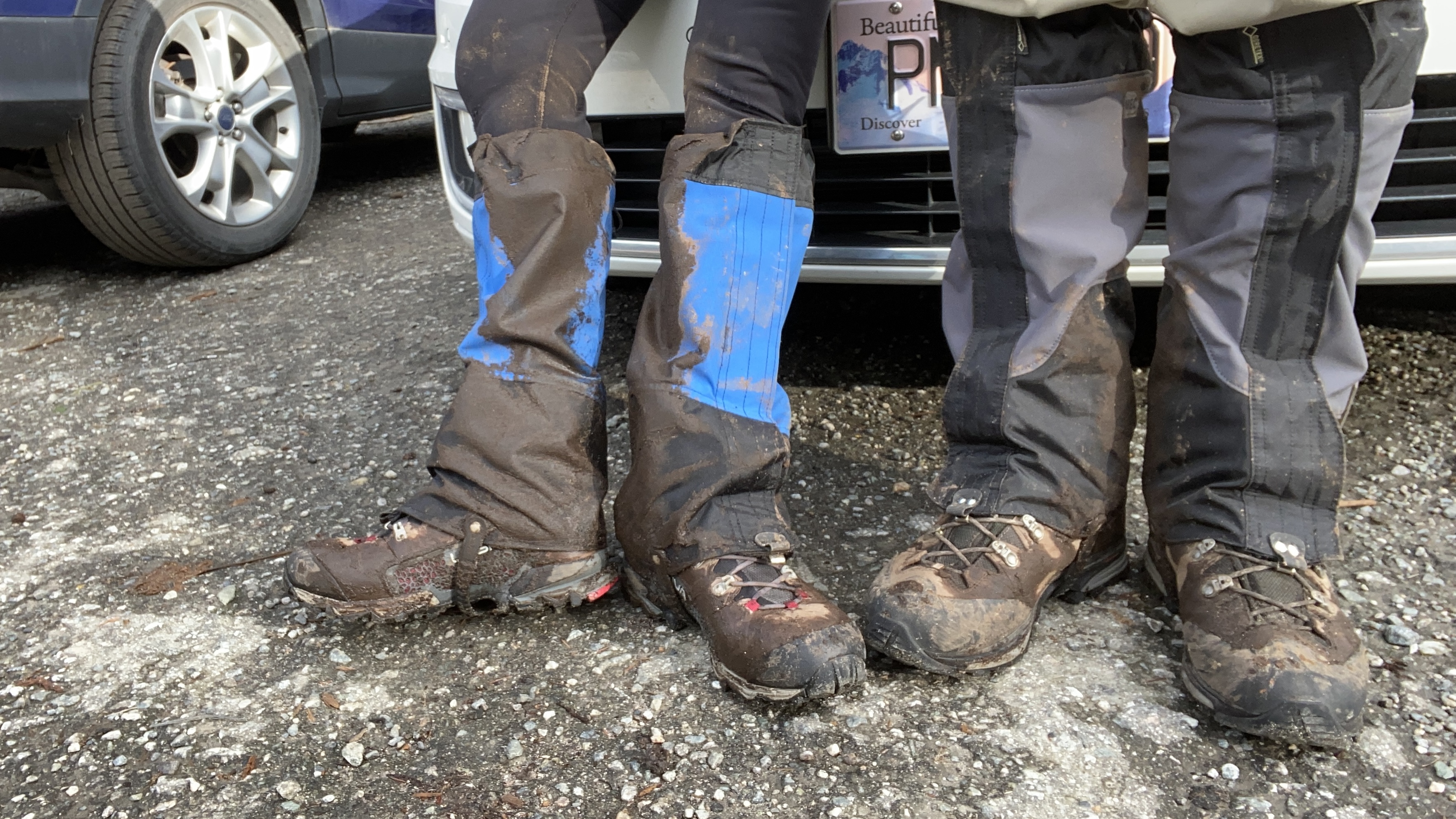
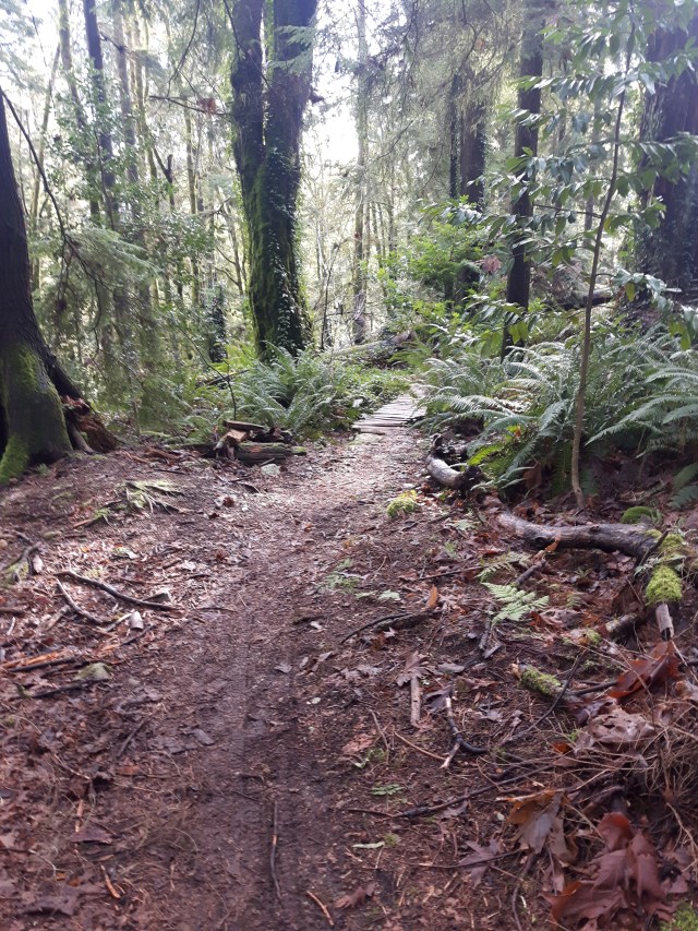
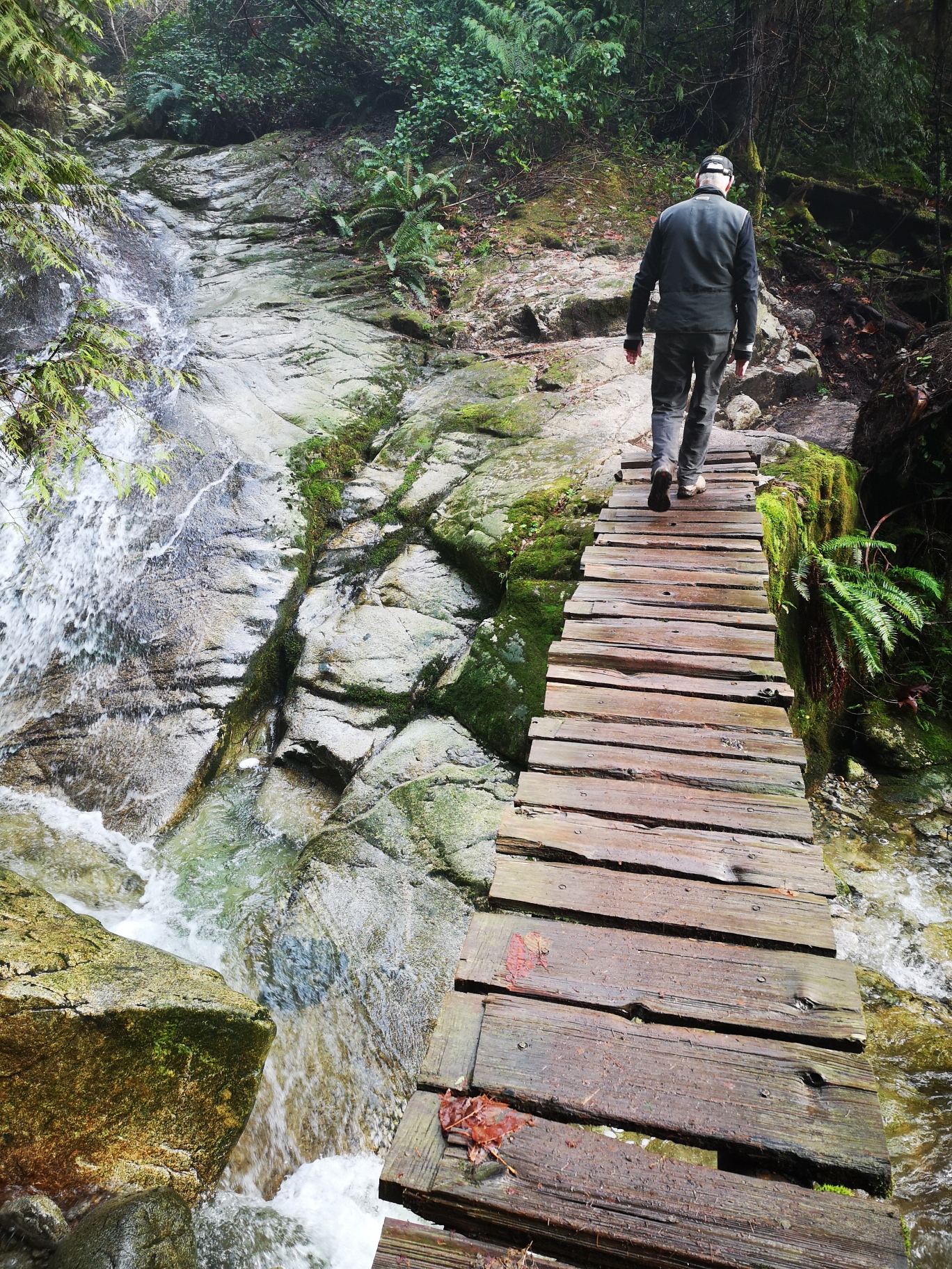
Bruce and Janet K conquer Kennedy Falls
Bruce and I chose Kennedy Falls for our Sunday adventure. Although it was a lovely sunny day we had been forewarned by a friend that the trail to Kennedy Falls was very muddy, so we prepared ourselves with our gaiters and off we went. The trail was muddy as expected and we picked our way to the Falls to try and minimize our muddiness, we were much less picky on our way out. This was Bruce’s first adventure to the falls which he enjoyed immensely, he was also the photographer for our hike.

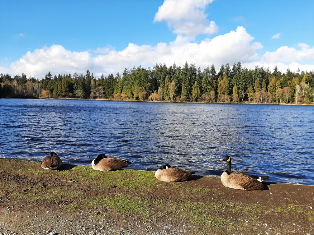
Carol and Sandy explore Stanley Park
We started at Sea Bus terminal and walked by the water to Stanley Park. We continued past Lost Lagoon, seeing geese that didn’t get the memo about flying south. They were basking and creating their own little Hawaii.
We continued on to Ceperley Meadow to see the bridge that Sandy made, and then re-made, after a tree fell in a windstorm and wiped out the first attempt.
Walking on to the West End we enjoyed a lovely hot drink at the end of our walk.

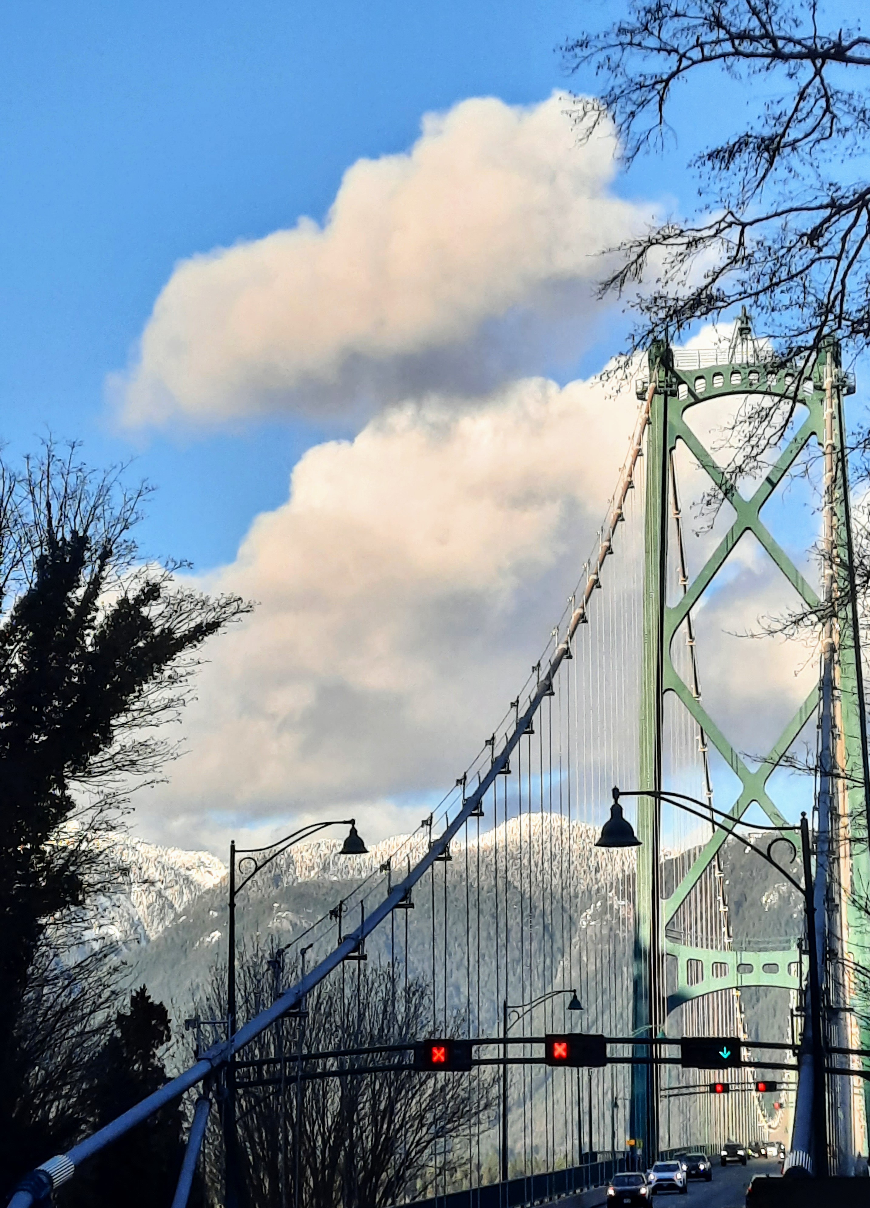
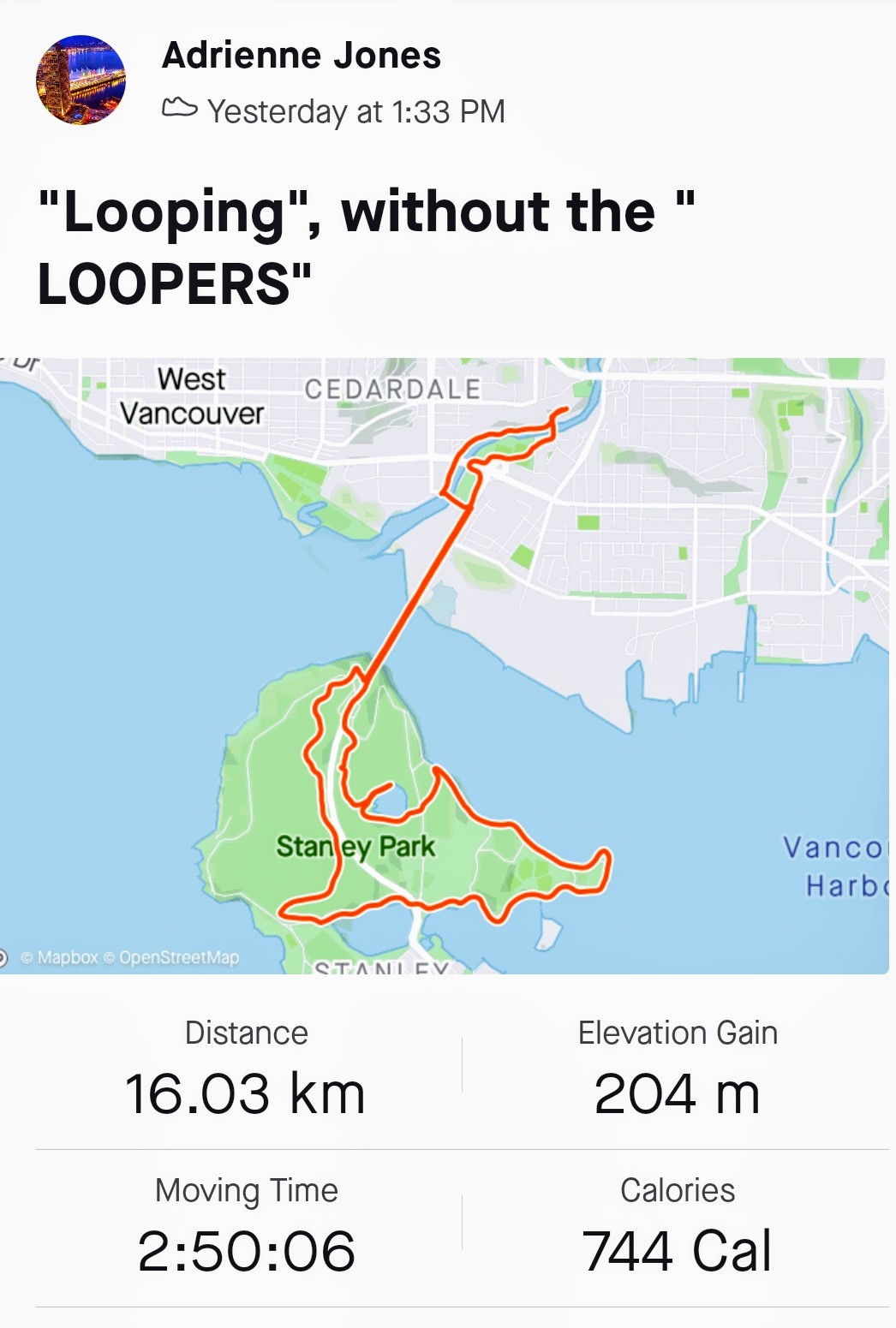
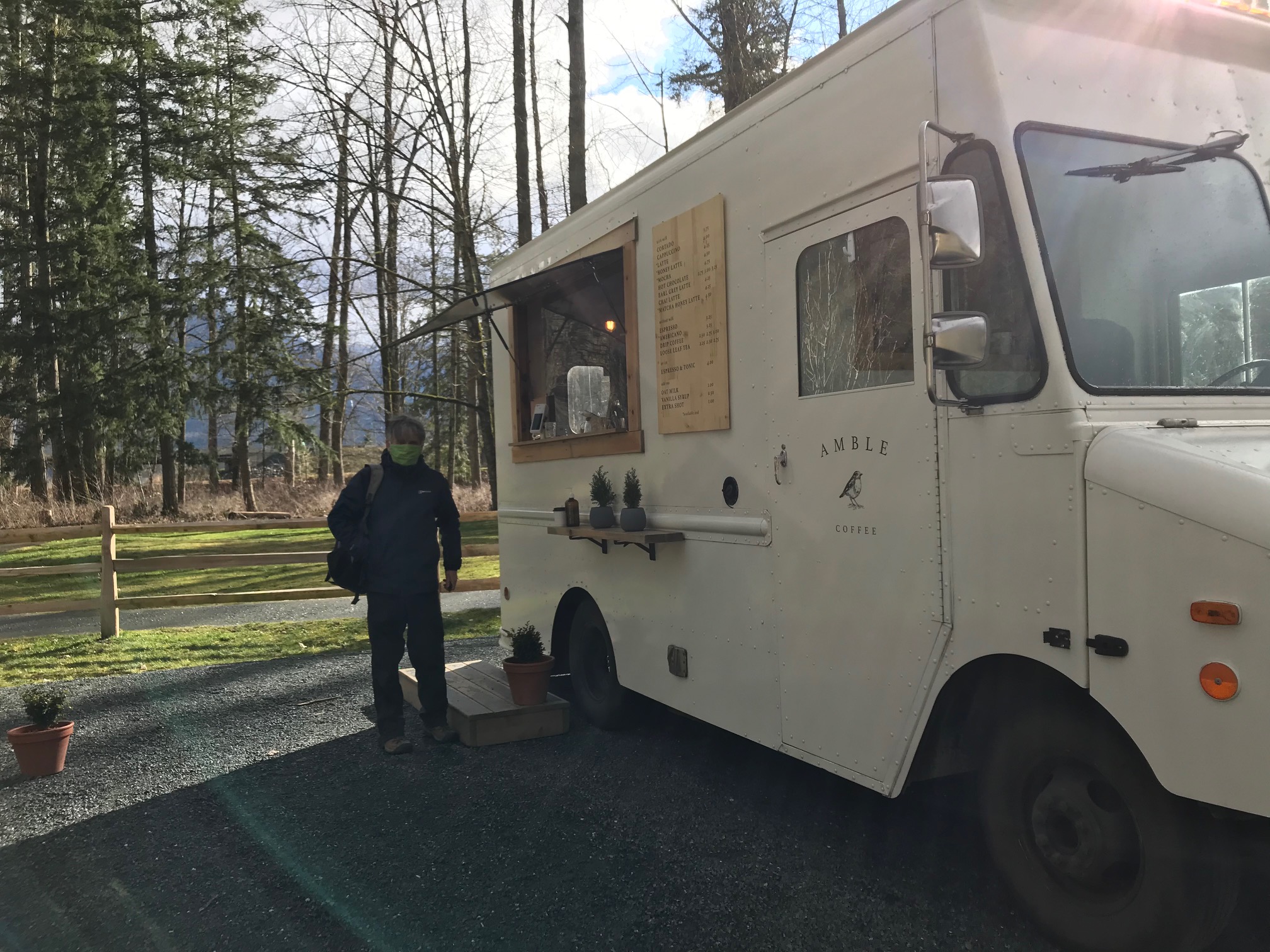
Adrienne walks to and through Stanley Park (and back)
Sorry I missed the late afternoon zoom call, but I was still out looping, not having left home until early afternoon…
I will not complain about mud this time, but only the wind gusts! Felt like I was going to get blown off Lions Gate bridge! So… a 16KM LOOP, down the Cap Pacific trail to the south, over the bridge to Prospect Point, then down Bridal trail through a lovely forest, and eventually to Lost Lagoon. At that point went around the seawall to the east, eventually climbing up a trail to Beaver Lake where I thought it would be less windy, and still have some late afternoon sun! (there is some trail maintenance going on there so unless you are a rule breaker, you cannot do the full circuit around). There were many rule breakers…
The North Creek wooded trail led out from Beaver Lake to the causeway, and over the bridge on the east side, and back to the North Shore. Yes, MORE wind, but at least NO COYOTE NIPPING incidents in Stanley Park! A nice walk!

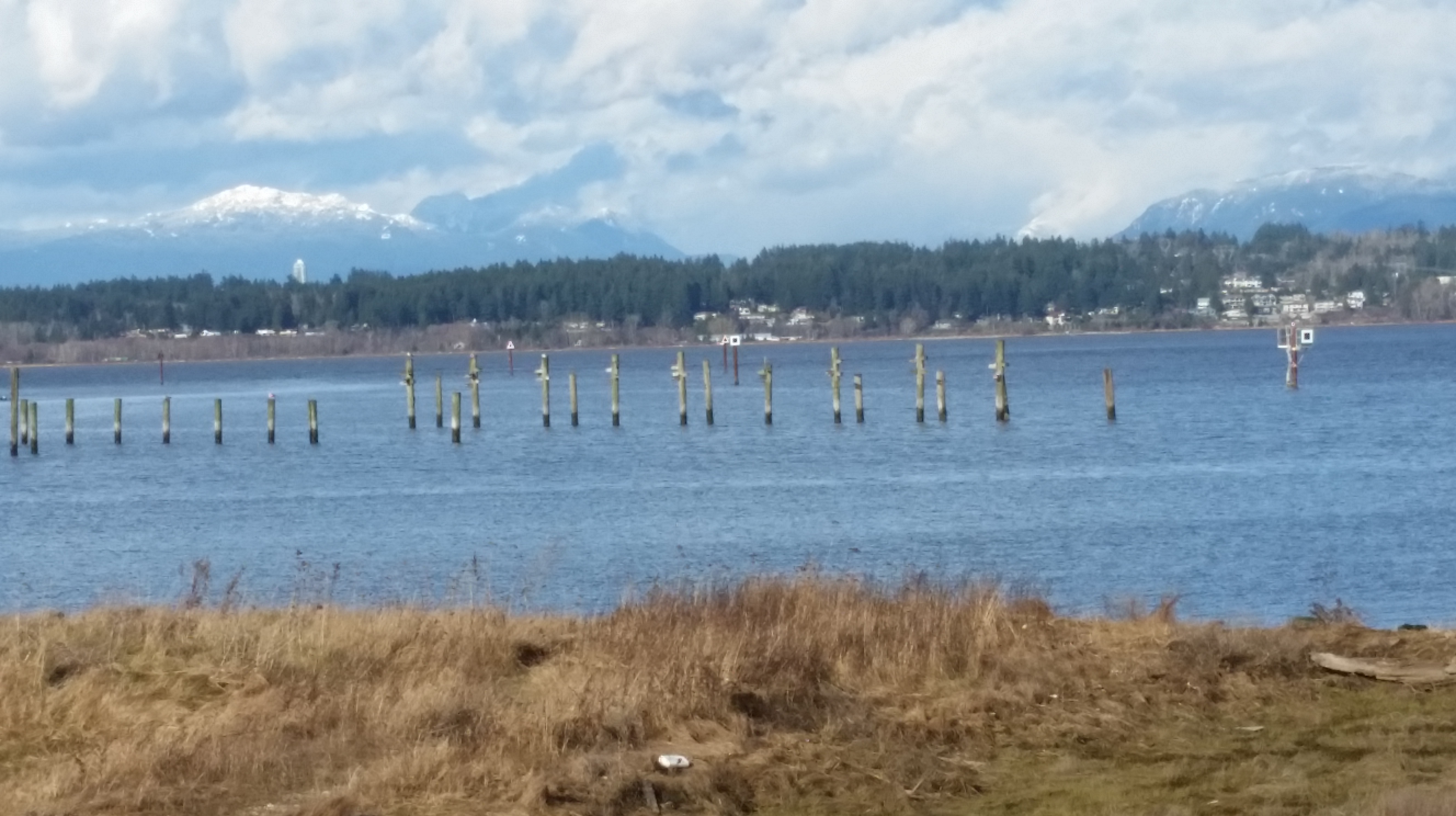
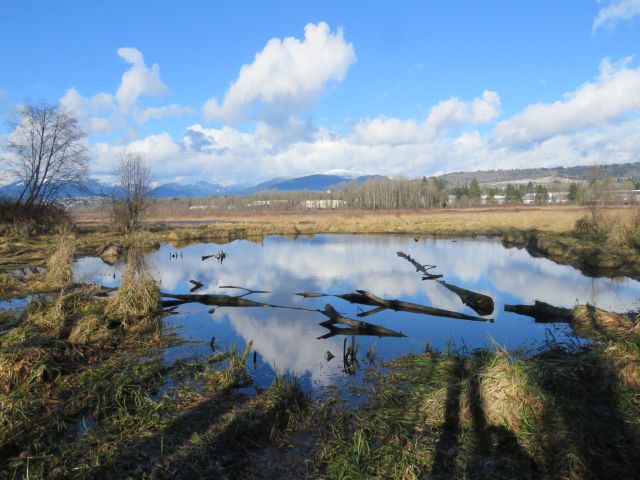
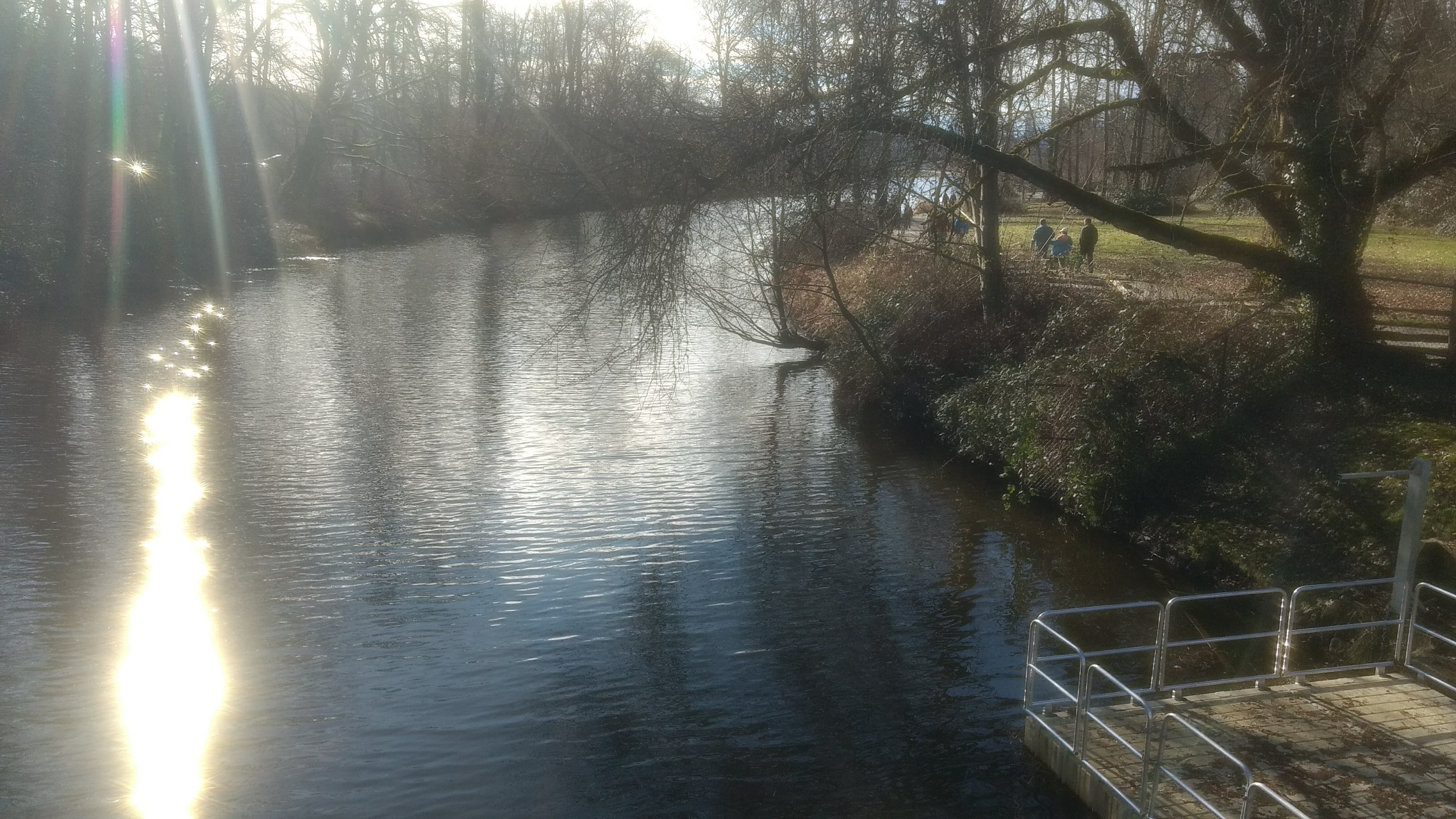
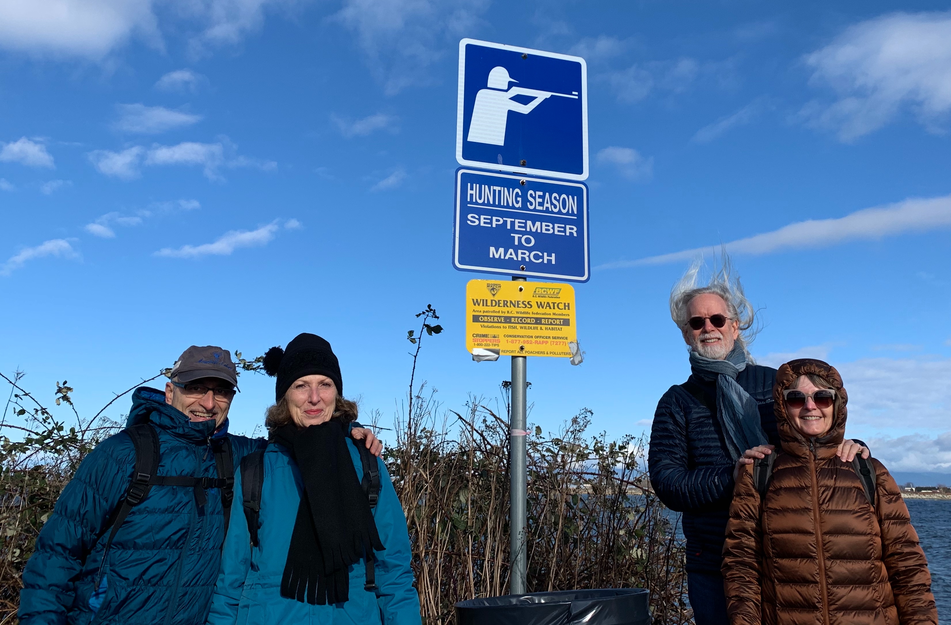
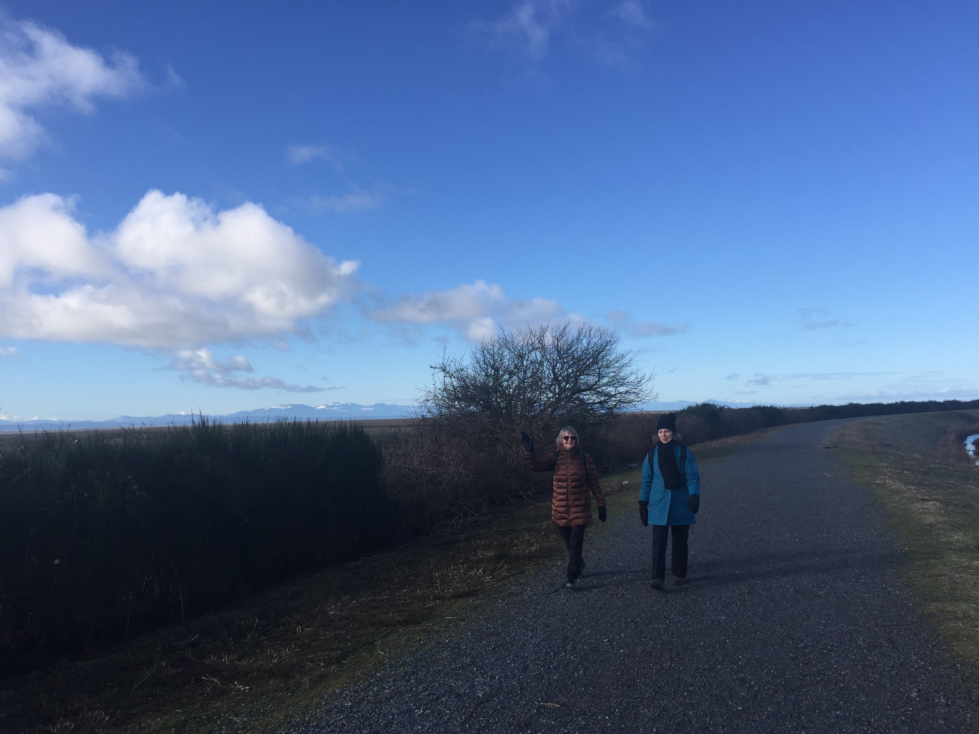
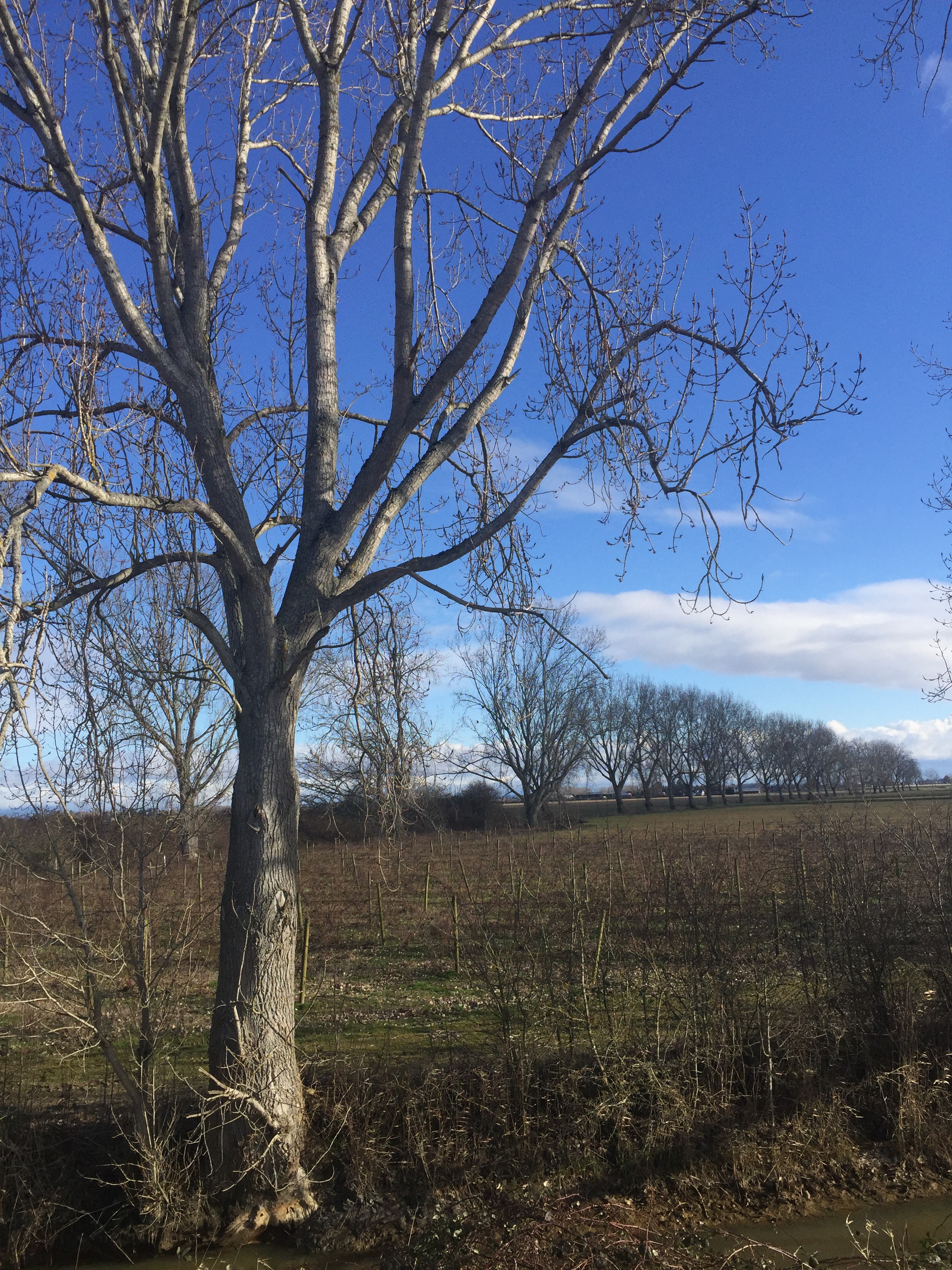
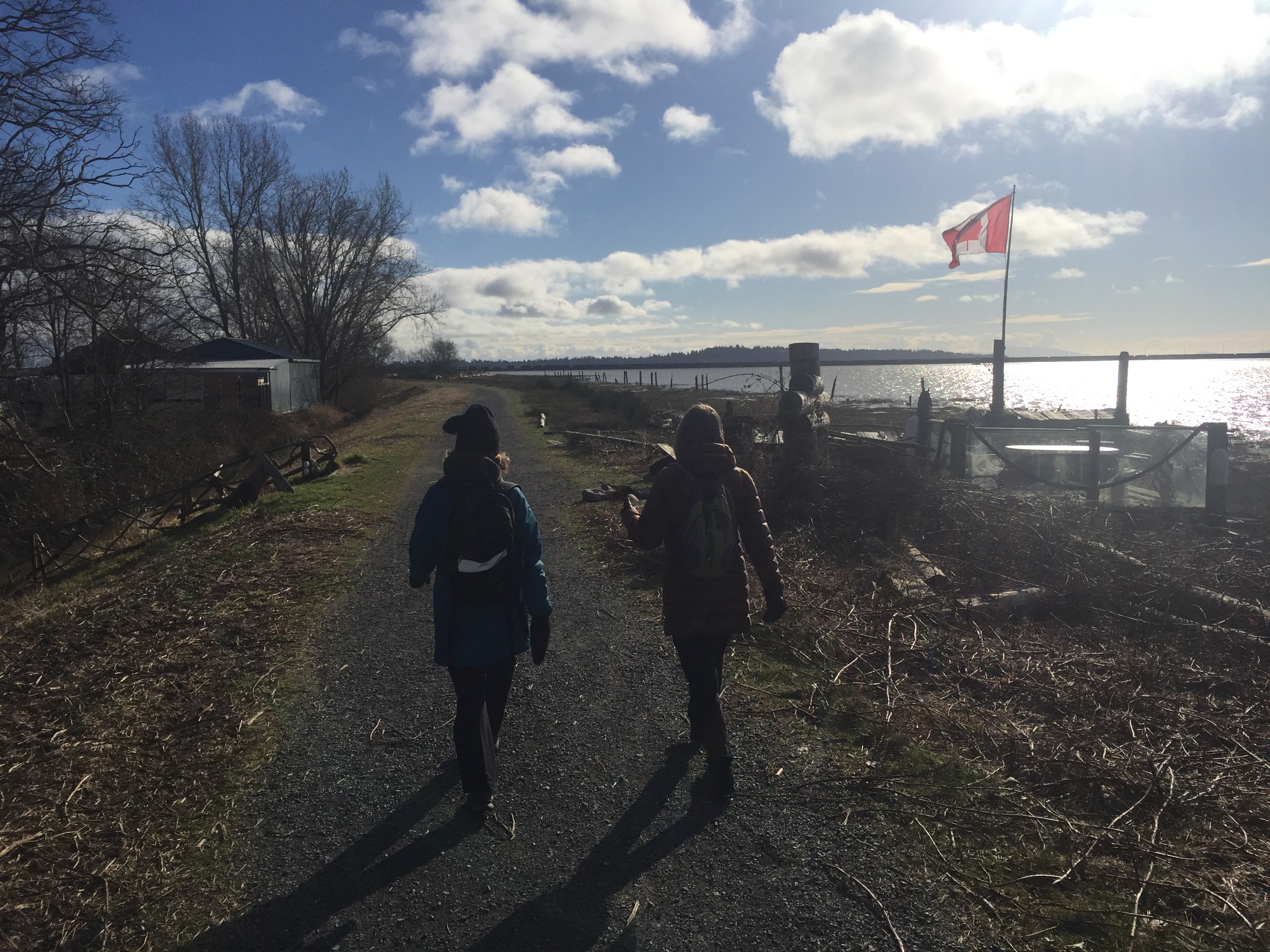
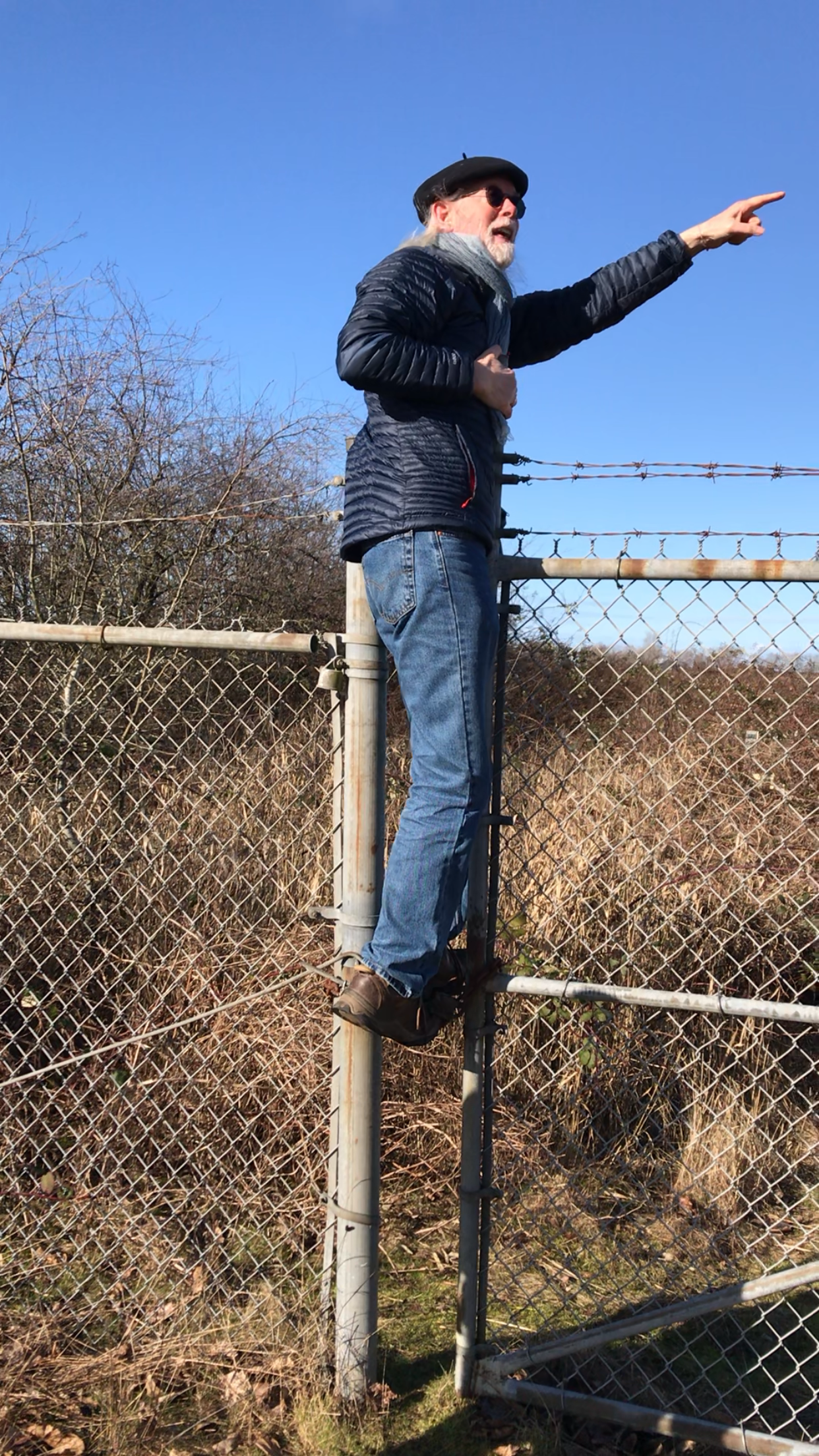
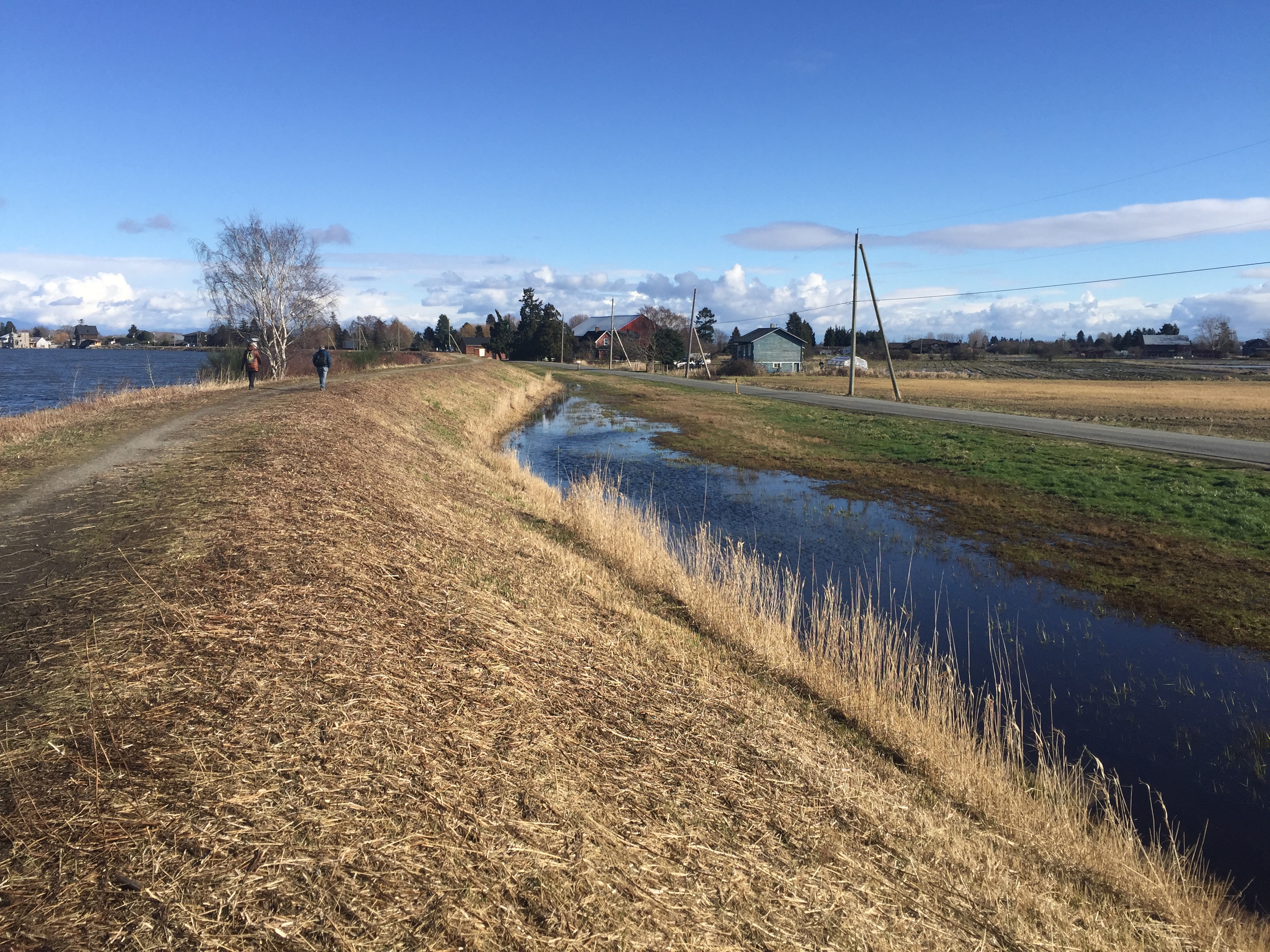
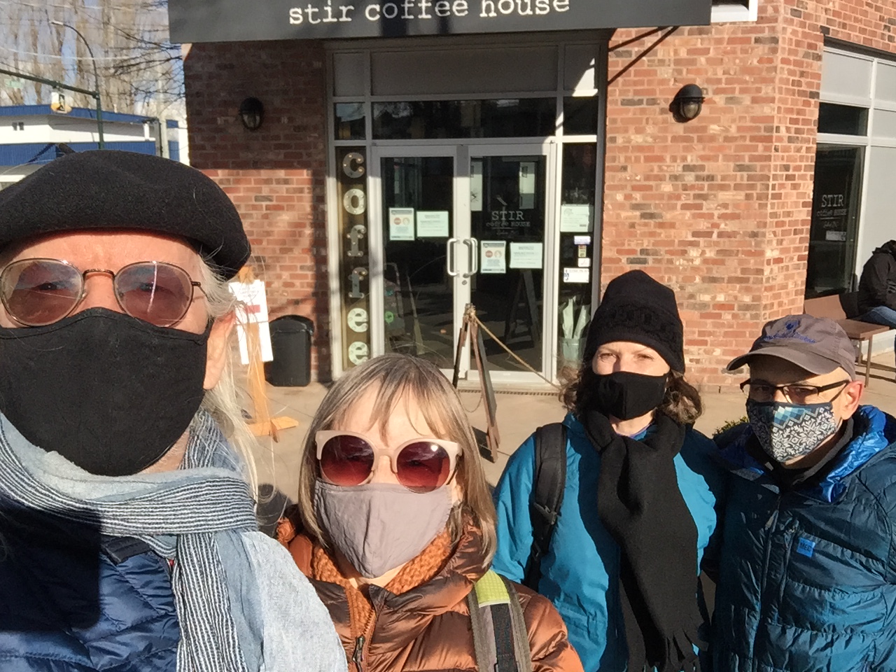
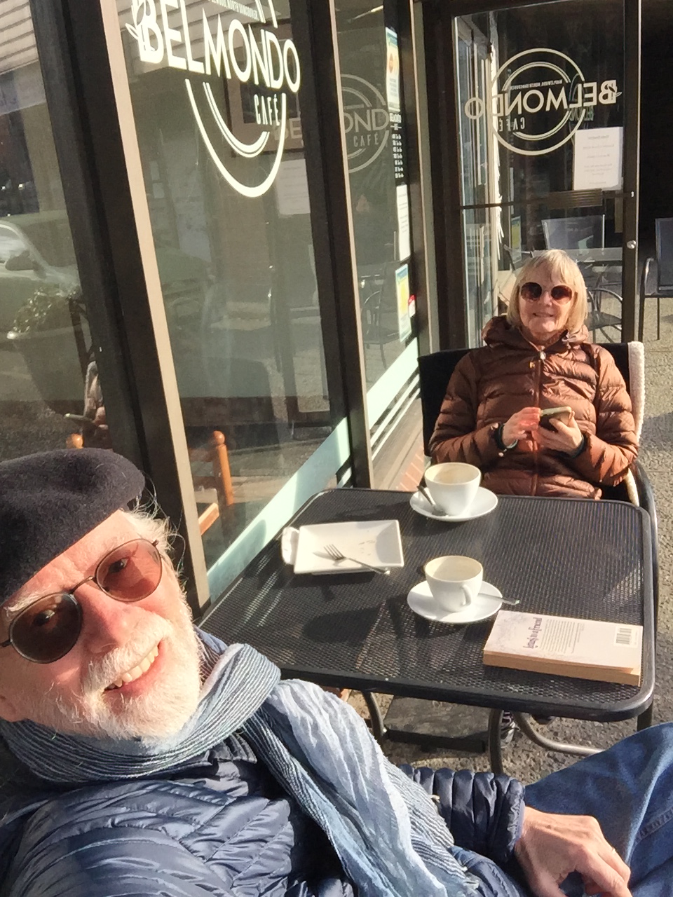
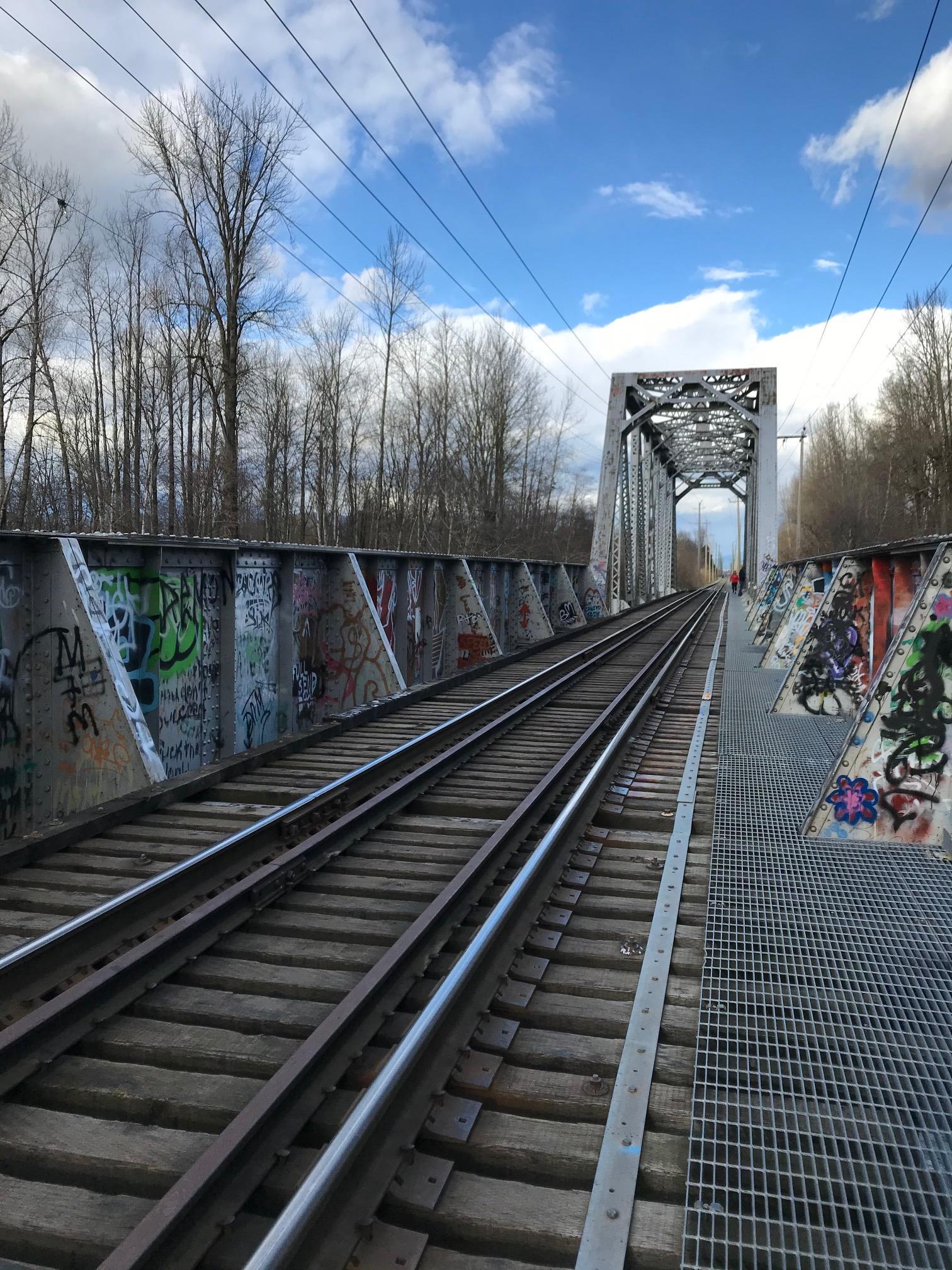
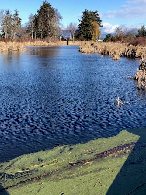
Joette and Fred and Michael and Jean on the Ladner dikes
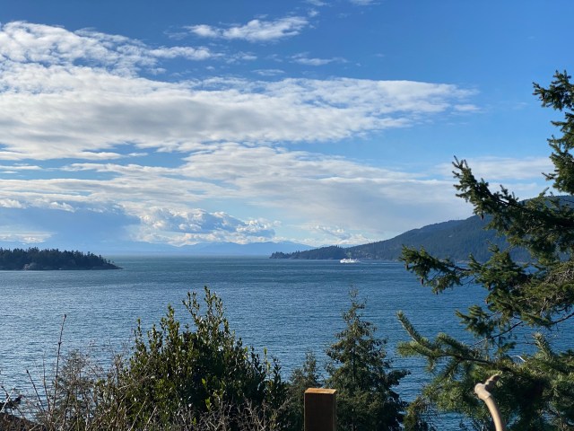
Our destination this time was a Fred suggestion: the Brunswick Point Trail in Ladner, a trail that starts just west of Ladner village, and continues towards Tsawwassen along the dikes. Vintage Loopers may recall that we walked along this stretch of trail as part of our “Horseshoe Bay to the USA” series of walks, in August of 2015; accounts of our earlier walks along that section can be found here and here.
Parking at our meeting point was limited (two short stretches along one side of a dead-end road), which may explain the fact that the trail was relatively uncrowded, on a beautiful sunny and blue-sky day. Another plus: brisk winds blowing in from the Strait of Georgia guaranteed a steady supply of unsullied air. There was also a steady supply of eagles, soaring above or perched in trees along the dike, as well as flocks of other, unidentifiable birds just offshore.
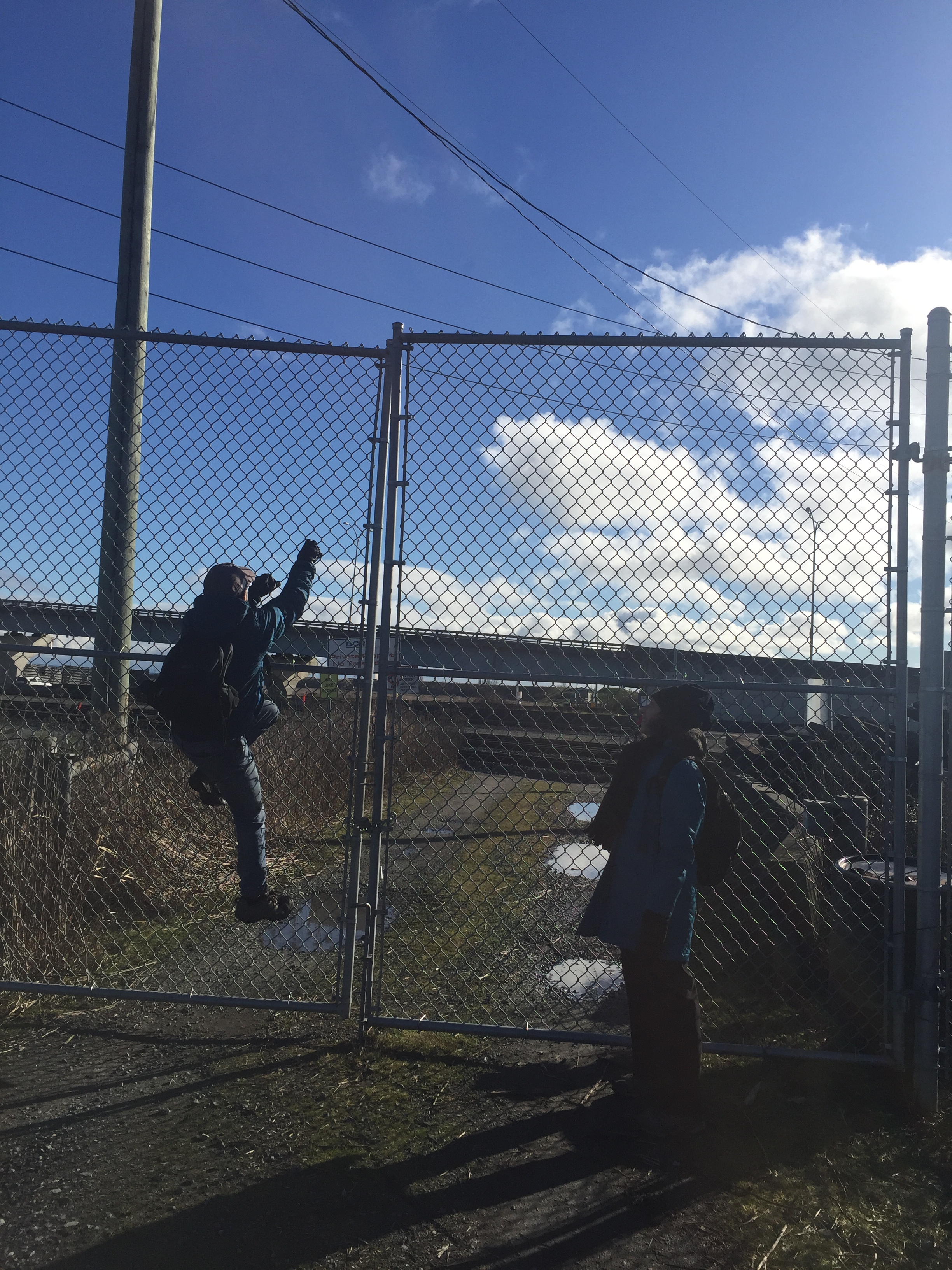
The walk was an “out and back”, with our turnaround point being a chain-link fence, and locked gate, which blocked the path just north of the railway tracks that serve freight trains heading to and from the Roberts Bank Superport. Both Fred and Michael made valiant, but ultimately fruitless, attempts to overcome the barriers (we did, however, spot an intrepid cyclist carrying his bike across the tracks in the general direction of Tsawwassen, so in theory there is a way through). If the Loopers ever were to consider a repeat of the “Horseshoe Bay to to the USA” series of walks, we’d need to solve this puzzle.
To extend our outing we added a couple of km by walking from our parking spot towards Ladner Village and back. Total distance for the day was around 10 km. We considered a post-walk coffee together at a Ladner café’s outside tables, but were too chilled by the wind (Jean and Michael managed a coffee later, back in North Van, having warmed up on the homeward drive).

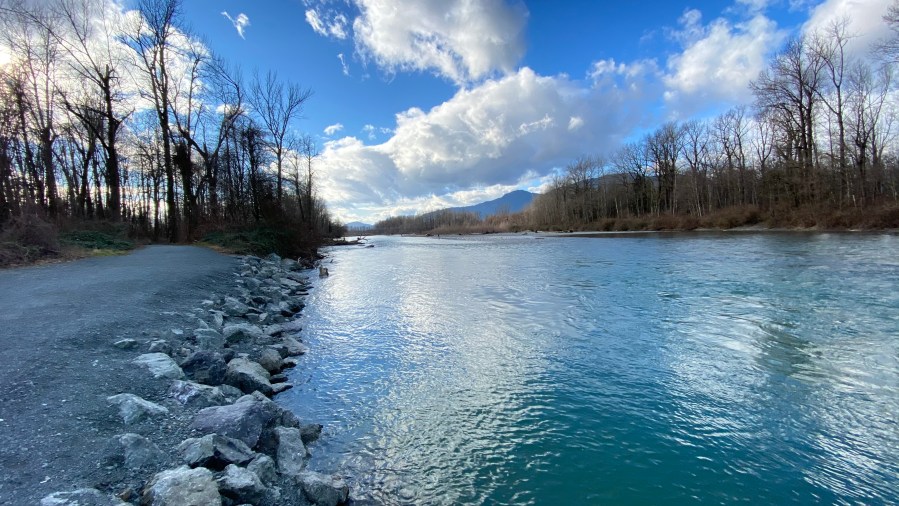
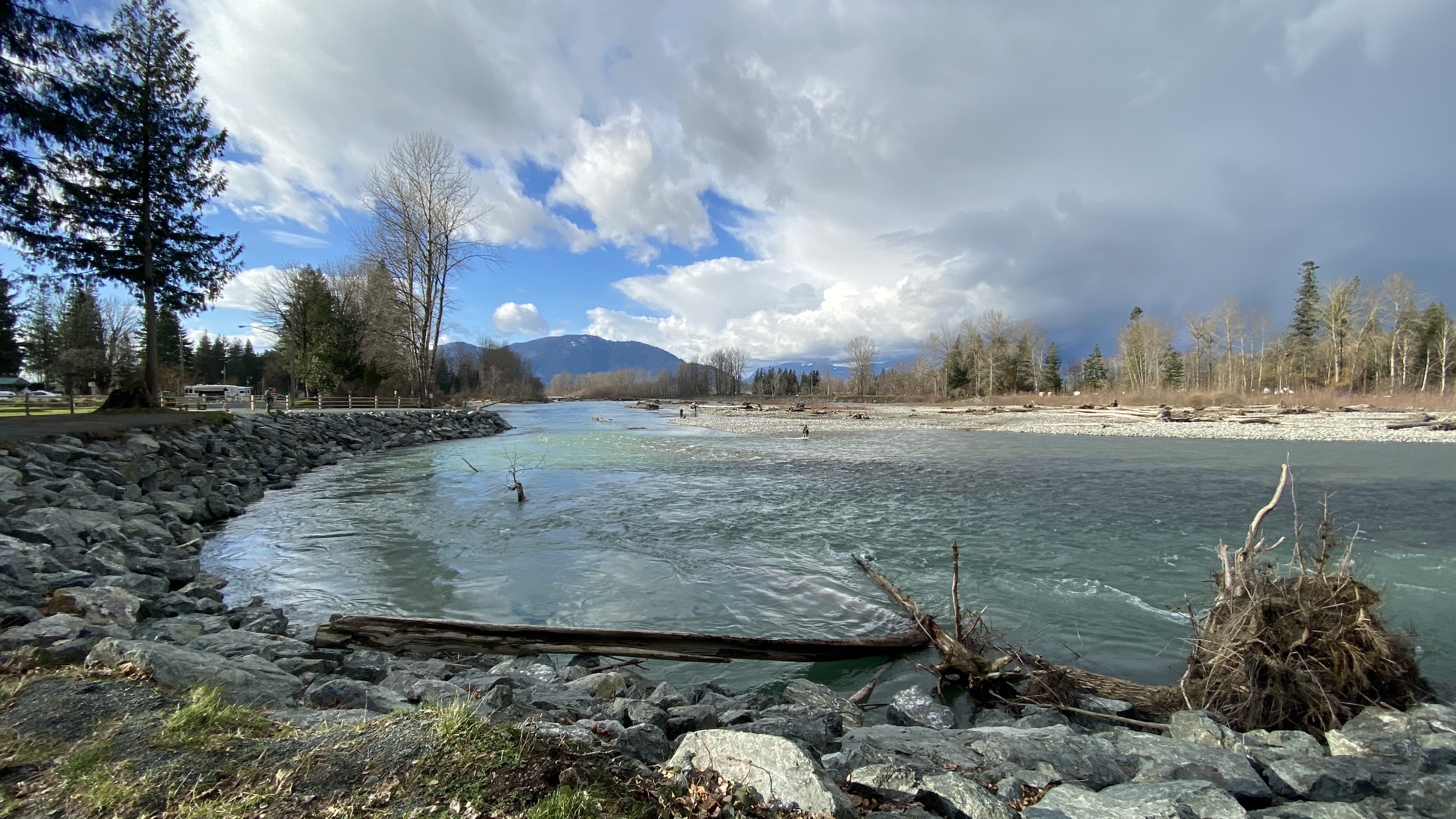
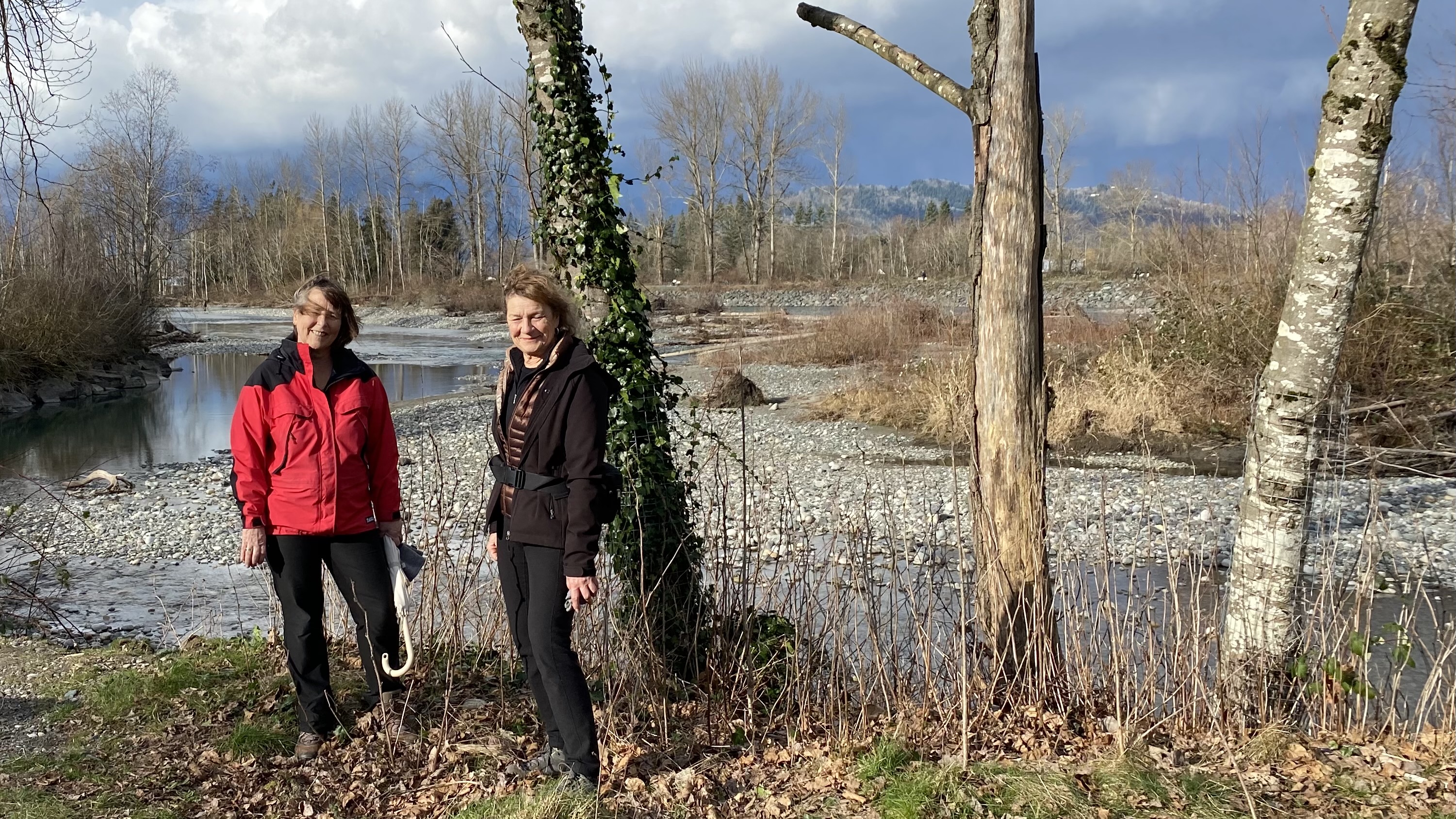
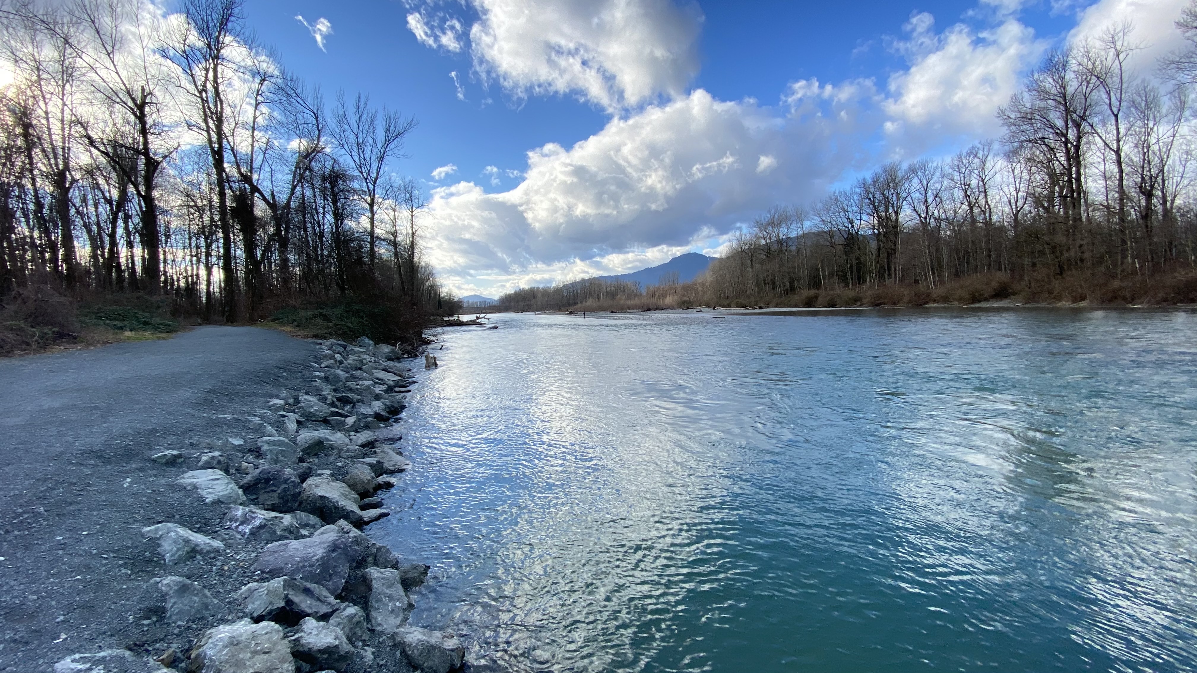
Maurice and Anne (and Carolyn) ramble beside the Vedder River
A bright and breezy excursion along the Vedder River trail in Chilliwack. It was a cold day for a walk, but Anne and Carolyn braved the elements. First stop coffee, then off following the river. A few people were fishing the waters, however we did not see anyone catch any… Walked from the Vedder Road bridge to the rail crossing from the south side, then back tracking the north side.
A refreshing day for all.

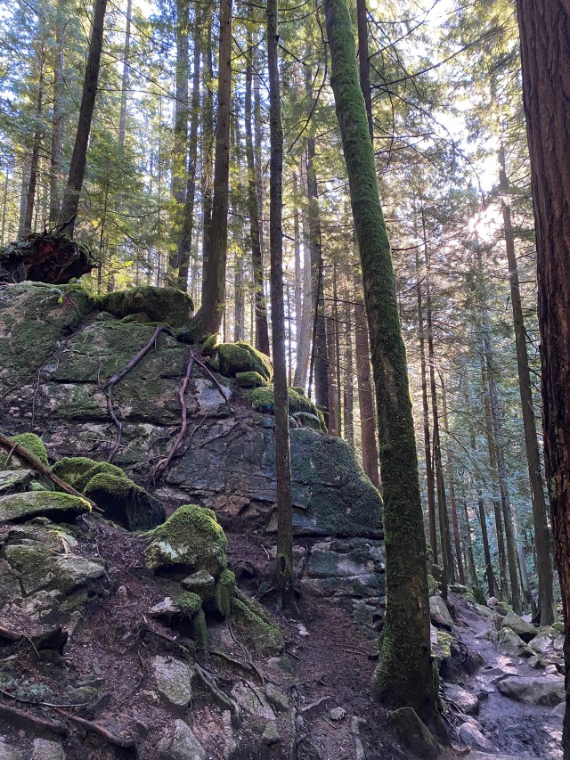
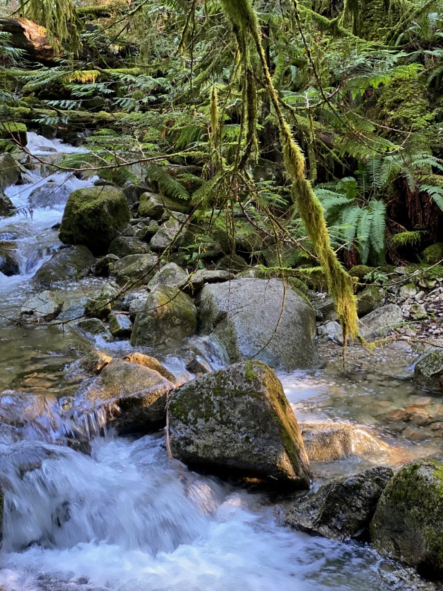
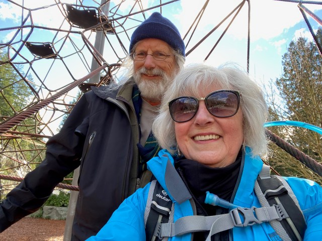
Angela and Dave in the mountains behind West Vancouver
We walked a loop of the Trans Canada Trail known as W6B (from the Trails BC site). We parked at the Gleneagles Community Centre and headed over to the Baden Powell trailhead.
The first part of the Baden Powell is uphill and with delightful forested sections, particularly attractive with sun dappling the trees. We turned off at the Whyte Lake junction and took the side trip to Whyte Lake itself. There was ice at the edges of the lake, which might explain why nobody was swimming.
Continuing on the Whyte Lake trail, we crossed the old Highway 1 bridge over Nelson Creek and headed downhill to the Seaview Walk. This is a scenic stroll with striking water views on a repurposed railway line that more or less parallels Marine Drive (experienced by a number of Loopers in 2019: see https://transcanadatrail2019.home.blog/2019/01/06/2018-january-6-horseshoe-bay-to-stearman-beach/). There were more people and dogs on the return trip but no wildlife.
You can find details of the loop at https://trailsbc.ca/loop/lower-mainland/whyte-lake-hike-w6b


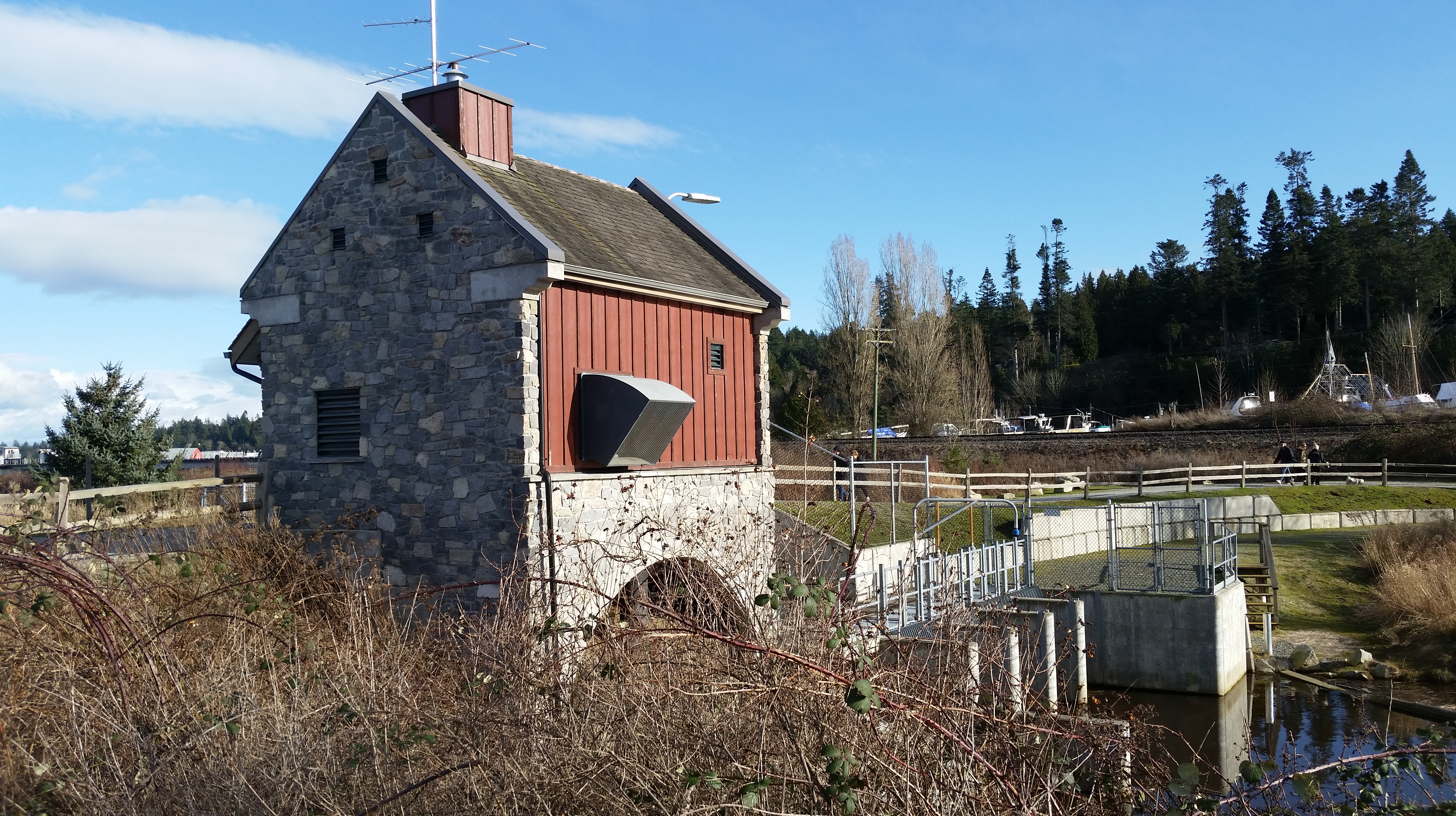
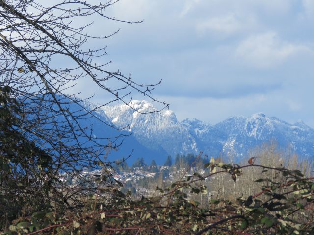
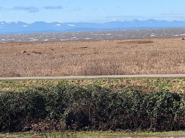
Joanne and Gord in Richmond
This month, we decided to try Terra Nova in Richmond. We parked at the last parking lot on River Road, and when we stepped out of the car we were greeted with cold, blustery winds. The white caps were dancing on the waters. We walked along the West Dyke Road, past Westminster Highway, until we saw the turn-off for the Terra Nova Natural Area and crossed over the bridge. This is owl territory, however no luck today! We walked in a loop around the Natural Area – the vegetation was there in all its wintry glory – reds, browns and muted beiges. Parts of the trail were very muddy — will my boots ever be the same! We crossed Westminster Highway and then walked around the Terra Nova Rural Park — very busy with children playing in the adventure playground. We climbed the hill and took in the magnificent views of the snow-covered mountains and waters. We then headed back to the beginning, down the hill to the parking lot, with everyone vying for our coveted parking space. Total distance 5 km
Myra on North Shore trails
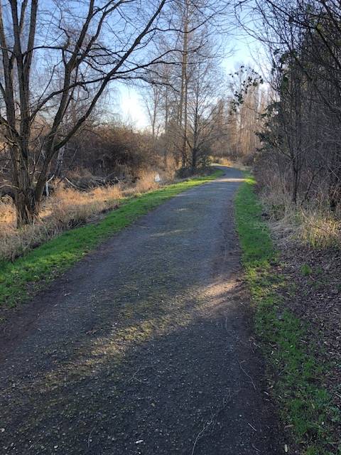
I did a 5km walk from Safeway at Parkgate, up Indian River Rd, onto some paved then forest/bike trails. Meandering a bit and headed into the Cove for tea. Unfortunately, but not unexpected, it was too busy, so I headed home from there. The End
Larrie and Derek on other North Shore trails
Derek Frampton and I walked from my house at 8:00 a.m on a trail behind Dave and Angela’s toward Quarry Rock to catch the Baden Powell Trail heading uphill crossing Indian River road and then Mt. Seymour road. Down Old Buck to Parkgate for coffee and a snack before walking home. Three hours to the coffee shop. Not busy until about ten then it seems everybody was parking on Mt. Seymour Road and heading down to Quarry Rock since the Deep Cove route is closed. One nice scene was a man with a little girl about four picnicking along a creek. She was on a bamboo mat playing with her little dog curled up beside her. He was cooking on a gas stove for them. I didn’t take a picture as it it just seemed a private spot yet for all to see. Nice day for it but sore today.


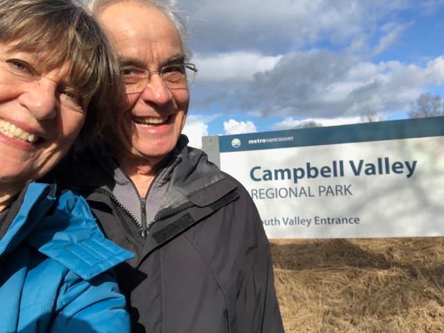
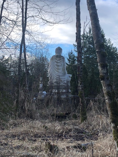
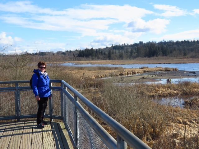
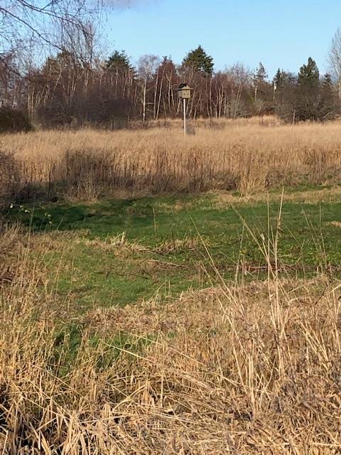
Julie and Alan venture to South Surrey
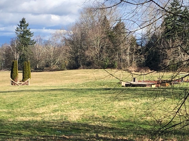
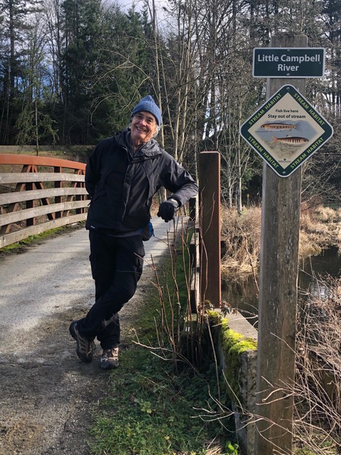
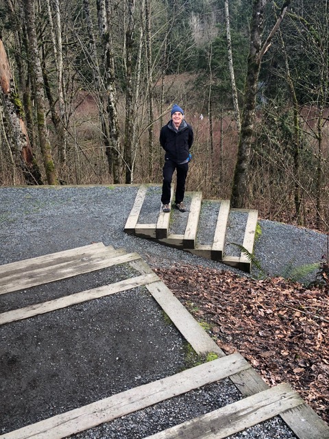
We thought we’d like to get out into the countryside and as both of us had far off memories of going to Campbell Valley Regional Park for short walks and picnics, we decided on driving out to 8th Avenue in sunny Surrey. We arrived to almost full parking lots at the South Entrance and began our 11 km walk around the outer edges on the Shaggy Mane Trail. And sure enough, pairs of horses and riders passed us, jovially calling out “hi” the whole way round. In fact, everyone including kids and dogs called out “hi”. Very friendly place, and, though busy, most people wore masks. The trail is wide to accommodate horses passing, but interior trails are narrower. There is another parking lot at the North Entrance on 16th Avenue and a little bit east of that is the old Scout Camp Alan remembers going to in his youth. The east and south side butt onto two horse centres, a beautiful rolling horse jump-training course and a riding academy. Shaggy Main Trail was a trifle muddy and full of twice processed horse feed, but nicely aromatic. The valley is bisected by the Little Campbell River which is marshy and wide in some parts and narrow creek-like in others. Protection of local and native species prevails. We finished back at the South Entrance by wandering through the historic Rowlatt Farmstead. An invigorating, interesting walk!