
At the risk of jinxing us for April, I have to say that the Loopers have been on a “good weather” roll so far this year, with Sunday, March 6th being another spectacular day for a group walk: blue sky; crisp air. Our March walk marked the proper start of the 2022 Looper project, which is (more or less) the reverse of our 2015 walking project, which the elder Loopers casually refer to as “Horseshoe Bay to the USA.” That year-long project (blogged about here) was based on walking routes documented in Clapham. Plotting a reversal of that route was not as straightforward as one might expect, for reasons which include: (1) the COVID-related closure of Peace Arch Park; and (2) the COVID-related closure of the Semiahmoo First Nation reserve. This is the point at which we gratefully acknowledge the reconnoitring and route-plotting efforts of Dave, our stalwart leader, and the equally stalwart Angela!
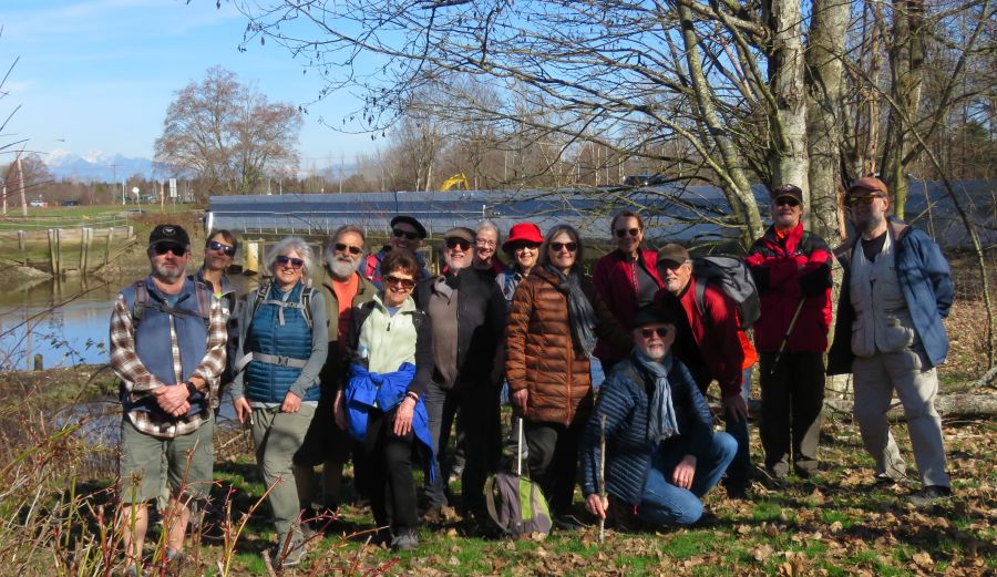
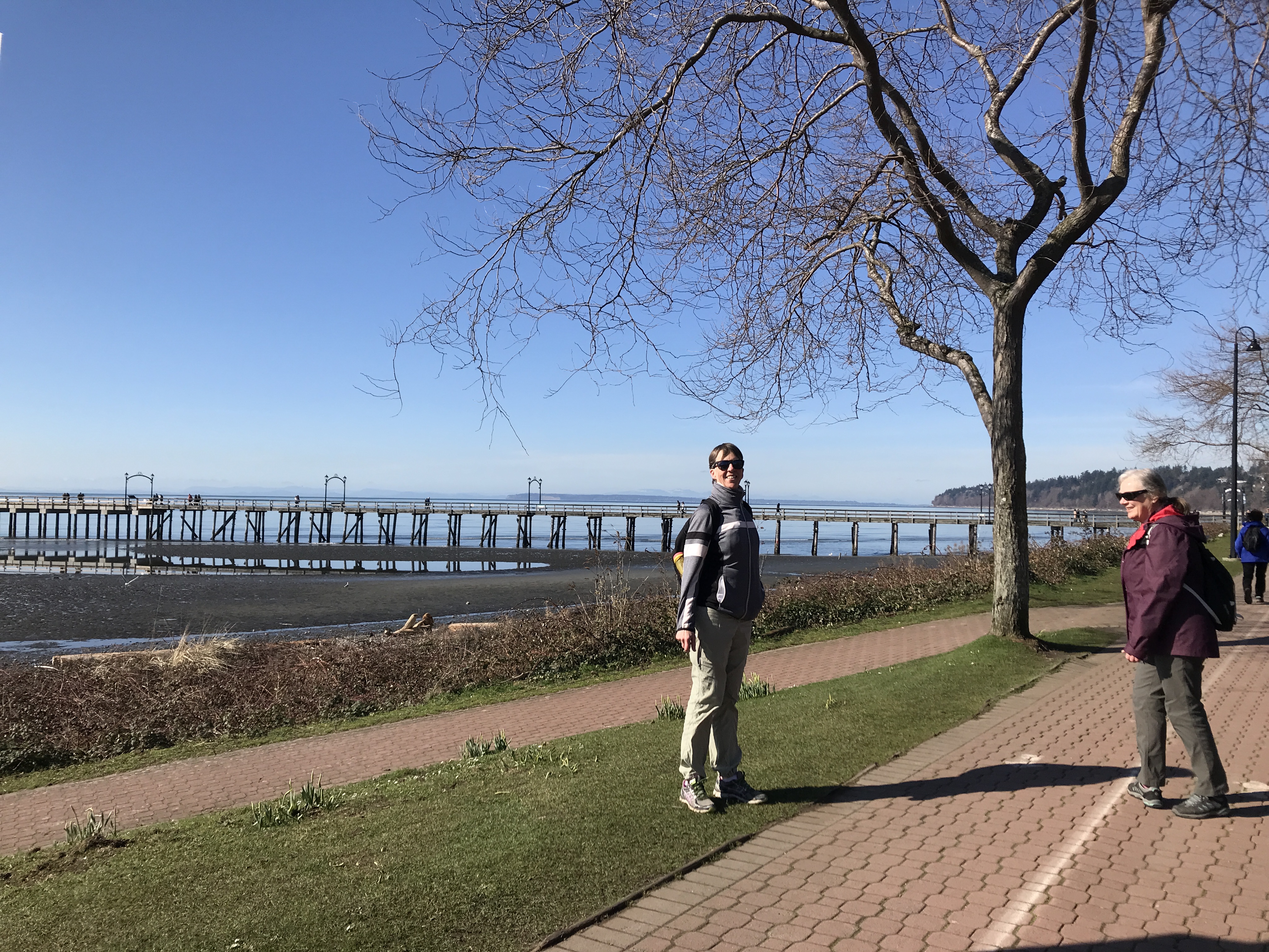
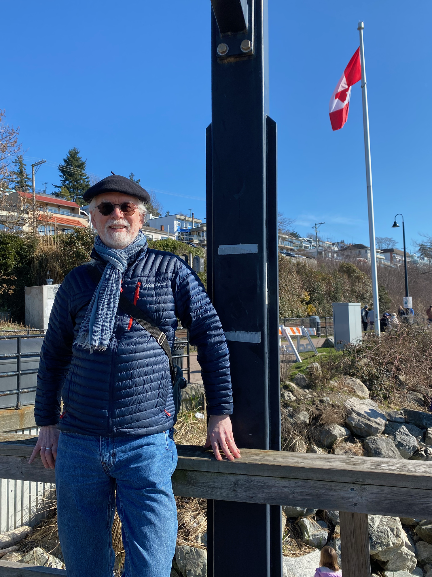
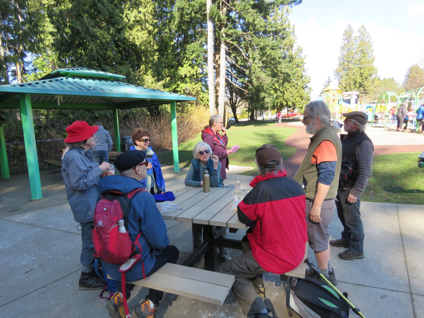
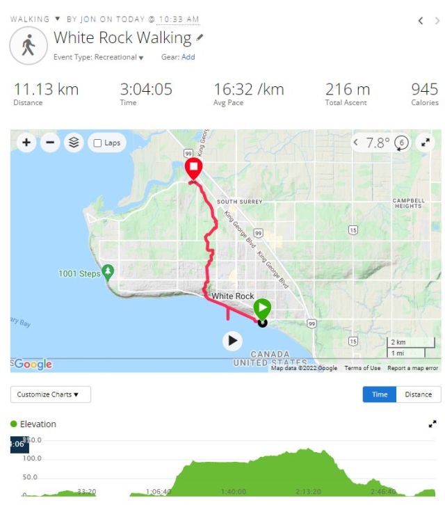
This month’s walk is also the first one in quite some time to involve car-shuffling. All fifteen of us assembled at 10:00 at Elgin Hall, near the endpoint of the walk, where free parking was available. From there we bunched ourselves into four separate vehicles, and drove to the (pay) parking lot of Semiahmoo Park, just east of downtown White Rock, which (because of the closures mentioned above) thus became the start of our 2022 march to Horseshoe Bay.

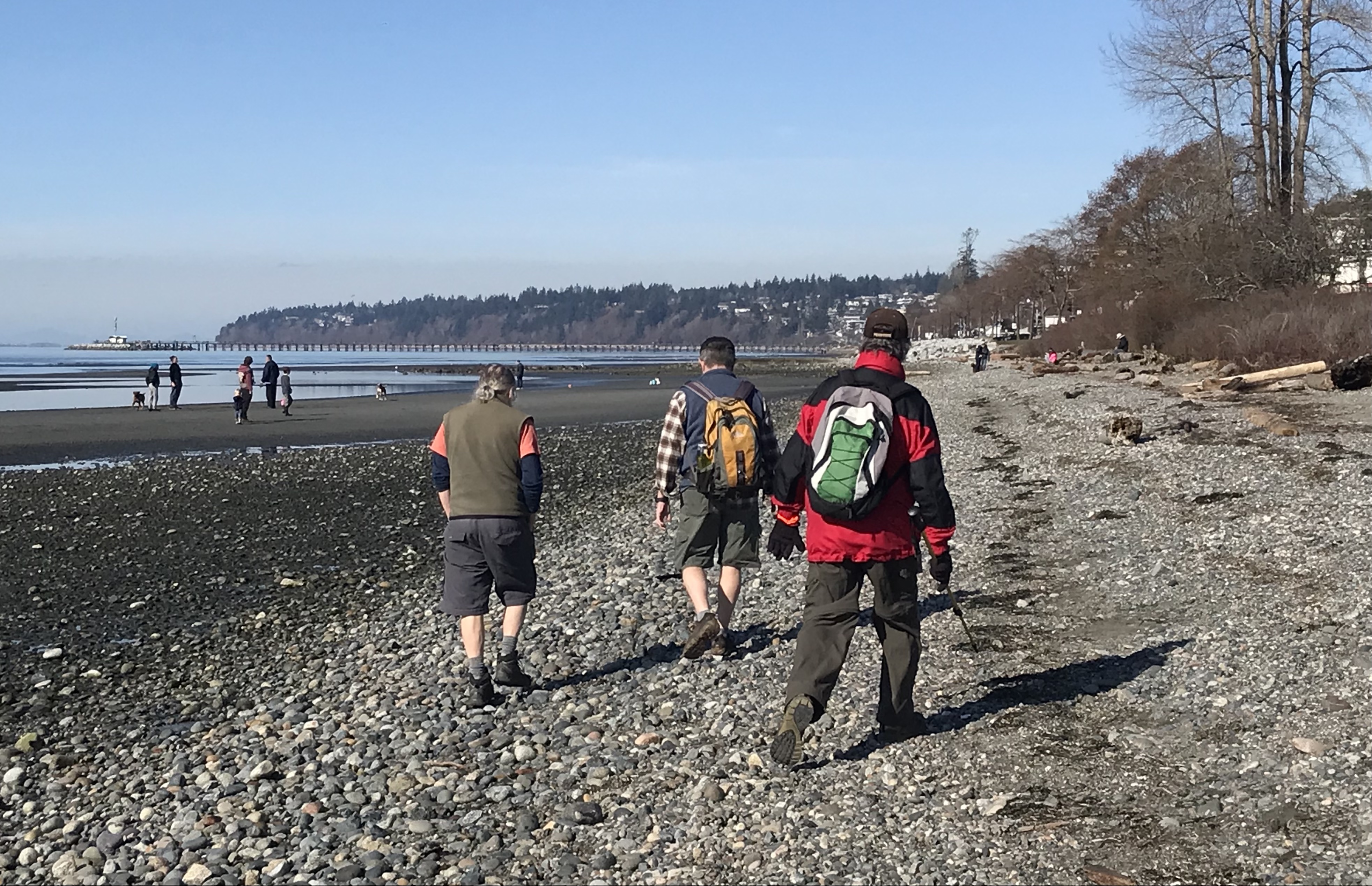

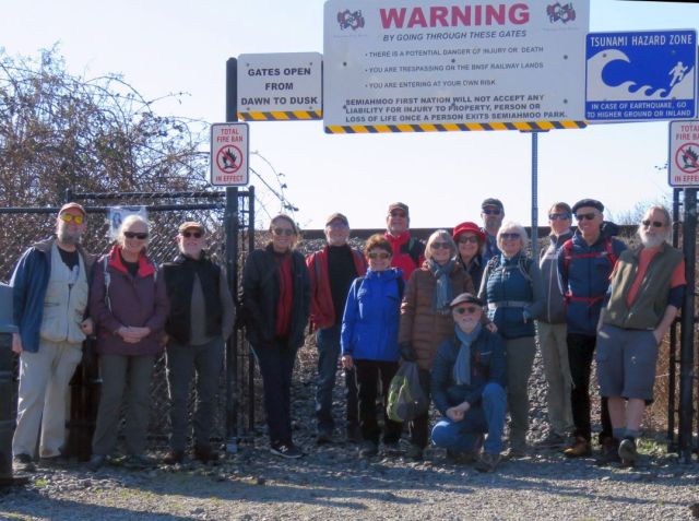
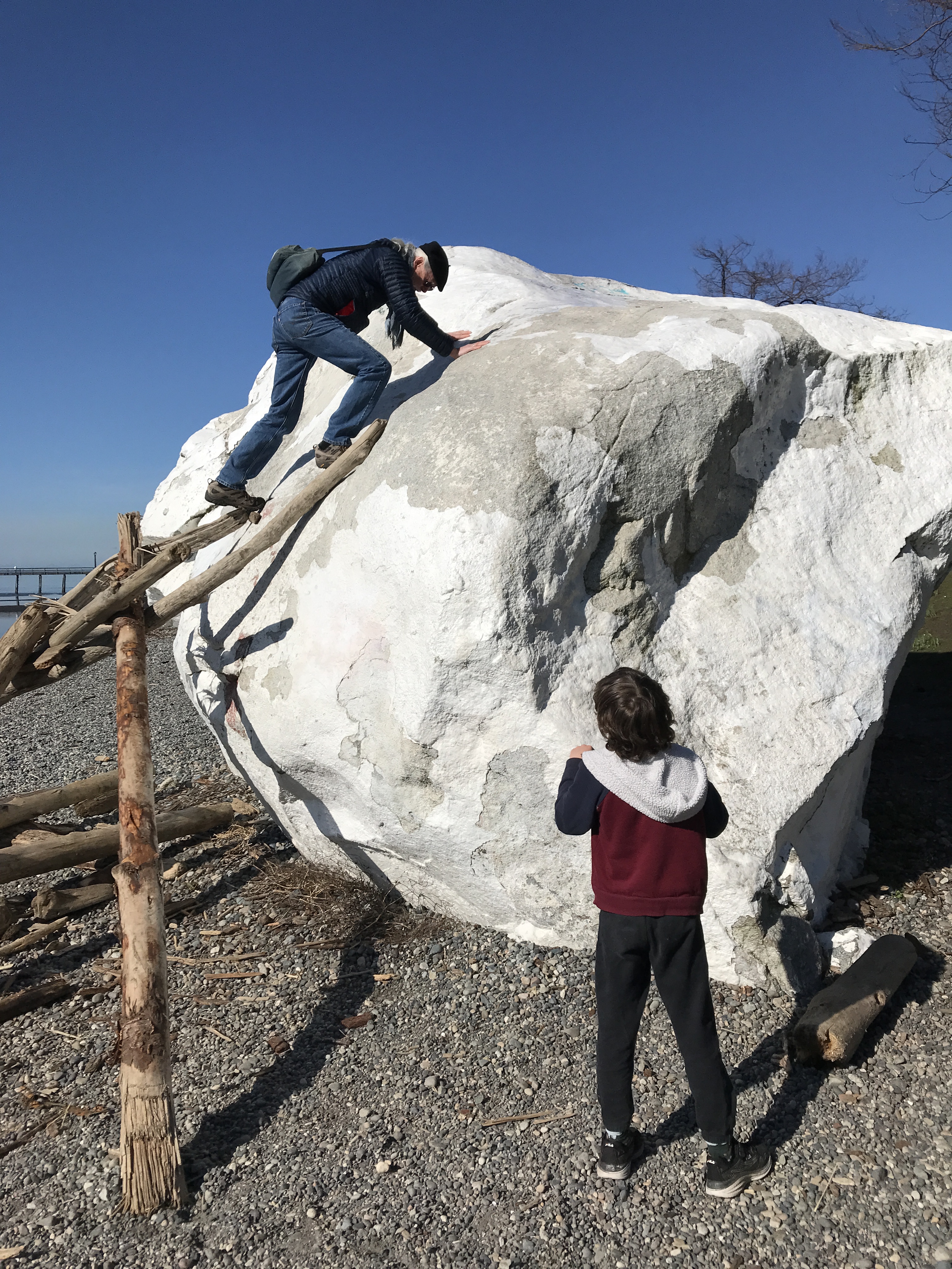
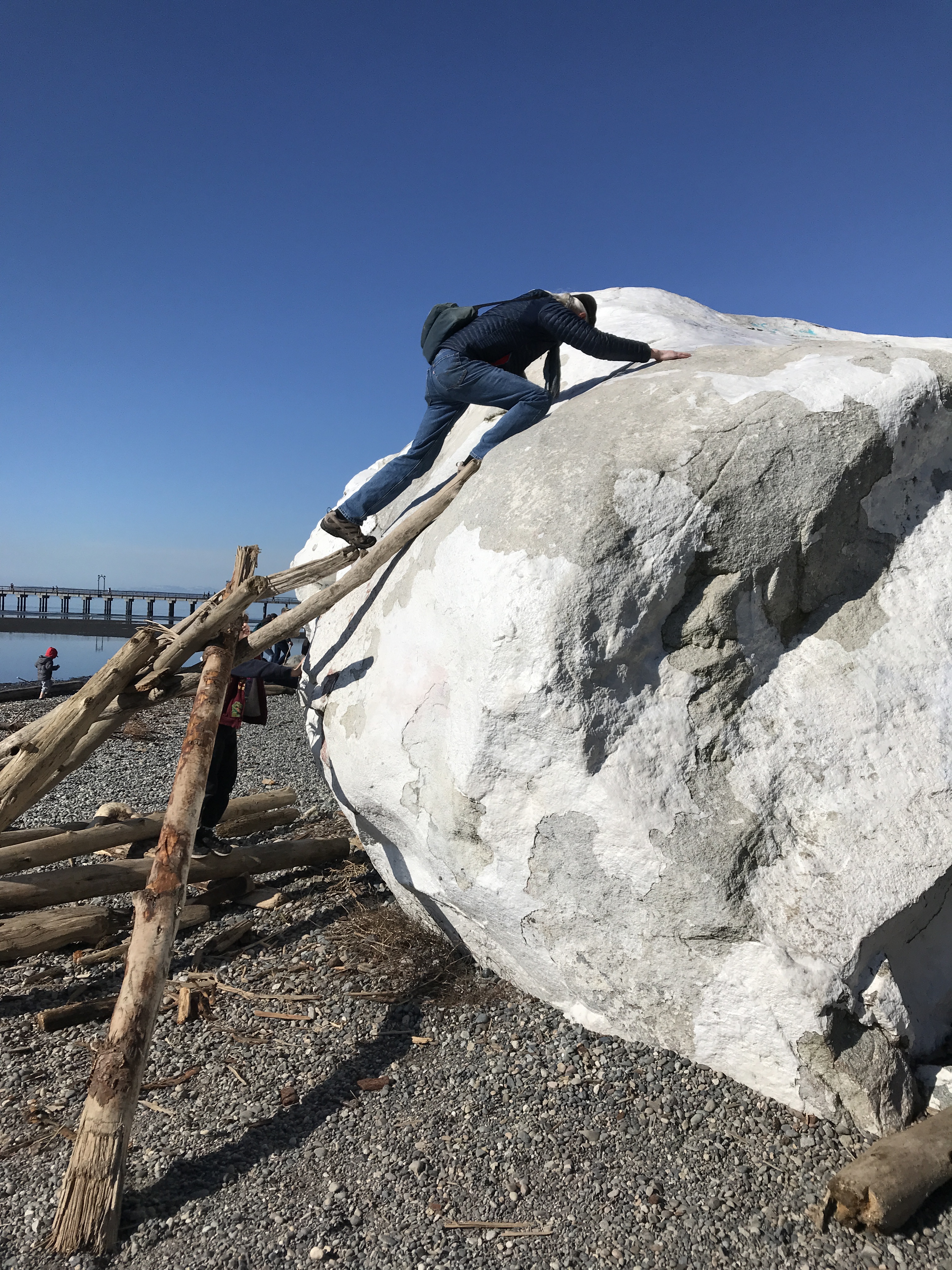
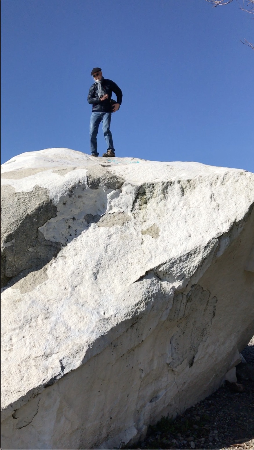
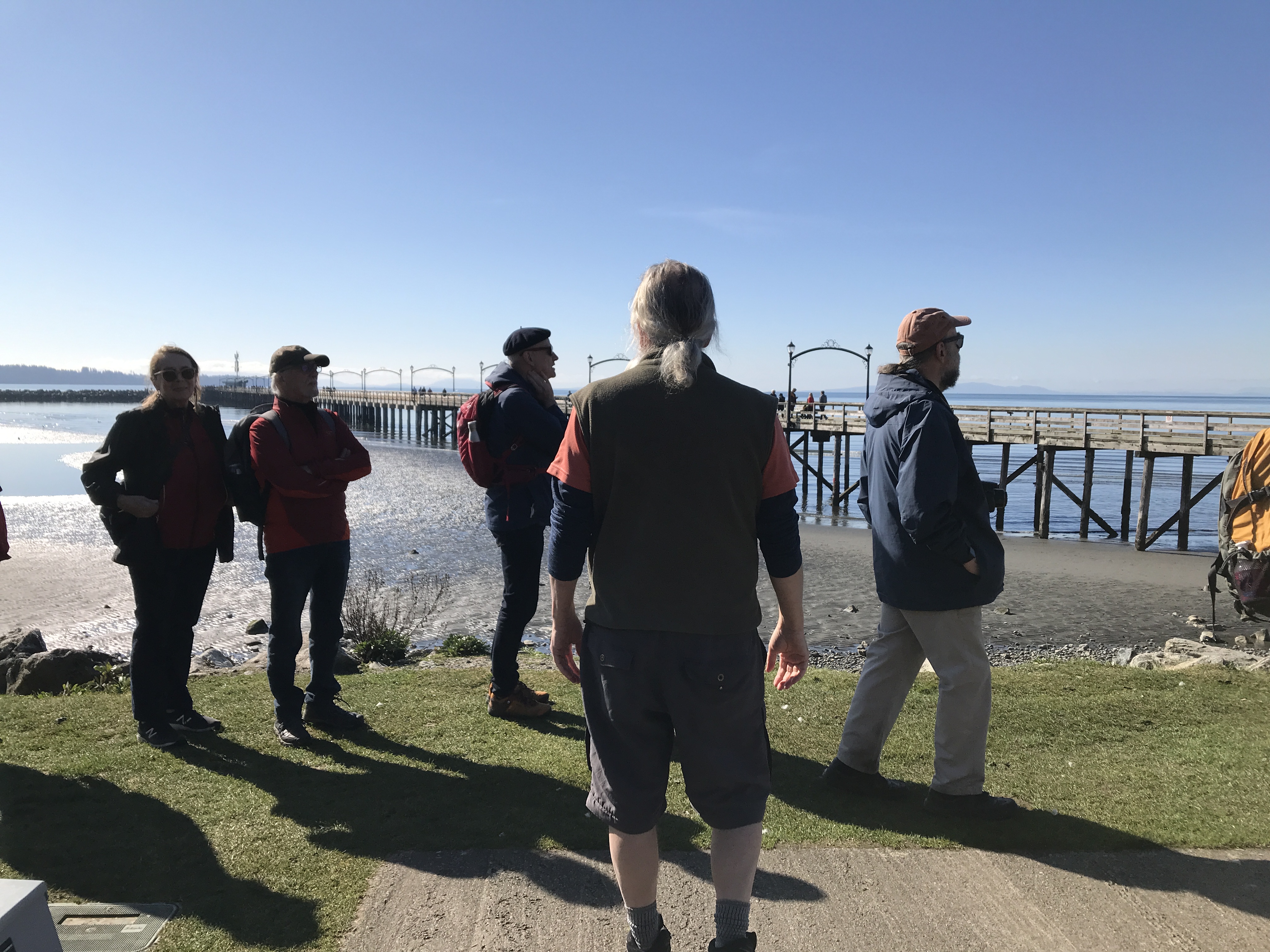
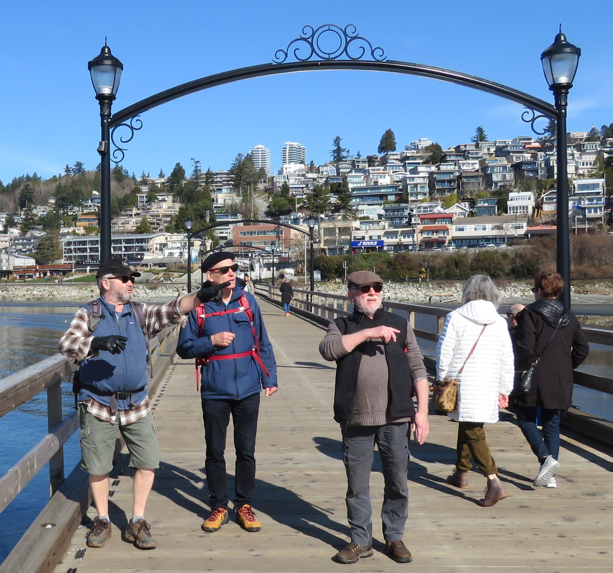
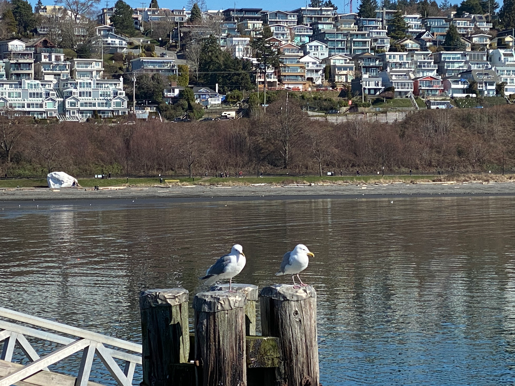
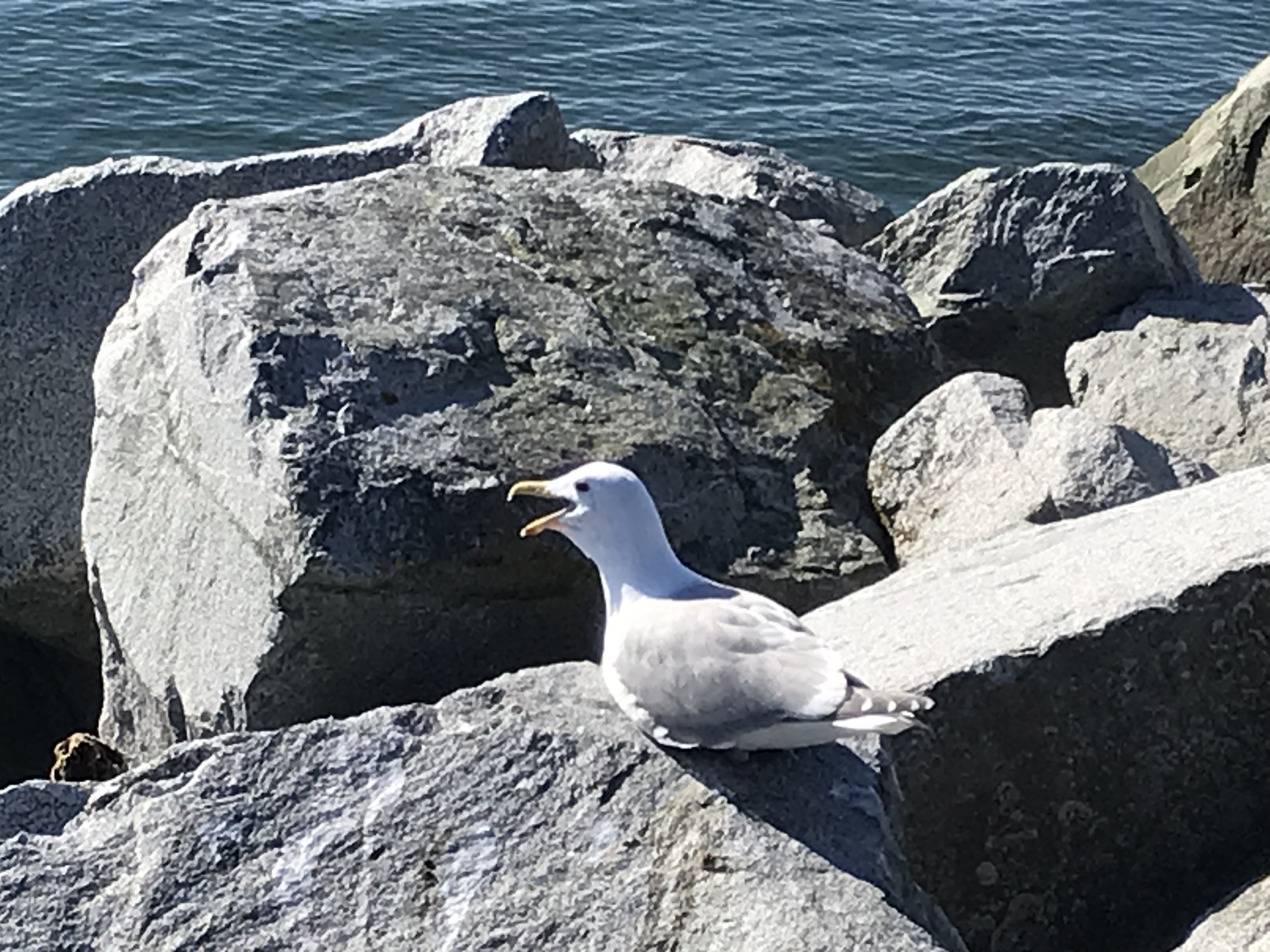
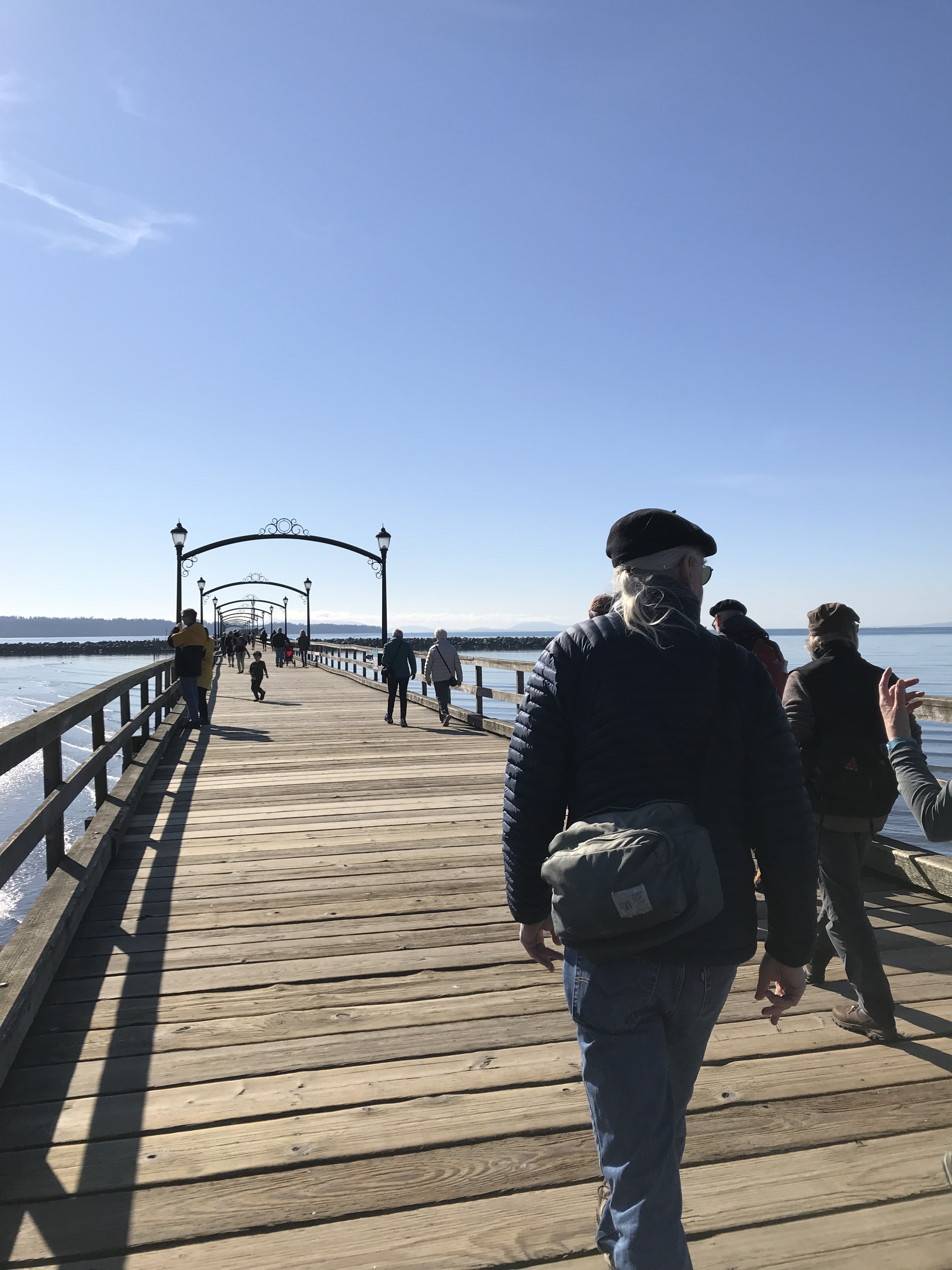
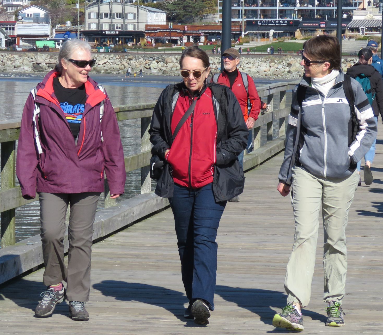
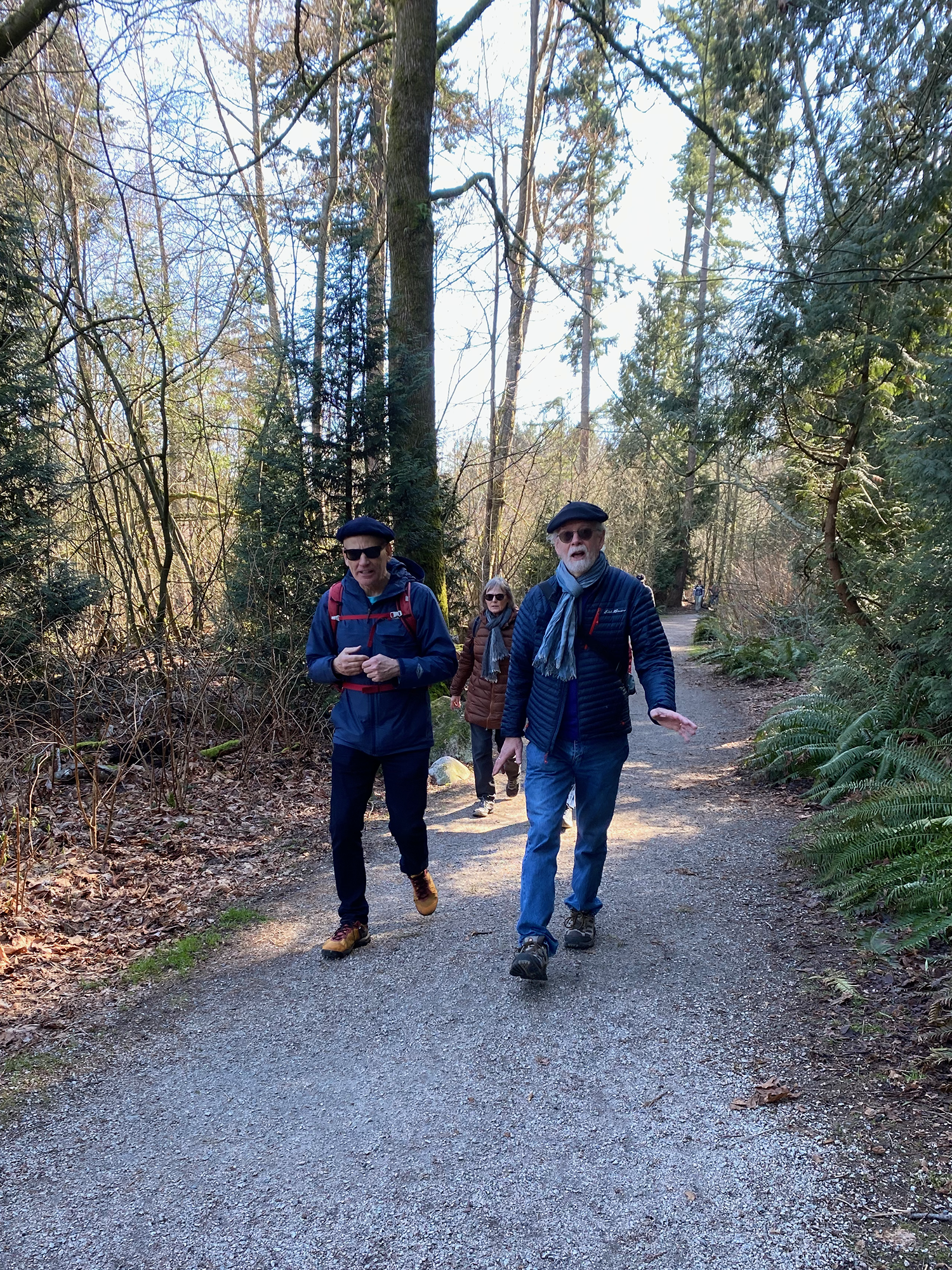
Ignoring the several signs which warned of death and other dangers, we (bravely; foolishly: pick one) crossed the railway tracks, and set out walking westward, along the beach, towards the famous White Rock Pier (“Canada’s longest pier!”). Fun facts: constructed in 1914/15; 470 meters long; breakwater added in 1953. Upon reaching the The Great White Rock itself (and inspired by the heroic efforts of Fred, in August of last year), Michael decided to try and summit it, which (with the assistance of young Marcello, who stood at the The Great White Rock’s base, and pointed to good hand- and foot-holds) he eventually managed. Fun facts: 486 tons; granite (the rock, that is, not Michael).
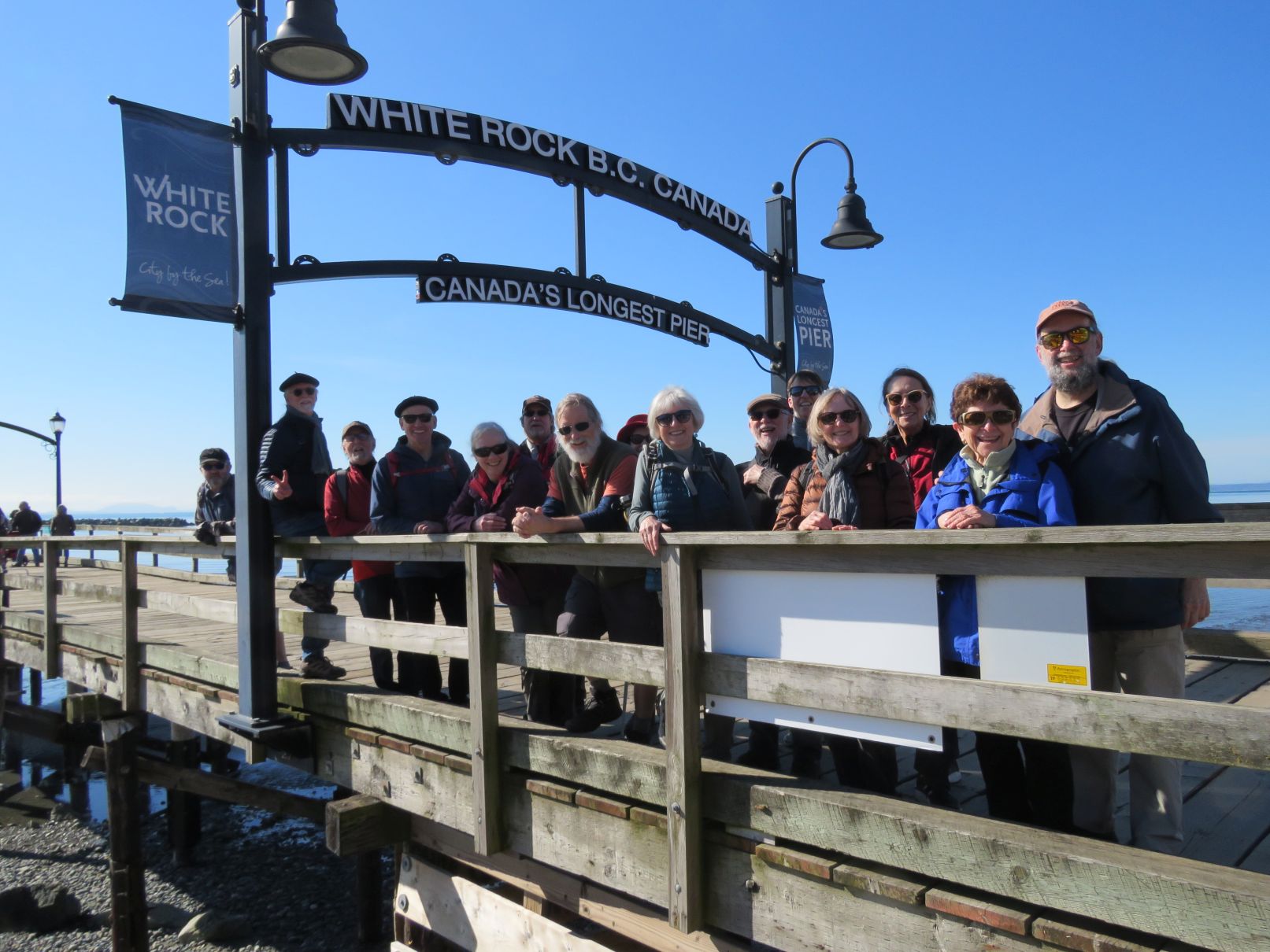
At the famous pier we assembled for a commemorative photo to mark Karina’s birthday (fun fact: Karina used to live in White Rock, until moving to the Netherlands). As a special added bonus, this blog post will include a contribution from Karina! (See the end of the post)

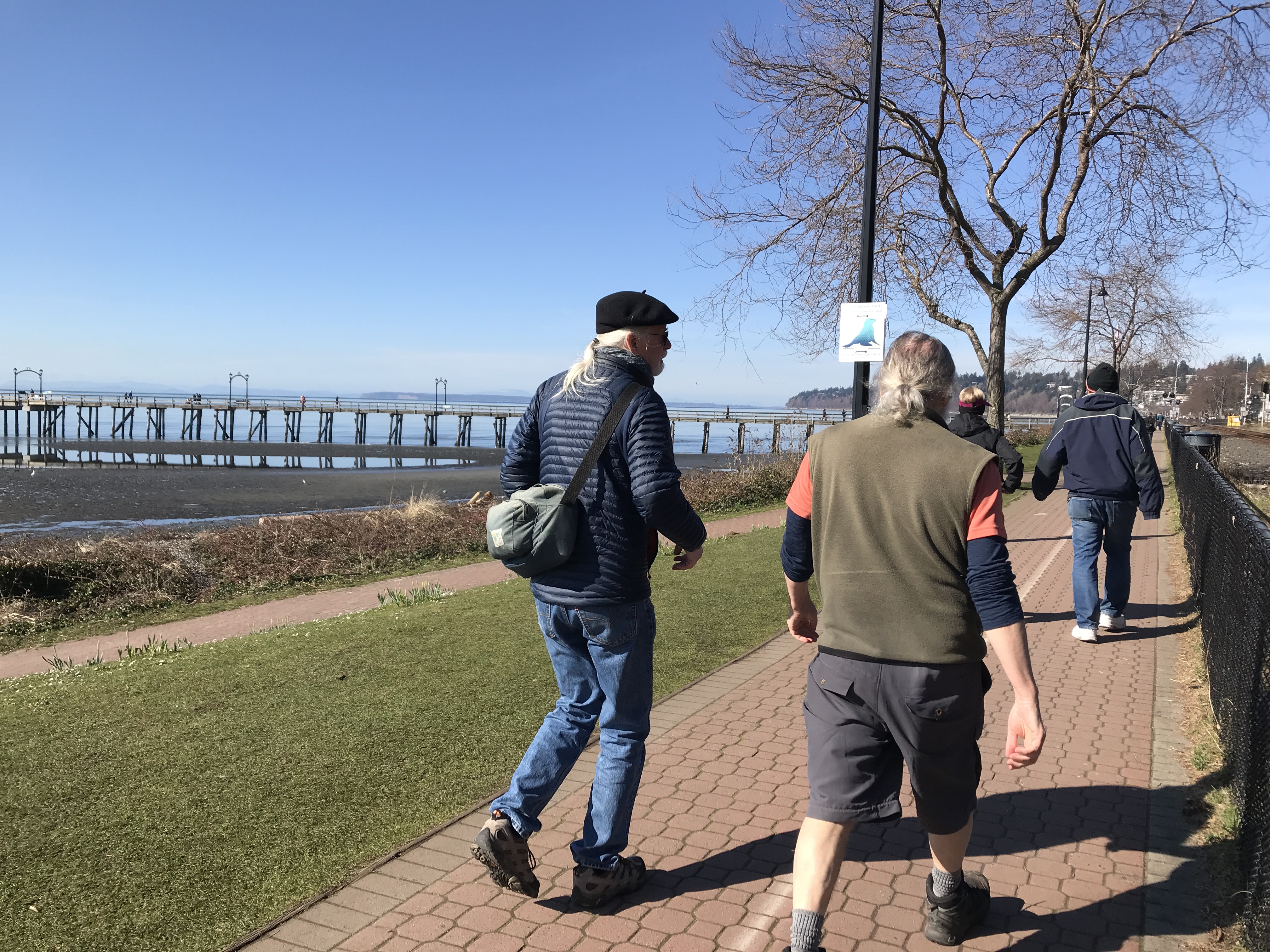


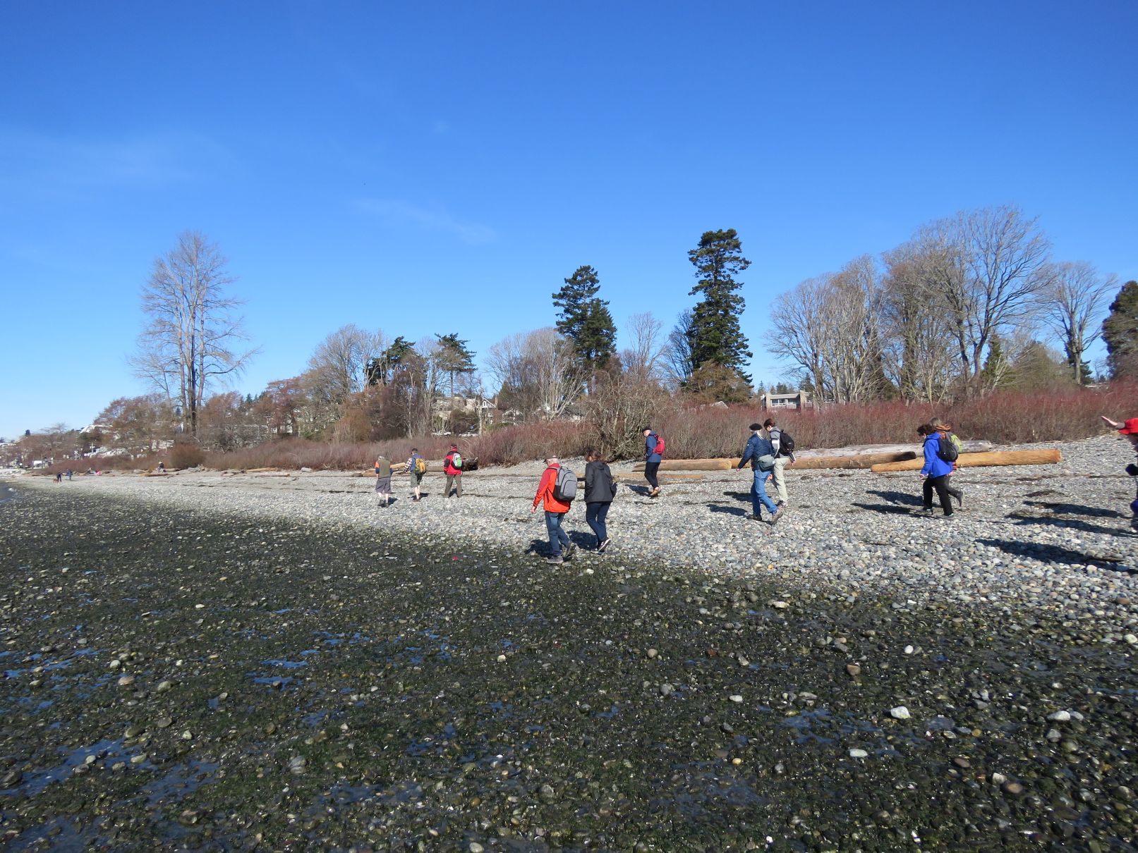
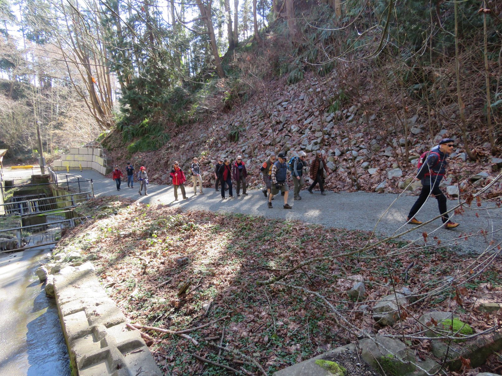
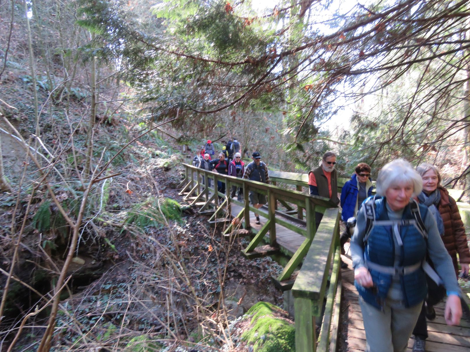
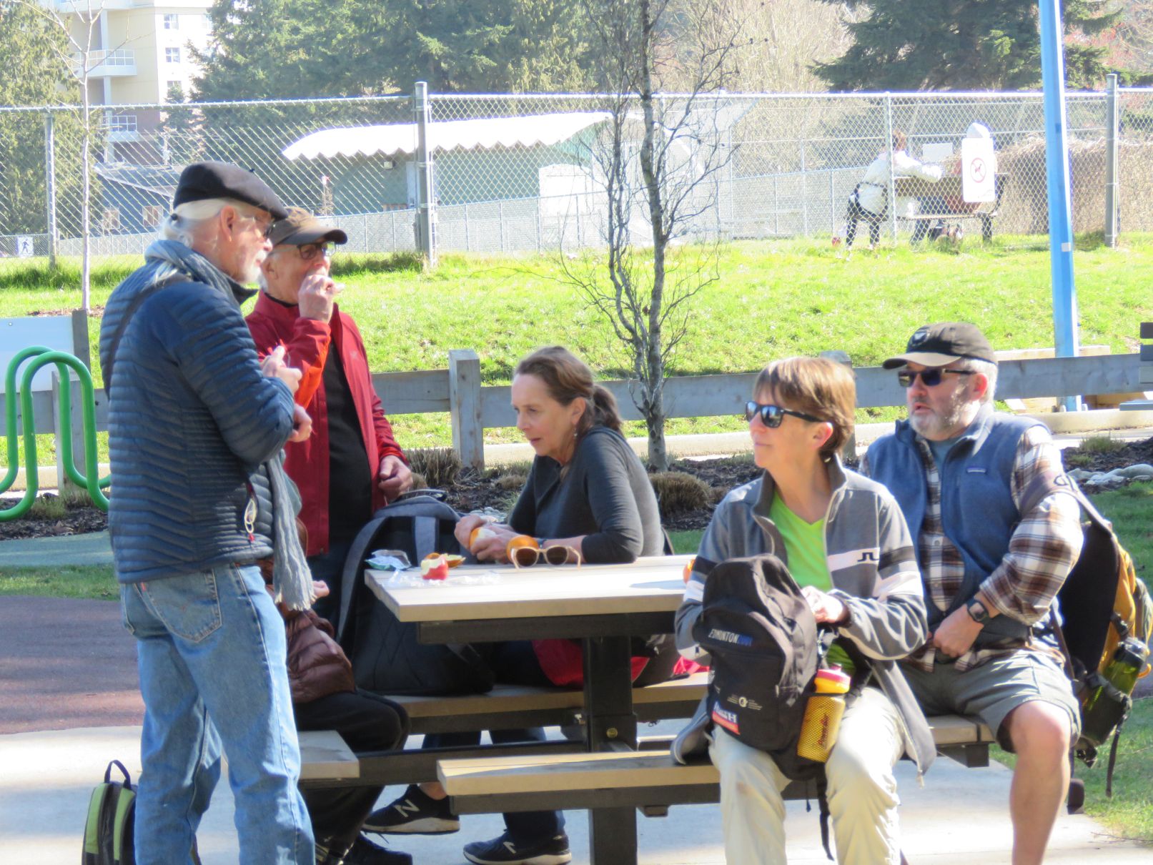
Just west of White Rock Pier we turned north, away from the busy beach-front promenade, following a nice, woodsy trail that leads, via a ravine which bisects Ruth Johnson Park, to the top of the bluff in back of White Rock proper. Once there, we took an arguably well-deserved snack/rest break, making use of the tables in the Generations Playground. Fun fact: this playground isn’t just for kids! Older kids (like most of us) are also allowed to use the swings/slides/exercise equipment! Carol, a longtime advocate of play, demonstrated the proper use of—or, possibly: became entangled in—the Double-Disk-Arm-Exerciser-And-Back-Rest.


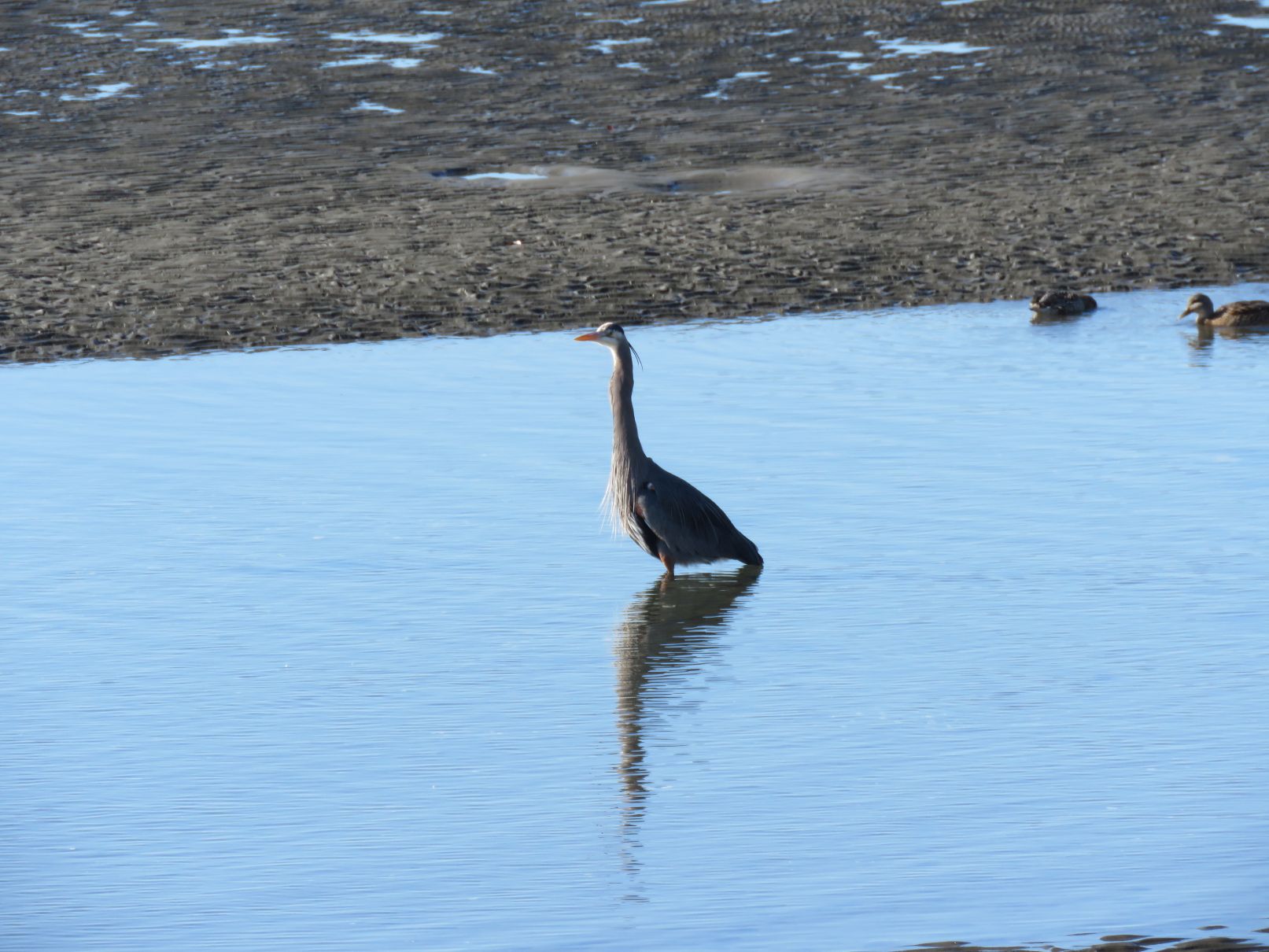
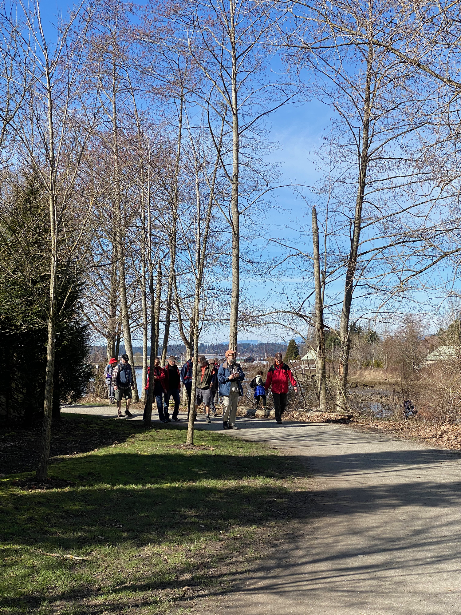
Once we had rested and refreshed ourselves, the group continuing north, passing the Seventh Day Adventist Church, eventually arriving at what is (perhaps) the largest collection of playing fields in the western world (certainly the largest such collection in south Surrey). Soccer games were (probably) being played, and spectated, as well as (possibly) others sports (potentially including: baseball; hurling; rugby; cricket). As the scarcity of reliable detail in this section of my report will make abundantly clear, we did not stop to take detailed notes, for the Nicomekl River was calling us!
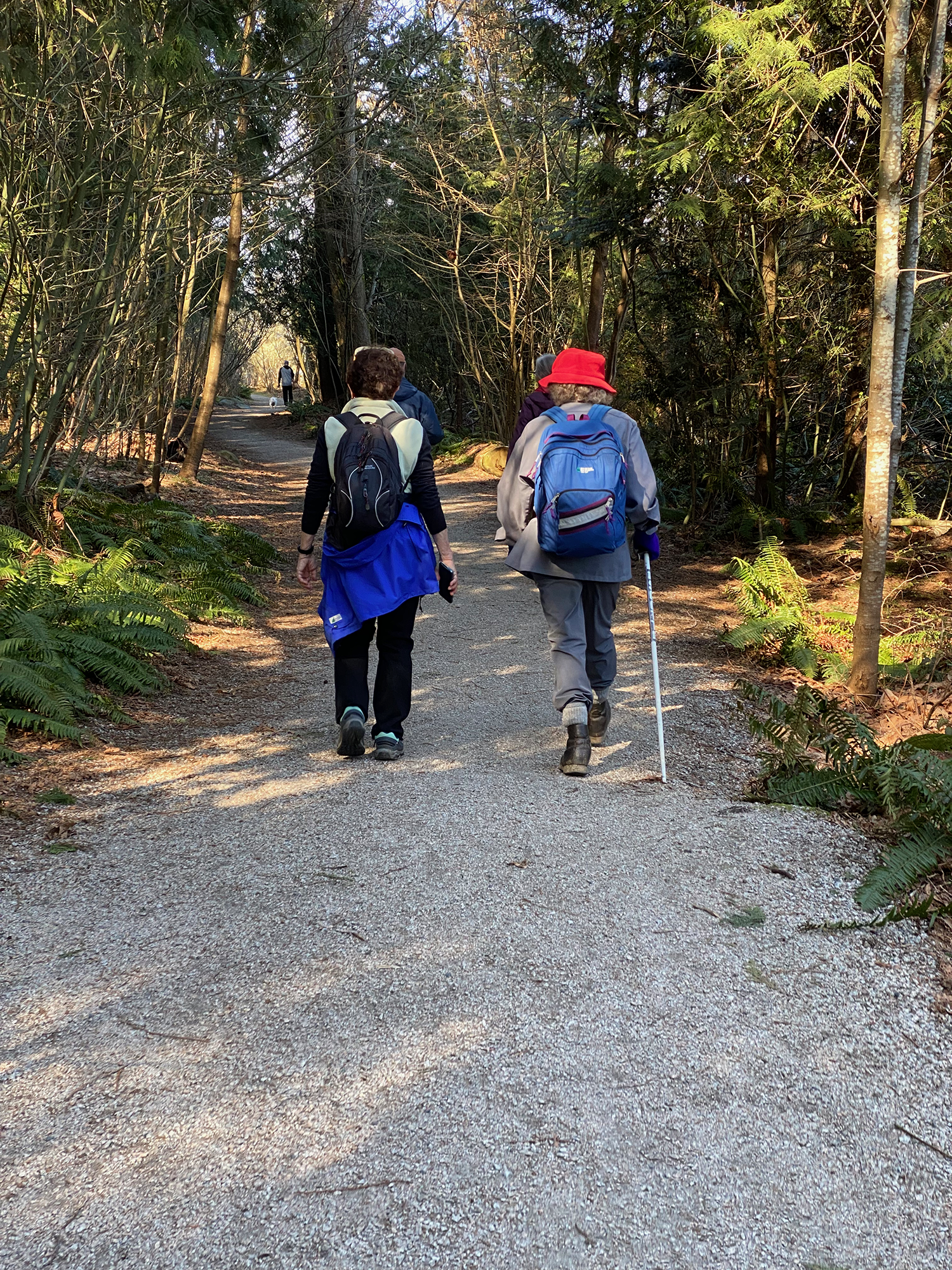
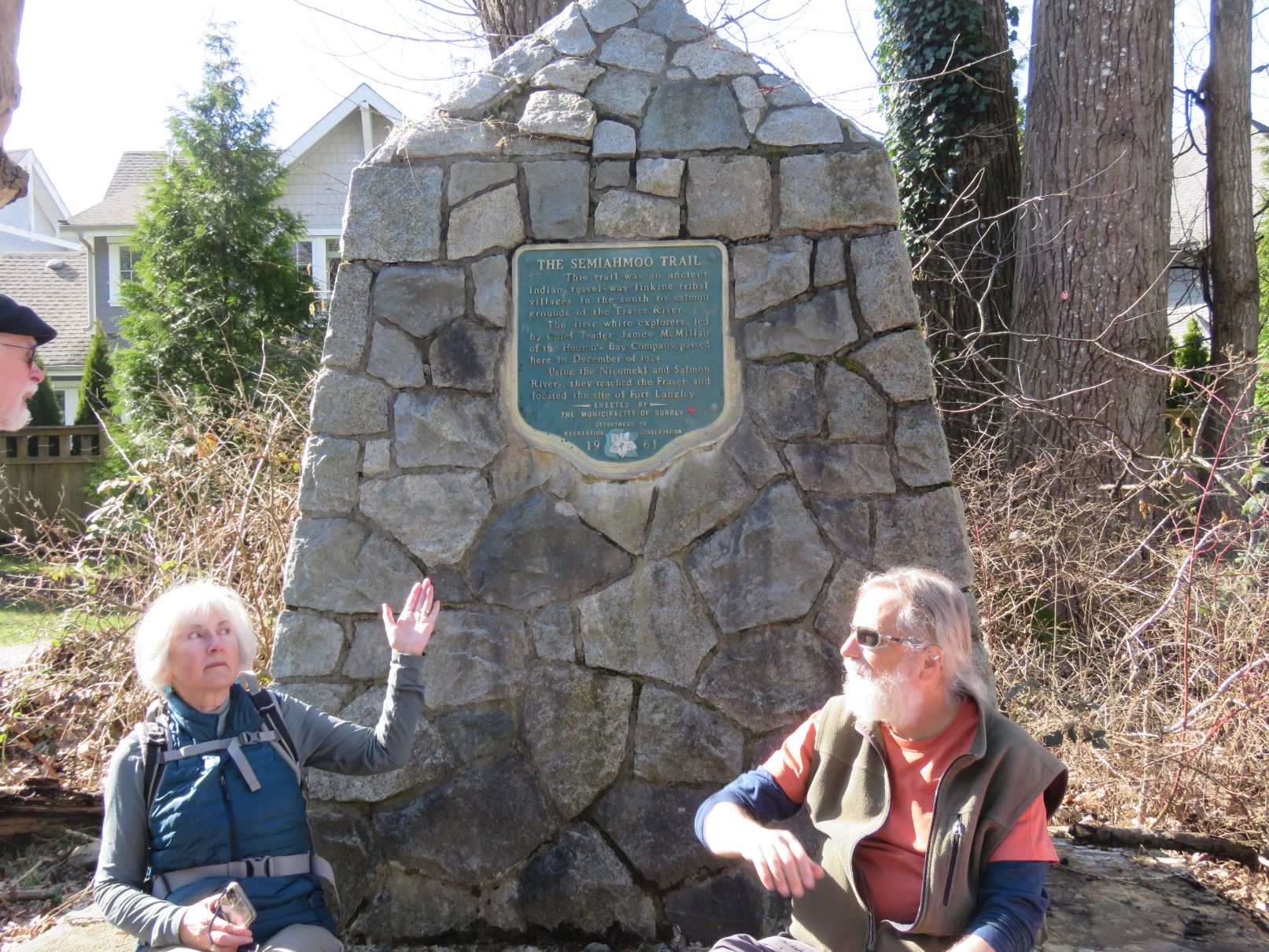
Meandering between the many playing fields, we eventually reached Semiahmoo Trail Park (NB: not a trailer park), named after the historic Semiahmoo Trail that runs through it (fun fact: this detailed history of the Semiahmoo Trail addresses, and seems to discount, the commonly-held belief—perpetuated by signage on our route—that the trail might have originally been created by members of the Semiahmoo First Nation, to travel to fishing sites on the Fraser River).
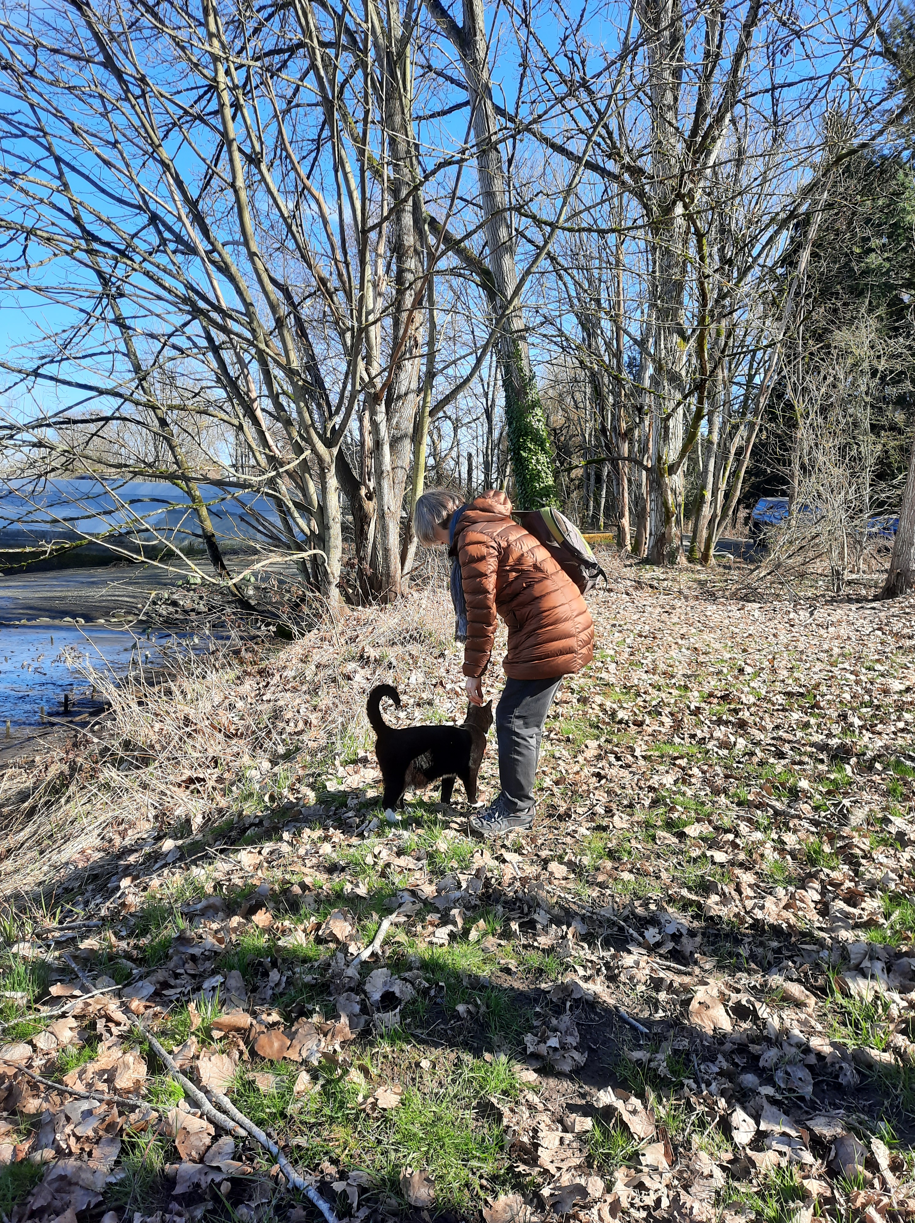
The trails in Semiahmoo Trail Park eventually debouched us near Elgin School (fun facts: built in 1921 in the Vernacular style with wood frame and ribbon windows), from which we made our way a few blocks north, to the Nicomekl River, where we assembled for a final group selfie, watched over by a benevolent one-eyed black cat, now named Chips.


Ralph and Tina were waiting for us back at the parked cars, into which (after a round of high fives and farewells) we all piled, some heading off for beverages etc at Townhall South Surrey, others for beverages of a different colour at Forecast.
Photos contributed by: Jon, Angela, Jean, David S, Liz, Michael.
An update from Karina:
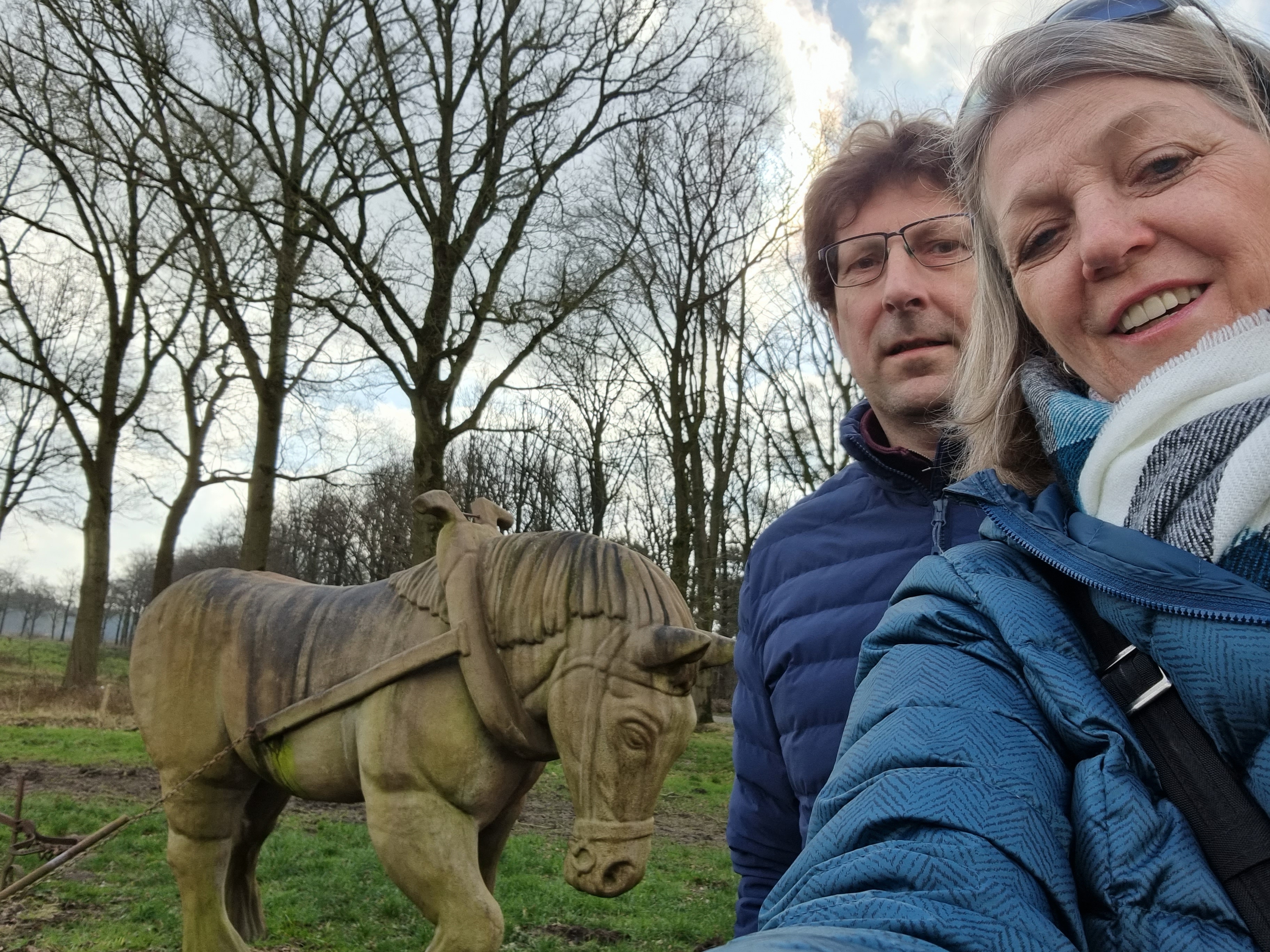
As you know it was my birthday on Sunday, March 6th so Jos and I did our Loopers walk last weekend Sunday, Feb. 27th. It was a lovely day here in the Netherlands with a few clouds. We walked in an area known as The Utrecht Estate which has many walking paths that feature several sculptures and other art displays.
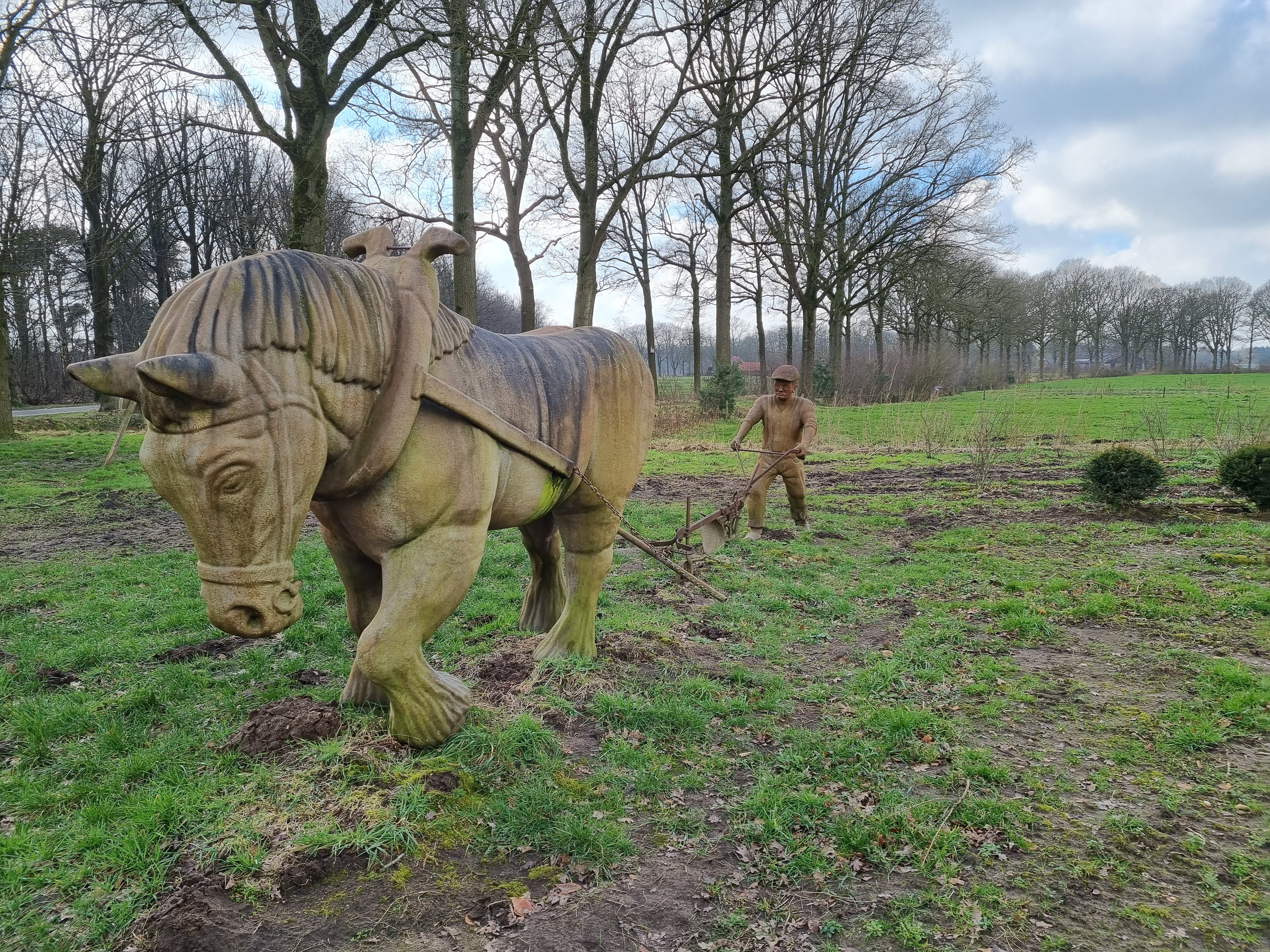
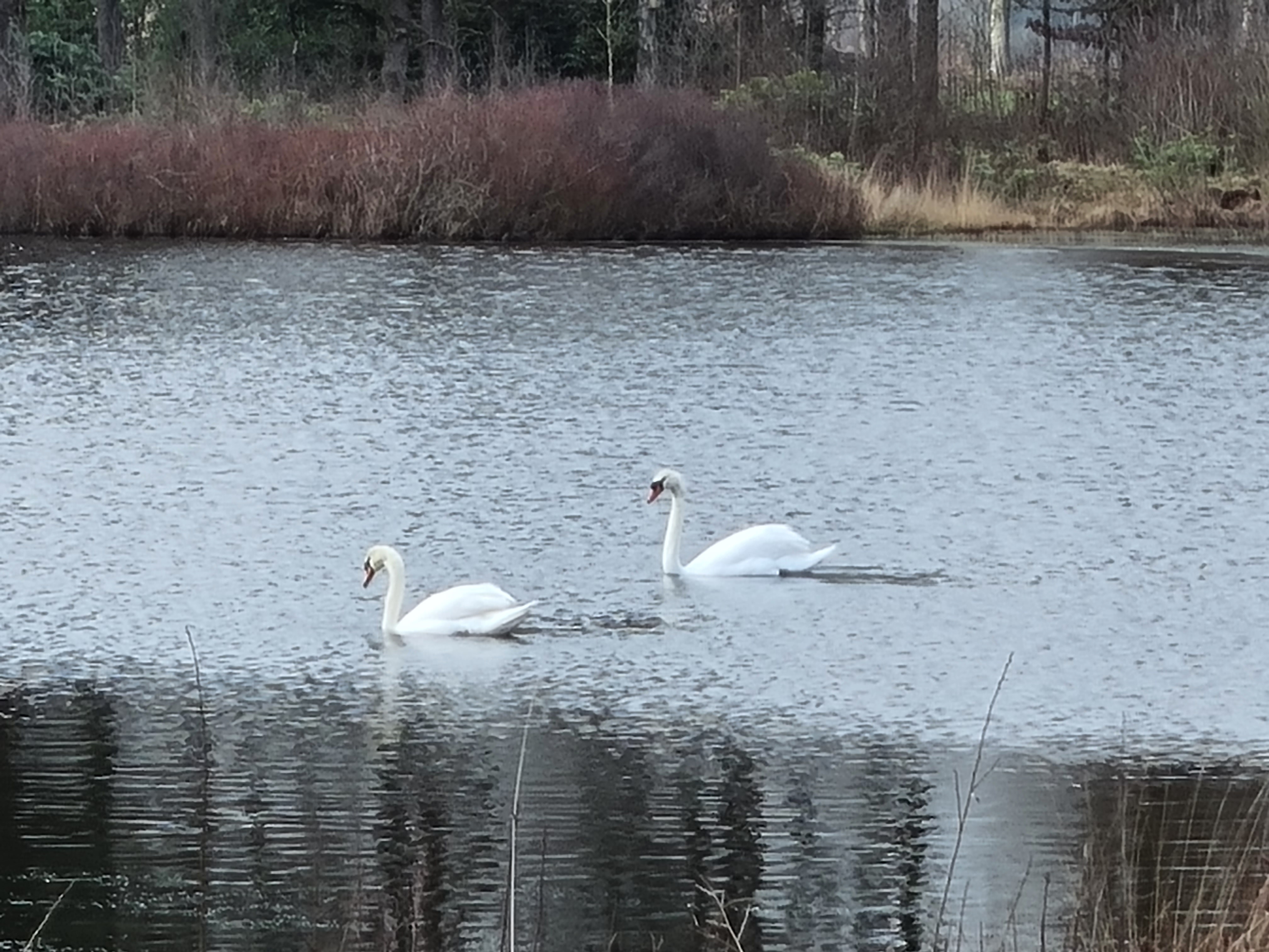
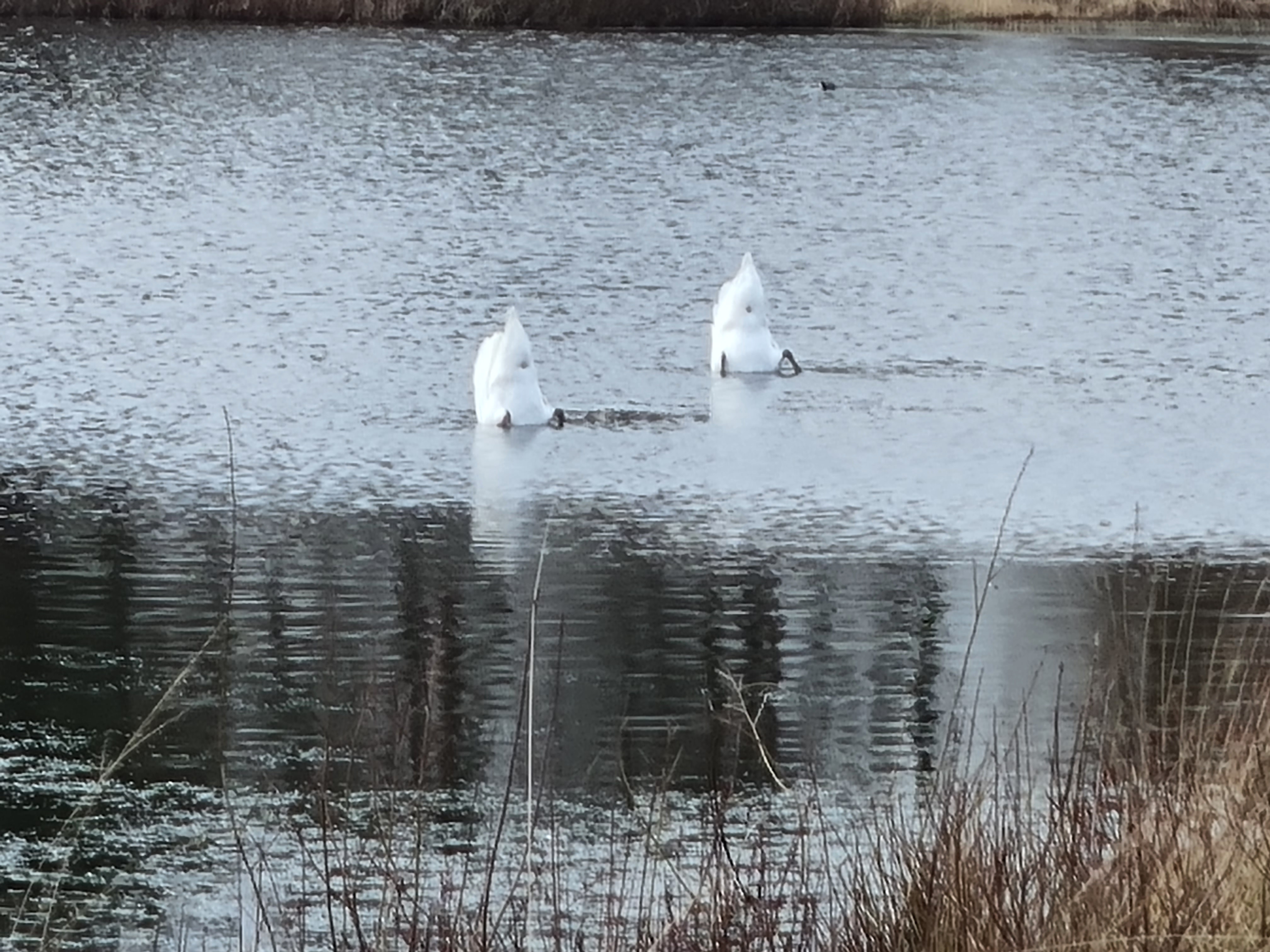
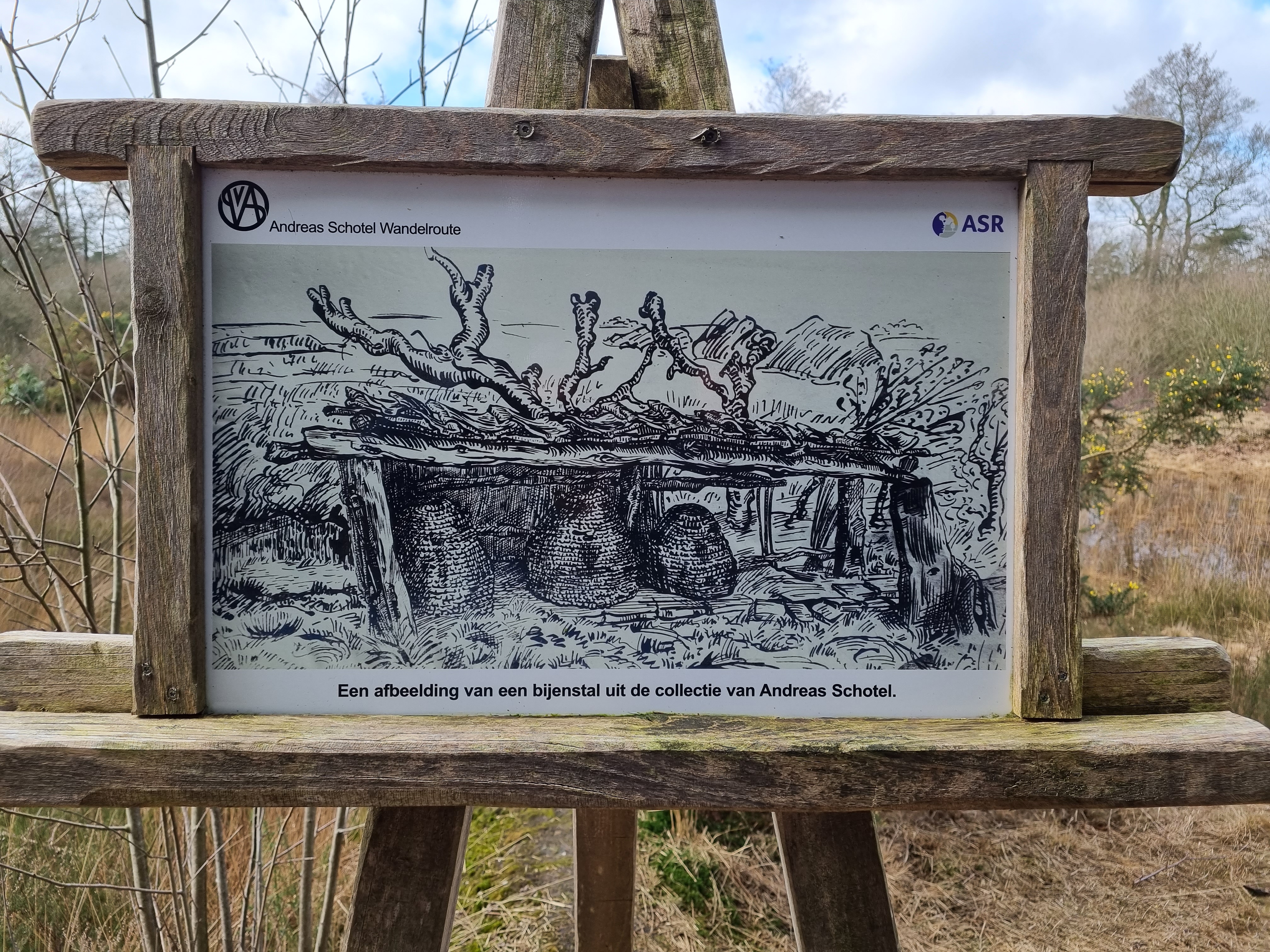
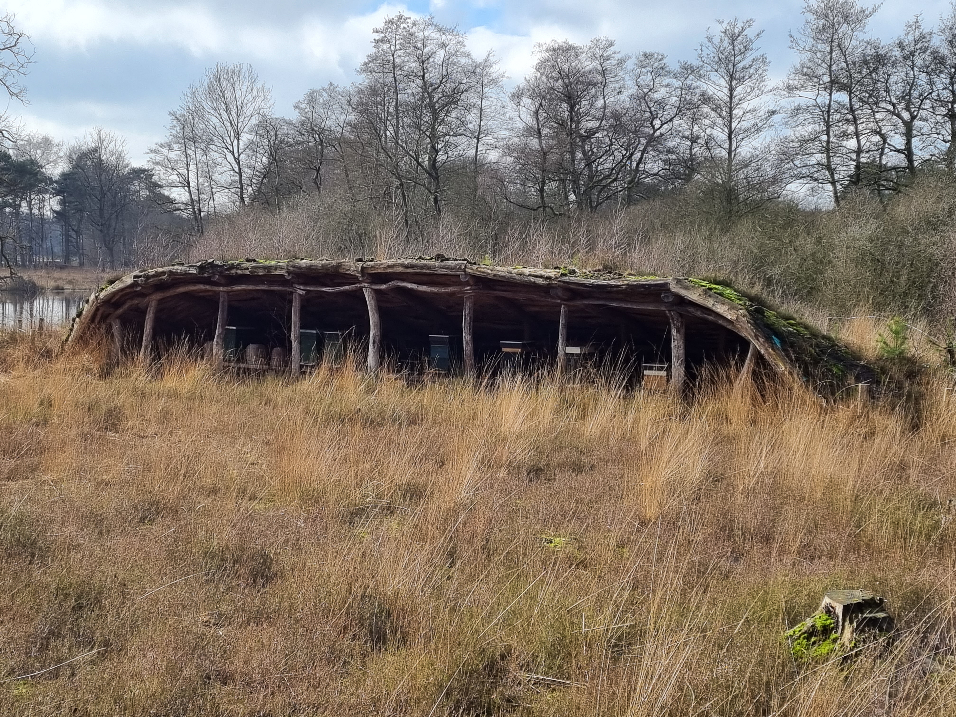
Our starting selfie is with the Horse and Plow by Andreas Schotel (https://www.andreasschotel.nl/wandelroute). We saw several ducks and swans swimming and diving along the water. The Medieval Beehives shown in the pictures were opened in April 2017
(Esbeek in de schijnwerpers – De Kempische Landgoederen). The Bathing Beauties are also by Andreas Schotel and are life-size, amazing to see at the water’s edge.


On Sunday, March 6th, we opted for a drive around the Dutch countryside in the province of South Holland and stopped for lunch at the Pannenkoekenboerderij en theehuis Ponthoeve in Vianen | Het Groene Hart


Thank You all for the Loopers selfie at the White Rock Pier and birthday wishes Jon posted on my Facebook, it is very much appreciated.
Hugs and till next time,
Karina & Jos

Great descriptions [and fun facts] to accompany sunny pix. Thx for assembling
LikeLike