

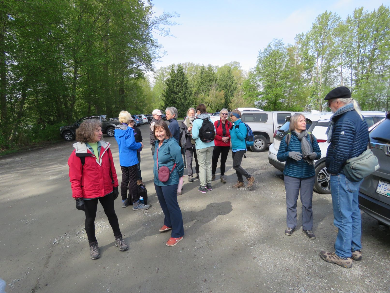
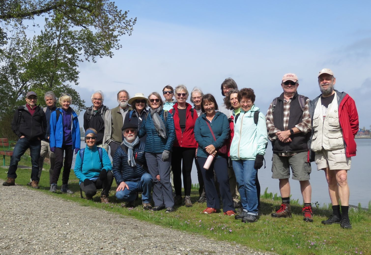
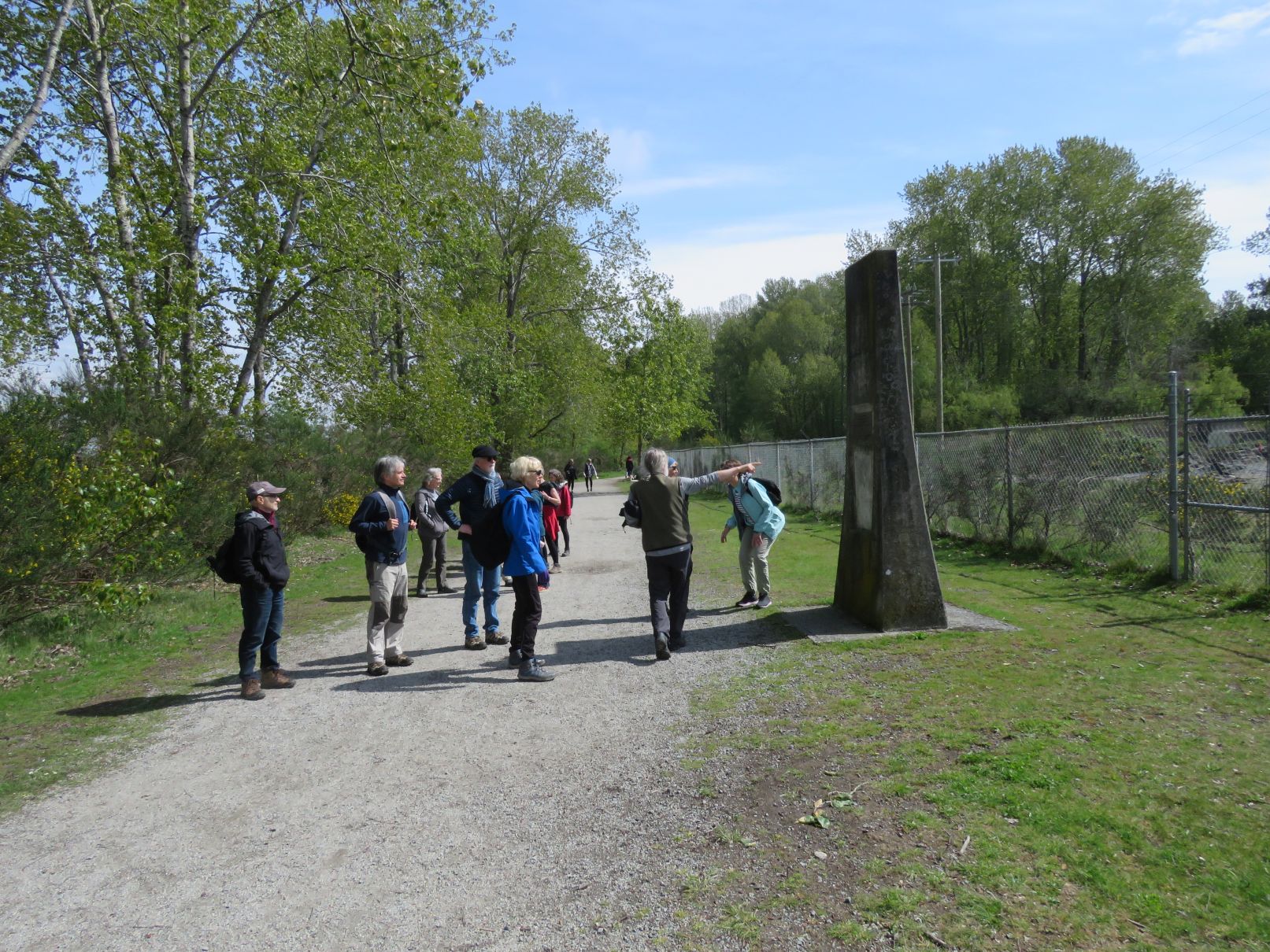
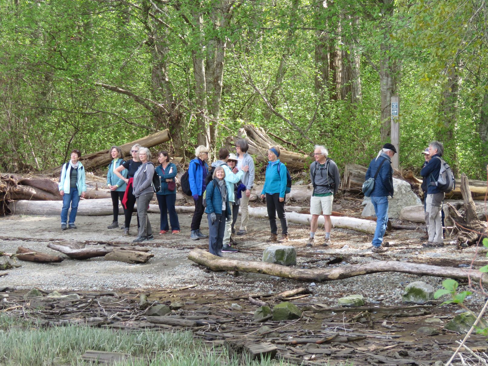
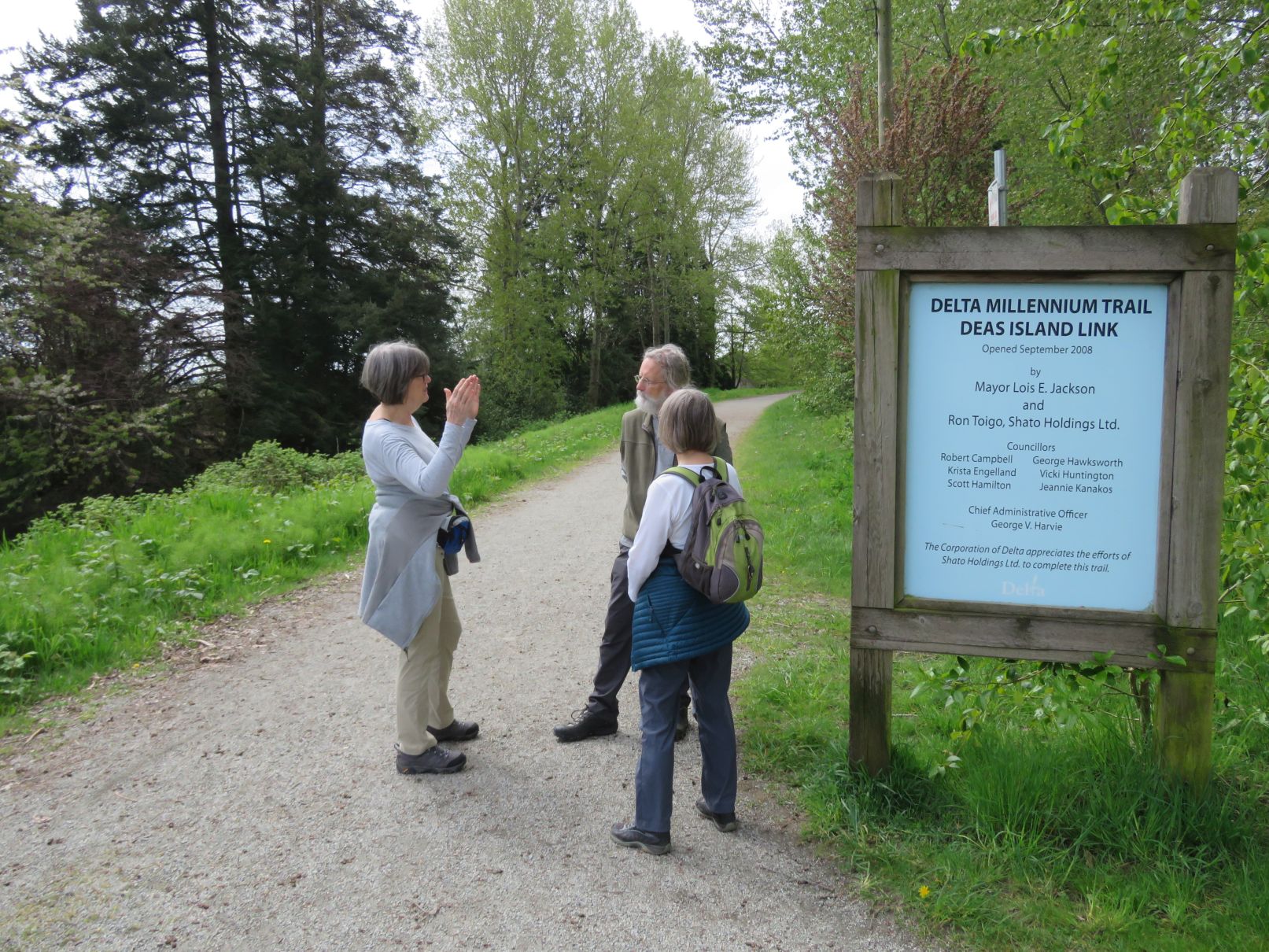
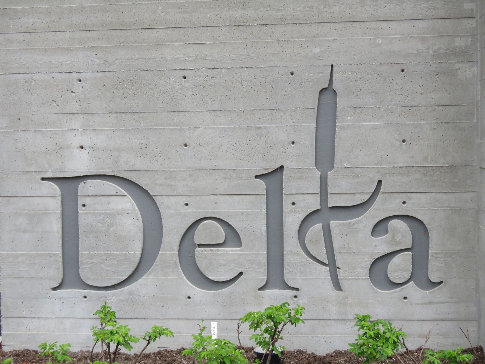
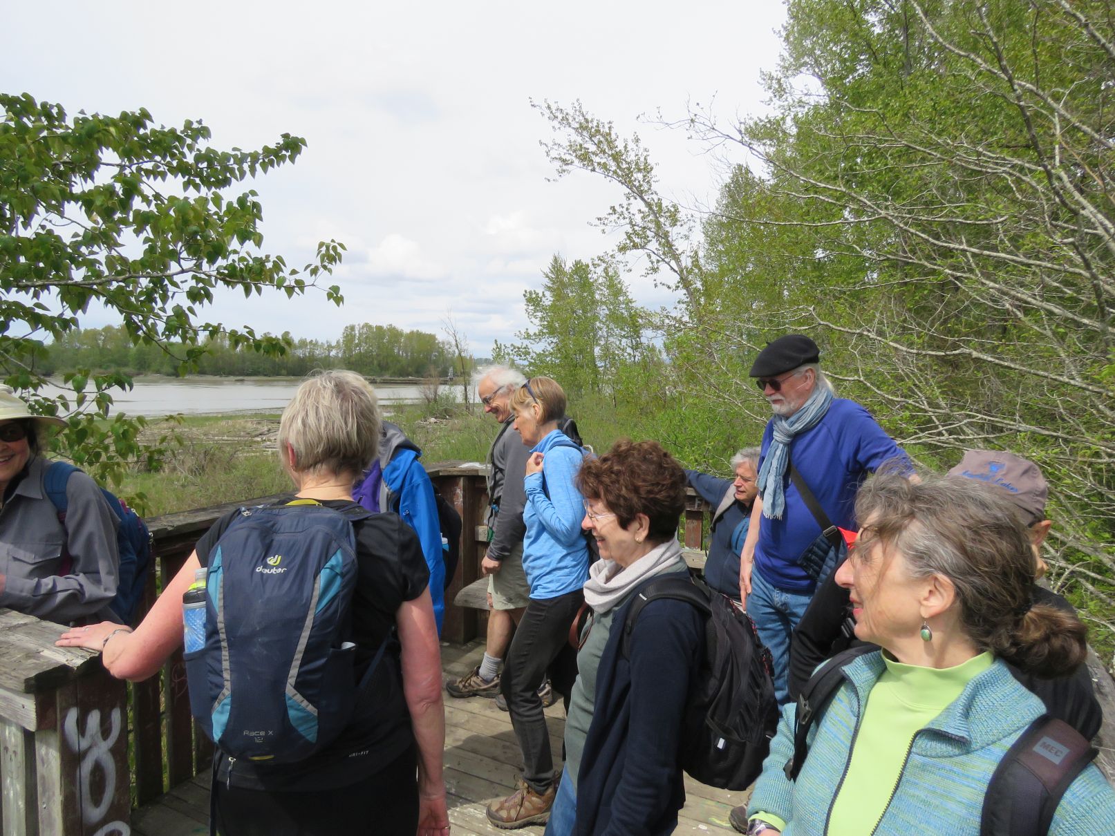
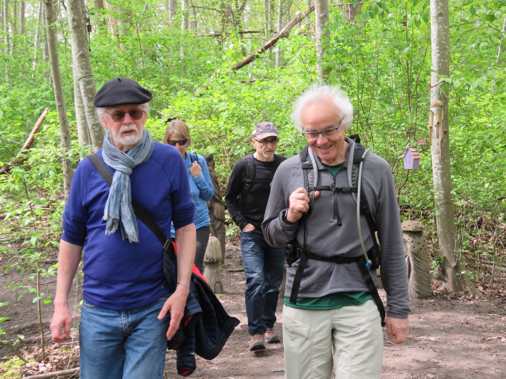
Eighteen Loopers met at the east end of Deas Island Regional Park, under somewhat cloudy skies. Our 10:30am start was delayed slightly as the west side contingent were forced to navigate their way through the Vancouver Marathon traffic re-routing.


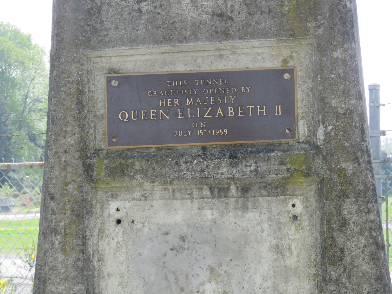
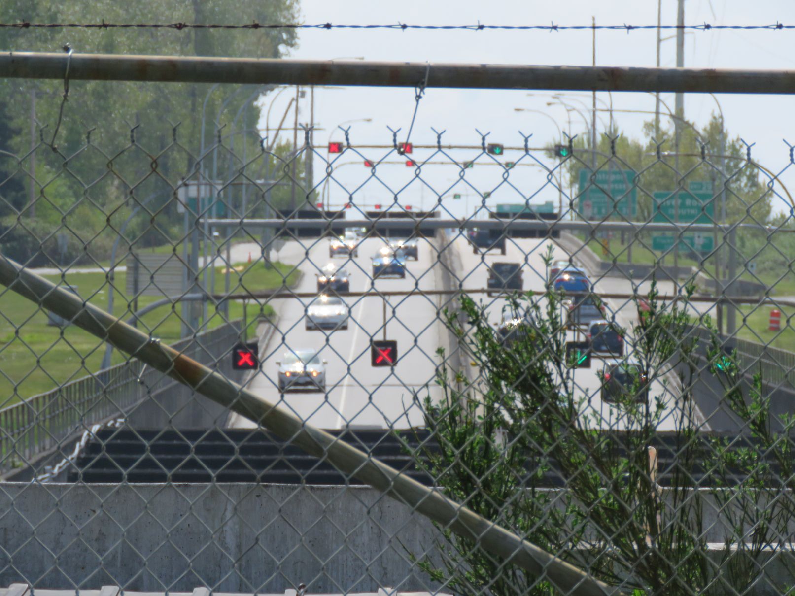
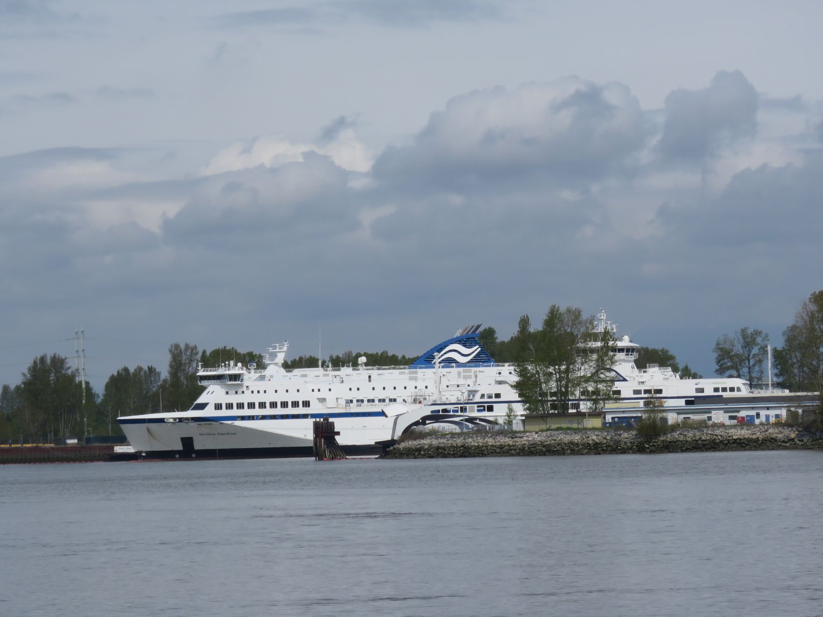
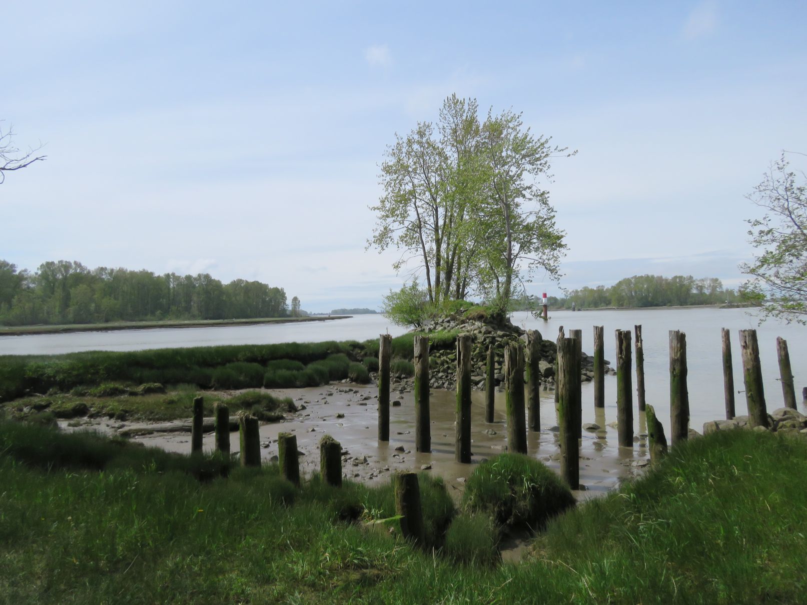
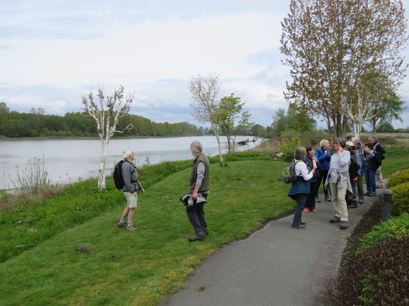
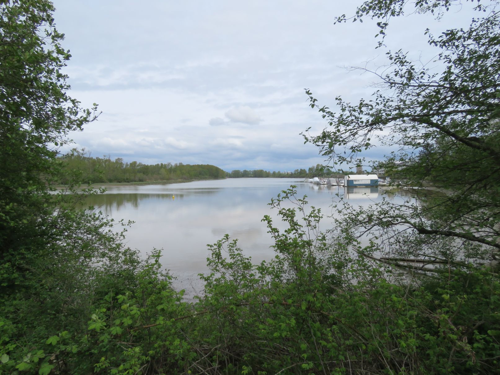
We initially headed to the west along the north side of the park, facing the south arm of the Fraser River. (That’s three directions in one sentence!). We crossed over the south portal of the George Massey Tunnel. (Fun fact: this is the only road tunnel in Canada below sea level.) There was a plaque commemorating the opening of the tunnel by Queen Elizabeth in 1959. (For history fans a brief video of the opening ceremonies can be seen at: https://www.youtube.com/watch?v=p0pWxQXqfAk.) To the south we could see traffic emerging from the tunnel, and to the north across the river was the BC Ferries yard with several ferries docked there.
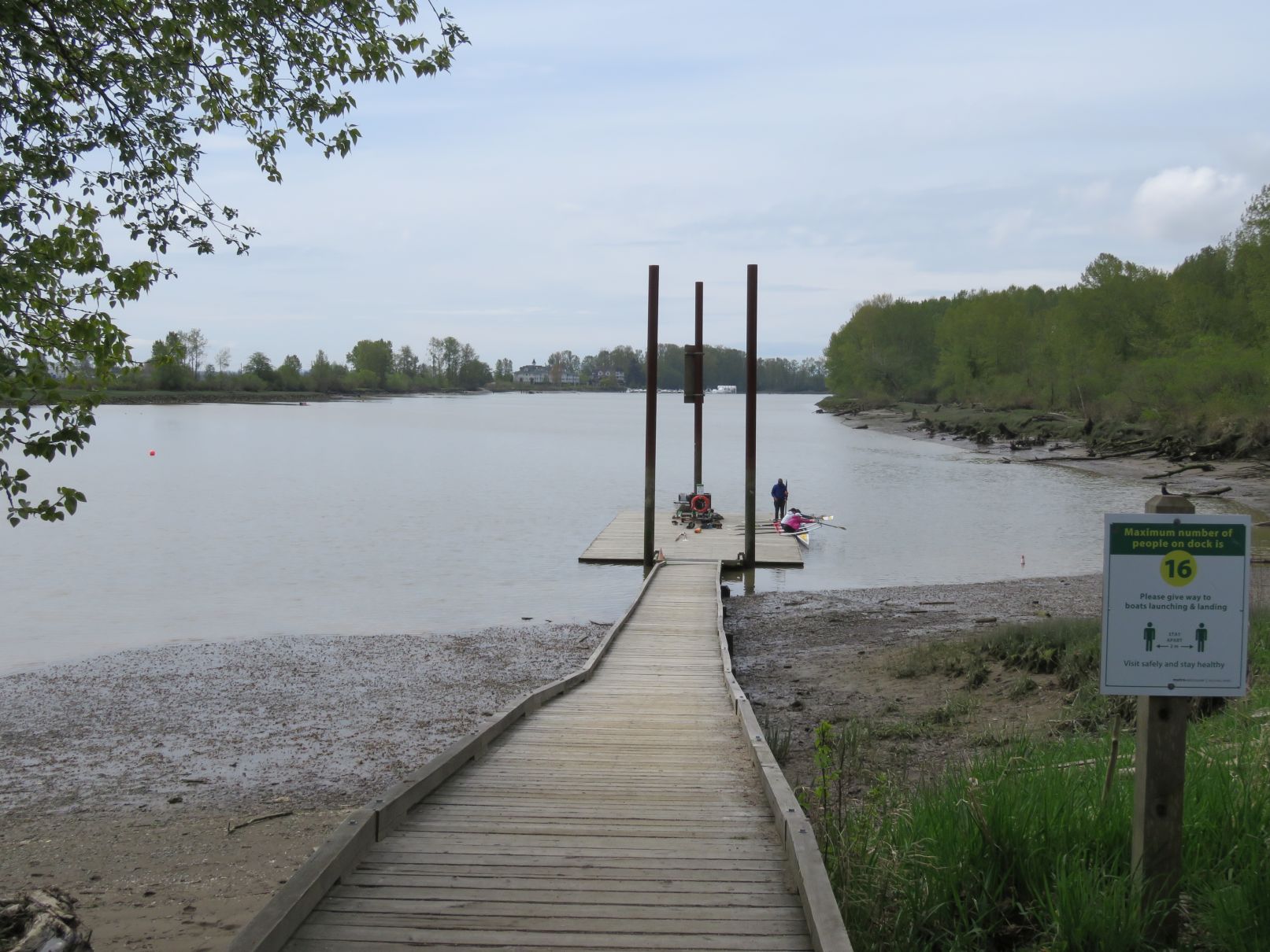
We continued to the western end of the island to a rocky beach, before returning to the eastern side. After once again crossing over the tunnel portal we continued east along the south side of the island. Just before reaching the east end where we started, we passed the Deas Rowing Club building and dock. Because it was a nice day a few folks were out paddling about.
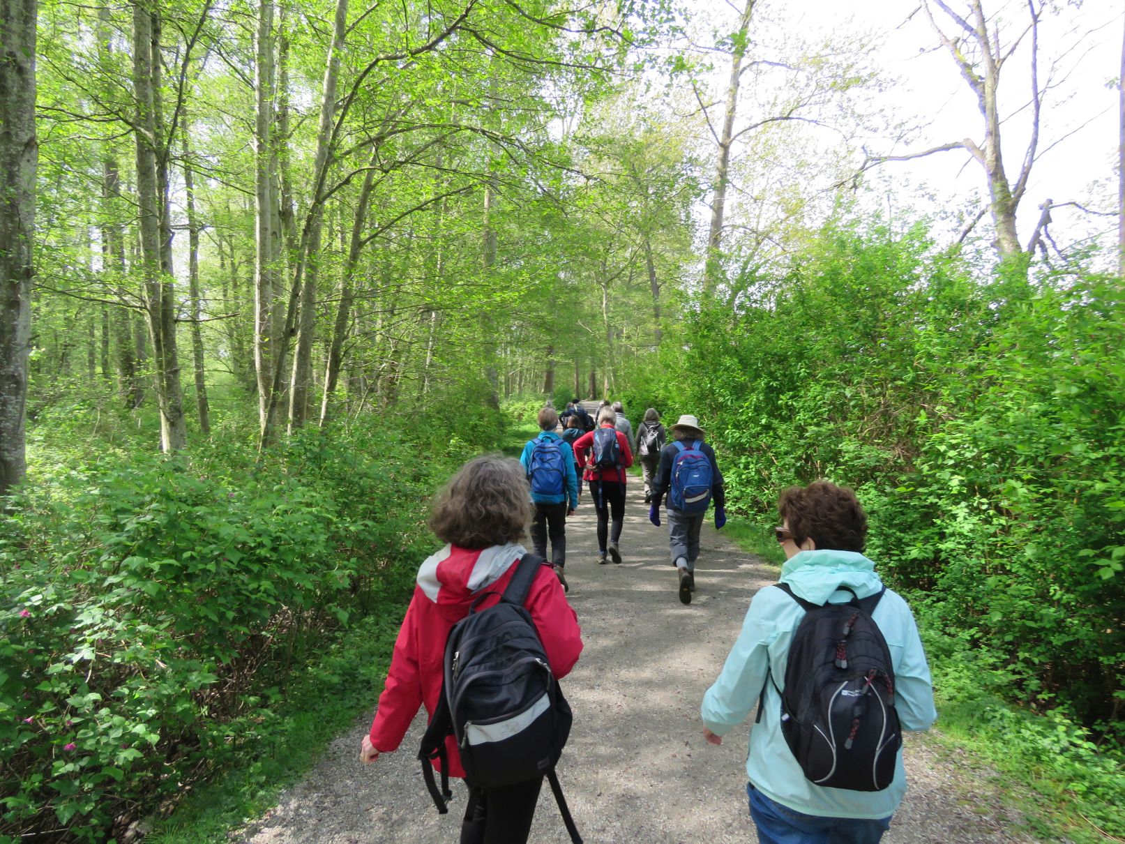
Passing through the parking lot, where several people took the opportunity to stash excess clothing items, we headed back west on the Delta Millennium Trail just south of the island. We passed by the RiverHouse Pub, where we would return later for afters. We had a brief pause while we helped to untangle two dogs whose leashes had become ensnarled, blocking the path.
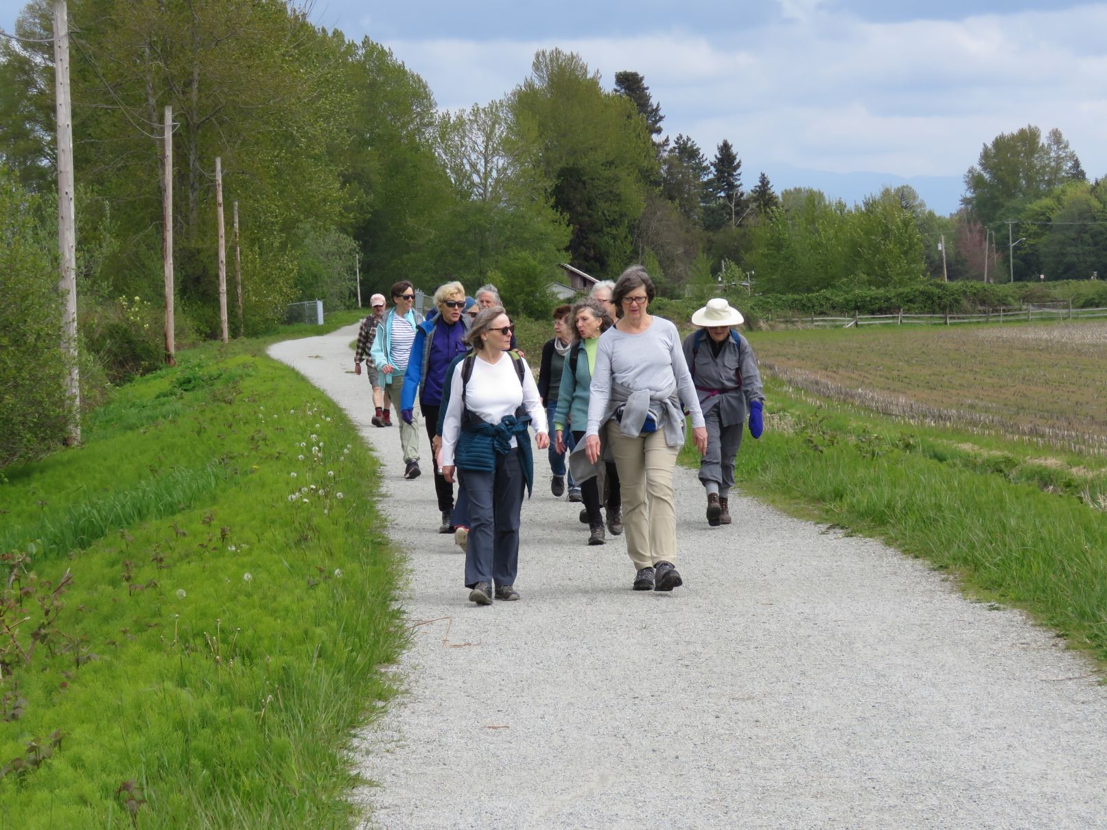
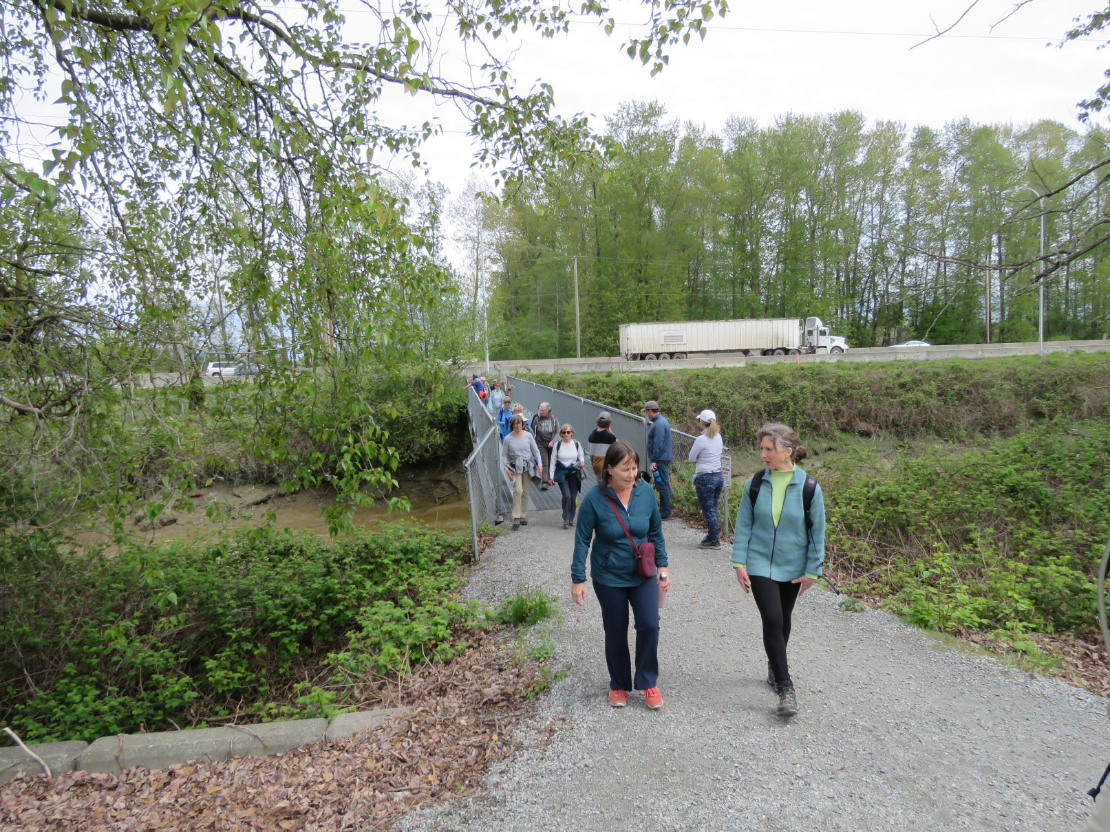
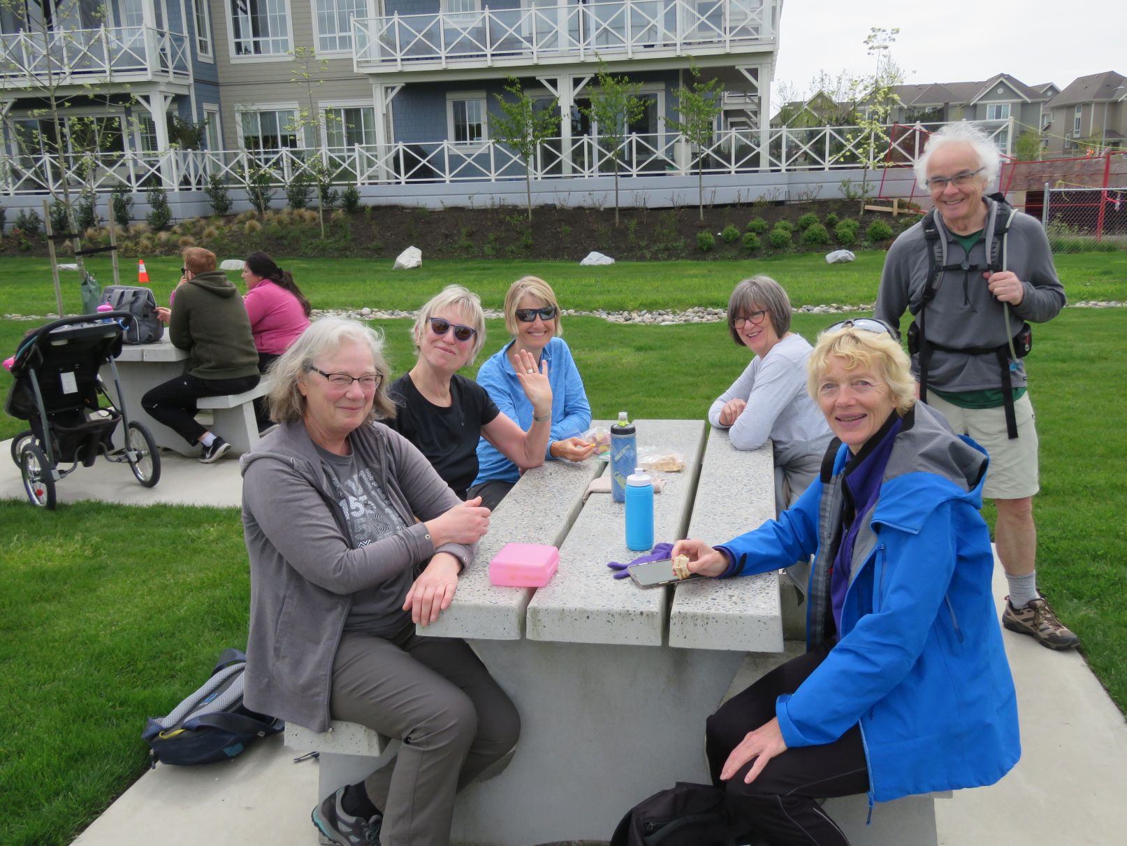
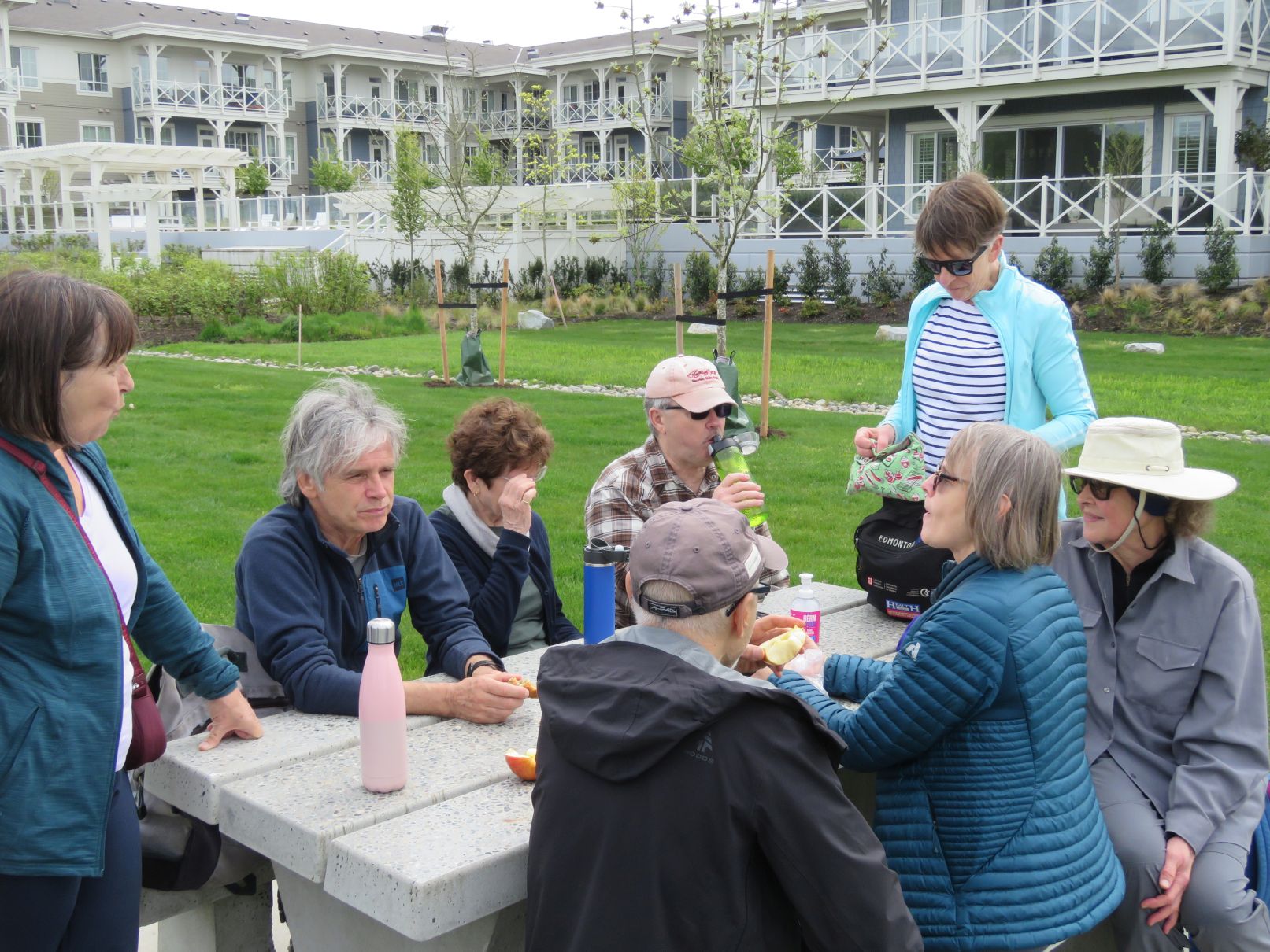
Continuing west, we ducked under highway 99 and emerged at the east end of Ladner. The trail continued along the riverfront past a marina. A little way along, a set of picnic tables provided a good spot for a snack break.
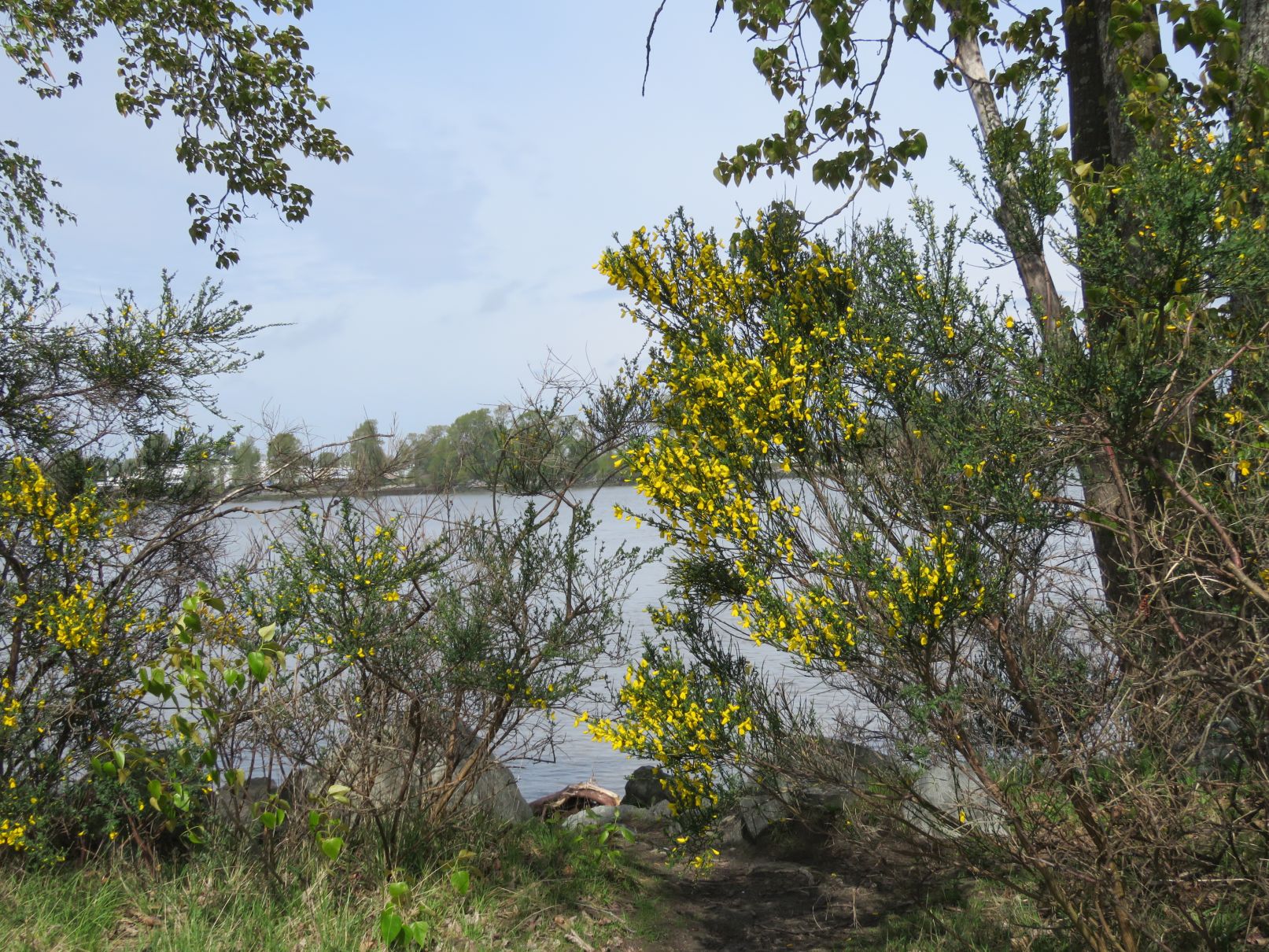
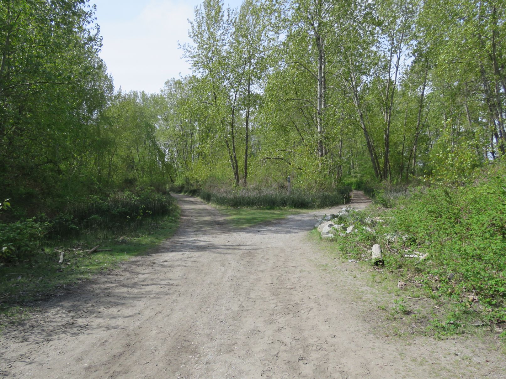
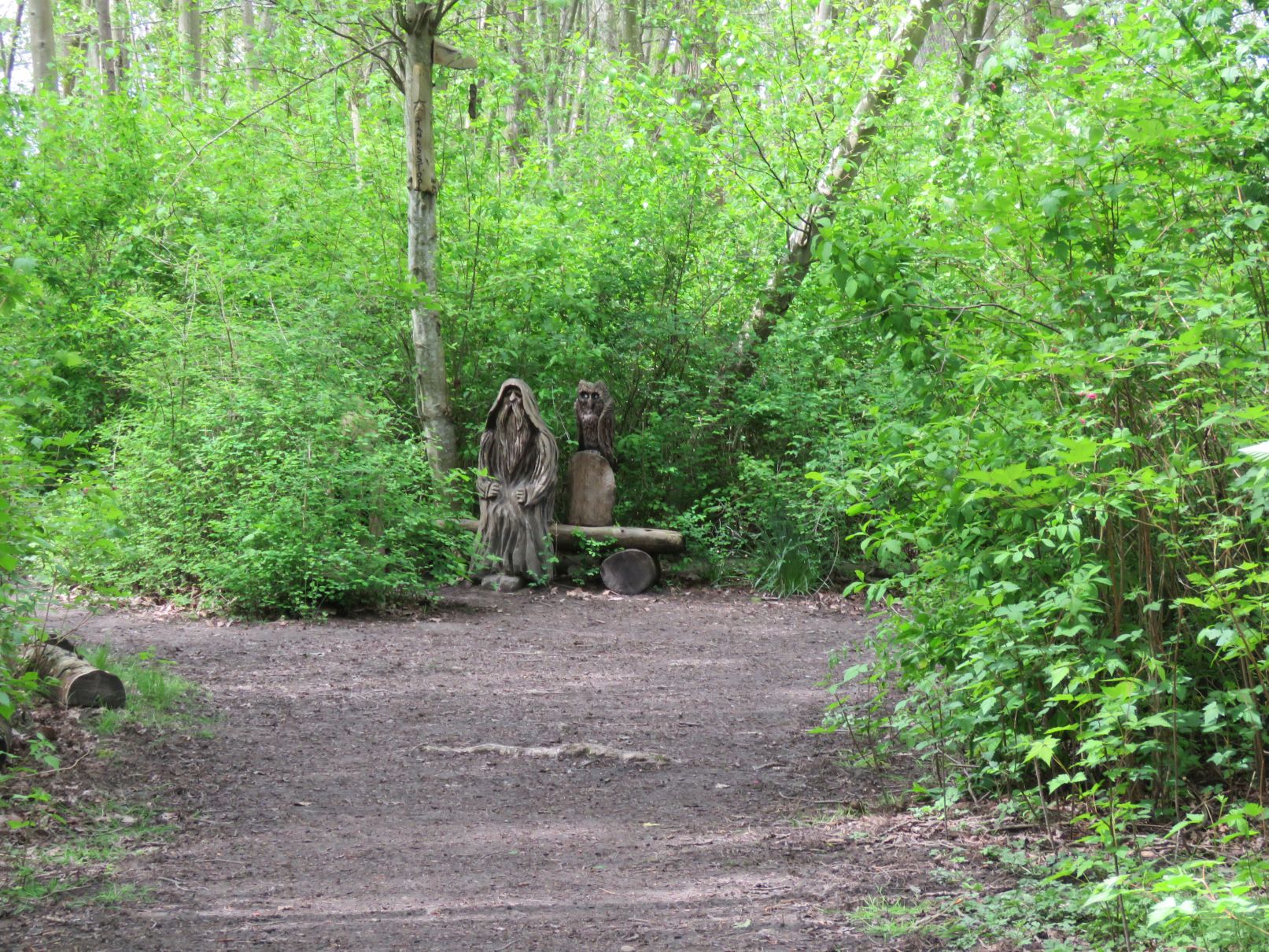
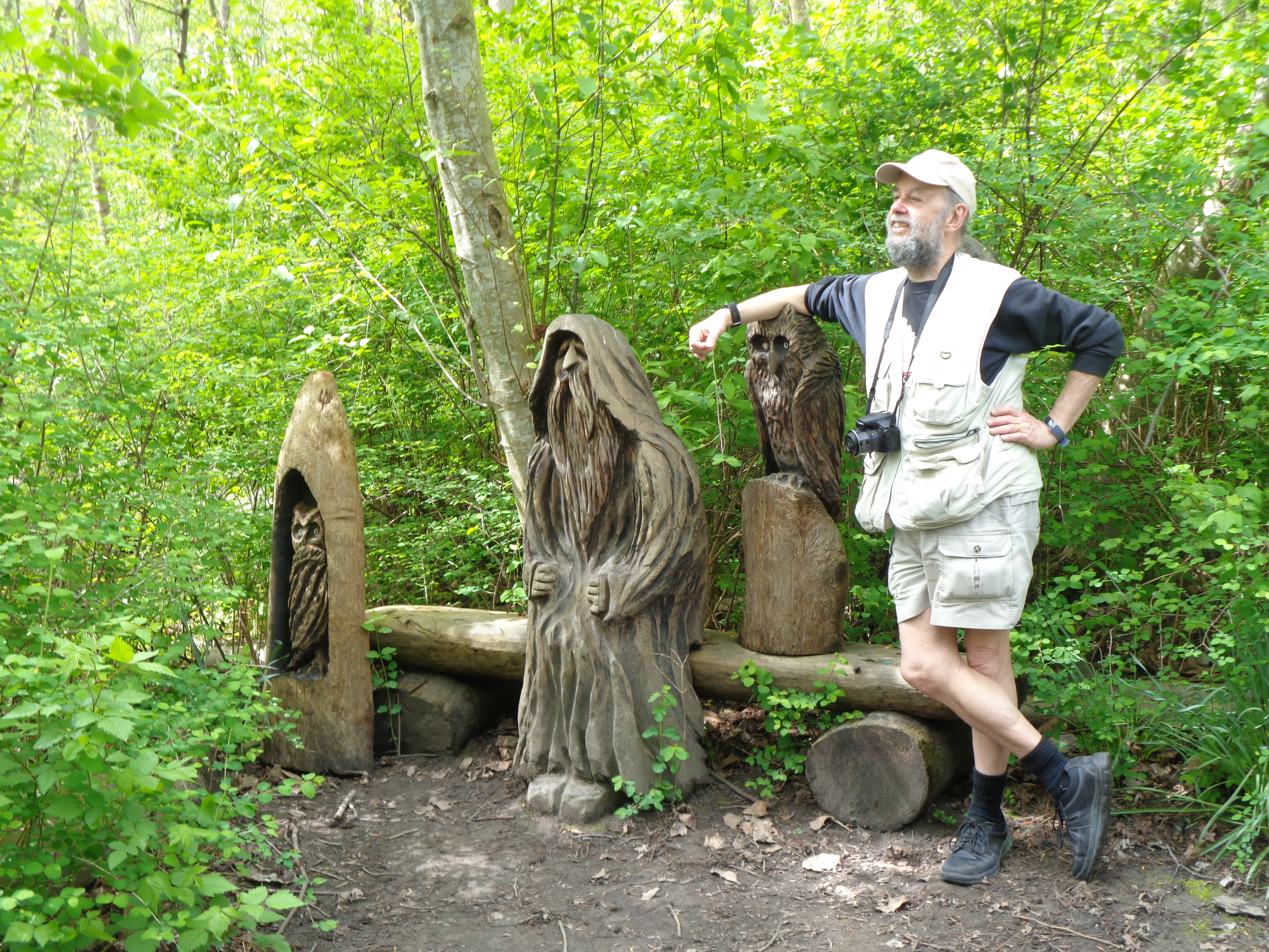
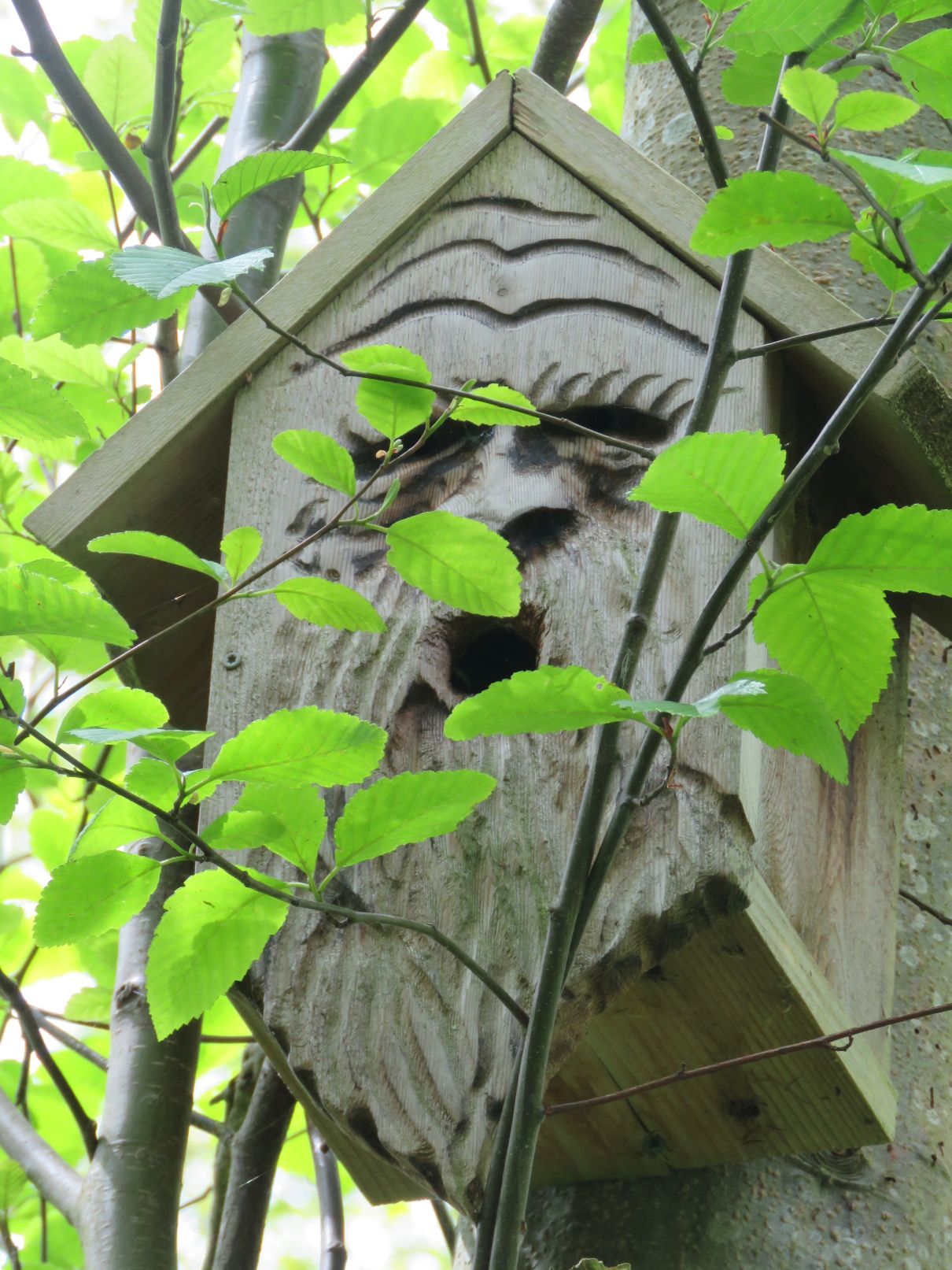
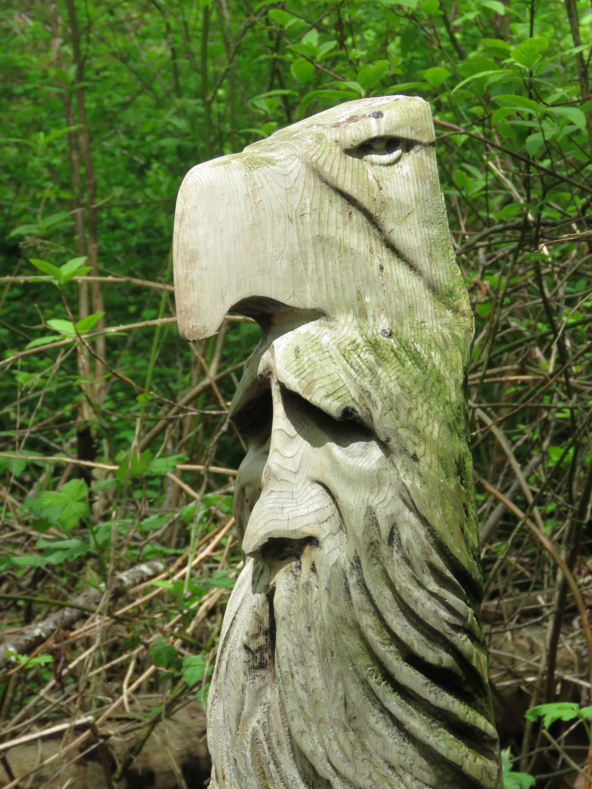
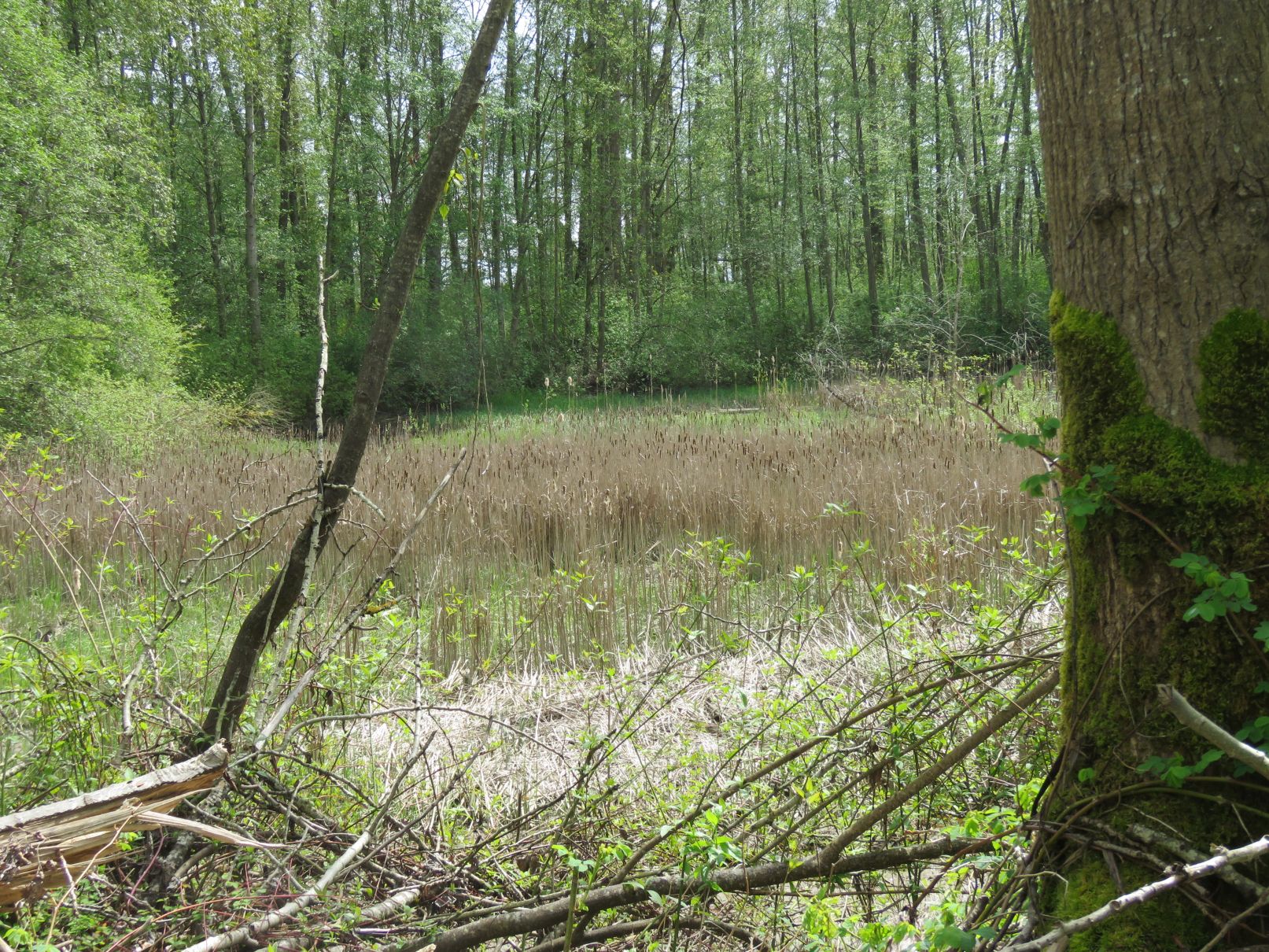
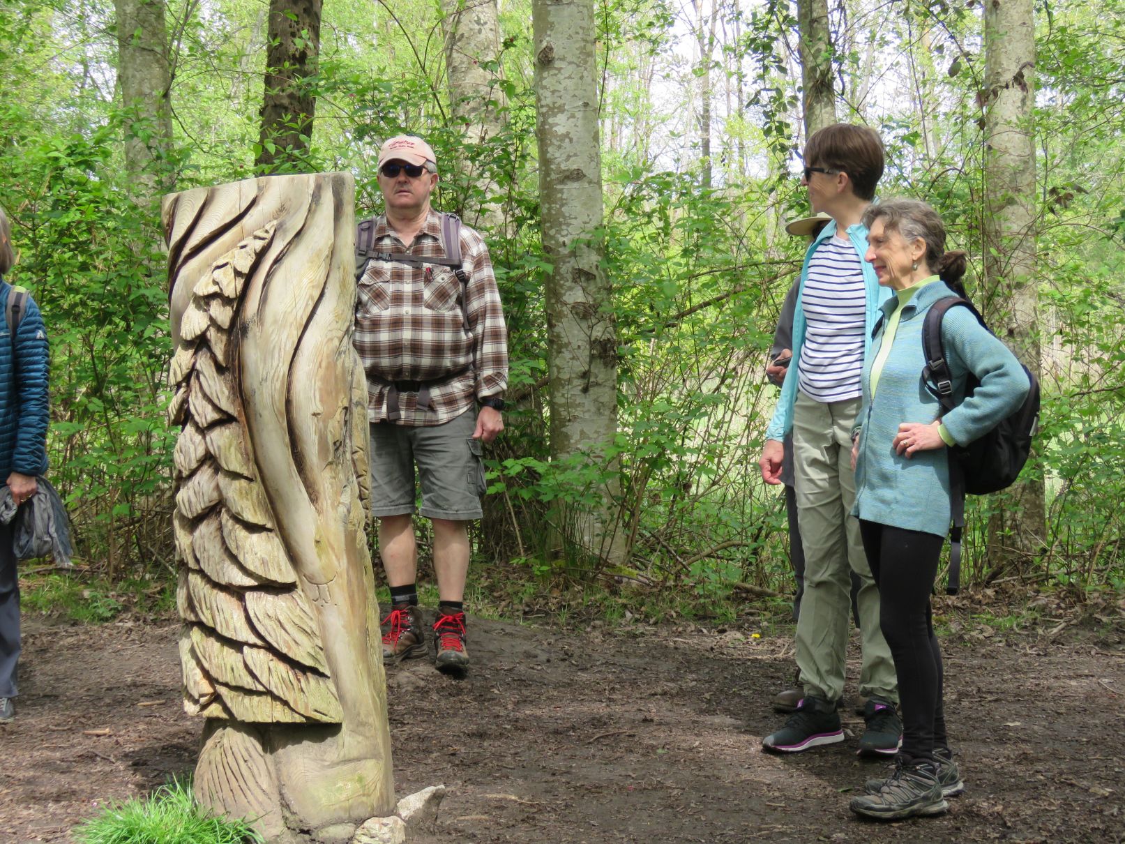
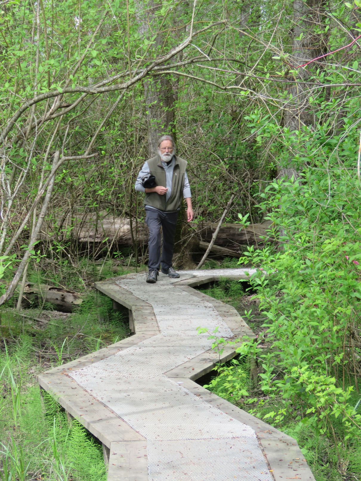
Continuing west we entered the Southland Marshes Wildlife Management Area. It provided a pleasant stroll along rustic trails and featured wooden sculptures at various spots along the trails. At the far end was a viewing platform that overlooked the marshland to the west.

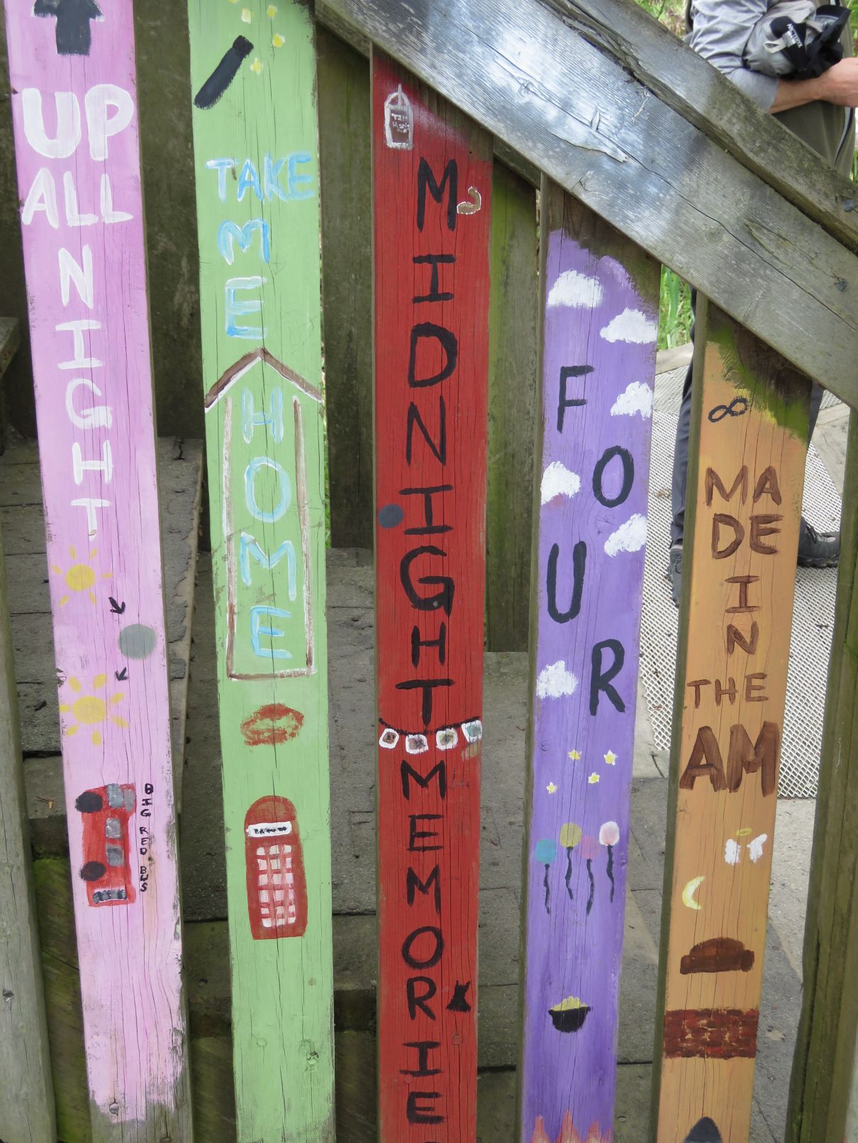
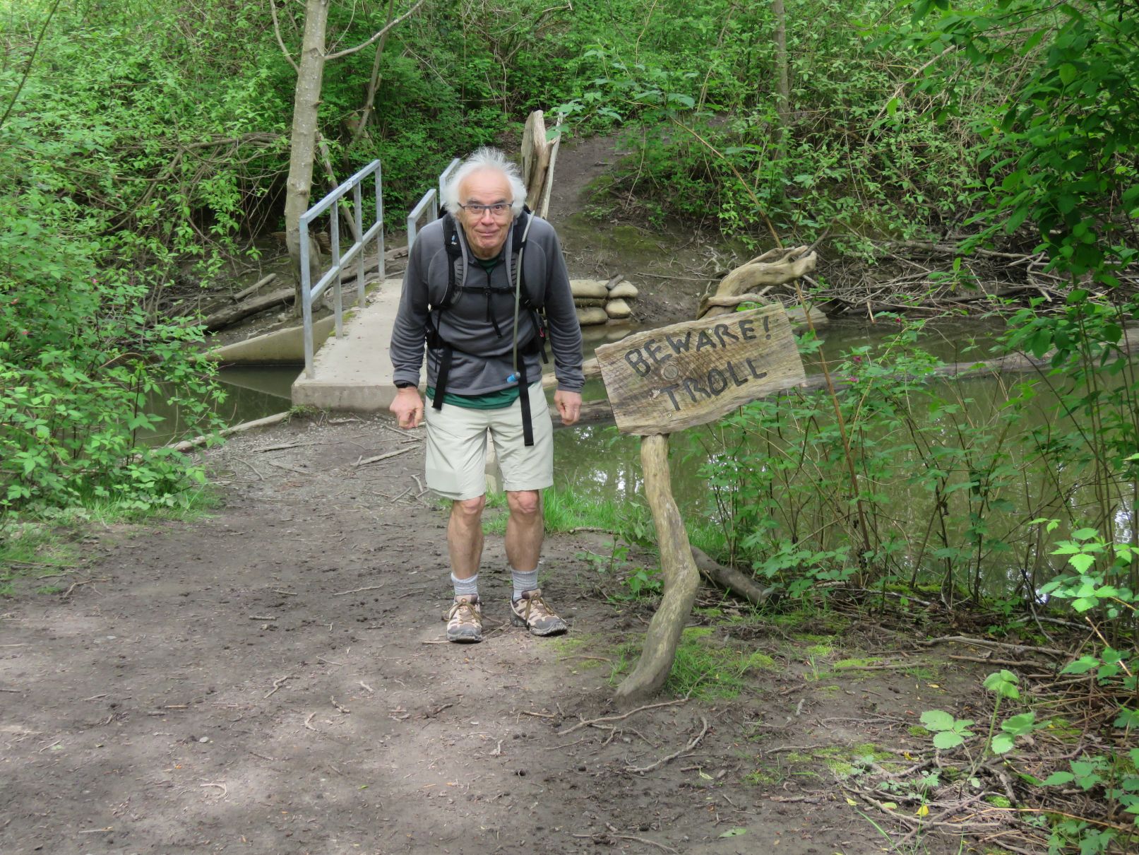
Completing the loop through the south side of the marsh, we passed by a Troll Bridge and a sign with a riddle. (Riddle in picture below – correct answer at the end of the blog.)


After emerging from the marsh loop, most of the Loopers chose to return via the way we had come since it was getting close to pub time, but a smaller group took a slightly longer route back. Continuing a little further south, we turned east along a short, wooded trail and then around a small golf course, making our way back to the freeway underpass.

We then rejoined the others at the RiverHouse for our post walk libations. It being a pleasant, relatively warm afternoon we were able to take advantage of the patio overlooking the river. From the pub it was about another kilometer and a half back to the cars. Total distance for the walk (for those who took the longer Ladner loop) was 15.7km.
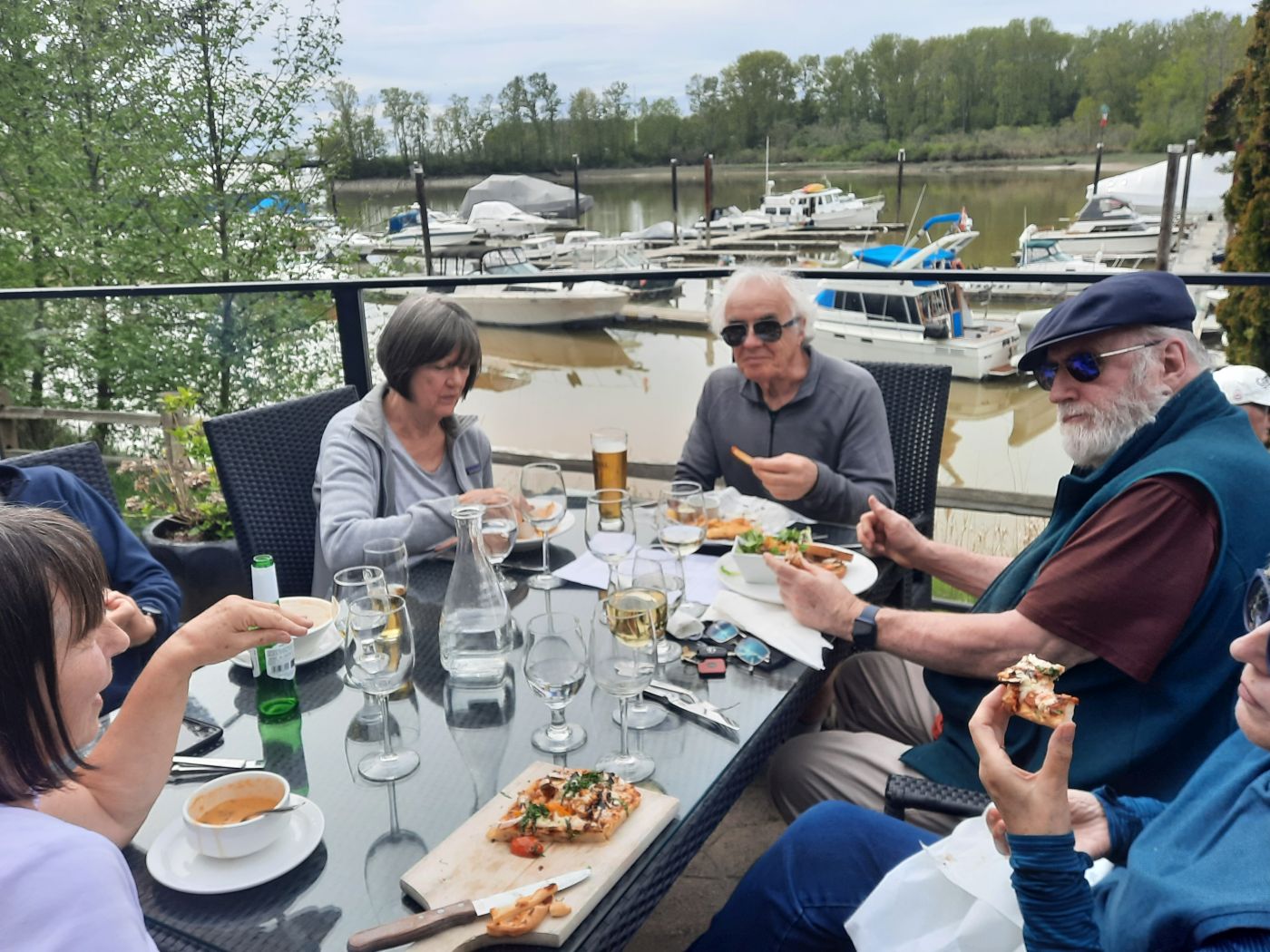

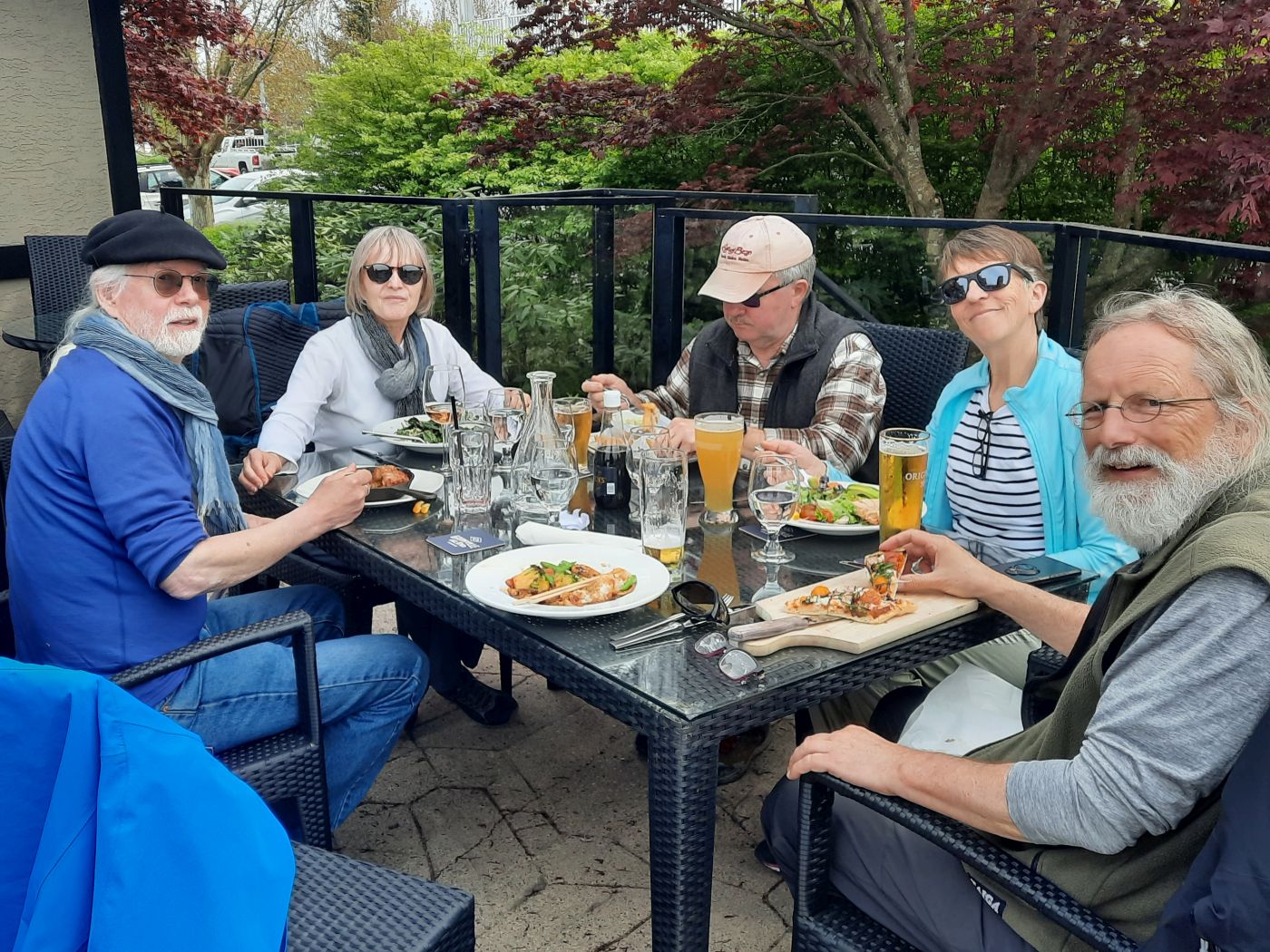
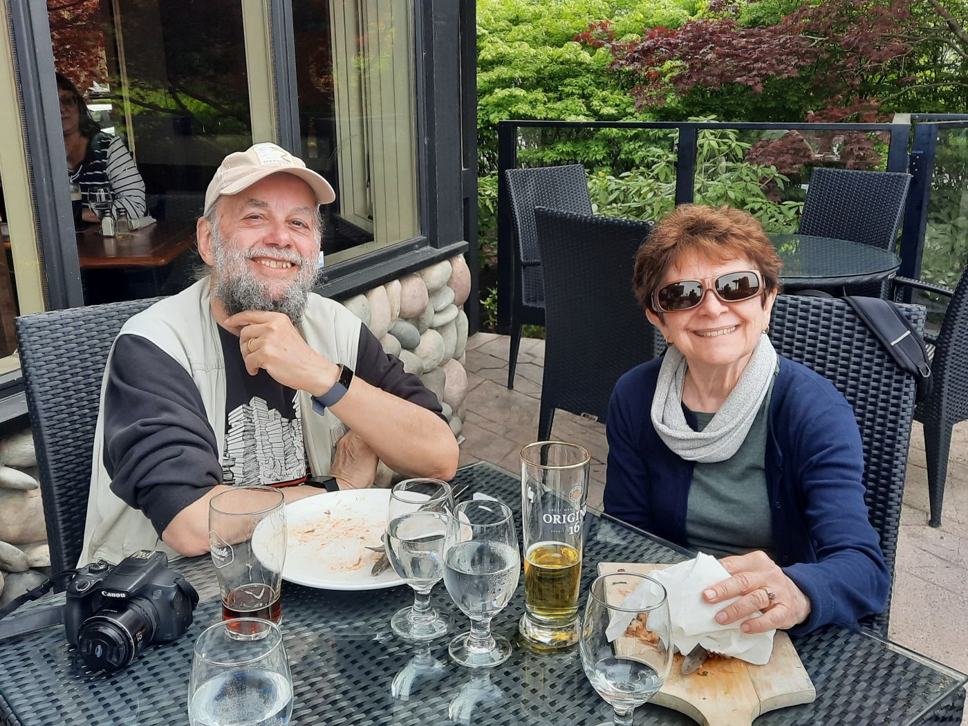
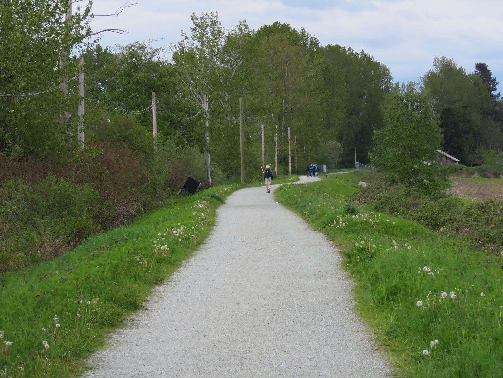

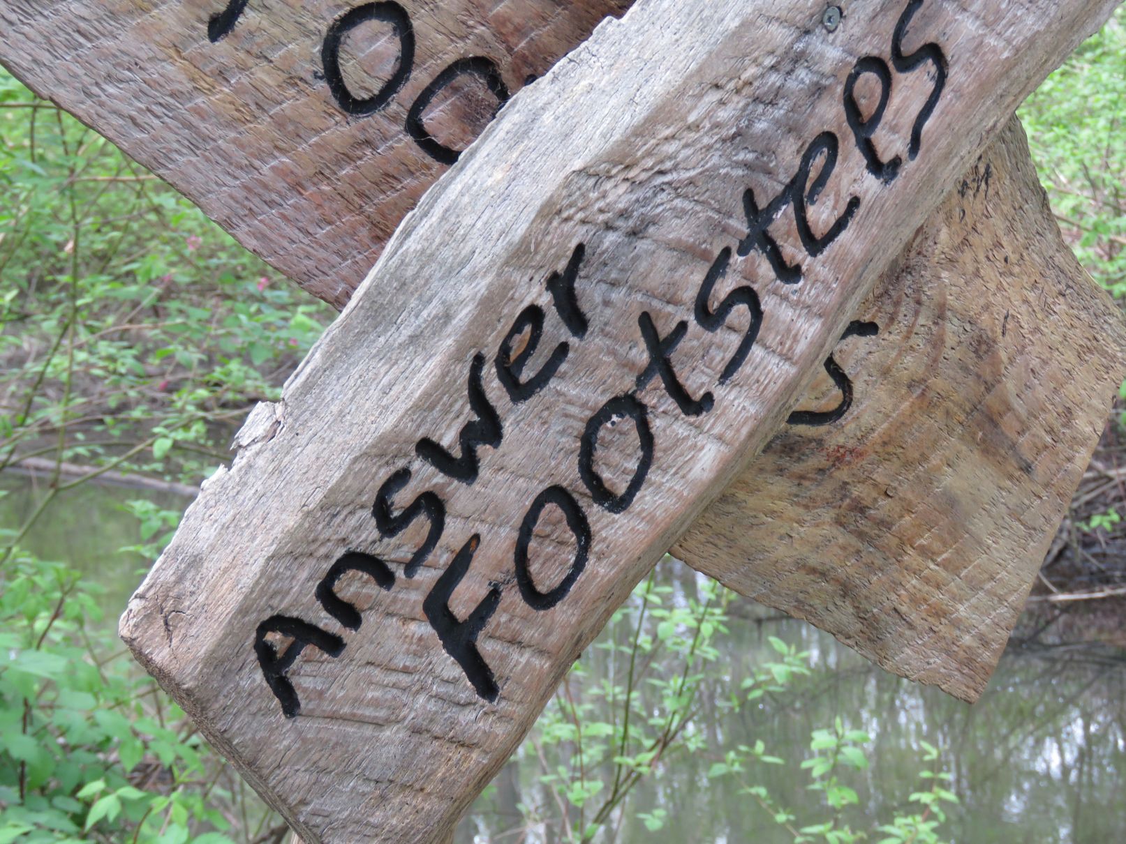
Photo credits to Jon, Dianne, Adrienne
