

Starting at the Minnekhada Lodge, the trailhead for Lodge Trail can be found by walking towards the washroom building and then turning left. Lodge Trail is a 1.7km loop trail that is well-maintained and marked with yellow blazes. The trail is mostly flat and is surrounded by lush greenery, tall trees, and a few wooden bridges that cross over small streams.
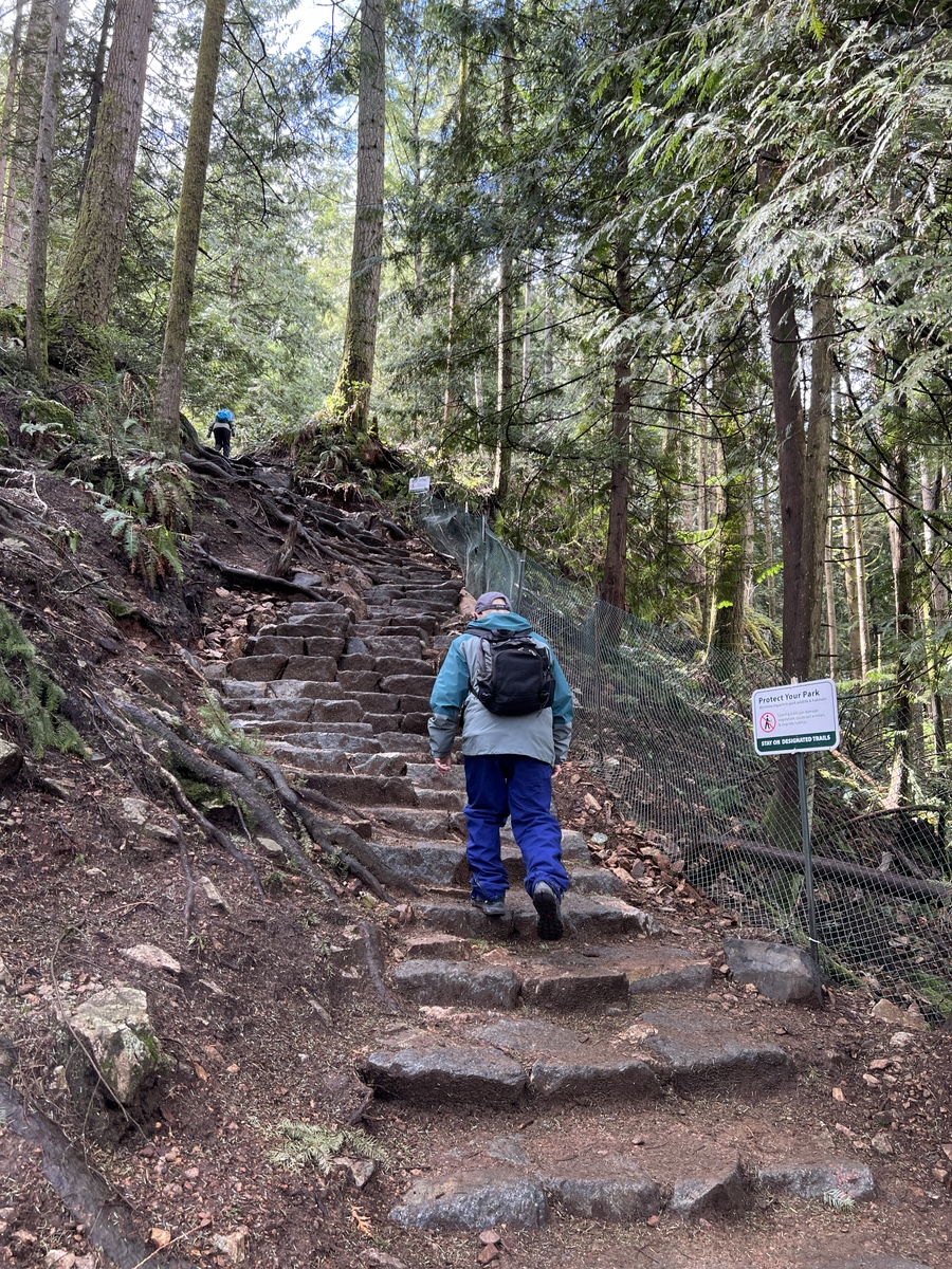
After about 20 minutes on Lodge Trail, you will arrive at the junction where the trail splits into two. Here, you will want to take the right trail to get onto Mid-Marsh Trail. This section of the hike is a bit more challenging as it involves some steep uphill sections. The trail takes you through a beautiful forested area and offers some stunning views of the surrounding landscape.
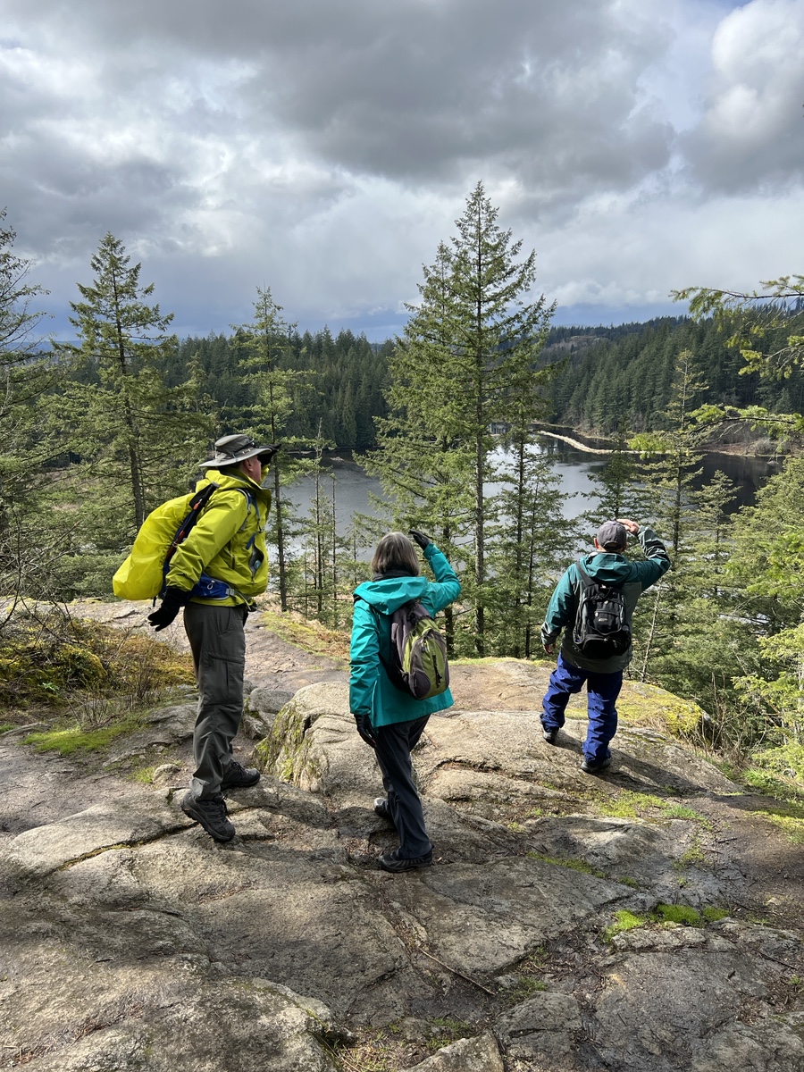
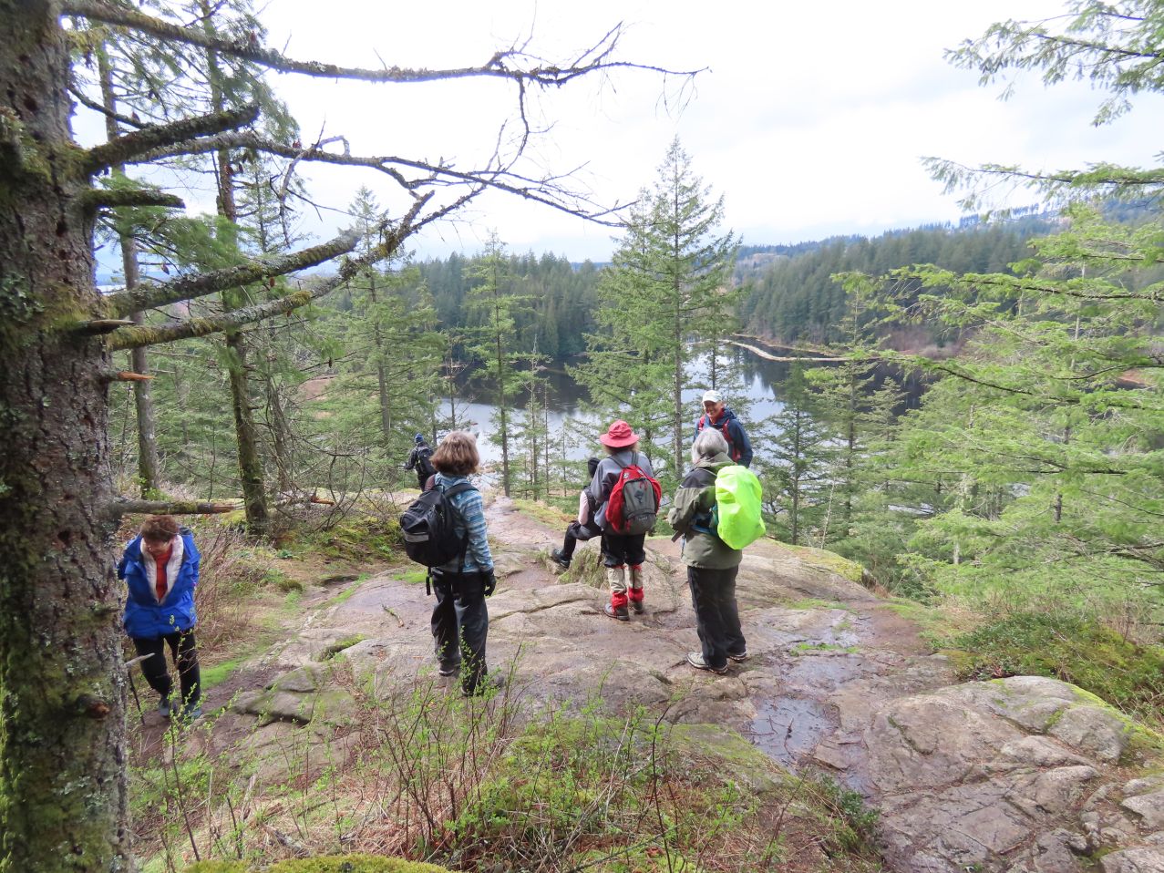
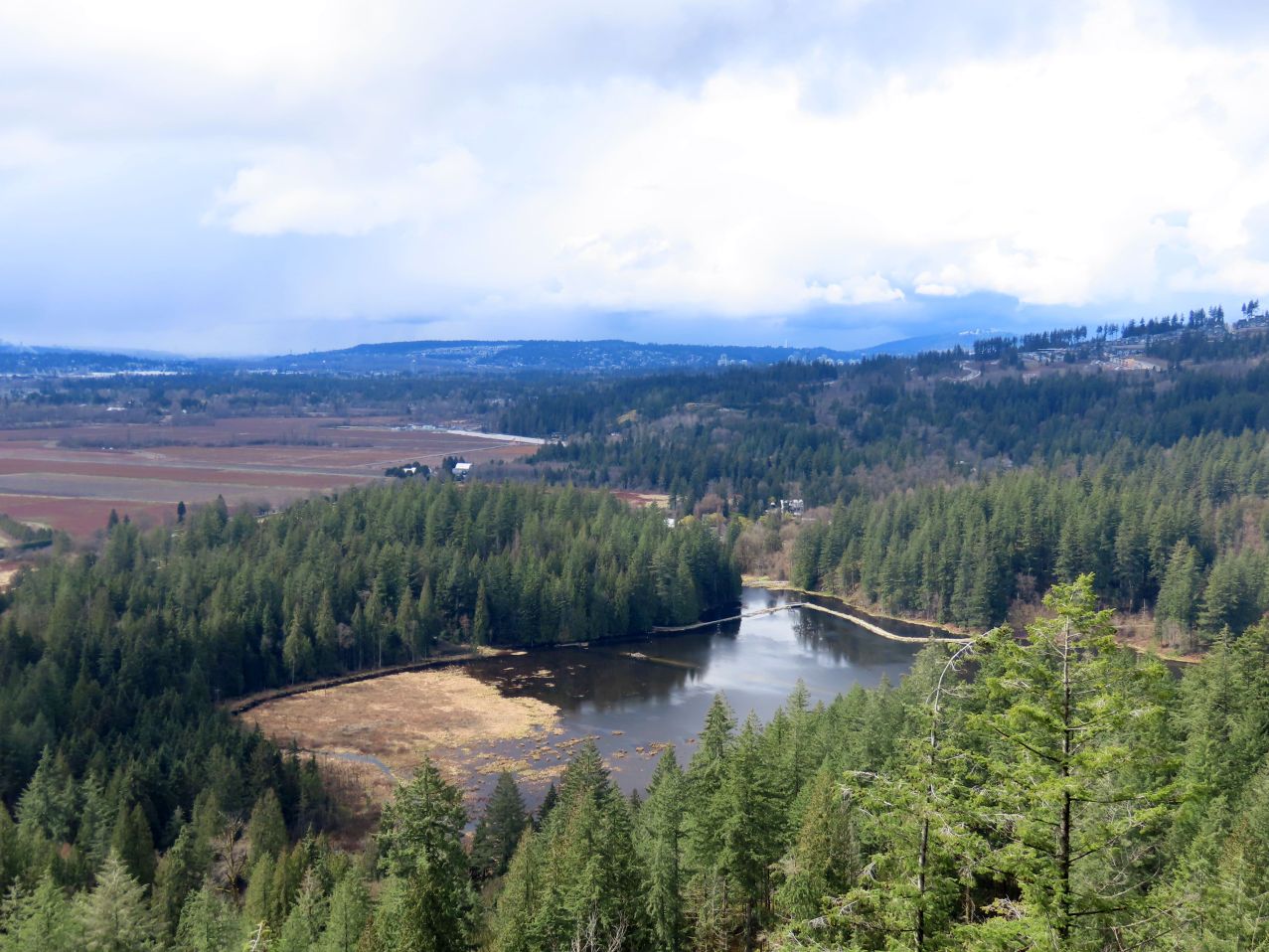
After about 1km on Mid-Marsh Trail, you will reach the Low Knoll viewpoint. This is a perfect spot to take a break and enjoy the beautiful view of the Pitt River and the surrounding mountains. From here, you can continue along the trail to reach the High Knoll.
The High Knoll is the highest point in Minnekhada Park and offers panoramic views of the surrounding landscape. To get to the High Knoll, you will need to hike for another 15-20 minutes along Mid-Marsh Trail. The trail up to the High Knoll is steep, but the views are definitely worth it.
OK, that’s what ChatGPT says! The following is human-generated:
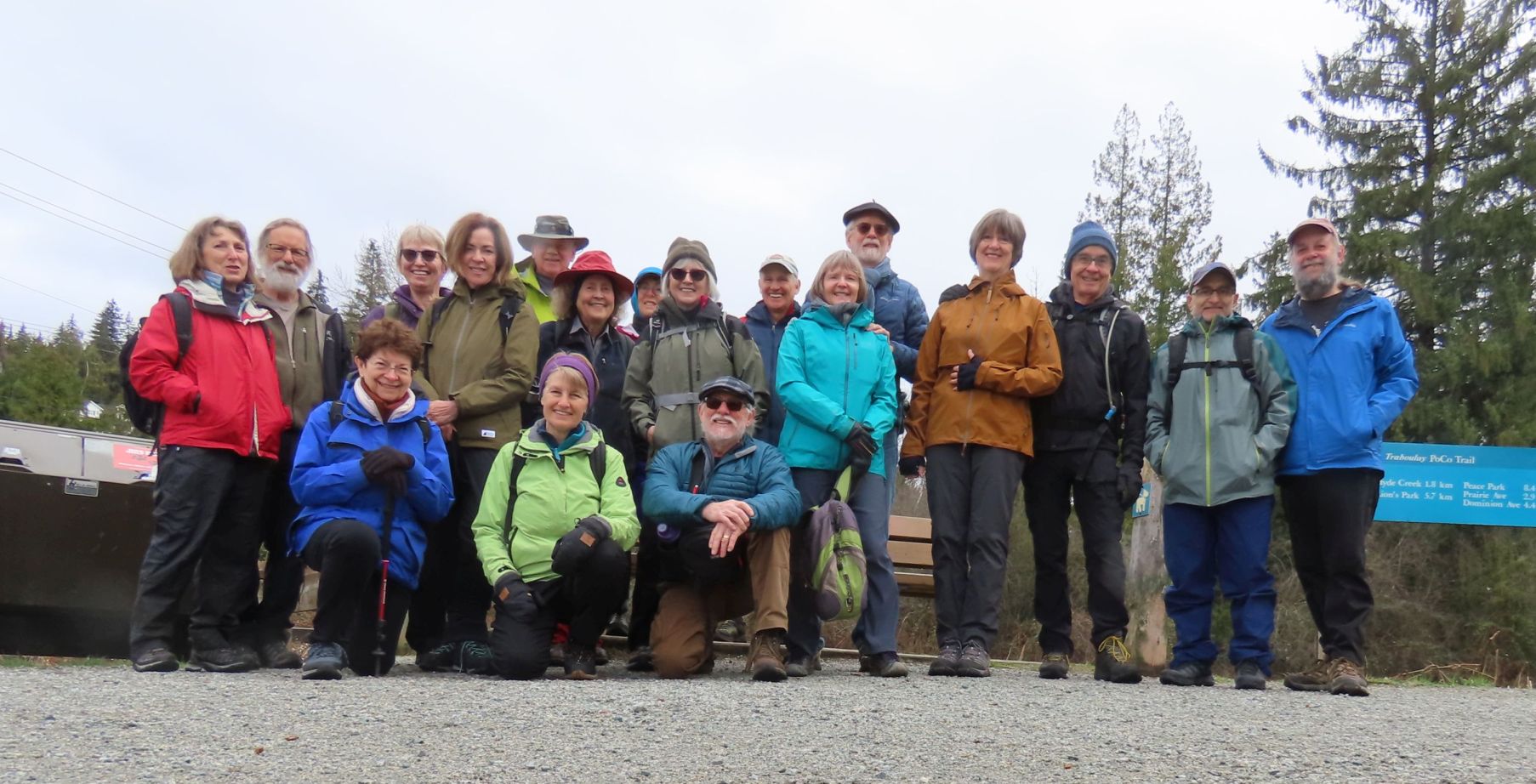
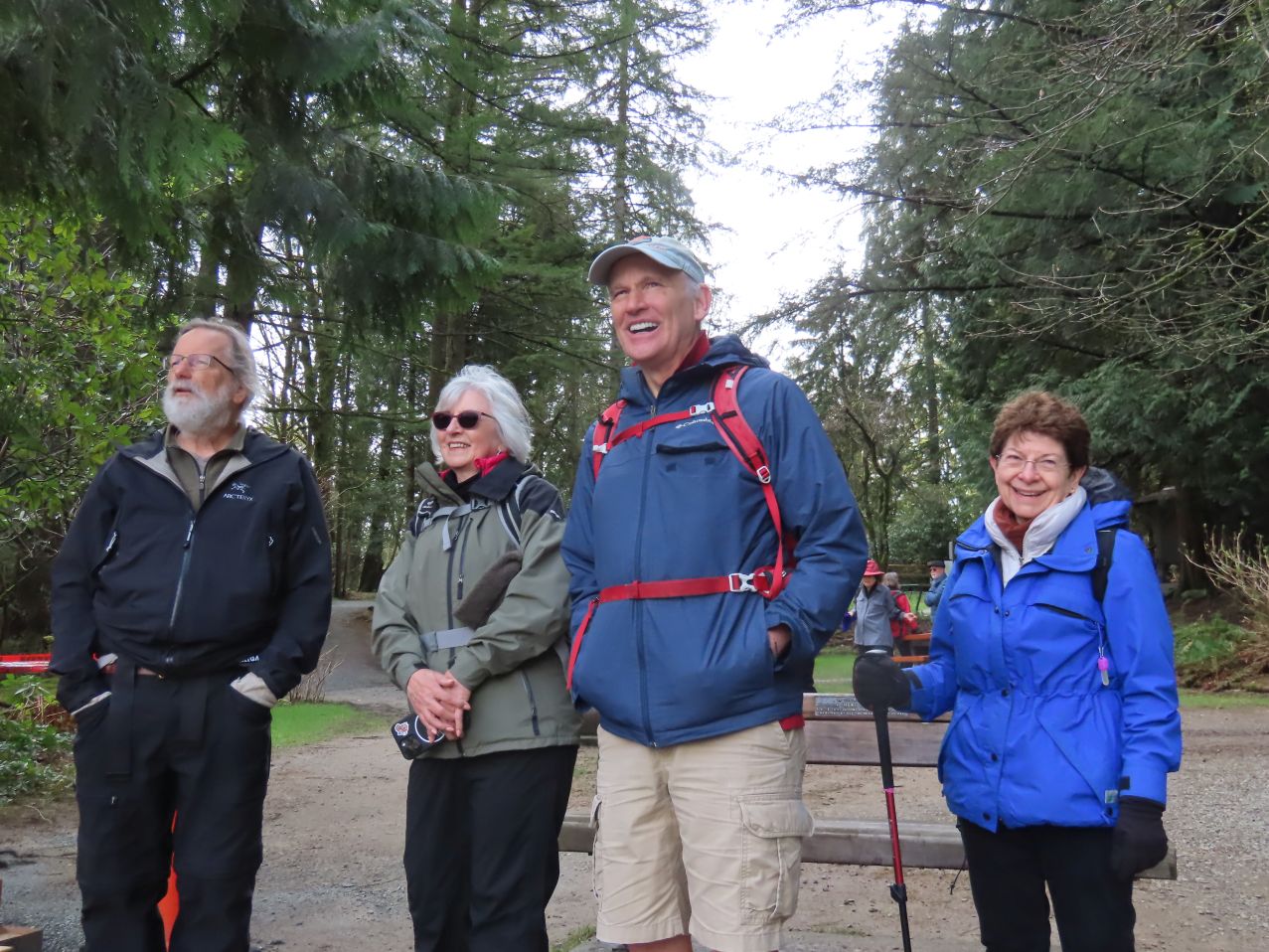
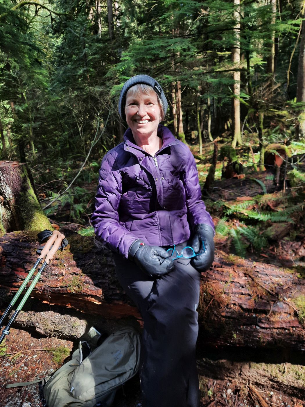
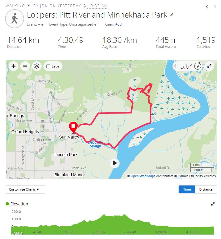
Eighteen of us met at the corner of Cedar Drive and Victoria Drive in Port Coquitlam. Gordon was the last to arrive, swooping in at 10:29:58 (approximately). (Gordon also distinguished himself by wearing shorts, whereas the rest of us were prepared for wet weather.)
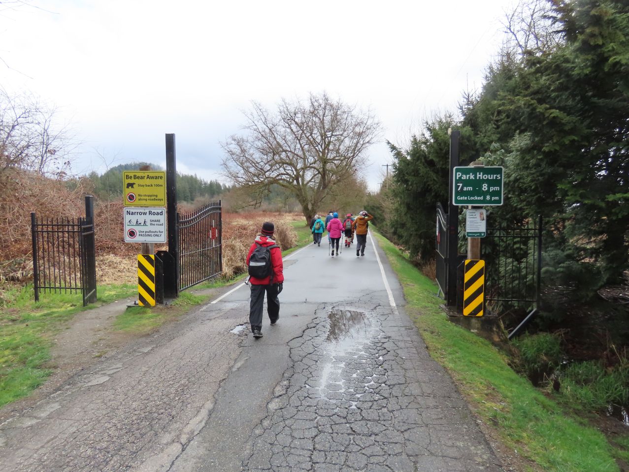
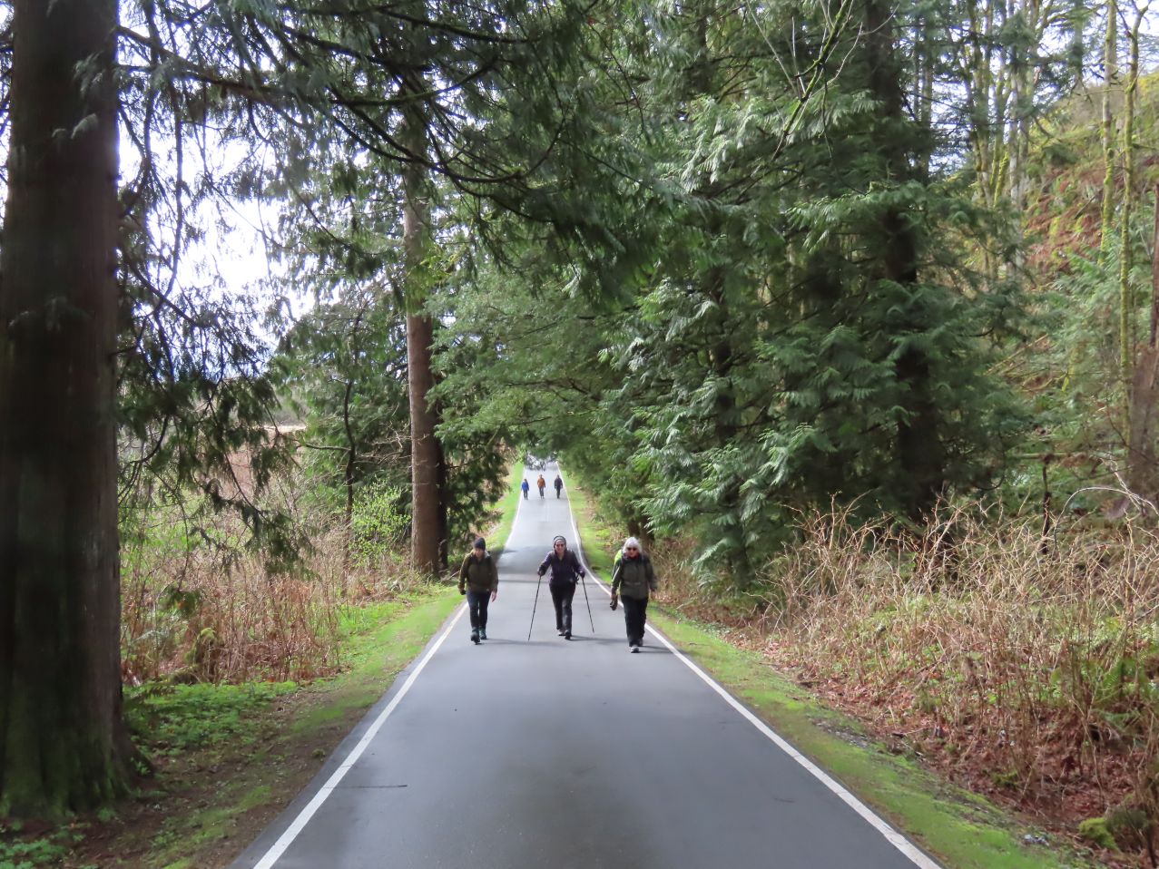
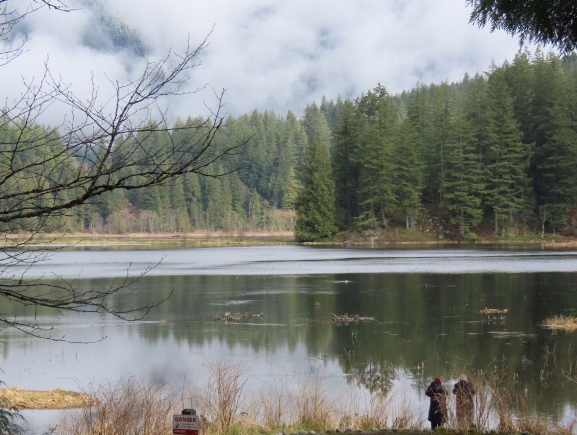
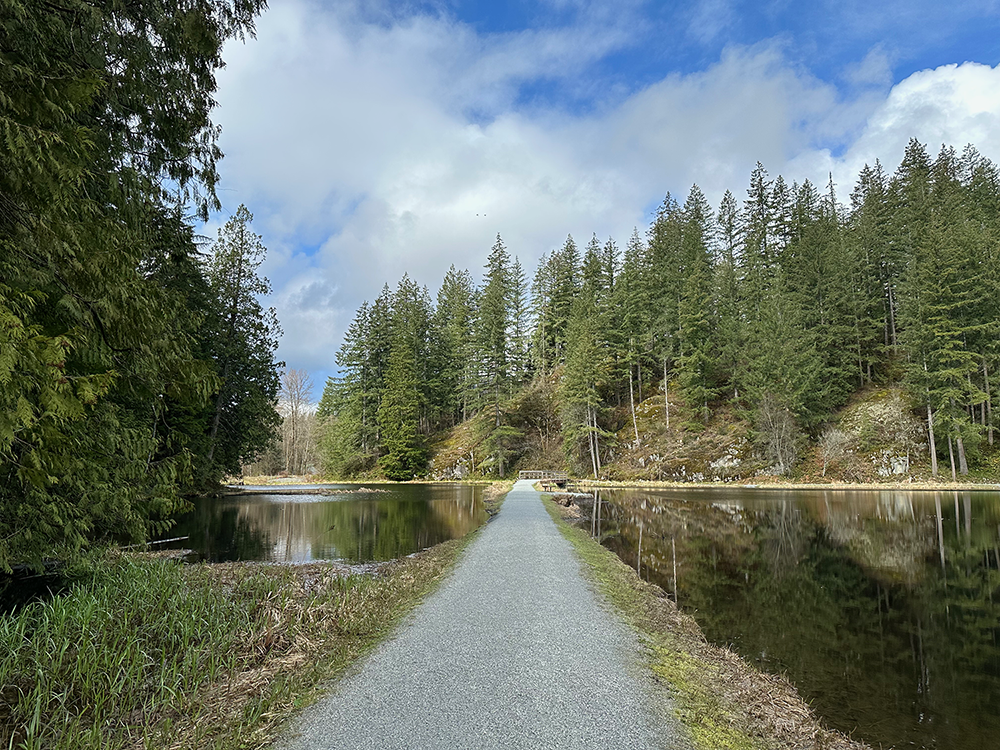
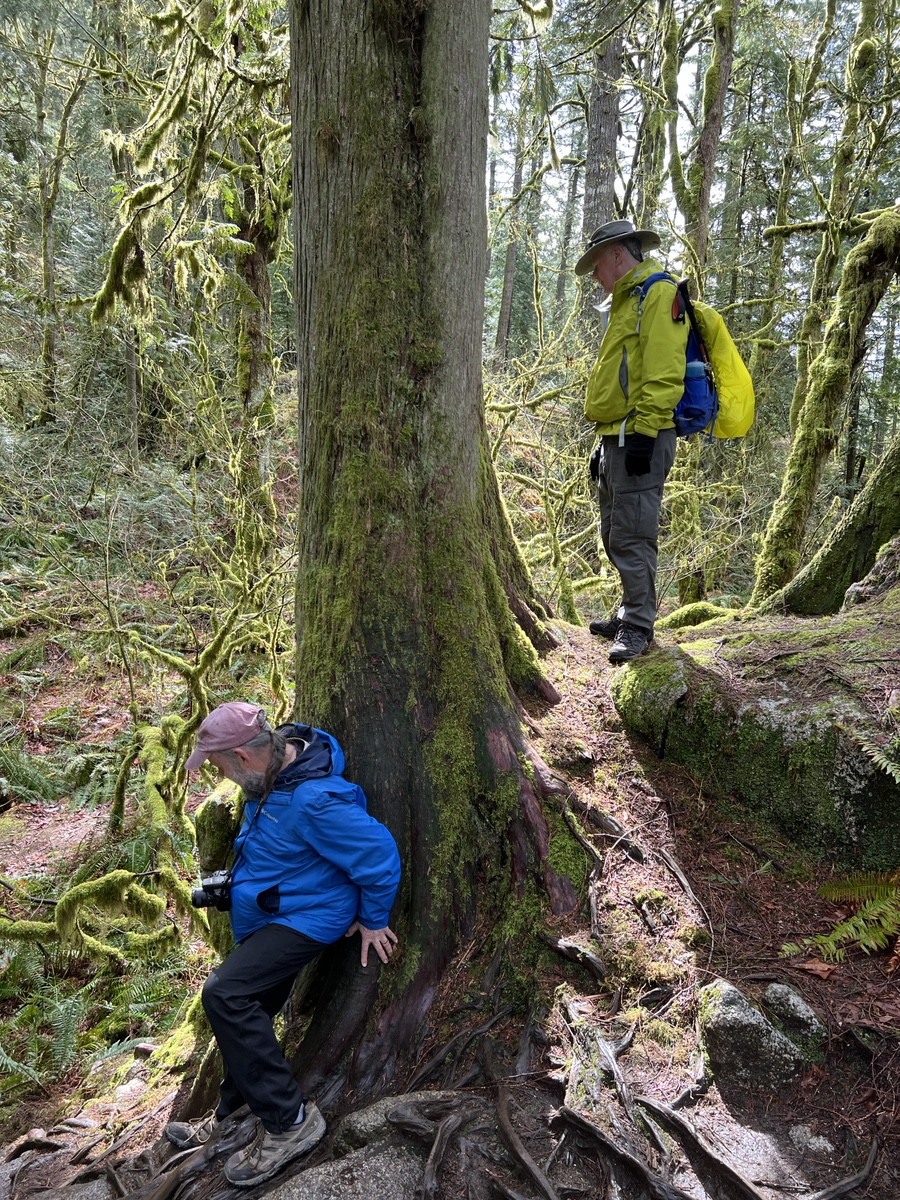
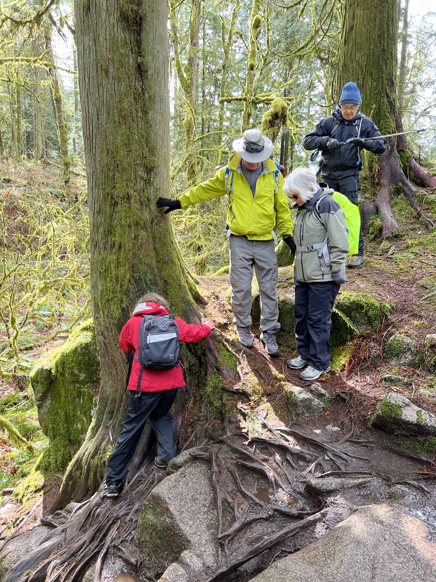
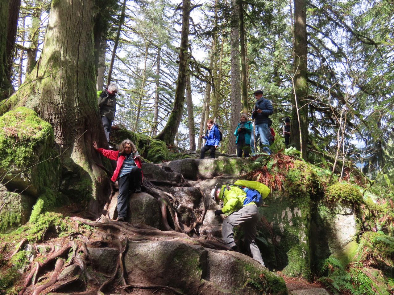
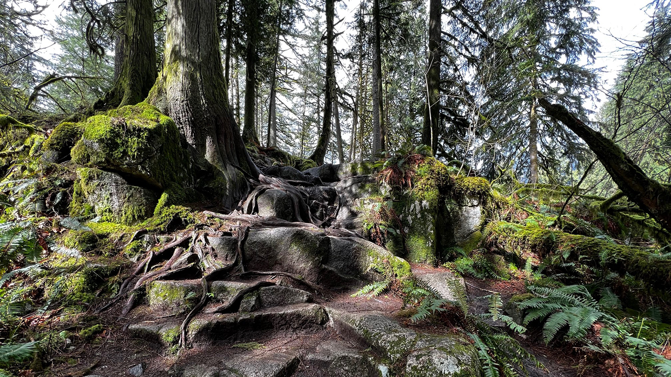
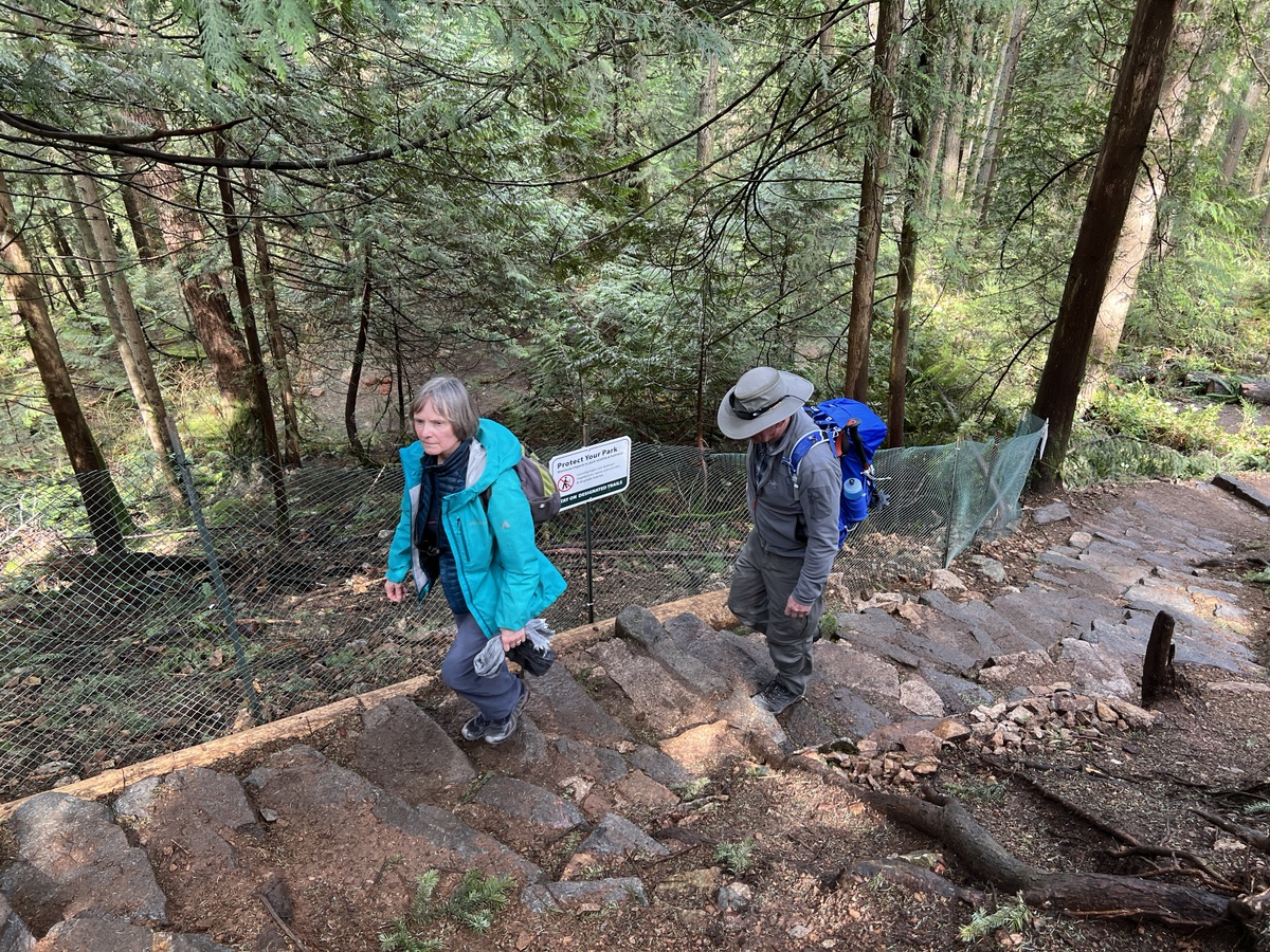
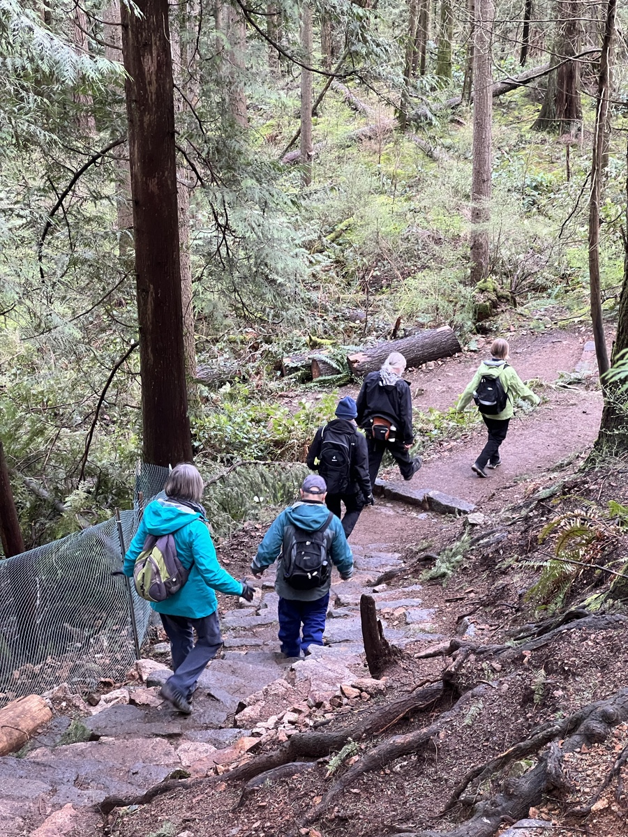
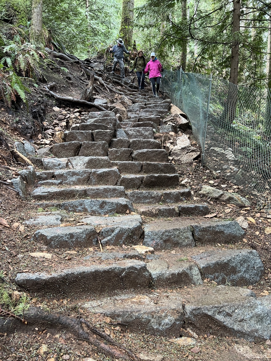
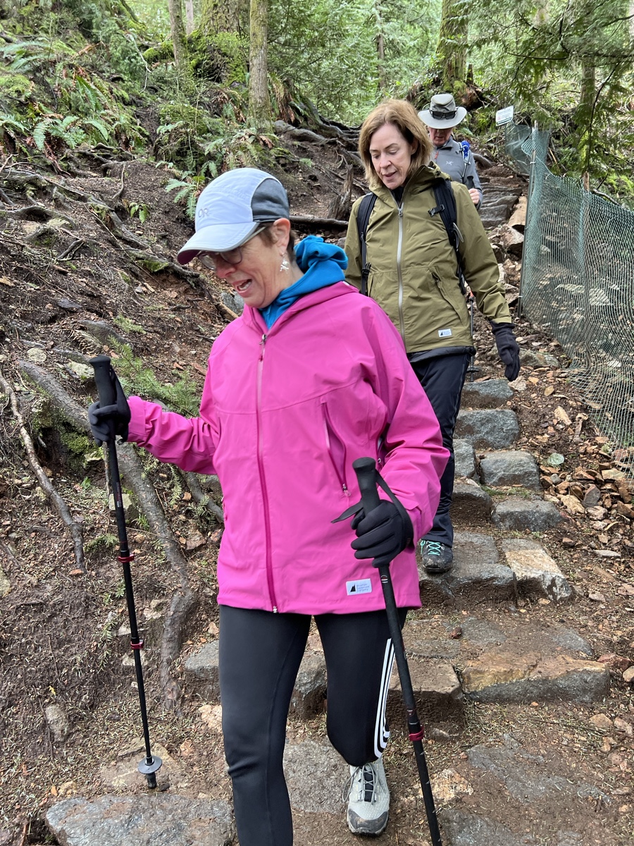
We were pleasantly surprised by the first two-thirds of the walk being dry, with some blue sky and white clouds. At the start, we walked up Cedar Drive into Minnekhada Park. Then we headed to Lower Marsh. Instead of following Fern Trail, as in the 2016 hike, we took Lodge Trail to the causeway. Then we left Lodge Trail and took a rougher trail that was a shortcut up to Log Walk. There were some tricky ups and downs, requiring us to watch our footing.
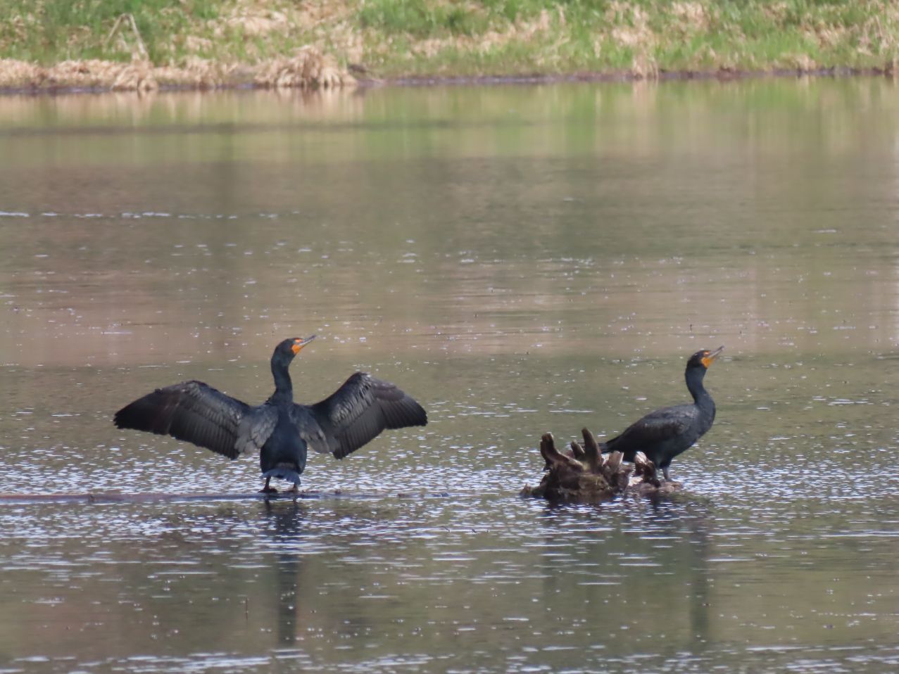
We crossed the marsh on the causeway between the lower and upper marshes.
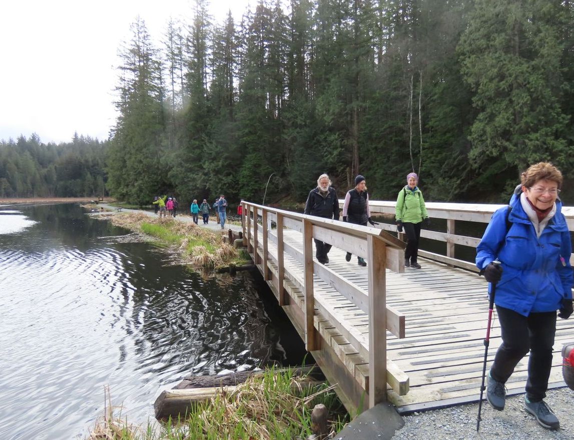
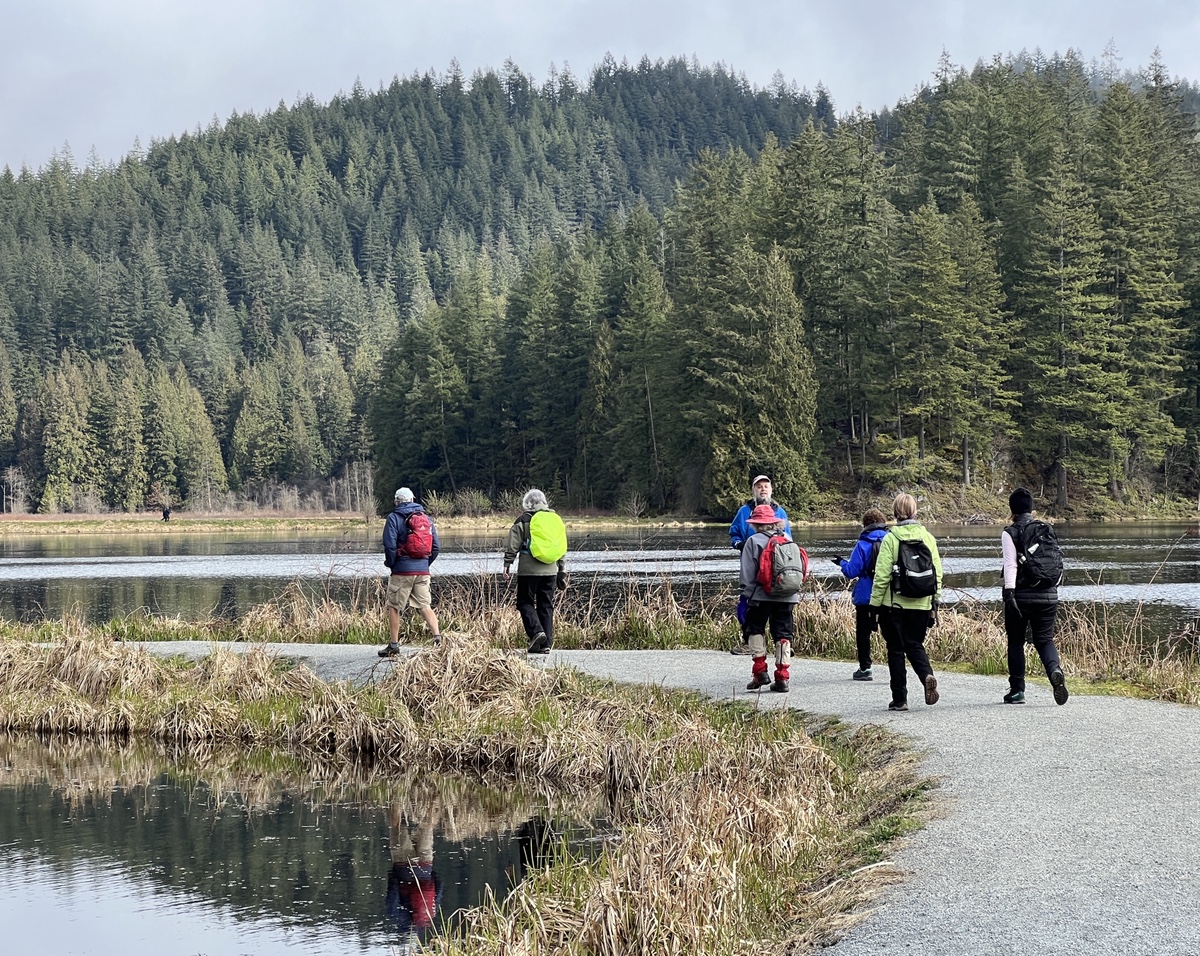
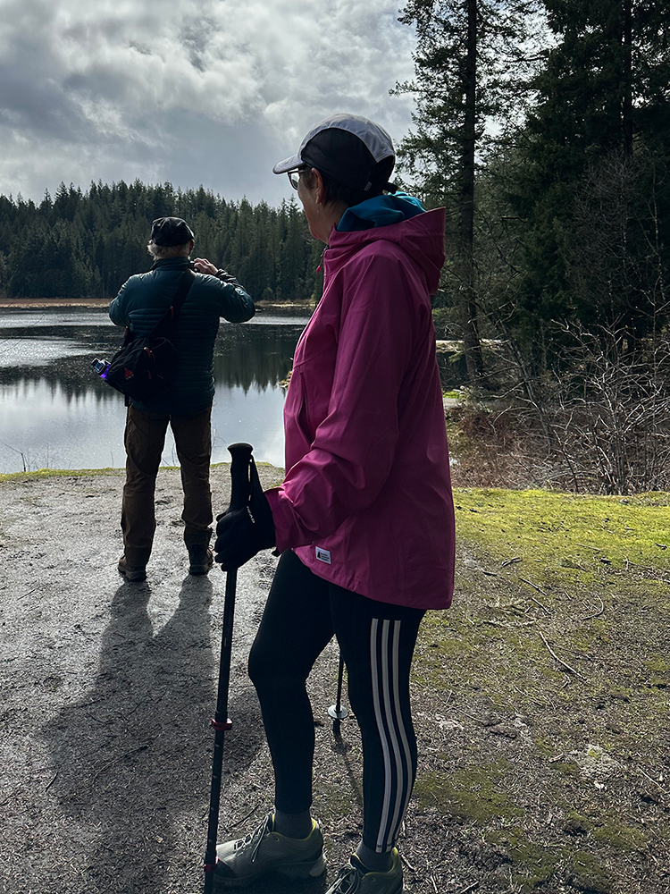

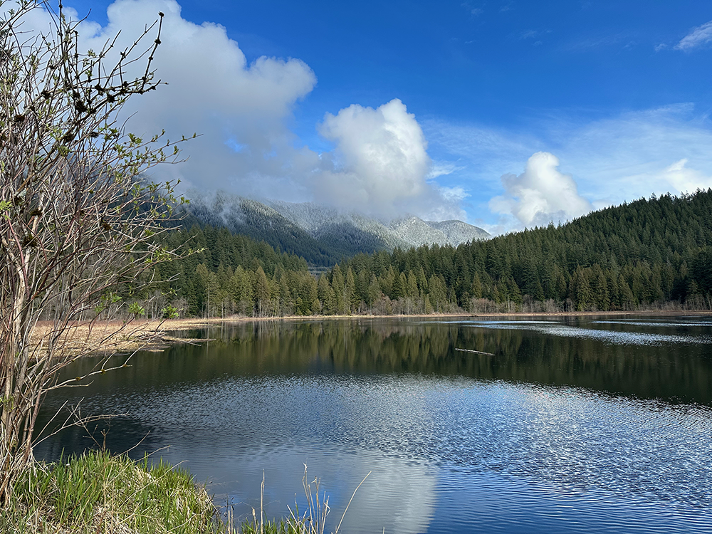

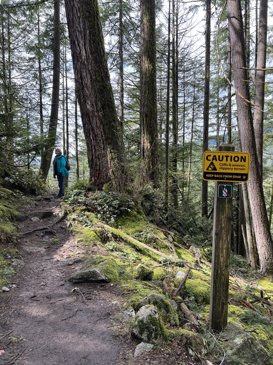
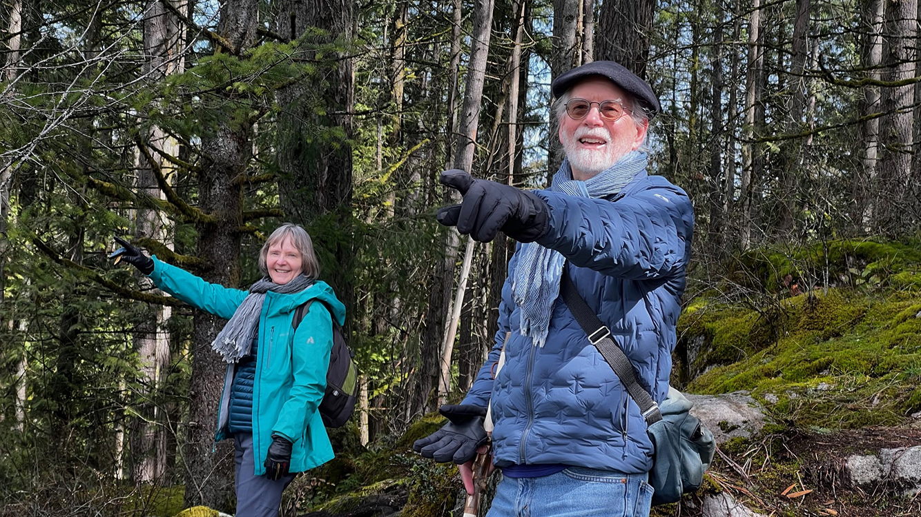
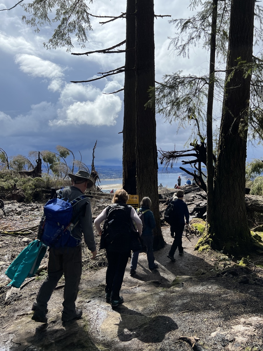
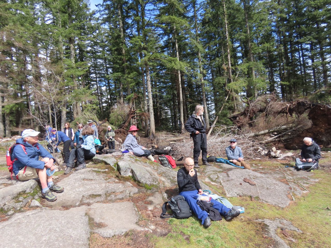
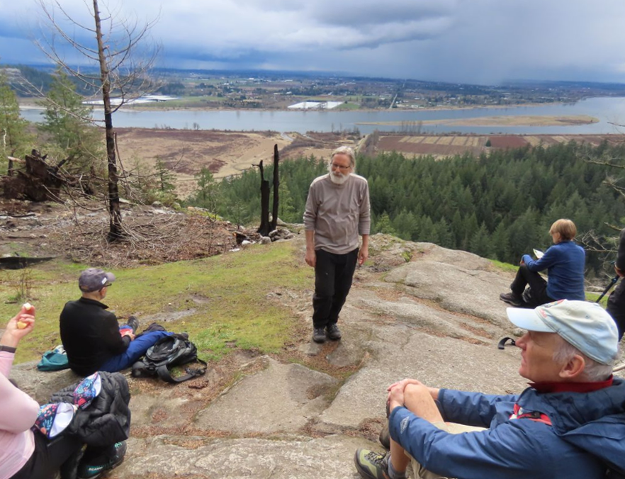
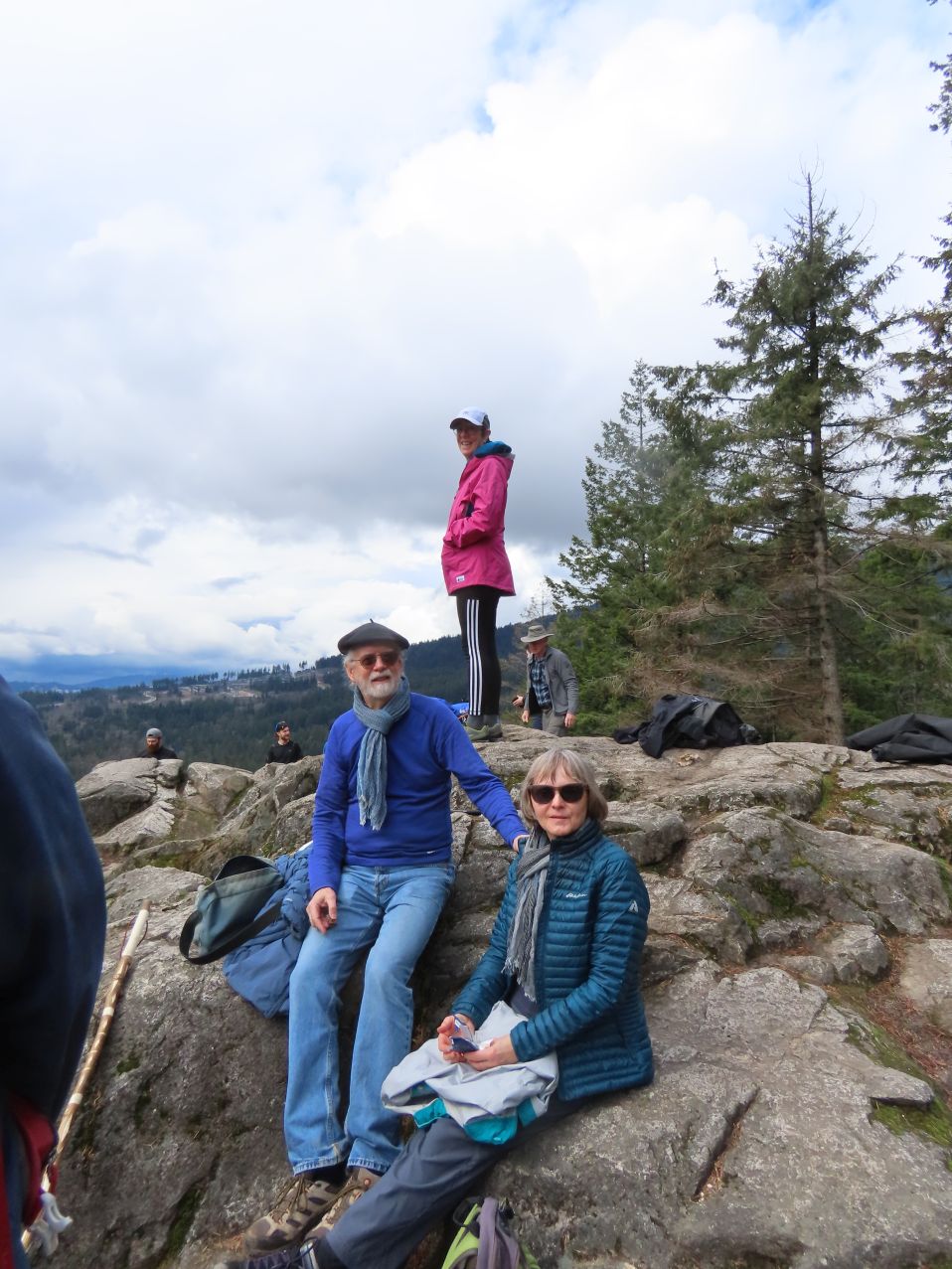
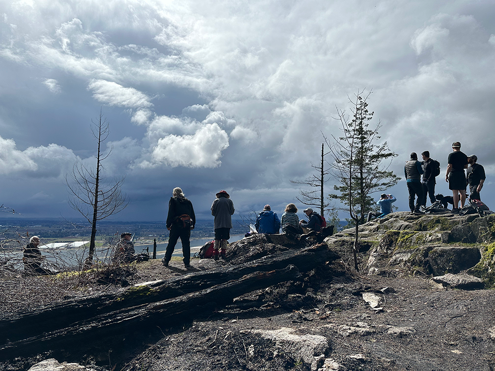
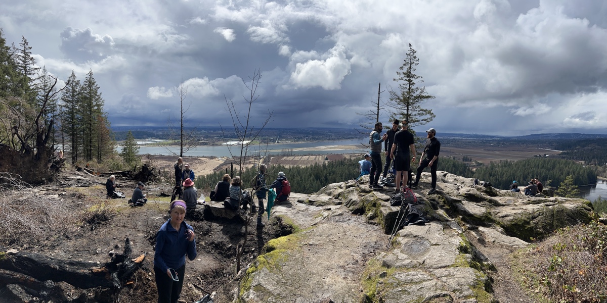
Now we were on Quarry Trail and the main trail system. Most of us went to Low Knoll and then High Knoll. Both were out and back loops from a junction. Views from High Knoll were, as promised, spectacular. We could see Addington Marsh and across the Pitt River to the distant Golden Ears and Port Mann bridges. But this was also where we could see the weather changing, with threatening rain clouds headed our way. So lunch was abbreviated and extra layers came out of backpacks.
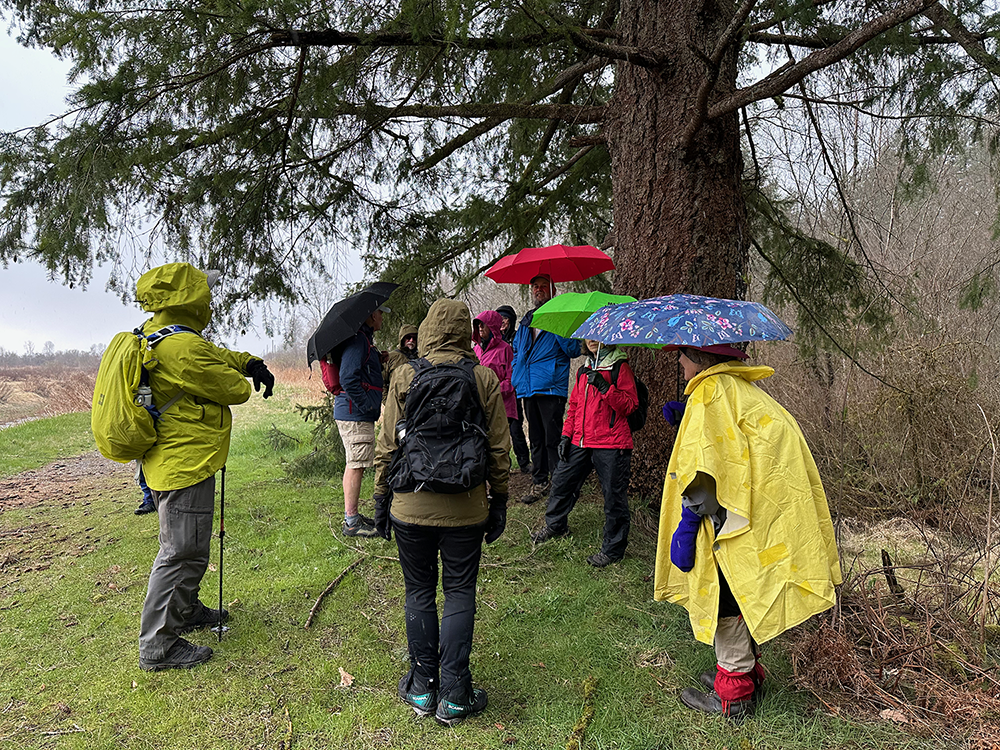

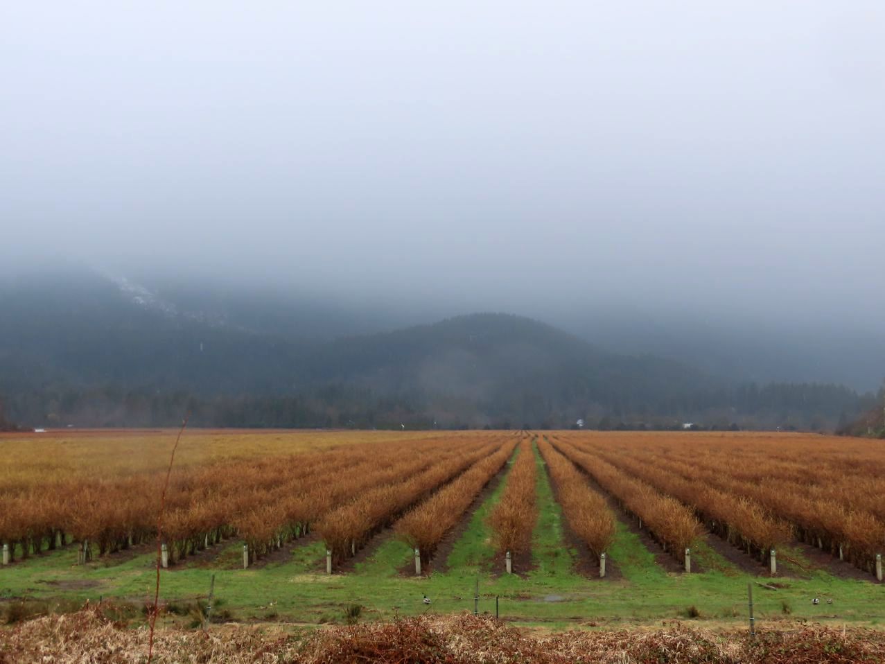

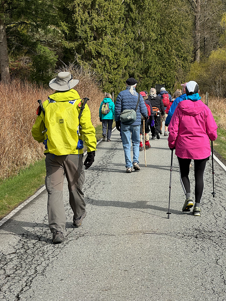
Back on Fern Trail, we made our way to Addington Lookout. Down the last steep bit (more tricky areas to navigate), we emerged onto the dyke next to the Pitt River. And then — hail! Following the hailstorm, during which we attempted to shelter under one large tree, we walked the last four kilometers on the dyke next to the river, ending at DeBoville Slough.
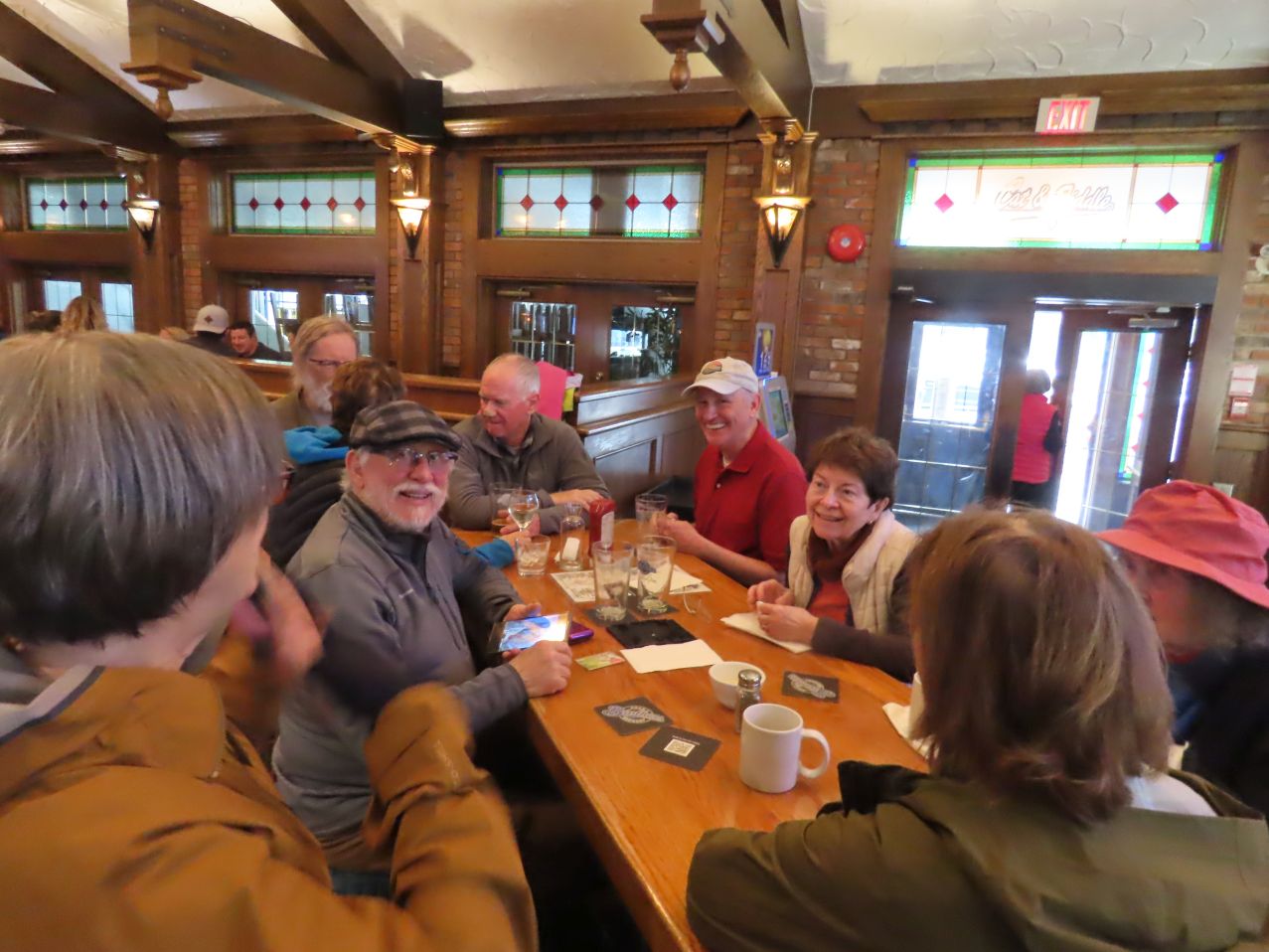
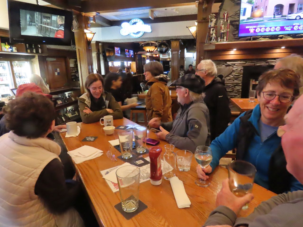
Most took their afters at the Cat and Fiddle, where we were able to relax and warm up, while a separate contingent of six rogue Loopers warmed themselves over coffee at JJ Bean on East Hastings.
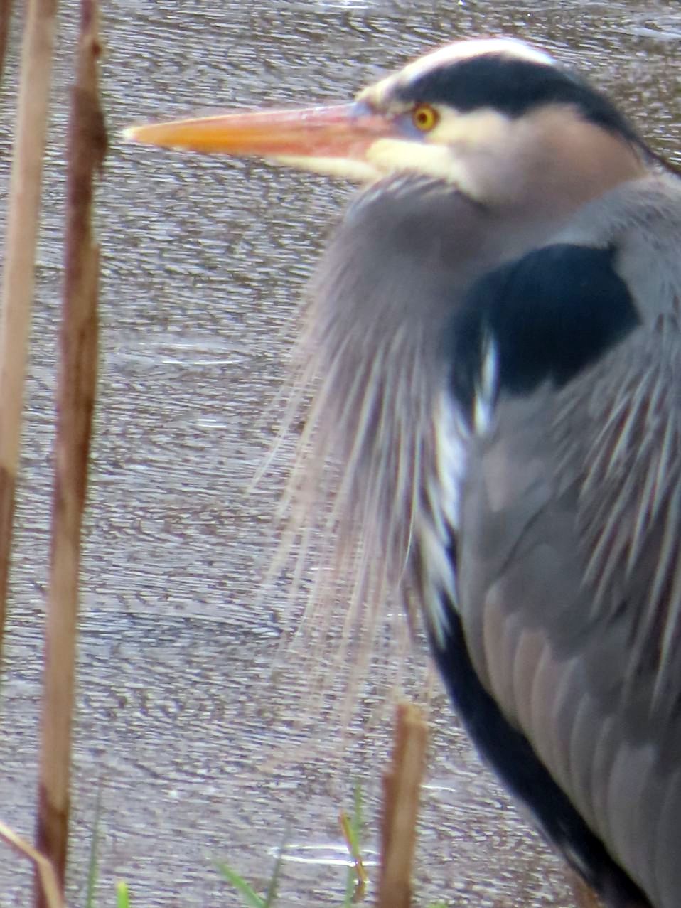
Photos by Angela, Bruce, Jon, Liz, Michael

Sorry I missed it!! A new place for me to explore!
LikeLiked by 1 person